The best running trails around Horrenbach-Buchen
4.5
(377)
16,339
runners
394
runs
Jogging around Horrenbach-Buchen offers diverse terrain in the Canton of Bern, Switzerland, characterized by picturesque landscapes. The region provides views of iconic Swiss Alps peaks like the Eiger, Mönch, and Jungfrau, and is situated near Lake Thun and Lake Brienz. Runners can explore valleys, forests, and a network of paths suitable for various fitness levels.
Best jogging routes around Horrenbach-Buchen
- The most popular jogging route is Running loop from Heiligenschwendi, a 4.0 miles (6.5 km) trail that takes about…
Last updated: August 7, 2026
18
runners
6.47km
00:48
220m
220m
Moderate run. Good fitness required. Mostly paved surfaces. Suitable for all skill levels.
9
runners
4.85km
00:31
60m
60m
Easy run. Great for any fitness level. Mostly paved surfaces. Suitable for all skill levels.

Sign up for free
8
runners
Moderate run. Good fitness required. Mostly accessible paths. Some sure footedness required.
6
runners
18.4km
03:09
1,050m
1,050m
Hard run. Very good fitness required. Sure-footedness, sturdy shoes and alpine experience required.
3
runners
6.85km
00:53
270m
270m
Moderate run. Good fitness required. Mostly paved surfaces. Suitable for all skill levels.
Get access to more routes and recommendations from other explorers.
Sign up for free
Already have an account?
Our route recommendations are based on thousands of hikes, rides, and runs completed by other people on komoot.
Start today with a free account
Your next adventure awaits.
Login or Signup
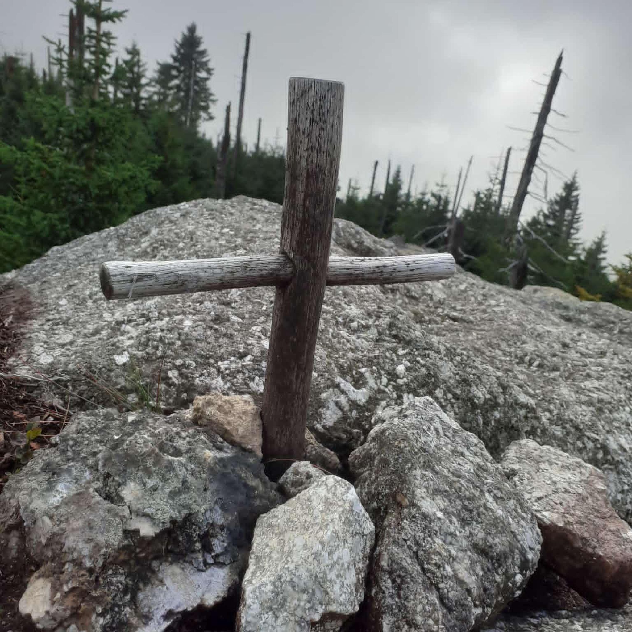
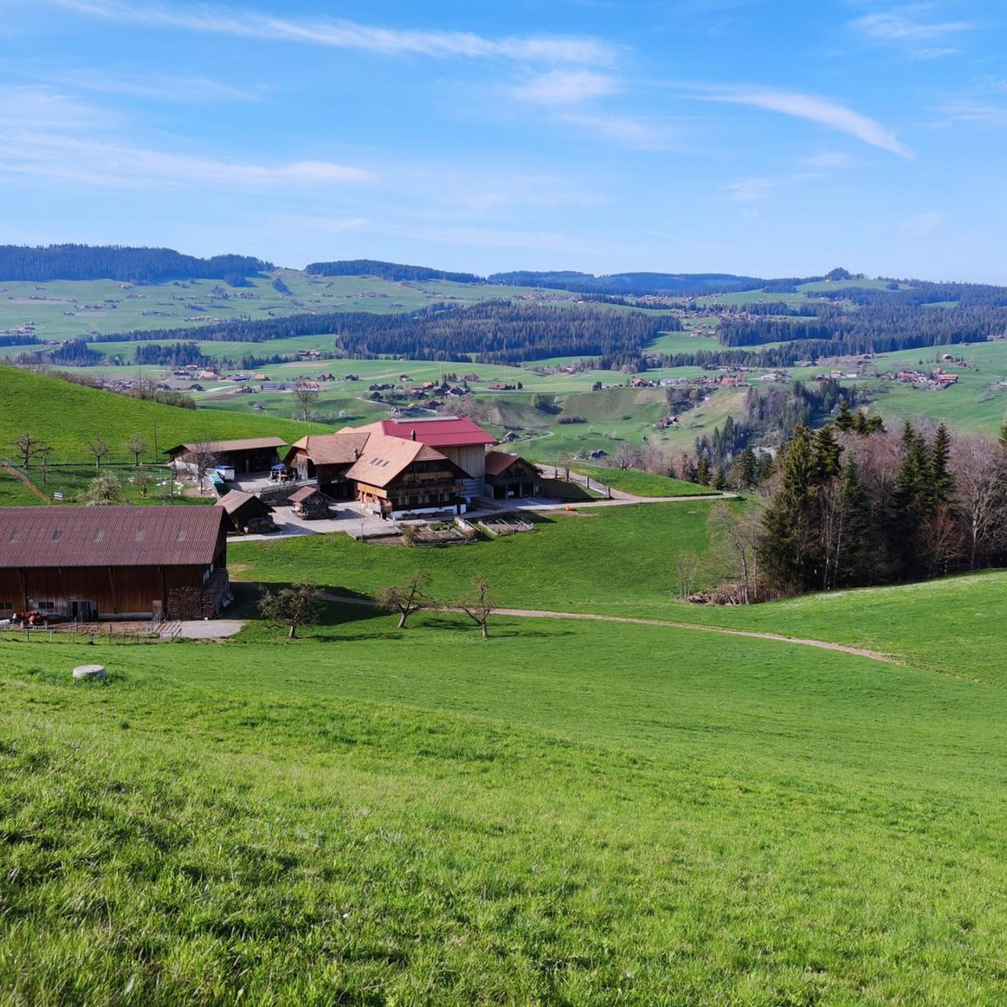
Tips from the Community

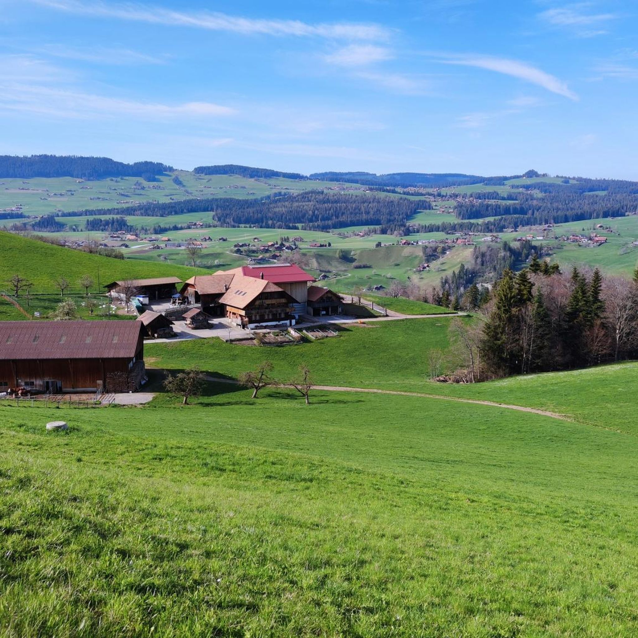
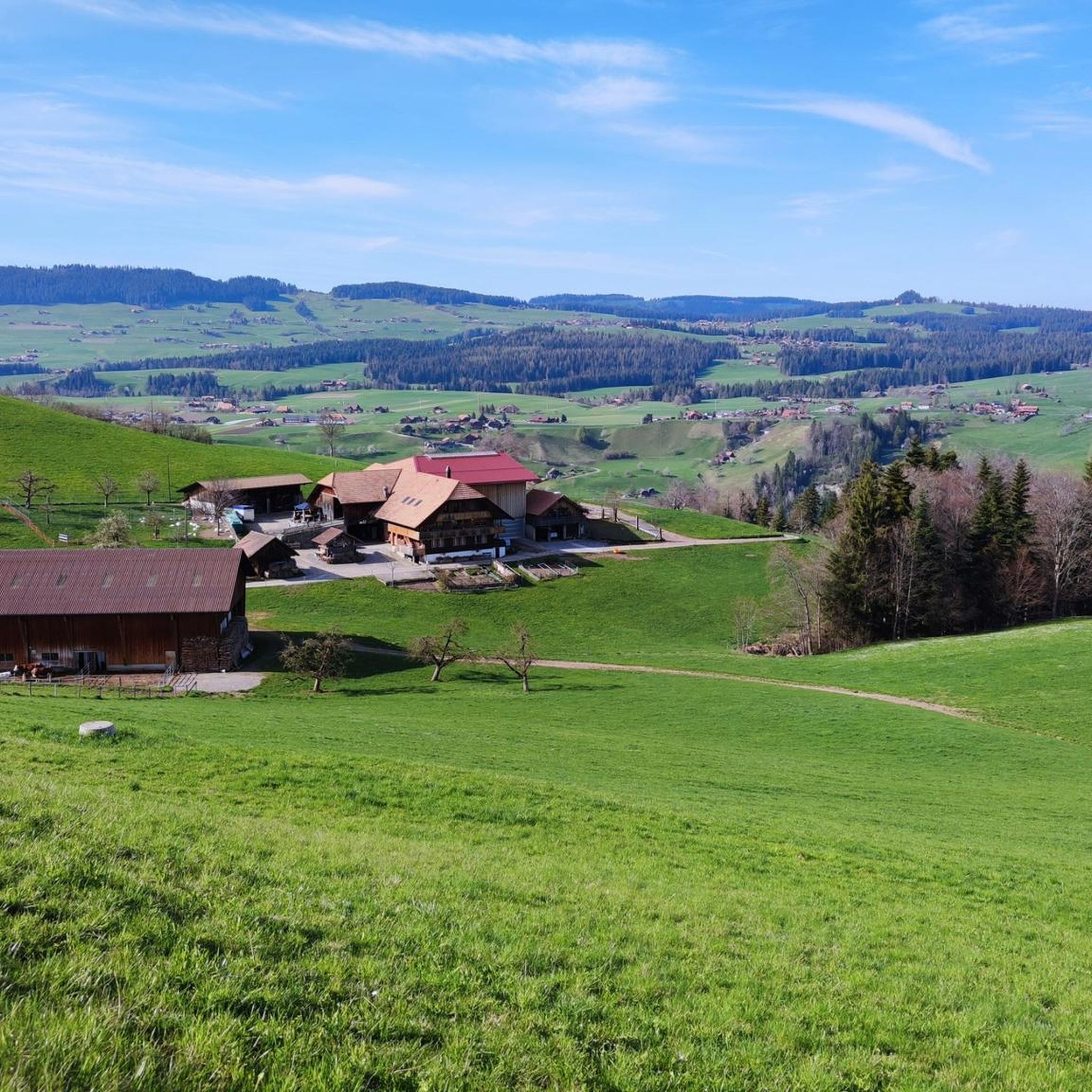
On the heights of Lake Thun, the view is splendid at just over 1,000 metres above sea level, between forests and mountain pastures.
0
0

The Grünberg Pass is unspectacular but very interesting.
0
0

The best dried meat in the world, yogi drinks to wake up tired hikers and nice entertainment. Truly a highlight.
0
0
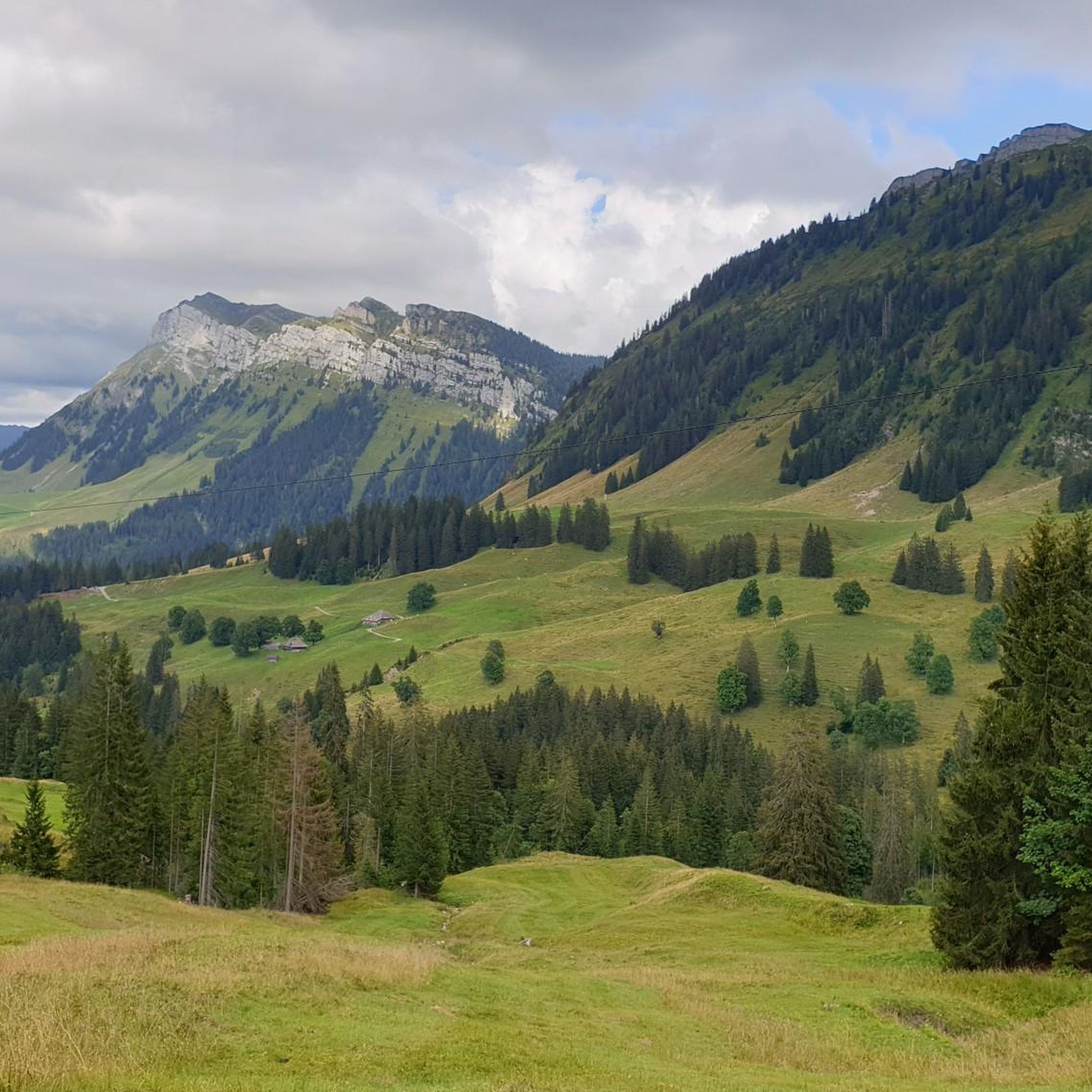
Distinctive saddle between Zulzigraben and Justistal. An impressive place with steep walls to the east and west and special valleys to the north and south. Pleasant on foot, arduous on the bike.
0
1

From Oberhofen, Sigriswil, ... a very nice tour; although there are some steep climbs.
0
1
The climb towards Eriz is very rocky and therefore bumpy. Good steering skills are an advantage.
1
0
It’s impossible to climb there without an e-bike (from both sides). I had to push for a long time.
1
0

Nice view of Thun and the lake
0
0
Frequently Asked Questions
How many running routes are available around Horrenbach-Buchen?
There are over 400 running routes in the Horrenbach-Buchen area, catering to various fitness levels. You'll find a wide selection, from easy loops to more challenging trails through the picturesque landscapes of the Canton of Bern.
Are there easy jogging routes suitable for beginners or families?
Yes, Horrenbach-Buchen offers several easy jogging routes. For instance, the Running loop from Buchholterberg is a gentle 4.8 km trail with mostly paved surfaces, ideal for all fitness levels and families. Overall, there are 33 easy routes available.
What kind of scenery can I expect on the running trails in Horrenbach-Buchen?
Runners in Horrenbach-Buchen can expect breathtaking views of iconic Swiss Alps peaks like the Eiger, Mönch, and Jungfrau. The routes often pass near the stunning Lake Thun and Lake Brienz, and wind through diverse valleys and forests, offering an authentic natural experience.
Are there any running routes with significant viewpoints or observation towers?
Absolutely. A popular choice is the Blueme Observation Tower – Blueme Observation Tower loop from Heiligenschwendi. This moderate 6.7 km route provides scenic views from the Blueme Observation Tower, allowing you to take in the surrounding landscape.
What do other runners say about the trails in Horrenbach-Buchen?
The running routes in Horrenbach-Buchen are highly rated by the komoot community, with an average score of 4.5 stars from over 300 reviews. More than 15,000 runners have explored the varied terrain, often praising the well-maintained paths and stunning alpine and lake views.
Can I find challenging running routes for experienced runners?
Yes, for experienced runners seeking a challenge, Horrenbach-Buchen has 132 difficult routes. An example is the View from the Sense loop from Säge, a demanding 18.4 km trail with over 1000 meters of elevation gain, requiring very good fitness and sure-footedness.
Are there any natural landmarks or attractions near the running paths?
The region is rich in natural beauty. You can find impressive gorges like the Cholerenschlucht Gorge and the Justistal. There are also fascinating caves, including the famous St. Beatus Caves, which feature a beautiful waterfall at their entrance.
Are the running routes typically circular, or do they require an out-and-back approach?
Many of the running routes in Horrenbach-Buchen are designed as loops, offering a varied experience without retracing your steps. Examples include the popular Running loop from Heiligenschwendi and the Winteregg loop from Schwendibach.
What is the terrain like on the jogging trails?
The terrain varies, offering a mix of experiences. Many routes, especially easier ones, feature mostly paved surfaces. However, more challenging trails can involve accessible paths through forests and valleys, with some requiring sturdy shoes and sure-footedness due to elevation changes.
Are there opportunities for winter running or other winter activities?
While specific winter running routes aren't detailed, the region is known for winter sports. You can find opportunities for snowshoe tours in the Zulgtal and circular hikes in the Eriz, suggesting that some paths might be suitable for winter jogging depending on conditions. The area also offers night sledding in winter forests.
Are there any cultural attractions or towns nearby that I can visit after a run?
Yes, while the focus is on nature, the region is close to cultural attractions. The charming Town of Spiez and its historic Spiez Castle are easily accessible and offer a pleasant diversion after your run.
What are the typical distances and elevation gains for running routes in this area?
Running routes in Horrenbach-Buchen vary significantly. Easy routes like the Running loop from Buchholterberg are around 4.8 km with about 58 meters of elevation gain. Moderate routes, such as the Running loop from Heiligenschwendi, are typically 6-7 km with 200-260 meters of elevation. Difficult routes can extend to over 18 km with more than 1000 meters of climbing.
Most popular routes around Horrenbach-Buchen
Most popular attractions around Horrenbach-Buchen

Get inspired with the komoot mobile app


Explore more
Browse the best Running Trails & Routes in other regions.
