The best walks and hikes around Horrenbach-Buchen
4.6
(5784)
41,490
hikers
1,028
hikes
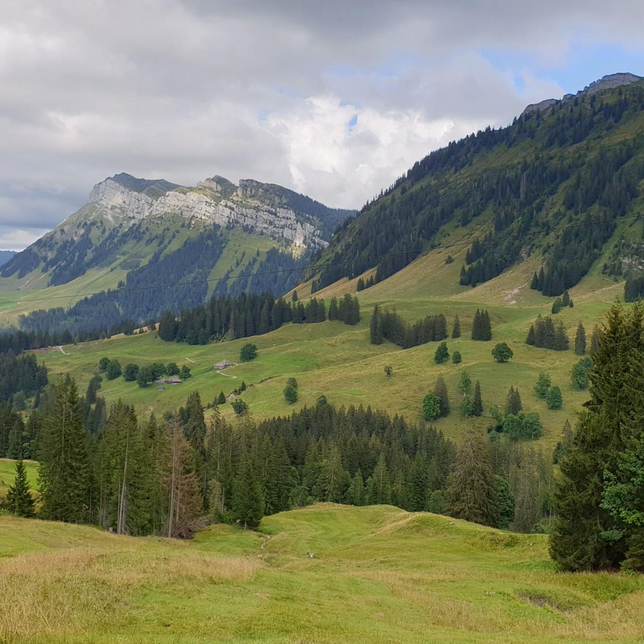
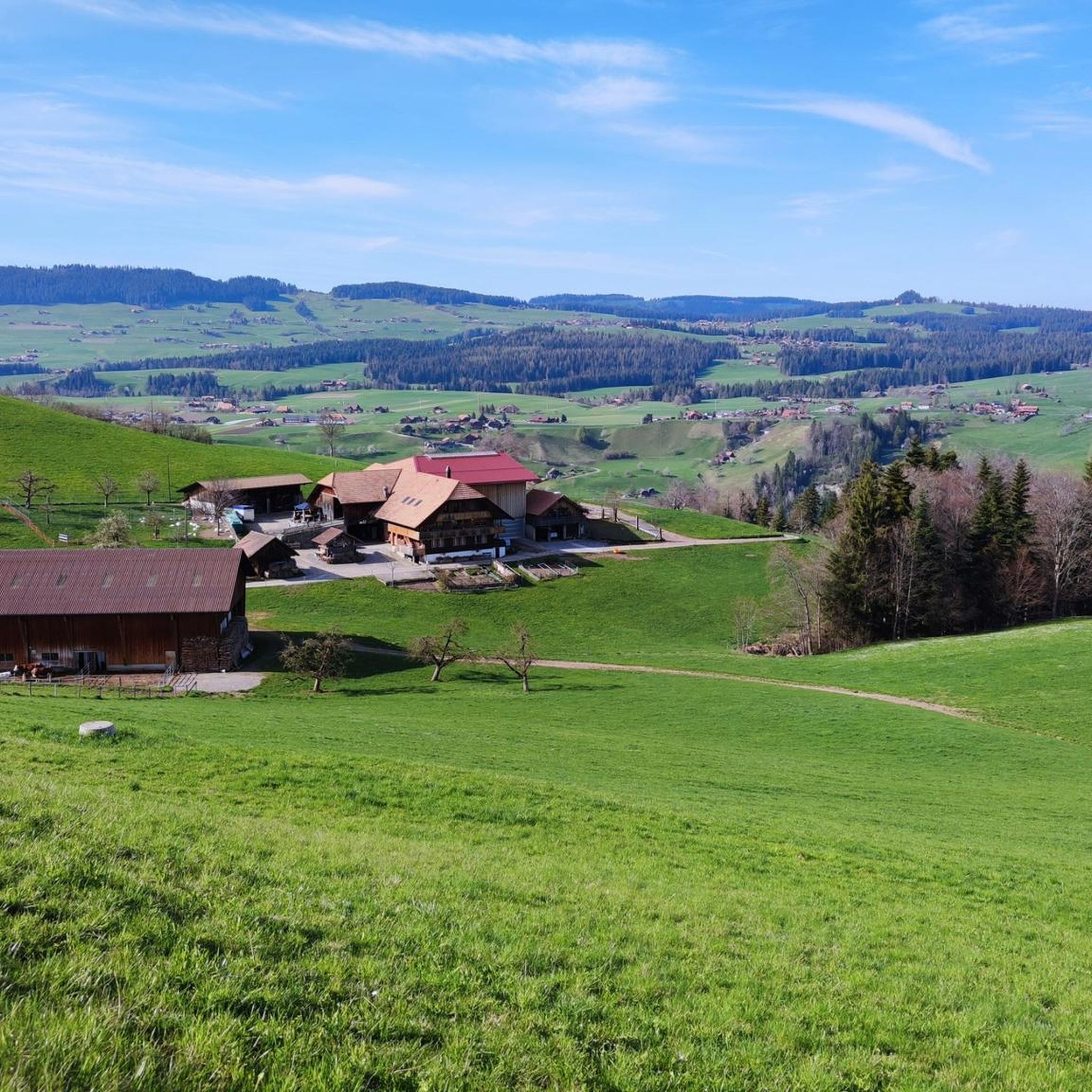
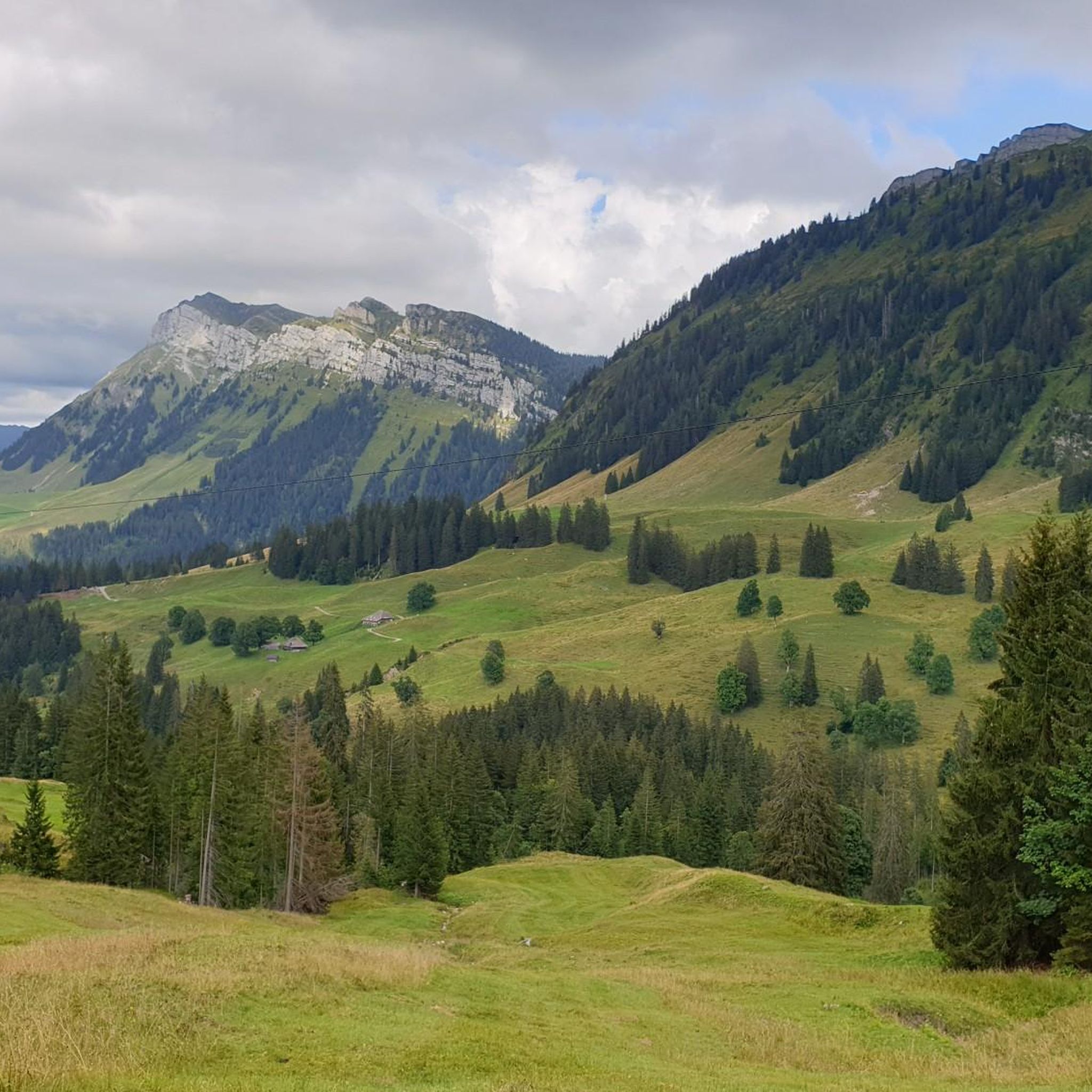
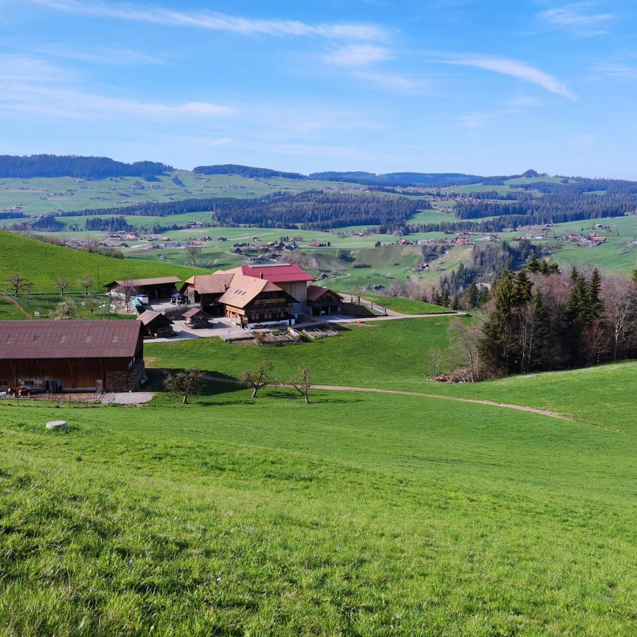
Hiking around Horrenbach-Buchen, nestled in the Bernese Oberland and Swiss plateau, offers diverse landscapes for outdoor exploration. The region features varied terrains, from densely forested areas and idyllic valleys like the Eriztal to open alpine pastures and moorland. Hikers can experience comprehensive panoramic views, including those from the Sigriswil Rothorn, showcasing the mountainous scenery. The landscape transitions from lower valleys to rugged peaks, providing a dynamic backdrop for trails.
Best hiking trails around Horrenbach-Buchen
- The most popular hiking route is View of the Mountain Near Eriz – Sichle Pass loop from Säge, an 8.1 miles (13.0 km) trail that takes 6 hours 0 minutes to complete, featuring significant ascents and panoramic mountain views.
- Another top favourite among local hikers is View of the Mountain Near Eriz – View of the Sichel loop from Säge, a moderate 6.1 miles (9.7 km) path that explores the scenic Eriztal valley.
- Local hikers also love the Trogenhorn Summit – Grünenberg Pass loop from Drüschhubel, an 8.7 miles (14.0 km) trail leading through densely forested areas and between the Sieben Hengste and Hohgant massif, often completed in about 6 hours 15 minutes.
- Hiking around Horrenbach-Buchen is defined by densely forested areas, open alpine pastures, and panoramic mountain views. The network offers options for various ability levels, from moderate routes to challenging mountain hikes.
- The routes in Horrenbach-Buchen are highly rated by the komoot community with an average score of 4.6 stars from over 4,800 reviews. More than 38,000 hikers have used komoot to explore Horrenbach-Buchen's varied terrain.
Last updated: August 20, 2026
4.9
(19)
127
hikers
13.0km
06:00
890m
890m
Hard hike. Very good fitness required. Sure-footedness, sturdy shoes and alpine experience required.
4.8
(26)
102
hikers
9.75km
03:24
540m
550m
Moderate hike. Good fitness required. Easily-accessible paths. Suitable for all skill levels.

Sign up for free
4.9
(14)
98
hikers
14.0km
06:15
960m
960m
Hard hike. Very good fitness required. Sure-footedness, sturdy shoes and alpine experience required.
4.8
(19)
87
hikers
5.50km
01:37
170m
170m
Easy hike. Great for any fitness level. Easily-accessible paths. Suitable for all skill levels.
4.7
(7)
23
hikers
14.1km
04:19
470m
470m
Moderate hike. Good fitness required. Easily-accessible paths. Suitable for all skill levels.
Get access to more routes and recommendations from other explorers.
Sign up for free
Already have an account?
Our route recommendations are based on thousands of hikes, rides, and runs completed by other people on komoot.
Start today with a free account
Your next adventure awaits.
Login or Signup
Tips from the Community

Near the rock face, winding and certainly not entirely without danger. If there is snow, it is too dangerous.
0
0

Note, I couldn't do it because of dizziness.
0
0

Beautiful hike with views of the Dreigestirn, Siebenhengste, Sichle, Sigriswilergrat to Niesen and Stockhorn.
0
0

View of the 7 Stallions, the Burst and Bluemhorn
0
0

The best dried meat in the world, yogi drinks to wake up tired hikers and nice entertainment. Truly a highlight.
0
0
Distinctive saddle between Zulzigraben and Justistal. An impressive place with steep walls to the east and west and special valleys to the north and south. Pleasant on foot, arduous on the bike.
0
1

The climb towards Eriz is very rocky and therefore bumpy. Good steering skills are an advantage.
1
0

It’s impossible to climb there without an e-bike (from both sides). I had to push for a long time.
1
0
Frequently Asked Questions
How many hiking trails are available in Horrenbach-Buchen?
Horrenbach-Buchen offers a wide selection of hiking opportunities, with over 1000 trails to explore. These range from easy strolls to challenging mountain hikes, catering to various fitness levels.
Are there easy or family-friendly hiking trails in Horrenbach-Buchen?
Yes, Horrenbach-Buchen has over 450 easy hiking trails, many of which are suitable for families. These routes often lead through idyllic valleys and open alpine pastures, providing a pleasant experience for all. An example of an easy route is the Trüschhübel Alp loop from Innereriz, which is just over 5.5 km long.
What kind of challenging hikes can I find in Horrenbach-Buchen?
For experienced hikers, Horrenbach-Buchen offers over 140 difficult trails. These often involve significant ascents and descents, leading to panoramic viewpoints like those from the Sigriswil Rothorn. A challenging option is the View of the Mountain Near Eriz – Sichle Pass loop from Säge, which covers 13 km with substantial elevation gain.
Are there any circular hiking routes in Horrenbach-Buchen?
Yes, many of the trails in Horrenbach-Buchen are circular, allowing you to start and end at the same point. For instance, the View of the Mountain Near Eriz – View of the Sichel loop from Säge is a moderate 9.7 km circular path exploring the scenic Eriztal valley.
Can I bring my dog on the hiking trails in Horrenbach-Buchen?
Horrenbach-Buchen is known for its dog-friendly hiking options. Many trails are suitable for exploring with your pets, allowing you to enjoy the diverse landscapes together. Always ensure your dog is on a leash where required and respect local wildlife.
What natural features or landmarks can I see along the hiking trails?
The region boasts diverse natural features, from densely forested areas and lush meadows to rugged peaks. You can find impressive natural monuments and waterfalls nearby. Consider visiting the St. Beatus Caves or the Waterfall in front of the Beatus Caves, which are popular highlights in the broader area.
What do other hikers enjoy most about hiking in Horrenbach-Buchen?
The komoot community highly rates the hiking experience in Horrenbach-Buchen, with an average score of 4.6 stars from over 4,800 reviews. Hikers often praise the comprehensive panoramic views, the varied terrain from forests to alpine pastures, and the well-maintained trails that offer a constantly changing and engaging experience.
Are there trails that lead through unique landscapes like moorland?
Yes, the broader region offers unique landscapes such as moorland areas. While not directly within Horrenbach-Buchen, nearby Sörenberg features adventure-filled hikes with interactive experience stations in its moorland, providing a unique exploration of this natural environment.
What is the best time of year for hiking in Horrenbach-Buchen?
The diverse landscape of Horrenbach-Buchen makes it suitable for hiking across multiple seasons. Spring and autumn offer pleasant temperatures and vibrant scenery, while summer provides access to higher alpine pastures. Some trails may be accessible for winter hiking, but conditions can vary, so checking local reports is advisable.
Are there any less crowded hiking trails in Horrenbach-Buchen?
While some routes are popular, the region offers many trails that allow for a more secluded experience. Idyllic valleys like the Eriztal, for example, provide opportunities for beautiful circular hikes away from crowded tourist spots. The Rotmoos Raised Bog – View of the Mountain Near Eriz loop from Eriz is a moderate 14.1 km route that can offer a quieter experience.
What are the options for parking and public transport when accessing trails?
Access to trails in Horrenbach-Buchen often includes options for both parking and public transport. Many trailheads have designated parking areas. For public transport, services connect to various starting points, especially in the broader Bernese Oberland region. It's recommended to check specific route details for the most convenient access points.
Most popular routes around Horrenbach-Buchen
Most popular attractions around Horrenbach-Buchen

Get inspired with the komoot mobile app


Explore more
Browse the best Hikes in other regions.
