The best walks and hikes in Hilo Watershed Forest Reserve
4.7
(7)
83
hikers
6
hikes
Hikes in Hilo Watershed Forest Reserve explore a protected landscape on the windward slopes of Mauna Kea. The region is characterized by a dense montane rainforest, numerous streams, and trails that cross older lava flows reclaimed by native vegetation. This watershed provides a habitat for native forest birds and is defined by its lush ʻōhiʻa lehua and koa forests.
Best hiking trails in Hilo Watershed Forest Reserve
- The most popular hiking route is Puʻu Oʻo Trail loop — Hawaiʻi Island…
Last updated: September 1, 2026
4.5
(2)
19
hikers
13.9km
03:35
70m
80m
Hike the 8.6-mile Puʻu Oʻo Trail loop on Hawaiʻi Island, a moderate route through lava fields and lush kīpukas with unique birdwatching.
5.0
(1)
9
hikers
8.76km
02:19
80m
80m
Moderate hike. Good fitness required. Easily-accessible paths. Suitable for all skill levels.

Sign up for free
1.83km
00:28
10m
10m
The Hilo Bayfront Trail offers a delightful, easy walk along the picturesque shoreline of Hilo Bay, providing expansive views of the water and the distant, majestic peaks of Mauna Kea…
13
hikers
5.01km
01:17
20m
20m
Easy hike. Great for any fitness level. Easily-accessible paths. Suitable for all skill levels.
4.0
(2)
6
hikers
Moderate hike. Good fitness required. Easily-accessible paths. Suitable for all skill levels.
Our route recommendations are based on thousands of hikes, rides, and runs completed by other people on komoot.
Start today with a free account
Your next adventure awaits.
Login or Signup
Popular around Hilo Watershed Forest Reserve
Tips from the Community

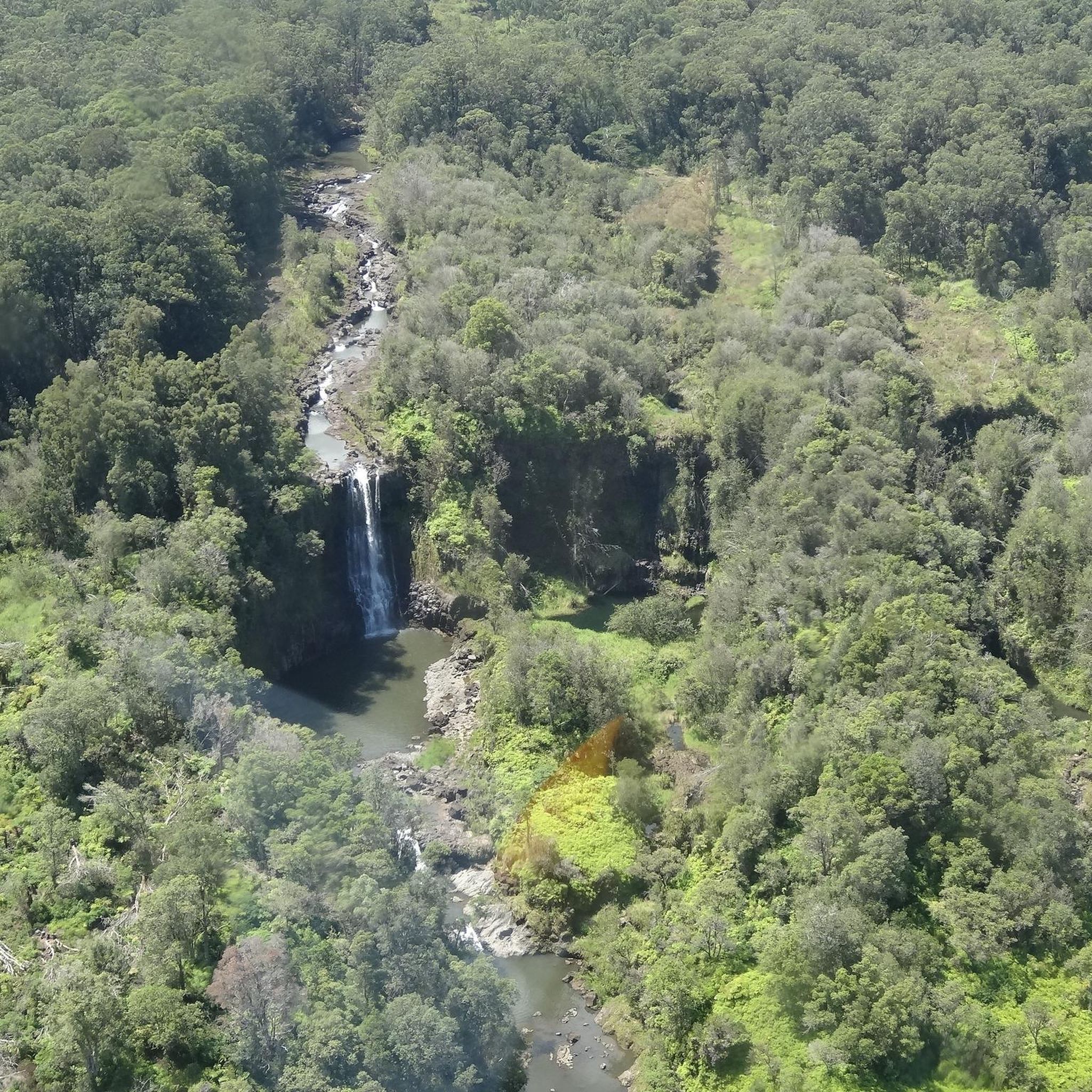
impressive waterfall in front of a huge cave
2
0
beautifully landscaped Japanese-style park with tea house and giant trees
3
0

Rainbow (Waiānuenue) Falls is a large waterfall, measuring 80 ft (24 m) tall and almost 100 ft (30 m) in diameter. It is free to enter and see the falls because this area is part of the Hawai'i State Parks. There is no fee to see the falls. Rainbow Falls gets its name from the rainbows that show around the falls, created by the mist from the falls and the sunshine at 10:00 a.m.
0
0

The Naha Stone was a sacred stone to test a member of a particular bloodline for leadership. Whoever could move the stone possessed the 'mana' or spiritual power to rule.
0
0
The 80-foot Rainbow Falls is a beautiful sight to see. While the falls itself is not safe for swimming, the pools above the falls are safe given the weather is good. Legends say that the cave beneath the waterfall was the home of Hina, mother of the demigod Maui.
0
0

Liliʻuokalani Gardens, named after Hawaiʻi's final reigning monarch, Queen Liliʻuokalani, stands as the most extensive authentic ornamental Japanese garden outside of Japan. This genuine 24.67-acre Japanese garden was inaugurated in 1917 as a tribute to the initial Japanese immigrants who worked in the sugar cane fields of the island of Hawaiʻi. This meticulously landscaped park boasts gracefully arched bridges spanning over serene fishponds, artful rock gardens, picturesque pagodas, traditional Japanese stone lanterns, and a tranquil tea house. The garden's ambiance is further enriched by panoramic views of Hilo Bay and Mokuola (Coconut Island), creating a serene and captivating setting.
0
0

The name is based on the fact that at 10 o'clock in the morning the spray of the waterfall creates a rainbow.
0
0
Spanning over 28 miles, the Wailuku River is the longest in Hawaii, flowing primarily between the lava flows of Mauna Kea and Mauna Loa. This expansive waterway serves as a natural divider between the two massive volcanoes along the island's central region.
0
0
Frequently Asked Questions
Are there any easy, family-friendly hikes in the Hilo Watershed Forest Reserve?
The trails within the reserve are generally best for moderately experienced hikers due to the terrain. For a shorter, more accessible nature walk that's great for families and birdwatching, the nearby Kaulana Manu Nature Trail is a highly regarded option. For a gentle walk with coastal views, consider the Coconut Island (Mokuola) – Liliuokalani Gardens loop from Hilo.
Do I need a permit to hike in the Hilo Watershed Forest Reserve?
No permits are required for day hiking on the established trails within the Hilo Watershed Forest Reserve. However, permits are necessary for other activities such as camping, hunting, or accessing certain restricted areas. For the most current regulations, it's best to check with the Hawaii Division of Forestry and Wildlife.
What are the trail conditions like and what gear should I bring?
The Hilo region receives significant rainfall, so expect trails to be wet and muddy year-round. The paths often traverse lush rainforest, old lava flows, and can be uneven.
Essential gear includes:
- Waterproof hiking boots with good grip.
- Rain gear, as showers can be frequent and sudden.
- Plenty of water and snacks.
- Insect repellent.
Can I see waterfalls while hiking in the area?
Yes, the Hilo area is famous for its waterfalls. While many trails are defined by streams and lush, wet conditions, one of the most accessible and famous waterfalls is Rainbow Falls. You can visit it on the Rainbow Falls – Wailuku River State Park loop from Pu‘u‘eo, which takes you through the surrounding state park.
How do I get to the trailheads in the Hilo Watershed Forest Reserve?
Access to many trailheads, particularly those along Saddle Road (State Route 200), can be challenging. Some access roads are unpaved, narrow, and may require a 4-wheel-drive vehicle, especially after heavy rain. Always check the specific access requirements for your chosen trail before you go.
Is birdwatching good in the Hilo Watershed Forest Reserve?
Absolutely. The reserve is a sanctuary for native Hawaiian forest birds, some of which are endangered. The dense canopy of ʻōhiʻa and koa trees provides a critical habitat. Listen for the calls of the `akepa and Hawaiʻi creeper. The quiet solitude of the trails makes it an excellent place for birdwatching enthusiasts.
Are there any circular or loop trails available?
Yes, there are several excellent loop trails. A great option for experiencing the volcanic landscape and native forest is the Puʻu Oʻo Trail loop from Pu’u O’o Trail. This moderate hike offers an immersive experience without having to backtrack.
What is the Puʻu Oʻo Trail like?
The Puʻu Oʻo Trail is one of the signature hikes in the region, taking you through a fascinating variety of landscapes. You'll hike across older, vegetated lava flows and through sections of beautiful native rainforest. The full Puʻu Oʻo Trail loop is a longer, moderately challenging trek that provides a deep dive into the island's unique ecology.
Can you tell me more about the Emesine Cave trail?
The Emesine Cave loop from Kaumana is a challenging route that explores the lush wilderness near the Kaumana area. It's a long hike suited for experienced and well-prepared hikers, offering a sense of true immersion in the wilder parts of the forest.
How does hiking here compare to Hawaii Volcanoes National Park?
The Hilo Watershed Forest Reserve offers a different kind of experience. It's much less crowded, providing a sense of solitude and immersion in a lush, wet, native rainforest. While the National Park focuses on active volcanism and vast, dramatic lava landscapes, the Forest Reserve is about the life that reclaims the land—dense forests, rich birdlife, and serene streams.
What do other hikers enjoy most about the Hilo Watershed Forest Reserve?
The area is well-regarded by the komoot community. Hikers often praise the feeling of solitude and being immersed in a pristine, authentic Hawaiian rainforest. The unique experience of walking on old lava flows reclaimed by vibrant green vegetation is another frequently mentioned highlight.
Where can I find a reliable trail map?
For navigating trails in this area, it's highly recommended to use a GPS-enabled app. The Hawaii Division of Forestry and Wildlife partners with the Outerspatial app for trail information. You can also use the komoot app to plan your route and navigate offline, which is crucial as cell service can be unreliable in the reserve.
Most popular routes in Hilo Watershed Forest Reserve

Get inspired with the komoot mobile app


Explore more
Browse the best Hikes in other regions.
