The best walks and hikes around Eibenstock
4.6
(5936)
19,409
hikers
416
hikes
Hiking around Eibenstock offers diverse landscapes within the Nature Park Erzgebirge/Vogtland. The region is characterized by the deep green forests of the Ore Mountains, idyllic valleys like the Steinbach Valley, and the prominent Auersberg Mountain, which rises to 1,018 meters. Several dams, including the Eibenstock Dam and Sosa Dam, contribute to the varied terrain, alongside historical mining landscapes with traces of tin mining.
Best hiking trails around Eibenstock
- The most popular hiking route is On the Köhlerlehrpfad (Charcoal Burning Trail)…
Last updated: September 28, 2026
4.8
(183)
519
hikers
12.0km
03:22
240m
240m
Moderate hike. Good fitness required. Easily-accessible paths. Suitable for all skill levels.
4.6
(135)
367
hikers
15.2km
04:42
490m
490m
Moderate hike. Good fitness required. Mostly accessible paths. Sure-footedness required.

4.5
(352)
1,015
hikers
15.1km
04:18
350m
350m
Moderate hike. Good fitness required. Mostly accessible paths. Sure-footedness required.
4.7
(593)
1,800
hikers
5.76km
01:35
100m
100m
Easy hike. Great for any fitness level. Easily-accessible paths. Suitable for all skill levels.
4.8
(331)
1,076
hikers
Easy hike. Great for any fitness level. Easily-accessible paths. Suitable for all skill levels.
Get access to more routes and recommendations from other explorers.
Already have an account?
Our route recommendations are based on thousands of hikes, rides, and runs completed by other people on komoot.
Start today with a free account
Your next adventure awaits.
Popular around Eibenstock

Hiking with heart in the Ore Mountains
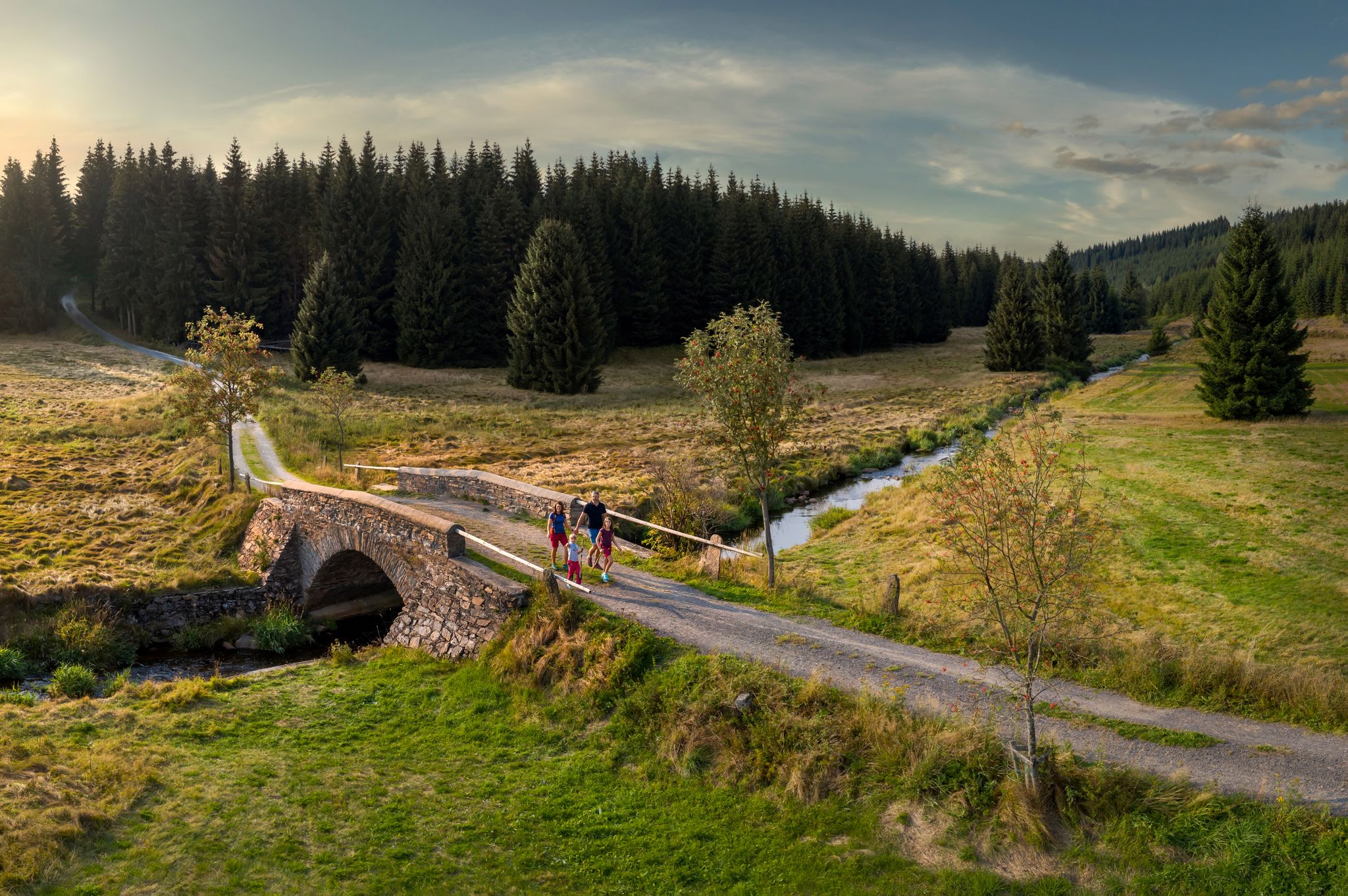
‘Good luck’ in the hiking paradise of the Ore Mountains

History meets nature – Erzgebirge-Vogtland Ridge Trail
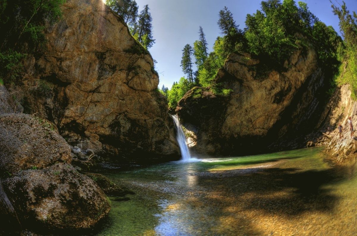
Germany's roaring waterfalls

The Stoneman Trail in the Ore Mountains

Let it flow! Cross-country skiing in the Ore Mountains

Digitale Wandernadel
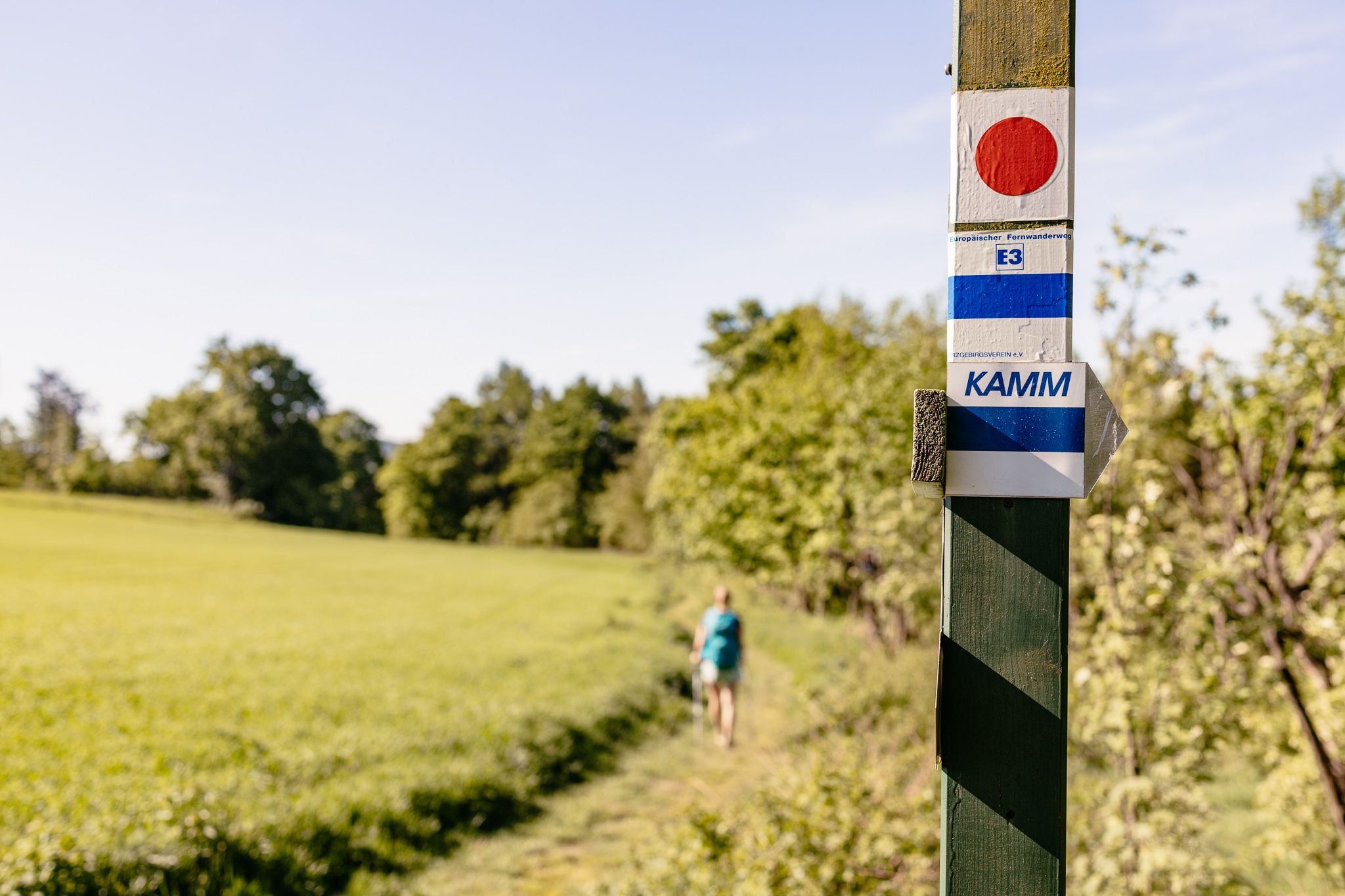
Der Kammweg Erzgebirge-Vogtland aus Sicht einer Bloggerin

Wandertouren - Für kleine Wanderfreunde

Wandertouren - Handwerk & Heimatgenuss
Other adventures around Eibenstock


Tips from the Community


To the summit! The challenging hike to the second highest mountain in the Saxon Ore Mountains is rewarded with a fantastic panoramic view from the observation tower. The last section up to the Auersberg leads behind the "Großer Stern" (hut) via the Himmelsleiter to the summit at 1,018 m altitude. The partly arduous ascent is rewarded with a magnificent view from the oldest stone observation tower (1860) in the Ore Mountains.
0
0
Definitely worth seeing
1
0
Definitely worth seeing
1
0
Definitely worth seeing
0
0
Frequently Asked Questions
How many hiking trails are available around Eibenstock?
Eibenstock offers a wide range of hiking opportunities, with over 420 trails to explore. These include approximately 180 easy routes, 190 moderate paths, and around 50 more challenging hikes, ensuring options for all skill levels.
What kind of terrain and landscapes can I expect on hikes in Eibenstock?
Hiking in Eibenstock takes you through the deep green forests of the Ore Mountains, idyllic valleys like the Steinbach Valley, and around impressive dams such as the Eibenstock Dam and Sosa Dam. You'll also encounter the prominent Auersberg Mountain and historical mining landscapes, offering a diverse and scenic experience.
Are there any easy or beginner-friendly hiking routes in Eibenstock?
Yes, Eibenstock has numerous easy trails perfect for beginners or those seeking a relaxed walk. A great option is the Sosa Reservoir – Sosa Dam loop from Sosa, which is just under 6 km and offers beautiful views without significant elevation gain. Another accessible choice is the View of the Eibenstock Reservoir – Gerstenberg Shelter loop from Eibenstock.
Where can I find circular hiking routes in the Eibenstock area?
Many trails in Eibenstock are designed as circular routes. For example, the Köhlerlehrpfad (Charcoal Burning Trail) around Sosa is a popular circular hike offering insights into traditional charcoal burning. The Toellischer Graben Trail – Blauenthal Waterfall loop from Eibenstock is another excellent circular option featuring a waterfall.
Are there any notable natural attractions or viewpoints along the hiking trails?
Absolutely. The region is rich in natural beauty. You can visit the impressive Blauenthal Waterfall, explore the rugged Höllengrund valley, or enjoy sweeping vistas from the Pasterle rock on the Panorama Trail near Breitenbrunn. The Auersberg Mountain itself offers stunning views from its 1,018-meter summit.
Can I hike to the Auersberg Mountain from Eibenstock?
Yes, you can. A popular moderate route is From Eibenstock to the Auersberg (1,018m) via Wildenthal back. This 15.2 km path includes an ascent to the 1,018-meter-high Auersberg Mountain, offering rewarding views from the top.
What historical sites or landmarks can be seen while hiking in Eibenstock?
Eibenstock's history as a mining town is evident throughout the landscape. You can explore sites with historical traces of tin mining, including sinkholes like the Schwarze Pinge and the Heiliger Geist and St. Bartolomäus sinkhole field, as well as placer deposits such as the Grüner Seifen. The Köhlerlehrpfad around Sosa also provides insight into traditional charcoal burning.
What do other hikers enjoy most about hiking in Eibenstock?
The hiking trails around Eibenstock are highly rated by the komoot community, with an average score of 4.6 stars from over 5,700 reviews. Hikers often praise the diverse landscapes, the well-maintained paths, and the refreshing mountain air. The variety of routes, from gentle reservoir loops to challenging mountain ascents, is also frequently highlighted.
Are there any trails that feature dams or reservoirs?
The region is known for its impressive dams. The Köhlerlehrpfad around Sosa passes by the Sosa dam wall, offering spectacular views. The Sosa Reservoir – Sosa Dam loop is another excellent option to experience these significant water features. The Eibenstock Dam, Saxony's largest, is also a prominent landmark in the area.
Is Eibenstock a good destination for winter hiking?
Yes, Eibenstock is suitable for winter hiking. The nature reserve surrounding Carlsfeld, for instance, offers numerous hiking opportunities in the summer, with cleared paths often available even in winter, allowing you to enjoy the snowy landscapes of the Ore Mountains.
Are there any specific trails that lead to waterfalls?
Yes, the Toellischer Graben Trail – Blauenthal Waterfall loop from Eibenstock is a popular route that features the impressive Blauenthal Waterfall. You can also find other smaller cascades, such as the Small Cascades on the Floßgrabenweg, and the Rißfälle Waterfalls in the wider Eibenstock area.
Most popular routes around Eibenstock
Most popular attractions around Eibenstock

Get inspired with the komoot mobile app


Explore more
Browse the best Hikes in other regions.
