The best running trails in Pinecone Burke Provincial Park
3.8
(4)
1,033
runners
74
runs
Jogging in Pinecone Burke Provincial Park offers diverse landscapes for runners, from old-growth forests to serene lakes and rugged alpine terrain. The park protects the western shore of Pitt Lake, North America's largest freshwater tidal lake, and includes Widgeon Slough, a significant freshwater marsh. Runners can explore trails around Burke Mountain and Pinecone Peak, which is the park's highest point. The varied ecosystems provide a rich backdrop for running, with routes passing through dense woodlands and along waterways.
Best jogging…
Last updated: September 30, 2026
5
runners
4.98km
00:43
120m
120m
Hard run. Good fitness required. Sure-footedness, sturdy shoes and alpine experience required.
30
runners
10.9km
01:07
40m
40m
Moderate run. Good fitness required. Mostly paved surfaces. Suitable for all skill levels.

11
runners
6.57km
00:43
20m
20m
Moderate run. Good fitness required. Mostly paved surfaces. Suitable for all skill levels.
3
runners
10.4km
01:09
10m
10m
Moderate run. Good fitness required. Mostly paved surfaces. Suitable for all skill levels.
31
runners
5.81km
00:36
40m
40m
Moderate run. Good fitness required. Mostly paved surfaces. Suitable for all skill levels.
Get access to more routes and recommendations from other explorers.
Already have an account?
Our route recommendations are based on thousands of hikes, rides, and runs completed by other people on komoot.
Start today with a free account
Your next adventure awaits.


Tips from the Community

The Fern Trail at Minnekhada Regional Park is a lovely shaded path through second-growth forest, linking the Lodge Trail to the Quarry Trail and High Knoll. It’s relatively steep in sections but well-marked, with dense ferns, mossy trunks, and a quiet, enclosed feel. It’s a fantastic connector trail, with options to access higher viewpoints or complete longer loops to explore more across the park’s eastern ridge.
0
0
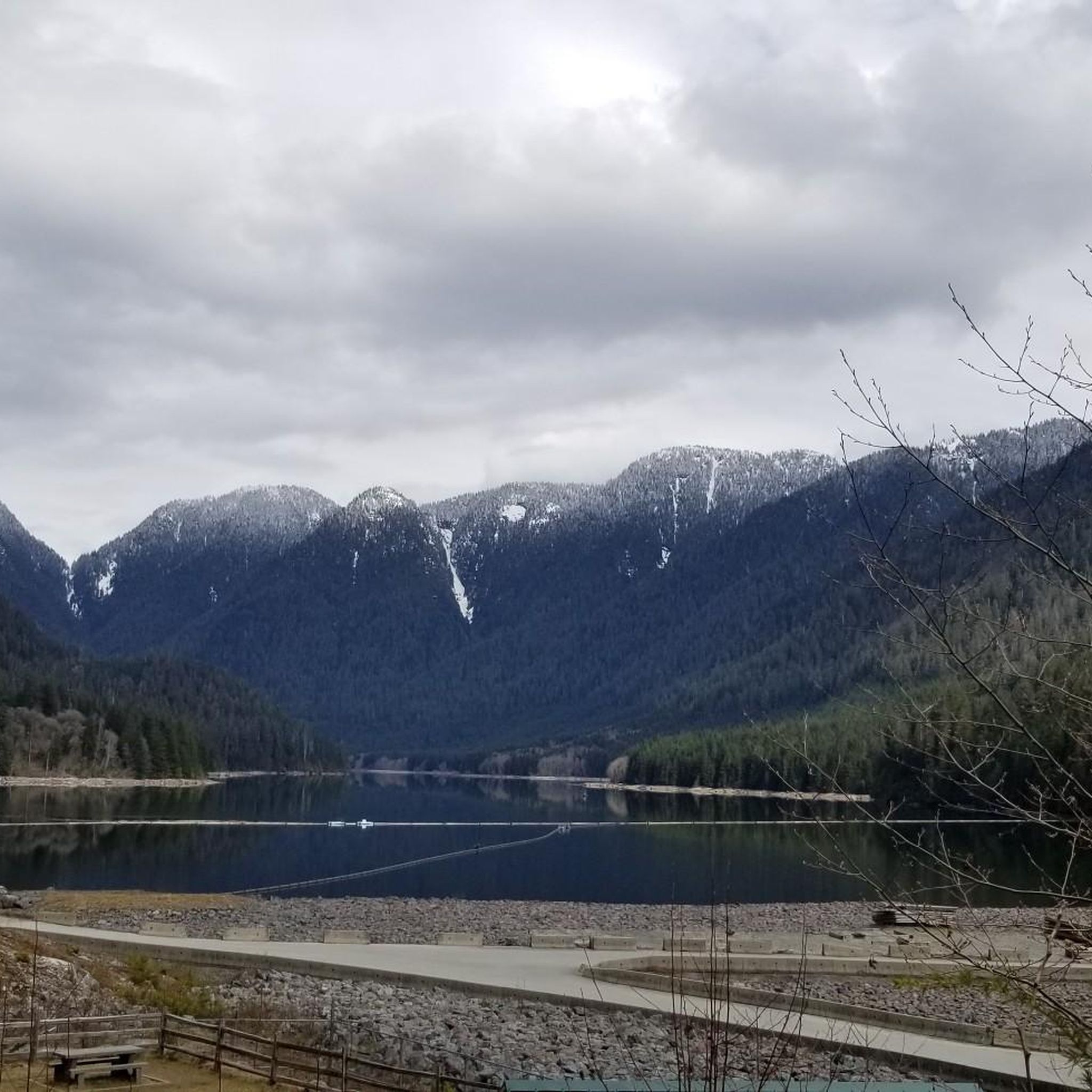
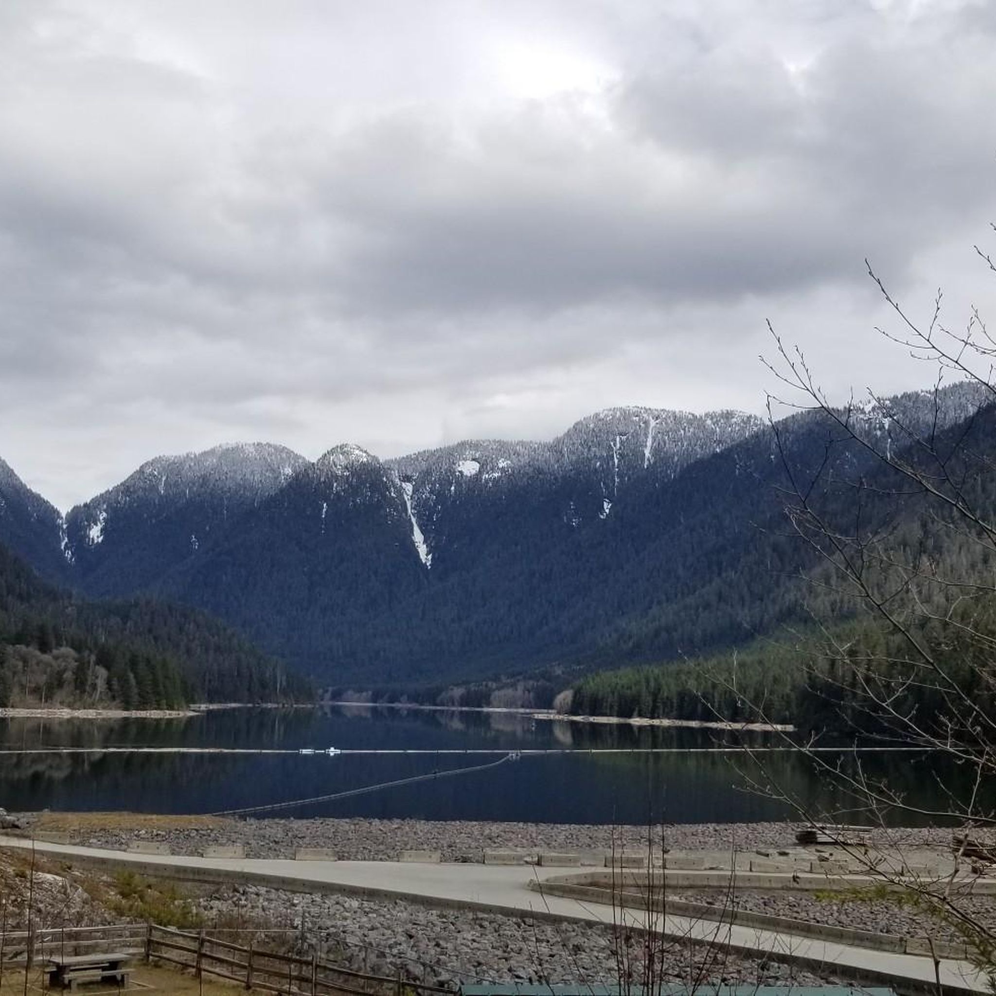
This viewpoint is an excellent place for expansive, unobstructed views across the wetland. It’s an easy walk from the main parking area and a reliable spot for birdwatching, especially in spring and summer. Visitors often see herons, ducks, and other wetland birds feeding or nesting in the open marsh. There are several picnic tables and restrooms nearby, making it a great spot for a scenic lunch before or after exploring the trails in this beautiful area.
0
0
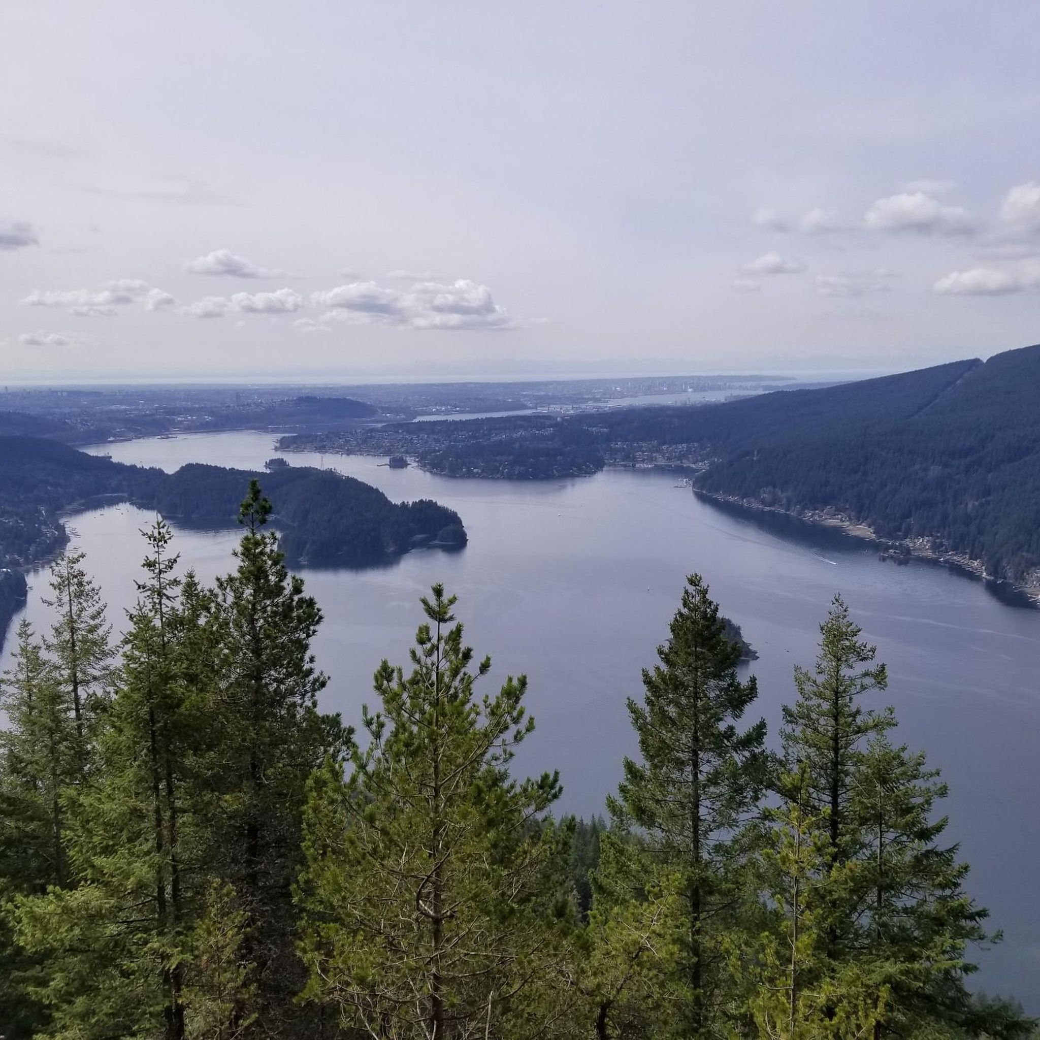
This beautiful river is a major tributary of the Fraser River that flows south from the Garibaldi Ranges, through Pitt Lake, before joining the Fraser River near Port Coquitlam. The lower stretches of the river are tidal, and the surrounding wetlands are home to a rich diversity of wildlife. The river also holds cultural significance for the Kwantlen First Nation, serving as a natural corridor that connects the coastal region with the interior of the province.
0
0
Frequently Asked Questions
How many running routes are available in Pinecone Burke Provincial Park?
There are over 90 running routes available in Pinecone Burke Provincial Park, offering a wide range of options for different fitness levels and preferences. These include 2 easy routes, 61 moderate routes, and 27 challenging trails.
Are there easy running routes suitable for beginners or families?
Yes, Pinecone Burke Provincial Park offers several easy running routes perfect for beginners or families. For instance, the Osprey Basin loop from Widgeon Marsh Regional Park is a moderate 6.6 km path with minimal elevation gain, making it a great choice for a relaxed run. Many trails utilize old logging roads, providing wider and potentially more runnable surfaces.
What are some popular loop running routes in the park?
Many runners enjoy the park's loop trails for their varied scenery. The Heron Habitat loop from Coquitlam is a popular 14.3 km moderate route. Another favorite is the Pitt River Viewpoint loop from Hyde Creek Nature Reserve, which is 10.9 km long and offers scenic views.
Are there any running trails with waterfalls in Pinecone Burke Provincial Park?
Yes, the park features scenic waterfalls that can be incorporated into your running adventures. Sawblade Falls is accessible via the Woodland Walk Trail, offering a beautiful natural landmark. Widgeon Falls can also be reached, often by canoe, providing a unique destination.
What kind of views or natural features can I expect on the running routes?
Running routes in Pinecone Burke Provincial Park offer diverse landscapes, from extensive old-growth forests and serene lakes to rugged alpine terrain. You can expect views of Pitt Lake, North America's largest freshwater tidal lake, and explore areas like Widgeon Slough, a significant freshwater marsh. Trails like the Coquitlam Lake View Trail provide spectacular views overlooking the Coquitlam Watershed.
Are there challenging running trails for experienced runners?
Absolutely. For experienced runners seeking a challenge, the park has 27 difficult routes. The Fern Trail – Lower Marsh Viewpoint loop from Minnekhada Regional Park is a difficult 5 km route with over 120 meters of elevation gain, providing a good workout.
What do other runners enjoy most about jogging in Pinecone Burke Provincial Park?
The running routes in Pinecone Burke Provincial Park are highly rated by the komoot community, with an average score of 4.3 stars from over 7 reviews. Runners often praise the varied terrain, from dense woodlands to scenic waterways, and the opportunity to experience wild natural landscapes within easy reach of the Lower Mainland.
Is public transport available to access running trails in Pinecone Burke Provincial Park?
While much of the park is wilderness, some access points are closer to urban areas. For specific public transport options to trailheads, it's best to consult local transit authorities or mapping services for routes connecting to areas like Coquitlam or Widgeon Marsh Regional Park, which are common starting points for runs.
Are there specific parking areas for runners in Pinecone Burke Provincial Park?
Yes, there are designated parking areas near popular trailheads. For example, routes starting from Hyde Creek Nature Reserve or Widgeon Marsh Regional Park typically have parking facilities. It's advisable to check specific trailhead information for parking availability before your run.
What is the best time of year to go running in Pinecone Burke Provincial Park?
The park offers running opportunities year-round, but conditions vary. Spring and fall provide pleasant temperatures and vibrant scenery. Summer is ideal for exploring higher elevations, while winter runs may require caution due to snow and ice, especially on less maintained trails. Always check local weather and trail conditions before heading out.
Are there any permits required for jogging on trails in Pinecone Burke Provincial Park?
Generally, no specific permits are required for day-use jogging on the established trails within Pinecone Burke Provincial Park. However, it's always a good practice to check the official BC Parks website for any updated regulations or advisories, especially for backcountry areas or specific activities.
Can I find running routes that pass through old-growth forests?
Yes, Pinecone Burke Provincial Park is known for its extensive old-growth forests. Many running routes will take you through these ancient woodlands, offering a serene and immersive experience amidst towering trees and diverse ecosystems.
Are there any cafes or facilities near the running trails?
Pinecone Burke Provincial Park is largely undeveloped wilderness. While there are no cafes directly within the park's trail network, you will find amenities and cafes in the nearby communities of Coquitlam and Port Coquitlam, which are common access points for the park.
Most popular routes in Pinecone Burke Provincial Park
Most popular attractions in Pinecone Burke Provincial Park

Get inspired with the komoot mobile app


Explore more
Browse the best Running Trails & Routes in other regions.
