The best road cycling routes in Pinecone Burke Provincial Park
4.6
(21)
740
riders
17
rides
Road cycling routes in Pinecone Burke Provincial Park primarily utilize the periphery and access roads, as the park's interior is rugged and largely unpaved. The region features a wild and remote landscape, with routes often originating from nearby communities like Lafarge Lake–Douglas, Lincoln, and Port Coquitlam. While many trails within the park are geared towards mountain biking or are unpaved logging roads, the surrounding areas offer mostly well-paved surfaces for road cyclists. Some routes may include moderate to difficult sections,…
Last updated: September 30, 2026
55
riders
67.2km
03:22
750m
750m
Moderate road ride. Good fitness required. Mostly well-paved surfaces and easy to ride.
5.0
(1)
36
riders
138km
06:38
1,550m
1,550m
Hard road ride. Very good fitness required. Some segments of this route may be unpaved and difficult to ride.

12
riders
44.2km
01:57
370m
370m
Moderate road ride. Good fitness required. Mostly well-paved surfaces and easy to ride.
5.0
(2)
76
riders
28.7km
01:43
570m
570m
Moderate road ride. Good fitness required. Some segments of this route may be unpaved and difficult to ride.
4.9
(8)
118
riders
Moderate road ride. Great for any fitness level. Some segments of this route may be unpaved and difficult to ride.
Get access to more routes and recommendations from other explorers.
Already have an account?
Our route recommendations are based on thousands of hikes, rides, and runs completed by other people on komoot.
Start today with a free account
Your next adventure awaits.

Tips from the Community

The first picture with the lighthouse is not Ambleside Park.
1
0

Also known as the Harry Jerome Sports Centre, you can play volleyball here and the indoor cycling track has an incredible banked wooden oval. If it's open, the velodrome is well worth a step inside to see the cycling track if nothing else.
0
0

The Springboard Trail is a wide, multi-use trail that traverses Belcarra Regional Park. It crosses paths with many other trails so you can take it as an out and back trail on its own, or combine it with another trail to make your own loop.
0
0

Ambleside Park is a stunning waterfront public space on the shores of Howe Sound across the water from downtown Vancouver. This path is open for walking, jogging, or biking along the park's wide seaside boardwalk, which connects to the Centennial Seawalk. Looking south, freighters and sailboats dot the waters under the Vancouver skyline. The beach is a mix of sand and pebbles, popular for sunbathing, beachcombing, and swimming. Even dogs can enjoy the park in the designated off-leash zone. The park also has golfing, baseball, and pickleball fields, plenty of activities for everyone.
1
0
On the east side of the bridge’s northern end, near the base of the bridge is a memorial to honor 27 workers who lost their lives on June 17, 1958, when a section of the original Second Narrows Bridge collapsed during construction.
0
0
The bike and foot path on the Ironworkers Memorial Bridge is part of the Spirit Trail and regional cycling network. It spans 1.3 km across Second Narrows, sitting 60 meters above the water. This well-maintained paved trail has awesome views of Downtown Vancouver, Mount Seymour, and the North Shore Mountains. It can get loud and often windy up there.
1
0

A nice monument to workers who lost their lives.
0
0

Frequently Asked Questions
How many road cycling routes are available in Pinecone Burke Provincial Park?
There are over 20 road cycling routes available in the Pinecone Burke Provincial Park area, catering to various skill levels. These routes primarily utilize the park's periphery and access roads, often originating from nearby communities.
What are the difficulty levels of road cycling routes in Pinecone Burke Provincial Park?
The routes range from easy to difficult. You'll find 3 easy routes, 15 moderate routes, and 2 difficult routes. Some routes may include unpaved segments, particularly on more challenging rides.
Are there any family-friendly road cycling routes in the area?
While the park's interior is rugged, many routes on the periphery and access roads are suitable for families. These often feature mostly well-paved surfaces and moderate distances. Look for routes originating from communities like Lafarge Lake–Douglas or Lincoln for accessible options.
What kind of landscapes and natural features can I expect to see while road cycling?
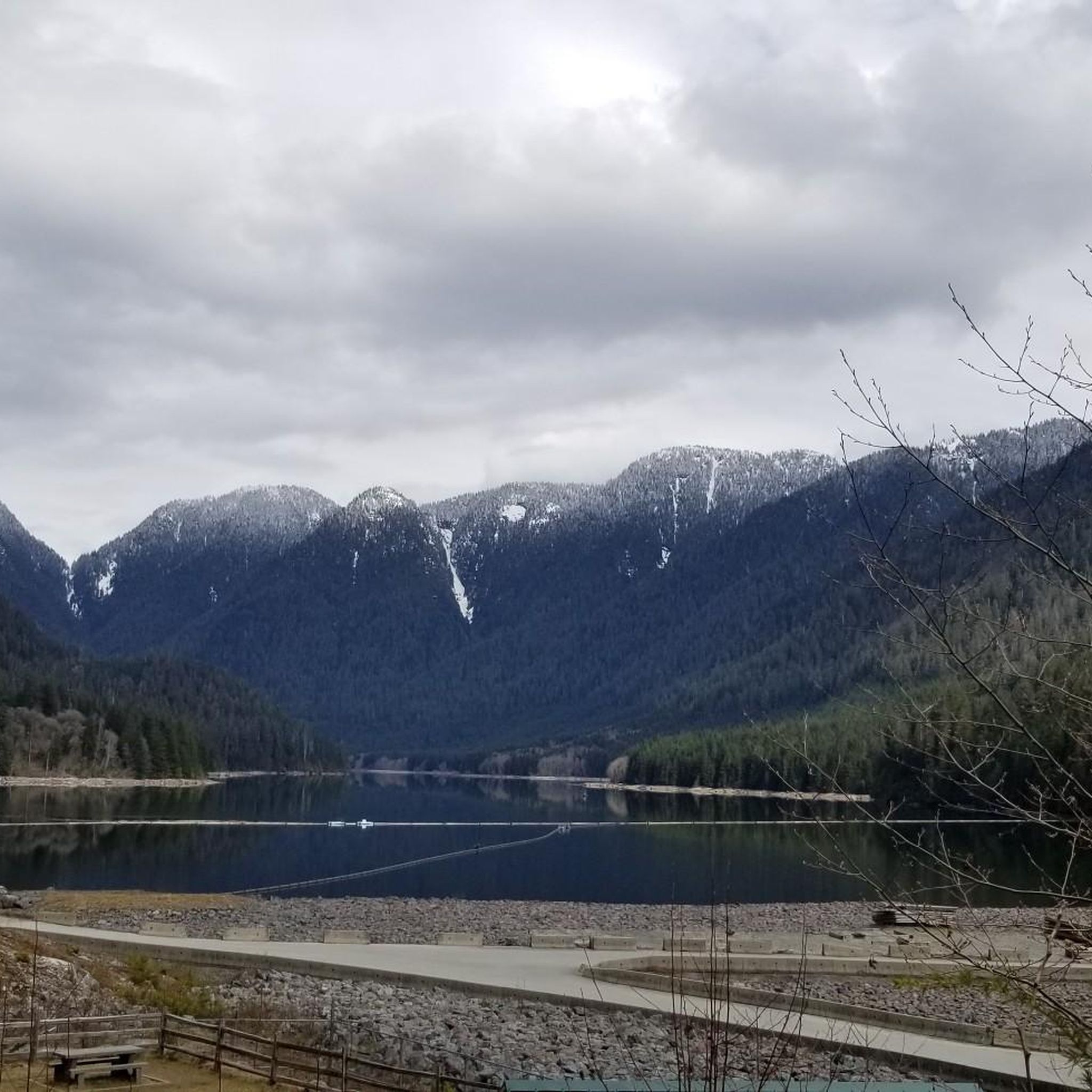
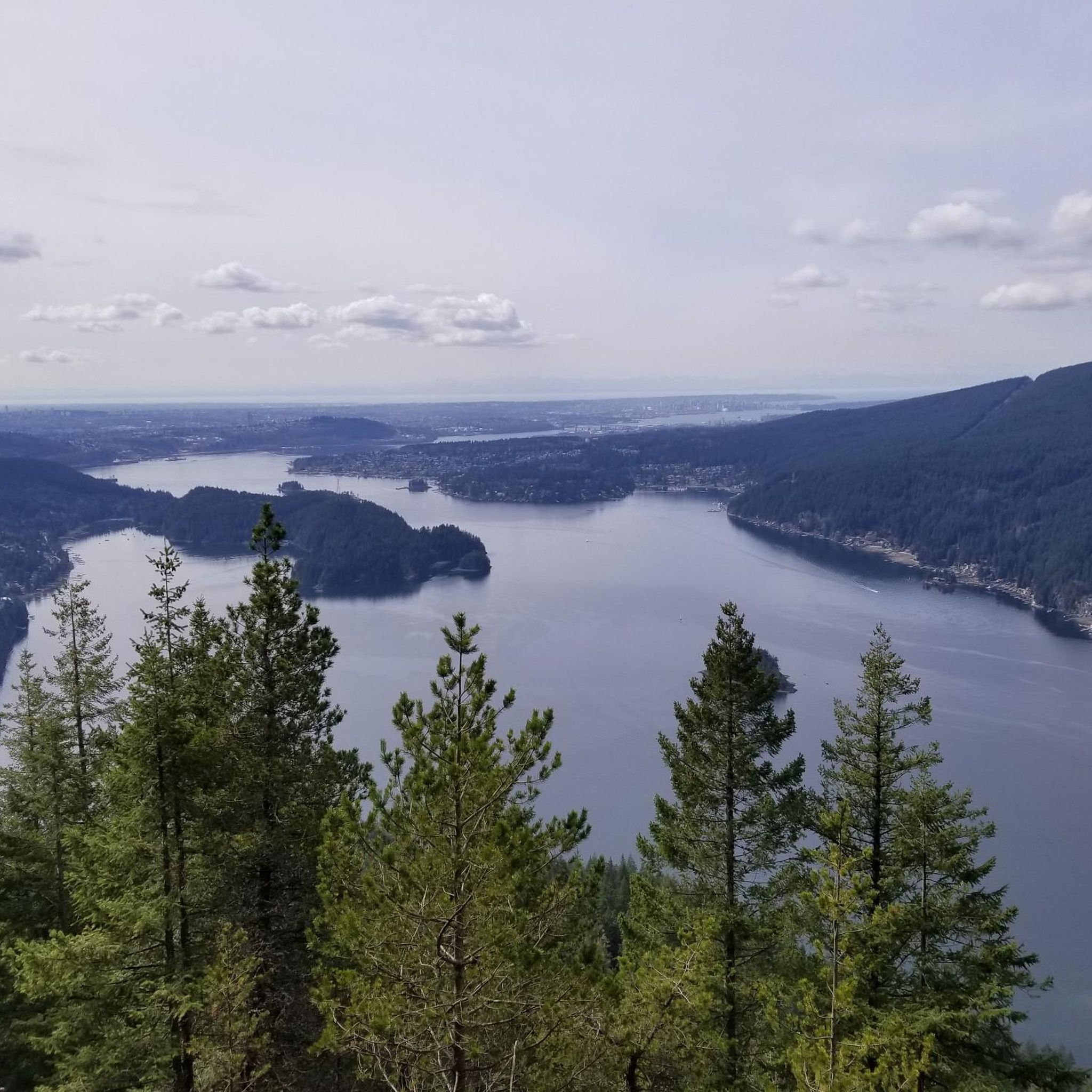
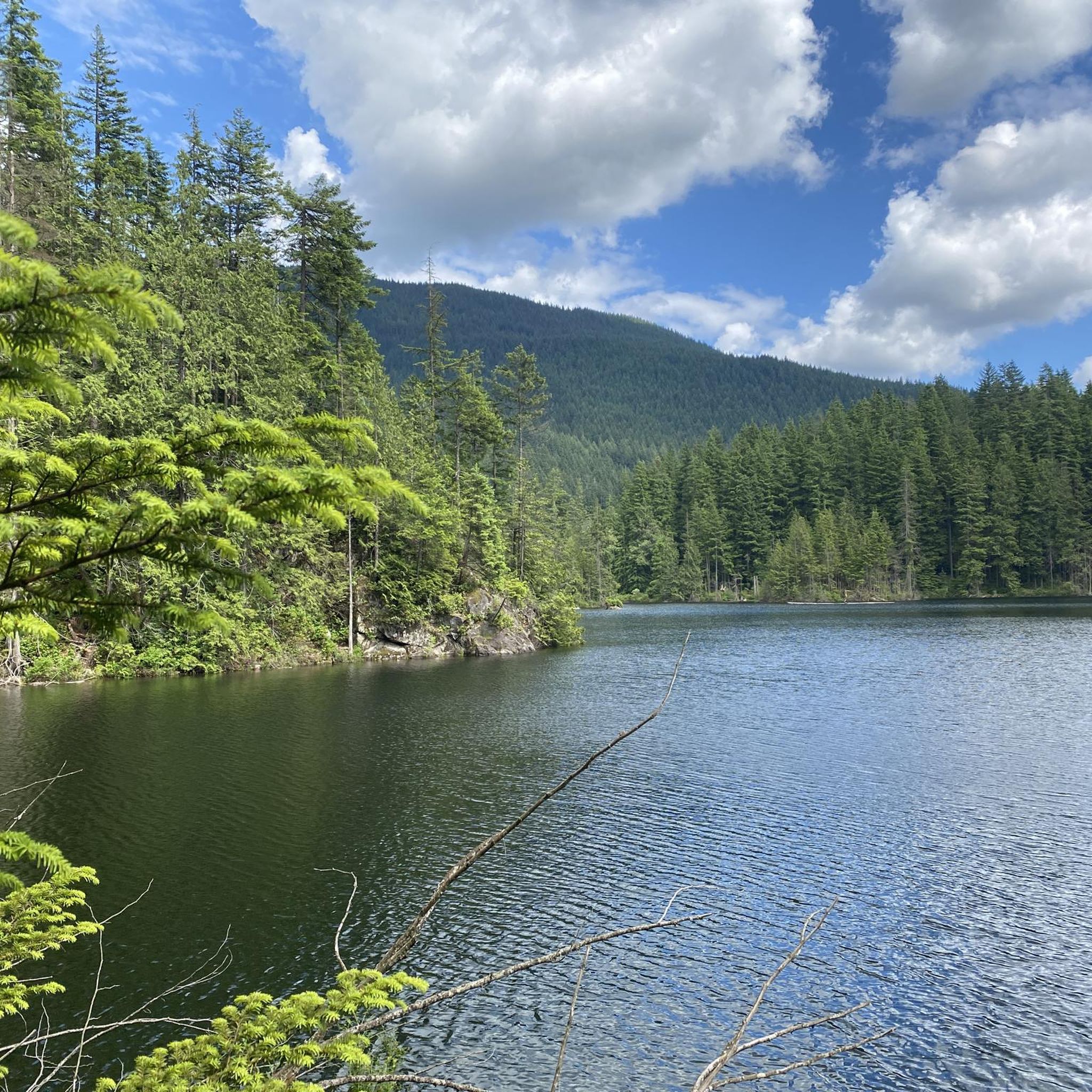
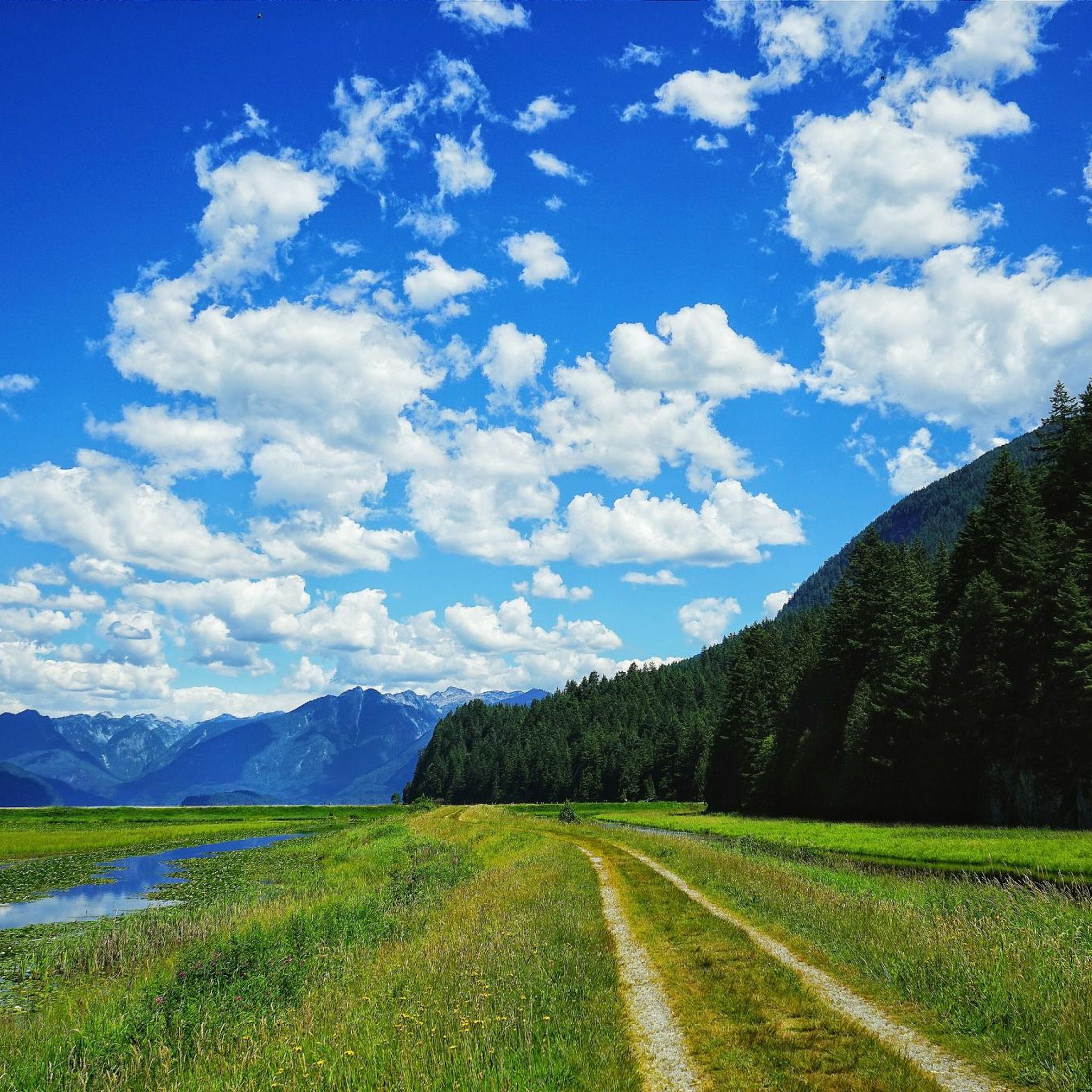
Road cycling routes offer views of a wild and remote landscape, including extensive old-growth forests and glimpses of Pitt Lake, North America's largest freshwater tidal lake. You'll also ride with the backdrop of Burke Mountain, a prominent feature of the park.
Are there road cycling routes that are entirely paved?
Many routes in the surrounding areas of Pinecone Burke Provincial Park feature mostly well-paved surfaces. However, some moderate or difficult routes may include unpaved sections, especially as they approach the park's more rugged interior. It's advisable to check route details for surface information.
Can I find loop road cycling routes in the area?
Yes, many road cycling routes in the Pinecone Burke Provincial Park area are designed as loops. For example, the Roadbike loop from Lafarge Lake–Douglas is a popular moderate option, and the Roadbike loop from Lincoln also offers varied terrain.
Where can I park when road cycling near Pinecone Burke Provincial Park?
Parking is generally available in the communities where many routes originate, such as Lafarge Lake–Douglas, Lincoln, Port Coquitlam, and Coquitlam Central. These urban hubs provide convenient starting points for exploring the peripheral road cycling routes.
Is public transport available to reach road cycling trailheads?
Yes, several road cycling routes start from areas well-served by public transport. For instance, routes originating from Lafarge Lake–Douglas and Coquitlam Central are accessible via public transit, making it convenient to reach the starting points without a car.
What is the best time of year for road cycling in Pinecone Burke Provincial Park?
The warmer months, typically spring through fall, offer the best conditions for road cycling, with more predictable weather and clear roads. While winter cycling is possible, be prepared for colder temperatures and potentially wet or icy conditions, especially on less maintained sections.
What do other road cyclists say about the routes in Pinecone Burke Provincial Park?
The area is highly rated by the komoot community, with an average score of 4.9 stars from over 10 reviews. Cyclists often praise the diverse terrain, from moderate loops to more challenging rides, and the scenic views of old-growth forests and lakes.
Are there options for advanced road cyclists seeking a challenge?
Absolutely. For experienced riders, routes like the Lions Gate Bridge – Seymour Demonstration Forest loop from Lafarge Lake–Douglas offer a significant challenge. This difficult 85-mile path includes substantial elevation gain and diverse scenery, perfect for those looking for a demanding ride.
What wildlife might I encounter while cycling?
Pinecone Burke Provincial Park is home to diverse wildlife. While cycling, you might spot black-tailed deer and various bird species. The park also hosts larger animals like black bears and even grizzly bears, so it's always wise to be aware of your surroundings and practice wildlife safety.
Are there any specific attractions or points of interest along the routes?
While the park's interior is rugged, the peripheral routes offer views of significant natural features. You'll encounter the vast Pitt Lake and pass by areas with extensive old-growth forests. For more information on the park's unique features, you can visit Spaces for Nature.
Most popular routes in Pinecone Burke Provincial Park
Most popular attractions in Pinecone Burke Provincial Park

Get inspired with the komoot mobile app


Explore more
Browse the best Road cycling routes in other regions.
