The best walks and hikes in Pinecone Burke Provincial Park
4.6
(118)
2,622
hikers
75
hikes
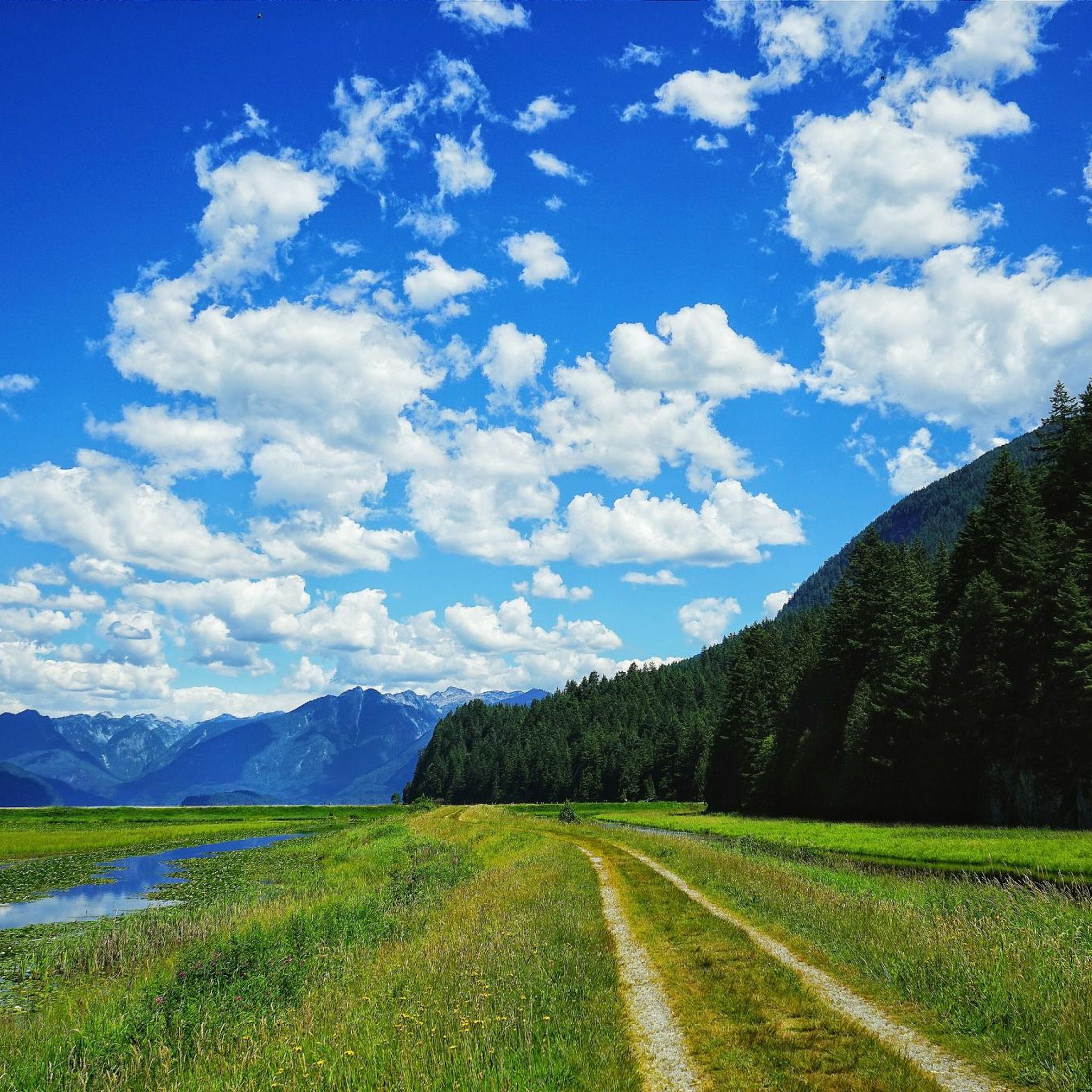
Hiking trails in Pinecone Burke Provincial Park traverse a landscape characterized by extensive old-growth forests, significant freshwater bodies, and mountainous terrain. The park encompasses the western shore of Pitt Lake, North America's largest freshwater tidal lake, and features the Widgeon Slough, a large freshwater marsh. Towering mountains, including Pinecone Peak at 2027 meters, and rough peaks define the park's diverse geography. This varied terrain supports a wide range of ecosystems from valley bottom to mountaintop.
Best hiking trails in Pinecone Burke Provincial Park
- The most popular hiking route is Widgeon Falls loop — Pinecone Burke Provincial Park, a 3.7 miles (6.0 km) trail that takes 1 hour 44 minutes to complete. This moderate loop leads to the scenic Widgeon Falls.
- Another top favourite among local hikers is Widgeon Lake Trail — Pinecone Burke Provincial Park, a difficult 11.6 miles (18.7 km) path. This rugged backcountry route leads to the picturesque Widgeon Lake.
- Local hikers also love the Saw Blade Falls loop from Caretaker's Residence, a 7.6 miles (12.2 km) trail leading through second-growth forest, often completed in about 4 hours 15 minutes.
- Hiking in Pinecone Burke Provincial Park is defined by old-growth forests, mountainous terrain, and freshwater lakes and rivers. The network offers options for different ability levels, from moderate paths to challenging backcountry routes.
- The routes in Pinecone Burke Provincial Park are highly rated by the komoot community with an average score of 4.6 stars from over 90 reviews. More than 2,200 hikers have used komoot to explore Pinecone Burke Provincial Park's varied terrain.
Last updated: October 5, 2026
5.0
(2)
64
hikers
6.04km
01:44
100m
100m
Moderate hike. Great for any fitness level. Mostly accessible paths. Sure-footedness required.
3
hikers
18.7km
06:13
810m
810m
Hard hike. Very good fitness required. Easily-accessible paths. Suitable for all skill levels.

5.0
(3)
70
hikers
12.3km
04:21
640m
640m
Moderate hike. Good fitness required. Mostly accessible paths. Sure-footedness required.
5.0
(3)
57
hikers
11.0km
04:24
590m
590m
Moderate hike. Good fitness required. Mostly accessible paths. Sure-footedness required.
5.0
(1)
3
hikers
Hard hike. Very good fitness required. Sure-footedness, sturdy shoes and alpine experience required.
Get access to more routes and recommendations from other explorers.
Already have an account?
Our route recommendations are based on thousands of hikes, rides, and runs completed by other people on komoot.
Start today with a free account
Your next adventure awaits.

Tips from the Community

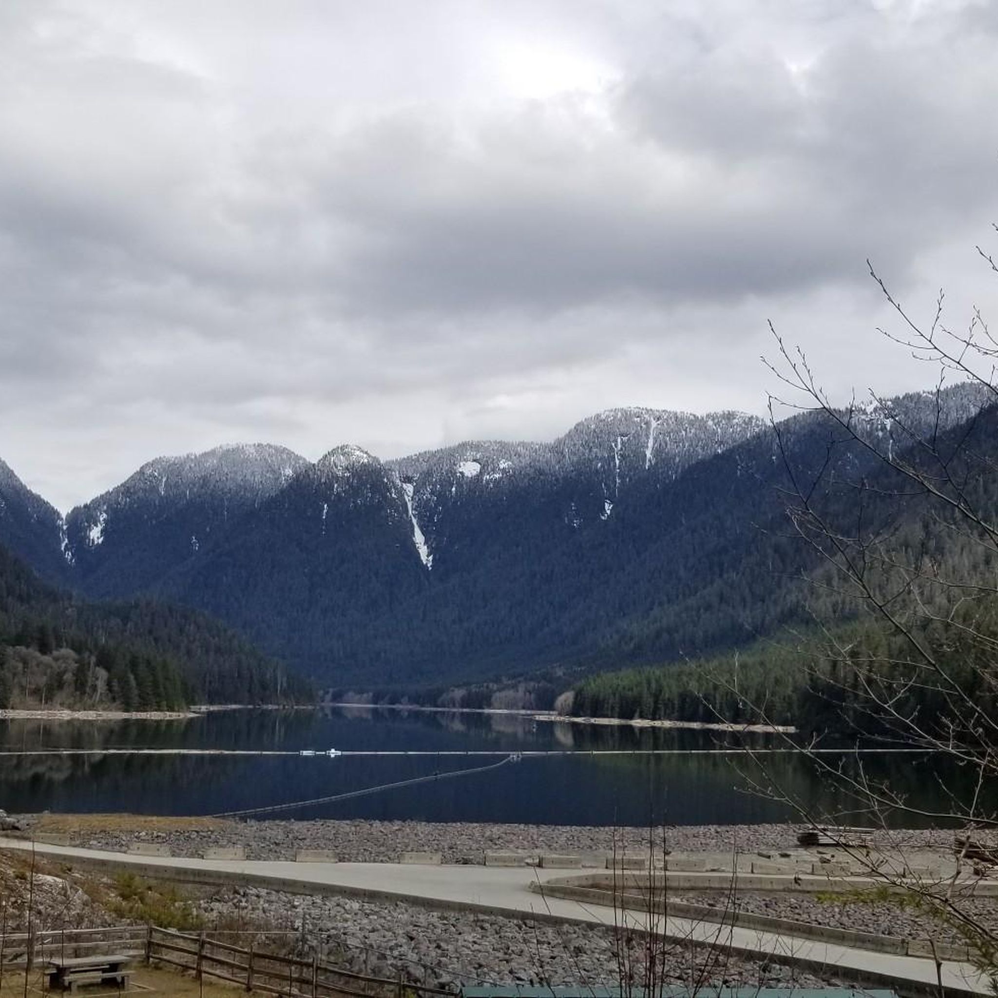
This is the old viewpoint of Coquitlam Lake, which is on the left side during the ascent. The new viewpoint can be reached opposite on the right side after a very steep climb. Unfortunately, the path up is barely visible despite blue markings.
0
0

Widgeon Lake Trail is a backcountry route in Pinecone Burke Provincial Park that links paddling and hiking. Hikers can expect a rugged, less-maintained trail with roots, mud, and uneven footing. It can get steep in places, but reaching the stunning Widgeon Lake is worth the strenuous climb. The trail also follows Widgeon Creek, with the opportunity to see large and small waterfalls along the way.
0
0
The southern shore of Widgeon Lake features a handful of designated backcountry camp sites managed by BC Parks. These sites sit right on the water’s edge or just a short walk from it. These campsites are primitive, with no electricity and no running water.
0
0
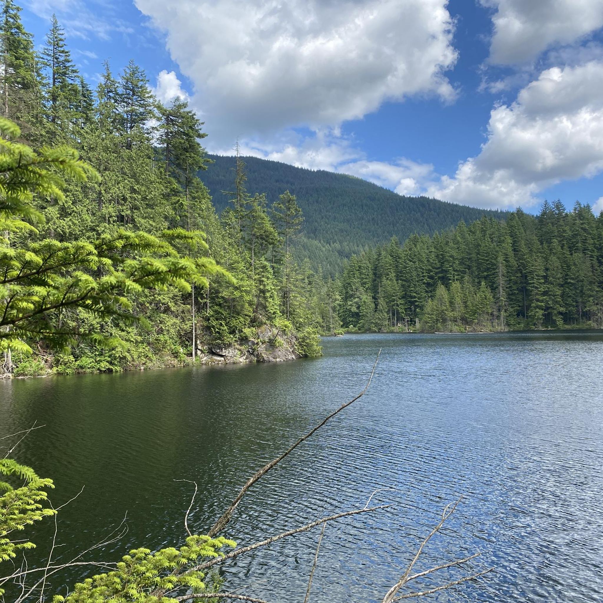
Get your first view of Widgeon Lake from a break in the trees while ascending Widgeon Lake Trail. Water levels can change dramatically with rainfall and snowmelt, so this lake may look different each visit.
0
0

The Widgeon Creek Campsite is a primitive, first-come, first-served campsite. The accommodations include an outhouse, picnic tables, several tent pads, and a beach.
0
0
Widgeon Falls is a series of small waterfalls created by Widgeon Creek. It's a great place to relax in the sunshine and a great spot in the summer for a swim when the water levels are lower.
0
0

A beautiful waterfall in the mountains of Coquitlam. From the bottom of David St. to the falls is about 8km and 600m of climbing. Seeing the falls in winter or summer is a great view.
1
0

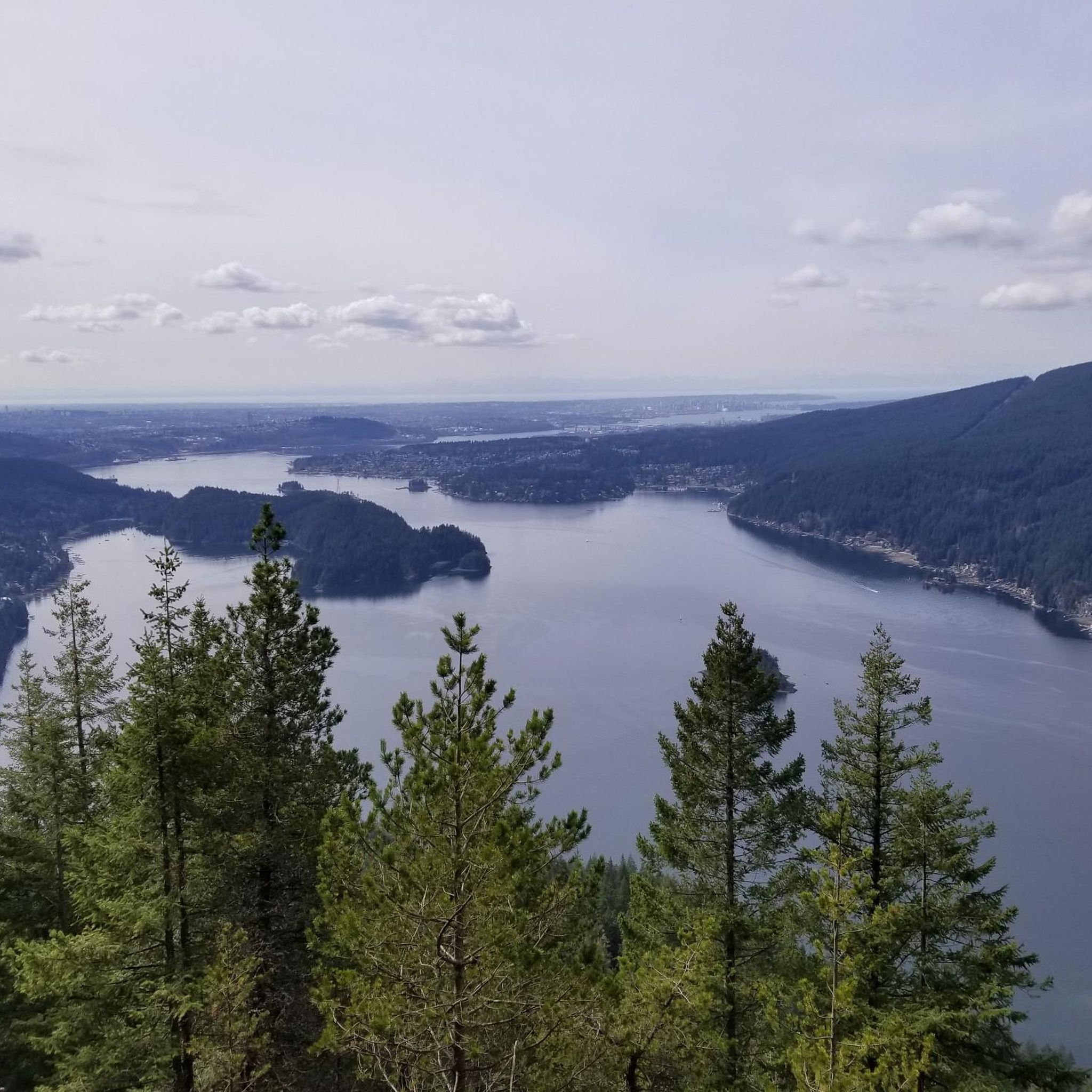
The last part of the Coquitlam Lake View Trail is pretty steep but It is so worth it to get to this Viewpoint.
0
0
Frequently Asked Questions
How many hiking trails are there in Pinecone Burke Provincial Park?
Pinecone Burke Provincial Park offers a wide selection of hiking opportunities, with over 70 routes available. These trails cater to various skill levels, from easy walks to challenging backcountry expeditions.
Are there easy hiking trails suitable for beginners or families?
Yes, the park features several easy trails perfect for beginners or families. For instance, the Widgeon Falls loop is a moderate 3.7-mile (6.0 km) trail that leads to the scenic Widgeon Falls, offering a rewarding experience without extreme difficulty. Approximately 21 of the park's routes are considered easy.
What kind of natural features or landmarks can I expect to see while hiking?
Hikers in Pinecone Burke Provincial Park will encounter diverse natural features. The park encompasses the western shore of Pitt Lake, North America's largest freshwater tidal lake, and the significant Widgeon Slough, a large freshwater marsh. You can also find towering mountains like Pinecone Peak (2027 meters) and Burke Mountain, along with numerous waterfalls such as Widgeon Falls, Sawblade Falls, and Hanging Creek Falls. The park's extensive old-growth forests and varied ecosystems provide stunning scenery.
Are dogs allowed on the trails in Pinecone Burke Provincial Park?
While the park is a provincial park, specific regulations regarding dogs can vary. Generally, dogs are permitted on trails but must be kept on a leash. It's always recommended to check the latest park regulations before your visit to ensure compliance and protect the park's wildlife.
Are there any circular hiking routes in the park?
Yes, Pinecone Burke Provincial Park offers several circular routes. A popular option is the Widgeon Falls loop, a moderate 3.7-mile (6.0 km) trail. Another well-liked choice is the Saw Blade Falls loop from Caretaker's Residence, which is a 7.6-mile (12.2 km) moderate trail through second-growth forest.
What is the best time of year to go hiking in Pinecone Burke Provincial Park?
The best time to hike in Pinecone Burke Provincial Park is generally from late spring through early fall (May to October) when trails are clear of snow and weather conditions are most favorable. Some higher elevation or backcountry routes may still have snow into early summer. Winter hiking is possible, but requires appropriate gear for snowshoeing or backcountry skiing, and conditions can be challenging.
What are the options for public transport to Pinecone Burke Provincial Park?
Public transport options directly to the trailheads within Pinecone Burke Provincial Park are limited. Access to many areas of the park, especially the more remote sections, often requires personal vehicle access or water-based transport (e.g., to Widgeon Slough or Pitt Lake access points). It's advisable to plan your journey with a car or consider carpooling for easier access.
Is parking available for hikers?
Parking is available at various access points to the park, such as near the Caretaker's Residence for trails like the Saw Blade Falls loop. However, specific parking availability can vary depending on the trailhead and time of year. It's recommended to arrive early, especially on weekends, as parking lots can fill up quickly.
Can I go camping in Pinecone Burke Provincial Park?
Yes, primitive wilderness camping is permitted in Pinecone Burke Provincial Park. There are designated backcountry and marine-accessible campsites available, including tent pads at Widgeon Creek Campground and marine campsites along Pitt Lake like Defrauder Falls, Osprey Creek, and Raven Creek. Always check for any required permits or reservations before planning your camping trip.
What other activities are available in Pinecone Burke Provincial Park besides hiking?
Beyond hiking, Pinecone Burke Provincial Park offers a range of activities. Water-based recreation like boating, canoeing, and kayaking is popular on Pitt Lake, Widgeon Slough, and Widgeon Creek. The park is also excellent for wildlife viewing, especially birdwatching at Widgeon Slough. Fishing, e-biking, backcountry cross-country skiing, and snowshoeing are also options depending on the season.
What do other hikers say about the trails in Pinecone Burke Provincial Park?
The routes in Pinecone Burke Provincial Park are highly rated by the komoot community, with an average score of 4.6 stars from over 90 reviews. More than 2,200 hikers have used komoot to explore the park's varied terrain, often praising the stunning natural beauty, diverse landscapes, and the rewarding experience of reaching features like Widgeon Falls or Widgeon Lake.
Are there any challenging backcountry routes for experienced hikers?
Yes, for experienced hikers seeking a challenge, Pinecone Burke Provincial Park offers rugged backcountry routes. The Widgeon Lake Trail is a difficult 11.6-mile (18.7 km) path that leads to the picturesque Widgeon Lake, requiring significant endurance and preparation. The park's mountainous terrain, including areas with glacial ice, provides ample opportunities for advanced exploration.
Are there any trails that feature waterfalls?
Absolutely! Pinecone Burke Provincial Park is home to several beautiful waterfalls. The Widgeon Falls loop is a popular trail leading directly to the scenic Widgeon Falls. You can also find Sawblade Falls via the Woodland Walk, and other notable cascades like Hanging Creek Falls and Pritchett Creek Cascades throughout the park.
Most popular routes in Pinecone Burke Provincial Park
Most popular attractions in Pinecone Burke Provincial Park

Get inspired with the komoot mobile app


Explore more
Browse the best Hikes in other regions.
