The best mountain hikes in Friðland Að Fjallabaki
5.0
(7)
87
hikers
6
hikes
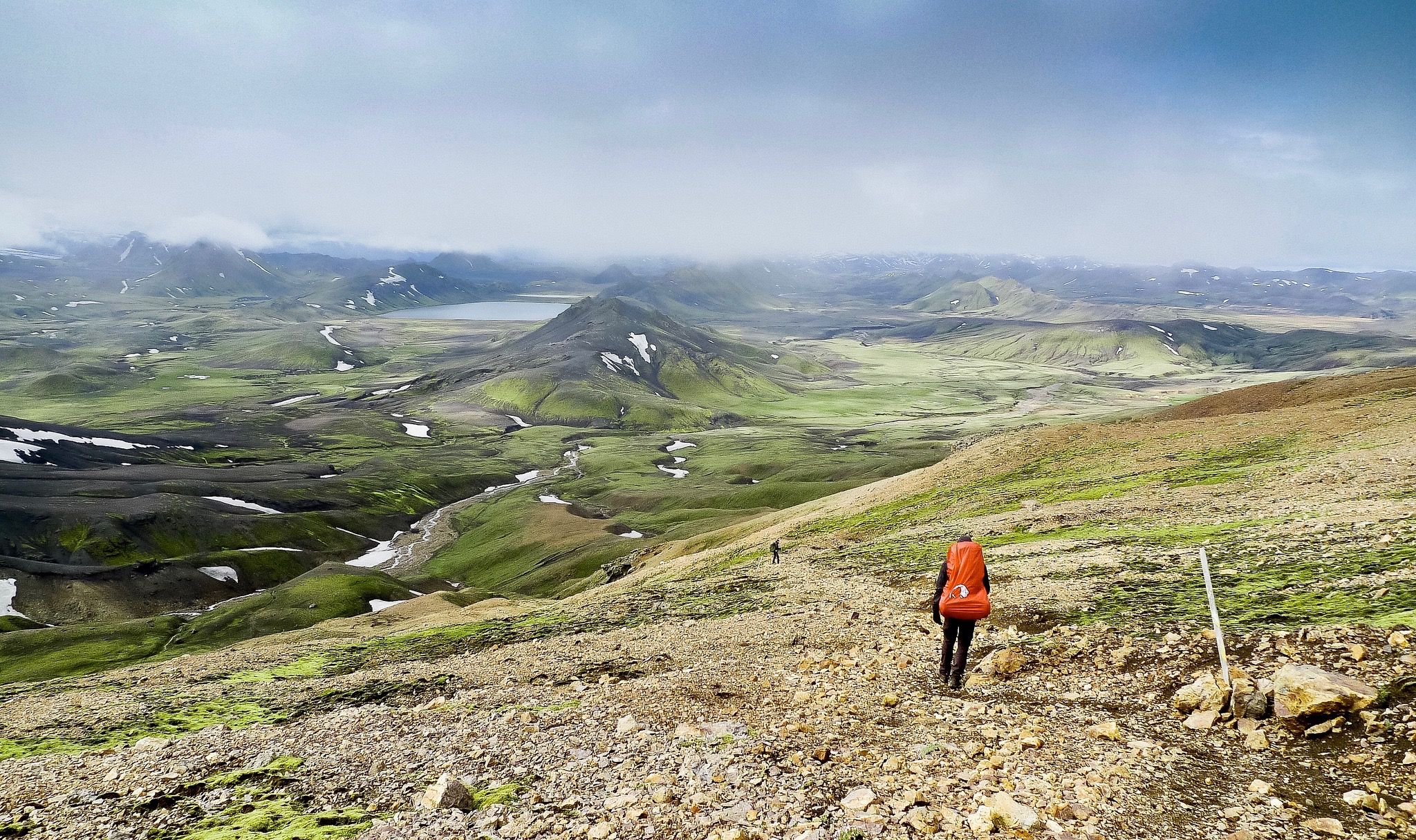
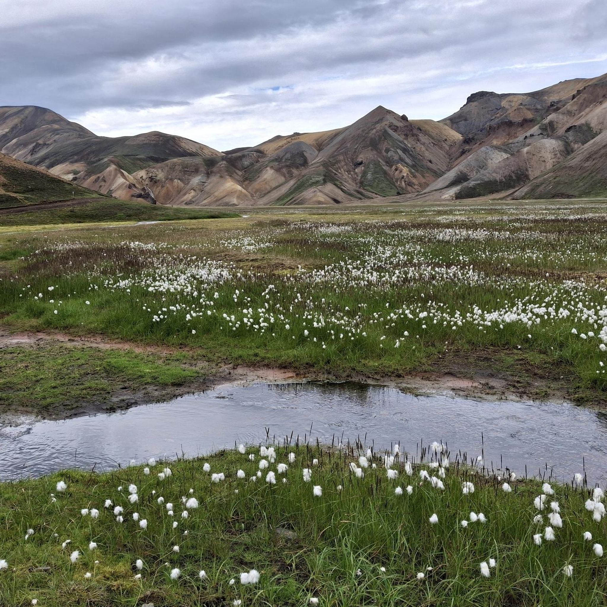
Mountaineering in Friðland Að Fjallabaki offers routes through a unique volcanic landscape in the Icelandic Highlands. The region is characterized by multicolored rhyolite mountains, extensive lava fields, and active geothermal areas. Deep valleys, black sands, and various craters contribute to the rugged terrain, with glacial views visible from higher elevations.
Best mountaineering routes in Friðland Að Fjallabaki
- The most popular mountaineering route is View of Landmannalaugar – Reykjadalur Hot Springs loop from Landmannalaugar, a 6.0 miles (9.7 km) trail…
Last updated: October 2, 2026
5.0
(2)
24
hikers
9.90km
04:12
460m
470m
Hard mountaineering route. Good fitness required. Sure-footedness, sturdy shoes and alpine experience required.
5.0
(3)
17
hikers
Hard mountaineering route. Good fitness required. Sure-footedness, sturdy shoes and alpine experience required.

5.0
(1)
16
hikers
6.35km
02:44
280m
280m
Hard mountaineering route. Good fitness required. Sure-footedness, sturdy shoes and alpine experience required.
17
hikers
6.94km
02:20
180m
180m
Hard mountaineering route. Good fitness required. Sure-footedness, sturdy shoes and alpine experience required.
5.0
(1)
8
hikers
7.43km
03:08
330m
330m
Hard mountaineering route. Good fitness required. Sure-footedness, sturdy shoes and alpine experience required.
Our route recommendations are based on thousands of hikes, rides, and runs completed by other people on komoot.
Start today with a free account
Your next adventure awaits.
Popular around Friðland Að Fjallabaki
Other adventures in Friðland Að Fjallabaki


Tips from the Community

The best-stocked shop on the route
0
0

great view
0
0

Both tributaries are very hot, but the water cools down considerably after a few meters. Very crowded! No changing rooms: you have to make do with the towel you brought with you.
0
0
In a large tent you can warm yourself up a bit and enjoy the snacks you brought with you.
1
2
Here you can find warm drinks and simple food.
0
0

Landmannalaugar is always worth a visit and from the top you have a great view of the entire valley.
0
0
Great glacier foothills and a great place to relax for a while (as long as the weather plays along).
0
0

When you climb up to Brennisteinsalda you have a great view of the Laugahraun lava field and the geothermal area. Even if you don't want to climb all the way up, you still have a great view here.
0
0
Frequently Asked Questions
How challenging are the mountaineering routes in Friðland Að Fjallabaki?
The mountaineering routes in Friðland Að Fjallabaki are generally considered difficult. For example, the View of Landmannalaugar – Reykjadalur Hot Springs loop from Landmannalaugar is a challenging 9.7 km route with significant elevation changes, taking over 4 hours to complete. The region's volcanic terrain, including lava fields and steep ascents, contributes to the demanding nature of the trails.
When is the best time of year to go mountaineering in Friðland Að Fjallabaki?
The best time for mountaineering in Friðland Að Fjallabaki is typically during the summer months. Access to the region is generally limited due to thick ice and snow in winter, making summer the most suitable period to explore its unique landscapes and trails.
What natural features and landmarks can I expect to see on these routes?
Friðland Að Fjallabaki is renowned for its otherworldly volcanic landscapes. You'll encounter multicolored rhyolite mountains, vast lava fields like Laugahraun, and active geothermal areas with hot springs. Notable landmarks include the Bláhnúkur Summit, offering panoramic views, and the Geothermal Area in Friðland að Fjallabaki. From higher elevations, you can also often see glaciers.
Are there any circular mountaineering routes available?
Yes, several circular routes are available for mountaineering. For instance, the Reykjadalur Hot Springs – View of Landmannalaugar loop from Landmannalaugar is a difficult 7.8 km circular path that explores geothermal areas. Another option is the Bláhnúkur Summit – Landmannalaugar Hiking Area loop from Landmannalaugar, a 6.2 km trail through volcanic ash and lava fields.
Are there any family-friendly mountaineering options in Friðland Að Fjallabaki?
The mountaineering routes listed in this guide are generally rated as difficult, making them more suitable for experienced hikers. However, the Landmannalaugar area, which serves as a base for many trails, offers a range of activities. While specific easy mountaineering routes aren't highlighted here, some shorter walks around the Landmannalaugar Campground might be more accessible for families, though they may not be classified as mountaineering.
Can I bring my dog on the mountaineering trails in Friðland Að Fjallabaki?
Regulations regarding dogs in Friðland Að Fjallabaki, a protected area, can be strict to preserve the fragile ecosystem. It is advisable to check the latest guidelines from the Icelandic Environment Agency or local park authorities before planning to bring a dog on the trails.
How can I reach Friðland Að Fjallabaki using public transport?
Access to Friðland Að Fjallabaki, particularly the Landmannalaugar area, is possible via specialized highland buses during the summer months. These buses typically operate from Reykjavík and other key locations, dropping off passengers at the Landmannalaugar Campground, which serves as a central hub for many trails.
Where can I find parking for the mountaineering trailheads?
The primary access point and trailhead for many mountaineering routes in Friðland Að Fjallabaki is Landmannalaugar. There is a designated parking area near the Landmannalaugar Campground, which serves as a starting point for tours like the Reykjadalur Hot Springs loop from Landmannalaugar.
Are there any facilities or accommodation options near the trails?
Yes, the Landmannalaugar Campground is a central hub in Friðland Að Fjallabaki, offering basic amenities and accommodation in the form of a mountain hut and camping facilities. It's a popular base for mountaineers and hikers exploring the surrounding trails.
What makes the landscape of Friðland Að Fjallabaki unique for mountaineering?
The landscape of Friðland Að Fjallabaki is exceptionally unique due to its vibrant multicolored rhyolite mountains, extensive black lava fields, and active geothermal areas. This combination, shaped by ancient glaciers and volcanic activity, creates an 'otherworldly' environment that offers a distinct and memorable mountaineering experience, often described as the 'Land of Fire and Ice'.
What do other mountaineers say about the routes in Friðland Að Fjallabaki?
The mountaineering routes in Friðland Að Fjallabaki are highly rated by the komoot community, with an average score of 5.0 stars from over 6 reviews. Mountaineers often praise the breathtaking and unique volcanic scenery, the challenge of the trails, and the opportunity to experience Iceland's raw natural beauty.
Are there any routes that offer views of both geothermal areas and colorful mountains?
Absolutely. The Bláhnúkur Summit – Landmannalaugar Campground loop from Landmannalaugar is an excellent choice. From the summit of Bláhnúkur, you can enjoy expansive views of the vibrant rhyolite mountains and the vast Laugahraun lava field, often with steam rising from the geothermal areas in the distance.
Are there options for multi-day mountaineering treks?
Yes, Friðland Að Fjallabaki is home to the renowned Laugavegur Trail, a 55 km (34 mi) route connecting Landmannalaugar to Þórsmörk. While not one of the specific routes detailed in this guide, it's a famous multi-day trek that showcases the region's diverse landscapes, including painted mountains, obsidian lava fields, and hot springs, typically completed in four stages.
Most popular routes in Friðland Að Fjallabaki
Most popular attractions in Friðland Að Fjallabaki

Get inspired with the komoot mobile app


Explore more
Browse the best Mountain Hikes & Routes in other regions.
