Aztaparretako Erreserba Integrala/Reserva Integral De Aztaparreta
Aztaparretako Erreserba Integrala/Reserva Integral De Aztaparreta
The best road cycling routes in Aztaparretako Erreserba Integrala/Reserva Integral De Aztaparreta
4.8
(18)
854
riders
10
rides
Road cycling routes in Aztaparretako Erreserba Integrala/Reserva Integral De Aztaparreta are situated within the Pyrenees, characterized by mountainous terrain, deep valleys, and dense forests. The region features significant elevation changes, including challenging mountain passes and winding roads. Road cyclists encounter a landscape shaped by high peaks and natural reserves, offering varied gradients. This area provides routes that navigate through both open mountain vistas and sheltered woodland sections.
Best road cycling routes in Aztaparretako Erreserba Integrala/Reserva Integral De Aztaparreta
- The most…
Last updated: July 4, 2026
11
riders
Moderate road ride. Good fitness required. Mostly well-paved surfaces and easy to ride.
10
riders
Moderate road ride. Good fitness required. Mostly well-paved surfaces and easy to ride.

Sign up for free
188
riders
116km
06:03
1,910m
1,910m
Hard road ride. Very good fitness required. Mostly well-paved surfaces and easy to ride.
5.0
(1)
40
riders
34.3km
02:09
570m
570m
Moderate road ride. Good fitness required. Mostly well-paved surfaces and easy to ride.
28
riders
63.3km
03:49
1,250m
1,250m
Hard road ride. Very good fitness required. Mostly well-paved surfaces and easy to ride.
Get access to more routes and recommendations from other explorers.
Sign up for free
Already have an account?
Our route recommendations are based on thousands of hikes, rides, and runs completed by other people on komoot.
Start today with a free account
Your next adventure awaits.
Login or Signup
Popular around Aztaparretako Erreserba Integrala/Reserva Integral De Aztaparreta
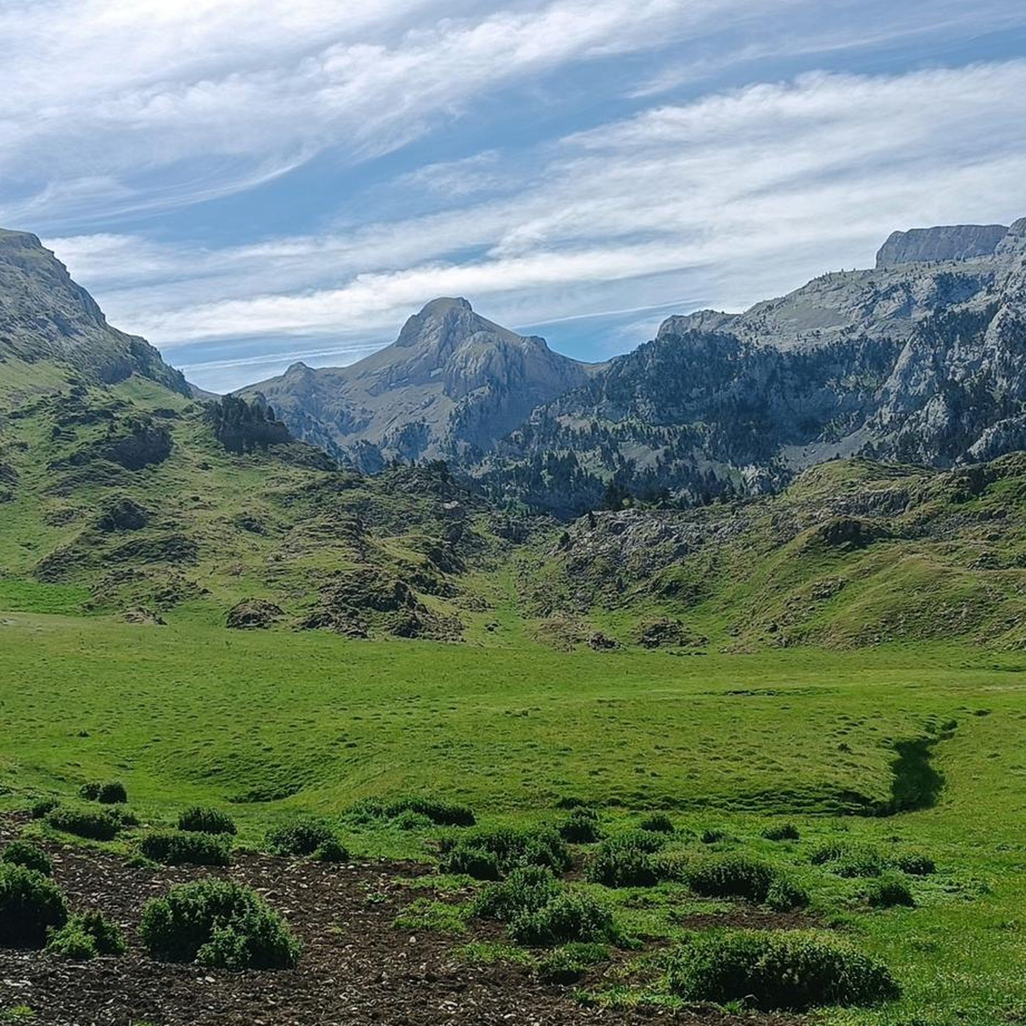
Hiking in Aztaparretako Erreserba Integrala/Reserva Integral De Aztaparreta
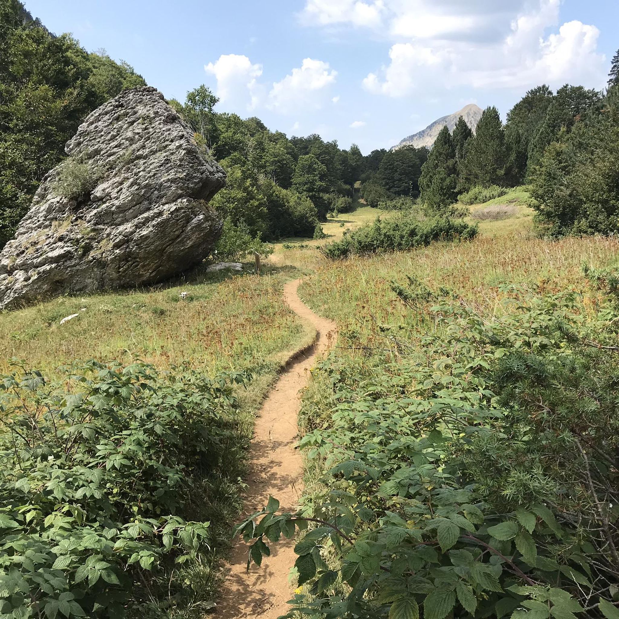
Running Trails in Aztaparretako Erreserba Integrala/Reserva Integral De Aztaparreta
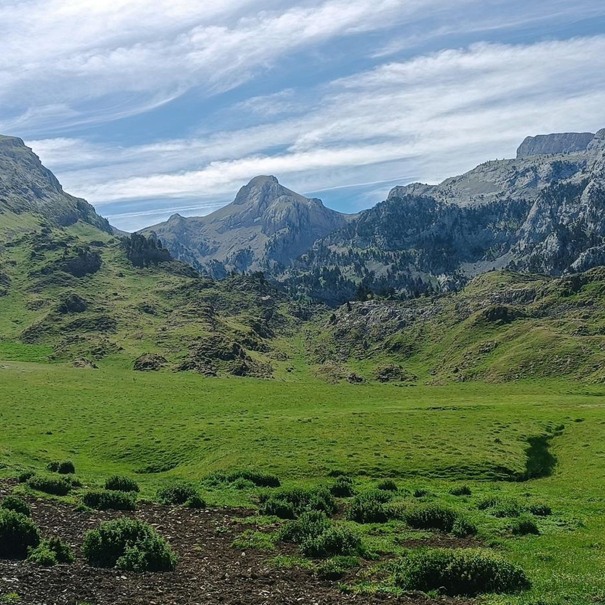
Cycling in Aztaparretako Erreserba Integrala/Reserva Integral De Aztaparreta

Mountain Hikes in Aztaparretako Erreserba Integrala/Reserva Integral De Aztaparreta
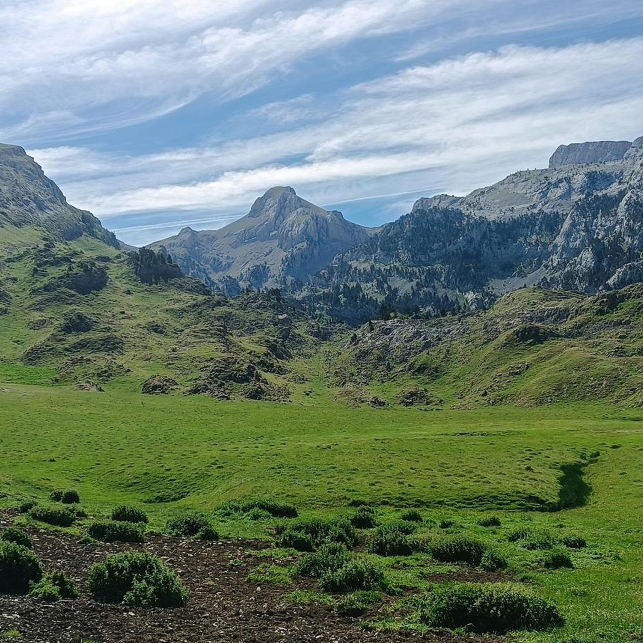
MTB Trails in Aztaparretako Erreserba Integrala/Reserva Integral De Aztaparreta
Tips from the Community

The Belagua refuge is a symbol of mountaineering in Navarre, its location makes it the ideal starting point for any adventure. It is open all year round and has 54 beds. It also offers food service and a bar.
2
1

Without a doubt, the Col de la Piedra de Saint Martin or Pierre Saint-Martin is one of the Top 10 in the whole of the Pyrenees. Without exceeding 2000 metres of altitude, it is a very long pass, with a lot of accumulated gradient (due to the innumerable French slopes, the gradient is 1,450 metres), with very hard slopes and several kilometres above 10%, with wonderful landscapes and panoramic views and with little traffic, except for the slopes crossed by the main road (D132 in France, the NA 137 in Spain). It is a pass with many slopes; in Europe there are few other passes that have as many slopes as this one (col de Turini, Passo delle Erbe, would be comparable in number of slopes approximately). I have only climbed it by 2 slopes: (i) my first time was from Lourdios Ichère, crossing the col de Labays and the col de Soudet. Simply spectacular; (ii) I have subsequently climbed the Spanish side on several occasions, which is unique, and which starts from Belagua and crosses the Belagua cross-country ski resort to reach the mountain pass. It is also very beautiful, with a landscape and views different from the north-east side. If I had to choose one of the two, I liked the north-west side better because it is more remote, harder and in my opinion more authentic. It is also a culturally special mountain pass because the Tribute of the 3 cows takes place on its summit every 13th of July, which is considered the oldest treaty in force in Europe. So... you know... you cannot miss the opportunity to come here and enjoy this wonderful jewel of the Pyrenees!!!!
1
0
It is a beautiful mountain pass that links the Roncal Valley (Navarra) with the Ansó Valley (Aragon). It is a mountain pass that I am very fond of for several reasons: (i) the road is very winding, with many curves and hairpin bends, especially on the Navarre side (ii) it is a mountain pass with no steep slopes on either side (iii) there is hardly any car or motorcycle traffic. It is very peaceful and you can fully concentrate on the climb, on your pace, on your sensations. The asphalt on the Aragonese side is in very poor condition, although that also makes it attractive because you can imagine what the roads were like that professionals used in the 90s and before. It can be linked to other ports and is a beautiful gateway to the Pyrenees.
0
0
The entrance to the gorge that leads to the spectacular Oza Forest is the famous Hell's Mouth. From the road, where it is perfectly signposted, there are views of it. However, I recommend following the signs and entering on foot through the vegetation to have a better view of the Hell's Mouth.
0
0
A beautiful valley with spectacular views, which can be accessed without difficulty (either from Ansó or from the Roncal valley), where you can breathe peace and tranquility and where you can enjoy a nice swim in the river on the hottest days of the year.
0
0

There is a drinking water point after the bridge.
0
0
Going up to the Puerto de la Piedra de San Martín through the Roncal - Belagua valley, after the first 5 km of hard climb with a section of continuous hairpin bends, you reach the abandoned Guardia Civil barracks. This place is ideal for the views it offers: on the one hand, you can see the Roncal valley from above in a panoramic view (simply spectacular); on the other hand, looking up towards the valley, you can see (if the weather permits) the peaks around the beautiful ski resort of Larra - Belagua, which should not be confused with the Piedra de San Martín ski resort, located in France.
0
0
At the bottom of the Roncal valley, right where the climb to Puerto de la Piedra de San Martín begins, you will find this beautiful bend in the mountain called Belagua. It is an idyllic place that you can best enjoy if you climb up following the road to Venta de Juan Pito.
0
0
Frequently Asked Questions
What kind of terrain can I expect on road cycling routes in Aztaparretako Erreserba Integrala/Reserva Integral De Aztaparreta?
The region is characterized by mountainous terrain within the Pyrenees, featuring significant elevation changes, deep valleys, and dense forests. You will encounter challenging mountain passes and winding roads, offering both open mountain vistas and sheltered woodland sections.
Are there any easy road cycling routes for beginners in Aztaparretako Erreserba Integrala/Reserva Integral De Aztaparreta?
The road cycling routes in Aztaparretako Erreserba Integrala/Reserva Integral De Aztaparreta are generally geared towards moderate to difficult ability levels due to the mountainous terrain. There are no routes classified as 'easy' in this guide, but some moderate options exist for those with some experience.
Which routes are suitable for experienced road cyclists looking for a challenge?
Experienced road cyclists will find several challenging routes. The Pierre Saint-Martin Pass – Soudet Pass loop from Bitxitoza is a difficult 84.8 km route with significant climbs. Another demanding option is the Ochagavía – Collado de Argibiela loop from Aparcamiento de Tacheras, spanning 115.8 km.
What is the best time of year for road cycling in Aztaparretako Erreserba Integrala/Reserva Integral De Aztaparreta?
Given its location in the Pyrenees, the best time for road cycling is typically from late spring to early autumn (May to October). During these months, the weather is generally more stable, and mountain passes are clear of snow. Always check local weather forecasts before heading out, especially for higher elevations.
Are there any moderate road cycling routes in the region?
Yes, there are several moderate routes. The Venta de Juan Pito – View of the Belagua Valley loop from Belaguako aterpea is a moderate 19.7 km path offering scenic views. Another moderate option is the Pierre Saint-Martin Pass – Pierre Saint-Martin Pass loop from GR 12 Euskal Herriko ur-mugaren ibilaldia, which is 17.8 km long.
What kind of views can I expect along the road cycling routes?
The routes offer diverse and spectacular views. You can expect panoramic mountain vistas from high passes, scenic views of deep valleys like the Belagua Valley, and sections through dense, sheltered woodlands. The Pyrenean landscape provides a dramatic backdrop for your rides.
Are there any loop road cycling routes available?
Many of the routes in Aztaparretako Erreserba Integrala/Reserva Integral De Aztaparreta are loops, allowing you to start and finish in the same location. Examples include the Pierre Saint-Martin Pass – Soudet Pass loop from Bitxitoza and the Venta de Juan Pito – View of the Belagua Valley loop from Belaguako aterpea.
How long do the road cycling routes typically take to complete?
Route durations vary significantly based on distance and elevation. For instance, the moderate Venta de Juan Pito – View of the Belagua Valley loop from Belaguako aterpea takes approximately 1 hour 16 minutes, while the challenging Pierre Saint-Martin Pass – Soudet Pass loop from Bitxitoza can take around 5 hours 43 minutes.
What do other road cyclists enjoy most about road cycling in Aztaparretako Erreserba Integrala/Reserva Integral De Aztaparreta?
The area is highly rated by the komoot community, with an average score of 4.8 stars. Reviewers often praise the challenging mountain passes, the stunning panoramic views, and the varied terrain that makes for an engaging road cycling experience.
Where can I find parking for road cycling routes in Aztaparretako Erreserba Integrala/Reserva Integral De Aztaparreta?
While specific parking details for every trailhead are not always available, many routes, especially longer loops, often start from or pass through villages or designated parking areas near popular passes. For example, the Ochagavía – Collado de Argibiela loop starts from Aparcamiento de Tacheras, indicating a parking facility there. It's advisable to check the route details on komoot for specific starting points and potential parking information.
Are there any cafes or places to refuel along the road cycling routes?
Given the mountainous and sometimes remote nature of the region, amenities like cafes might be sparse on certain sections of the routes. However, routes often pass through or near small villages where you might find local establishments. It's recommended to carry sufficient water and snacks, especially for longer rides, and to check the map for potential stops before you set off.
What is the elevation gain like on these road cycling routes?
The routes in Aztaparretako Erreserba Integrala/Reserva Integral De Aztaparreta feature significant elevation gains due to the mountainous Pyrenean terrain. For example, the Pierre Saint-Martin Pass – Soudet Pass loop from Bitxitoza involves over 2,800 meters of ascent, while the View of the Peaks of Zuriza – Ansó loop from Aparcamiento de Tacheras has an elevation gain of over 550 meters.
Most popular routes in Aztaparretako Erreserba Integrala/Reserva Integral De Aztaparreta

Get inspired with the komoot mobile app


Explore more
Browse the best Road cycling routes in other regions.
