The best walks and hikes in Aztaparretako Erreserba Integrala/Reserva Integral De Aztaparreta
4.5
(403)
4,050
hikers
87
hikes
Hiking in Aztaparretako Erreserba Integrala/Reserva Integral De Aztaparreta offers access to one of the best-preserved ancient beech-fir forests in the Pyrenees. This region is characterized by dense woodlands, including towering beeches and firs, situated on the northern slope of Pico Maz or Txamantxoia mountain. The landscape also features extensive karstic zones with dramatic limestone formations, particularly within the larger Larra-Aztaparreta protected area. Trails navigate through the Rincón de Belagua, providing varied terrain from forest paths to mountain ascents.
Best hiking…
Last updated: July 9, 2026
4.4
(26)
451
hikers
16.5km
07:52
1,190m
1,190m
Hard hike. Very good fitness required. Mostly accessible paths. Sure-footedness required.
5.0
(1)
21
hikers
12.6km
05:17
770m
770m
Hard hike. Very good fitness required. Mostly accessible paths. Sure-footedness required.

Sign up for free
4.6
(11)
123
hikers
7.41km
02:17
260m
260m
Moderate hike. Good fitness required. Easily-accessible paths. Suitable for all skill levels.
4.8
(9)
99
hikers
Hard hike. Very good fitness required. Sure-footedness, sturdy shoes and alpine experience required.
4.9
(9)
96
hikers
12.6km
05:45
970m
970m
Hard hike. Very good fitness required. Mostly accessible paths. Sure-footedness required.
Get access to more routes and recommendations from other explorers.
Sign up for free
Already have an account?
Our route recommendations are based on thousands of hikes, rides, and runs completed by other people on komoot.
Start today with a free account
Your next adventure awaits.
Login or Signup
Popular around Aztaparretako Erreserba Integrala/Reserva Integral De Aztaparreta
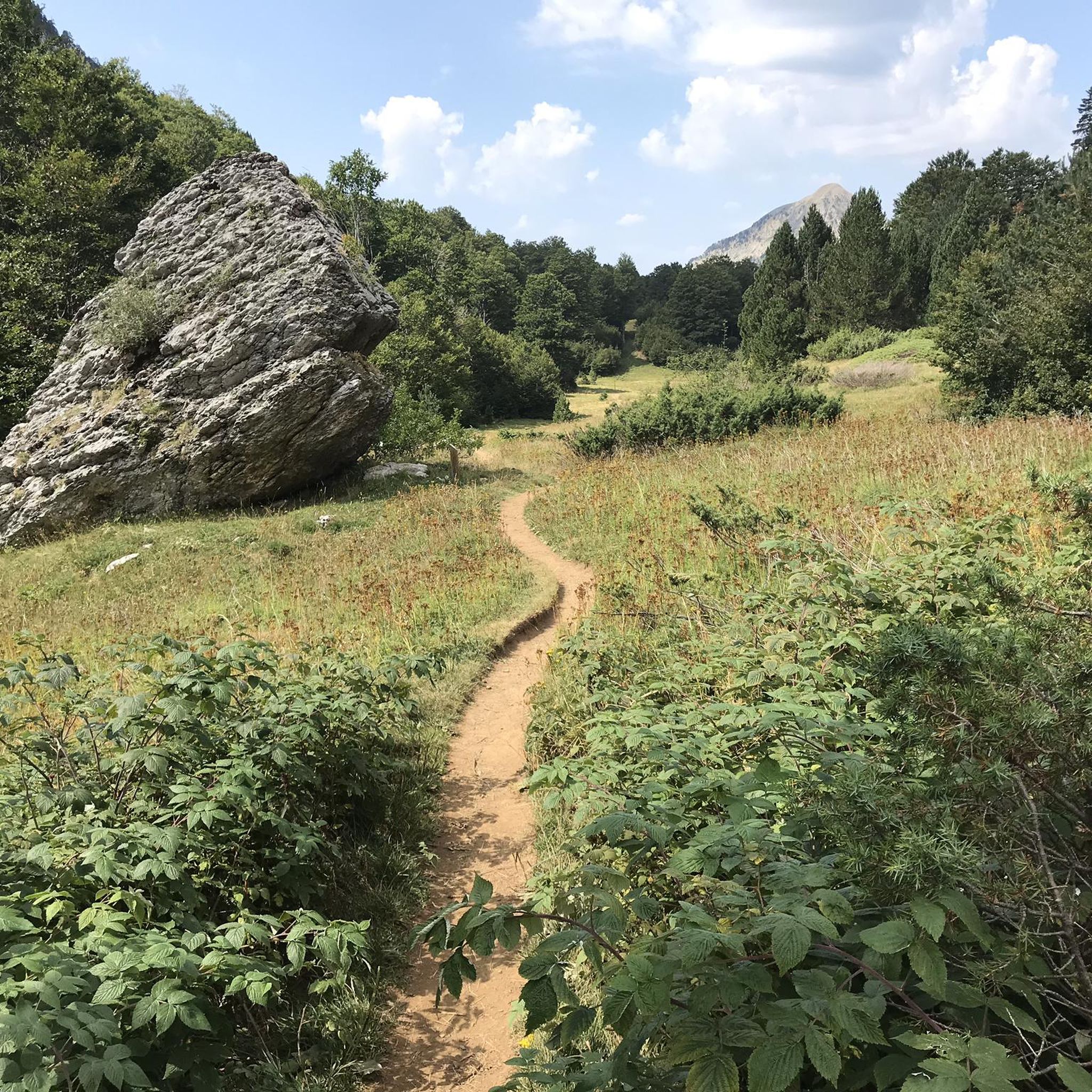
Running Trails in Aztaparretako Erreserba Integrala/Reserva Integral De Aztaparreta
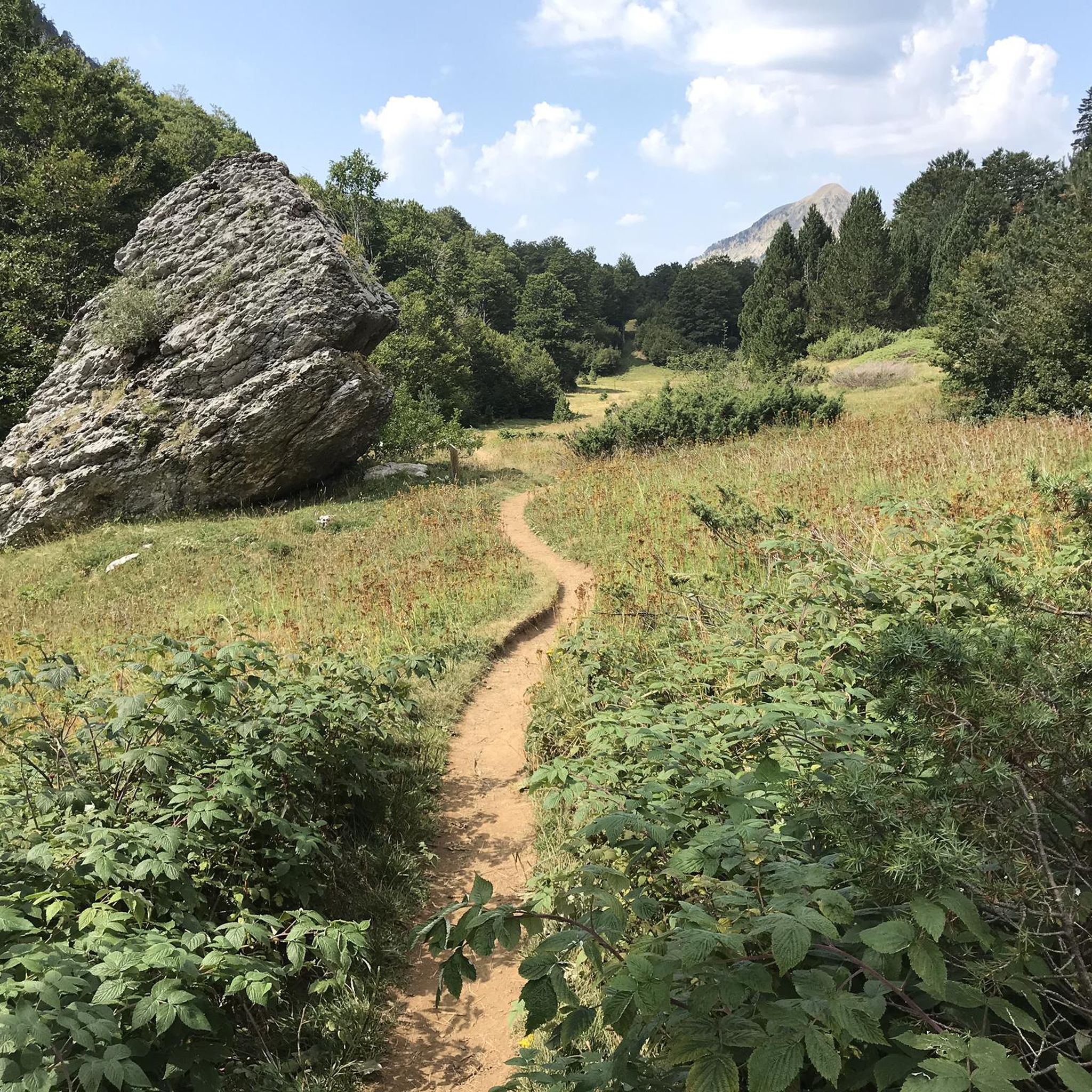
Road Cycling Routes in Aztaparretako Erreserba Integrala/Reserva Integral De Aztaparreta
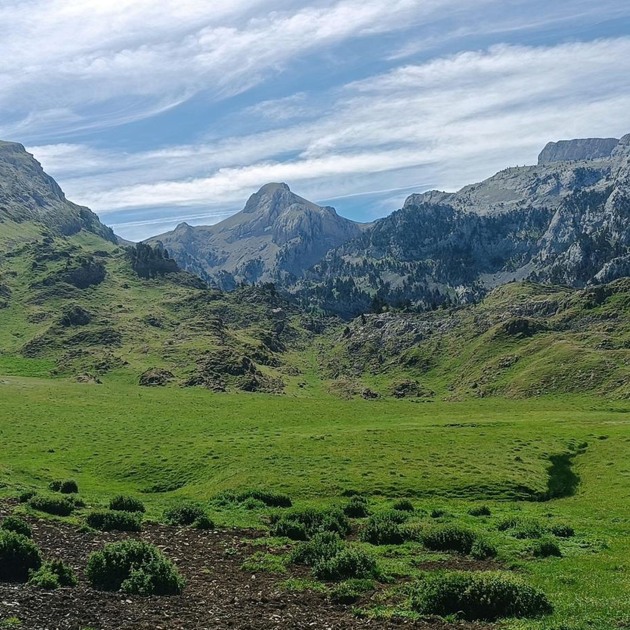
Cycling in Aztaparretako Erreserba Integrala/Reserva Integral De Aztaparreta

Mountain Hikes in Aztaparretako Erreserba Integrala/Reserva Integral De Aztaparreta
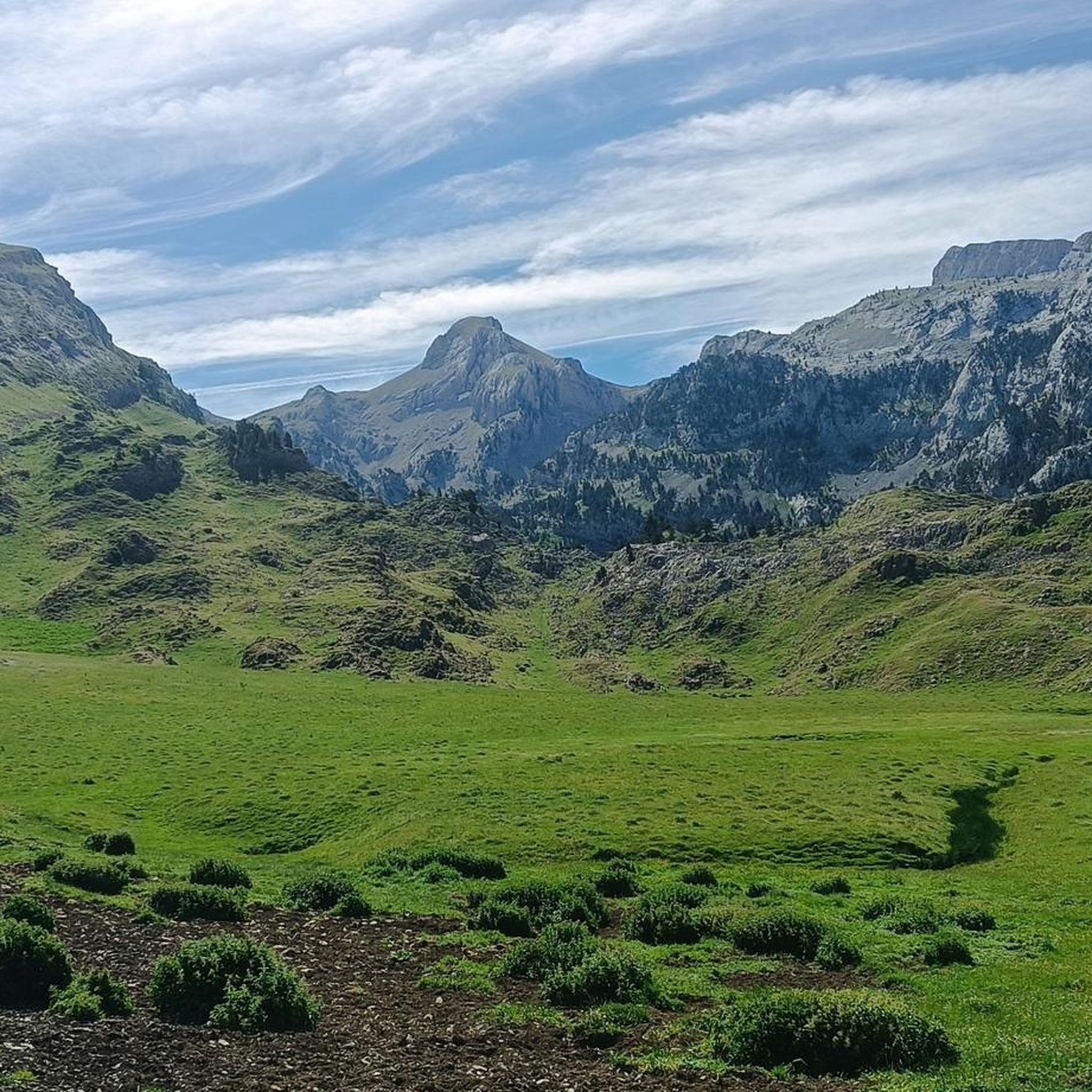
MTB Trails in Aztaparretako Erreserba Integrala/Reserva Integral De Aztaparreta
Tips from the Community

The route isn't too demanding and the forest is beautiful.
0
0

It doesn't always have water flow, especially not during the summer months.
0
0
After breakfast, it closes for a while for cleaning. Fill up your water bottle before heading up, as it's a scarce resource up there.
0
0

It is a very gentle climb that starts in the Zuriza valley and reaches the Liza refuge, where the paved road ends. The first km is the hardest with a 6% gradient, which then becomes easier with some sections that are slightly downhill. The most important thing on this climb is without a doubt the landscape that accompanies us to the refuge. In addition, it is 100% peaceful.
0
0

The Mesa de los Tres Reyes is the highest peak in Navarra with 2444 meters. It starts from the Linza refuge, being a hard and demanding climb due to the distance (17 km round trip) and the difference in altitude (1309 meters); and the last climb to reach the top in which you inevitably have to put your hands down on a steep slope with loose stones, although it is even more impressive on the way down. But the effort is rewarded by the areas that are crossed and the views throughout the journey.
1
0

It is best to put the bag down before climbing to the table.
0
0

One of the "must do" summits if you live "not so far" from it.
5
0
Small temporary deviation from the GR, to continue towards the East.
3
0
Frequently Asked Questions
How many hiking trails are available in Aztaparretako Erreserba Integrala/Reserva Integral De Aztaparreta?
There are over 80 hiking routes in Aztaparretako Erreserba Integrala/Reserva Integral De Aztaparreta, catering to various skill levels. This includes 9 easy, 36 moderate, and 44 difficult trails, ensuring options for everyone from casual walkers to experienced mountaineers.
What kind of terrain can I expect on the hiking trails?
The terrain in Aztaparretako Erreserba Integrala is diverse, featuring dense ancient beech-fir forests, particularly in the Rincón de Belagua, and dramatic karstic zones with limestone formations. Trails can range from gentle forest paths to challenging ascents towards Pyrenean peaks like Pico Maz or Txamantxoia. You'll encounter varied surfaces, from soft forest floor to rocky mountain trails.
Are there any family-friendly hiking options in the region?
Yes, Aztaparretako Erreserba Integrala offers several family-friendly hiking options, particularly among its 9 easy and 36 moderate trails. These routes often lead through the enchanting forests, providing a serene environment suitable for children. For example, the Linza Refuge – Achar del Caballo loop from Cocina libre Linza is a moderate 4.6-mile trail that could be suitable for families.
Can I bring my dog on the hiking trails?
While specific regulations for dogs can vary, the natural and remote character of Aztaparretako Erreserba Integrala generally makes it a welcoming area for dogs, especially on trails that are not within strict integral reserve zones where wildlife protection is paramount. It's always best to keep dogs on a leash to protect the local wildlife, which includes species like brown bears and various birds, and to respect other hikers. Always check local signage for any specific restrictions.
What are the best natural features or landmarks to look out for?
The primary natural feature is the ancient **beech-fir forest (hayedo-abetal)**, a UNESCO World Heritage site and one of the last virgin forests of its kind in the Pyrenees. You'll also encounter the dramatic karstic landscapes of the Larra-Aztaparreta protected area and the imposing presence of Pico Maz or Txamantxoia mountain. The profound sense of silence within the untouched forest is a unique experience. Some trails may also lead to picturesque waterfalls.
Are there any circular hiking routes available?
Yes, the region offers several circular hiking routes. A popular moderate option is the Linza Refuge – Achar del Caballo loop from Cocina libre Linza, which takes you through forested areas. Another challenging circular route is the Linza Refuge – Panoramic view of the surroundings loop from Cocina libre Linza, offering extensive views.
What is the best time of year to go hiking in Aztaparretako Erreserba Integrala?
The best time to hike in Aztaparretako Erreserba Integrala is typically from late spring to early autumn (May to October). During these months, the weather is generally milder, and trails are more accessible. Autumn offers spectacular foliage as the beech trees change color. Winter hiking is possible but requires appropriate gear and experience due to snow and colder conditions, especially at higher elevations.
Where can I park when visiting the hiking trails?
Access points for many trails, particularly those leading into the Rincón de Belagua and towards the Linza Refuge, often have designated parking areas. Common starting points like Mata de Haya or the Refugio de Linza typically provide facilities for parking. It's advisable to arrive early during peak season to secure a spot.
What kind of wildlife might I encounter?
Aztaparretako Erreserba Integrala is rich in biodiversity. You might spot various bird species, including the black woodpecker, white-backed woodpecker, boreal owls, alpine ptarmigans, and capercaillies, making it excellent for birdwatching. The area is also home to larger mammals, notably the brown bear, though sightings are rare. Other fauna includes mountain elms, yews, hollies, and rowans.
What do other hikers enjoy most about Aztaparretako Erreserba Integrala?
The area is highly rated by the komoot community, with an average score of 4.6 stars from over 390 reviews. Hikers often praise the profound sense of **silence** and untouched nature within the ancient beech-fir forest, the stunning Pyrenean landscapes, and the variety of trails catering to all skill levels. The pristine condition of the UNESCO World Heritage site is a frequently highlighted aspect.
Are there any challenging hikes for experienced mountaineers?
Absolutely. Aztaparretako Erreserba Integrala offers several difficult routes for experienced hikers. The Mesa de los Tres Reyes from Linza Trail is a demanding 10.3-mile route with significant elevation gain. Another challenging option is the Collado del Petrechema from Refugio de Linza, which ascends to a high mountain pass with expansive views.
Are there facilities like cafes or accommodation near the trails?
While Aztaparretako Erreserba Integrala itself is a pristine natural reserve, the broader Valle de Roncal area, which encompasses the reserve, offers amenities. You can find accommodation and potentially cafes or pubs in nearby villages. The Refugio de Linza, a common starting point for many hikes, also provides basic facilities. It's advisable to plan ahead, especially for food and drink, as options within the immediate reserve are limited.
Most popular routes in Aztaparretako Erreserba Integrala/Reserva Integral De Aztaparreta

Get inspired with the komoot mobile app


Explore more
Browse the best Hikes in other regions.
