The best walks and hikes in Laguna De Salinas
4.4
(192)
973
hikers
147
hikes
Hiking trails in Laguna De Salinas traverse a high-altitude environment characterized by a vast salt lake, surrounded by majestic volcanoes like Misti and Pichu Pichu. The landscape features unique Andean forests, including queñual trees, and transitions between a dry salt flat and a water-filled lagoon depending on the season. Elevations in the broader reserve range significantly, providing varied terrain for outdoor exploration. The region offers diverse landscapes from arid puna to volcanic foothills.
Best hiking trails in Laguna De Salinas
- The most popular hiking route is Cueva de Borja – El Caire loop from Salinas, a 6.5 miles (10.5 km) trail that takes 3 hours 56 minutes to complete. This moderate route explores the local terrain around Salinas.
- Another top favourite among local hikers is Sierra de Salinas – El Caire loop from Salinas, a moderate 6.2 miles (10.0 km) path. This route offers views of the Sierra de Salinas hills and surrounding landscape.
- Local hikers also love the Sierra de Salinas loop from Salinas, a 5.7 miles (9.1 km) trail leading through the Sierra de Salinas area, often completed in about 3 hours 20 minutes.
- Hiking in Laguna De Salinas is defined by its salt flats, volcanic peaks, and Andean forests. The network offers options for different ability levels, from easy walks to more challenging ascents.
- The routes in Laguna De Salinas are highly rated by the komoot community with an average score of 4.4 stars from over 160 reviews. More than 800 hikers have used komoot to explore Laguna De Salinas's varied terrain.
Last updated: October 8, 2026
4.3
(4)
17
hikers
10.9km
04:04
550m
550m
Moderate hike. Good fitness required. Mostly accessible paths. Sure-footedness required.
5.0
(1)
10
hikers
9.96km
04:13
570m
570m
Moderate hike. Good fitness required. Mostly accessible paths. Sure-footedness required.

4.0
(1)
9
hikers
11.4km
03:28
400m
400m
Moderate hike. Good fitness required. Easily-accessible paths. Suitable for all skill levels.
5
hikers
6.99km
02:50
440m
440m
Moderate hike. Good fitness required. Mostly accessible paths. Sure-footedness required.
5.0
(2)
9
hikers
8.29km
02:33
310m
310m
Moderate hike. Good fitness required. Easily-accessible paths. Suitable for all skill levels.
Get access to more routes and recommendations from other explorers.
Already have an account?
Our route recommendations are based on thousands of hikes, rides, and runs completed by other people on komoot.
Start today with a free account
Your next adventure awaits.

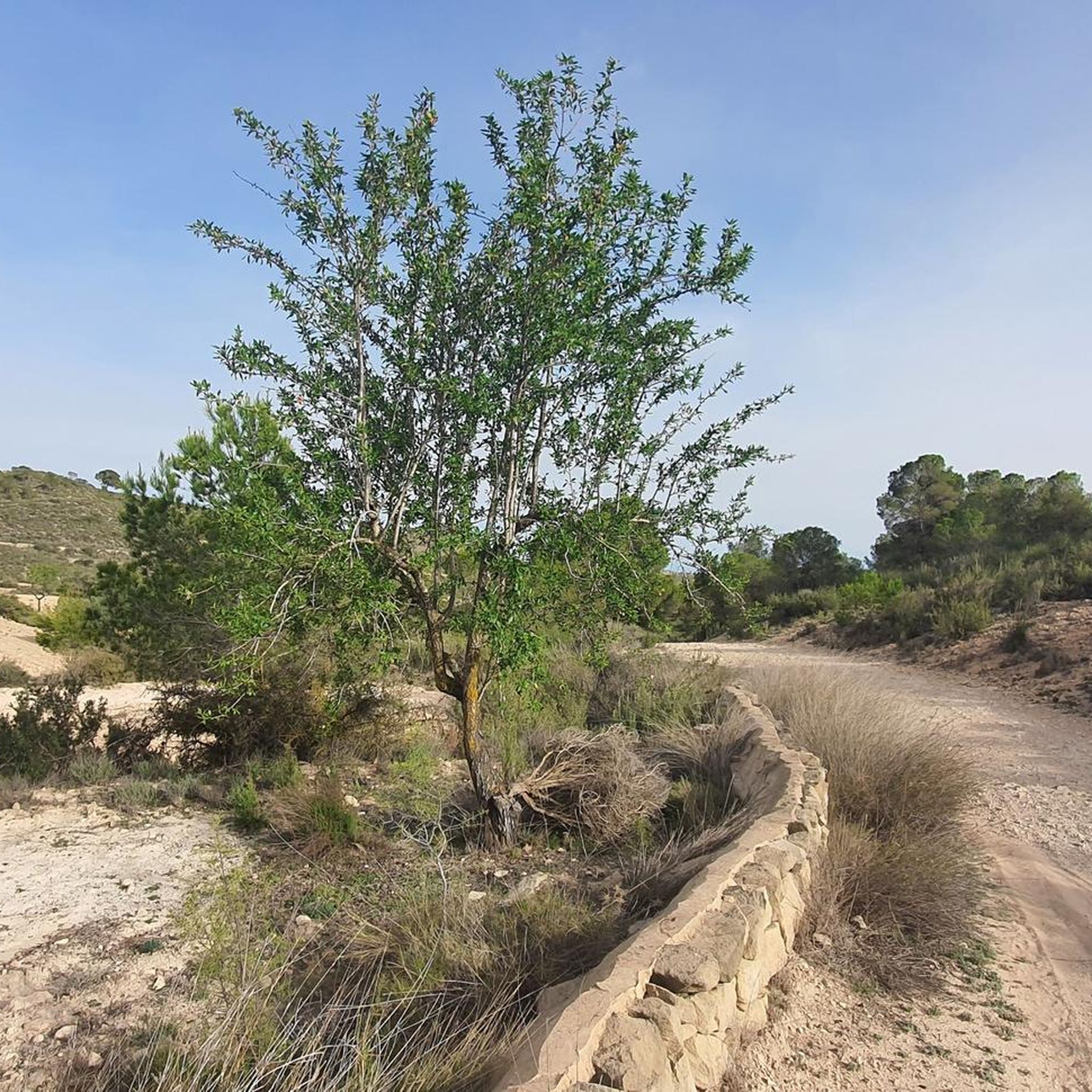
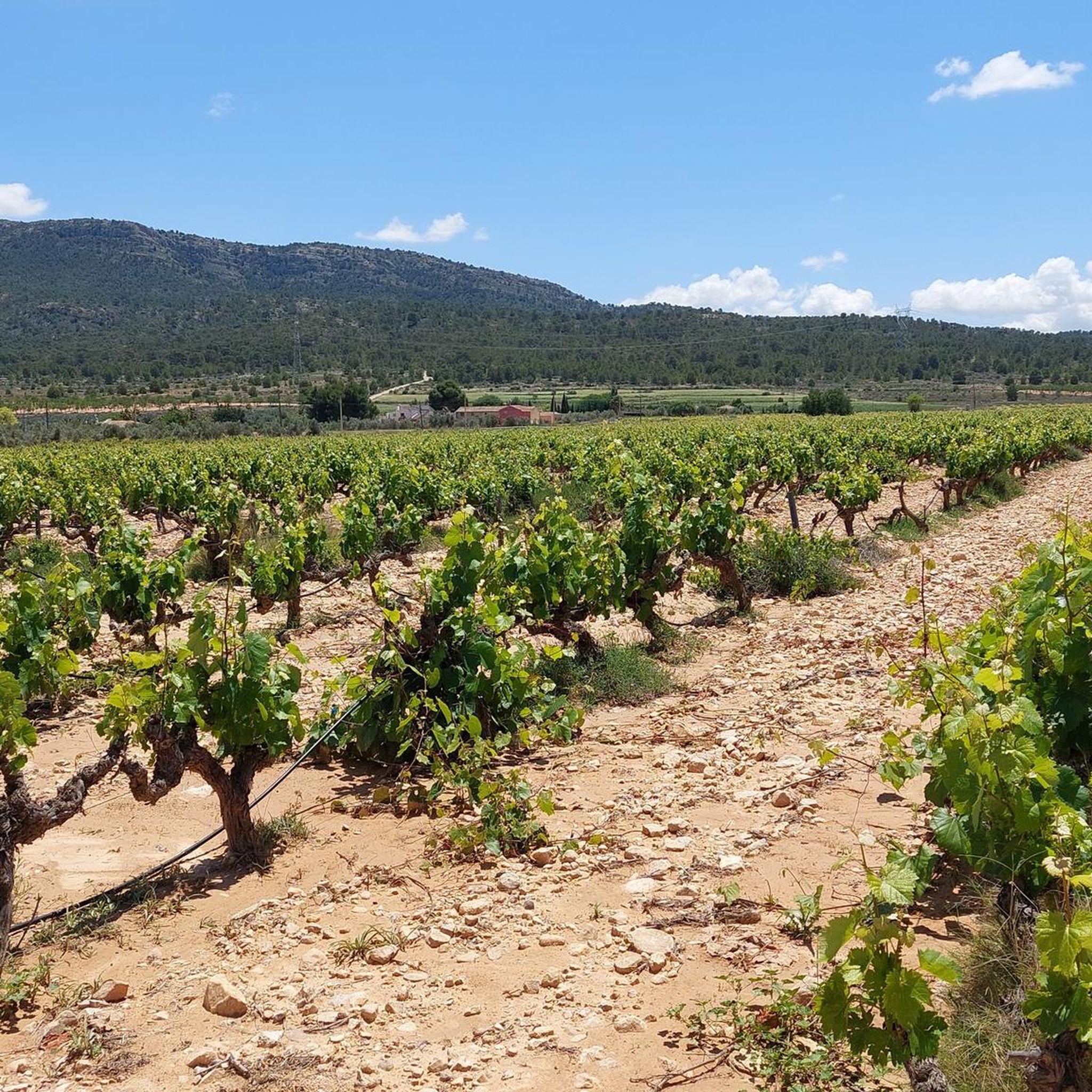
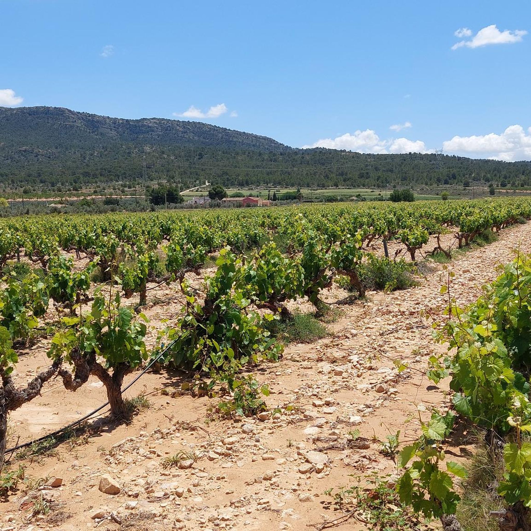
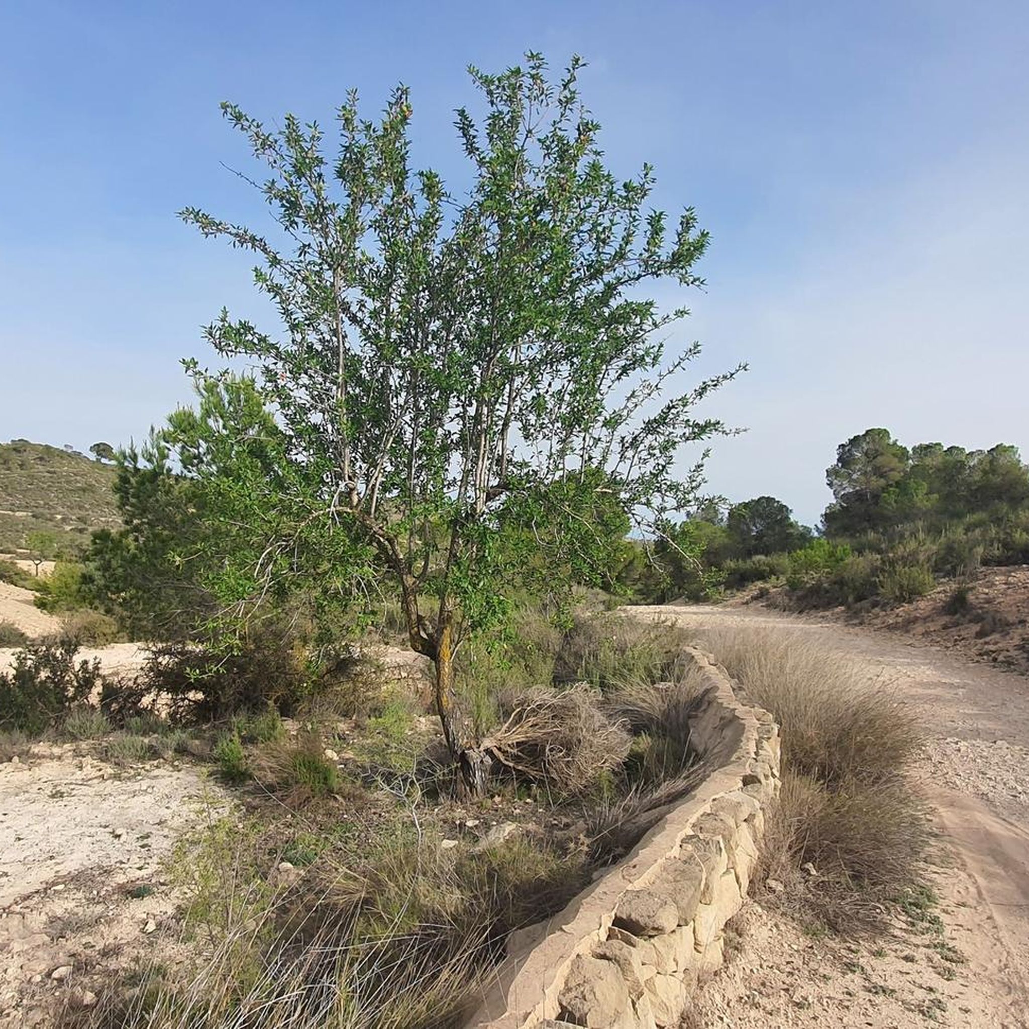
Tips from the Community

Cave located a few meters from the trail in a valley and which must have been used to store livestock.
1
0
The Sierra de Salinas has 2 peaks, El Caire or Peña del Sol in Alicante and La Capilla in Murcia.
1
0
The Sierra de Salinas has it all, landscape, vegetation, mountain paths, unevenness, solitude... Fortunately, it is one of those forgotten mountain ranges that is extraordinarily well preserved.
4
0

You have to deviate about 300 mt. to get to the top
1
0
Frequently Asked Questions
How many hiking trails are available in Laguna De Salinas?
Laguna De Salinas offers a wide variety of hiking experiences, with over 120 routes recorded on komoot. These range from easy walks to more challenging ascents, catering to different fitness levels.
What kind of terrain and natural features can I expect to see while hiking?
You'll encounter a unique high-altitude environment dominated by the vast Laguna de Salinas itself, which transforms from a glittering salt flat in the dry season to a reflective lake during the rains. Majestic volcanoes like Misti and Pichu Pichu frame the landscape, and you can explore unique Andean forests with 'queñual' trees. The broader reserve features arid Puna environments and volcanic foothills.
When is the best time to hike in Laguna De Salinas?
The best time largely depends on what you want to experience. The dry months (May to December) are ideal for seeing the salt lake as a vast, white salt flat. During the rainy season (January to May), the lake fills with water, creating stunning reflections and attracting a diverse array of flamingos and other waterbirds. Be prepared for high-altitude conditions year-round.
Are there any easy trails suitable for beginners or families?
Yes, Laguna De Salinas offers 19 easy routes. An excellent option for a less strenuous outing is the Hermitage of San Isidro loop from Salinas, which is just over 5 km and features minimal elevation gain, making it suitable for a relaxed walk.
What kind of wildlife can I expect to see during my hike?
The area is a haven for Andean wildlife. You might spot South American camelids like llamas, alpacas, and vicuñas, as well as foxes and viscachas. During the rainy season, the lagoon is a prime spot to see all three species of Peruvian flamingos, along with other Andean waterbirds. Eagles and condors are also present in the skies.
Are there any circular routes available for hikers?
Yes, many of the trails in Laguna De Salinas are designed as loops. For example, the Sierra de Salinas loop from Salinas is a moderate 9.1 km route that allows you to explore the area without retracing your steps.
What are some notable landmarks or viewpoints along the trails?
The main landmark is the Laguna de Salinas itself, offering incredible views, especially with the backdrop of volcanoes like Misti and Pichu Pichu. Hikers can also explore areas like the Cueva de Borja, which is part of the popular Cueva de Borja – El Caire loop from Salinas. The Sierra de Salinas hills also provide scenic vistas.
What should I know about the high altitude when planning a hike?
Laguna de Salinas is situated around 4300 meters (14,110 feet) above sea level, and the broader reserve ranges up to 6,050 meters. It's crucial to allow time for acclimatization before undertaking strenuous hikes. Be prepared for thinner air, colder temperatures, and potentially strong sun exposure. Always carry plenty of water and appropriate gear.
Are there any cultural or historical sites to explore near the hiking routes?
En route to the lagoon, you may pass through traditional villages like Chiguata. This village preserves stone and adobe houses and features ancient pre-Inca terraces and petroglyphs, offering fascinating glimpses into the region's rich history and culture.
What do other hikers enjoy the most about hiking in Laguna De Salinas?
The trails in Laguna De Salinas are highly rated by the komoot community, with an average score of 4.4 stars from over 160 reviews. Hikers frequently praise the dramatic high-altitude landscapes, the unique salt lake, the majestic volcanic backdrops, and the abundant opportunities for wildlife viewing, especially the flamingos during the wet season.
Are there more challenging hiking options for experienced adventurers?
Yes, for those seeking a greater challenge, there are 9 difficult routes available. While specific routes are not detailed here, the region's high-altitude environment and volcanic surroundings offer opportunities for longer treks and significant elevation gains, some extending over five hours or involving climbs for acclimated travelers.
Can I bring my dog on the trails in Laguna De Salinas?
While the guide does not specify dog-friendly trails, it's generally advisable to check local regulations for the Salinas and Aguada Blanca National Reserve regarding pets. High-altitude environments and wildlife protection often have restrictions, so confirm with local authorities before bringing your dog.
Are there thermal springs in the area that can be visited after a hike?
Yes, the region features small thermal springs, such as those located near Lojen. These can be a relaxing and unique addition to your itinerary after a day of hiking, offering a chance to unwind amidst the stunning natural surroundings.
Most popular routes in Laguna De Salinas

Get inspired with the komoot mobile app


Explore more
Browse the best Hikes in other regions.
