The best cycling routes around Hohenthurn
4.5
(7060)
45,187
riders
213
rides
Best touring cycling routes in Hohenthurn area traverse a landscape shaped by river valleys, notably the Gail River, and offer views of surrounding lakes and distant mountains. The region features a mix of flat river paths and more undulating terrain, providing varied cycling experiences. These routes often connect to established long-distance paths like the Alpe Adria Route and the Gailtal Cycle Path.
Best touring cycling routes around Hohenthurn
- The most popular touring cycling route is Kranjska Gora town centre –…
Last updated: October 8, 2026
4.8
(98)
514
riders
123km
07:52
1,450m
1,450m
Hard bike ride. Very good fitness required. Mostly paved surfaces. Suitable for all skill levels.
4.4
(55)
362
riders
48.9km
02:49
170m
170m
Moderate bike ride. Good fitness required. Mostly paved surfaces. Suitable for all skill levels.

4.4
(56)
304
riders
52.9km
03:18
190m
190m
Moderate bike ride. Good fitness required. Mostly paved surfaces. Suitable for all skill levels.
5.0
(5)
208
riders
104km
07:04
1,670m
1,670m
Hard bike ride. Very good fitness required. You may need to push your bike for some segments of this route.
4.4
(42)
183
riders
35.7km
02:16
160m
160m
Moderate bike ride. Good fitness required. Mostly paved surfaces. Suitable for all skill levels.
Get access to more routes and recommendations from other explorers.
Already have an account?
Our route recommendations are based on thousands of hikes, rides, and runs completed by other people on komoot.
Start today with a free account
Your next adventure awaits.

Tips from the Community


Along the cycle path, there are many spots with a beautiful view of the Villach local mountain 👀
1
0
Well-maintained cycle path with some refreshment stops 😋🚴♂️
0
0

Who doesn't love the view of the proud Triglav?
0
0
One of many pleasant tunnels - Caution, they are not always lit!
0
0
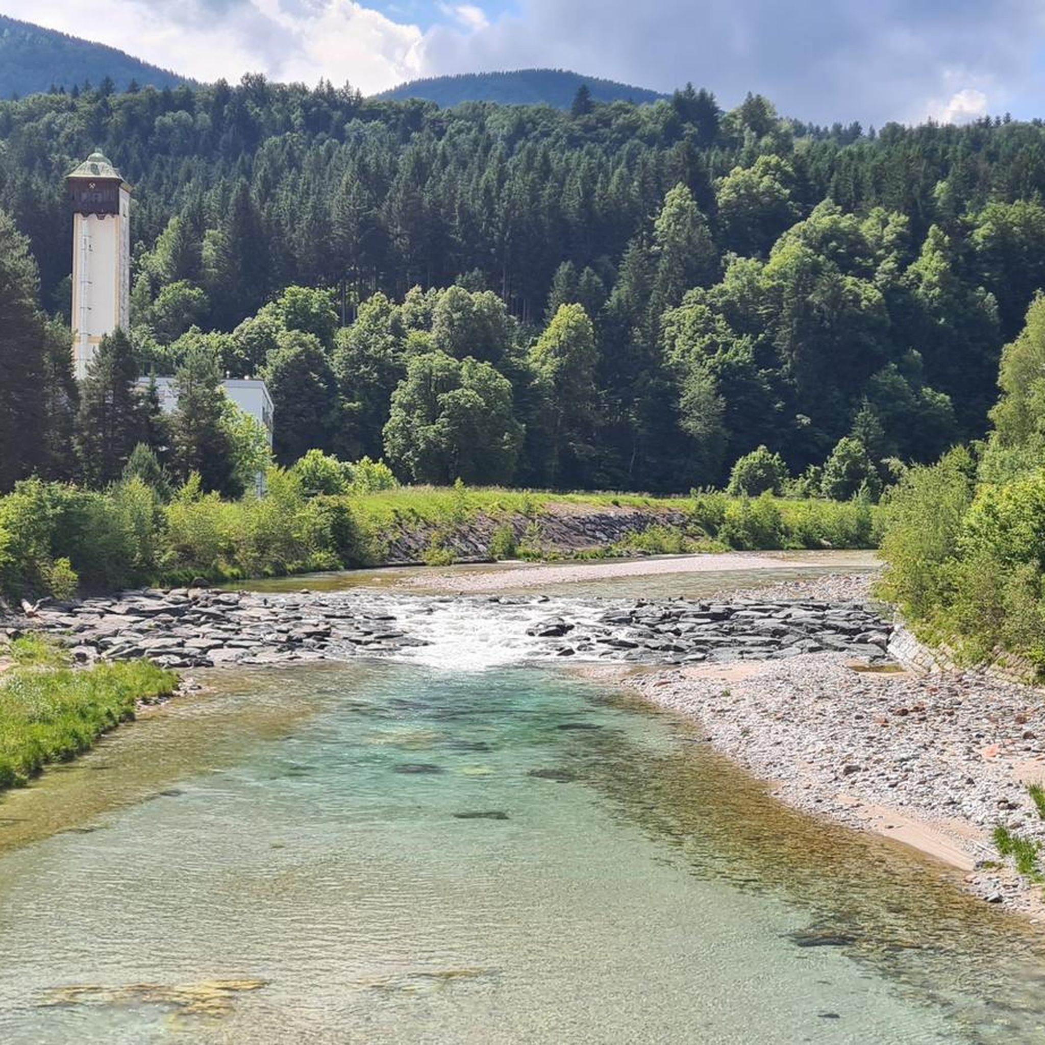
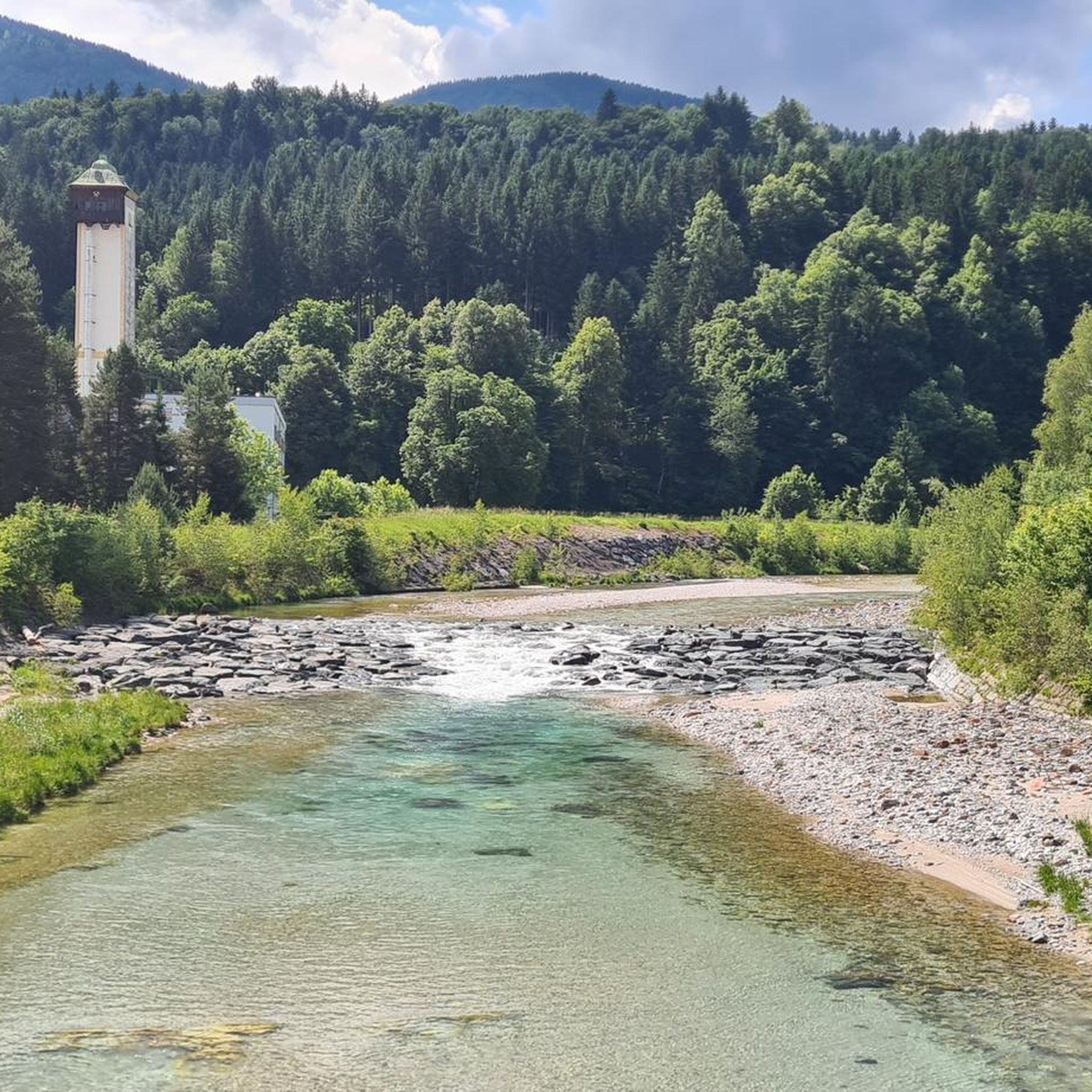
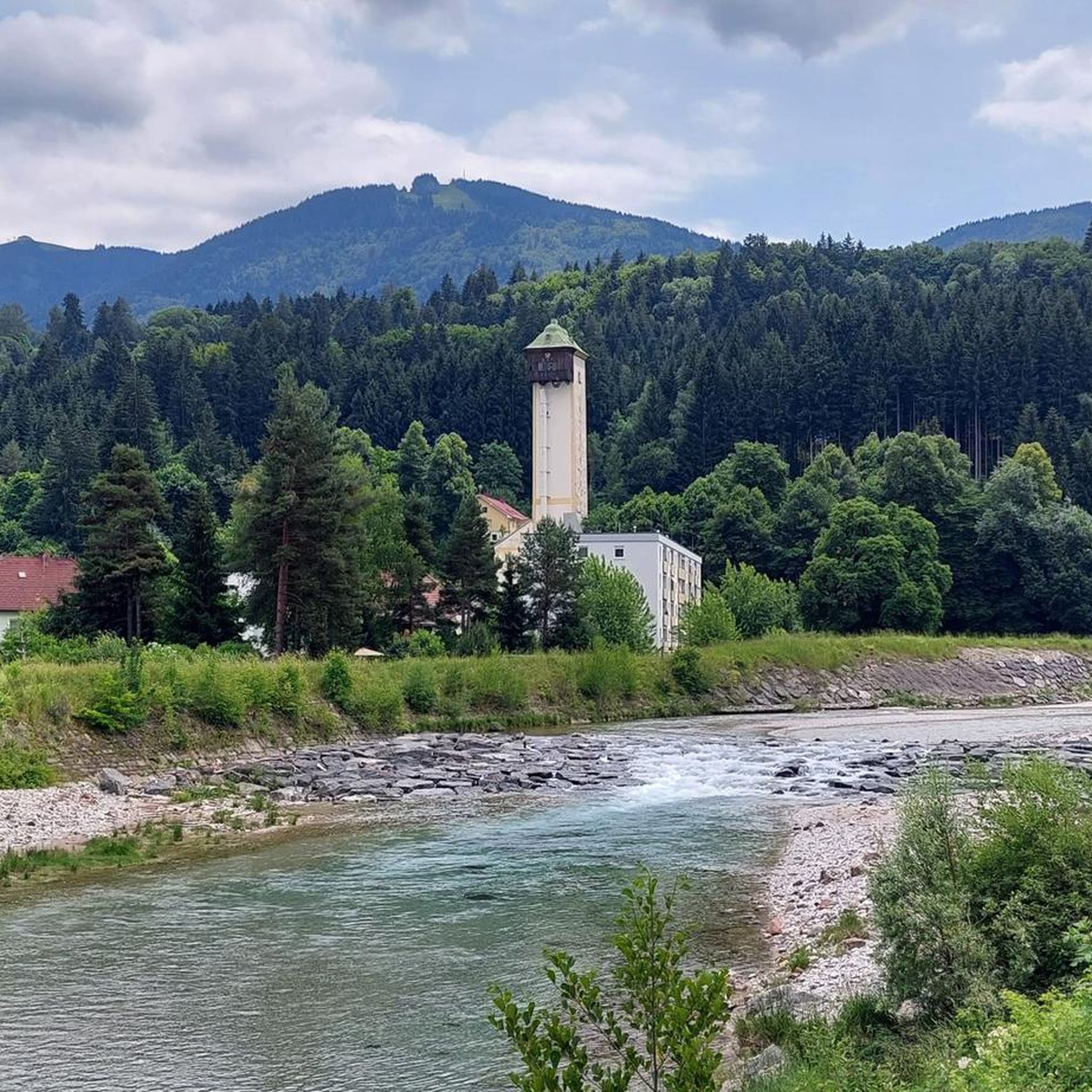
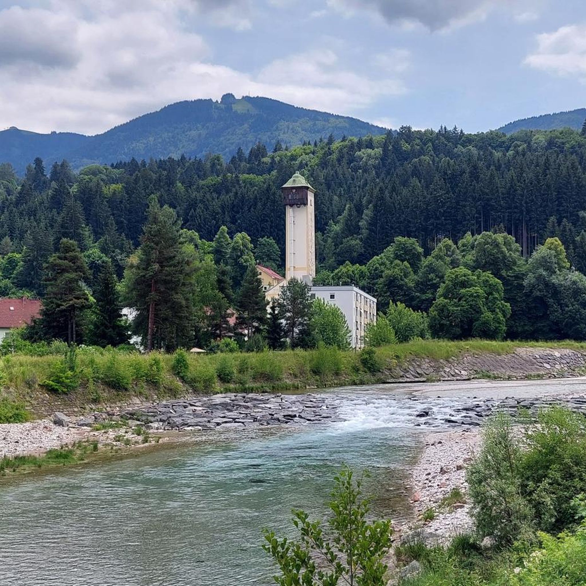
Great trail along the Gail; invites you at many points for a detour to the river, which with its many blue and turquoise tones is simply enchanting!
0
0
you have to experience it yourself!💯
0
0
Fantastic gravel track along the Gail; pleasantly shady and cool in summer 👍
0
0
Frequently Asked Questions
How many touring cycling routes are available around Hohenthurn?
There are over 200 touring cycling routes available in the Hohenthurn area, offering a wide range of options for different skill levels and preferences. The komoot community has explored over 41,000 of these routes.
Are there easy touring cycling routes suitable for beginners in Hohenthurn?
Yes, Hohenthurn offers a good selection of easy touring cycling routes. There are 48 routes specifically categorized as easy, often following flat river paths like those along the Gail River, making them ideal for beginners or those looking for a relaxed ride.
Are there challenging touring cycling routes for experienced cyclists in Hohenthurn?
Absolutely. For experienced touring cyclists, Hohenthurn features 106 difficult routes. These often include significant elevation gain and can connect to international paths, such as the Kranjska Gora town centre – Alpe Adria Route loop from Arnoldstein, which spans over 76 miles (123 km) and involves substantial climbing.
What are the typical durations and distances for touring cycling routes in Hohenthurn?
Route durations and distances vary significantly. You can find shorter rides, like sections of the Gailtal Cycle Path, or longer, multi-hour tours. For example, the moderate Bridge over the Gail River – View of Lake Pressegger See loop from Nötsch is about 30 miles (49 km) and takes around 2 hours 50 minutes, while more challenging routes can extend over 70 miles (110 km) and take 7-8 hours.
Are there any circular touring cycling routes in Hohenthurn?
Many touring cycling routes in Hohenthurn are designed as loops, allowing you to start and end at the same point. Examples include the moderate Gail River Near Latschach – Bridge over the Gail River loop from Nötsch, which follows the Gail River valley, and the easy Gailtal cycle path – Gail Valley Cycle Route (R3) loop from Arnoldstein.
What can I see along the touring cycling routes in Hohenthurn?
The routes offer diverse scenery, from river valleys to lake views and distant mountains. You can encounter natural landmarks like the Slizza Gorge and its waterfall, or explore significant peaks such as the Dobratsch Summit. The region also features cultural highlights like the Monte Lussari Pilgrimage Village.
Is public transport accessible for reaching touring cycling routes in Hohenthurn?
Hohenthurn and nearby towns like Arnoldstein are generally well-connected by regional public transport, including train and bus services. These can often be used to access starting points for routes, especially those connecting to larger cycle paths like the Alpe Adria Route, which has good transport links.
What is the best time of year for touring cycling in Hohenthurn?
The best time for touring cycling in Hohenthurn is typically from late spring through early autumn (May to October). During these months, the weather is generally mild and pleasant, and the paths are clear. Summer offers warm temperatures, while spring and autumn provide beautiful scenery with fewer crowds.
Are there family-friendly touring cycling routes in Hohenthurn?
Yes, many of the easier routes along the Gail River are suitable for families. These paths are often flat and well-maintained, providing a safe and enjoyable experience for cyclists of all ages. Look for routes with minimal elevation gain and away from heavy traffic.
What do other touring cyclists enjoy the most about touring cycling in Hohenthurn?
The touring cycling routes in Hohenthurn are highly rated by the komoot community, with an average score of 4.6 stars from over 6,200 reviews. Cyclists frequently praise the scenic views of lakes and mountains, the well-maintained river paths, and the connections to established long-distance cycle routes like the Alpe Adria Route.
Are there any routes that offer views of the Triglav Mountains?
Yes, some of the more challenging routes in the area provide stunning views of the Julian Alps, including the Triglav Mountains. An example is the difficult View of the Triglav Mountains – Alpe Adria Route loop from Arnoldstein, which covers over 64 miles (103 km) and offers panoramic vistas.
Most popular routes around Hohenthurn
Most popular attractions around Hohenthurn

Get inspired with the komoot mobile app


Explore more
Browse the best Cycling routes in other regions.
