The best road cycling routes around Hohenthurn
4.6
(506)
15,241
riders
64
rides
Road cycling routes around Hohenthurn are situated within the scenic Gailtal valley, extending across the northern slopes of the Carnic Alps in Carinthia, Austria. This region offers a varied terrain, combining the gentler inclines of the valley with more challenging ascents into the alpine foothills. Cyclists encounter rolling hills, views of the Gailtal Alps, and the prominent Dobratsch massif. Its proximity to the Italian and Slovenian borders also allows for cross-border cycling experiences.
Best road cycling routes around Hohenthurn
- The…
Last updated: September 27, 2026
4.8
(61)
1,929
riders
113km
05:50
1,850m
1,850m
Hard road ride. Very good fitness required. Some segments of this route may be unpaved and difficult to ride.
4.8
(16)
733
riders
138km
07:53
3,030m
3,030m
Hard road ride. Very good fitness required. Some segments of this route may be unpaved and difficult to ride.

4.8
(15)
847
riders
105km
05:21
1,640m
1,640m
Hard road ride. Very good fitness required. Some segments of this route may be unpaved and difficult to ride.
3.8
(5)
182
riders
57.0km
02:34
510m
510m
Moderate road ride. Good fitness required. Mostly well-paved surfaces and easy to ride.
4.4
(5)
192
riders
58.0km
02:29
410m
410m
Moderate road ride. Good fitness required. Some segments of this route may be unpaved and difficult to ride.
Get access to more routes and recommendations from other explorers.
Already have an account?
Our route recommendations are based on thousands of hikes, rides, and runs completed by other people on komoot.
Start today with a free account
Your next adventure awaits.

Tips from the Community


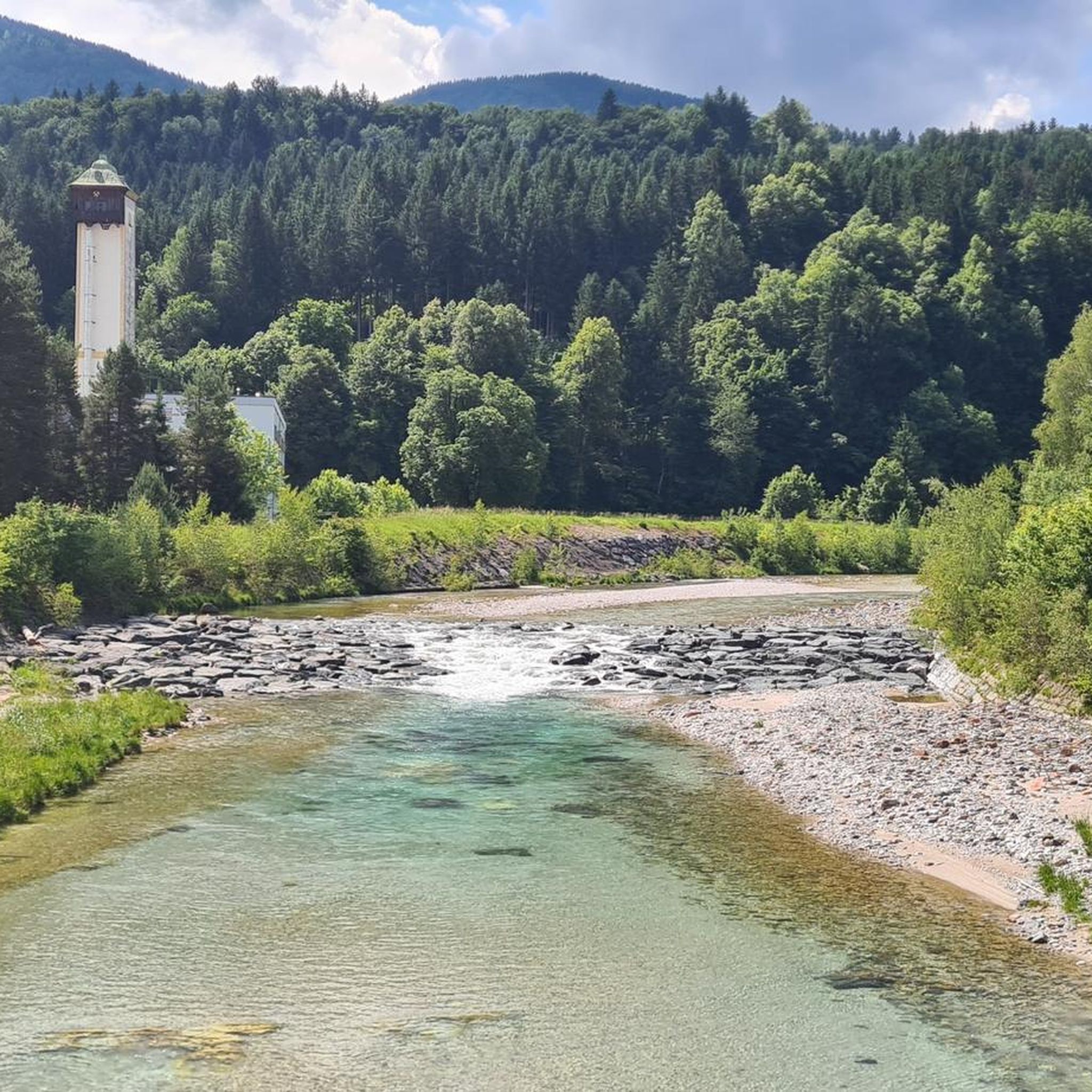
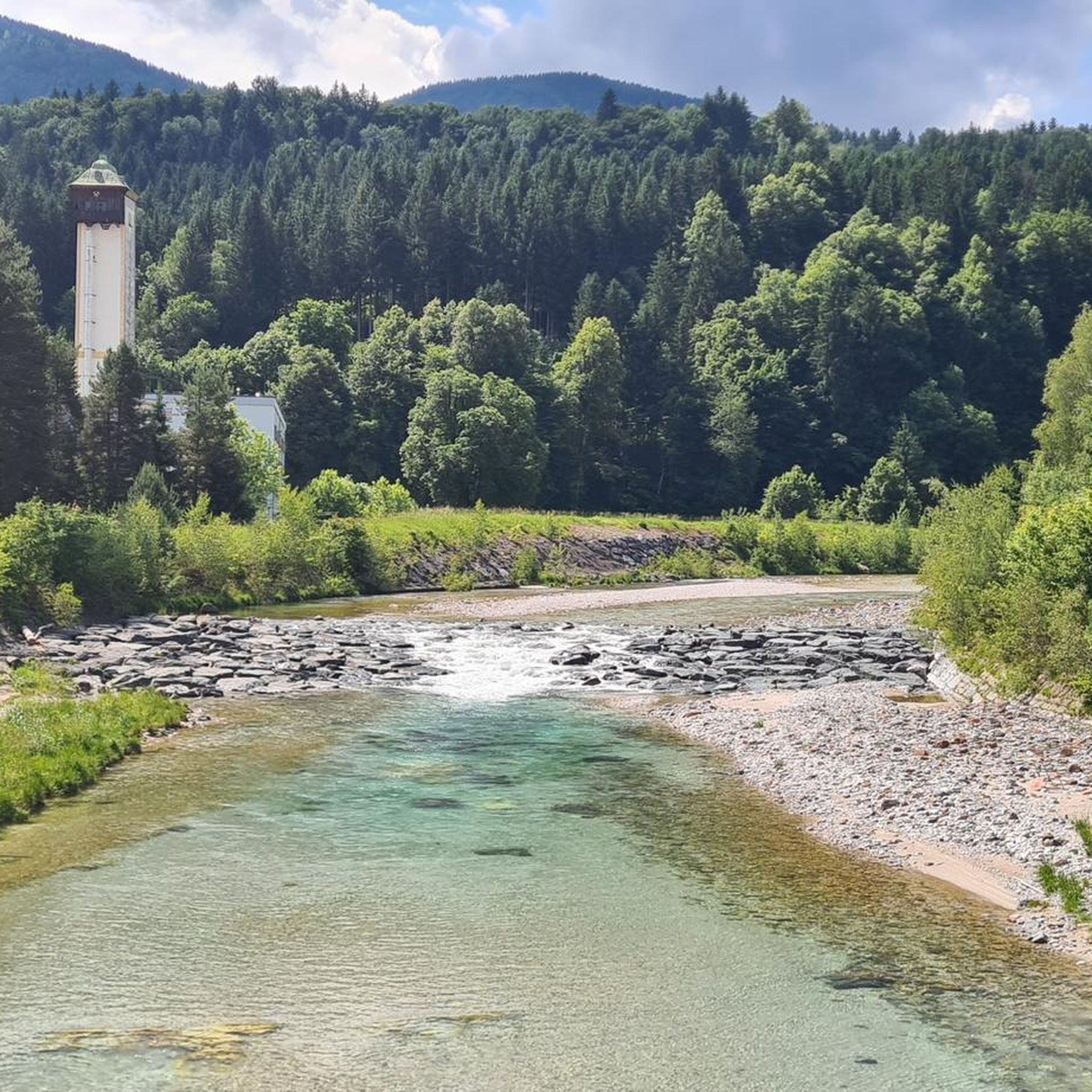
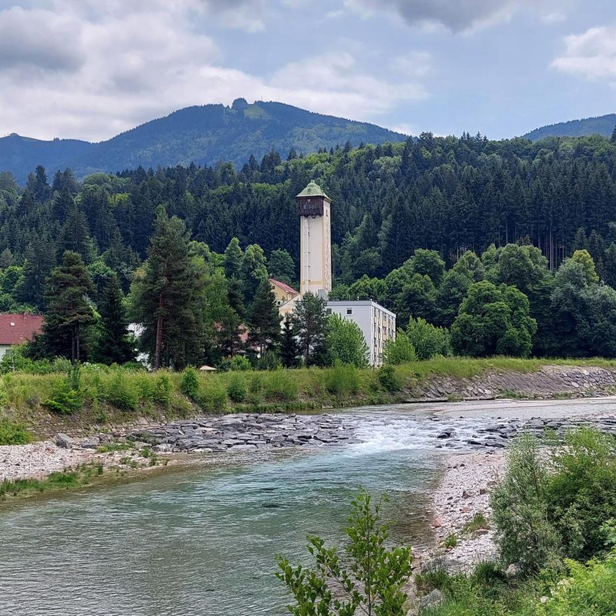
Beautiful section of the Alpe-Adria Cycle Path with a scenic surrounding.
0
0

You can hardly use the sidewalk to go up, as it's no fun for anyone to ride on the road on the steep and busy street....
0
0

Very impressive and effective mountain lake directly on the Austria/Italy border line, which you can circle via a gravel path and see many beautiful reflections in the water. Additionally, wooden benches and loungers are set up around the lake - ideal for lingering.
0
0

The 22% are only reached somewhere in between, most of the route is easy to ride.
0
0

Great section of the Alpe-Adria-Trail; experience it yourself!☺️👌
1
0
Frequently Asked Questions
How many road cycling routes are available around Hohenthurn?
There are over 65 road cycling routes around Hohenthurn, offering a wide range of options from easy to difficult. The komoot community has explored more than 12,800 of these routes.
What kind of terrain can I expect on road cycling routes in Hohenthurn?
Road cycling in Hohenthurn features varied terrain, combining the gentler inclines of the Gailtal valley with more challenging ascents into the alpine foothills of the Carnic Alps. You'll encounter rolling hills and impressive views of the Gailtal Alps and the prominent Dobratsch massif. Some routes may also incorporate easy gravel sections for variety.
Are there any easy or family-friendly road cycling routes in Hohenthurn?
Yes, Hohenthurn offers 17 easy road cycling routes suitable for families or those seeking a more relaxed ride. These routes often follow smooth cycleways and quiet valley roads, providing a pleasant experience without overly challenging ascents.
What are some scenic landmarks or viewpoints along the road cycling routes?
The region offers stunning views of the Gailtal Alps and the Dobratsch massif. You can also explore historical sites such as Arnoldstein Monastery Ruins or Fort Hensel. Natural attractions include Lago di Fusine Inferiore and the Zelenci Nature Reserve, which are accessible from some routes.
Are there any circular road cycling routes starting near Hohenthurn?
Yes, many routes are designed as loops. For example, the Predil Pass – Lake Predil loop from Arnoldstein offers alpine scenery and traverses the border region. Another option is the Pontebbana Cycle Path loop from Arnoldstein, which follows valley roads.
What is the best time of year for road cycling in Hohenthurn?
The region is generally best for road cycling from spring through autumn. The peaceful, rural atmosphere combined with pleasant weather during these seasons enhances the overall cycling experience, allowing for comfortable rides through the valley and into the alpine foothills.
Can I access the Alpe Adria Cycle Route from Hohenthurn?
Yes, Hohenthurn is connected to stages of the renowned Alpe Adria Cycle Route. This long-distance route often utilizes well-developed paths, including disused railway tracks, providing a unique and often gentle cycling experience through stunning landscapes. A specific stage from Villach to Tarvis passes near Hohenthurn along the Gail river.
What do other road cyclists enjoy most about road cycling in Hohenthurn?
The area is highly rated by the komoot community, with an average score of 4.7 stars from over 350 reviews. Cyclists often praise the diverse terrain, from valley roads to alpine ascents, and the stunning views of the Carnic Alps and Dobratsch massif. The peaceful environment and cross-border cycling opportunities are also frequently highlighted.
Are there options for parking when starting a road cycling tour in Hohenthurn?
Yes, many road cycling routes in the Hohenthurn area, particularly those starting from nearby towns like Arnoldstein or Nötsch, offer convenient parking facilities. It's advisable to check the specific route details for recommended starting points with parking.
Are there any cafes or restaurants along the road cycling routes for a break?
The region around Hohenthurn features quaint villages and towns where you can find cafes and restaurants. While specific establishments are not listed for every route, the presence of local communities along the Gailtal valley and near popular cycling paths means opportunities for refreshment stops are generally available.
Are there any challenging road cycling routes with significant elevation gain?
Absolutely. Hohenthurn offers 22 difficult road cycling routes with substantial elevation gain. For instance, the Lake Predil – Predil Pass loop from Nötsch features challenging ascents with over 3,000 meters of elevation gain and expansive views of the Carnic Alps.
Can I reach Hohenthurn and its cycling routes using public transport?
Public transport options are available to reach the Hohenthurn area, often connecting through larger hubs like Villach. While specific details for carrying bikes on all public transport might vary, regional buses and trains typically offer solutions for cyclists, especially for accessing parts of the Alpe Adria Cycle Route.
Most popular routes around Hohenthurn
Most popular attractions around Hohenthurn

Get inspired with the komoot mobile app


Explore more
Browse the best Road cycling routes in other regions.
