The best cycling routes in Ex Polveriera Militare Di Padula
4.9
(16)
296
riders
49
rides
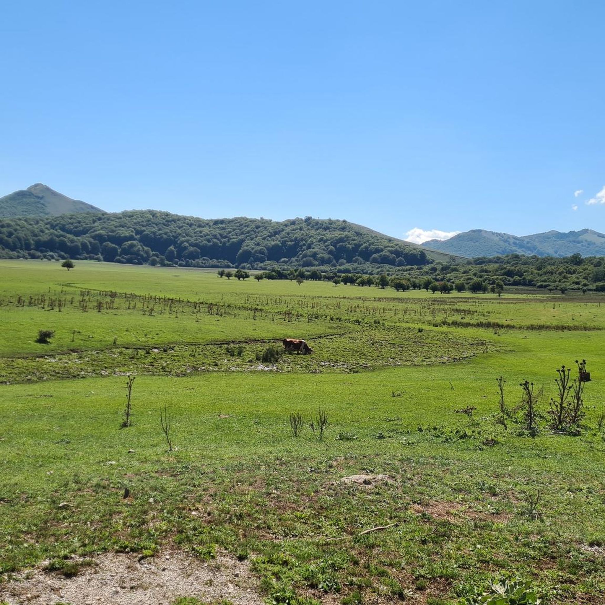
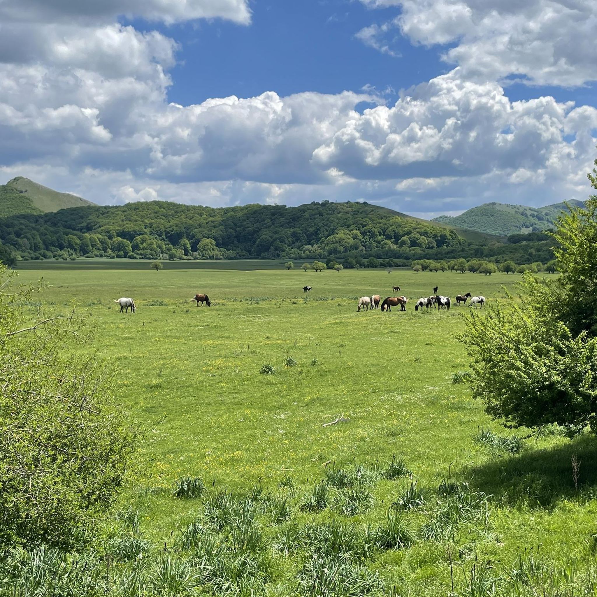
Touring cycling routes in Ex Polveriera Militare Di Padula traverse a landscape characterized by the Mandranello Natural Oasis, nestled within the Maddalena Mountains. This area features diverse terrains, including the expansive Piana di Mandranello, river paths, and open plains, alongside varied vegetation such as grassy formations and beech forests. The region also connects to the Cilento, Vallo di Diano and Alburni National Park, offering extensive cycling networks with significant elevation gains and diverse scenery. These routes provide a blend of…
Last updated: October 8, 2026
12
riders
38.9km
02:32
500m
500m
Hard bike ride. Very good fitness required. Mostly paved surfaces. Suitable for all skill levels.
13
riders
91.2km
06:09
1,410m
1,410m
Hard bike ride. Very good fitness required. Mostly paved surfaces. Suitable for all skill levels.

16
riders
Moderate bike ride. Good fitness required. Mostly paved surfaces. Suitable for all skill levels.
12
riders
Moderate bike ride. Good fitness required. Mostly paved surfaces. Suitable for all skill levels.
5
riders
89.1km
06:13
1,490m
1,490m
Hard bike ride. Very good fitness required. Mostly paved surfaces. Suitable for all skill levels.
Get access to more routes and recommendations from other explorers.
Already have an account?
Our route recommendations are based on thousands of hikes, rides, and runs completed by other people on komoot.
Start today with a free account
Your next adventure awaits.

Tips from the Community


It is the place of spirit, art, culture and silence.
0
0

The water doesn't taste good this time... it looks like it hasn't been serviced in years.
0
0
The water from this fountain is delicious, truly light and fresh. It's perfect for stocking up before climbing Cervati, or on the way back.
0
0
Unfortunately, the road to Monte Cervati has been completely paved.
0
0

recently redone road with compact surface
0
0

Amazing place along the silent road, worth a break
0
0

Here begins the climb to Mount Cervati (1,898 m above sea level), the highest mountain in the Campania region. It's 24 kilometers, seven of which are on asphalt and the remainder on dirt. Conquering the panoramic summit and arriving at the sanctuary of the Madonna della Neve are worth every drop of sweat!
1
0
Frequently Asked Questions
How many touring cycling routes are available in Ex Polveriera Militare Di Padula?
There are over 40 touring cycling routes in Ex Polveriera Militare Di Padula, offering a variety of experiences for different skill levels. The komoot community has explored these routes over 200 times.
What kind of terrain can I expect on touring cycling routes in Ex Polveriera Militare Di Padula?
The routes traverse diverse terrain, including the expansive Mandranello Plain, winding river paths, and open plains. You'll also find lush woodland vegetation, grasslands, and beech forests. The area sits at elevations between 1000 and 1300 meters, with routes connecting to the Monti della Maddalena mountain range and the Parco Nazionale del Cilento, Vallo di Diano e Alburni, which features considerable elevation changes.
Are there any family-friendly touring cycling routes in the area?
While many routes in the region are rated moderate to difficult due to elevation changes, there are some easier options. For example, the area within the Ex Polveriera itself offers a 6-kilometer path within a 10-kilometer perimeter that is generally flatter and suitable for more relaxed rides. Always check the route details for elevation and distance to ensure it matches your family's ability.
Can I bring my dog on touring cycling routes in Ex Polveriera Militare Di Padula?
Many natural areas in Italy, including parts of the Oasi Naturale del Mandranello, are generally dog-friendly, especially on trails. However, it's always best to keep dogs on a leash and check specific park regulations, particularly within the broader Parco Nazionale del Cilento, Vallo di Diano e Alburni, to ensure compliance.
What historical landmarks can I see along the touring cycling routes?
Several routes pass by significant historical sites. The Padula Charterhouse – Baptistery of St John loop from Padula takes you past the monumental Certosa di Padula, the largest charterhouse in Italy, and the ancient Battistero di San Giovanni in Fonte. Other routes may offer glimpses of the Roman Bridge of Polla.
Are there any routes that feature waterfalls?
Yes, the Venus' Hair – Capelli di Venere Waterfalls loop from Sassano-Teggiano is a longer route that leads through diverse natural features, including the picturesque Capelli di Venere Waterfalls.
What is the best time of year for touring cycling in Ex Polveriera Militare Di Padula?
The region experiences a Mediterranean climate. Spring (April-June) and autumn (September-October) generally offer the most pleasant temperatures for cycling, avoiding the peak heat of summer and the colder, potentially wetter conditions of winter. These seasons also showcase the natural beauty of the woodlands and plains.
Are there any circular touring cycling routes?
Yes, many routes in the area are designed as loops. Examples include the Padula Charterhouse – Baptistery of St John loop from Padula and the Agri River – Villa Romana di Marsicovetere loop from Paterno. The wider 'Via Silente' also offers an extensive circular experience, with a segment passing through Padula.
What do other touring cyclists enjoy most about cycling in Ex Polveriera Militare Di Padula?
The area is highly rated by the komoot community, with an average score of 4.8 stars. Reviewers often praise the blend of natural reserve landscapes, historical intrigue, and the diverse scenery offered by river paths, open plains, and connections to the Cilento National Park.
Where can I find parking for touring cycling routes?
While specific parking details for each route vary, towns like Padula and Paterno, which serve as starting points for many routes, typically offer public parking options. Within the Oasi Naturale del Mandranello itself, access points may have designated parking areas, but it's advisable to check local signage upon arrival.
Are there challenging routes for experienced touring cyclists?
Yes, the region offers plenty of challenging routes. Many of the 42 available routes are rated 'difficult,' featuring significant elevation gains, especially those that venture into the Monti della Maddalena or connect to the Parco Nazionale del Cilento, Vallo di Diano e Alburni. Routes towards peaks like Monte Cervati or Monte Volturino provide rewarding climbs and panoramic views.
Most popular routes in Ex Polveriera Militare Di Padula

Get inspired with the komoot mobile app


Explore more
Browse the best Cycling routes in other regions.
