The best walks and hikes in Ex Polveriera Militare Di Padula
4.9
(5)
51
hikers
18
hikes
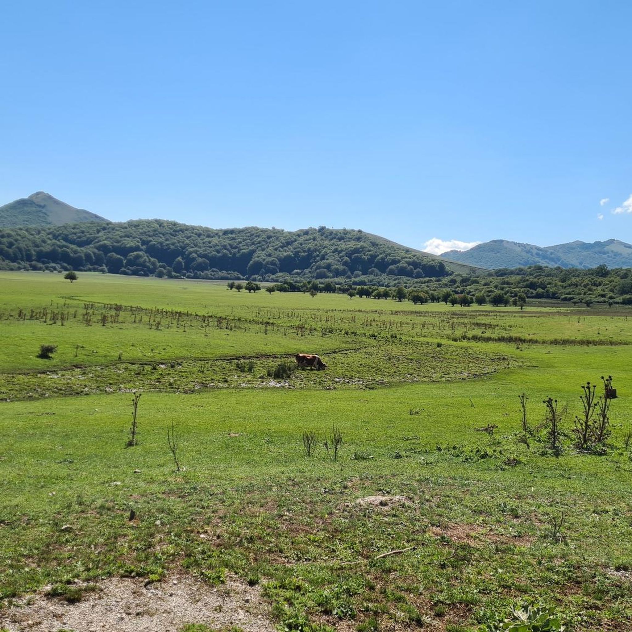
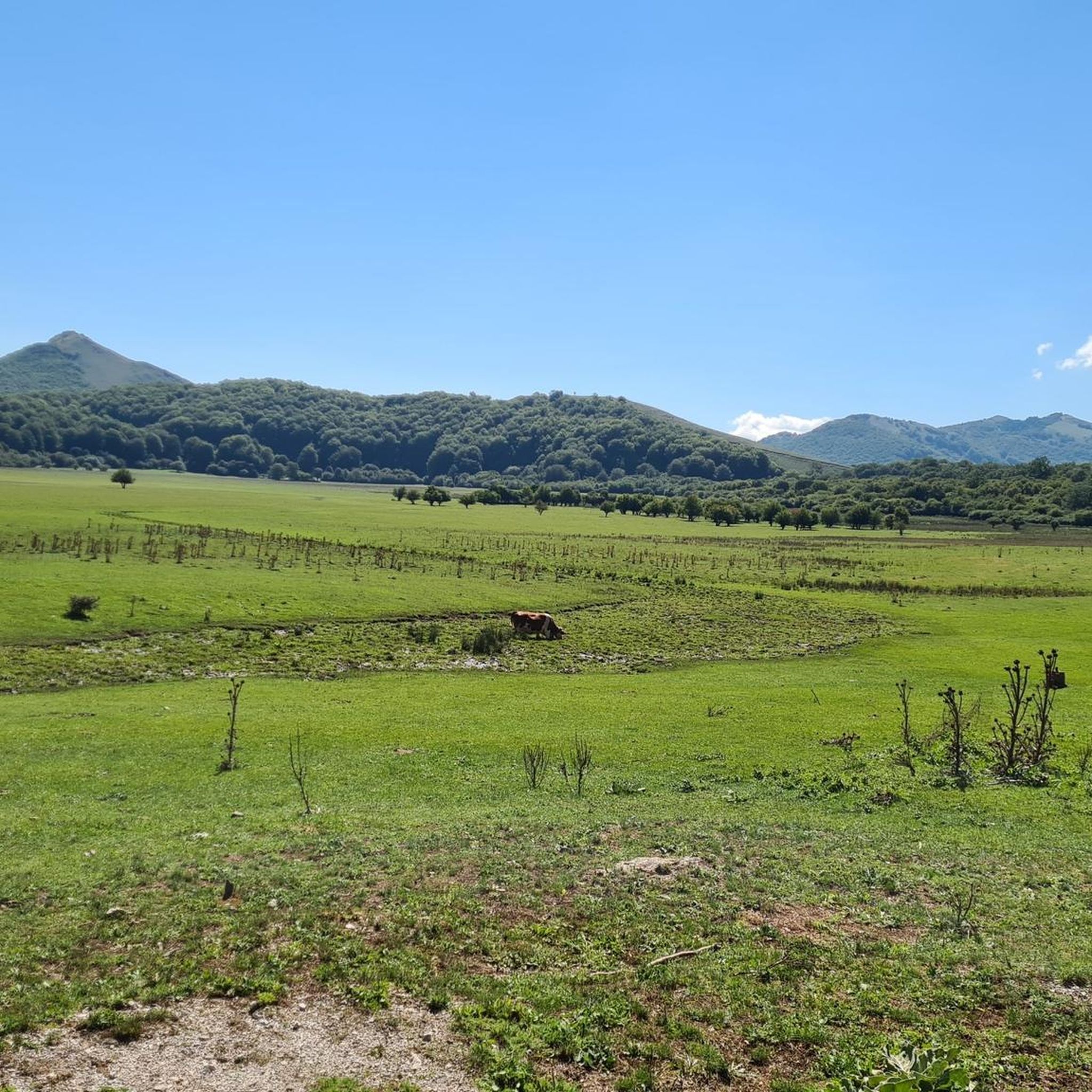
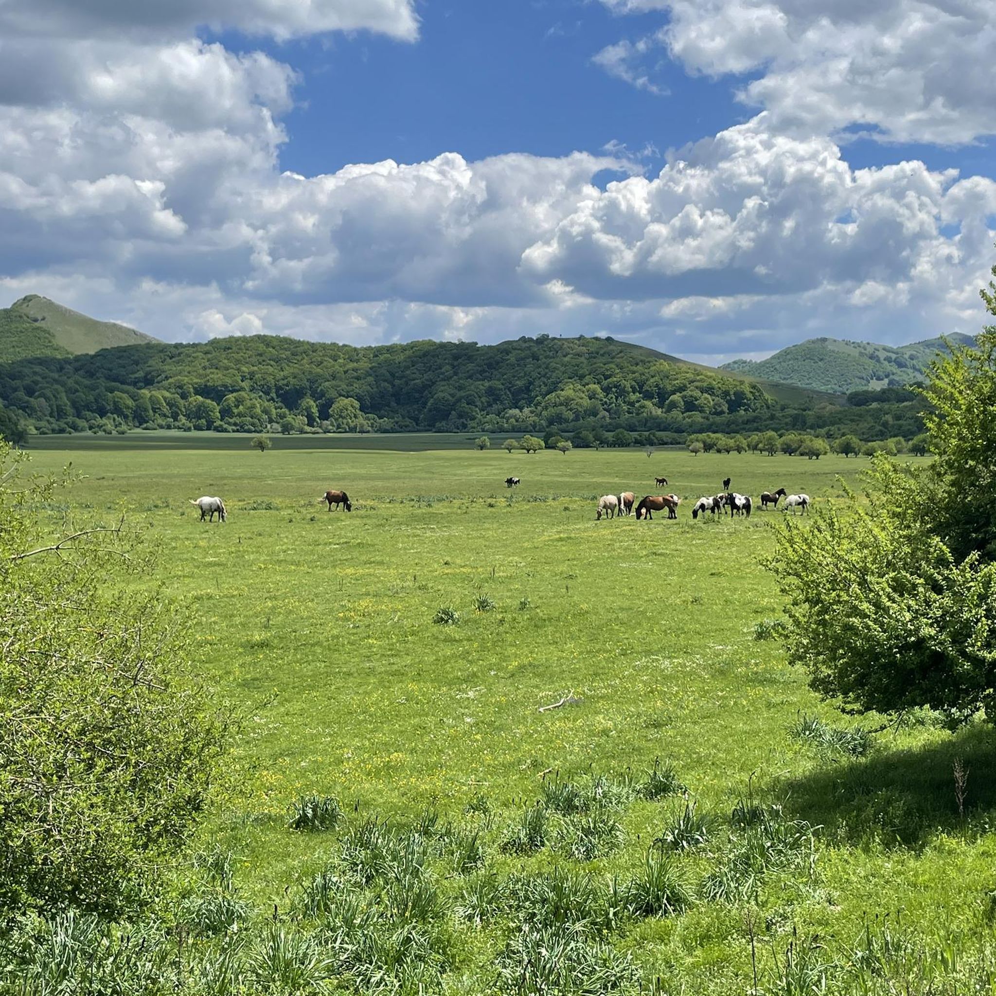
Hiking in Ex Polveriera Militare Di Padula offers access to the Mandranello Natural Oasis, a preserved environment within the Maddalena Mountains. The terrain features the Piana di Mandranello, an expansive high-altitude plain, and diverse vegetation including grassy formations and beech forests. A notable natural feature is the endorheic mountain lake, contributing to the area's eco-naturalistic value. This region provides varied landscapes for exploration, from ancient paths to areas of uncontaminated nature.
Best hiking trails in Ex Polveriera Militare Di Padula
…Last updated: October 11, 2026
5.0
(1)
7
hikers
13.1km
04:03
490m
490m
Moderate hike. Good fitness required. Easily-accessible paths. Suitable for all skill levels.
4.7
(3)
5
hikers
4.58km
01:25
170m
170m
Easy hike. Great for any fitness level. Easily-accessible paths. Suitable for all skill levels.

6
hikers
3.38km
00:52
10m
10m
Easy hike. Great for any fitness level. Easily-accessible paths. Suitable for all skill levels.
8
hikers
5.40km
01:22
10m
10m
Easy hike. Great for any fitness level. Easily-accessible paths. Suitable for all skill levels.
11
hikers
5.65km
01:30
60m
60m
Easy hike. Great for any fitness level. Easily-accessible paths. Suitable for all skill levels.
Get access to more routes and recommendations from other explorers.
Already have an account?
Our route recommendations are based on thousands of hikes, rides, and runs completed by other people on komoot.
Start today with a free account
Your next adventure awaits.

Tips from the Community

It is the place of spirit, art, culture and silence.
0
0

Great way to outsmart a rainy day in the Cilento
1
0

The Certosa di Padula is a sumptuous Baroque monumental complex, it is the first charterhouse built in Campania and the largest in Italy.
0
0

The right place to enjoy a ride through the woods, being enraptured by the beauty of nature.
0
0
A river surrounded by greenery, the perfect place for a peaceful run in the middle of nature.
0
0
At this point you can find a small bench where you can take a break next to the river, always remembering respect for nature.
0
0
The Agri river is an excellent place to relax in contact with nature, without necessarily having to take demanding walks.
1
0
At this point you can find a small bench where you can take a break next to the river, always remembering respect for nature.
1
0
Frequently Asked Questions
How many hiking trails are available in Ex Polveriera Militare Di Padula?
Ex Polveriera Militare Di Padula, encompassing the Mandranello Natural Oasis, offers 17 diverse hiking trails. These routes cater to various skill levels, with 7 easy, 8 moderate, and 2 difficult options available for exploration.
What kind of terrain can I expect when hiking in Ex Polveriera Militare Di Padula?
Hikers in Ex Polveriera Militare Di Padula will encounter varied terrain, including the expansive Piana di Mandranello, a high-altitude plain, and diverse vegetation ranging from grassy formations to beech forests. The area also features ancient paths and river paths, such as those along the Agri River, providing a mix of landscapes.
What makes the Mandranello Natural Oasis unique for hikers?
The Mandranello Natural Oasis is unique due to its history as a military powder magazine, which led to its exceptional preservation. This has resulted in an uncontaminated natural environment with rich biodiversity, including rare flora like spontaneous orchids, and a significant endorheic mountain lake. It offers a pristine and historically intriguing hiking experience.
What is the best time of year to hike in Ex Polveriera Militare Di Padula?
Given its high-altitude plain and diverse flora, the best time to hike in Ex Polveriera Militare Di Padula is typically from spring through early autumn. During these seasons, the weather is more favorable, and the natural beauty, including wildflowers and the mountain lake, is at its peak. Winter hiking might be challenging due to the altitude and potential snow.
Are there easy hiking options suitable for beginners or families?
Yes, there are several easy hiking options perfect for beginners or families. For instance, the Agri River – Bench by the Agri River loop from Paterno is an easy 3.4 km trail, and the Parco Fluviale del Fiume Agri - loop from Galaino offers another accessible 5.4 km path through the Fluvial Park.
Are there any challenging hikes for experienced trekkers?
While the majority of trails are easy to moderate, Ex Polveriera Militare Di Padula does offer 2 difficult routes for experienced trekkers seeking a greater challenge. These routes typically involve more significant elevation changes and longer distances, providing a rewarding experience within the mountainous landscape.
Are there any circular hiking routes in the area?
Yes, several circular routes are available. Popular options include the Agri River – Bench by the Agri River loop from Paterno, the Parco Fluviale del Fiume Agri - loop from Galaino, and the Certosa di Padula loop from Padula, which explores the local area around Padula.
Can I bring my dog on the trails in Ex Polveriera Militare Di Padula?
As the area is a natural oasis, it's generally advisable to keep dogs on a leash to protect the diverse flora and fauna. While specific regulations may vary, responsible pet ownership ensures the preservation of this uncontaminated environment for all visitors and wildlife.
What natural features or landmarks can I see while hiking?
Hikers can discover several notable natural features. The prominent endorheic mountain lake is a highlight, known for its eco-naturalistic value. The Piana di Mandranello offers expansive views, and the diverse vegetation, including beech forests and various wildflowers, provides a rich natural tapestry to explore.
What do other hikers enjoy the most about hiking in Ex Polveriera Militare Di Padula?
The area is highly rated by the komoot community, with an average score of 4.4 stars from over 7 reviews. Hikers often praise the region for its uncontaminated nature, the serene river paths, and the varied landscapes that offer a peaceful escape into a well-preserved environment.
Are there any trails that follow the Agri River?
Yes, the region features several trails that follow the Agri River. A popular choice is the Agri River Park – Agri River loop from Paterno, a moderate 7.8 km route that allows you to experience the fluvial landscape.
Is there a hike that offers panoramic views?
For those seeking panoramic views, the Panoramic Chapel loop from Sala Consilina is a moderate 9.5 km hike with significant elevation gain, offering extensive vistas of the surrounding mountainous terrain.
Most popular routes in Ex Polveriera Militare Di Padula

Get inspired with the komoot mobile app


Explore more
Browse the best Hikes in other regions.
