The best running trails in Sic Caldera Di Latera
4.0
(17)
256
runners
49
runs
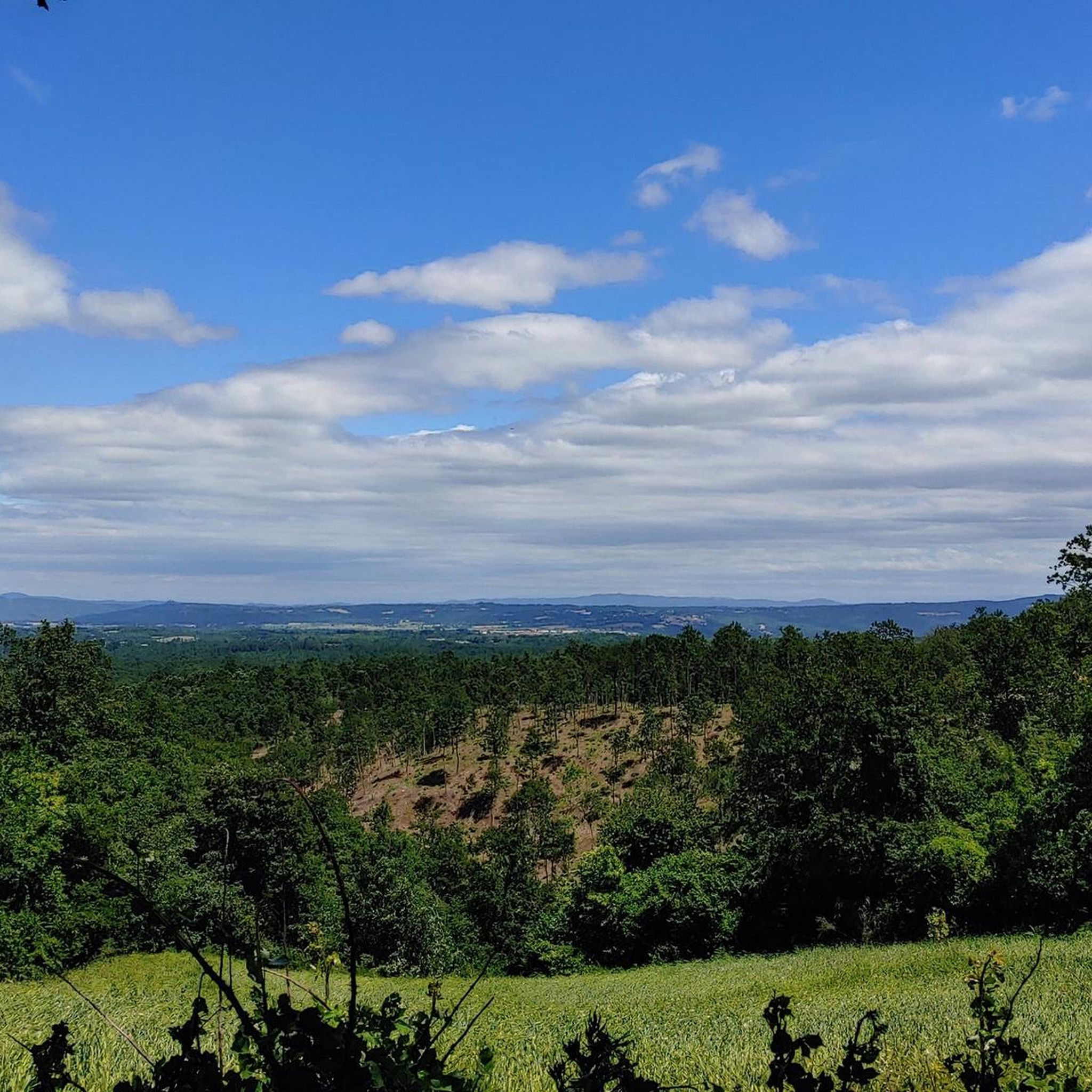
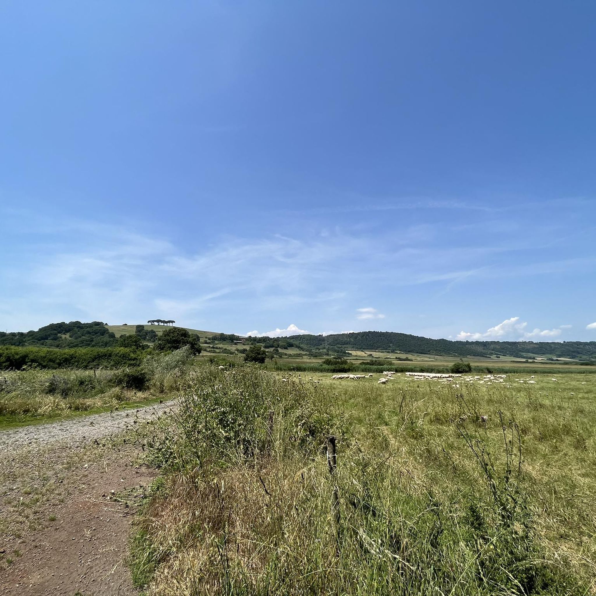
Jogging in Sic Caldera Di Latera offers routes through a landscape shaped by its volcanic origins, featuring undulating terrain and varied natural surroundings. The region provides opportunities to explore local countryside and historical points of interest on foot. Paths often traverse open areas and can include gentle ascents and descents.
Best jogging routes in Sic Caldera Di Latera
- The most popular jogging route is Running loop from Castello di Santa Cristina, a 4.6 miles (7.4 km) trail that takes…
Last updated: June 24, 2026
47
runners
10.6km
01:06
10m
10m
Moderate run. Good fitness required. Mostly paved surfaces. Suitable for all skill levels.
9
runners
10.5km
01:09
130m
130m
Moderate run. Good fitness required. Mostly paved surfaces. Suitable for all skill levels.

Sign up for free
8
runners
5.31km
00:33
20m
20m
Moderate run. Good fitness required. Mostly paved surfaces. Suitable for all skill levels.
1.0
(1)
4
runners
7.35km
00:53
80m
80m
Moderate run. Good fitness required. Mostly paved surfaces. Suitable for all skill levels.
5
runners
4.21km
00:27
40m
40m
Easy run. Great for any fitness level. Mostly paved surfaces. Suitable for all skill levels.
Get access to more routes and recommendations from other explorers.
Sign up for free
Already have an account?
Our route recommendations are based on thousands of hikes, rides, and runs completed by other people on komoot.
Start today with a free account
Your next adventure awaits.
Login or Signup

Tips from the Community

Hiking during rainy days can be very slippery. It’s best to avoid walking above the caves, as there are several holes in the area.
0
0

The Vitozza Caves in Sorano offer a unique experience in nature and history. To maximize your time and enjoy this highlight to the fullest: Equipment: Make sure you wear comfortable, hiking shoes, as the terrain can be uneven. A flashlight or headlamp could be useful for exploring the darkest caves and discovering every detail. Opening hours: Check the opening hours before you go. Caves may only be accessible during certain times of the year or only at certain times of day. The best time: Sunrise or sunset are magical moments to explore the caves, when the light creates unique shadow effects and reflections. Furthermore, during the less crowded hours, you can enjoy the tranquility and beauty of the place without distractions. Clothing: Bring a backpack with water and a light snack. While caves can offer shelter from the summer sun, be sure to still bring sunscreen and a hat. Exploring the Vitozza Caves will be an unforgettable experience, so prepare properly and enjoy every moment of this adventure!
0
0

Vitozza, a significant rock settlement in the municipality of Sorano, has medieval roots, presumably at the end of the 11th century, around the castle built by the Aldobrandeschi. This castle structure is located in a rock settlement which probably saw settlements already in the Etruscan-Roman era. Over the centuries, Vitozza has passed through various dominations, including Orvieto, the Basques, the Aldobrandeschi, Siena and the Orsini. Despite its historical importance, the settlement suffered a slow decline and progressive abandonment, with the population moving to San Quirico in the sixteenth century. However, the Vitozza caves remained inhabited until the eighteenth century, as documented by the 1783 census conducted by the Lorena family. The history of Vitozza is today told through descriptive panels at the entrances to the caves, highlighting the people and families who lived there centuries ago.
2
0

Lake of volcanic origin, nestled at the foot of the Cimini Mountains. It is possible to bathe in its waters. In a few minutes you reach the beautiful historic center of Ronciglione which is the closest town
0
0

Free Parking - take some hiking boots in case you want to explore the area. Due to Mosquitos I would not recommend short pants in the summer time like early June July.
0
0

Lake Bolsena is located in Lazio, it is the fifth largest lake in Italy and is also the largest lake of volcanic origin in Europe. The main caldera, which has taken on the characteristic elliptical shape typical of lakes of volcanic origin, is set in the mountainous-hilly group of the Volsini Mountains. The formation of Lake Bolsena was very turbulent. The volcanic system of the Volsini, following the eruptions, emptied of magmatic material and ended up collapsing on itself creating a large caldera which over the years was filled with water. it is largely powered by rainwater. The only emissary is the Marta stream which flows into the Tyrrhenian Sea. Two islands emerge within Lake Bolsena: Bisentina Island and Martana Island.
1
0

Nice section along the lake with nice places to swim.
1
0

Dirt road that runs along the lake of Bolsena, very beautiful and relaxing
2
0
Frequently Asked Questions
How many running routes are available in Sic Caldera Di Latera?
There are over 30 dedicated running routes in Sic Caldera Di Latera, offering a variety of options for different preferences and fitness levels.
Are there easy running routes for beginners in the region?
Yes, Sic Caldera Di Latera offers a few easy running routes suitable for beginners. For example, the Running loop from Castello di Santa Cristina is a moderate 4.6-mile (7.4 km) trail, which can be a good starting point for those looking for a less strenuous run.
What are the typical lengths of running routes in Sic Caldera Di Latera?
The running routes in Sic Caldera Di Latera vary in length. Many popular routes are between 4 to 7 miles (6 to 11 km). For instance, the San Quirico loop from Cerreto is 7.0 miles (11.3 km), while the Running loop from Grotte di Castro is 3.9 miles (6.3 km).
Is parking available near the running trails?
Parking availability varies by trailhead. Many routes start from villages or points of interest where public parking might be accessible. It's advisable to check the specific route details on komoot for information regarding parking at the starting point of your chosen run.
Can I reach the running trails by public transport?
Access to running trails by public transport in Sic Caldera Di Latera can be limited, as many routes traverse rural areas. While some villages may have bus connections, it's often more convenient to reach trailheads by car. We recommend checking local public transport schedules for specific starting points.
Are dogs allowed on the running trails?
Generally, dogs are welcome on trails in Sic Caldera Di Latera, especially in rural and open areas. However, it's always best to keep them on a leash, particularly near livestock or in nature reserves, and to clean up after them. Always respect local signage regarding pet policies.
Are there challenging running trails for experienced runners?
Yes, while many routes are moderate, there are also more challenging options available. The volcanic landscape of Sic Caldera Di Latera offers undulating terrain with ascents and descents that can provide a good workout for experienced runners. There are 4 difficult routes in the region for those seeking a greater challenge.
When is the best time of year to go running in Sic Caldera Di Latera?
The best time for running in Sic Caldera Di Latera is typically during the spring (April-June) and autumn (September-October) months. During these periods, the weather is milder, and the natural scenery is particularly vibrant. Summer can be quite hot, especially midday, so early morning or late afternoon runs are recommended then.
Can I go running in Sic Caldera Di Latera during winter?
Running in Sic Caldera Di Latera during winter is possible, but conditions can vary. While heavy snowfall is rare, trails might be muddy or slippery after rain. Dress in layers and be prepared for cooler temperatures. Always check local weather forecasts before heading out.
Do the running routes offer scenic viewpoints?
Many running routes in Sic Caldera Di Latera traverse the caldera's rim and surrounding countryside, offering scenic views of the volcanic landscape, rolling hills, and local villages. The open nature of many trails provides ample opportunities for panoramic vistas.
What do other runners enjoy the most about jogging in Sic Caldera Di Latera?
The area is highly rated by the komoot community, with an average score of 3.5 stars from over 10 reviews. Runners often praise the varied terrain, the peaceful countryside, and the opportunity to explore the unique volcanic landscape. The mix of open fields and local villages provides an engaging running experience.
Are there circular running routes available?
Yes, many of the running routes in Sic Caldera Di Latera are designed as circular loops, allowing you to start and finish at the same point. Examples include the Fornace loop from Cerreto and the Running loop from Terme di Sorano residence, which are convenient for exploration.
Most popular routes in Sic Caldera Di Latera

Get inspired with the komoot mobile app


Explore more
Browse the best Running Trails & Routes in other regions.
