The best walks and hikes in Sic Caldera Di Latera
4.6
(604)
2,699
hikers
80
hikes
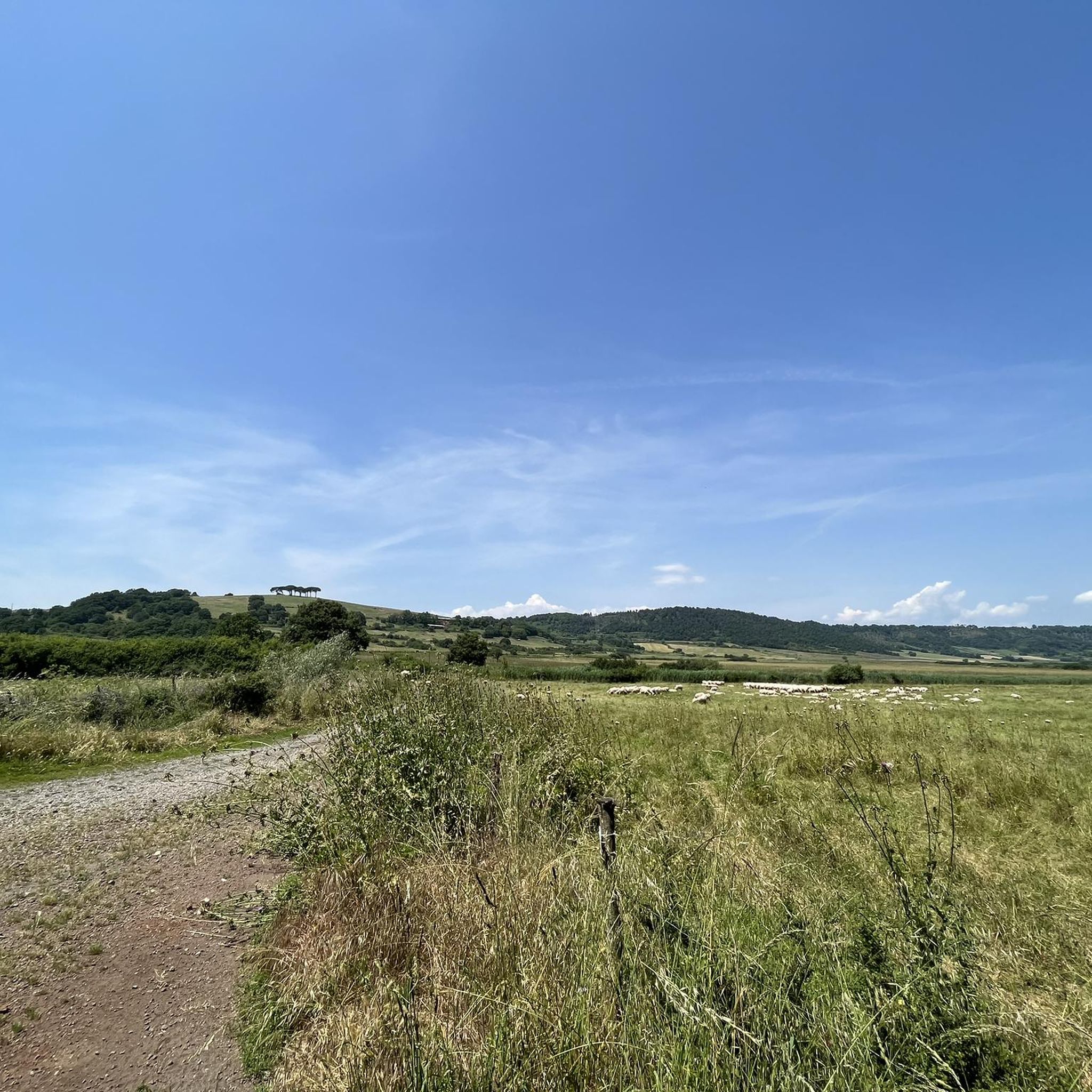
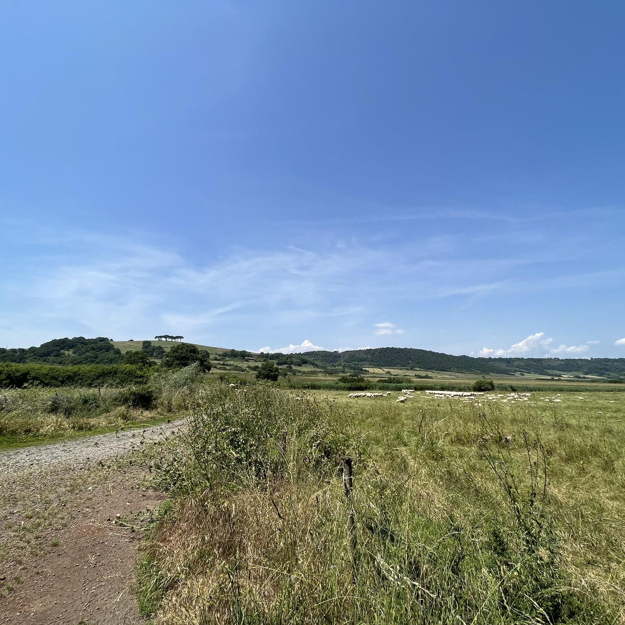
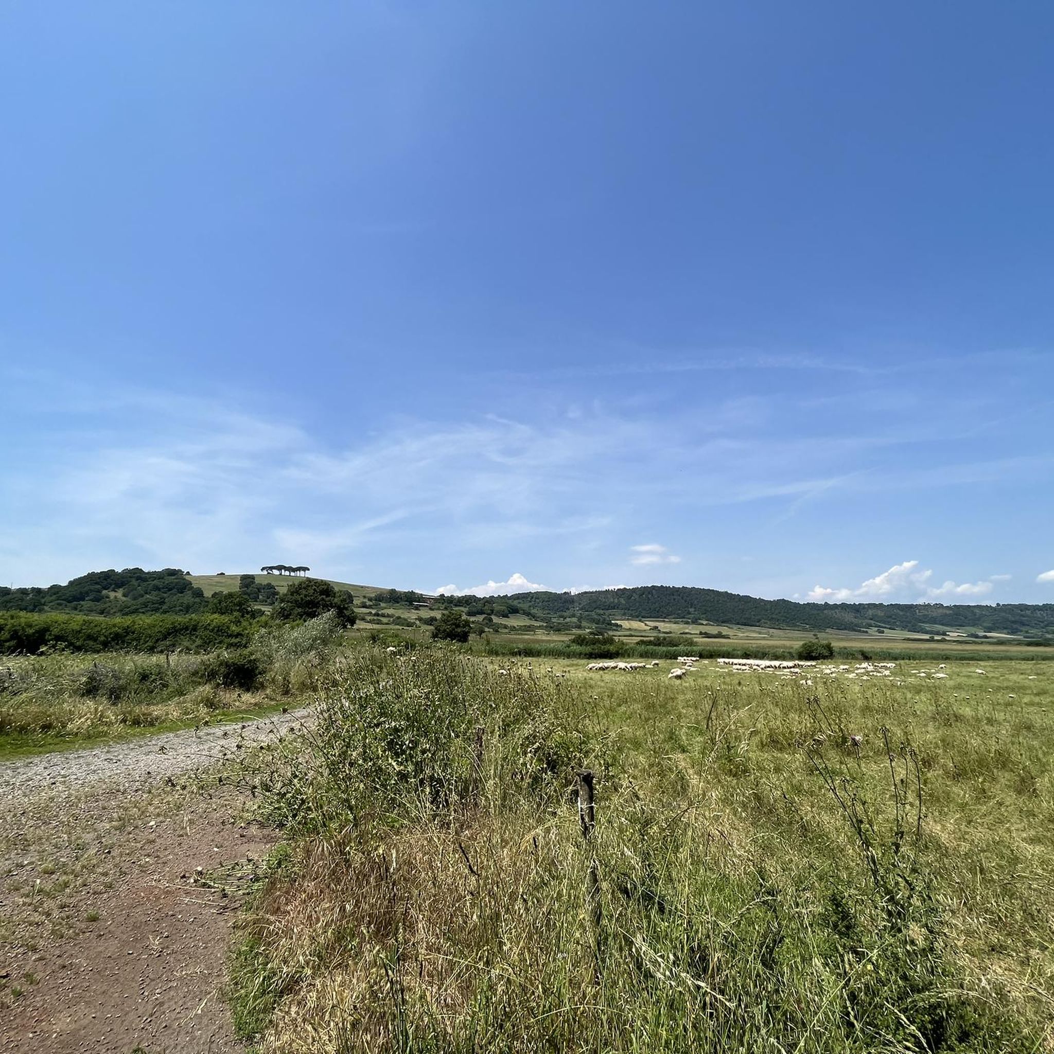
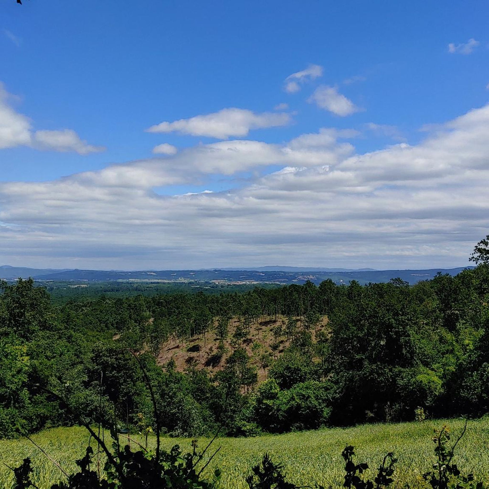
Hiking in Sic Caldera Di Latera offers a diverse environment shaped by its volcanic origins. The region features an elliptical caldera, approximately nine kilometers long, with margins rising about 200 meters above its flat bottom. Landscapes include arid grass pastures, Mediterranean plants, and mixed forests of turkey oaks, downy oaks, and field maples. This area is recognized for its environmental and local biodiversity, providing varied terrain for outdoor activities.
Best hiking trails in Sic Caldera Di Latera
- The most popular…
Last updated: June 25, 2026
4.2
(6)
16
hikers
9.96km
02:44
160m
150m
Moderate hike. Good fitness required. Easily-accessible paths. Suitable for all skill levels.
4.7
(6)
14
hikers
7.66km
02:08
140m
140m
Moderate hike. Good fitness required. Easily-accessible paths. Suitable for all skill levels.

Sign up for free
4.2
(6)
17
hikers
9.90km
02:43
150m
160m
Moderate hike. Good fitness required. Easily-accessible paths. Suitable for all skill levels.
6
hikers
12.2km
03:15
130m
130m
Moderate hike. Good fitness required. Easily-accessible paths. Suitable for all skill levels.
4.8
(21)
119
hikers
Easy hike. Great for any fitness level. Easily-accessible paths. Suitable for all skill levels.
Get access to more routes and recommendations from other explorers.
Sign up for free
Already have an account?
Our route recommendations are based on thousands of hikes, rides, and runs completed by other people on komoot.
Start today with a free account
Your next adventure awaits.
Login or Signup

Tips from the Community

Fortification at the bottom of the tuff spur, located to the Northwest.
0
0

Hiking during rainy days can be very slippery. It’s best to avoid walking above the caves, as there are several holes in the area.
0
0
Hiking during rainy days can be very slippery. It’s best to avoid walking above the caves, as there are several holes in the area.
0
0
Hiking during rainy days can be very slippery. It’s best to avoid walking above the caves, as there are several holes in the area.
0
0

Vitozza, a significant rock settlement in the municipality of Sorano, has medieval roots, presumably at the end of the 11th century, around the castle built by the Aldobrandeschi. This castle structure is located in a rock settlement which probably saw settlements already in the Etruscan-Roman era. Over the centuries, Vitozza has passed through various dominations, including Orvieto, the Basques, the Aldobrandeschi, Siena and the Orsini. Despite its historical importance, the settlement suffered a slow decline and progressive abandonment, with the population moving to San Quirico in the sixteenth century. However, the Vitozza caves remained inhabited until the eighteenth century, as documented by the 1783 census conducted by the Lorena family. The history of Vitozza is today told through descriptive panels at the entrances to the caves, highlighting the people and families who lived there centuries ago.
2
0

Vitozza is an important rock settlement located in the municipality of Sorano. Its location is in the south-eastern part of the municipal territory, a couple of kilometers north-west of the hamlet of San Quirico. The Vie Cave path is entirely cycleable, only the final part towards Sorano is more technical.
0
0
The Church The ruins of a medieval religious building, called La Chiesaccia, can be reached by turning right from the path coming from San Quirico, near the first fortress. Near the church, the ruins of another fortified building which performed defensive functions are visible on the northern side of the plateau, as well as the remains of a door which controlled access through the road parallel to the ridge. The religious building had to have a rectangular plan and a single hall with a semicircular apse.
0
0
Nice path towards the Lete houses, the last stretch is not practicable by bike.
1
0
Frequently Asked Questions
How many hiking trails are available in Sic Caldera Di Latera?
Sic Caldera Di Latera offers a wide range of hiking opportunities, with over 60 routes available. These trails cater to various skill levels, from easy paths to more challenging ascents, ensuring there's something for everyone.
What makes hiking in Sic Caldera Di Latera unique?
Hiking in Sic Caldera Di Latera is unique due to its distinctive volcanic origins, featuring an elliptical caldera nearly nine kilometers long. The landscape is incredibly diverse, ranging from arid grass pastures and Mediterranean plants to mixed forests. This rich environment is recognized for its exceptional biodiversity, offering a truly immersive natural experience.
Are there easy hiking trails suitable for beginners or families?
Yes, Sic Caldera Di Latera has numerous easy trails perfect for beginners or families. For instance, the Descent to the Valley of the Lente – Vitozza loop from San Quirico is an easy 2.6-mile (4.1 km) path that can be completed in just over an hour, offering varied landscapes without significant elevation gain.
What are some more challenging hiking options in Sic Caldera Di Latera?
For those seeking a challenge, Sic Caldera Di Latera offers several difficult routes. A notable option is the La Chiesaccia Ruins – Two-Level Cave loop from Povicione nuovo, which is a demanding 12.2-mile (19.6 km) trail with over 1,100 feet (338 meters) of elevation gain, requiring good fitness and sure-footedness.
Can I find circular hiking routes in Sic Caldera Di Latera?
Yes, many trails in Sic Caldera Di Latera are designed as circular routes, allowing you to start and end at the same point. An example is the Church of San Clemente loop from Latera, a moderate 4.8-mile (7.7 km) path that showcases local terrain and cultural landmarks.
What kind of wildlife can I expect to see while hiking?
Sic Caldera Di Latera is a haven for wildlife, especially birdlife. Hikers might spot birds of prey like the hen harrier, black kite, and Eurasian hobby. Sparrows such as the calandra lark, ortolan, and quail frequent the steppe areas, and the common tortoise can also be found among the reptiles.
Are there any historical or cultural attractions to explore along the trails?
Beyond its natural beauty, Sic Caldera Di Latera features several historical and cultural points of interest. You can encounter churches like the Church of San Clemente, Church of San Rocco, and Church of St. Joseph, as well as historical structures such as the Bridge Fountain and the Farnese Building, adding a cultural dimension to your hike.
Is Sic Caldera Di Latera suitable for dog-friendly hikes?
While specific regulations for dogs are not detailed, the region's extensive network of trails through unspoiled nature and diverse forests generally provides a welcoming environment for hikers with dogs. Always ensure your dog is under control and respect local wildlife and other hikers.
What do other hikers enjoy the most about hiking in Sic Caldera Di Latera?
The hiking experience in Sic Caldera Di Latera is highly rated by the komoot community, with an average score of 4.6 stars from over 500 reviews. Hikers frequently praise the diverse landscapes, from volcanic features to rich forests, and the variety of routes suitable for all abilities.
What types of forests and plants can be found in the caldera?
The caldera boasts diverse forests, including turkey oaks, downy oaks, field maple, manna ash, wild service tree, hop hornbeam, and dogwood. In cooler or lakeside areas, you might also find chestnut, white hornbeam, hazelnut, durmast oak, beech, and wild cherry trees, alongside Mediterranean plants and arid grass pastures.
Are there any routes that offer views of the caldera's volcanic features?
Many routes within Sic Caldera Di Latera traverse its unique volcanic landscape. The caldera itself is an elliptical depression with margins rising approximately 200 meters, and trails often provide views of its recognizable craters and the distinctive terrain shaped by past eruptions. The Trail of the Brigands Stage 6, for example, offers a moderate journey through these unspoiled natural landscapes.
Most popular routes in Sic Caldera Di Latera

Get inspired with the komoot mobile app


Explore more
Browse the best Hikes in other regions.
