The best road cycling routes in Selva Di Cupigliolo
5.0
(2)
228
riders
12
rides
Road cycling in Selva Di Cupigliolo offers routes through Umbria's varied topography, characterized by rolling hills, dense forests, and river valleys. The region features panoramic roads that traverse olive groves and vineyards, providing diverse terrain for cyclists. While some routes offer gentle gradients, others include challenging ascents and descents within the Apennine mountain range. This area provides a range of road cycling experiences, from scenic rides along valleys to more demanding climbs.
Best road cycling routes in Selva Di Cupigliolo
…Last updated: July 8, 2026
11
riders
59.9km
03:12
1,150m
1,150m
Hard road ride. Very good fitness required. Mostly well-paved surfaces and easy to ride.
10
riders
Hard road ride. Very good fitness required. Mostly well-paved surfaces and easy to ride.

Sign up for free
5
riders
118km
06:16
2,240m
2,240m
Hard road ride. Very good fitness required. Mostly well-paved surfaces and easy to ride.
5.0
(1)
7
riders
17.0km
00:41
90m
90m
Easy road ride. Great for any fitness level. Mostly well-paved surfaces and easy to ride.
160
riders
114km
05:47
1,860m
1,860m
Hard road ride. Very good fitness required. Mostly well-paved surfaces and easy to ride.
Get access to more routes and recommendations from other explorers.
Sign up for free
Already have an account?
Our route recommendations are based on thousands of hikes, rides, and runs completed by other people on komoot.
Start today with a free account
Your next adventure awaits.
Login or Signup
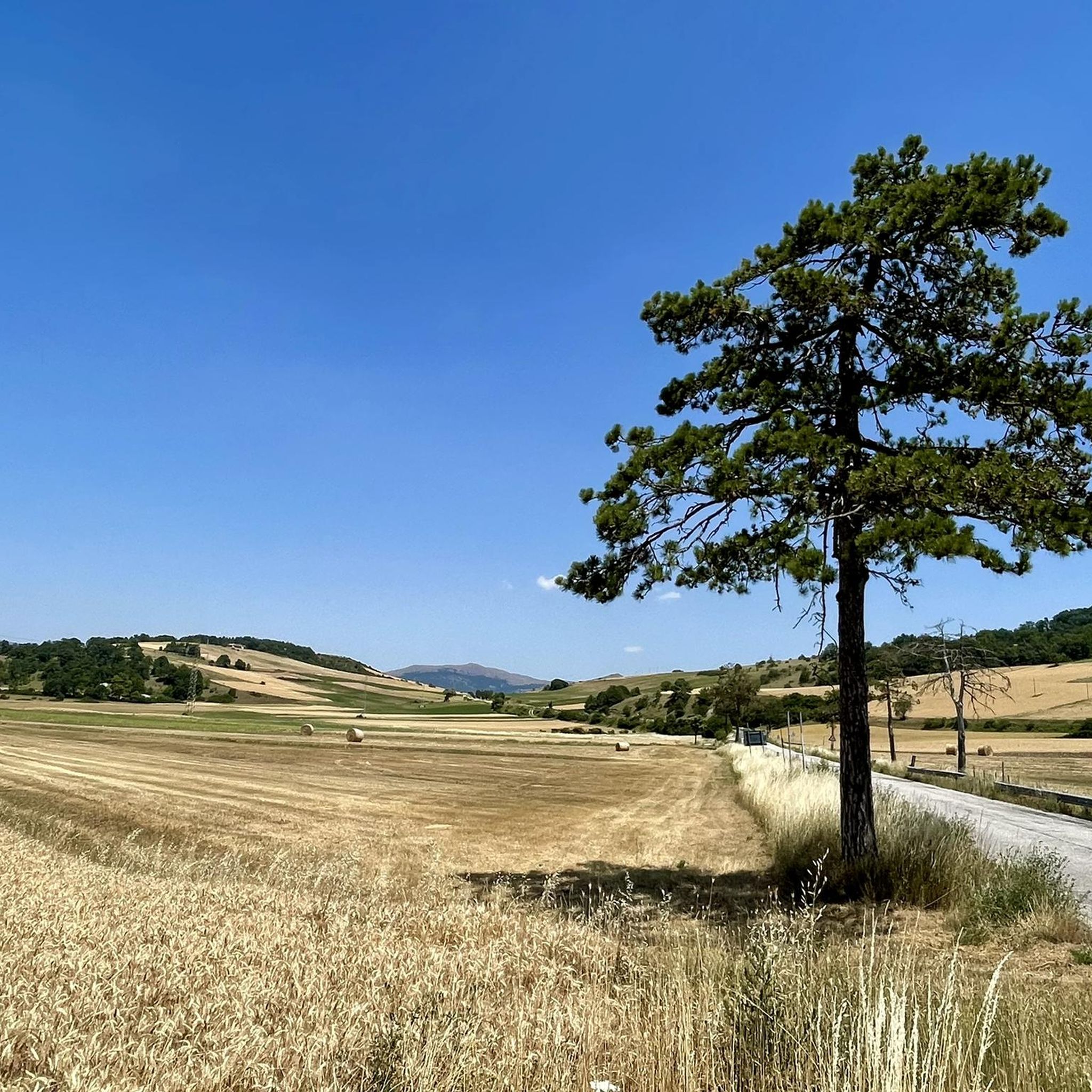
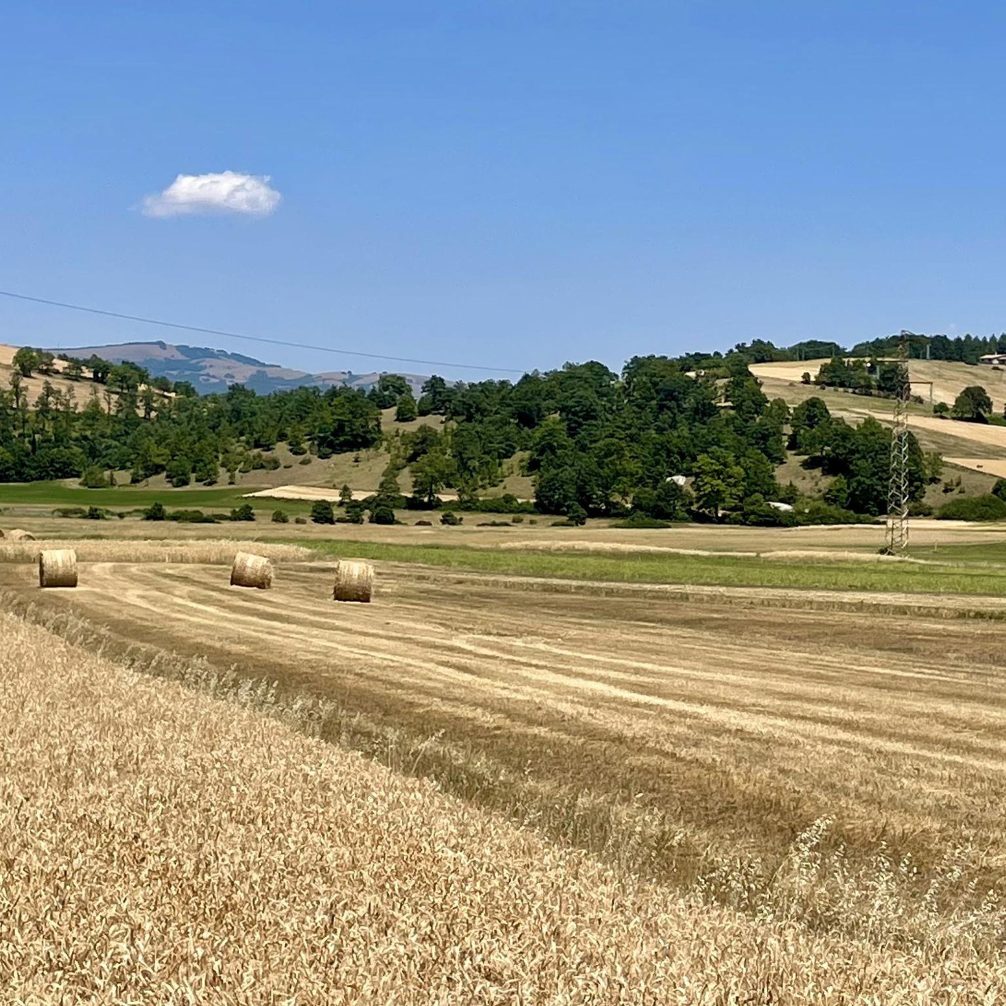
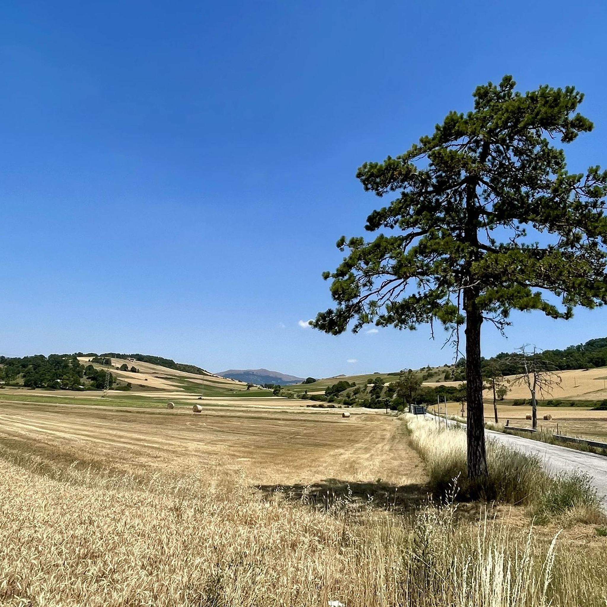
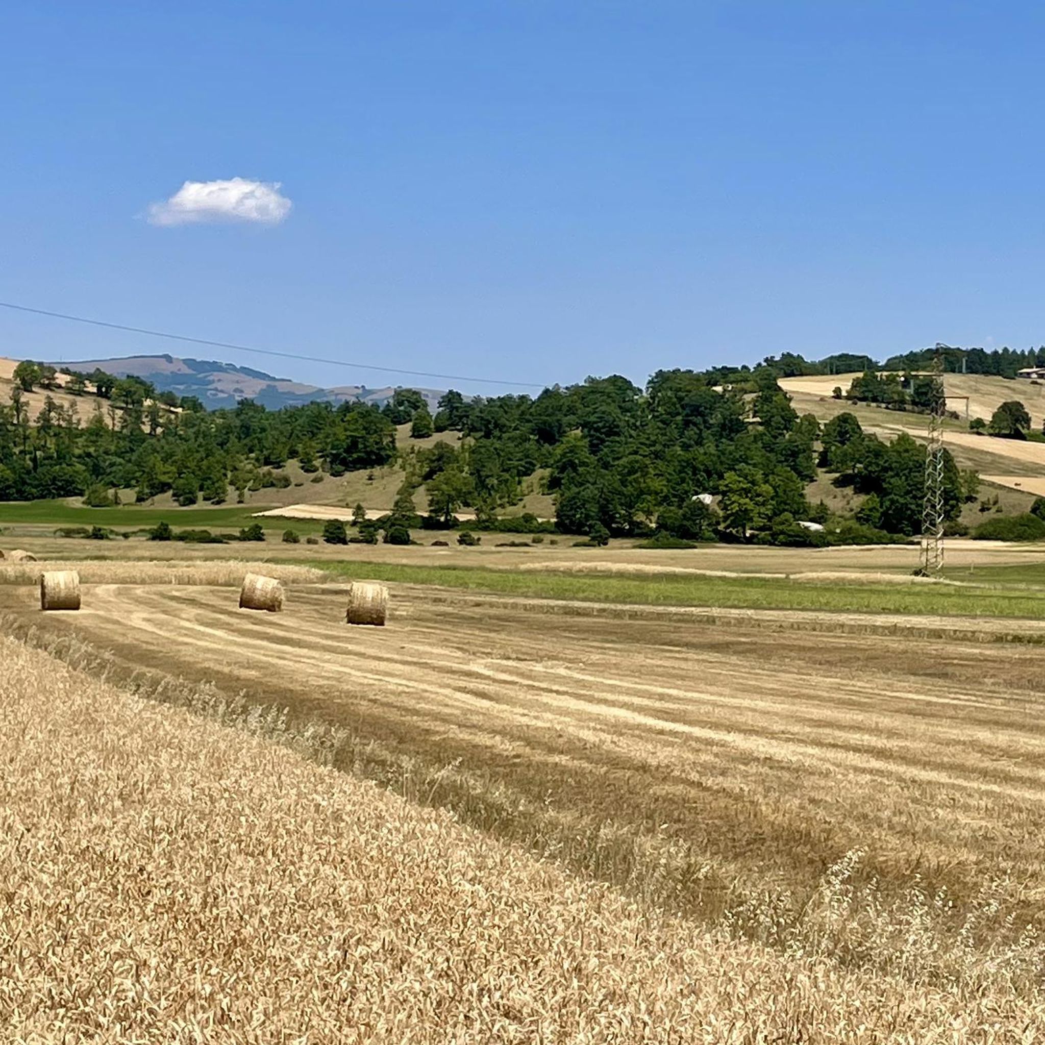

Tips from the Community

RASIGLIA, 648 meters above sea level, is located about 17 km above Foligno. Recently known as the "Borgo dei Streams" or the "Venice of Umbria" due to the streams that flow through the small village.
0
0

A WONDERFUL SMALL VILLAGE THAT WILL LEAVE YOU OPEN-MOUTHED
0
0

RASIGLIA is a micro village crossed by streams and canals. It can be visited in a few minutes, but it is worth the detour. A bit chaotic to walk there during the weekends, because it is packed with tourists.
0
0

A beautiful town on the border with Abruzzo.
14
0

Colfiorito is the largest town on the vast plateau of about 300 hectares where it is located, at an altitude of 781 m above sea level, along the Strada statale 77 della Val di Chienti that connects Foligno to Civitanova Marche; part of the plateau falls within the territory of the municipality of Serravalle di Chienti, in the province of Macerata. The karst plateau derives from the draining of seven lake basins, of which only the marsh remains. Colfiorito, according to Istat data from the 2001 census, has about 400 residents. If you want to continue on internal roads that lead back to Foligno instead of returning on the SS 77 (a bit busy) you pass through the town and from there you move among the beautiful green and fresh hills.
3
0
Frequently Asked Questions
How many road cycling routes are available in Selva Di Cupigliolo?
Selva Di Cupigliolo offers a selection of 12 road cycling routes, catering to various skill levels. These routes are highly regarded by the komoot community, with an average rating of 4.9 stars from over 5 reviews.
What kind of terrain can I expect when road cycling in Selva Di Cupigliolo?
The region of Umbria, where Selva Di Cupigliolo is located, is characterized by a diverse topography. You can expect rolling hills, verdant valleys, and dense forests. Routes often traverse olive groves and vineyards, with some featuring challenging ascents and descents within the Apennine mountain range. This variety provides both undulating rides and more demanding climbs.
Are there routes suitable for beginners or those looking for an easy ride?
Yes, there is at least 1 easy route available. For a gentle introduction to the area's countryside, consider the Fonte delle Mattinate – Colfiorito loop from Cesi. This 10.6-mile (17.0 km) trail is often completed in about 41 minutes and features minimal elevation gain.
What about more challenging road cycling routes?
For experienced cyclists seeking a challenge, Selva Di Cupigliolo offers 6 difficult routes. A notable option is the Lake Fiastra – Lake Caccamo loop from Colfiorito, a demanding 70.5-mile (113.4 km) path with substantial climbing, connecting two scenic lakes. Another challenging ride is the Menotre Waterfalls in Pale – Piazza Silvestri, Bevagna loop from Parco Regionale di Colfiorito, which covers 47.3 miles (76.1 km) and includes significant elevation gain.
Are there any circular road cycling routes in the area?
Yes, many of the routes in Selva Di Cupigliolo are designed as loops, allowing you to start and finish in the same location. Examples include the Fonte delle Mattinate – Colfiorito loop from Cesi for an easy ride, or the more challenging Passo Cornello – Fonte delle Mattinate loop from Colfiorito, which covers over 82 km.
What natural features or landmarks can I see along the road cycling routes?
Road cycling in this region offers access to stunning natural and historical sights. Routes often pass through picturesque medieval villages and along scenic river valleys. The broader Umbria region is home to the impressive Marmore Waterfall, Europe's highest artificial waterfall, and beautiful water bodies like Lake Trasimeno. You might also encounter parts of the Nera River valley, known for its scenic beauty.
What is the best time of year for road cycling in Selva Di Cupigliolo?
Umbria generally offers pleasant cycling conditions for much of the year. Spring and autumn are particularly ideal, with milder temperatures and beautiful landscapes. Summer can be warm, especially in July and August, so early morning rides are recommended. Winter cycling is possible but can be cooler, especially at higher elevations in the Apennines.
Is public transport available to access the cycling routes?
While specific public transport links directly to every trailhead might be limited, Umbria has a regional public transport network. For detailed information on bus and train services that might connect to towns near cycling routes, it's best to consult local transport providers or the Umbria Tourism website for up-to-date schedules and accessibility. You can find more general information about cycling in Umbria on Umbria Tourism.
Are there parking options for cyclists?
Many towns and villages in the Selva Di Cupigliolo area, which serve as starting points for routes, typically offer public parking facilities. It's advisable to check specific parking availability for your chosen starting point in advance, especially in smaller villages or during peak seasons. Larger towns like Colfiorito or Cesi, mentioned in some route descriptions, usually have designated parking areas.
Are there places to stop for refreshments or accommodation along the routes?
Yes, cycling routes in Umbria often pass through or near charming medieval villages and towns. These locations provide opportunities to stop for refreshments at local cafes, restaurants, or trattorias, and many offer accommodation options ranging from agriturismos to hotels. This allows cyclists to experience local cuisine and hospitality during their ride.
Are there family-friendly road cycling options?
While many road cycling routes involve varying degrees of elevation, some easier, shorter loops can be suitable for families with older children who are comfortable on road bikes. The Fonte delle Mattinate – Colfiorito loop from Cesi is an example of an easy route that could be considered. For younger children or those preferring dedicated paths, Umbria also boasts green cycleways like the Cycleway Assisi-Spoleto-Norcia, which might be a better fit.
What do other road cyclists say about the routes in Selva Di Cupigliolo?
The road cycling routes in Selva Di Cupigliolo are highly rated by the komoot community, with an impressive average score of 4.9 stars from more than 5 reviews. Over 300 road cyclists have used komoot to explore this varied terrain. Reviewers often praise the region's panoramic roads, diverse landscapes, and the blend of challenging climbs with scenic valley rides.
Most popular routes in Selva Di Cupigliolo

Get inspired with the komoot mobile app


Explore more
Browse the best Road cycling routes in other regions.
