The best running trails in Naturschutzgebiet Seekar Und Bärental
5.0
(6)
362
runners
25
runs
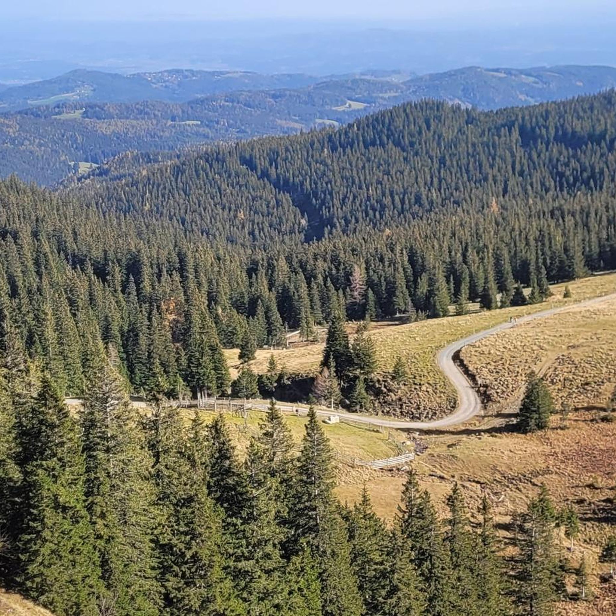
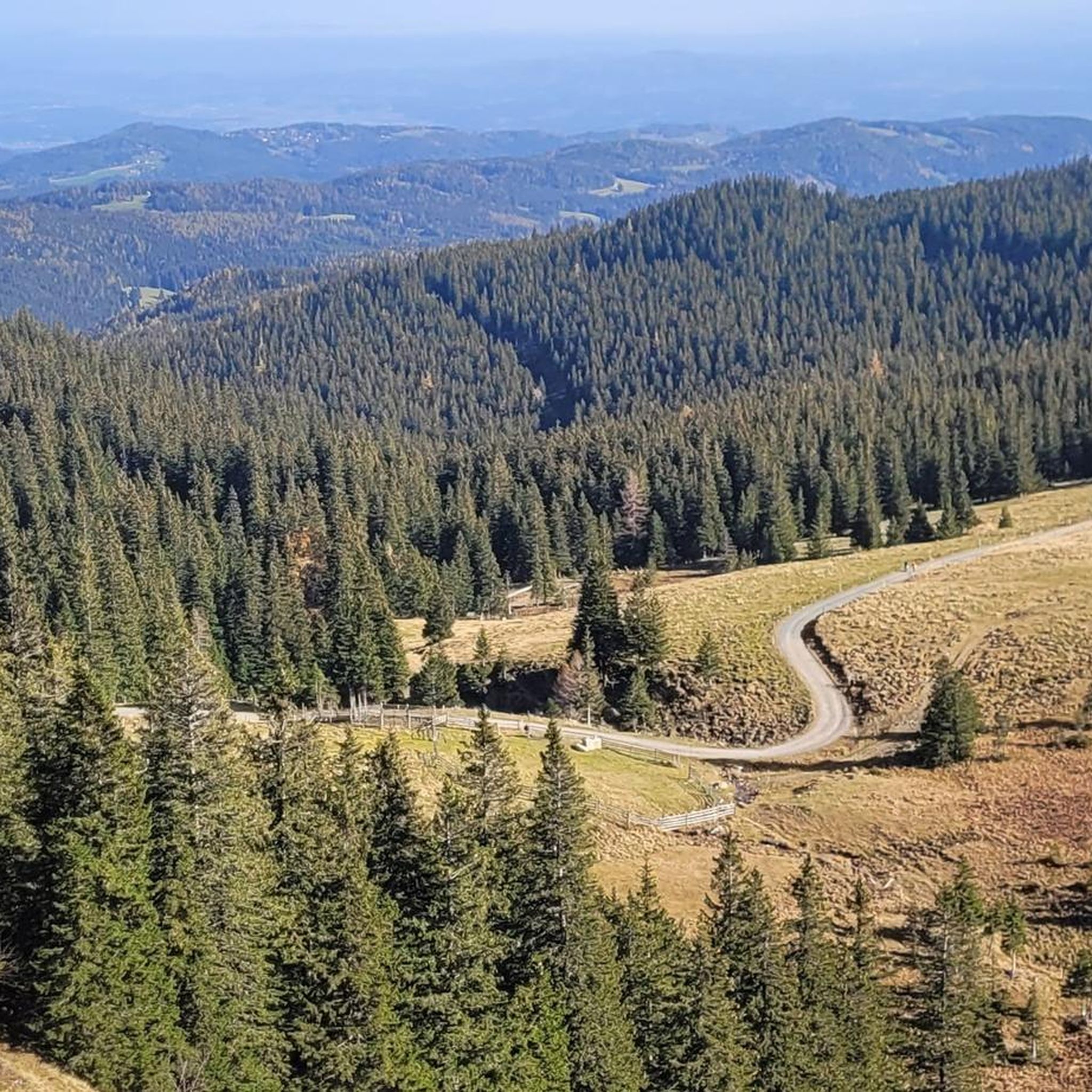
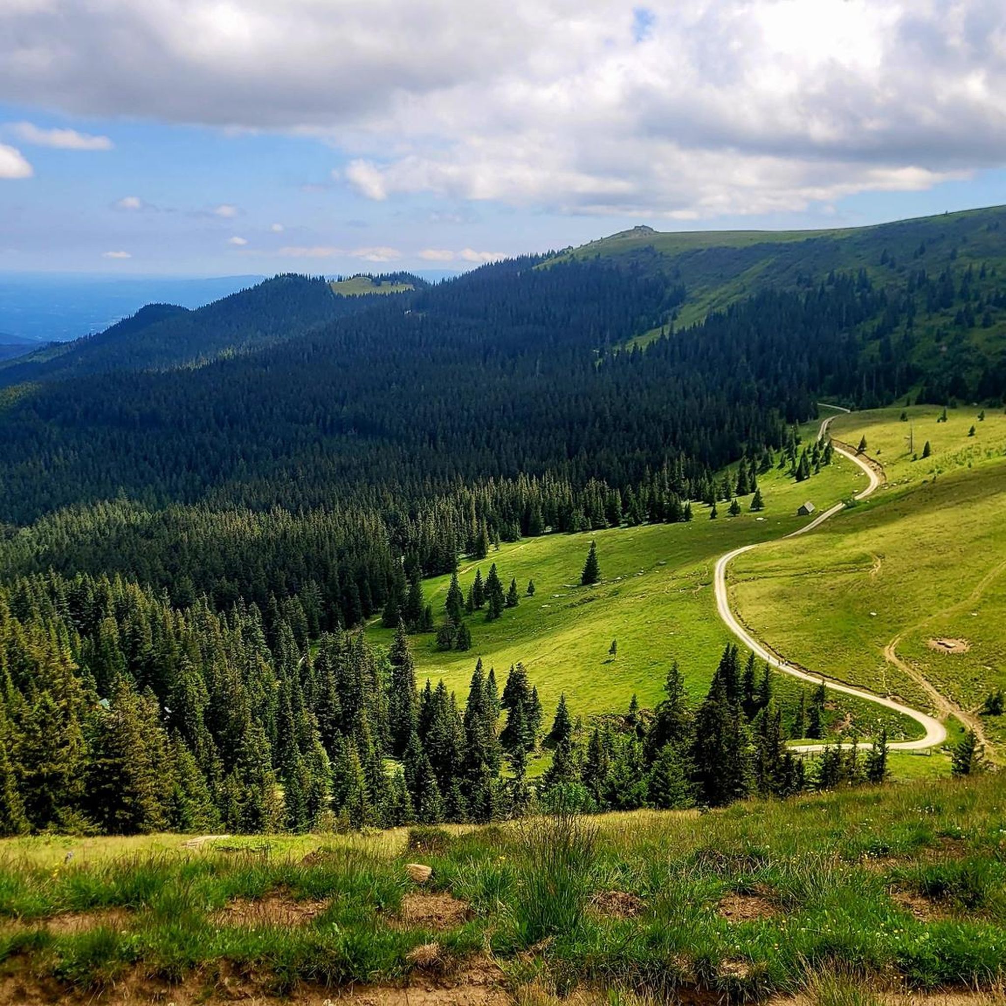
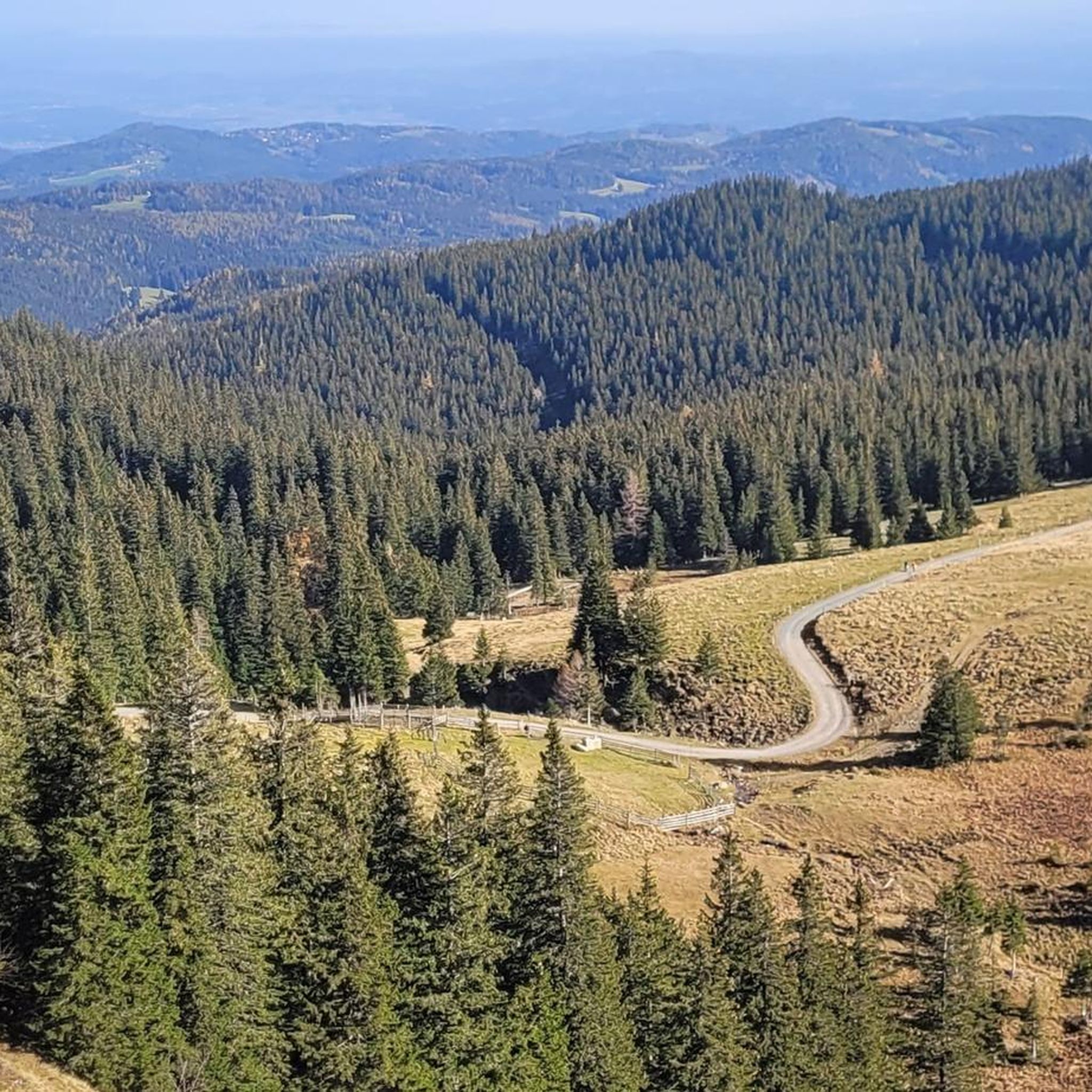
Jogging routes in Naturschutzgebiet Seekar Und Bärental traverse diverse alpine landscapes within the Koralpe mountain range in Styria, Austria. The region is characterized by prominent mountain peaks such as Kleiner and Großer Speikkogel, gentle ridges, and expansive alpine meadows. Several streams, including the Seebach and Payerlbach, originate from the eastern slopes, contributing to varied ecosystems. Geologically, features like the "Ofengwölb" plate gneiss fold near Seespitz add to the unique terrain.
Best jogging routes in Naturschutzgebiet Seekar Und Bärental
- The most…
Last updated: July 9, 2026
17
runners
20.1km
03:05
890m
900m
Hard run. Very good fitness required. Sure-footedness, sturdy shoes and alpine experience required.
6
runners
15.8km
02:17
640m
640m
Hard run. Very good fitness required. Sure-footedness, sturdy shoes and alpine experience required.

Sign up for free
7
runners
8.18km
00:58
190m
190m
Hard run. Good fitness required. Sure-footedness, sturdy shoes and alpine experience required.
5.0
(1)
48
runners
16.1km
02:20
560m
560m
Hard run. Very good fitness required. Sure-footedness, sturdy shoes and alpine experience required.
11
runners
8.10km
01:07
300m
300m
Moderate run. Good fitness required. Mostly paved surfaces. Suitable for all skill levels.
Get access to more routes and recommendations from other explorers.
Sign up for free
Already have an account?
Our route recommendations are based on thousands of hikes, rides, and runs completed by other people on komoot.
Start today with a free account
Your next adventure awaits.
Login or Signup
Popular around Naturschutzgebiet Seekar Und Bärental
Tips from the Community

The Großhöllerhütte has a great view, super service, and an excellent Jause.
0
0

Especially beautiful in winter when the ice is horizontal at the radar station.
2
0

Nice view, an easy to reach summit. It is actually a grassy summit and there is a small collection of rocks at the top near the summit cross.
0
0

I ask the next friendly hiker who reads this beforehand to take a summit book and a new pen for the summit, because the book is unfortunately full and the pen is already very old 🖊️📒 Thank you very much!
2
0
I ask the next friendly hiker who reads this beforehand to take a summit book and a new pen for the summit, because the book is unfortunately full and the pen is already very old 🖊️📒 Thank you very much!
9
1
The summit cross collapsed in January 2014 due to heavy snow and ice loads. On June 6, 2014, the cross was re-erected in its old form made of oak wood and was ceremoniously inaugurated on July 5, 2014 by Dean Engelbert Hofer and Pastor Eugen Länger ✝️ http://www.kleindenkmaeler.at/detail/gipfelkreuz_grosser_speikkogel
8
0
The summit cross collapsed in January 2014 due to heavy snow and ice loads. On June 6, 2014, the cross was re-erected in its old form made of oak wood and was ceremoniously inaugurated on July 5, 2014 by Dean Engelbert Hofer and Pastor Eugen Länger ✝️ http://www.kleindenkmaeler.at/detail/gipfelkreuz_grosser_speikkogel
2
0
Frequently Asked Questions
How many running routes are available in Naturschutzgebiet Seekar Und Bärental?
There are over 25 dedicated running routes in Naturschutzgebiet Seekar Und Bärental, offering a variety of distances and difficulty levels for runners.
What is the typical difficulty level of running routes in this region?
The running routes in Naturschutzgebiet Seekar Und Bärental are predominantly challenging, with 14 difficult and 11 moderate routes. There is also 1 easy route available, making it suitable for various fitness levels.
Are there circular running routes in Naturschutzgebiet Seekar Und Bärental?
Yes, many of the running routes in the region are circular. For example, the Summit cross on Moschkogel – Poms Waterfall loop from Weinebene and the Bärentalhütte – Grünanger Hut (1560 m) loop from Weinebene are popular circular options.
What kind of scenery can I expect on the running trails?
The routes traverse diverse alpine landscapes within the Koralpe mountain range, featuring prominent peaks like Kleiner and Großer Speikkogel, gentle ridges, and expansive alpine meadows. You'll also encounter streams like the Seebach and Payerlbach.
Are there any interesting landmarks or points of interest along the running routes?
Yes, you can discover several points of interest. For instance, the Bärentalhütte – Grünanger Hut (1560 m) loop from Weinebene passes by the Bärentalhütte and the Grünanger Hut (1560 m). Other notable sights include the Stone Cairn at the Foot of Seespitz and the Loskogel Summit Cross.
What do other runners say about the trails in Naturschutzgebiet Seekar Und Bärental?
The running routes in Naturschutzgebiet Seekar Und Bärental are highly rated by the komoot community, with an average score of 5.0 stars from over 6 reviews. Runners often praise the varied alpine terrain and the challenging yet rewarding climbs.
Is parking available near the trailheads in Naturschutzgebiet Seekar Und Bärental?
While specific parking details for each trailhead vary, areas like Weinebene, which serves as a common starting point for many routes, typically offer parking facilities for visitors accessing the trails.
Can I reach the running trails by public transport?
Access to Naturschutzgebiet Seekar Und Bärental by public transport can be limited due to its alpine nature. It's advisable to check local bus schedules or consider driving to key access points like Weinebene.
Are dogs allowed on the running trails in Naturschutzgebiet Seekar Und Bärental?
As a nature reserve, specific rules for dogs may apply. Generally, dogs are permitted on trails if kept on a leash, but it's always best to check local signage or regulations for any restrictions, especially concerning wildlife protection.
When is the best time of year to go running in Naturschutzgebiet Seekar Und Bärental?
The best time for running is typically from late spring to early autumn (May to October) when the trails are clear of snow and the weather is most favorable. During winter, some routes may be covered in snow and require appropriate gear.
Are there options for winter running in Naturschutzgebiet Seekar Und Bärental?
While the region is known for its alpine character, winter running can be challenging due to snow and ice. Some lower elevation paths might be accessible, but higher routes would require specialized winter running gear and caution.
Are there any places to eat or drink along the running routes?
Yes, some routes pass by mountain huts where you can find refreshments. For example, the Bärentalhütte – Grünanger Hut (1560 m) loop from Weinebene goes past the Bärentalhütte and the Grünanger Hut (1560 m), which often offer food and drinks during peak season.
Most popular routes in Naturschutzgebiet Seekar Und Bärental
Most popular attractions in Naturschutzgebiet Seekar Und Bärental

Get inspired with the komoot mobile app


Explore more
Browse the best Running Trails & Routes in other regions.
