The best road cycling routes in Naturschutzgebiet Seekar Und Bärental
5.0
(1)
50
riders
6
rides
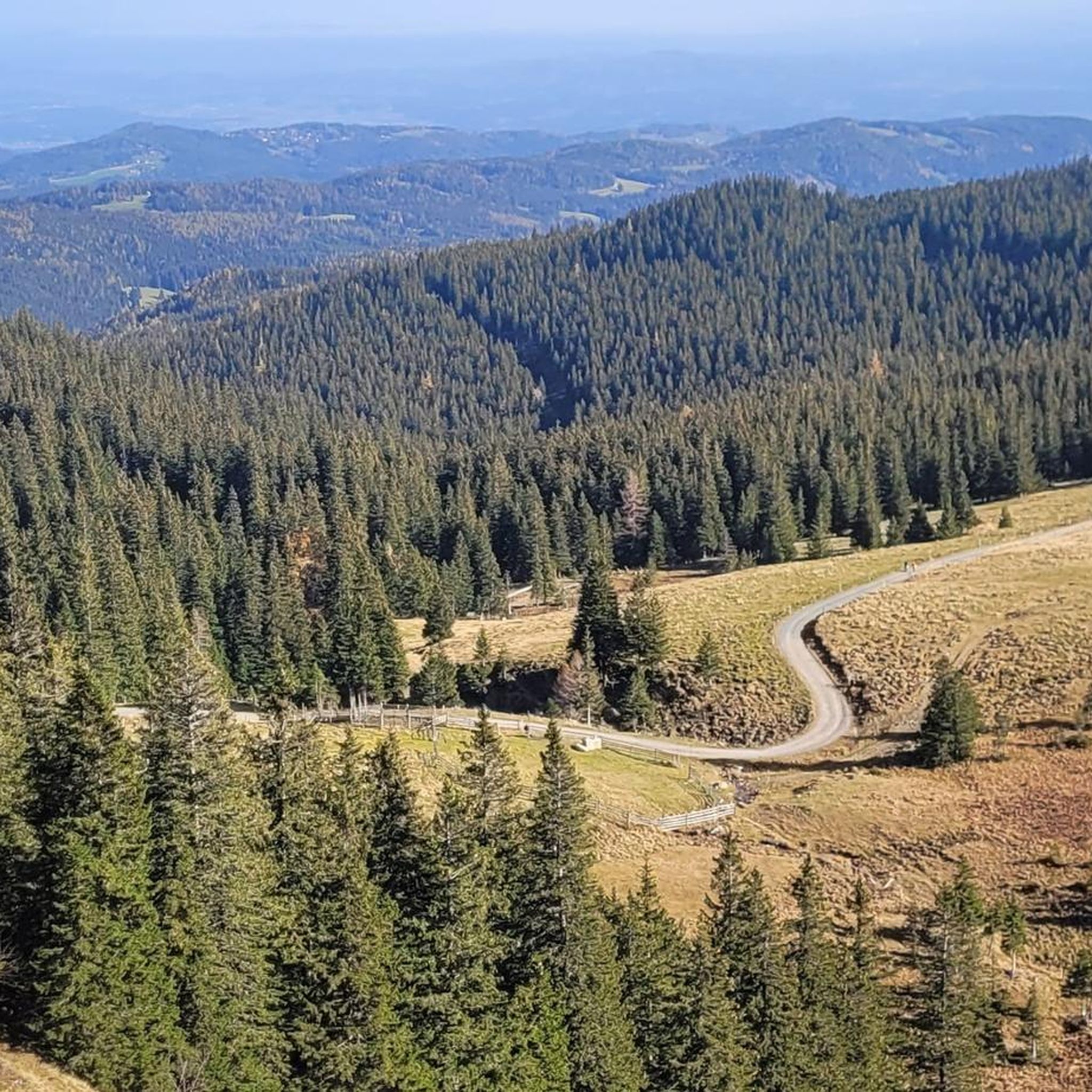
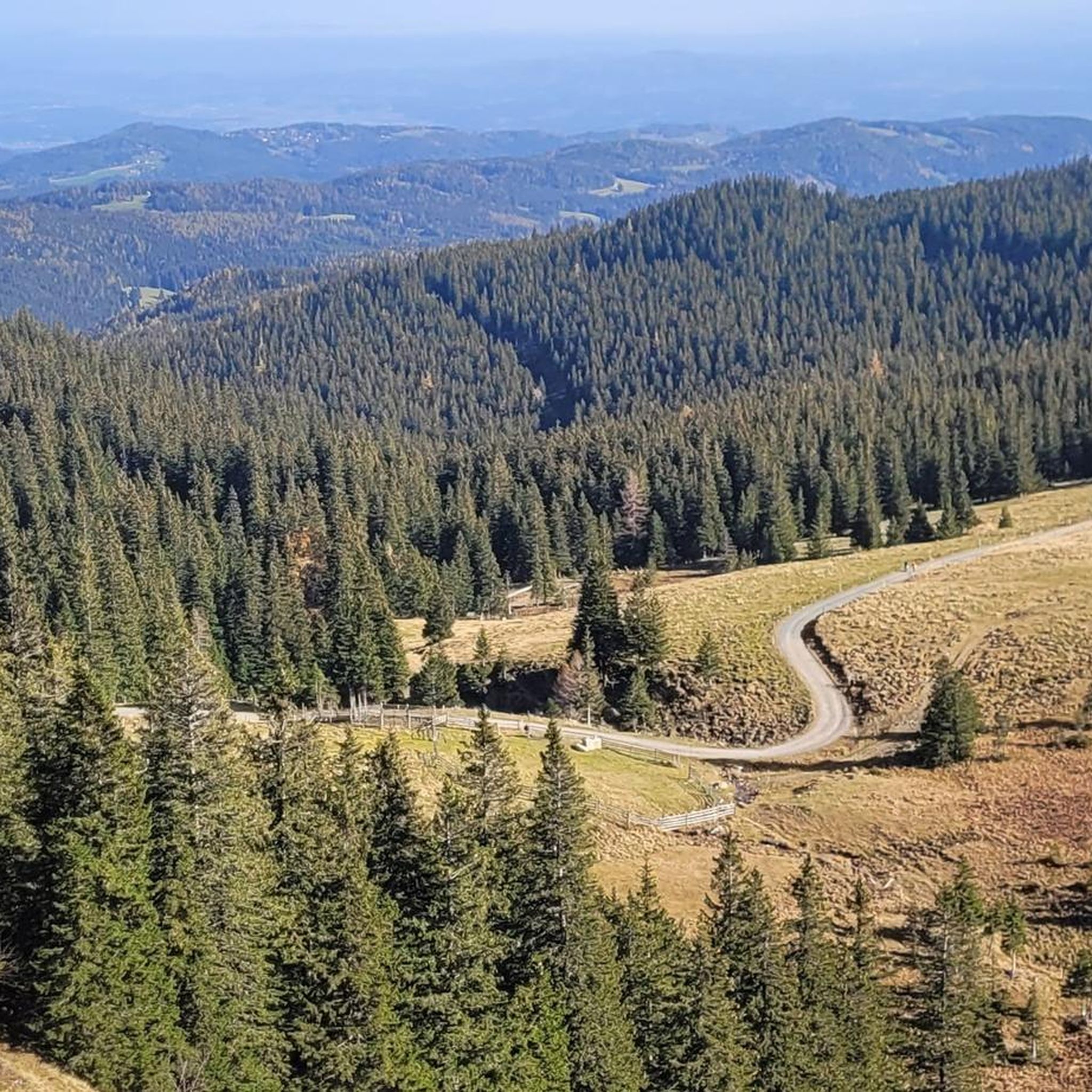
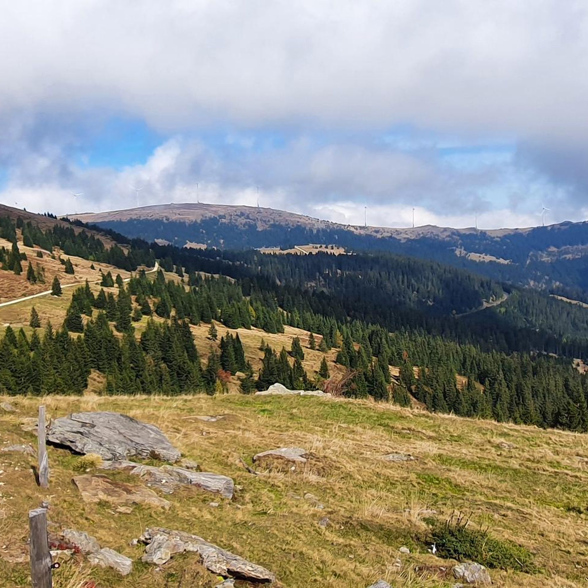
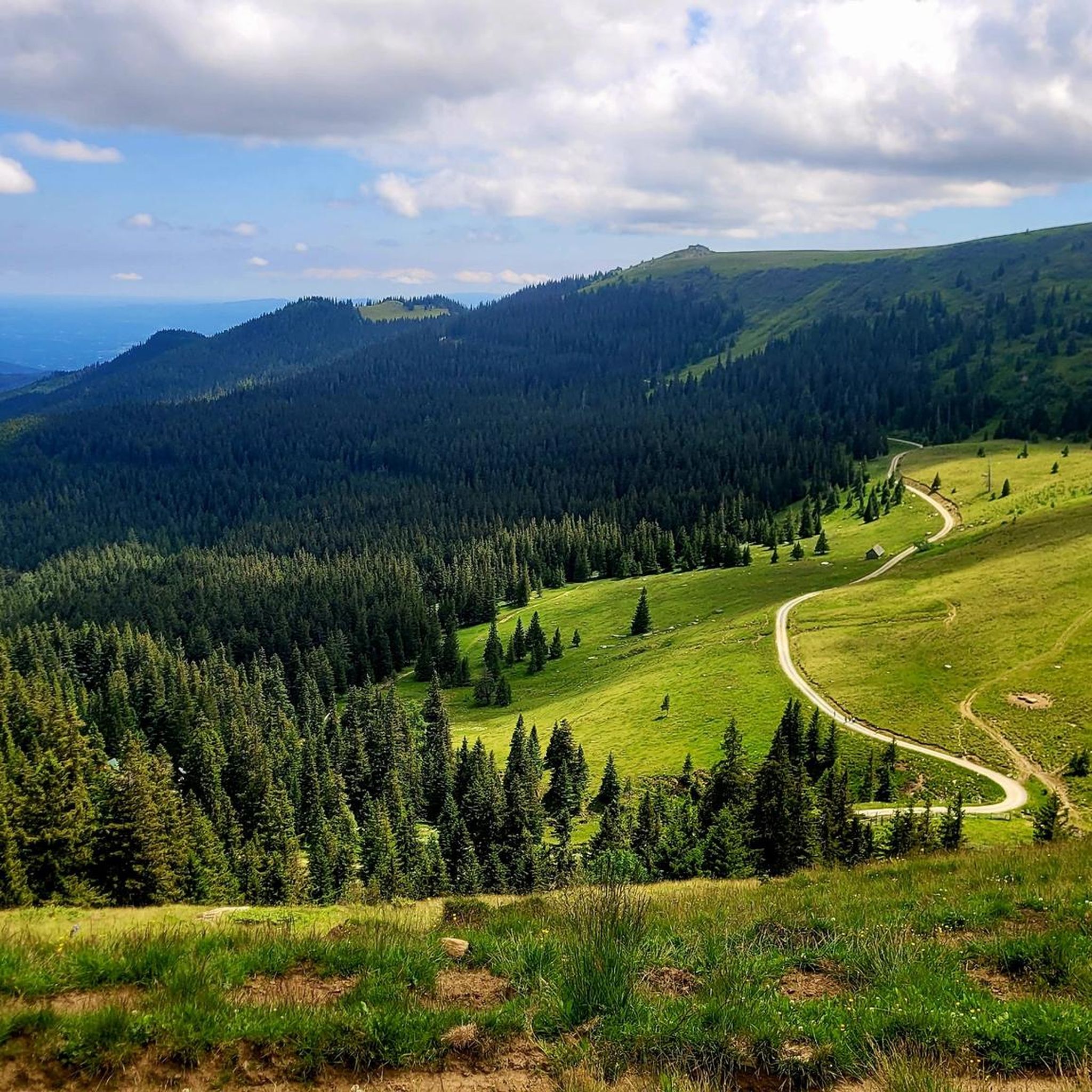
Road cycling routes in Naturschutzgebiet Seekar Und Bärental traverse an alpine landscape within Austria's Koralpe mountain range, characterized by significant elevation changes and diverse natural features. The region features montane spruce forests, subalpine pastures, and dwarf shrub heaths, with higher elevations reaching over 2000 meters. Many routes offer mostly paved surfaces, making them suitable for road cycling amidst the varied terrain. This area provides a range of cycling challenges, from moderate climbs to more strenuous ascents.
Best road cycling routes in Naturschutzgebiet Seekar Und Bärental
- The most popular road cycling route is Main Square of Wolfsberg – Weinebene loop from Glashütten, a 39.1 miles (62.9 km) trail that takes 3 hours 52 minutes to complete. This difficult route features substantial elevation gain through alpine terrain.
- Another top favourite among local road cyclists is View of St. Andrä – Saint Joseph Shrine in Langgen loop from Burgruine Hartneidstein, a moderate 21.3 miles (34.3 km) path. This route offers views of the surrounding alpine scenery and includes varied gradients.
- Local road cyclists also love the Gemmersdorf Mill – Saint Joseph Shrine in Langgen loop from Gemmersdorf, a 18.1 miles (29.1 km) trail leading through rolling countryside, often completed in about 1 hour 20 minutes.
- Road cycling in Naturschutzgebiet Seekar Und Bärental is defined by alpine landscapes, spruce forests, and significant elevation changes. The network offers options for different ability levels, from easy rides to difficult ascents.
- The routes in Naturschutzgebiet Seekar Und Bärental are highly rated by the komoot community with an average score of 5.0 stars from over 2 reviews. More than 40 road cyclists have used komoot to explore Naturschutzgebiet Seekar Und Bärental's varied terrain.
Last updated: July 10, 2026
5.0
(1)
22
riders
58.9km
03:43
1,670m
1,670m
Hard road ride. Very good fitness required. Mostly well-paved surfaces and easy to ride.
8
riders
20.6km
00:58
220m
220m
Easy road ride. Great for any fitness level. Mostly well-paved surfaces and easy to ride.

Sign up for free
6
riders
28.7km
01:19
280m
280m
Easy road ride. Great for any fitness level. Mostly well-paved surfaces and easy to ride.
6
riders
26.1km
01:18
270m
270m
Easy road ride. Great for any fitness level. Mostly well-paved surfaces and easy to ride.
2
riders
Moderate road ride. Good fitness required. Mostly well-paved surfaces and easy to ride.
Our route recommendations are based on thousands of hikes, rides, and runs completed by other people on komoot.
Start today with a free account
Your next adventure awaits.
Login or Signup
Popular around Naturschutzgebiet Seekar Und Bärental
Tips from the Community


A truly wonderful bike path! Long, well-paved, and always alongside the Lavant River!
1
0

Maria Rojach is a village at the foot of the Koralpe mountain range in the municipality of St. Andrä im Lavanttal. The village is located in the Lavanttal valley (Carinthia) at 440 meters above sea level. It features inns and a supermarket.
0
0

The Lavant Cycle Route R10 leads from Reichenfels in Carinthia through the Lavant Valley to Lavamünd.
1
0

The parish church of the Assumption of Mary in Maria Rojach became a place of pilgrimage during the fourth Turkish invasion in 1480. Inside, a votive image commemorates this event. Due to the construction of the Maria Loreto church in St. Andrä, the church in Maria Rojach lost its importance. This is where the Carinthian pilgrimage route starts.
1
0
The Maria Loreto pilgrimage basilica is an impressive baroque building with two 60 meter high towers. The original chapel was replaced by a church built in 1683-1687. The so-called Black Madonna is located in the adjoining chapel.
1
0

St Andrä small love town to take a break or rest. You can get everything.
0
0
In the town of Wolfsberg on a detour with a café and cake.
0
1
Frequently Asked Questions
How many road cycling routes are available in Naturschutzgebiet Seekar Und Bärental?
There are currently 6 road cycling routes documented in Naturschutzgebiet Seekar Und Bärental on komoot, offering a range of experiences from easy rides to challenging ascents.
What kind of terrain can I expect on road cycling routes in Naturschutzgebiet Seekar Und Bärental?
Road cycling routes in this region traverse an alpine landscape within Austria's Koralpe mountain range. You can expect significant elevation changes, with terrain transitioning from montane spruce forests at lower elevations to subalpine pastures and dwarf shrub heaths higher up. Many routes feature mostly paved surfaces, making them suitable for road cycling, though some may include unpaved sections.
Are there any easy road cycling routes for beginners in Naturschutzgebiet Seekar Und Bärental?
Yes, there are 3 easy road cycling routes. An example is the Gemmersdorf Mill loop from Gemmersdorf, which is about 20.6 km long and takes less than an hour to complete, offering a gentle introduction to the area's scenery.
What are some notable landmarks or viewpoints along the road cycling routes?
While cycling, you can explore several points of interest. The Loskogel Summit Cross offers breathtaking panoramic views, and the Stone Cairn at the Foot of Seespitz is a historical landmark. You might also pass by alpine huts like the Grünanger Hut (1560 m), which provides resting spots with beautiful vistas.
Are there any challenging road cycling routes for experienced cyclists?
Yes, for experienced cyclists seeking a challenge, the region offers difficult routes. The Main Square of Wolfsberg – Weinebene loop from Glashütten is a difficult 62.9 km trail with substantial elevation gain through alpine terrain, typically taking almost 4 hours to complete.
What do other road cyclists say about the routes in Naturschutzgebiet Seekar Und Bärental?
The road cycling routes in Naturschutzgebiet Seekar Und Bärental are highly rated by the komoot community, with an average score of 5.0 stars. Cyclists often praise the stunning alpine scenery, the varied gradients, and the mostly paved surfaces that make for an enjoyable ride amidst diverse natural features.
Are there any moderate road cycling routes in the area?
Yes, there are moderate options available. The View of St. Andrä – Saint Joseph Shrine in Langgen loop from Burgruine Hartneidstein is a popular moderate route, spanning 34.3 km and offering views of the surrounding alpine scenery with varied gradients.
What is the best time of year for road cycling in Naturschutzgebiet Seekar Und Bärental?
Given the alpine nature of Naturschutzgebiet Seekar Und Bärental, the best time for road cycling is typically from late spring through early autumn (May to October), when the weather is milder and the higher elevations are free of snow. Always check local weather conditions before heading out, especially for routes with significant elevation.
Can I find circular road cycling routes in Naturschutzgebiet Seekar Und Bärental?
Yes, many of the road cycling routes in the region are designed as loops, allowing you to start and end at the same point. Examples include the Gemmersdorf Mill – Saint Joseph Shrine in Langgen loop from Gemmersdorf and the Lavant Cycle Path – View of St. Andrä loop from Paierdorf.
What kind of natural features can I observe while road cycling in this nature reserve?
As you cycle through Naturschutzgebiet Seekar Und Bärental, you'll experience a rich tapestry of vegetation zones. These range from montane spruce forests at lower elevations to subalpine spruce forests, pastures, and dwarf shrub heaths on middle slopes. The highest regions feature alpine grass heaths. The reserve is also known for unique flora like the Gießbach Gemswurz and Arnika.
Are there any mountain huts accessible or visible from the road cycling routes?
Yes, the region features several mountain huts that can serve as points of interest or resting spots. The Grünanger Hut (1560 m) is a well-known alpine hut providing beautiful vistas, and the Bärentalhütte is another hut in the area.
Most popular routes in Naturschutzgebiet Seekar Und Bärental
Most popular attractions in Naturschutzgebiet Seekar Und Bärental

Get inspired with the komoot mobile app


Explore more
Browse the best Road cycling routes in other regions.
