The best mountain hikes in Naturschutzgebiet Seekar Und Bärental
4.9
(6)
170
hikers
9
hikes
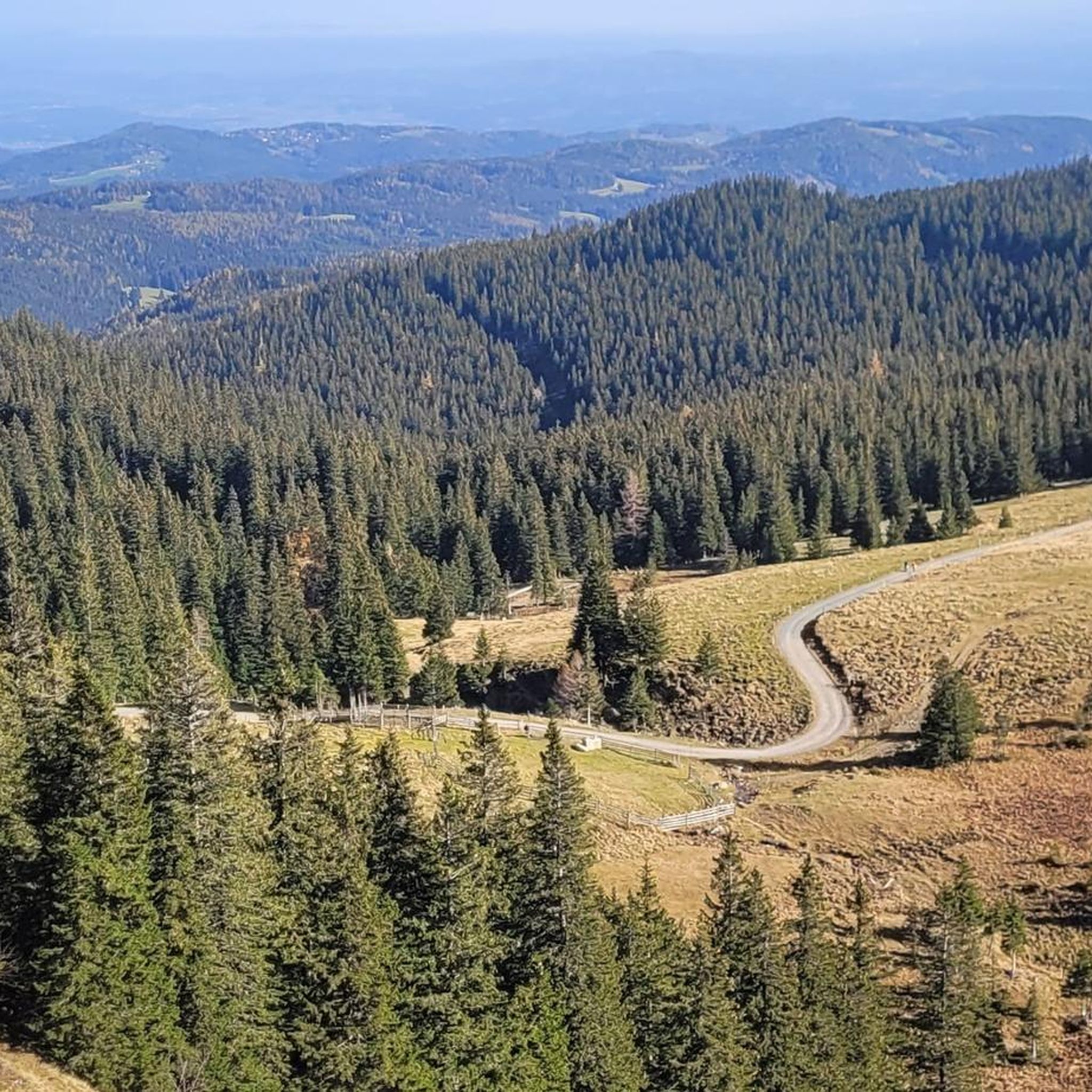
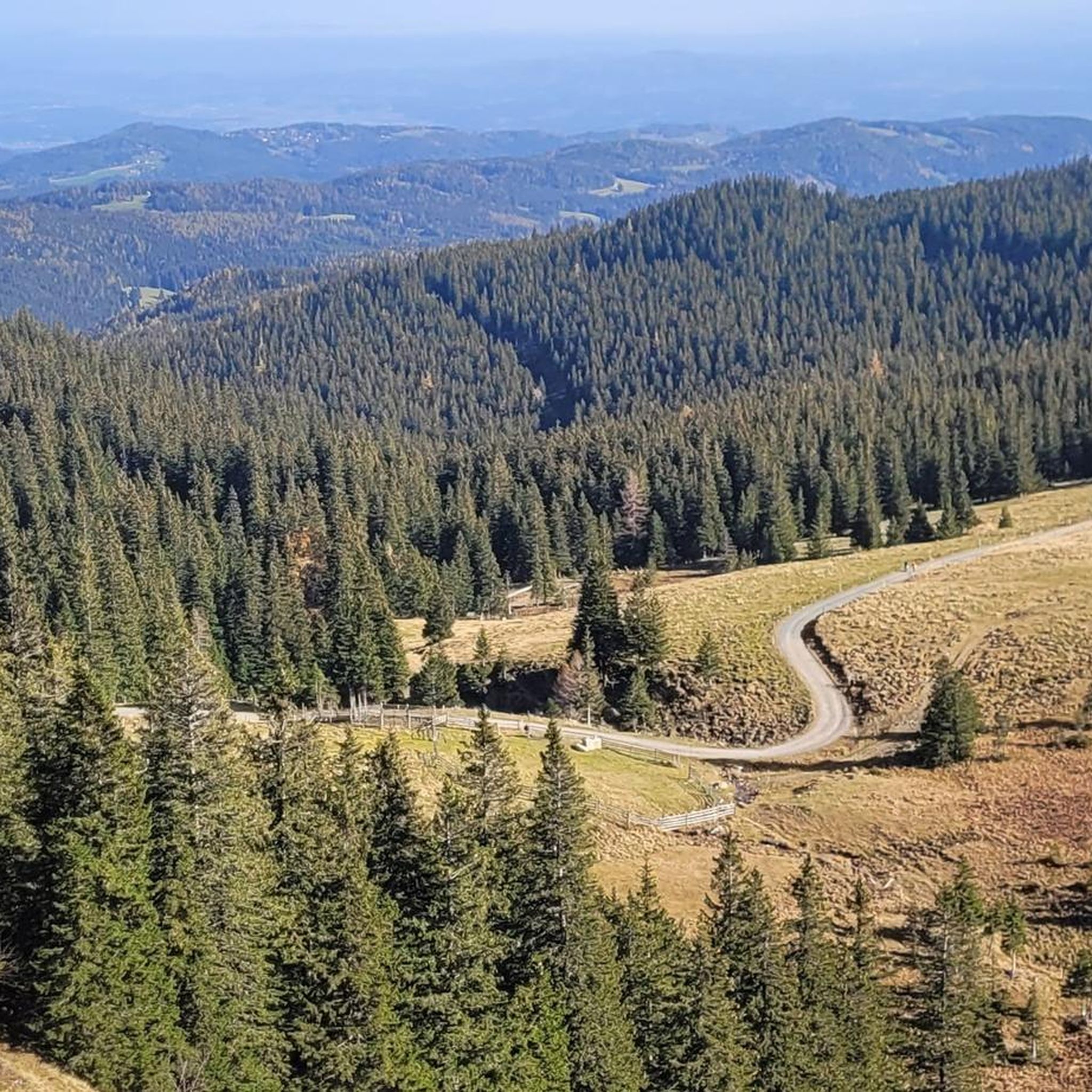
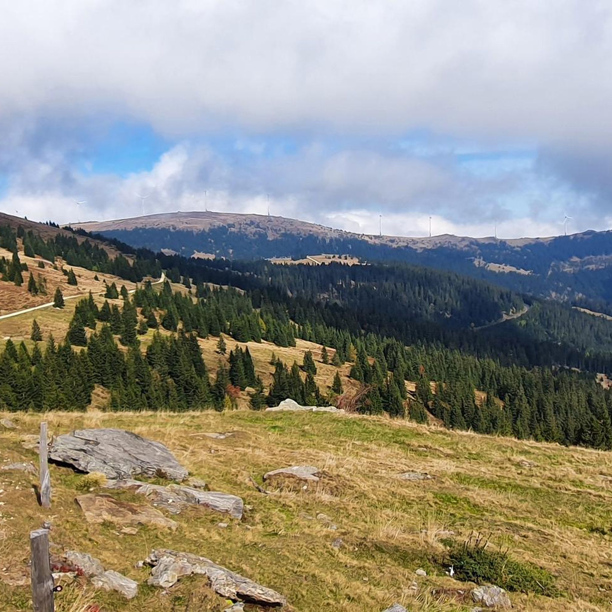
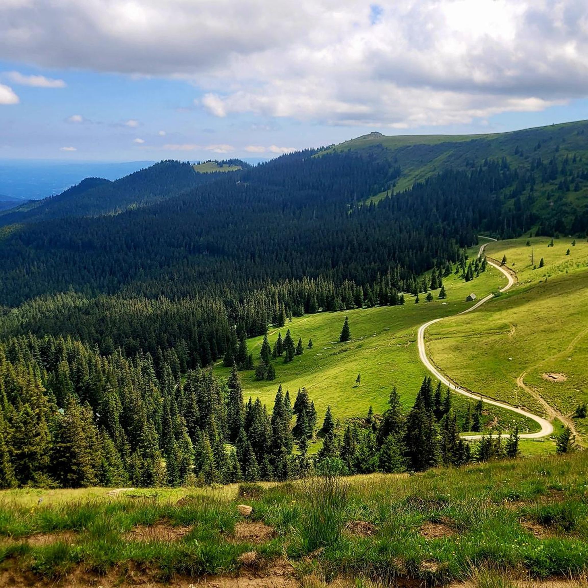
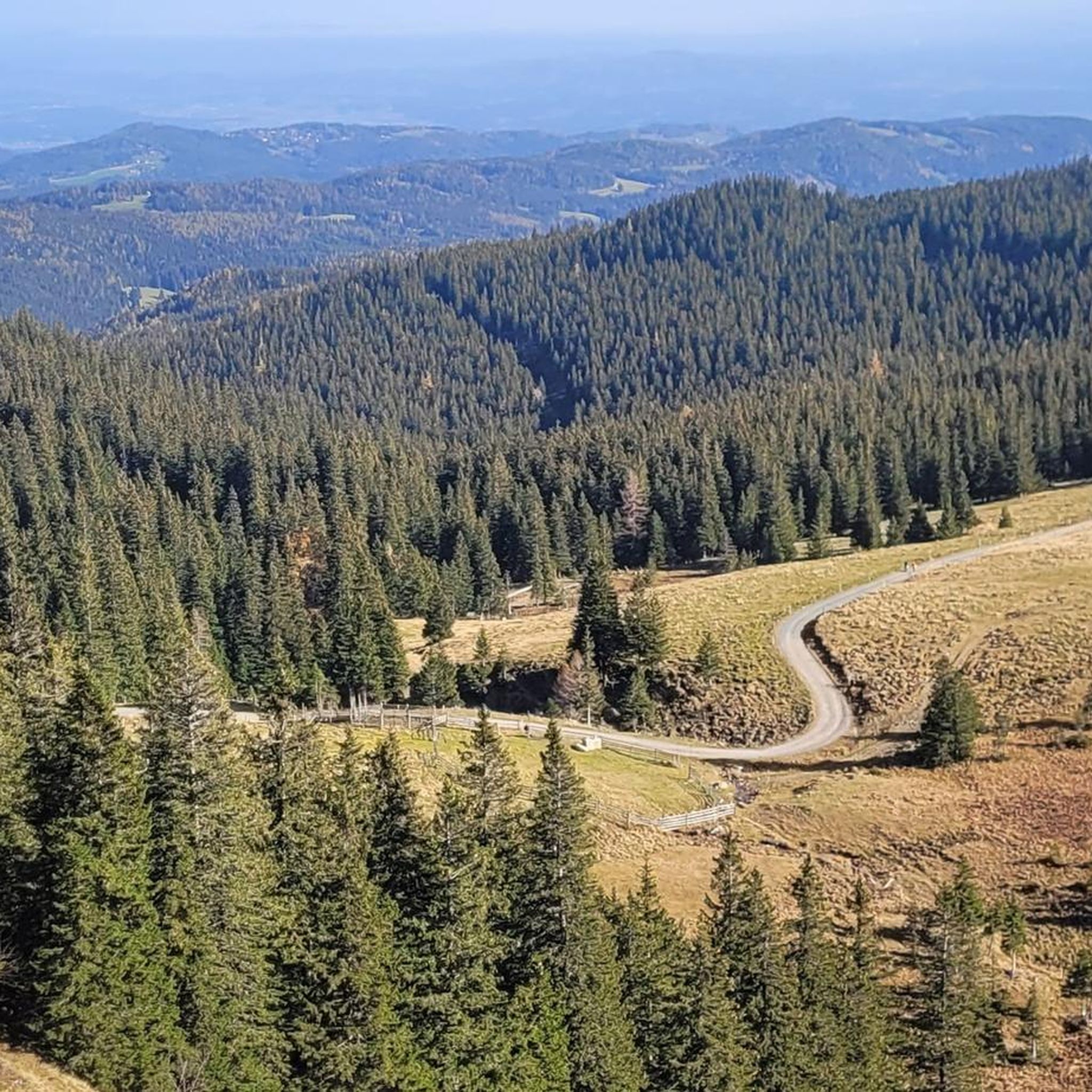
Mountaineering routes in Naturschutzgebiet Seekar Und Bärental traverse the Koralpe mountain range in Styria, Austria. The region is characterized by diverse alpine landscapes and significant elevation changes, featuring well-developed glacial landforms at higher elevations. Terrain transitions through spruce forests, subalpine pastures, and dwarf shrub heath to alpine grasslands. Prominent peaks such as Moschkogel (1916 m), Hühnerstütze (1989 m), Seespitz (2066 m), and Kleiner Speikkogel (2117 m) define the challenging environment.
Best mountaineering routes in Naturschutzgebiet Seekar Und Bärental
- The most popular mountaineering route is Bärentalhütte – Großer Speikkogel Summit loop from Weinebene, a 9.6 miles (15.4 km) trail that takes 5 hours 22 minutes to complete. This difficult route leads to a prominent summit within the Koralpe.
- Another top favourite among local mountaineers is Bärentalhütte – Grünanger Hut (1560 m) loop from Weinebene, a moderate 5.1 miles (8.2 km) path. This route offers alpine scenery and passes by a mountain hut.
- Local mountaineers also love the Bärentalhütte – Stone Cairns on the Saualpe loop from Weinebene, a 6.1 miles (9.8 km) trail leading through challenging terrain marked by stone cairns, often completed in about 3 hours 27 minutes.
- Mountaineering in Naturschutzgebiet Seekar Und Bärental is defined by alpine landscapes, glacial landforms, and prominent peaks. The network offers options for different ability levels, from moderate ascents to difficult summit attempts.
- The routes in Naturschutzgebiet Seekar Und Bärental are highly rated by the komoot community with an average score of 5.0 stars from over 6 reviews. More than 170 mountaineers have used komoot to explore Naturschutzgebiet Seekar Und Bärental's varied terrain.
Last updated: July 9, 2026
32
hikers
15.4km
05:23
640m
640m
Hard mountaineering route. Very good fitness required. Sure-footedness, sturdy shoes and alpine experience required.
6
hikers
8.18km
02:22
190m
190m
Moderate mountaineering route. Good fitness required. Mostly accessible paths. Sure-footedness required.

Sign up for free
4
hikers
9.77km
03:27
410m
410m
Hard mountaineering route. Good fitness required. Sure-footedness, sturdy shoes and alpine experience required.
5.0
(1)
3
hikers
8.07km
02:31
300m
300m
Moderate mountaineering route. Good fitness required. Easily-accessible paths. Suitable for all skill levels.
3
hikers
19.5km
06:58
830m
830m
Hard mountaineering route. Very good fitness required. Sure-footedness, sturdy shoes and alpine experience required.
Get access to more routes and recommendations from other explorers.
Sign up for free
Already have an account?
Our route recommendations are based on thousands of hikes, rides, and runs completed by other people on komoot.
Start today with a free account
Your next adventure awaits.
Login or Signup
Popular around Naturschutzgebiet Seekar Und Bärental
Tips from the Community

The Großhöllerhütte has a great view, super service, and an excellent Jause.
0
0

Nice view, an easy to reach summit. It is actually a grassy summit and there is a small collection of rocks at the top near the summit cross.
0
0
Very personable and friendly! We had vegetarian Kaiserschmarrn and cheese bread (both very good), and there is more choice for carnivores.
0
0

I ask the next friendly hiker who reads this beforehand to take a summit book and a new pen for the summit, because the book is unfortunately full and the pen is already very old 🖊️📒 Thank you very much!
2
0
I ask the next friendly hiker who reads this beforehand to take a summit book and a new pen for the summit, because the book is unfortunately full and the pen is already very old 🖊️📒 Thank you very much!
9
1
The summit cross collapsed in January 2014 due to heavy snow and ice loads. On June 6, 2014, the cross was re-erected in its old form made of oak wood and was ceremoniously inaugurated on July 5, 2014 by Dean Engelbert Hofer and Pastor Eugen Länger ✝️ http://www.kleindenkmaeler.at/detail/gipfelkreuz_grosser_speikkogel
8
0
The summit cross collapsed in January 2014 due to heavy snow and ice loads. On June 6, 2014, the cross was re-erected in its old form made of oak wood and was ceremoniously inaugurated on July 5, 2014 by Dean Engelbert Hofer and Pastor Eugen Länger ✝️ http://www.kleindenkmaeler.at/detail/gipfelkreuz_grosser_speikkogel
2
0
Frequently Asked Questions
What kind of terrain can I expect on mountaineering routes in Naturschutzgebiet Seekar Und Bärental?
The region features diverse alpine landscapes with significant elevation changes. You'll traverse through spruce forests, subalpine pastures, dwarf shrub heath, and alpine grasslands, often encountering well-developed glacial landforms at higher elevations. Prominent peaks like Moschkogel (1916 m) and Kleiner Speikkogel (2117 m) define the challenging environment.
Are there any beginner-friendly mountaineering routes in Naturschutzgebiet Seekar Und Bärental?
Yes, there are several moderate routes suitable for those with some mountaineering experience. For instance, the Bärentalhütte – Grünanger Hut (1560 m) loop from Weinebene is a moderate 8.2 km path offering alpine scenery and passing by a mountain hut. Another good option is the Summit cross on Moschkogel – Weinebene loop from Weinebene, which is 8.1 km long and also rated moderate.
What are some challenging mountaineering routes for experienced hikers?
For experienced mountaineers, the region offers several difficult routes. The Bärentalhütte – Großer Speikkogel Summit loop from Weinebene is a demanding 15.4 km trail leading to a prominent summit. Another challenging option is the Bärentalhütte – Stone Cairns on the Saualpe loop from Weinebene, a 9.8 km route through challenging terrain marked by stone cairns.
Are there any circular mountaineering routes in the area?
Yes, many of the mountaineering routes in Naturschutzgebiet Seekar Und Bärental are designed as loops. Examples include the Bärentalhütte – Großer Speikkogel Summit loop from Weinebene, the Bärentalhütte – Grünanger Hut (1560 m) loop from Weinebene, and the Großer Speikkogel Summit – Poms Waterfall loop from Schizentrum Koralpe.
What interesting sights or landmarks can I see along the mountaineering routes?
Along the routes, you can encounter several points of interest. The Grünanger Hut (1560 m) and Bärentalhütte offer places to rest. You might also come across the Stone Cairn at the Foot of Seespitz or the Loskogel Summit Cross. Some routes even follow sections of the West Styrian Way of St. James.
Are there any routes that pass by waterfalls?
Yes, the Großer Speikkogel Summit – Poms Waterfall loop from Schizentrum Koralpe is a moderate 12.8 km route that includes the Poms Waterfall, offering a refreshing natural highlight during your mountaineering trip.
What is the best season for mountaineering in Naturschutzgebiet Seekar Und Bärental?
The best season for mountaineering in Naturschutzgebiet Seekar Und Bärental is typically from late spring to early autumn (May to October), when the trails are generally free of snow and the weather conditions are most stable. Always check local weather forecasts before heading out, as alpine conditions can change rapidly.
What do other mountaineers enjoy most about the routes in Naturschutzgebiet Seekar Und Bärental?
The mountaineering routes in Naturschutzgebiet Seekar Und Bärental are highly rated by the komoot community, with an average score of 5.0 stars. Reviewers often praise the diverse alpine landscapes, the challenging yet rewarding summit attempts, and the well-maintained trails that offer a true mountain experience.
Are there mountain huts or cafes available along the trails?
Yes, there are mountain huts that can serve as rest stops or places to grab refreshments. For example, the Grünanger Hut (1560 m) and Bärentalhütte are located along some of the routes, providing opportunities for a break.
How many mountaineering routes are available in Naturschutzgebiet Seekar Und Bärental?
There are approximately 9 mountaineering routes documented in Naturschutzgebiet Seekar Und Bärental, offering a good selection for various skill levels, from moderate ascents to more difficult summit attempts.
Is parking available near the trailheads?
Many routes in Naturschutzgebiet Seekar Und Bärental, particularly those starting from Weinebene or Schizentrum Koralpe, have designated parking areas nearby. It's advisable to check specific route details for precise parking information before your trip.
Most popular routes in Naturschutzgebiet Seekar Und Bärental
Most popular attractions in Naturschutzgebiet Seekar Und Bärental

Get inspired with the komoot mobile app


Explore more
Browse the best Mountain Hikes & Routes in other regions.
