The best running trails in Sic Altopiano Dei Sette Comuni
4.7
(4)
380
runners
29
runs
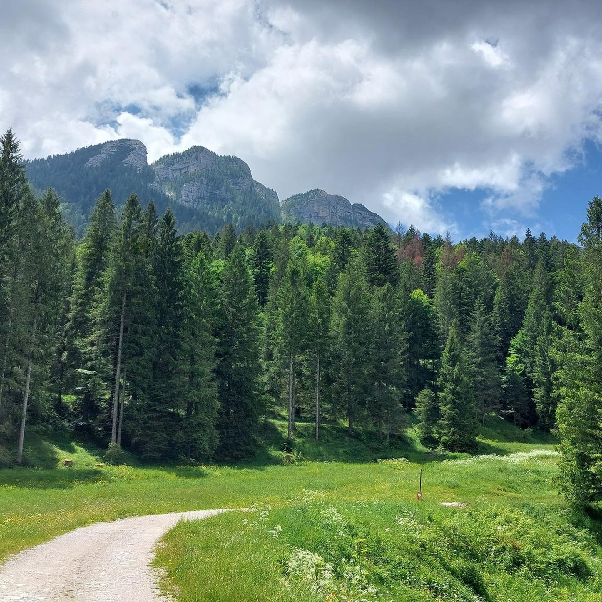
Jogging in Sic Altopiano Dei Sette Comuni offers diverse landscapes, from gently undulating pastures to dense forests and high-altitude areas. The plateau, situated at an average altitude of around 1,000 meters, is bordered by higher peaks exceeding 2,300 meters to the north. This variety provides a range of running experiences, from smoother paths to more challenging sections with significant elevation gain.
Best jogging routes in Sic Altopiano Dei Sette Comuni
- The most popular jogging route is Cima Portule and Cima…
Last updated: July 5, 2026
82
runners
13.9km
02:22
740m
750m
Hard run. Very good fitness required. Sure-footedness, sturdy shoes and alpine experience required.
24
runners
24.4km
04:13
1,340m
1,340m
Hard run. Very good fitness required. Sure-footedness, sturdy shoes and alpine experience required.

Sign up for free
5.0
(1)
30
runners
16.1km
01:45
250m
250m
Hard run. Very good fitness required. Mostly paved surfaces. Suitable for all skill levels.
19
runners
29.1km
03:21
490m
490m
Hard run. Very good fitness required. Mostly accessible paths. Some sure footedness required.
10
runners
8.27km
01:41
640m
640m
Hard run. Very good fitness required. Sure-footedness, sturdy shoes and alpine experience required.
Get access to more routes and recommendations from other explorers.
Sign up for free
Already have an account?
Our route recommendations are based on thousands of hikes, rides, and runs completed by other people on komoot.
Start today with a free account
Your next adventure awaits.
Login or Signup
Popular around Sic Altopiano Dei Sette Comuni
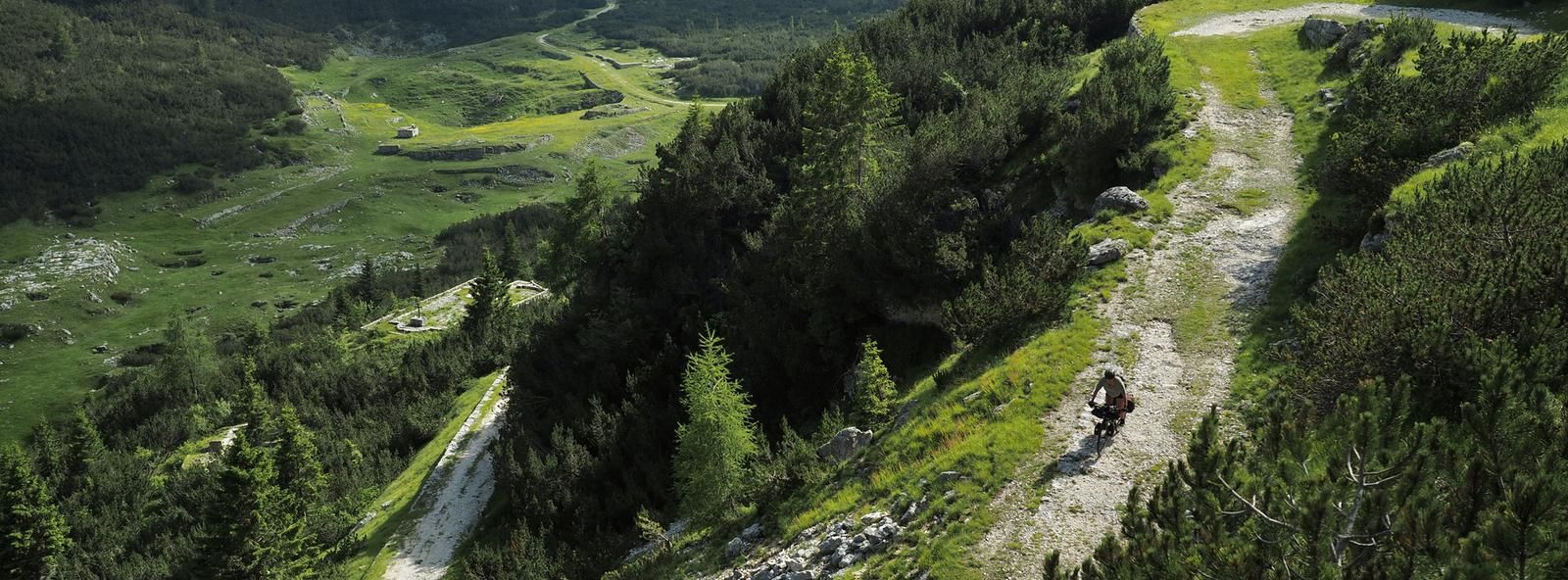
Across the high Italian plains – bikepacking the Asiago Loop
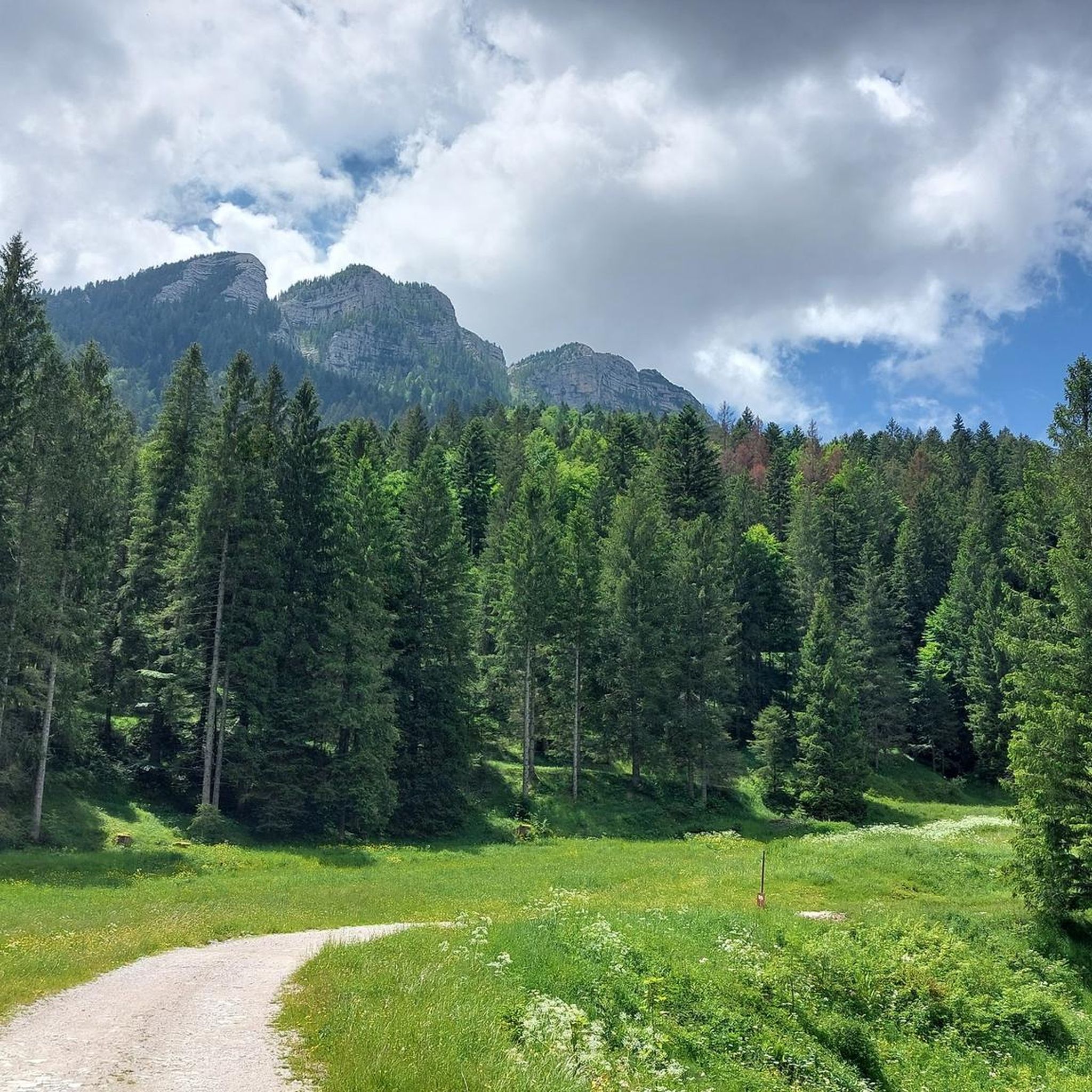
Hiking in Sic Altopiano Dei Sette Comuni
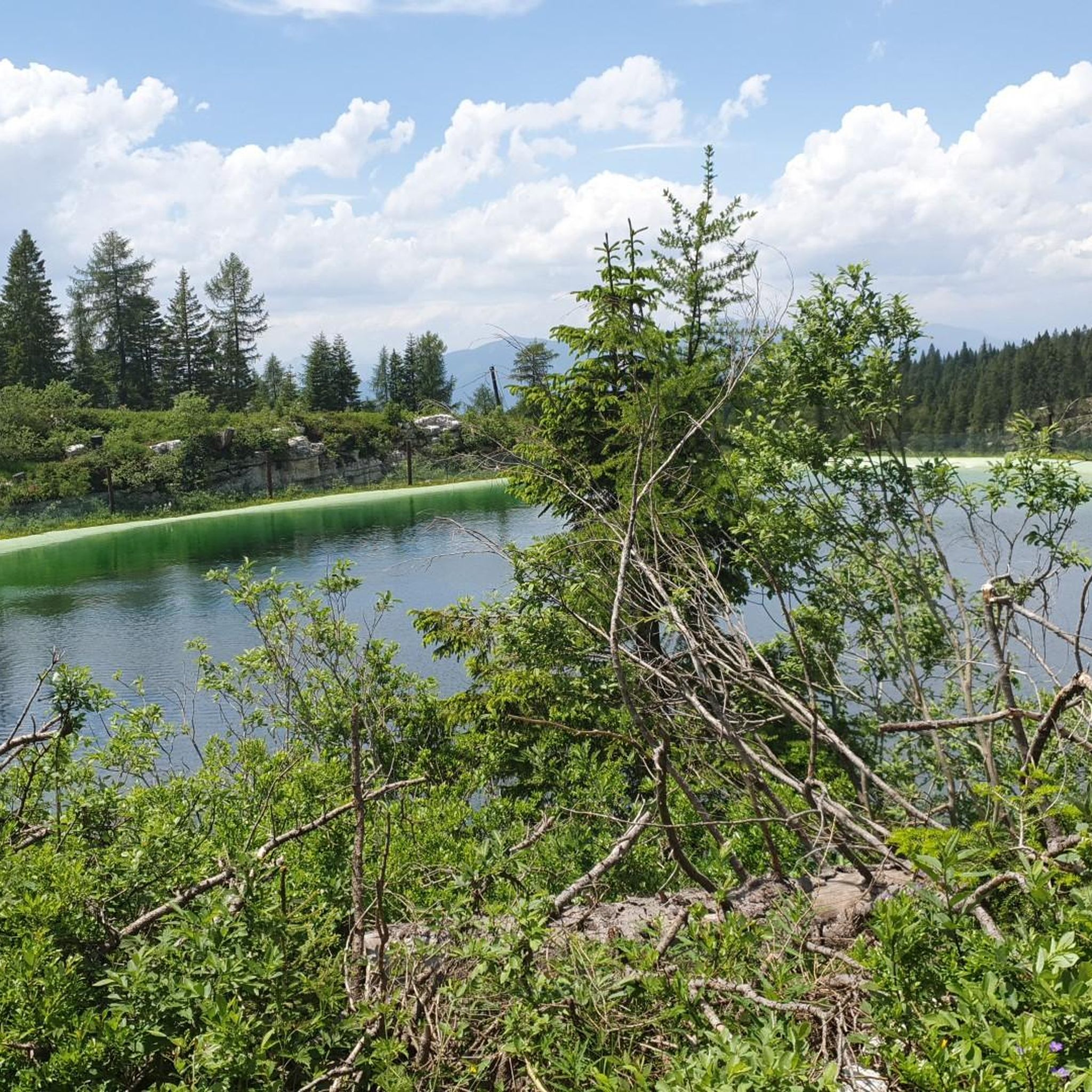
Road Cycling Routes in Sic Altopiano Dei Sette Comuni
MTB Trails in Sic Altopiano Dei Sette Comuni
Gravel biking in Sic Altopiano Dei Sette Comuni
Cycling in Sic Altopiano Dei Sette Comuni

Mountain Hikes in Sic Altopiano Dei Sette Comuni
Other adventures in Sic Altopiano Dei Sette Comuni

Tips from the Community

The only fountain that allows water to be refilled along the route
0
0

Very fresh water near bocchetta Portule
0
0
The road that runs along the ridge of Monte Costesin in a fairly flat way
0
0
Beautiful mountain hut, used for summer pasture. It is located in a huge grassy basin surrounded by a fir forest
0
0
Former mountain hut transformed into accommodation in a grassy hollow. In winter, an important cross-country ski center with well-maintained trails
0
0
The Bocchetta Portule picnic area
0
0
The panorama from Bocchetta Portule
0
0

Starting from Malga Galmarara, at a good pace, you can reach the summit in about 2 hours and 10 minutes. The route presents no real difficulties, except for the last, rather steep section and a descent where you need to be careful to avoid slipping on the rocks. There are two summit books where you can leave a message.
1
0
Frequently Asked Questions
What kind of terrain can I expect on the running routes in Sic Altopiano Dei Sette Comuni?
The Altopiano dei Sette Comuni offers a diverse range of terrain for runners. You'll find gently undulating pastures, dense forests, and more challenging high-altitude areas. The landscape varies from smoother paths to rocky sections, providing a rich experience for different running preferences. The central plateau sits around 1,000 meters, with peaks exceeding 2,300 meters to the north, ensuring varied elevation profiles.
Are there any easy or beginner-friendly running paths in the Altopiano dei Sette Comuni?
While many routes in the region are rated moderate to difficult, there are options for easier runs. The "Strada del Trenino" (Road of the Old Little Train) is a notable example, offering a flat, mostly asphalted route that follows an old railway line. This path is suitable for all skill levels and provides a scenic journey, ideal for a relaxed run.
Can I find circular running routes in the Altopiano dei Sette Comuni?
Yes, the region features several excellent circular running routes. For instance, you could explore the Cima Portule and Cima Larici — ring tour, which is a challenging 8.6-mile (13.9 km) path with expansive views. Another option is the Monte Verena – Batterie Verenetta loop from Forte Verena, a difficult 5.4-mile (8.6 km) route exploring historical sites and varied terrain.
What historical landmarks can I see while running in the Altopiano dei Sette Comuni?
The Altopiano dei Sette Comuni is rich in history, particularly from World War I. Many running trails traverse significant historical sites. You can encounter places like Mount Zebio, Cima Larici, and the forts of Verena, Interrotto, Corbin, Lisser, and Campolongo. The Monte Verena – Batterie Verenetta loop from Forte Verena is a great example of a route that combines running with historical exploration.
Are there any running routes that pass by mountain huts or offer opportunities for refreshments?
Yes, the region has a "Malga Trail" project that incorporates numerous mountain huts (malghe) into beautiful trails, offering unique stops and experiences. While specific routes are not listed here, you can find many trails that lead to or pass by huts. For example, the Campolongo Hut is a highlight in the area, and routes like the Val Formica Mountain Hut – Lower Larici Mountain Hut loop are designed around these facilities.
What are some scenic viewpoints or natural features to look out for on the running trails?
The Altopiano dei Sette Comuni offers breathtaking natural beauty. You can enjoy expansive views from high-altitude peaks like Cima XII (the highest in Vicenza province) and Cima Portule. The Marcesina Plain, with its unique climate and peat bogs, is another distinctive natural feature. The natural pond Lumera also provides a relaxing setting. For specific peaks, consider routes that ascend to Portule Peak or pass through areas like Bocchetta Portule.
How many running routes are available in Sic Altopiano Dei Sette Comuni?
There are over 15 running routes available in Sic Altopiano Dei Sette Comuni, catering to various fitness levels. The majority of these routes are rated as difficult, with a few moderate options, providing ample choice for experienced runners looking for a challenge.
What do other runners enjoy most about jogging in Sic Altopiano Dei Sette Comuni?
The running routes in Sic Altopiano Dei Sette Comuni are highly rated by the komoot community, with an average score of 4.0 stars. Runners often praise the diverse landscapes, from green pastures and dense forests to challenging high-altitude areas, as well as the extensive network of trails that offer a variety of experiences.
Are there any less crowded running routes for a more peaceful experience?
While specific 'less crowded' routes aren't explicitly highlighted, the extensive network of trails across the vast Altopiano dei Sette Comuni means you can often find quieter paths, especially away from the most popular historical sites or during off-peak times. Exploring routes that venture deeper into the forests or higher into the less accessible peaks can offer a more solitary running experience.
What is the best season for running in the Altopiano dei Sette Comuni?
The Altopiano dei Sette Comuni is an excellent destination for outdoor activities throughout much of the year. Spring and autumn offer pleasant temperatures and beautiful scenery, with vibrant foliage or blooming wildflowers. Summer is also popular, especially in higher elevations where temperatures are cooler. Winter can be challenging due to snow, but some trails might be suitable for snowshoe running or cross-country skiing.
Can I bring my dog on the running trails in the Altopiano dei Sette Comuni?
Generally, the Altopiano dei Sette Comuni is a dog-friendly region, and many trails are suitable for running with your canine companion. However, it's always advisable to keep your dog on a leash, especially in areas with livestock or wildlife, and to check for any specific local regulations or protected areas that might have restrictions. Always ensure your dog is well-behaved and that you clean up after them.
Are there any running routes suitable for families with children?
For families looking for easier runs, the "Strada del Trenino" is an excellent choice due to its flat and mostly asphalted surface, making it accessible for various ages and fitness levels. While many routes are more challenging, this path provides a safe and enjoyable option for a family outing. Always consider the distance and elevation gain when choosing a route for children.
Most popular routes in Sic Altopiano Dei Sette Comuni
Most popular attractions in Sic Altopiano Dei Sette Comuni

Get inspired with the komoot mobile app


Explore more
Browse the best Running Trails & Routes in other regions.
