The best walks and hikes in Sic Altopiano Dei Sette Comuni
4.4
(16568)
83,131
hikers
158
hikes
Hiking in Sic Altopiano Dei Sette Comuni offers diverse landscapes within the Vicenza Pre-Alps, featuring a central basin and higher peaks exceeding 2,300 meters. The terrain includes lush forests, soft meadows, and dramatic ridges of karst-shaped rocks. Water primarily flows through underground cavities, contributing to unique features like peatlands and cascades. This region provides a blend of natural beauty and historical significance for hikers.
Best hiking trails in Sic Altopiano Dei Sette Comuni
- The most popular hiking route is Cima Portule and Cima Larici — ring tour in the Altopiano dei sette comuni, a 8.5 miles (13.7 km) trail that takes 5 hours 26 minutes to complete. This difficult ring tour explores two prominent peaks in the Altopiano.
- Another top favourite among local hikers is Monte Verena Loop Trail, a moderate 5.2 miles (8.3 km) path. This route offers scenic views around Monte Verena, suitable for a shorter day out.
- Local hikers also love the Monte Verena Historic WWI Trail (via CAI 820), a 7.4 miles (11.9 km) trail leading through historical WWI sites, often completed in about 3 hours 59 minutes.
- Hiking in Sic Altopiano Dei Sette Comuni is defined by lush forests, soft meadows, and historical traces from World War I. The network offers options for easy, moderate, and difficult trails, catering to different ability levels.
- The routes in Sic Altopiano Dei Sette Comuni are highly rated by the komoot community with an average score of 4.5 stars from over 2,600 reviews. More than 14,000 hikers have used komoot to explore Sic Altopiano Dei Sette Comuni's varied terrain.
Last updated: July 7, 2026
4.7
(252)
1,353
hikers
Hard hike. Very good fitness required. Sure-footedness, sturdy shoes and alpine experience required.
4.7
(235)
1,251
hikers
13.8km
05:33
730m
720m
Hike the difficult 8.6-mile Cima Portule Trail for panoramic views, diverse terrain, and World War I historical sites in the Asiago Plateau.

Sign up for free
4.5
(157)
876
hikers
8.33km
02:42
330m
340m
Hike the moderate 5.2-mile Monte Verena Loop Trail in Altopiano dei Sette Comuni, featuring historic Forte Verena and panoramic mountain vie
4.7
(92)
412
hikers
7.39km
02:59
300m
300m
Hike the moderate Castelloni di San Marco Trail, a 4.6-mile route through a unique rock labyrinth with panoramic views in Altopiano di Asiag
4.7
(91)
407
hikers
11.9km
03:59
480m
480m
Historic WWI trail through spruce forests to Forte Verena's summit with 360° plateau views.
Get access to more routes and recommendations from other explorers.
Sign up for free
Already have an account?
Our route recommendations are based on thousands of hikes, rides, and runs completed by other people on komoot.
Start today with a free account
Your next adventure awaits.
Login or Signup
Popular around Sic Altopiano Dei Sette Comuni
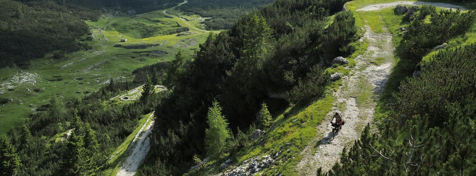
Across the high Italian plains – bikepacking the Asiago Loop
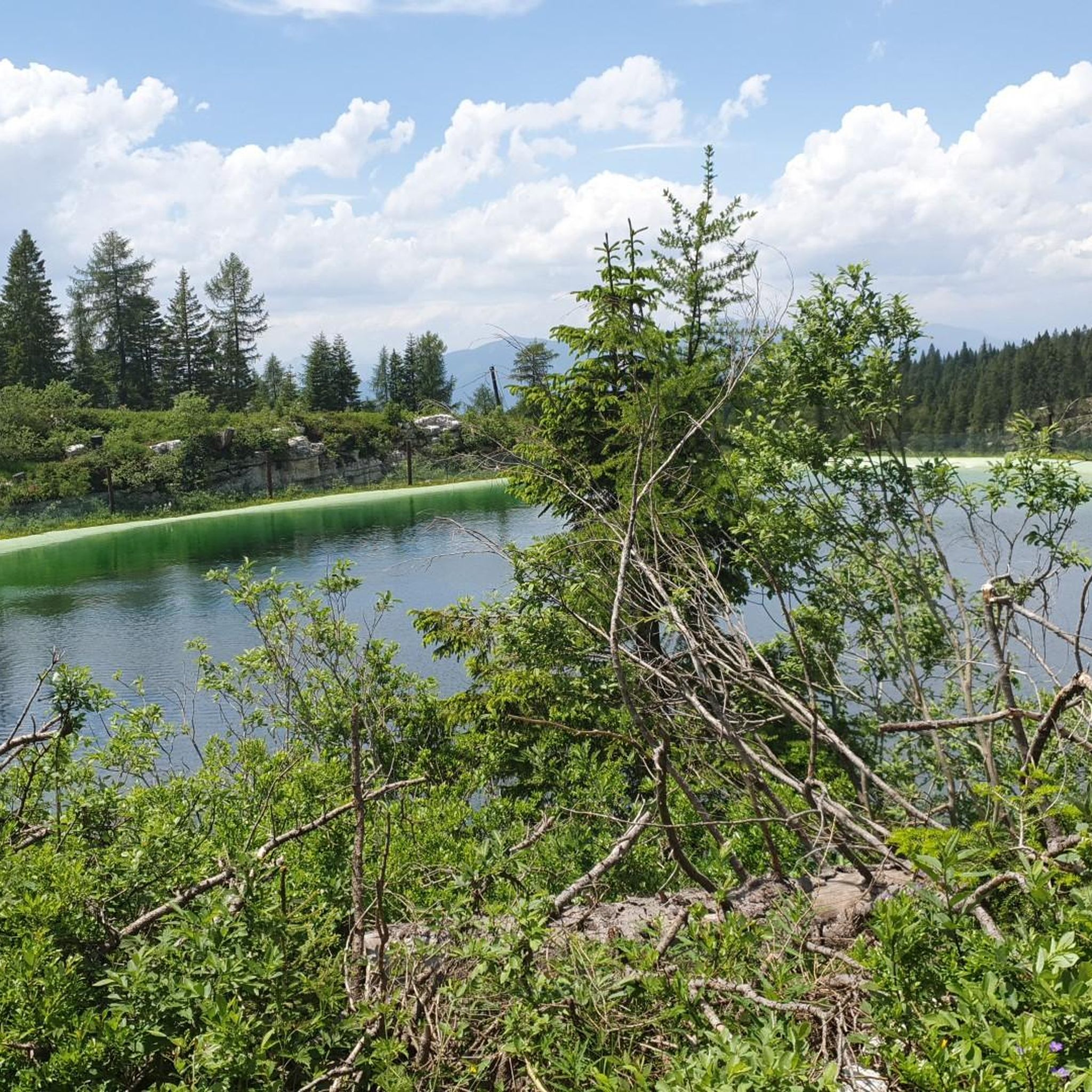
Road Cycling Routes in Sic Altopiano Dei Sette Comuni
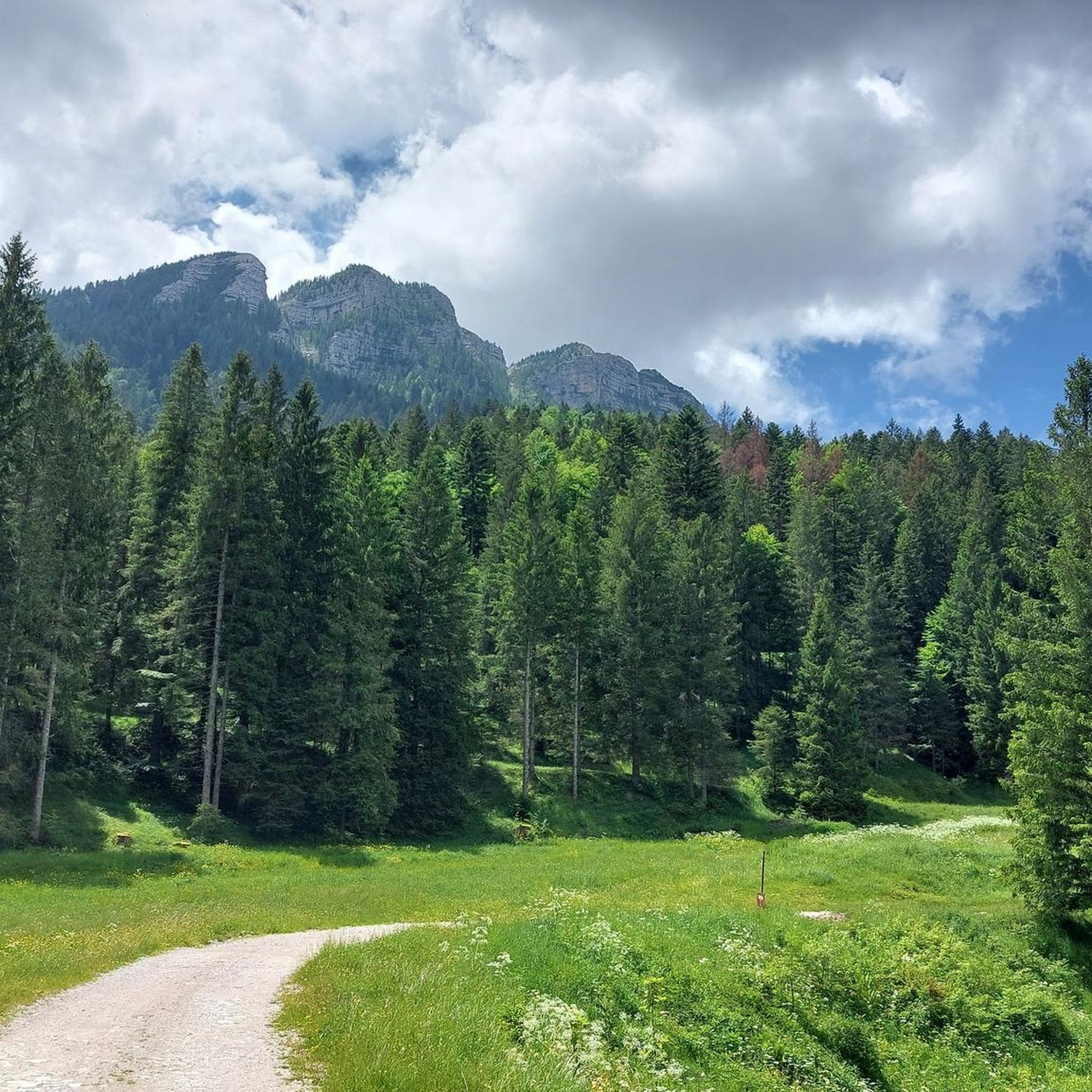
MTB Trails in Sic Altopiano Dei Sette Comuni
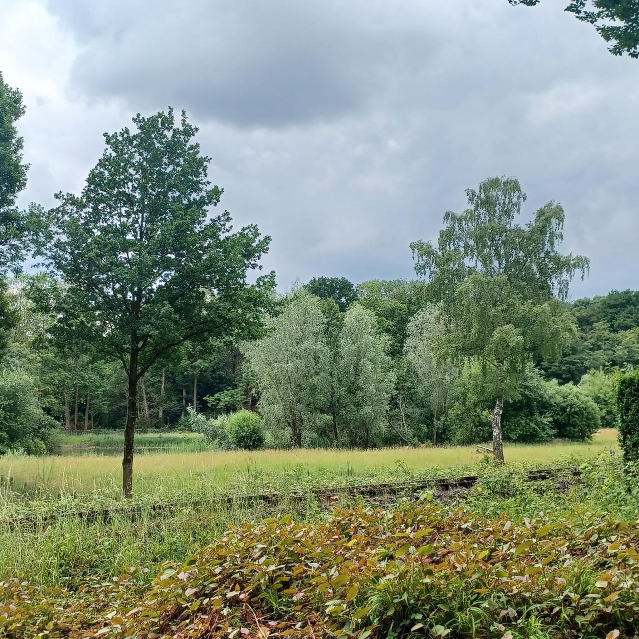
Gravel biking in Sic Altopiano Dei Sette Comuni
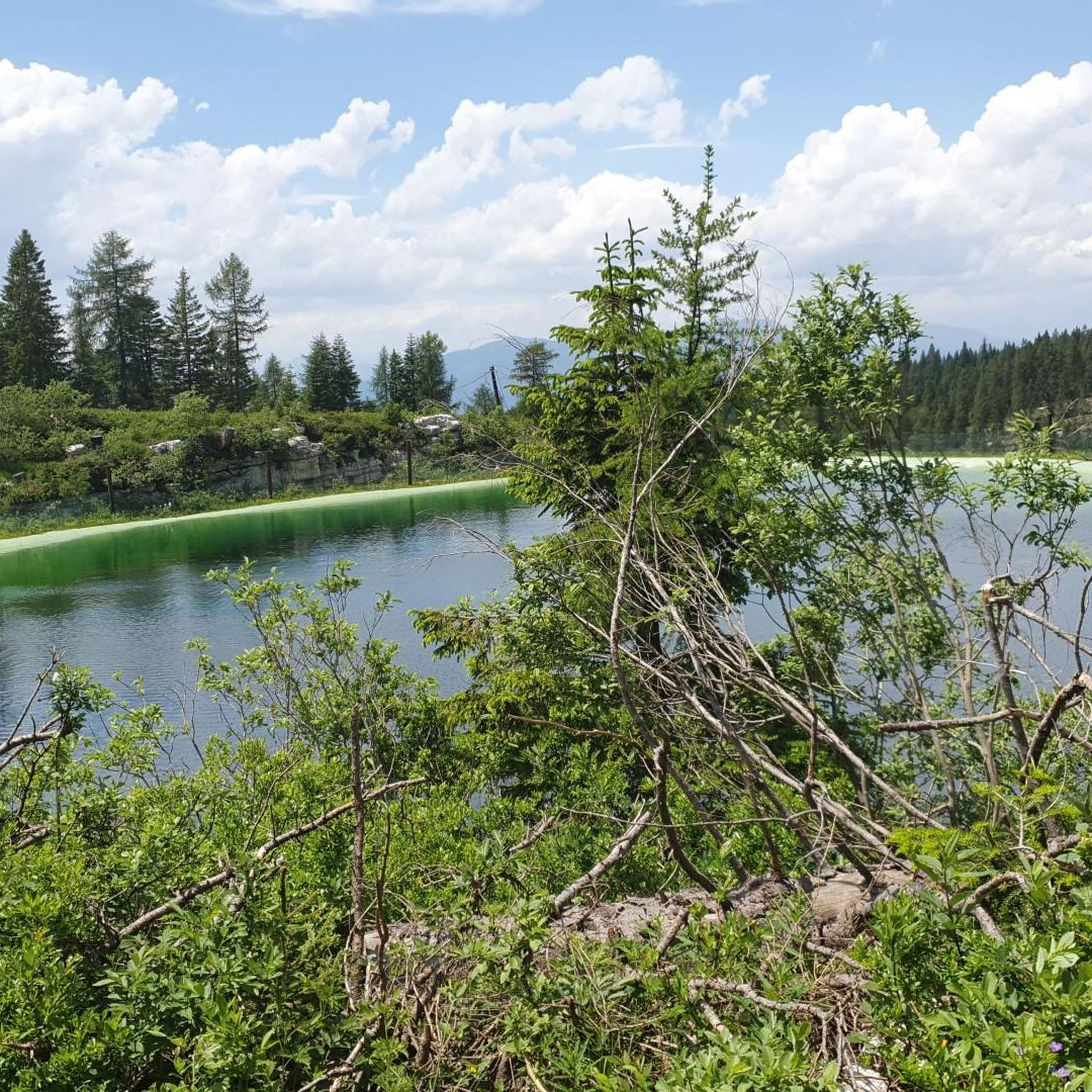
Running Trails in Sic Altopiano Dei Sette Comuni
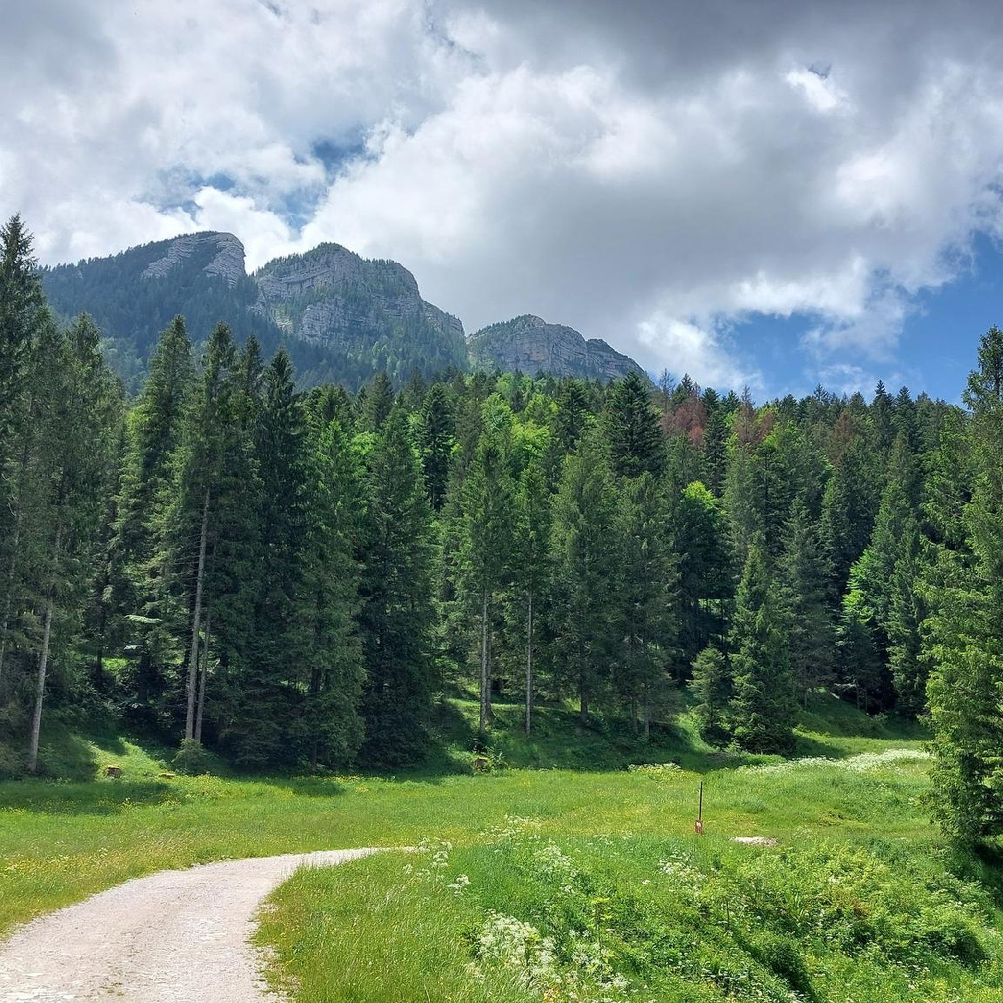
Cycling in Sic Altopiano Dei Sette Comuni

Mountain Hikes in Sic Altopiano Dei Sette Comuni
Other adventures in Sic Altopiano Dei Sette Comuni

Tips from the Community

The Italian fort that seems to have fired the first cannon shot against the Habsburg army and from there the war on the plateau began. It was immediately bombarded and put out of action by the Habsburg army which bombarded it from the fort of cima Vezzena, Spitz Verle
0
0
The refuge where you can refresh yourself at the end of the climb
0
0

The path to Monte Verena ran along the ski slope, which made the ascent less attractive for me. The view from Monte rewarded me again.
0
0

"...And like any self-respecting day in the mountains, it couldn't end like this. All together, over a hot chocolate with cream, in the cabin in the parking lot, we began to tell each other about our little great adventures. Because, after all, it is also there, between words, laughter, and warming hands, that Monte Verena continues to live..."
0
0
"...The fort was still, austere. A place that spoke of men tested by cold, fear, and anticipation. In that moment I felt small, but also strangely attuned..."
0
0

The summit is easily reachable with good training, the path is never dangerous or exposed, if you continue the tour towards Cima Larici you must pay close attention to the steep descent
0
0

Rifugio Verena is located on the Asiago Plateau at 2,020 meters above sea level, near the fort of the same name. It offers typical local cuisine and refreshment options, is open both in summer and winter, and can be reached via hiking trails or with a shuttle service. For information and contacts: www.rifugioforteverena.it.
1
0

Just below the summit of Mount Verena is the Mount Verena fort, a defensive bastion on the plateau of the 7 municipalities.
0
0
Frequently Asked Questions
How many hiking trails are available in Sic Altopiano Dei Sette Comuni?
The Sic Altopiano Dei Sette Comuni offers a wide variety of hiking experiences, with over 150 trails to explore. These routes cater to all skill levels, including easy, moderate, and difficult options.
What kind of terrain can I expect when hiking in the Altopiano dei Sette Comuni?
The Altopiano dei Sette Comuni features diverse terrain, ranging from lush forests and soft meadows in the central basin to dramatic ridges of karst-shaped rocks and peaks exceeding 2,300 meters. You'll encounter an alpine environment with unique geomorphology, including areas where water flows primarily through underground cavities.
Are there hiking options for beginners or those looking for an easier walk?
Yes, the region offers numerous trails suitable for beginners and those seeking easier walks. Out of over 150 routes, 19 are classified as easy, providing gentle paths through meadows and forests. Many of these routes are perfect for a leisurely day out, allowing you to enjoy the scenery without strenuous effort.
Can I explore historical World War I sites while hiking in the region?
Absolutely. The Altopiano dei Sette Comuni was a pivotal battlefield during World War I, and its landscapes are rich with historical traces. You can hike through sites like Monte Ortigara, Monte Cengio with its extensive tunnels, and the open-air Museum of Monte Zebio. A notable route is the Monte Verena Historic WWI Trail (via CAI 820), which leads directly through significant historical locations.
What natural landmarks or unique features can I discover on the trails?
The Altopiano dei Sette Comuni boasts remarkable natural features. You can explore the extensive karst phenomena, visit the unique peatlands of Piana di Marcesina, or discover the scenic Cascades of Pach near Rotzo. Notable natural monuments include the Castelloni of San Marco, a fascinating rock formation, and the impressive Portule Peak.
Are there any specific viewpoints or scenic spots worth visiting?
Yes, the plateau offers breathtaking viewpoints. For panoramic vistas, consider hiking towards Portule Peak. Another excellent spot is the Picnic area with a wonderful view at Bocchetta Portule, which provides stunning scenery perfect for a break.
Are there any circular hiking routes available?
Yes, the region offers several excellent circular routes. One popular option is the Cima Portule and Cima Larici — ring tour in the Altopiano dei sette comuni, which explores two prominent peaks. Another favorite is the Monte Verena Loop Trail, offering scenic views around Monte Verena.
What do other hikers enjoy most about hiking in Sic Altopiano Dei Sette Comuni?
The area is highly rated by the komoot community, with an average score of 4.5 stars from over 2,600 reviews. Hikers frequently praise the blend of natural beauty, from quiet woodlands to dramatic karst landscapes, and the profound historical significance of the World War I sites. The well-maintained network of trails and the opportunity to encounter diverse wildlife are also often highlighted.
Is the Altopiano dei Sette Comuni suitable for family hikes?
Yes, the Altopiano dei Sette Comuni is very suitable for family hikes. With 19 easy trails and many moderate options, there are plenty of routes that are not too strenuous and offer engaging scenery. The presence of traditional mountain huts (malghe) and art parks like Selvart also provides additional points of interest for children and adults alike.
Can I bring my dog on the hiking trails?
Generally, dogs are welcome on many hiking trails in the Altopiano dei Sette Comuni. However, it's always advisable to keep your dog on a leash, especially in areas with wildlife or near grazing livestock. Be mindful of local regulations and ensure your dog is well-behaved and doesn't disturb other hikers or the natural environment.
Are there any traditional mountain huts (malghe) or places to eat along the trails?
Yes, the region is known for its traditional 'malghe,' which are mountain huts often associated with tranquil walks and the production of the renowned Asiago cheese. Many of these offer refreshments or meals, providing a perfect stop during your hike to experience local culture and cuisine.
What is the best time of year to go hiking in the Altopiano dei Sette Comuni?
The warmer months, from late spring to early autumn, are generally the best time for hiking in the Altopiano dei Sette Comuni, offering pleasant temperatures and clear trails. During this period, you can fully enjoy the lush forests and meadows. Winter also offers opportunities for snowshoeing and winter hiking, but requires appropriate gear and conditions.
Most popular routes in Sic Altopiano Dei Sette Comuni
Most popular attractions in Sic Altopiano Dei Sette Comuni

Get inspired with the komoot mobile app


Explore more
Browse the best Hikes in other regions.
