Ammertal Im Bereich Der Ammerleite Und Talbachhänge
Ammertal Im Bereich Der Ammerleite Und Talbachhänge
The best running trails in Ammertal Im Bereich Der Ammerleite Und Talbachhänge
4.5
(294)
4,062
runners
308
runs
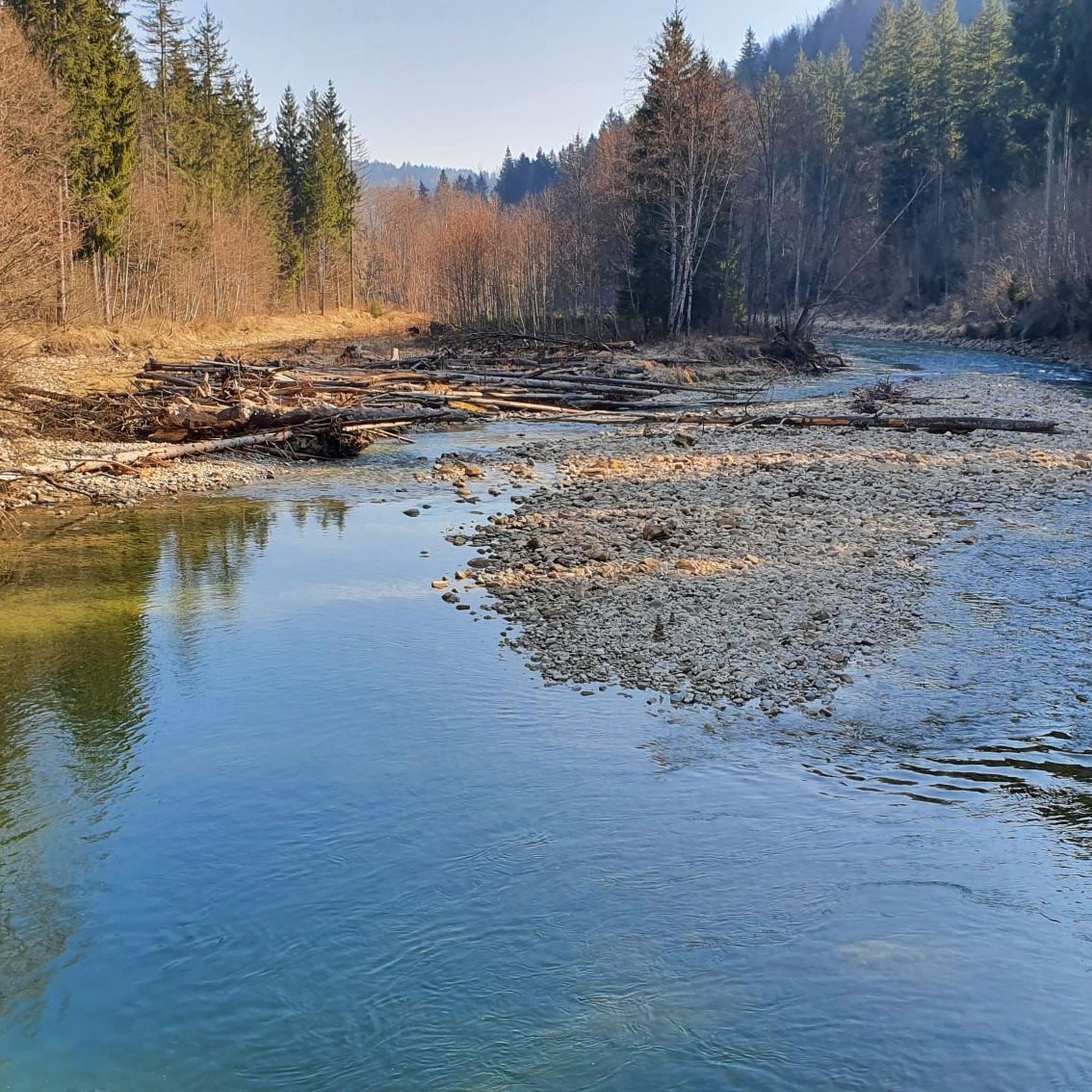
Jogging routes in Ammertal Im Bereich Der Ammerleite Und Talbachhänge traverse a landscape characterized by the Ammer river valley, its surrounding slopes, and tributary stream valleys. The region features varied terrain, including forested sections, open areas along the river, and gentle to moderate inclines. These running routes offer opportunities to explore the natural environment of the Ammerleite and Talbachhänge.
Best jogging routes in Ammertal Im Bereich Der Ammerleite Und Talbachhänge
- The most popular jogging route is Running loop from Hinweisschild…
Last updated: September 1, 2026
15
runners
Hard run. Very good fitness required. Sure-footedness, sturdy shoes and alpine experience required.
5
runners
Moderate run. Good fitness required. Mostly paved surfaces. Suitable for all skill levels.

Sign up for free
5.0
(2)
23
runners
14.8km
01:59
350m
350m
Hard run. Very good fitness required. Sure-footedness, sturdy shoes and alpine experience required.
4.6
(5)
5
runners
9.82km
01:08
140m
140m
Moderate run. Good fitness required. Mostly paved surfaces. Suitable for all skill levels.
2
runners
18.0km
02:19
480m
480m
Hard run. Very good fitness required. Sure-footedness, sturdy shoes and alpine experience required.
Get access to more routes and recommendations from other explorers.
Sign up for free
Already have an account?
Our route recommendations are based on thousands of hikes, rides, and runs completed by other people on komoot.
Start today with a free account
Your next adventure awaits.
Login or Signup
Popular around Ammertal Im Bereich Der Ammerleite Und Talbachhänge
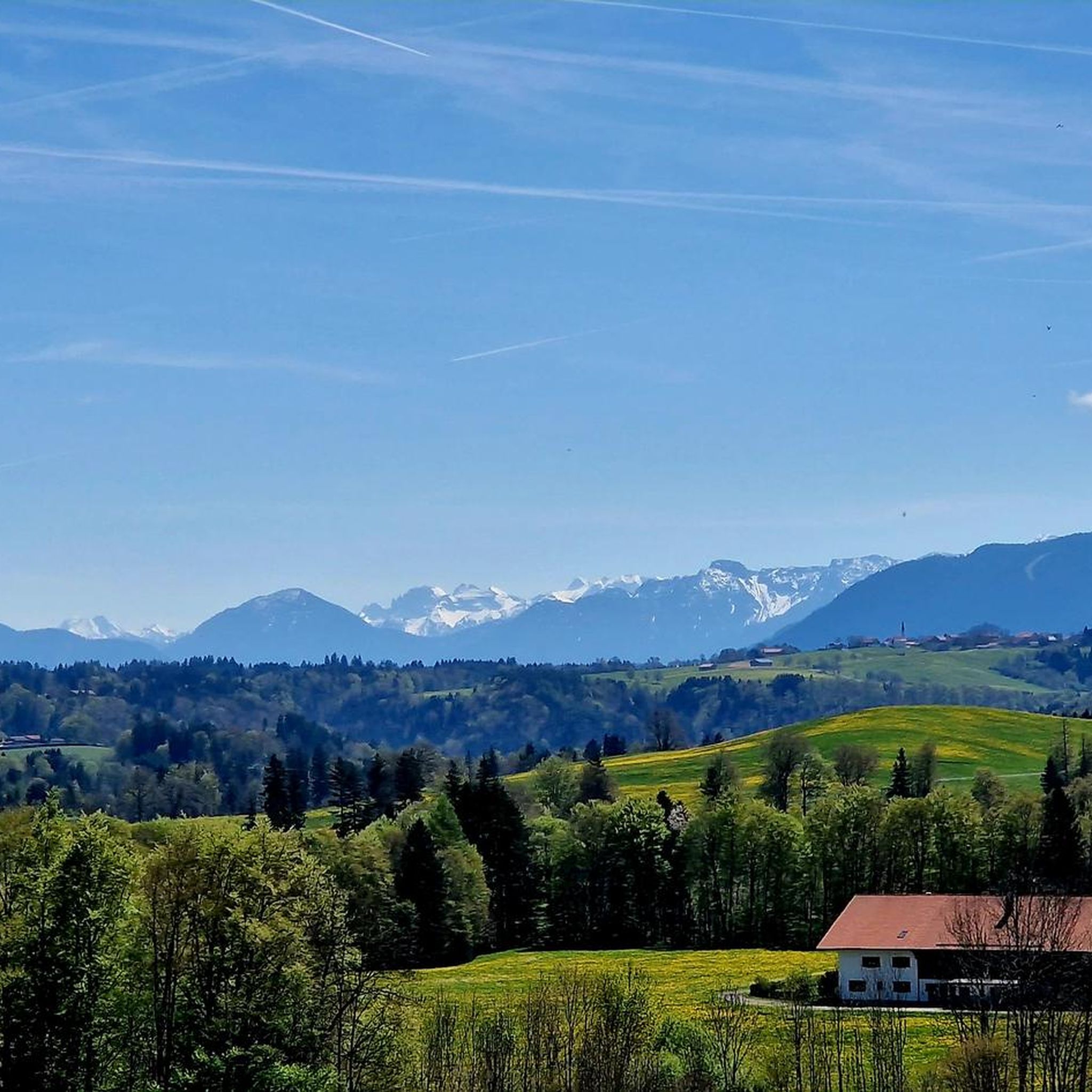
Hiking in Ammertal Im Bereich Der Ammerleite Und Talbachhänge
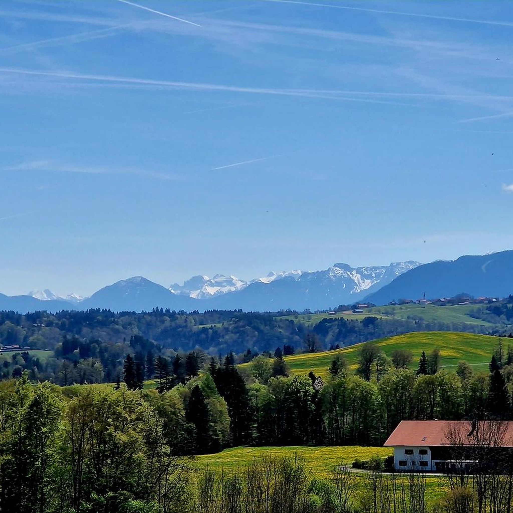
Road Cycling Routes in Ammertal Im Bereich Der Ammerleite Und Talbachhänge
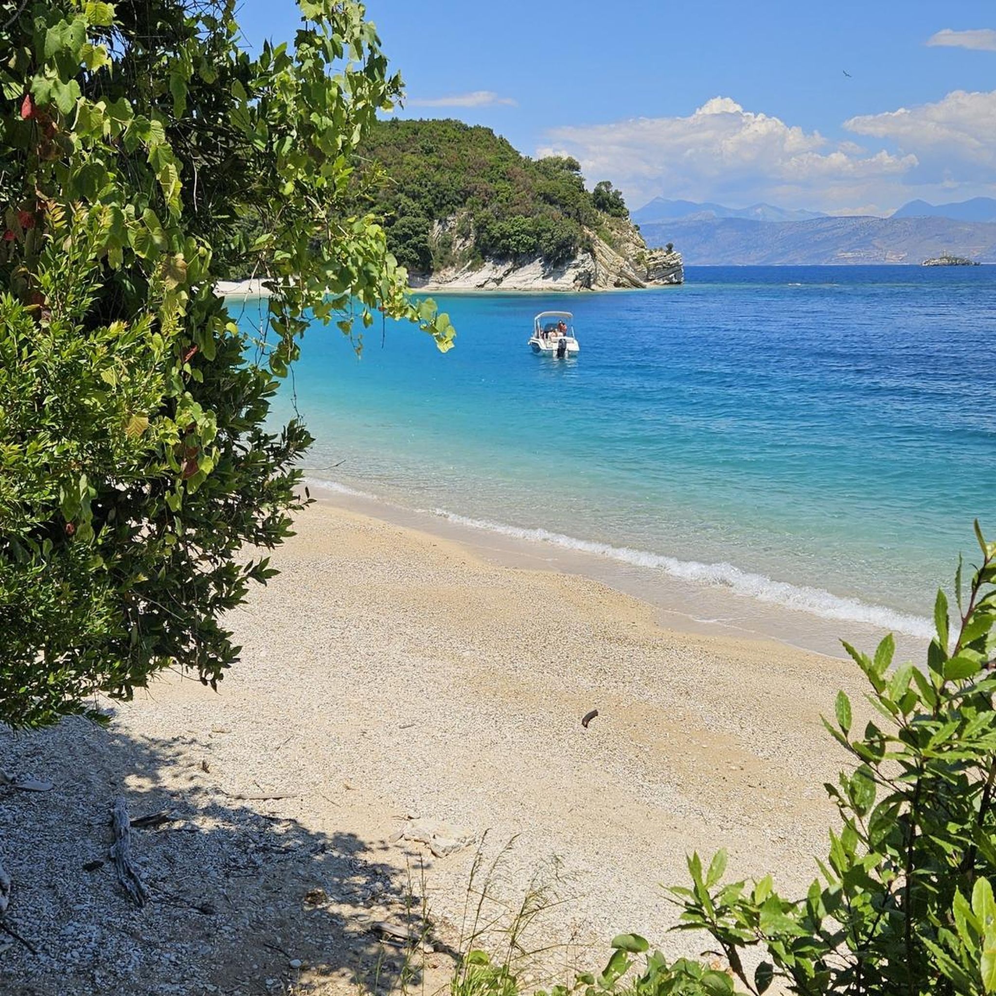
Gravel biking in Ammertal Im Bereich Der Ammerleite Und Talbachhänge
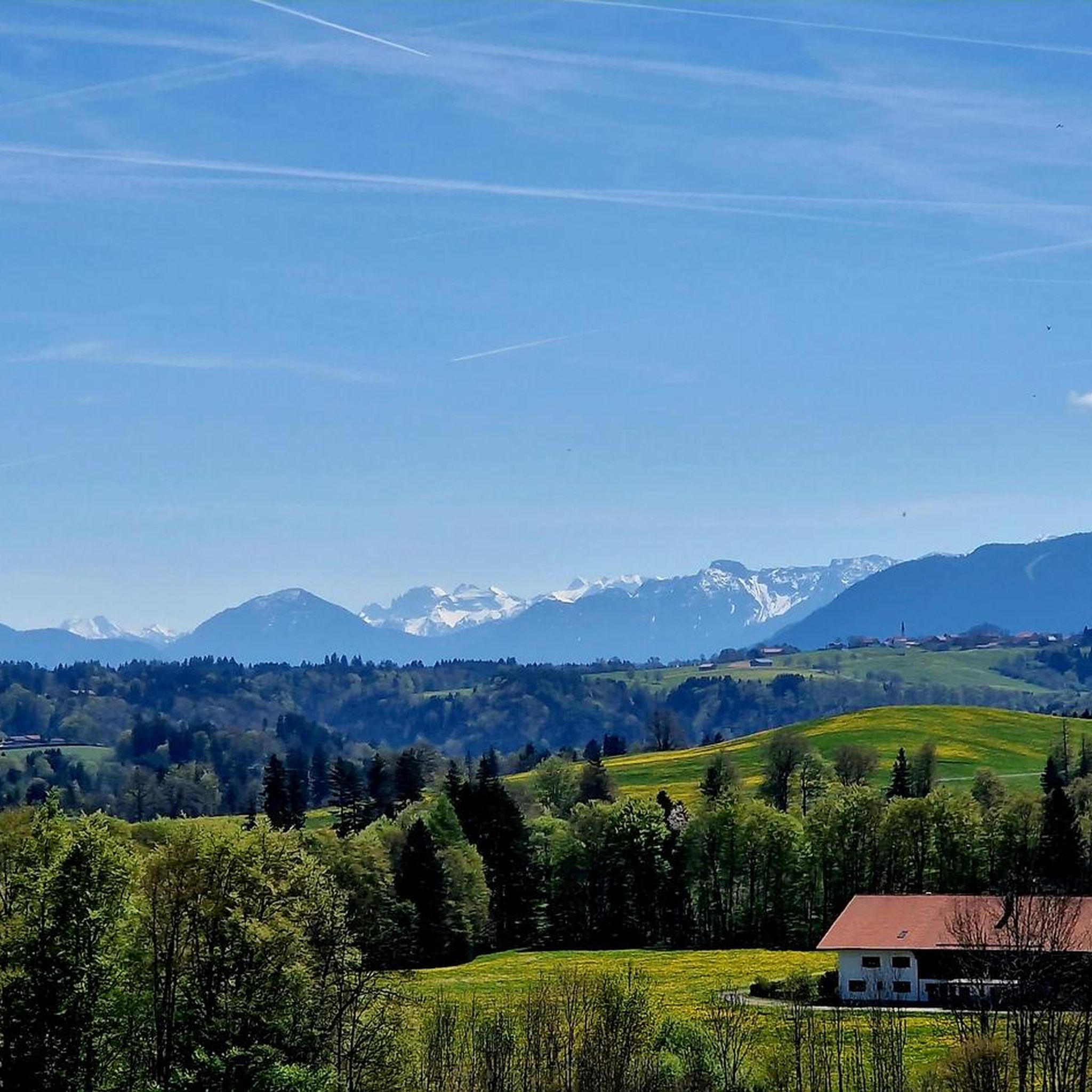
Cycling in Ammertal Im Bereich Der Ammerleite Und Talbachhänge
MTB Trails in Ammertal Im Bereich Der Ammerleite Und Talbachhänge

Mountain Hikes in Ammertal Im Bereich Der Ammerleite Und Talbachhänge
Tips from the Community

Interesting whim of nature
0
0

Schnalz 901m above sea level Alpine panorama
1
0

Hall church from 1638 with extensions in 1796-1798 and 1898. Northern tower with curved dome
0
0

Rustic Waldhaus Schnalz in the middle of the forest
3
0
Waldhaus Schnalz in the middle of the forest – probably used by a fishing club…
3
0
Beautiful Ammer weir, over which the Ammer rushes down
3
0


The crystal in the summit cross of Schnalz near Böbing has a complex meaning that encompasses both cultural and spiritual aspects. It symbolizes purity and clarity and is often associated with healing properties that provide comfort and protection to visitors. In addition, the crystal represents a deep connection to nature as it is a natural mineral that comes from the earth. Its use in the cross can also symbolize the energy and power of the people who climb the mountains. Overall, the crystal embodies a deeper connection to spirituality, nature and the values associated with the summit cross, thus contributing to the significance of this place as a spiritual retreat and cultural heritage.
0
0
Frequently Asked Questions
How many running routes are available in Ammertal Im Bereich Der Ammerleite Und Talbachhänge?
The Ammertal region offers a comprehensive network of nearly 300 running routes. This includes 39 easy, over 200 moderate, and 50 difficult options, catering to various fitness levels.
Are there easy running routes suitable for beginners in Ammertal Im Bereich Der Ammerleite Und Talbachhänge?
Yes, there are 39 easy running routes perfect for beginners or those looking for a more relaxed pace. These trails typically feature gentler inclines and less challenging terrain.
What kind of terrain can I expect on the running trails in the Ammertal region?
The running trails in Ammertal Im Bereich Der Ammerleite Und Talbachhänge traverse a diverse landscape. You can expect a mix of forested sections, open areas along the Ammer river, and gentle to moderate inclines, characteristic of the river valley and its surrounding slopes.
Are there any circular running routes in Ammertal Im Bereich Der Ammerleite Und Talbachhänge?
Many routes in the region are designed as loops. For example, the Schnalz Summit loop from Böbing offers a moderate 6.5 km run with scenic views, and the Badeplatz Lugenauer See loop from Böbing is another moderate 6.6 km option.
What attractions or landmarks can I see while running in the Ammertal?
Several routes offer views of notable landmarks. You might encounter the historic Kalkofensteg Wooden Bridge, explore sections of the Ammerschlucht Gorge Trail, or pass by the unique Sinter terraces in the Ammerschlucht. The Ammer Riverbank and Sandbank also provide picturesque spots.
What do other runners say about the trails in Ammertal Im Bereich Der Ammerleite Und Talbachhänge?
The running routes in this area are highly regarded by the komoot community, holding an average rating of 4.5 stars from over 260 reviews. Runners frequently praise the varied terrain and the natural beauty of the river valleys and wooded slopes.
Are the running routes in Ammertal Im Bereich Der Ammerleite Und Talbachhänge dog-friendly?
Many trails in the Ammertal region are suitable for running with dogs, especially those through forested areas and along the river. It's always advisable to keep your dog on a leash, especially in nature protection areas or when encountering wildlife, and to respect local regulations.
Are there options for longer distance running in the Ammertal?
Yes, for those seeking longer runs, routes like the Kalkofensteg Wooden Bridge loop from Ramsau cover a substantial 14.8 km, leading through diverse riverine landscapes and forested slopes.
Can I find family-friendly running paths in this region?
The 39 easy routes are generally well-suited for families, offering less strenuous paths. Look for trails that stick to the flatter sections along the Ammer river for a more relaxed family outing.
Are there any viewpoints along the running trails in Ammertal Im Bereich Der Ammerleite Und Talbachhänge?
Yes, some routes offer elevated sections with good views. The Stairway to Schnalzgipfel is a highlight that suggests panoramic vistas, and trails through the Ammerleite often provide scenic outlooks over the valley.
Where can I find parking for the running routes?
While specific parking details vary by trailhead, many popular starting points for routes, such as those near Hinweisschild "Zufahrt WM-1053" or Ramsau, typically have designated parking areas. It's recommended to check the individual route descriptions on komoot for precise parking information.
Are there any hidden gems or less-trafficked running trails in the Ammertal?
With nearly 300 routes, including many moderate and difficult options, there are plenty of opportunities to discover quieter paths away from the most popular spots. Exploring the smaller tributary stream valleys often leads to more secluded running experiences.
Most popular routes in Ammertal Im Bereich Der Ammerleite Und Talbachhänge
Most popular attractions in Ammertal Im Bereich Der Ammerleite Und Talbachhänge

Get inspired with the komoot mobile app


Explore more
Browse the best Running Trails & Routes in other regions.
