Ammertal Im Bereich Der Ammerleite Und Talbachhänge
Ammertal Im Bereich Der Ammerleite Und Talbachhänge
The best mountain hikes in Ammertal Im Bereich Der Ammerleite Und Talbachhänge
4.2
(17)
88
hikers
9
hikes
Mountaineering routes in Ammertal Im Bereich Der Ammerleite Und Talbachhänge offer a diverse landscape within the Ammergau Alps Nature Park. The region is characterized by wild mountain forests, barren rocks, and the rugged Ammerschlucht Gorge, often featuring steep, demanding paths. Prominent peaks like Mount Kofel and Hochplatte provide varied climbing opportunities, from easy via ferratas to challenging summit tours. This area presents a compelling blend of natural features suitable for various levels of mountaineering expertise.
Best mountaineering routes in Ammertal…
Last updated: August 25, 2026
5.0
(2)
12
hikers
9.06km
03:01
360m
360m
Moderate mountaineering route. Good fitness required. Mostly accessible paths. Sure-footedness required.
3
hikers
4.24km
01:23
180m
180m
Easy mountaineering route. Great for any fitness level. Easily-accessible paths. Suitable for all skill levels.

Sign up for free
1
hikers
4.54km
01:33
200m
200m
Moderate mountaineering route. Great for any fitness level. Mostly accessible paths. Sure-footedness required.
2
hikers
5.11km
01:33
190m
190m
Easy mountaineering route. Great for any fitness level. Easily-accessible paths. Suitable for all skill levels.
3
hikers
10.6km
03:33
400m
400m
Moderate mountaineering route. Good fitness required. Mostly accessible paths. Sure-footedness required.
Get access to more routes and recommendations from other explorers.
Sign up for free
Already have an account?
Our route recommendations are based on thousands of hikes, rides, and runs completed by other people on komoot.
Start today with a free account
Your next adventure awaits.
Login or Signup
Popular around Ammertal Im Bereich Der Ammerleite Und Talbachhänge
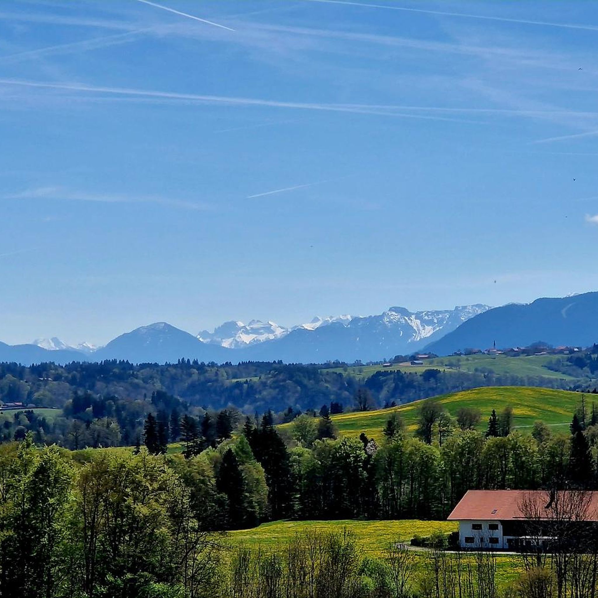
Hiking in Ammertal Im Bereich Der Ammerleite Und Talbachhänge
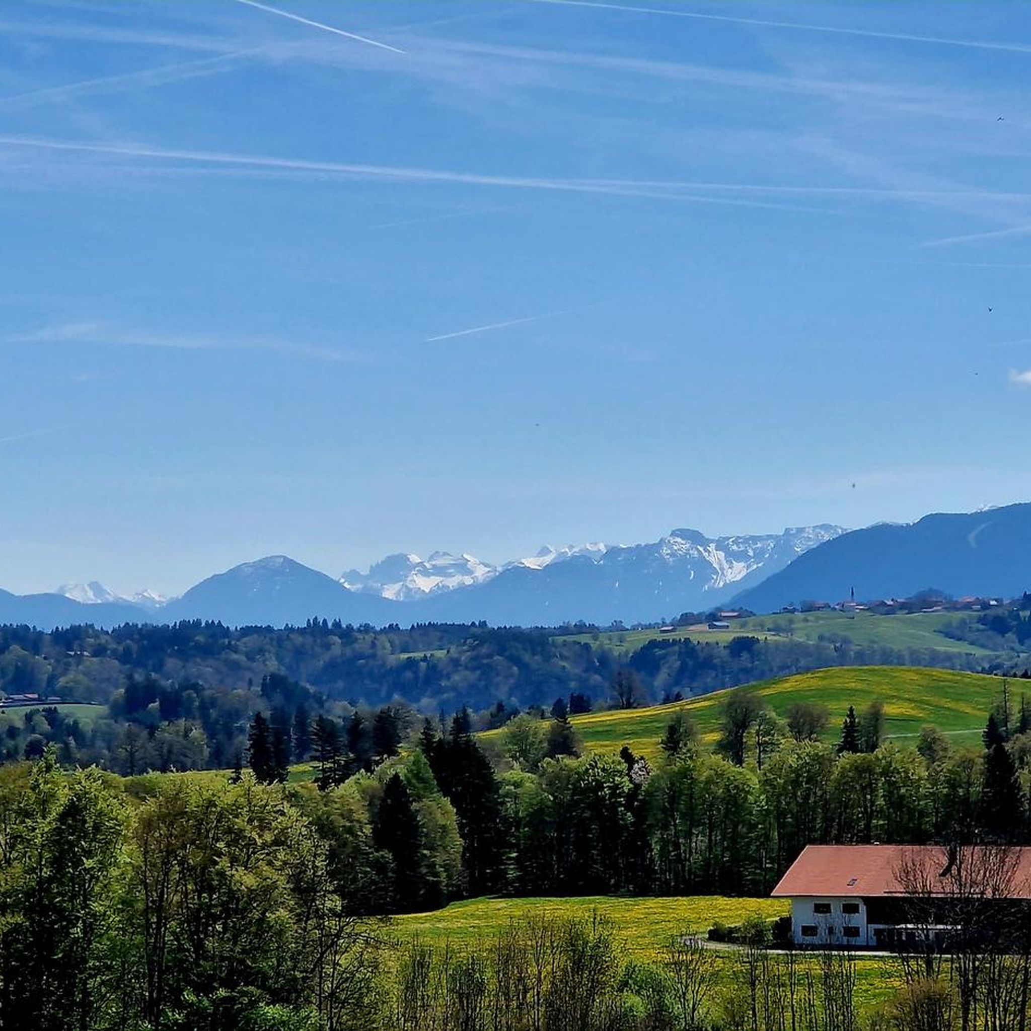
Road Cycling Routes in Ammertal Im Bereich Der Ammerleite Und Talbachhänge
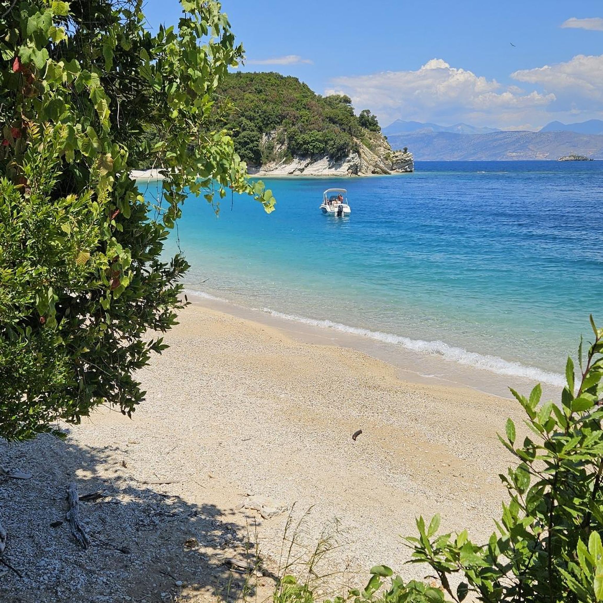
Gravel biking in Ammertal Im Bereich Der Ammerleite Und Talbachhänge
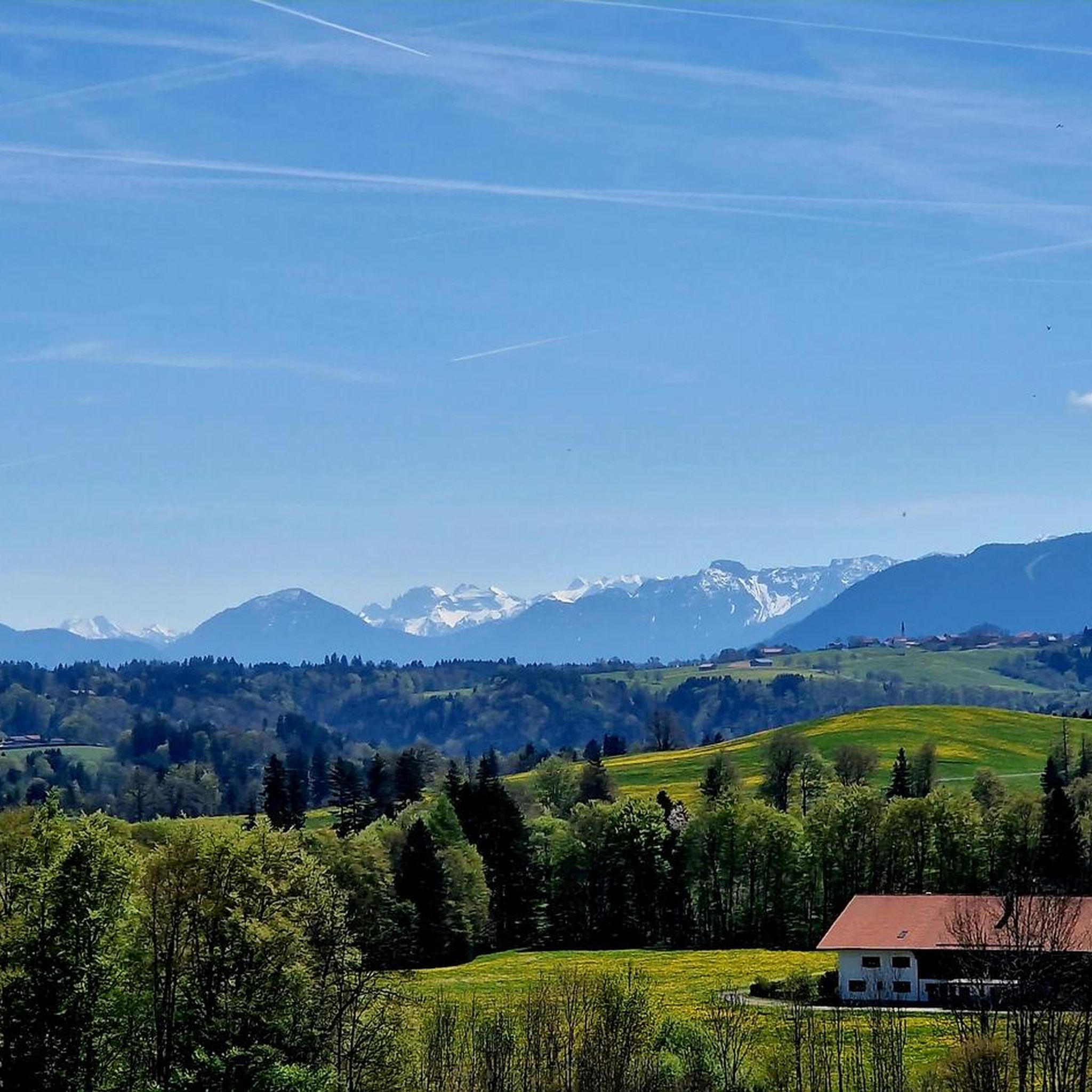
Cycling in Ammertal Im Bereich Der Ammerleite Und Talbachhänge
MTB Trails in Ammertal Im Bereich Der Ammerleite Und Talbachhänge
Running Trails in Ammertal Im Bereich Der Ammerleite Und Talbachhänge
Tips from the Community

On the side road, it goes up to the Hohen Peißenberg.
1
0

Interesting whim of nature
0
0

Beautiful view in all directions that you can enjoy from the Hohen Peißenberg
0
0
Good inn in Hohenpeißenberg
1
0
Great view in all directions from Bayrischen Rigi
1
0
Great view of the mountains
1
0
Small Herz-Jesu chapel on the path on the western side of Hohenpeißenberg
1
0
Beautiful view of the Alps mountain range
1
0
Frequently Asked Questions
How many mountaineering routes are available in Ammertal Im Bereich Der Ammerleite Und Talbachhänge?
There are 9 dedicated mountaineering routes in Ammertal Im Bereich Der Ammerleite Und Talbachhänge, offering a range of experiences from easy to moderate difficulty.
What are the typical difficulty levels for mountaineering routes in this region?
The routes in Ammertal Im Bereich Der Ammerleite Und Talbachhänge primarily feature easy and moderate difficulty levels. You'll find 2 easy routes and 7 moderate routes, making it accessible for various skill sets. While there are no routes officially rated as 'difficult' in our selection, some sections, particularly within the Ammerschlucht Gorge, can be very demanding and require good surefootedness.
Are there any challenging mountaineering routes for experienced climbers?
For those seeking a challenge, the region offers demanding sections and peaks. The ascent to the Schnalzgipfel from the Kalkofensteg Wooden Bridge involves a very steep climb with numerous steps. More broadly, the Ammer Mountains, including peaks like the Hochplatte and Kreuzspitze, provide challenging summit tours and alpine routes, with Mount Kofel even featuring an easy via ferrata with exposed sections.
What natural features can I expect to see along the mountaineering routes?
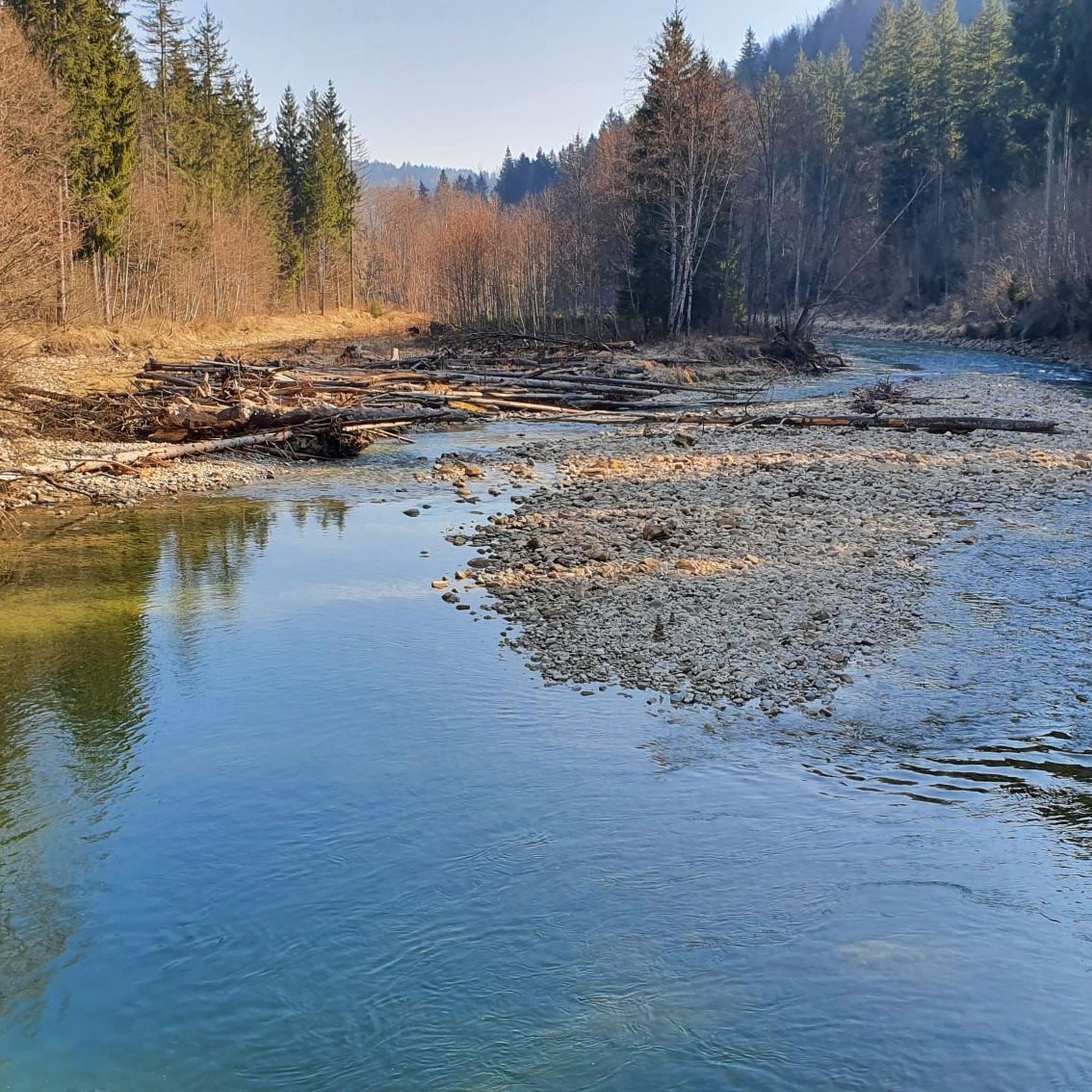
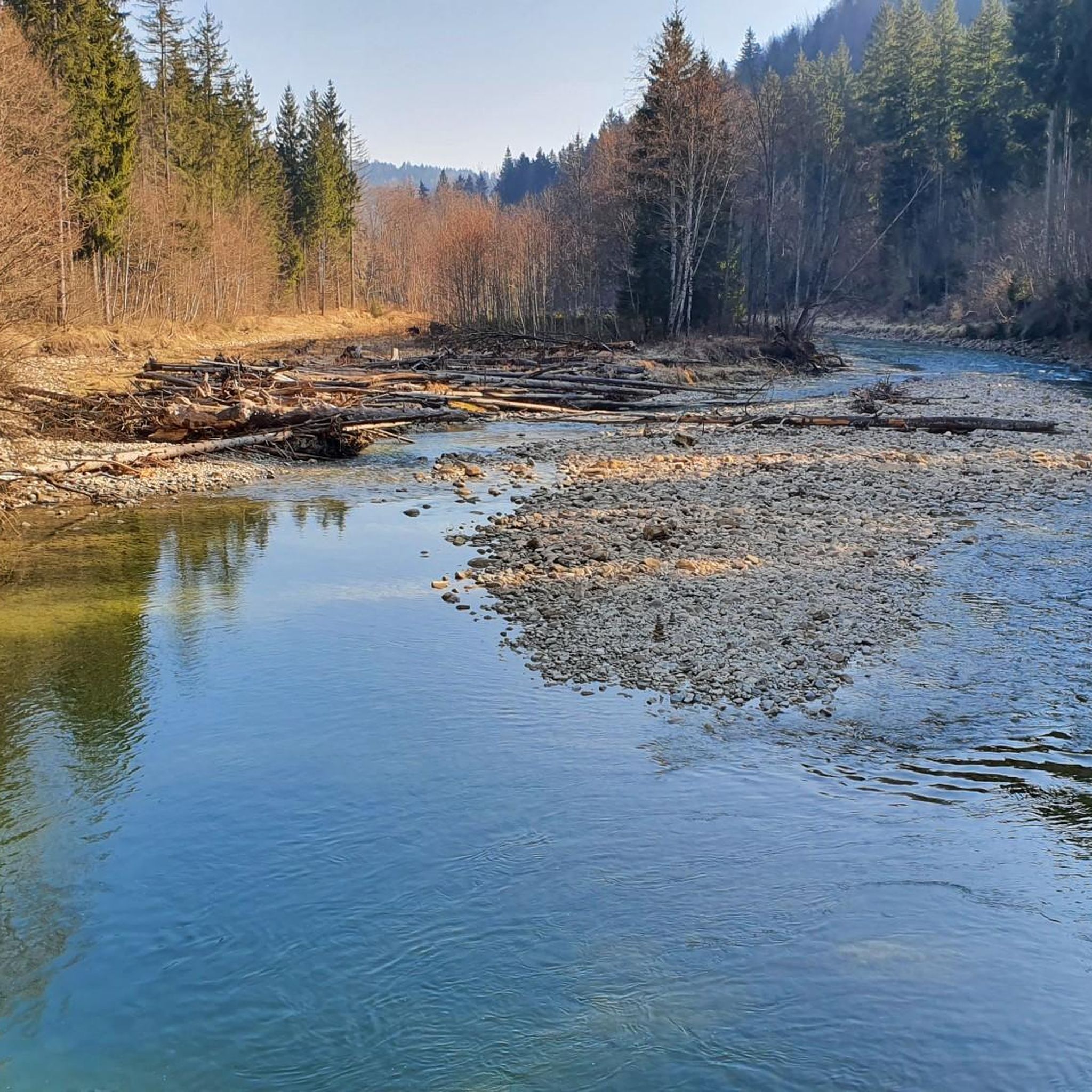
The region is rich in natural beauty. You can explore the dramatic Ammerschlucht Gorge Trail, often called Bavaria's 'Grand Canyon,' with its narrow paths and steep hillside forests. Don't miss the unique sinter terraces in the Ammerschlucht, formed by groundwater reactions, or the impressive Schnalzhöhlen (Stone Chambers). The Kalkofensteg Wooden Bridge also provides access to large gravel banks along the Ammer River.
Are there any circular mountaineering routes in the area?
Yes, several routes are designed as loops. For example, the View of the Observatory loop from Hohenpeißenberg is a moderate 3.08 km route, and the View from Hohenpeißenberg – Herz-Jesu Chapel loop from Hohenpeißenberg offers an easy 5.1 km option with scenic views.
What do other mountaineers enjoy the most about mountaineering in Ammertal Im Bereich Der Ammerleite Und Talbachhänge?
The area is highly rated by the komoot community, with an average score of 4.5 stars from 14 reviews. Mountaineers often praise the diverse landscape, the wild beauty of the Ammerschlucht Gorge, and the varied terrain that caters to different skill levels. The blend of challenging climbs and scenic viewpoints is frequently highlighted.
Are there any family-friendly mountaineering options?
While many routes involve demanding terrain, some of the easier loops can be suitable for families with older children who are accustomed to hiking. The Schnalz loop from Böbing is an easy 4.3 km route that might be a good starting point. Always check the specific route details for elevation gain and terrain to ensure it matches your family's capabilities.
What is the best time of year for mountaineering in this region?
The Ammergau Alps Nature Park is generally best explored from spring through autumn. During these seasons, trails are typically clear of snow, and the weather is more stable. The Ammerschlucht Gorge paths can be muddy after rain, so good footwear is essential regardless of the season. Winter mountaineering is possible but requires specialized equipment and experience due to snow and ice conditions.
Are there any regulations to be aware of when mountaineering in the Ammergau Alps Nature Park?
Yes, Ammertal im Bereich der Ammerleite und Talbachhänge is part of the Ammergau Alps Nature Park, Bavaria's largest nature reserve. It's important to stay on marked trails, respect wildlife, and carry out all trash. Specific regulations regarding permits for certain activities or areas might apply, so it's always advisable to check with local park authorities before your trip, especially for off-trail or climbing activities.
Where can I find parking for mountaineering routes?
Parking is generally available near trailheads, especially in towns like Hohenpeißenberg and Ramsau, which serve as starting points for many routes. For instance, routes like the Hoher Peißenberg loop from Hohenpeißenberg typically have designated parking areas nearby. It's recommended to check specific route descriptions or local signage for the most convenient parking options.
Can I access mountaineering routes using public transport?
The Ammergau Alps region has public transport connections, and some trailheads may be accessible by bus or train, particularly from larger towns. While direct access to every remote trailhead might be limited, key starting points like Oberammergau (for Mount Kofel) or Hohenpeißenberg often have public transport links. Planning your journey in advance using local transport schedules is advisable.
Are there any routes that offer significant elevation gain?
Absolutely. The region is known for its varied terrain, including significant ascents. The Schnalz – Schnalz Höhle - Teufelsküche loop from Ramsau, for example, features an elevation gain of over 360 meters, providing a good workout. The ascent to the Schnalzgipfel also involves a very steep climb of over 200 meters, largely via countless steps.
Most popular routes in Ammertal Im Bereich Der Ammerleite Und Talbachhänge
Most popular attractions in Ammertal Im Bereich Der Ammerleite Und Talbachhänge

Get inspired with the komoot mobile app


Explore more
Browse the best Mountain Hikes & Routes in other regions.
