Ammertal Im Bereich Der Ammerleite Und Talbachhänge
Ammertal Im Bereich Der Ammerleite Und Talbachhänge
The best MTB trails in Ammertal Im Bereich Der Ammerleite Und Talbachhänge
4.6
(2044)
8,191
riders
330
rides
Mountain bike trails in Ammertal Im Bereich Der Ammerleite Und Talbachhänge offer diverse terrain within the Ammergau Alps Nature Park. The region features river valleys, varied topography including the Ammerleite, and is surrounded by Alpine peaks and rolling hills. While the specific Ammertal nature reserve has cycling restrictions, the broader area provides extensive mountain biking opportunities.
Best mountain bike trails in Ammertal Im Bereich Der Ammerleite Und Talbachhänge
- The most popular mountain bike trail is Echelsbacher Bridge – Rottenbuch Abbey…
Last updated: May 28, 2026
4.5
(29)
122
riders
46.8km
03:05
380m
380m
Moderate mountain bike ride. Good fitness required. Advanced riding skills necessary.
4.5
(6)
34
riders
32.1km
02:00
400m
400m
Moderate mountain bike ride. Good fitness required. Suitable for all skill levels.

Sign up for free
3.8
(4)
16
riders
38.7km
03:39
940m
940m
Hard mountain bike ride. Very good fitness required. Advanced riding skills necessary. Some portions of the route may require you to push your bike.
4.5
(2)
21
riders
34.2km
02:13
430m
430m
Moderate mountain bike ride. Good fitness required. Suitable for all skill levels.
4.5
(2)
9
riders
21.4km
01:34
280m
280m
Easy mountain bike ride. Great for any fitness level. Suitable for all skill levels.
Get access to more routes and recommendations from other explorers.
Sign up for free
Already have an account?
Our route recommendations are based on thousands of hikes, rides, and runs completed by other people on komoot.
Start today with a free account
Your next adventure awaits.
Login or Signup
Popular around Ammertal Im Bereich Der Ammerleite Und Talbachhänge
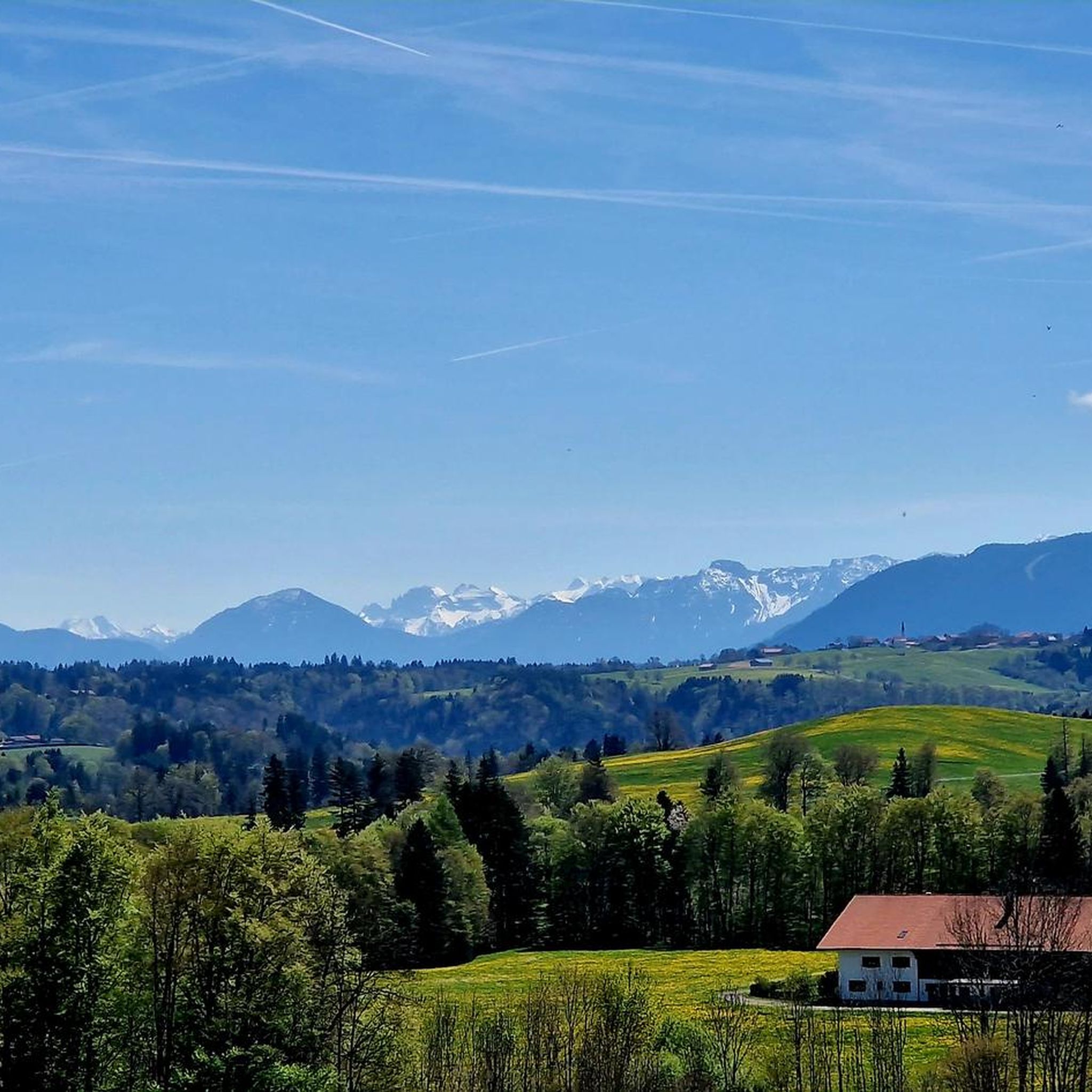
Hiking in Ammertal Im Bereich Der Ammerleite Und Talbachhänge
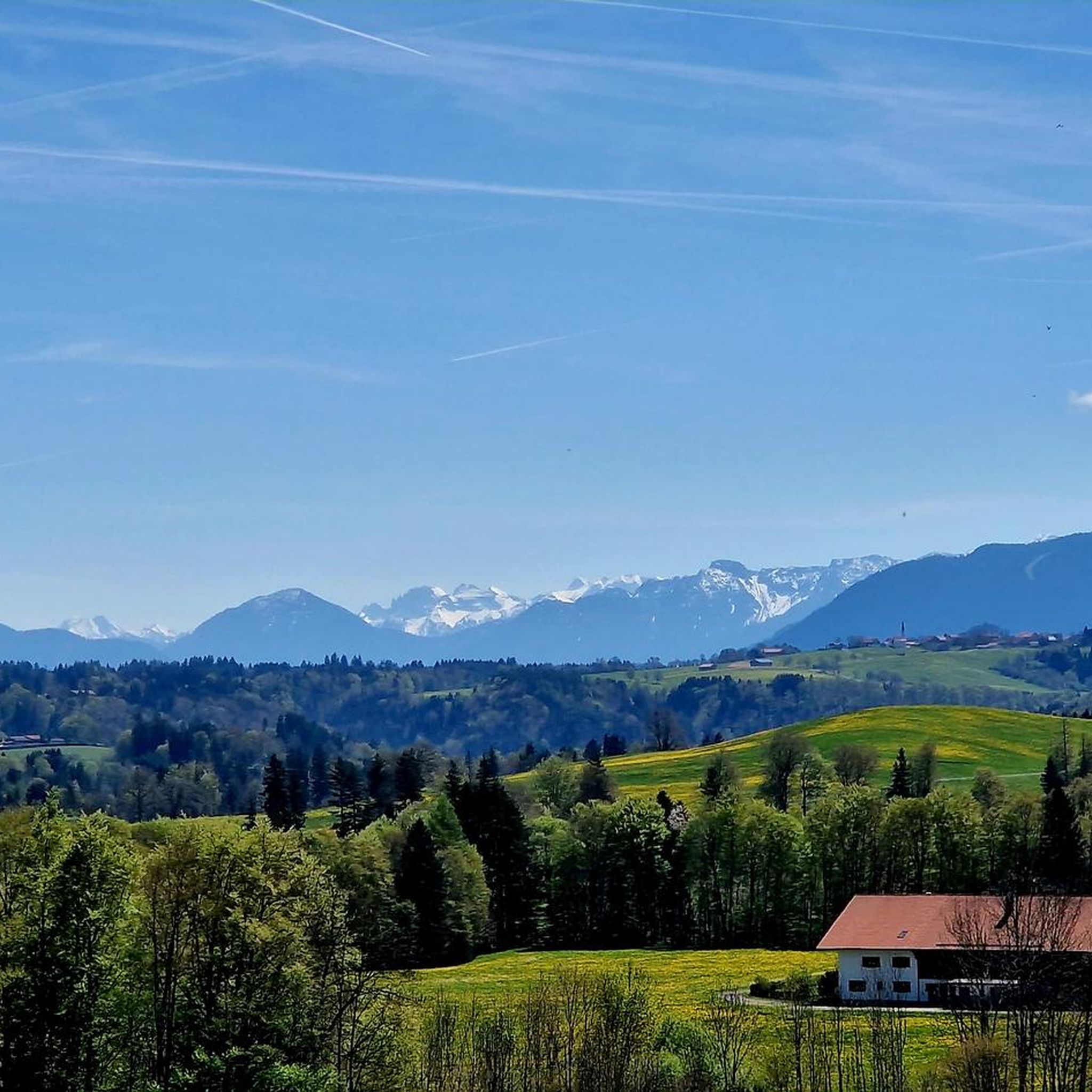
Road Cycling Routes in Ammertal Im Bereich Der Ammerleite Und Talbachhänge
Gravel biking in Ammertal Im Bereich Der Ammerleite Und Talbachhänge
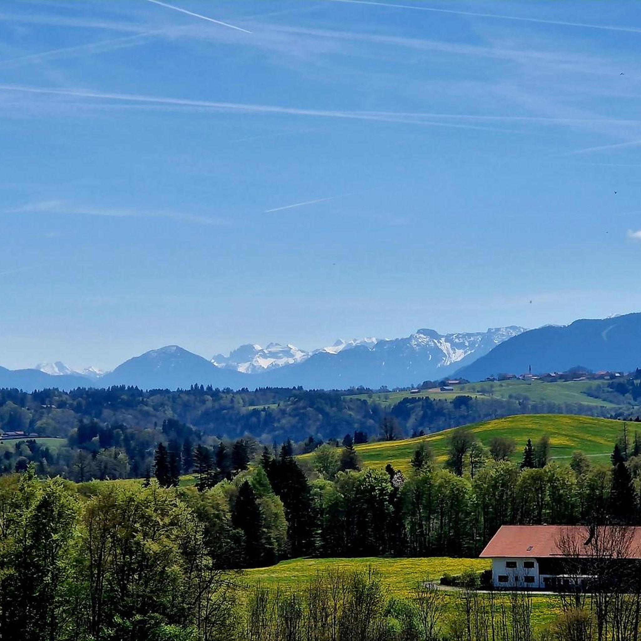
Cycling in Ammertal Im Bereich Der Ammerleite Und Talbachhänge
Running Trails in Ammertal Im Bereich Der Ammerleite Und Talbachhänge

Mountain Hikes in Ammertal Im Bereich Der Ammerleite Und Talbachhänge
Tips from the Community

Lech dam 6 (Dornau) with a view of Schongau
3
0

Along both sides of the Ammer from Unterammergau to Oberammergau
0
1

Great impression when you look down from the bridge.
0
0

Here you can take a break and see dreamlike things in the distance
0
0

The trail down to the Lido is pretty cool
0
0


Asphalted foot / cycle path along the Ammer
1
0

Schnaidbergalm, very nice overnight accommodation
0
0
Frequently Asked Questions
How many mountain bike trails are available in Ammertal Im Bereich Der Ammerleite Und Talbachhänge?
The region offers a wide selection of mountain bike routes, with over 320 trails available. These range from easy to difficult, catering to various skill levels.
Are there any restrictions for mountain biking in the Ammertal Im Bereich Der Ammerleite Und Talbachhänge nature reserve?
Yes, within the designated Ammertal nature reserve, certain paths have restrictions. For instance, cycling is not allowed on trails like the Stairway to Schnalzgipfel, which leads from the Ammerschlucht. The Ammerschlucht Gorge Trail itself is very demanding even for hikers and may be unsuitable or prohibited for bikes in some sections due to its sensitive ecological status. Always respect local signage and regulations.
What kind of terrain can I expect on mountain bike trails in this region?
Mountain biking in Ammertal Im Bereich Der Ammerleite Und Talbachhänge features diverse terrain, including picturesque river valleys, varied topography with areas like the Ammerleite, and surrounding Alpine peaks and rolling hills. You'll find everything from gentle paths along the Ammer River to more challenging sections with elevation changes.
Are there mountain bike trails suitable for beginners or families?
Yes, the region offers 76 easy mountain bike routes. An excellent option for a more relaxed ride is the Rottenbuch Abbey – Echelsbacher Bridge loop from Rottenbuch, which is 12.8 km long and features minimal elevation gain.
What are some notable natural features or landmarks I can see while mountain biking?
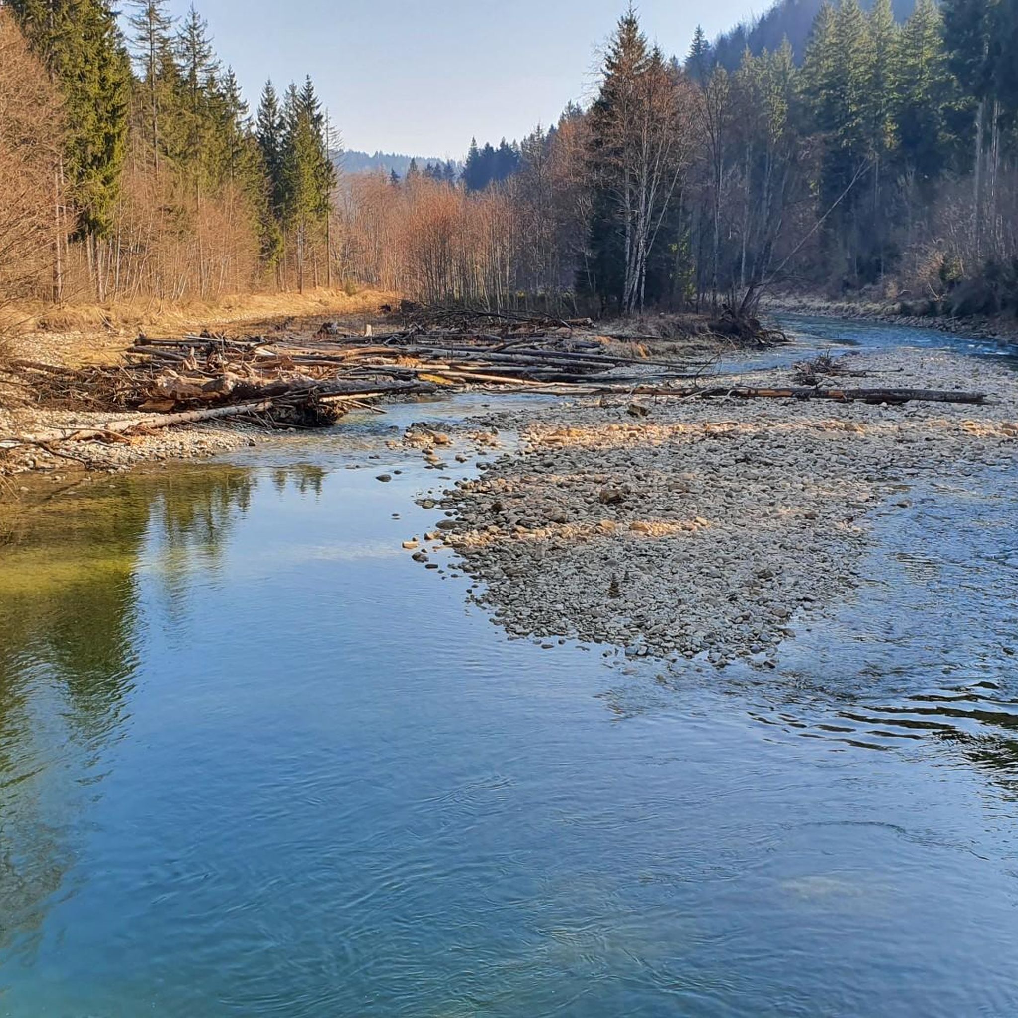
The region is rich in natural beauty. You can encounter dramatic gorges like the Ammerschlucht, unique Sinter terraces in the Ammerschlucht, and the wild Ammer River with its gravel banks. The Kalkofensteg Wooden Bridge is also a prominent highlight within the Ammerschlucht.
Are there any challenging mountain bike routes for experienced riders?
Yes, for experienced riders, there are 33 difficult mountain bike trails. A challenging option is the Lake Schwaig – Echelsbacher Bridge loop from Rottenbuch, a 38.3 km path with significant elevation changes, offering varied terrain around Lake Schwaig and towards the Echelsbacher Bridge.
Are there any circular mountain bike routes in the area?
Many of the mountain bike trails in Ammertal Im Bereich Der Ammerleite Und Talbachhänge are designed as loops. For example, the Echelsbacher Bridge – Rottenbuch Abbey loop from Böbing is a popular 32.1 km circular route that offers scenic views and passes by Rottenbuch Abbey.
What do other mountain bikers say about the trails in Ammertal Im Bereich Der Ammerleite Und Talbachhänge?
The mountain bike routes in this region are highly rated by the komoot community, with an average score of 4.6 stars from over 1900 reviews. Reviewers often praise the diverse terrain, scenic landscapes, and the variety of options available for different ability levels.
Can I find trails that offer scenic viewpoints?
Absolutely. Many routes provide stunning vistas. Consider the View of Schwaltenweiher – View of the Lech loop from Böbing, a 34.2 km trail that leads through picturesque landscapes with views of Schwaltenweiher and the Lech River.
Are there any easy routes that pass by lakes or natural monuments?
Yes, an easy route that takes you past natural beauty is the Lugenauer See – Geigersau Viewpoint loop from Böbing. This 21.4 km trail offers views of Lugenauer See and the Geigersau Viewpoint, making it a pleasant ride for those seeking natural monuments.
What is the best time of year for mountain biking in Ammertal Im Bereich Der Ammerleite Und Talbachhänge?
The Ammergau Alps region, including Ammertal, is generally best for mountain biking from spring through autumn. During these seasons, trails are typically clear of snow, and the weather is more favorable for outdoor activities. Always check local weather conditions before heading out.
Are there opportunities for gravel biking in the broader Ammergau Alps region?
While the specific Ammertal nature reserve has restrictions, the broader Ammergau Alps region is well-known for its extensive mountain biking network, including excellent opportunities for gravel biking. Enthusiasts can find numerous gravel laps, particularly towards the Ammergebirge.
Most popular routes in Ammertal Im Bereich Der Ammerleite Und Talbachhänge
Most popular attractions in Ammertal Im Bereich Der Ammerleite Und Talbachhänge

Get inspired with the komoot mobile app


Explore more
Browse the best MTB trails in other regions.
