The best running trails in Tonnenberg, Käsbühl, Karkstein
4.7
(139)
2,110
runners
216
runs
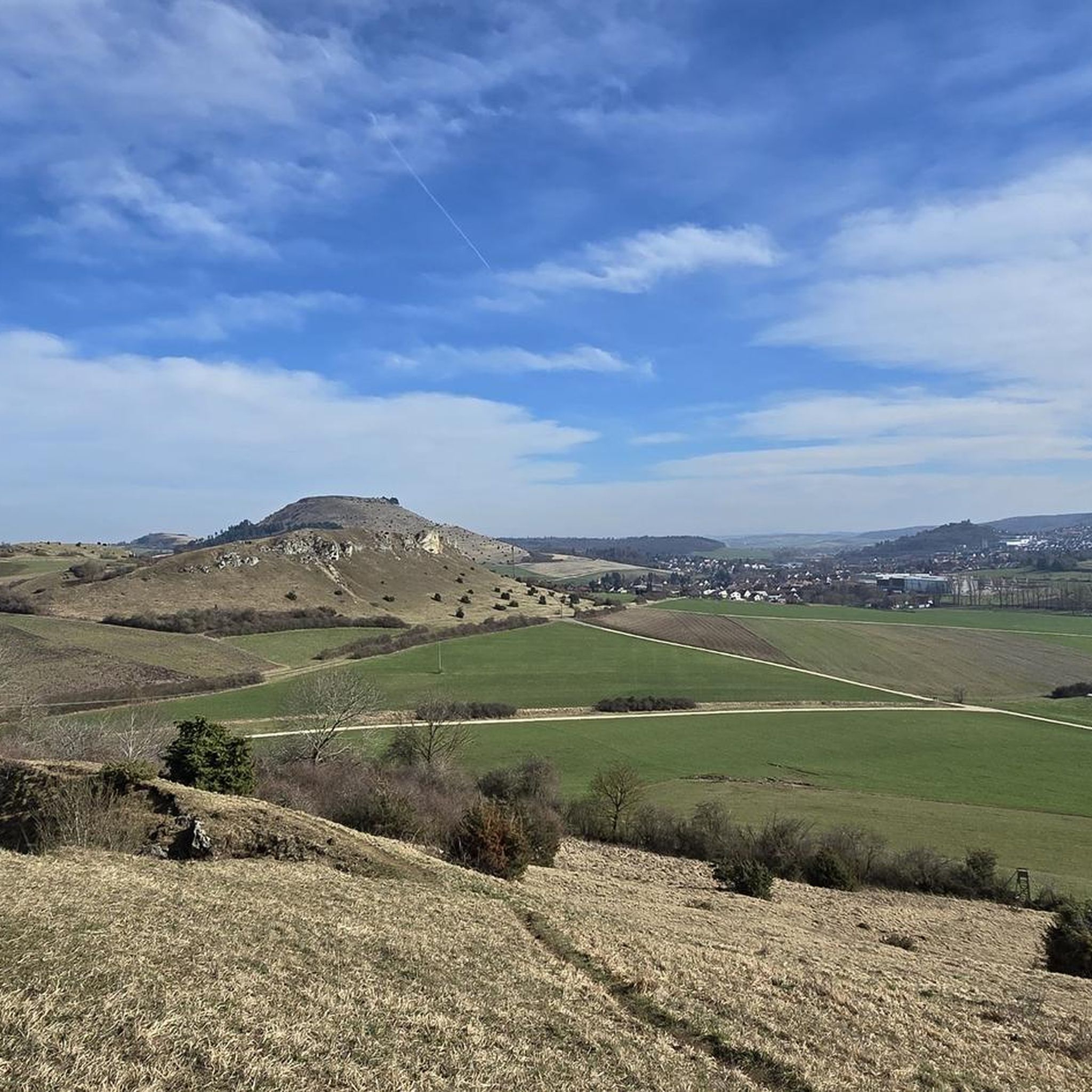
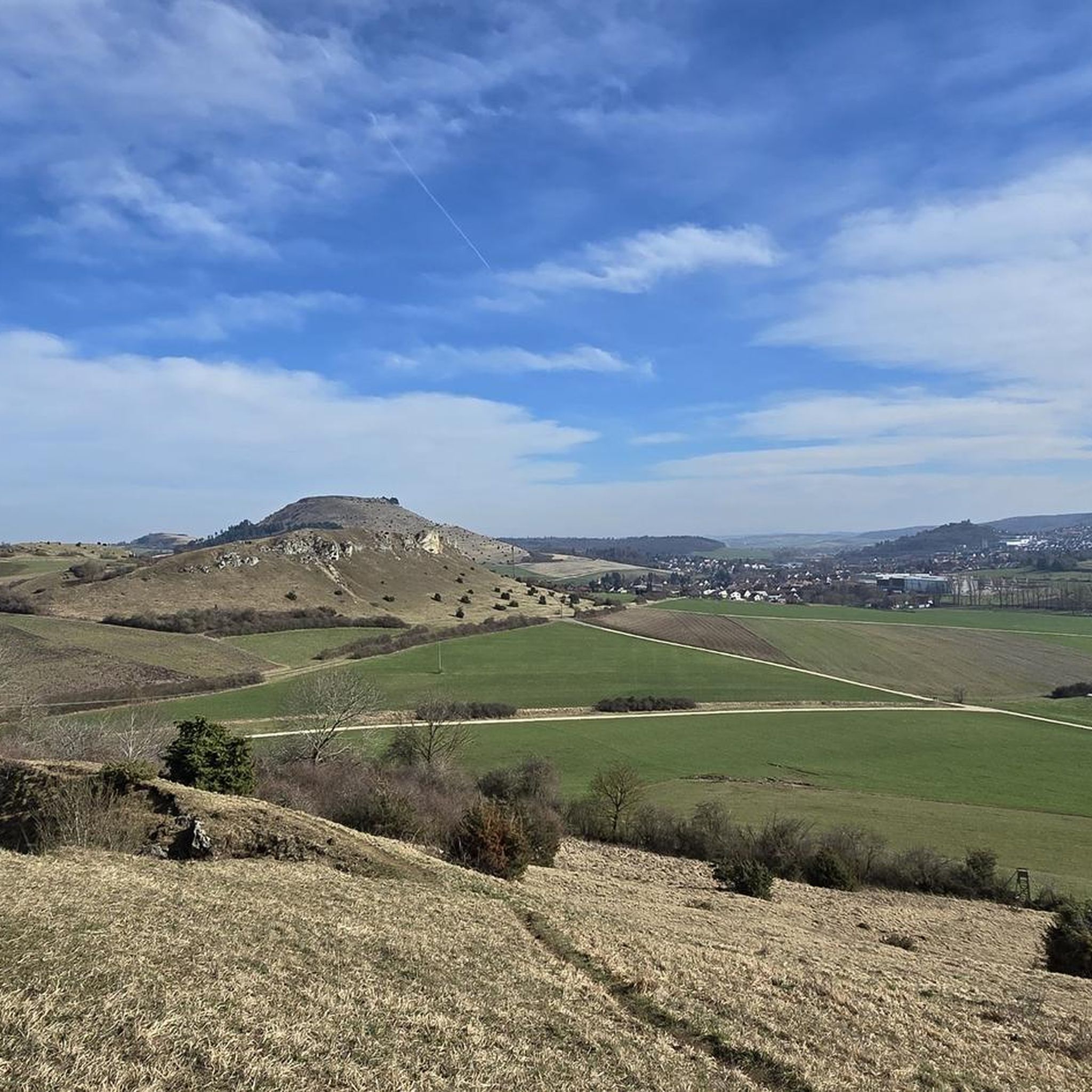
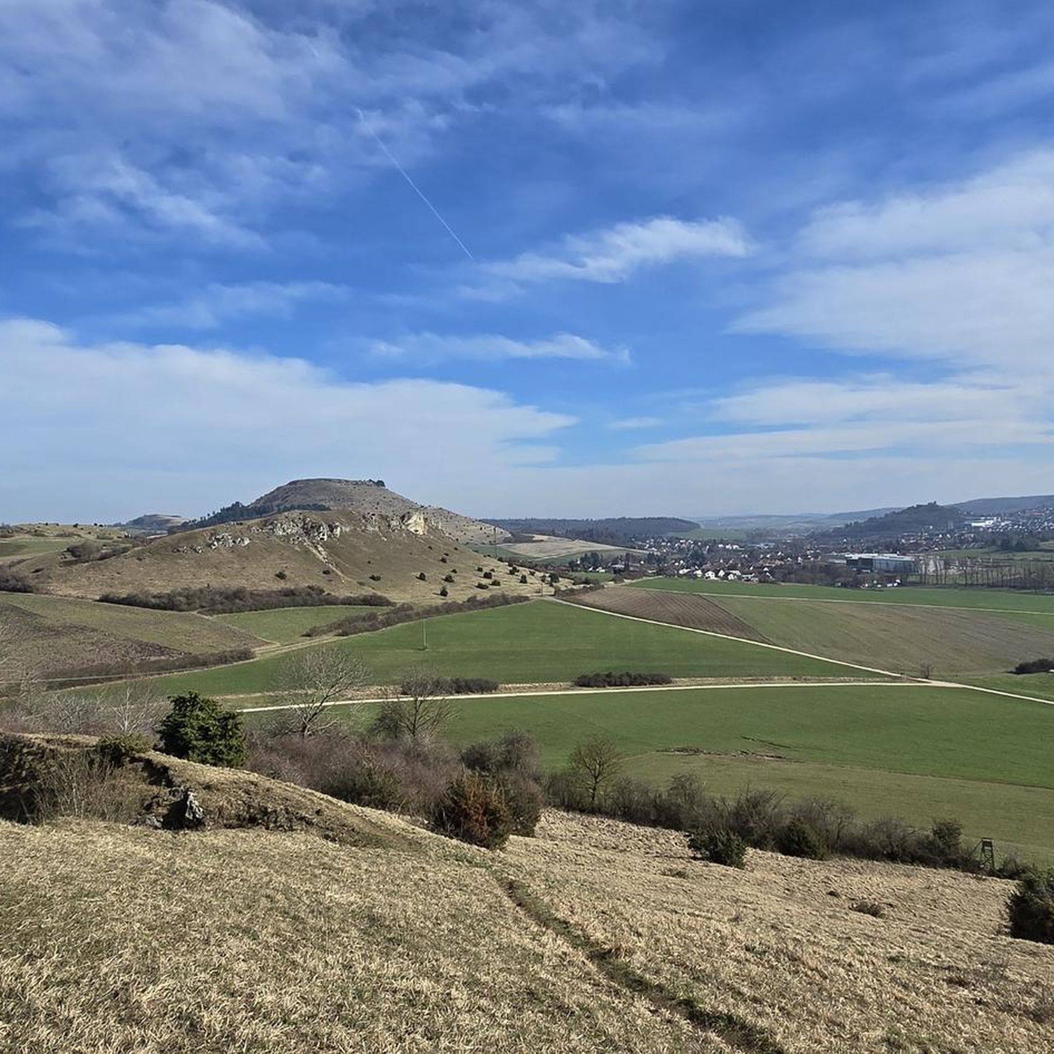
Jogging routes in Tonnenberg, Käsbühl, Karkstein are situated in the Ostalbkreis of Baden-Württemberg, Germany. This region features diverse landscapes, including the notable Karkstein with its impressive terrain and views over Bopfingen. Käsbühl is recognized as a Nature Reserve, offering trails along the Eger River. The area provides varied elevation gains and surfaces suitable for outdoor activities.
Best jogging routes in Tonnenberg, Käsbühl, Karkstein
- The most popular jogging route is View of the Ipf – Schenkenstein Ruins loop from Aufhausen (Württemberg)…
Last updated: September 29, 2026
10
runners
6.61km
00:45
180m
180m
Moderate run. Good fitness required. Mostly paved surfaces. Suitable for all skill levels.
17
runners
Moderate run. Good fitness required. Mostly paved surfaces. Suitable for all skill levels.

3.0
(1)
17
runners
4.01km
00:25
30m
30m
Easy run. Great for any fitness level. Mostly paved surfaces. Suitable for all skill levels.
8
runners
5.98km
00:37
40m
40m
Moderate run. Good fitness required. Mostly paved surfaces. Suitable for all skill levels.
5.0
(2)
4
runners
10.9km
01:09
150m
150m
Moderate run. Good fitness required. Mostly paved surfaces. Suitable for all skill levels.
Get access to more routes and recommendations from other explorers.
Already have an account?
Our route recommendations are based on thousands of hikes, rides, and runs completed by other people on komoot.
Start today with a free account
Your next adventure awaits.

Tips from the Community

The reconstruction of the Celtic settlement will be pushed forward in the coming years and will become larger.
0
0
Beautifully crafted replicas of a Celtic settlement at the foot of the Ipf mountain.
0
0

The actual source of the Eger river is located outside Aufhausen at the foot of the Swabian Alps.
1
0

Lots of information about the Celts at this location.
0
0
The reconstruction of the Fürstenhof is still under construction.
0
0

great replicas with lots of information
0
0

Little Venice of Oberdorf....😂👌
2
0

Replica of a Celtic wall, very impressive. A typical Celtic village is currently being built next door and should be completed by the end of 2024.
1
0
Frequently Asked Questions
How many running routes are available in Tonnenberg, Käsbühl, and Karkstein?
There are over 200 running routes documented in the Tonnenberg, Käsbühl, and Karkstein region, offering a wide variety of options for all skill levels. You'll find everything from easy paths to more challenging trails with significant elevation changes.
Are there any easy running routes suitable for beginners or a relaxed jog?
Yes, the region offers 29 easy running routes perfect for beginners or those looking for a relaxed pace. One popular option is the Running loop from Ipf, which is 2.5 miles (4.0 km) long and typically takes about 25 minutes to complete.
What kind of terrain can I expect on the running trails in this area?
The running trails in Tonnenberg, Käsbühl, and Karkstein feature diverse landscapes. You can expect scenic views, paths along the Eger River, and varied terrain that includes both gentle slopes and more challenging ascents, especially around Karkstein. The region is known for its picturesque natural beauty.
Are there any challenging routes for experienced runners?
Absolutely. For experienced runners seeking a challenge, there are 26 difficult routes available. One notable long-distance option is the Kornlach Stream – Town Wall and Daniel Tower loop from Bopfingen, which spans over 31 kilometers and includes significant elevation changes.
What are some interesting sights or landmarks I can see while running?
The region is rich in natural and historical sights. You can run past impressive natural formations like Karkstein, known for its splendid views over Bopfingen. The Käsbühl Nature Reserve offers beautiful paths along the Eger River. Some routes also pass historical sites, such as those related to the Celtic village and prince's hall near Ipf.
Are there any running routes that follow a river or have water features?
Yes, the Käsbühl Nature Reserve is particularly known for its paths that follow the Eger River. A great option is the Eger River at Baiermühle loop from Bopfingen, which offers a pleasant 5.9 km run along the water.
What do other runners say about the trails in Tonnenberg, Käsbühl, and Karkstein?
The running routes in Tonnenberg, Käsbühl, and Karkstein are highly rated by the komoot community, with an average score of 4.7 stars from over 100 reviews. Runners often praise the scenic views, the varied terrain, and the well-maintained paths that cater to different ability levels.
When is the best time of year to go running in this area?
The region is beautiful year-round, but spring is particularly special, especially around Karkstein, when numerous pasque flowers are in bloom, adding vibrant color to the landscape. The interconnected trail systems and diverse scenery make it enjoyable across seasons.
Are there any routes that offer panoramic views?
Yes, Karkstein is particularly noted for its impressive terrain and offers splendid views, including a vista over Bopfingen. Many routes in the area incorporate elevated sections that provide excellent panoramic outlooks over the surrounding picturesque landscapes.
Can I find routes that explore historical sites?
Certainly. The region has routes that delve into its rich history. For example, the Celtic Village at the Ipf – Celtic Prince's Hall on the Ipf loop from Bopfingen is a moderate 4.7 km path that explores historical sites related to the Celtic village and prince's hall.
What is the longest running route available?
The longest route listed is the Kornlach Stream – Town Wall and Daniel Tower loop from Bopfingen, which is a challenging 31.5 km (19.6 miles) trail. It typically takes around 3 hours and 20 minutes to complete, offering a substantial workout and extensive exploration of the area.
Most popular routes in Tonnenberg, Käsbühl, Karkstein
Most popular attractions in Tonnenberg, Käsbühl, Karkstein

Get inspired with the komoot mobile app


Explore more
Browse the best Running Trails & Routes in other regions.
