The best walks and hikes in Tonnenberg, Käsbühl, Karkstein
4.6
(1604)
6,638
hikers
634
hikes
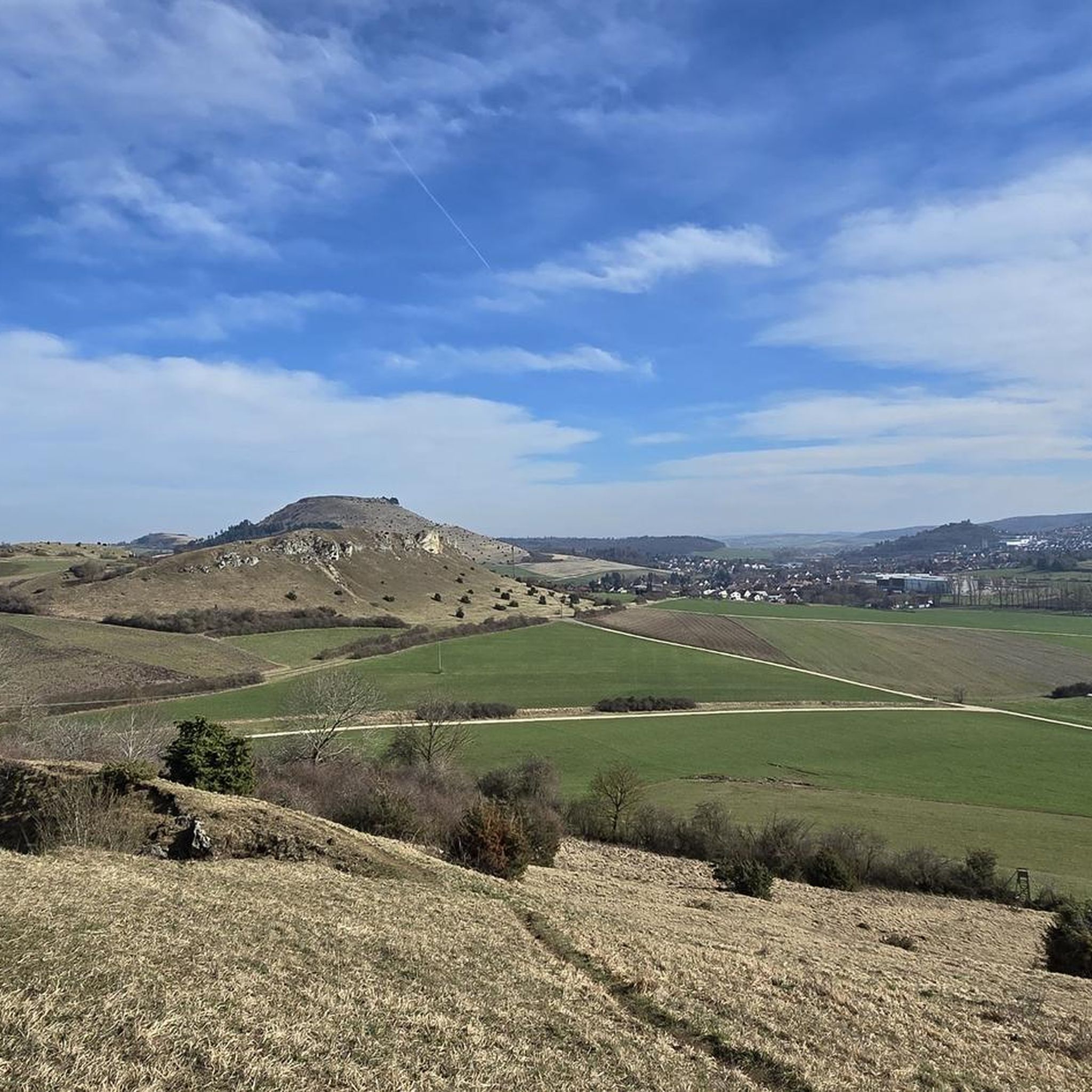
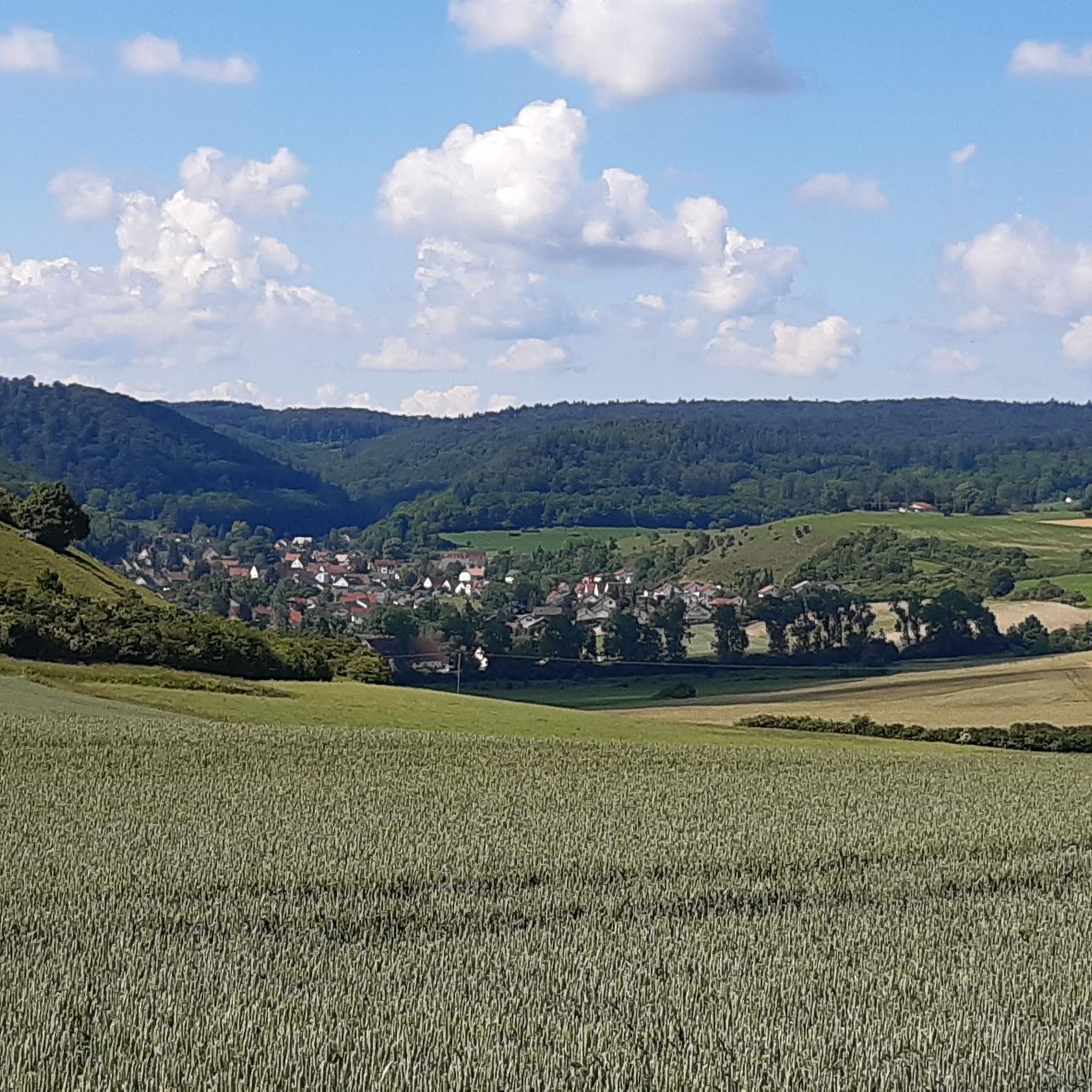
Hiking trails in Tonnenberg, Käsbühl, Karkstein offer varied landscapes and impressive terrain in the Bopfingen area of Baden-Württemberg, Germany. The region features panoramic vistas from locations like Karkstein and the Käsbühl Nature Reserve, providing views of the Ipf and surrounding towns. Trails often follow the Eger River, adding riparian scenery to the experience. The area is characterized by diverse natural features, including open views and sections of nature reserve.
Best hiking trails in Tonnenberg, Käsbühl, Karkstein
- The most popular hiking…
Last updated: June 26, 2026
4.7
(71)
187
hikers
Moderate hike. Good fitness required. Mostly accessible paths. Sure-footedness required.
4.8
(55)
161
hikers
6.80km
01:56
130m
130m
Moderate hike. Great for any fitness level. Mostly accessible paths. Sure-footedness required.

Sign up for free
5.0
(6)
23
hikers
Moderate hike. Good fitness required. Easily-accessible paths. Suitable for all skill levels.
4.7
(6)
13
hikers
Moderate hike. Good fitness required. Easily-accessible paths. Suitable for all skill levels.
4.3
(4)
13
hikers
Easy hike. Great for any fitness level. Easily-accessible paths. Suitable for all skill levels.
Get access to more routes and recommendations from other explorers.
Sign up for free
Already have an account?
Our route recommendations are based on thousands of hikes, rides, and runs completed by other people on komoot.
Start today with a free account
Your next adventure awaits.
Login or Signup

Tips from the Community

Currently (26.05.2026), the rest area is surrounded by a wildflower meadow.
0
0

This way up to the Ipf
0
0

The reconstruction of the Celtic settlement will be pushed forward in the coming years and will become larger.
0
0
Beautifully crafted replicas of a Celtic settlement at the foot of the Ipf mountain.
0
0

Beautifully situated on the banks of the Eger River
0
0
The actual source of the Eger river is located outside Aufhausen at the foot of the Swabian Alps.
1
0
The small circular trail on the plateau offers great views.
1
0
A lovely little circular trail on the plateau with great views.
1
0
Frequently Asked Questions
How many hiking trails are available in Tonnenberg, Käsbühl, Karkstein?
There are over 660 hiking trails in the Tonnenberg, Käsbühl, Karkstein region. These range from easy walks to more challenging routes, offering diverse experiences for all fitness levels.
What kind of views can I expect on the trails in this region?
Hikers can expect impressive panoramic views from various points. From Karkstein, you'll get great views of Bopfingen. The Käsbühl Nature Reserve offers an expansive outlook, where you can see the Ipf, Karkstein, Bopfingen, Röttingen, and even the panorama stretching towards Schloss Baldern and Lauchheim.
Are there easy hiking trails suitable for beginners or casual walkers?
Yes, the region offers over 400 easy routes. An excellent option for a relaxed walk is the Path Along the Eger River – Eger River at Baiermühle loop from Tonnenberg, Käsbühl, Karkstein, which is an easy 5.5 km trail.
Are there any circular hiking routes in Tonnenberg, Käsbühl, Karkstein?
Many trails in the region are circular. For example, the Käsbühl Nature Reserve – Path Along the Eger River loop from Aufhausen (Württemberg) is a popular 8.1 km circular route that winds through the nature reserve.
What natural features or attractions can I see along the hiking trails?
The trails offer varied landscapes, including riparian scenery along the Eger River, especially within the Käsbühl Nature Reserve. You can also explore the Karkstein and the broader Tonnenberg, Käsbühl, and Karkstein Nature Reserve. In spring, the Karkstein area is known for its blooming pasque flowers.
What do other hikers enjoy most about the trails in Tonnenberg, Käsbühl, Karkstein?
The area is highly rated by the komoot community, with an average score of 4.6 stars from over 1,400 reviews. Hikers often praise the diverse terrain, impressive panoramic vistas, and the serene paths along the Eger River.
Are there any challenging hikes for experienced hikers?
Yes, while many routes are moderate, there are 18 difficult trails in the region. Some routes can be up to 5 hours long and involve significant elevation gain, appealing to more experienced hikers seeking a challenge.
Is the region suitable for family-friendly hikes?
Yes, the varying terrain includes easily accessible paths suitable for all ages. Many of the easy and moderate trails offer pleasant experiences for families looking to explore nature together.
What is the best time of year to hike in Tonnenberg, Käsbühl, Karkstein?
The region offers beauty year-round, but spring is particularly notable around Karkstein for its blooming pasque flowers. The varied landscapes and panoramic views can be enjoyed in different seasons, with autumn offering vibrant colors and summer providing lush greenery.
Are there any trails that explore the Ipf Ramparts?
Yes, the Ipf Ramparts – View of the Blasienberg from the Ipf loop from Tonnenberg, Käsbühl, Karkstein is a 12.4 km trail that leads through the Ipf Ramparts, offering views of the Blasienberg.
What kind of geological features are present in the broader region?
While not explicitly detailed for these specific locations, the broader region of Germany, particularly areas like the South Harz Biosphere Reserve, is known for its karst landscapes. These formations are characterized by features like sinkholes and unique geological structures formed by dissolving bedrock, offering diverse flora and fauna. For more information on karst landscapes, you can visit nps.gov.
Most popular routes in Tonnenberg, Käsbühl, Karkstein
Most popular attractions in Tonnenberg, Käsbühl, Karkstein

Get inspired with the komoot mobile app


Explore more
Browse the best Hikes in other regions.
