Rheinniederung Zwischen Au Am Rhein, Durmersheim Und Rheinstetten
Rheinniederung Zwischen Au Am Rhein, Durmersheim Und Rheinstetten
The best cycling routes in Rheinniederung Zwischen Au Am Rhein, Durmersheim Und Rheinstetten
4.5
(6359)
41,542
riders
12
rides
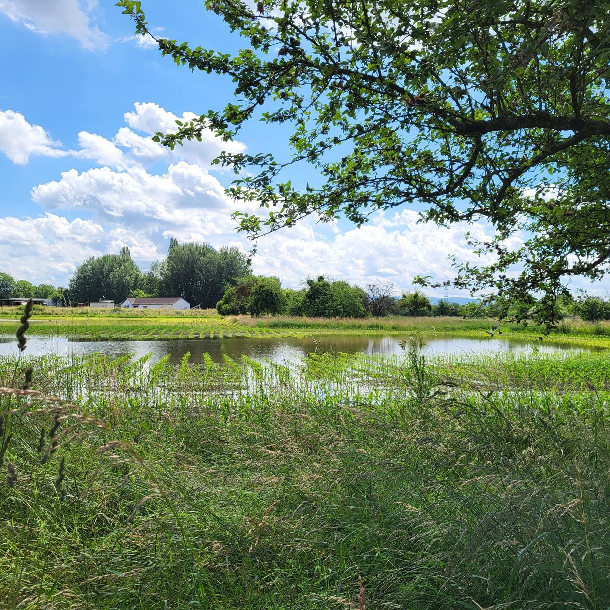
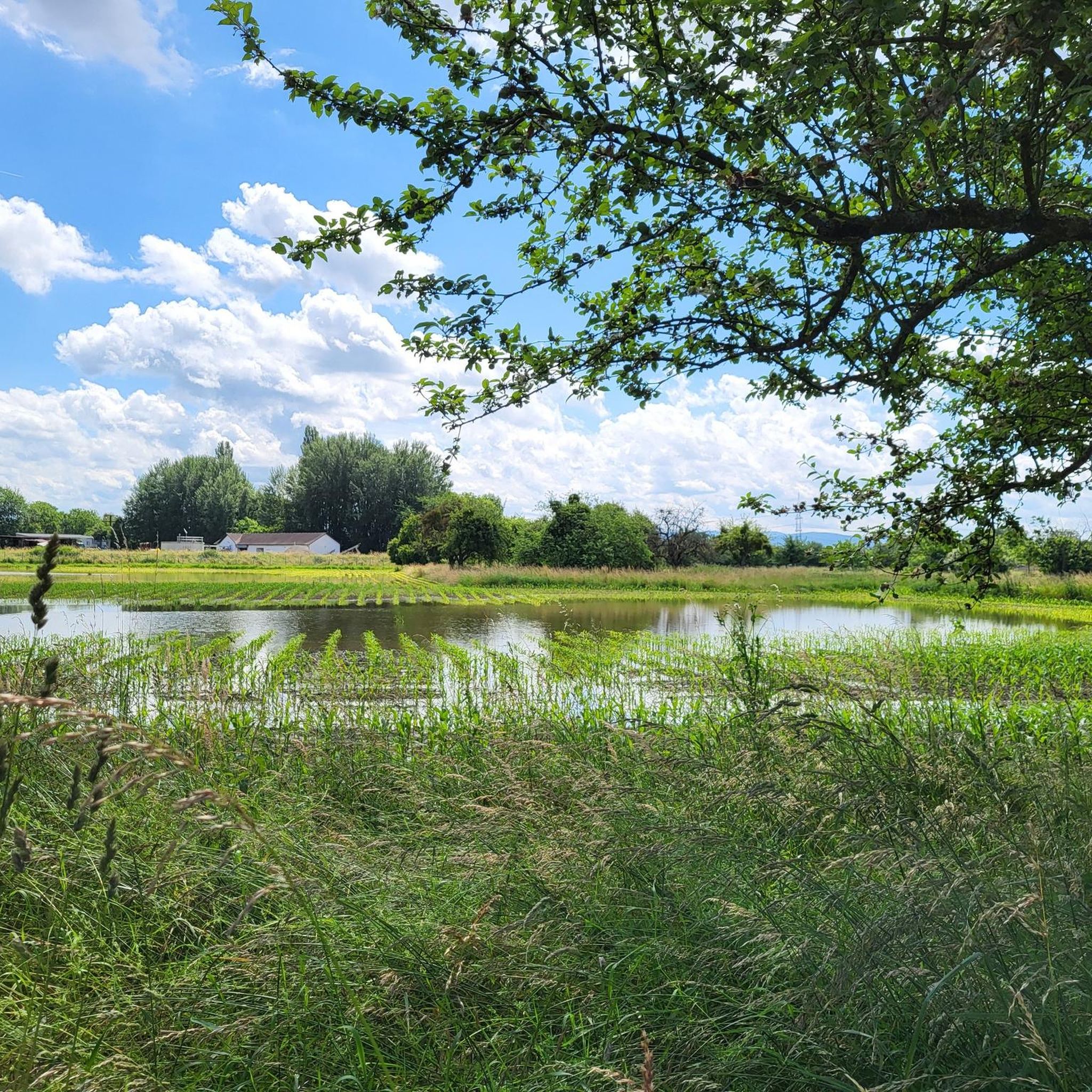
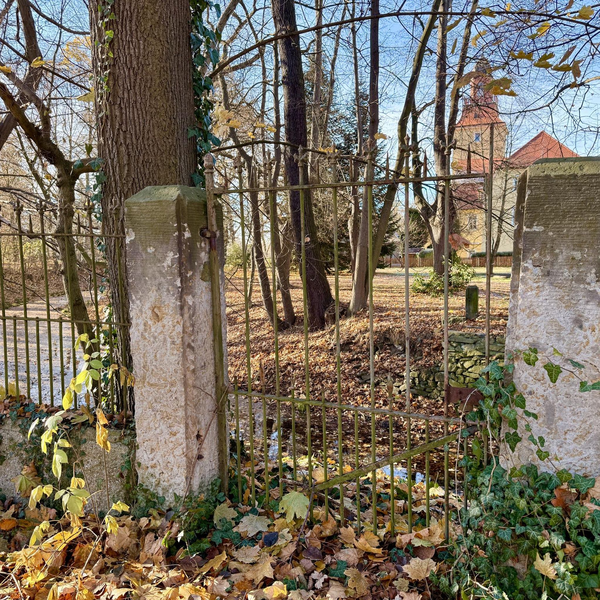
Touring cycling in Rheinniederung Zwischen Au Am Rhein, Durmersheim Und Rheinstetten is characterized by its largely flat topography within the Rhine lowlands and Rhine plain. The region features a brook meadow landscape shaped by the Federbach stream, alongside extensive reed beds, willow bushes, and alder stands. Vast meadows are also present, contributing to the expansive green vistas. The area's unique ecosystem is influenced by groundwater levels connected to the Rhine.
Best touring cycling routes in Rheinniederung Zwischen Au Am Rhein,…
Last updated: July 4, 2026
4.4
(5)
63
riders
Easy bike ride. Great for any fitness level. Mostly paved surfaces. Suitable for all skill levels.
3.0
(1)
34
riders
Easy bike ride. Great for any fitness level. Mostly paved surfaces. Suitable for all skill levels.

Sign up for free
3.5
(2)
23
riders
Easy bike ride. Great for any fitness level. Mostly paved surfaces. Suitable for all skill levels.
5.0
(1)
27
riders
Easy bike ride. Great for any fitness level. Mostly paved surfaces. Suitable for all skill levels.
5.0
(2)
22
riders
Easy bike ride. Great for any fitness level. Mostly paved surfaces. Suitable for all skill levels.
Get access to more routes and recommendations from other explorers.
Sign up for free
Already have an account?
Our route recommendations are based on thousands of hikes, rides, and runs completed by other people on komoot.
Start today with a free account
Your next adventure awaits.
Login or Signup
Popular around Rheinniederung Zwischen Au Am Rhein, Durmersheim Und Rheinstetten
Hiking in Rheinniederung Zwischen Au Am Rhein, Durmersheim Und Rheinstetten
Running Trails in Rheinniederung Zwischen Au Am Rhein, Durmersheim Und Rheinstetten
Road Cycling Routes in Rheinniederung Zwischen Au Am Rhein, Durmersheim Und Rheinstetten
MTB Trails in Rheinniederung Zwischen Au Am Rhein, Durmersheim Und Rheinstetten
Gravel biking in Rheinniederung Zwischen Au Am Rhein, Durmersheim Und Rheinstetten
Tips from the Community

View of the Rhine? And this, on the Rhine? Scandal!
4
0

The Rhine is one of the most important rivers in Europe and has a length of approximately 1,233 km. Its source lies in the Swiss Alps, where it originates from several mountain streams. From there, it first flows through Switzerland and then partly forms the border between Germany and France, before continuing through Germany and finally the Netherlands. Near Rotterdam, the Rhine divides into several distributaries and finally reaches the North Sea. Its catchment area is very large (approx. 185,000 km²) and includes many tributaries such as the Moselle, Main, or Neckar. The Rhine is of great importance to Europe: Shipping: One of the most important waterways in the world for trade and transport Economy: Connection of many industrial and port cities Nature: Habitat for numerous animal and plant species Energy: Utilization through hydropower in the Alpine regions Due to its location and use, the Rhine is considered one of the most important lifelines of Central Europe.
0
0
The Rhine is one of the most important rivers in Europe and has a length of approximately 1,233 km. Its source lies in the Swiss Alps, where it originates from several mountain streams. From there, it first flows through Switzerland and then partly forms the border between Germany and France, before continuing through Germany and finally the Netherlands. Near Rotterdam, the Rhine divides into several distributaries and finally reaches the North Sea. Its catchment area is very large (approx. 185,000 km²) and includes many tributaries such as the Moselle, Main, or Neckar. The Rhine has great importance for Europe: Shipping: One of the most important waterways in the world for trade and transport Economy: Connection of many industrial and port cities Nature: Habitat for numerous animal and plant species Energy: Utilization through hydropower in the Alpine regions Due to its location and use, the Rhine is one of the most important lifelines of Central Europe.
0
0

Magnificent view of the Rhine.
0
0
Beautiful path along the Rhine.
0
0

Here we go along the dam for a change - so you have a much better view
2
1

The Federbach stream is over 40 km long. Its source is near Malsch and flows into the Old Rhine near Daxlanden. From there, it resurfaces at Lake Knielinger See and finally flows into the Alb near Maxau.
1
0

Frequently Asked Questions
How many touring cycling routes are available in Rheinniederung Zwischen Au Am Rhein, Durmersheim Und Rheinstetten?
There are 11 touring cycling routes in the Rheinniederung Zwischen Au Am Rhein, Durmersheim Und Rheinstetten area. The majority of these, 10 routes, are classified as easy, making the region very accessible for various skill levels.
What is the typical terrain like for touring cyclists in this region?
The Rheinniederung is characterized by its largely flat topography, being part of the Rhine lowlands and Rhine plain. This makes it ideal for leisurely touring cycling, suitable for all fitness levels. You'll encounter brook meadow landscapes, extensive reed beds, and vast meadows, with minimal elevation changes.
What natural features can I expect to see along the touring cycling routes?
You can expect to see diverse natural features, including the Rheinniederung Between Au am Rhein, Durmersheim and Rheinstetten Nature Reserve itself, which is home to the Federbach stream, extensive reed beds, large sedge stands, and willow bushes. The landscape transitions between wet, moist, and dry areas, supporting a rich variety of plant life and expansive green meadows.
Are there any specific viewpoints or interesting spots along the routes?
Yes, there are several spots to enjoy the scenery. You can find Benches With a View of the Rheinniederung Conservation Area, offering tranquil spots to rest and take in the landscape. Additionally, an observation deck at Fermasee is part of an easy cycling loop, providing another great vantage point.
Are there any unique experiences or attractions accessible by bike?
Absolutely. A unique experience is crossing the Rhine via the Seltz–Plittersdorf Cable Ferry, located near Au am Rhein. This ferry is free and accommodates bicycles, allowing you to explore additional routes and landscapes on the other side of the river.
What is the best time of year to go touring cycling in the Rheinniederung?
While the region is beautiful year-round, spring and autumn offer particularly pleasant conditions for touring cycling. The mild temperatures and vibrant natural colors enhance the experience, and you avoid the peak heat of summer. The flat terrain makes it enjoyable even in cooler weather.
Are the touring cycling routes suitable for families or beginners?
Yes, the Rheinniederung is very family-friendly and suitable for beginners. With 10 out of 11 routes classified as easy, the largely flat terrain and dedicated cycling paths like the Mörsch–Neuburgweier cycle path provide a safe and enjoyable experience for all ages and skill levels.
Are there any circular touring cycling routes in the area?
Many of the routes in the Rheinniederung are designed as loops, offering convenient circular tours. For example, the Cycle path near Au am Rhein – Au am Rhein Village Entrance loop from DHL Paketshop and the Rhine Cycle Path on the South Bank – Rhine Cycle Path loop from DHL Paketshop are popular circular options.
What do other touring cyclists enjoy most about the Rheinniederung?
The area is highly rated by the komoot community, with an average score of 4.5 stars from over 5,000 reviews. Reviewers often praise the quiet, peaceful experience away from busy roads, the well-maintained paths, and the beautiful, expansive natural landscapes of the Rhine lowlands and Federbach stream.
Where can I park my car to access the cycling routes?
Parking is generally available at various access points to the cycling routes in and around Au am Rhein, Durmersheim, and Rheinstetten. Look for designated parking areas near village entrances or along main roads that lead to the nature reserve. Specific starting points for routes, like those near DHL Paketshop, often have nearby parking facilities.
Can I reach the cycling routes by public transport?
Yes, the towns of Au am Rhein, Durmersheim, and Rheinstetten are connected by public transport, making it possible to reach the cycling routes without a car. Local bus services often provide access to areas close to the nature reserve and its cycling paths.
Are the cycling paths generally paved?
The cycling paths in the Rheinniederung are generally well-maintained. While many sections are paved, you might also encounter smooth gravel paths, especially on routes that delve deeper into the natural areas like the Forest Path at the Edge of the Gestadebruch. The surfaces are typically suitable for touring bicycles.
Most popular routes in Rheinniederung Zwischen Au Am Rhein, Durmersheim Und Rheinstetten
Most popular attractions in Rheinniederung Zwischen Au Am Rhein, Durmersheim Und Rheinstetten

Get inspired with the komoot mobile app


Explore more
Browse the best Cycling routes in other regions.
