Rheinniederung Zwischen Au Am Rhein, Durmersheim Und Rheinstetten
Rheinniederung Zwischen Au Am Rhein, Durmersheim Und Rheinstetten
The best MTB trails in Rheinniederung Zwischen Au Am Rhein, Durmersheim Und Rheinstetten
4.6
(1384)
5,165
riders
442
rides
Mountain biking in Rheinniederung Zwischen Au Am Rhein, Durmersheim Und Rheinstetten offers a diverse network of trails primarily characterized by its riverine landscapes and extensive forest paths. The region, situated in the Rhine lowlands, features generally flat to gently rolling terrain, making it suitable for various skill levels. Riders can expect routes that traverse alongside lakes, through meadows, and within dense woodlands. The area provides numerous opportunities for both leisurely rides and more challenging excursions.
Best mountain bike trails in…
Last updated: July 4, 2026
4.7
(7)
24
riders
Easy mountain bike ride. Great for any fitness level. Suitable for all skill levels.
4.9
(7)
21
riders
Easy mountain bike ride. Great for any fitness level. Suitable for all skill levels.

Sign up for free
8
riders
Easy mountain bike ride. Great for any fitness level. Suitable for all skill levels.
3.0
(1)
8
riders
21.8km
01:06
40m
40m
Easy mountain bike ride. Great for any fitness level. Suitable for all skill levels.
4.0
(5)
42
riders
44.7km
03:10
500m
500m
Hard mountain bike ride. Good fitness required. Advanced riding skills necessary. Some portions of the route may require you to push your bike.
Get access to more routes and recommendations from other explorers.
Sign up for free
Already have an account?
Our route recommendations are based on thousands of hikes, rides, and runs completed by other people on komoot.
Start today with a free account
Your next adventure awaits.
Login or Signup
Popular around Rheinniederung Zwischen Au Am Rhein, Durmersheim Und Rheinstetten
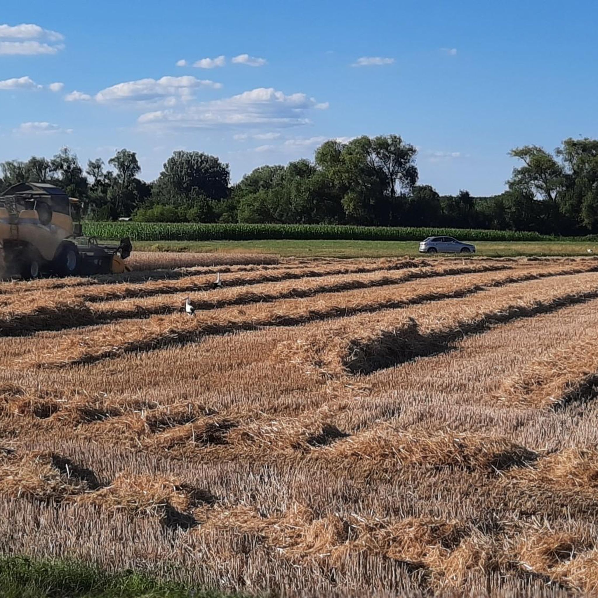
Hiking in Rheinniederung Zwischen Au Am Rhein, Durmersheim Und Rheinstetten
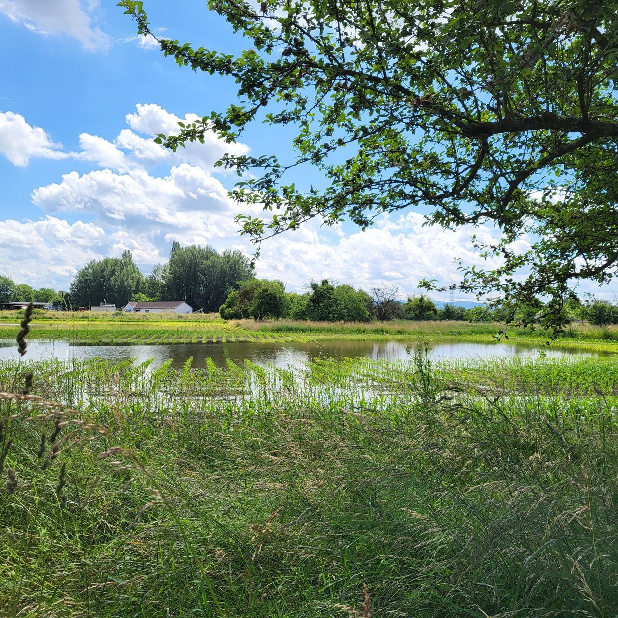
Running Trails in Rheinniederung Zwischen Au Am Rhein, Durmersheim Und Rheinstetten
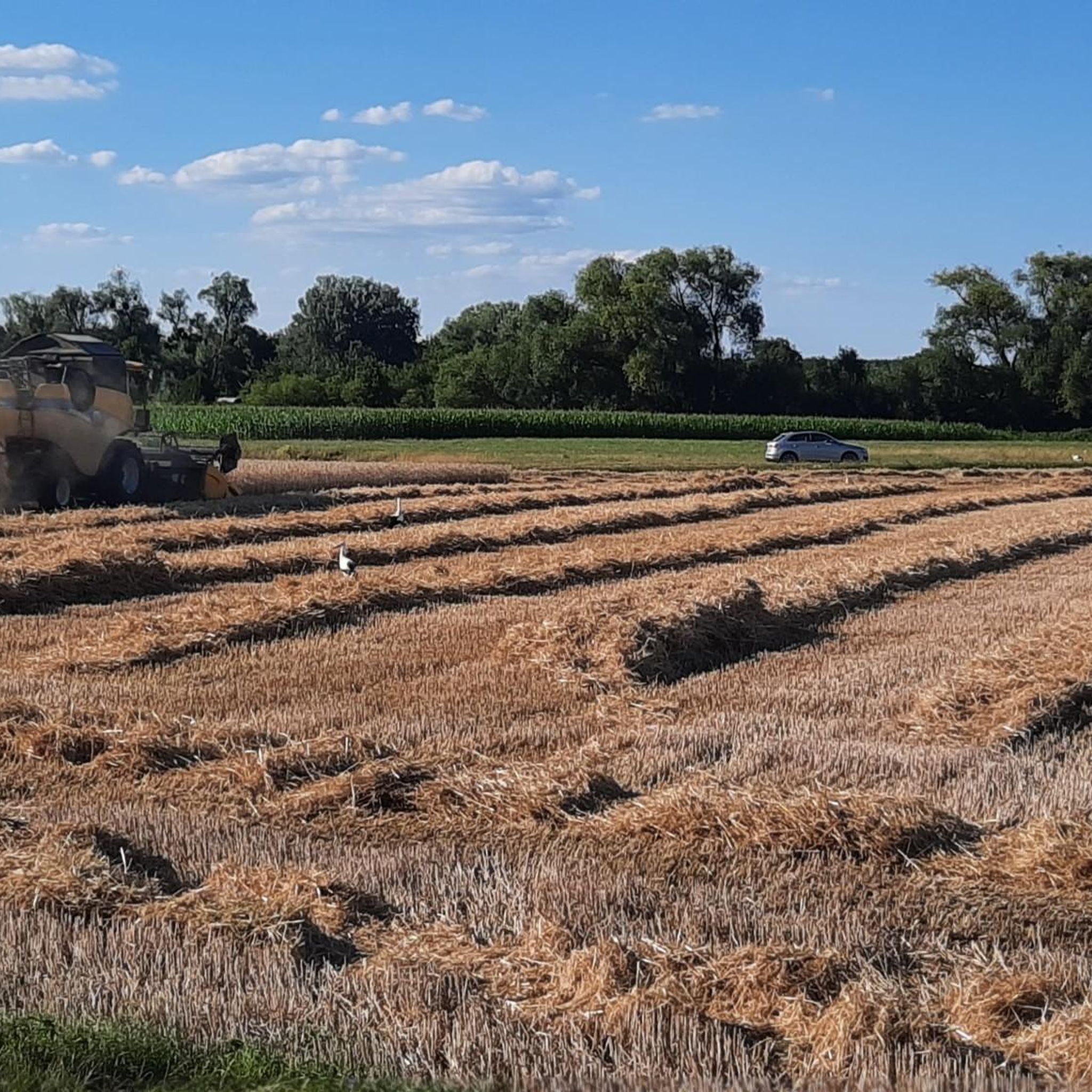
Road Cycling Routes in Rheinniederung Zwischen Au Am Rhein, Durmersheim Und Rheinstetten
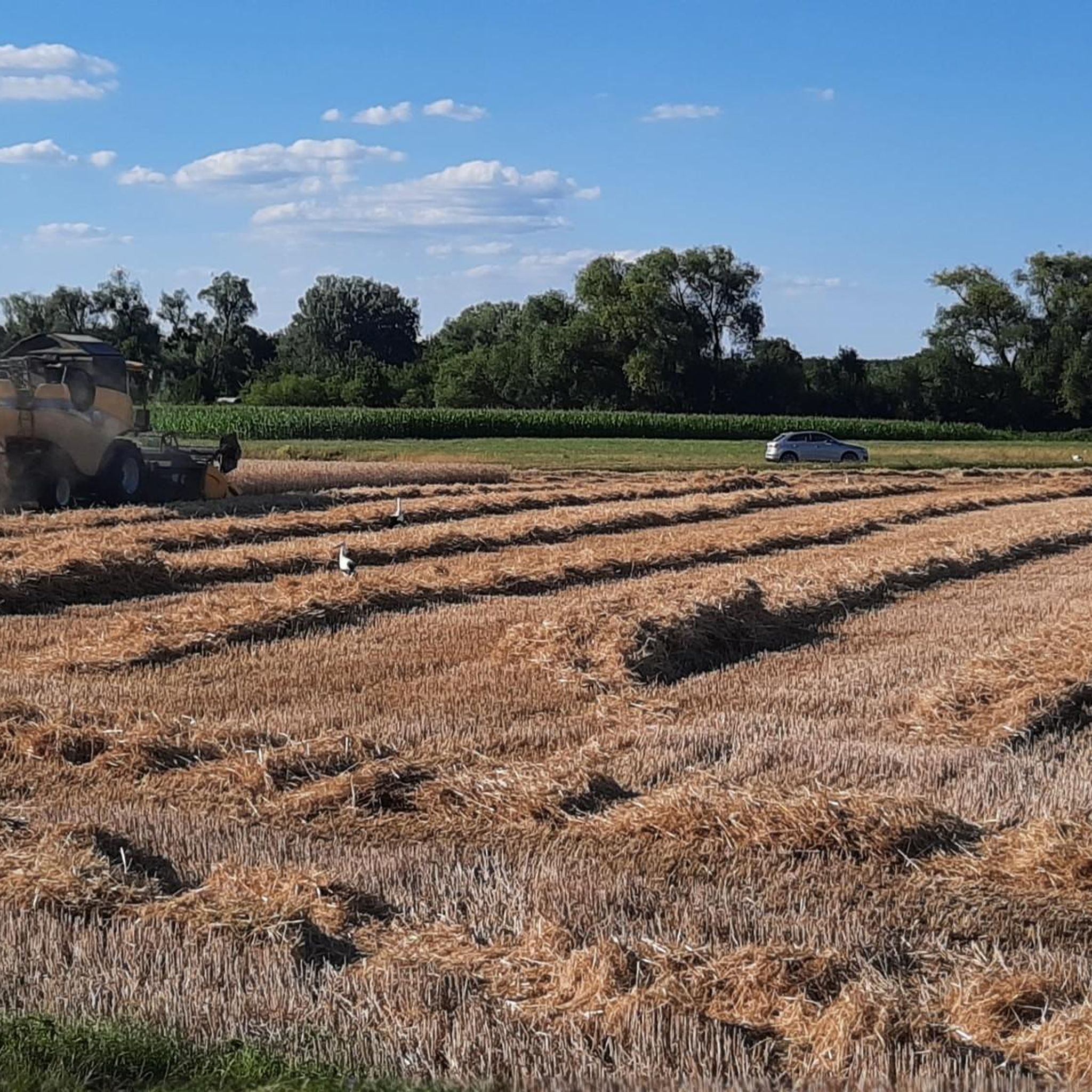
Cycling in Rheinniederung Zwischen Au Am Rhein, Durmersheim Und Rheinstetten
Gravel biking in Rheinniederung Zwischen Au Am Rhein, Durmersheim Und Rheinstetten
Tips from the Community

This was once a beautiful trail, currently it is pretty destroyed by the heavy forest machines. A shame 😭😭
0
0

The pilgrimage church "Our Lady" in Bickesheim was built between 1250 and 1260 by Margrave Rudolf I on the site of an older building. It was continuously expanded. The church is very beautifully furnished and also has some old frescoes to show. Since 1965, the church has also been the parish church for the local community.
0
0

Yesterday, in the middle of the wild garlic bloom, I was looking forward to the trail again. But unfortunately, it largely fell victim to forestry work. Hope it recovers by next year.
0
0

You can see towards Karlsruhe through a gap in the trees. Since the viewpoint is not very high, the view is rather unspectacular. There is also a relaxing lounger here.
6
0

Great view of the bends
1
1
A very nice walking path
0
0

Bickesheim gained great importance through the pilgrimage church, whose historical origin lies in the darkness of history. The Ebersteins, who were very wealthy landowners on the Hardt, allied themselves with the Margraves of Baden in the 13th century through the marriage of Margrave Rudolf I and Kunigunde von Eberstein. In place of an even older Romanesque building, Rudolf I and Kunigunde had a new Gothic church built from 1250 onwards. From that era, above all, come the much-venerated miraculous image "Mary with Child" and with the Eberstein rose, as well as the round pillars in the church.
1
0

The Old Rhine looks different every day.
0
0
Frequently Asked Questions
How many mountain bike trails are available in Rheinniederung Zwischen Au Am Rhein, Durmersheim Und Rheinstetten?
There are over 430 mountain bike trails in the Rheinniederung Zwischen Au Am Rhein, Durmersheim Und Rheinstetten region, offering a wide variety of options for all skill levels.
Are there easy mountain bike trails suitable for beginners or families?
Yes, the region offers a good selection of easy trails, with 147 routes specifically rated as easy. These trails are generally flat to gently rolling, making them ideal for beginners and families. A great option is the Fermasee Viewing Platform – View of Epplesee loop from DHL Paketshop, which is 21.0 miles (33.7 km) long and offers scenic views.
Where can I find more challenging mountain bike trails in the area?
For more advanced riders, there are 37 difficult mountain bike trails available. One challenging option is the From Dachs Till Dawn Trail – Pfahlwald Trail loop from Durmersheim Nord, which covers 44.7 miles (72 km) and features significant elevation changes.
What kind of scenery can I expect on the mountain bike trails in Rheinniederung Zwischen Au Am Rhein, Durmersheim Und Rheinstetten?
The trails primarily feature riverine landscapes, extensive forest paths, and lakeside routes. You'll ride alongside the Rhine, through dense woodlands, and past lakes like the Epplesee and Fermasee, offering diverse natural beauty.
Are there any circular mountain bike routes available?
Yes, many of the trails in the region are designed as loops. For example, the Seyfart Kiosk on the Rhine – Fermasee Viewing Platform loop from DHL Paketshop is an easy 19.5 miles (31.4 km) circular path that follows the Rhine and circles Fermasee.
What are some scenic viewpoints or attractions along the mountain bike trails?
You can find several interesting spots. Consider visiting the Benches With a View of the Rheinniederung Conservation Area for panoramic vistas, or explore the Rheinniederung Between Au am Rhein, Durmersheim and Rheinstetten Nature Reserve. The Forest Path at the Edge of the Gestadebruch also offers a pleasant ride through natural surroundings.
What do other mountain bikers say about the trails in this region?
The mountain bike trails in Rheinniederung Zwischen Au Am Rhein, Durmersheim Und Rheinstetten are highly rated by the komoot community, with an average score of 4.6 stars from over 1,200 reviews. Riders often praise the varied terrain, from quiet woodlands to scenic lakeside paths, and the well-maintained routes.
What is the best season for mountain biking in Rheinniederung Zwischen Au Am Rhein, Durmersheim Und Rheinstetten?
The region is generally suitable for mountain biking from spring through autumn. The flat to gently rolling terrain means trails are less affected by snow and ice than mountainous areas, making it accessible for a longer season. Spring offers blooming nature, while autumn provides beautiful foliage.
Are there any moderate mountain bike trails for intermediate riders?
Yes, the majority of trails in the region are rated as moderate, with 247 routes falling into this category. These trails offer a good balance of distance and some elevation changes. An example is the Aqueduct Over the Moosalb – Mooswiesen Meadow (Albtal) loop from Durmersheim Nord, a 44.5 miles (71.6 km) route with moderate climbs.
Can I expect to see wildlife while mountain biking in Rheinniederung Zwischen Au Am Rhein, Durmersheim Und Rheinstetten?
Given the region's natural characteristics, including riverine landscapes, dense woodlands, and nature reserves, there are opportunities for wildlife spotting. Keep an eye out for local bird species, small mammals, and other native fauna, especially in quieter sections of the trails or near the nature reserve.
Are the mountain bike trails well-marked?
While specific marking can vary, the komoot community frequently praises the well-maintained nature of the routes. Using the komoot app for navigation ensures you stay on track, even on less frequently used paths.
Most popular routes in Rheinniederung Zwischen Au Am Rhein, Durmersheim Und Rheinstetten
Most popular attractions in Rheinniederung Zwischen Au Am Rhein, Durmersheim Und Rheinstetten

Get inspired with the komoot mobile app


Explore more
Browse the best MTB trails in other regions.
