Rheinniederung Zwischen Au Am Rhein, Durmersheim Und Rheinstetten
Rheinniederung Zwischen Au Am Rhein, Durmersheim Und Rheinstetten
The best walks and hikes in Rheinniederung Zwischen Au Am Rhein, Durmersheim Und Rheinstetten
4.5
(3306)
18,028
hikers
912
hikes
Hiking trails in Rheinniederung Zwischen Au Am Rhein, Durmersheim Und Rheinstetten traverse a designated nature and landscape protection area in Baden-Württemberg, Germany. The terrain is characterized by former Rhine loops, an extensive network of water bodies including the Federbach, and over 40 hectares of contiguous meadows. This region features a diverse range of plant communities adapted to moist conditions, reflecting its historical status as an active Rhine floodplain. The landscape offers mostly flat, easy-to-navigate paths suitable for various fitness levels.
…Last updated: July 8, 2026
4.3
(57)
209
hikers
Moderate hike. Good fitness required. Easily-accessible paths. Suitable for all skill levels.
4.0
(4)
27
hikers
Easy hike. Great for any fitness level. Easily-accessible paths. Suitable for all skill levels.

Sign up for free
5.0
(5)
55
hikers
Easy hike. Great for any fitness level. Easily-accessible paths. Suitable for all skill levels.
3.0
(1)
35
hikers
Easy hike. Great for any fitness level. Easily-accessible paths. Suitable for all skill levels.
27
hikers
Easy hike. Great for any fitness level. Easily-accessible paths. Suitable for all skill levels.
Get access to more routes and recommendations from other explorers.
Sign up for free
Already have an account?
Our route recommendations are based on thousands of hikes, rides, and runs completed by other people on komoot.
Start today with a free account
Your next adventure awaits.
Login or Signup
Popular around Rheinniederung Zwischen Au Am Rhein, Durmersheim Und Rheinstetten
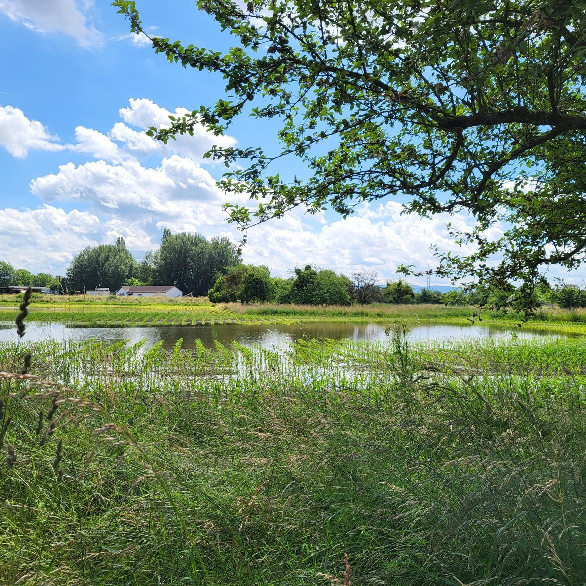
Running Trails in Rheinniederung Zwischen Au Am Rhein, Durmersheim Und Rheinstetten
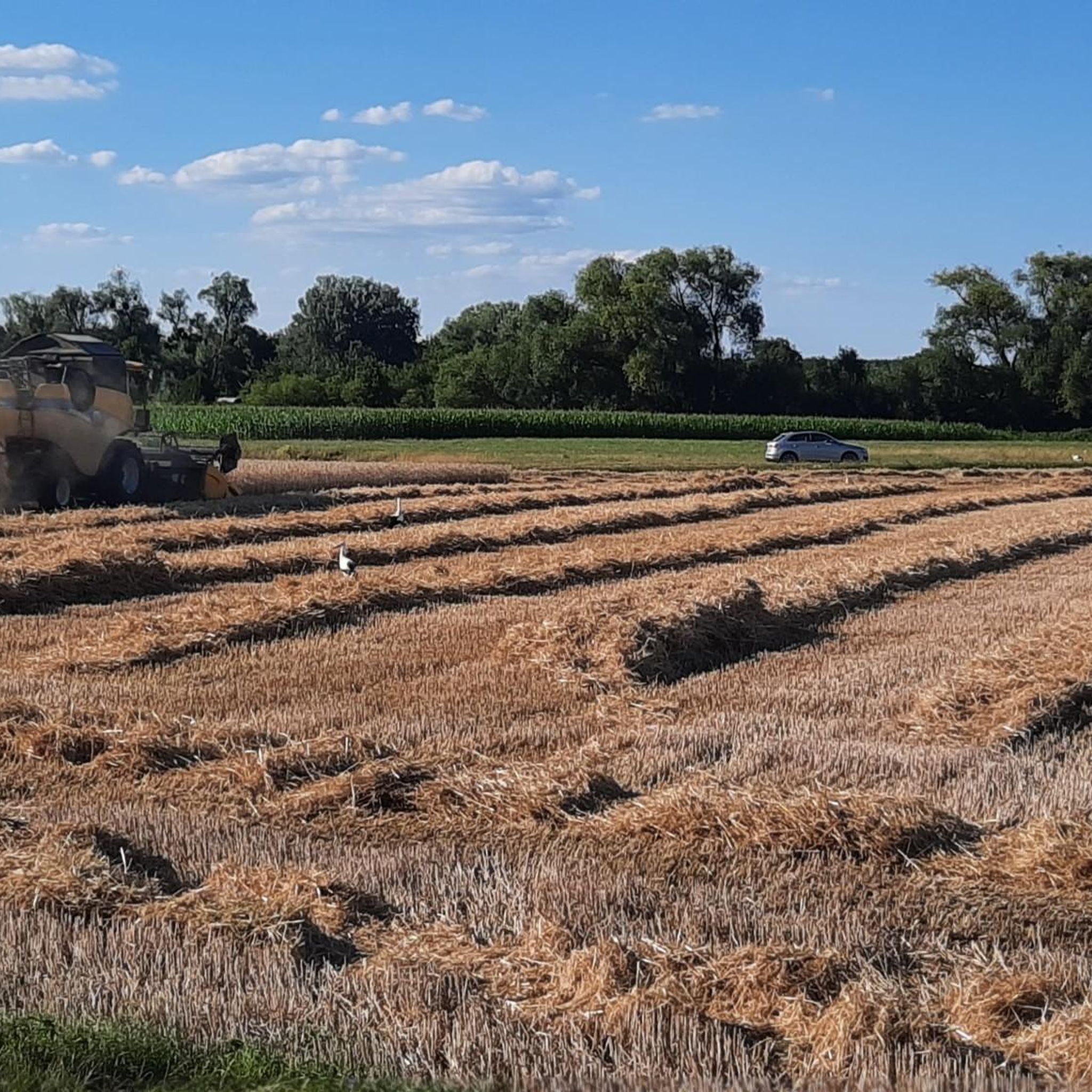
Road Cycling Routes in Rheinniederung Zwischen Au Am Rhein, Durmersheim Und Rheinstetten
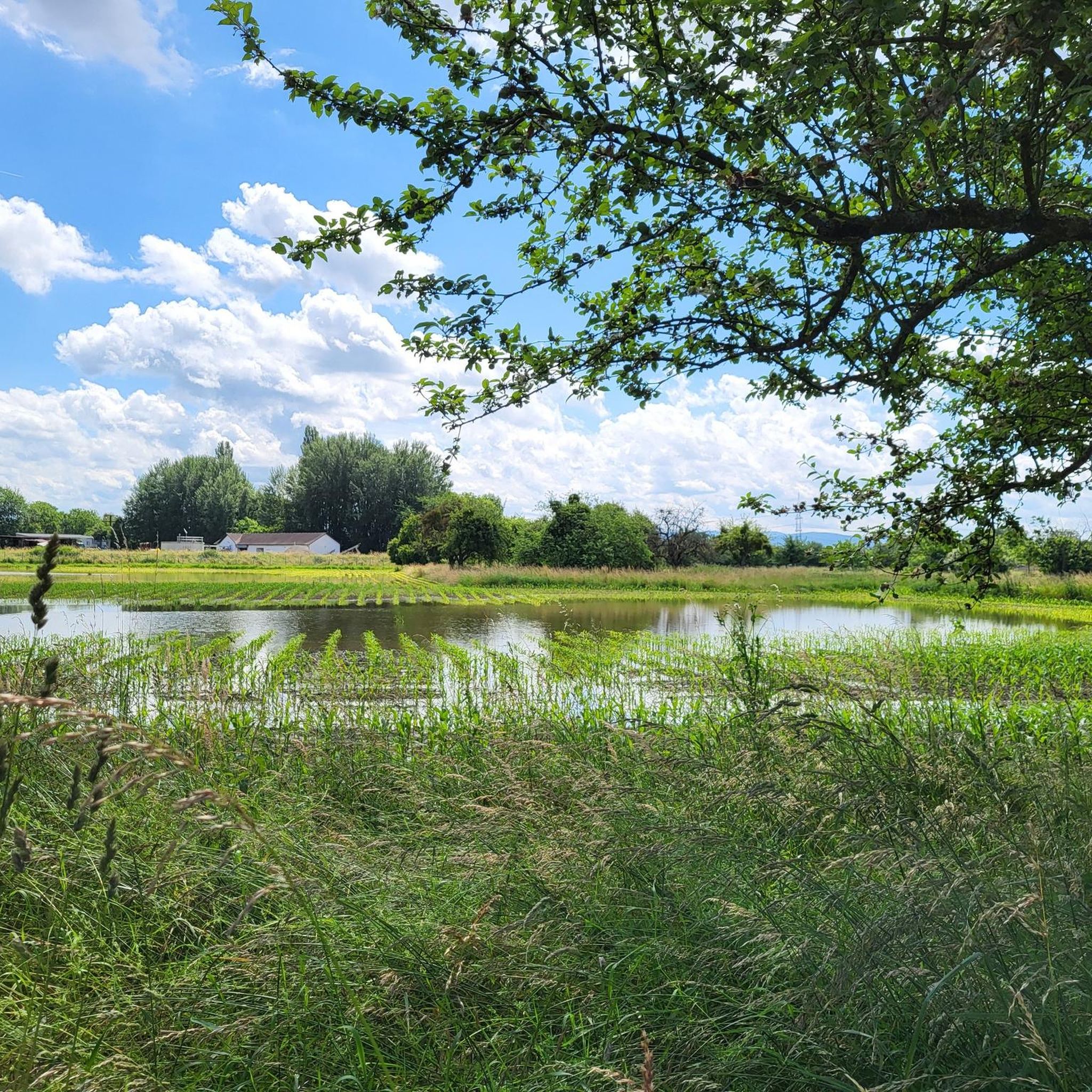
MTB Trails in Rheinniederung Zwischen Au Am Rhein, Durmersheim Und Rheinstetten
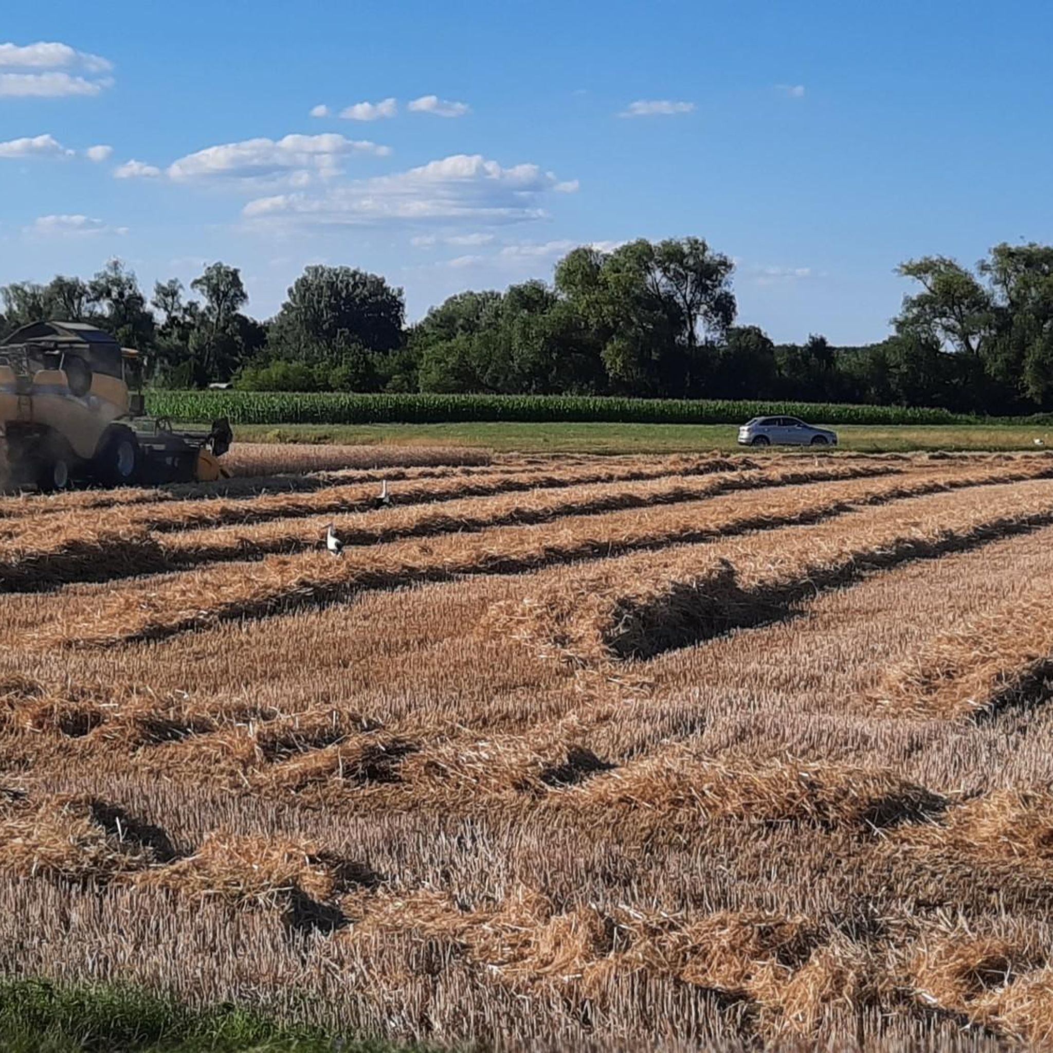
Cycling in Rheinniederung Zwischen Au Am Rhein, Durmersheim Und Rheinstetten
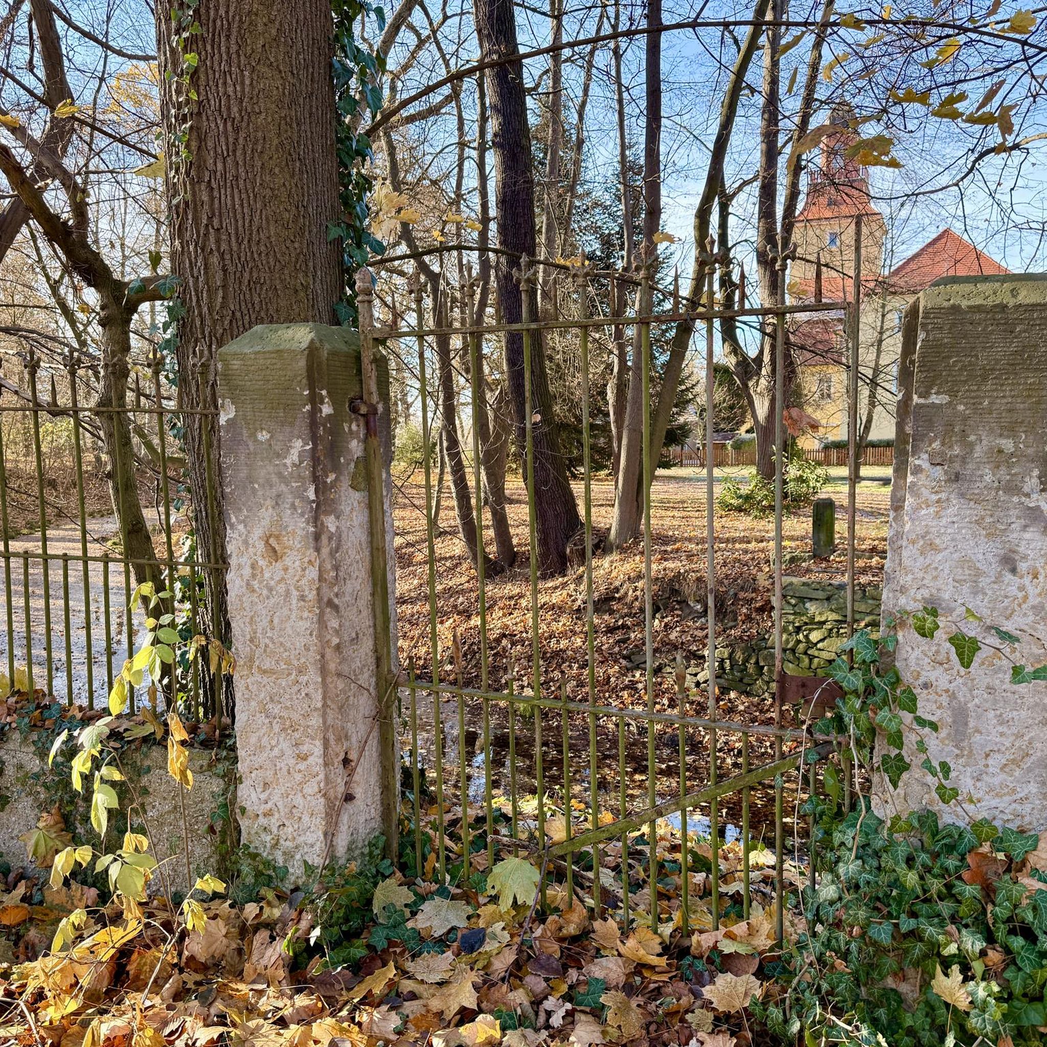
Gravel biking in Rheinniederung Zwischen Au Am Rhein, Durmersheim Und Rheinstetten
Tips from the Community

Directly adjacent you will find the idyllic Fermasee. The front part is designed as a bathing beach, the back part belongs to the waterfowl and forest animals. Two viewing platforms provide information about the swans, herons, coots, cormorants, ducks, geese and Co. A paved path leads around the entire body of water. The northern part is a protected landscape area and belongs to the Rheinauen Neuburgweier.
0
0

This covered statue of Mary stands beneath two large linden trees at a crossroads next to the cemetery.
2
0

Beautiful nature around the Old Rhine.
0
0

There are some blackberry hedges here. But what else?
2
2

It's a good place to watch birds.
3
1

Fans of good ice cream can't miss the center of Neuburgweier.
0
0

An old branch of the Rhine flows through here, forming a beautiful floodplain. There's always something to see and do. There's also a "floodplain adventure trail" with information boards. Not recommended in summer during mosquito season, however. It's no fun at all.
0
1
Frequently Asked Questions
How many hiking trails are available in the Rheinniederung region?
There are over 840 hiking trails in Rheinniederung Zwischen Au Am Rhein, Durmersheim Und Rheinstetten. This extensive network offers a wide variety of options for all preferences and fitness levels.
What is the general difficulty level of hiking trails in Rheinniederung?
The majority of trails in this region are considered easy, with over 620 routes falling into this category. There are also more than 200 moderate trails and a few more challenging options for experienced hikers. The terrain is generally flat, making it accessible for many.
What kind of landscape can I expect while hiking in Rheinniederung?
The Rheinniederung region is characterized by its unique wetland environment, shaped by former Rhine loops and an extensive network of water bodies, including the Federbach. You'll encounter the Federbach Aue with its reeds and willow bushes, as well as over 40 hectares of contiguous meadows interspersed with small forests. It's a diverse landscape reflecting its historical status as an active Rhine floodplain.
When is the best time of year to go hiking in Rheinniederung?
The Rheinniederung is suitable for hiking throughout much of the year. Spring and autumn offer pleasant temperatures and beautiful natural colors, while summer provides lush greenery. Due to the generally flat terrain, many trails can also be enjoyed in milder winter conditions.
Are there family-friendly hiking options in Rheinniederung?
Yes, the region is known for its easy-to-navigate and accessible paths, making it ideal for family outings. Many routes are suitable for children and offer a chance to explore nature without strenuous climbs. For example, the Ferma Lake – Observation Deck at Fermasee loop from DHL Paketshop is an easy 3.5-mile path that leads to a scenic viewpoint.
Can I bring my dog on the hiking trails?
Most trails in the Rheinniederung region are dog-friendly, allowing you to enjoy the natural beauty with your canine companion. However, as it is a nature and landscape protection area, always keep your dog on a leash and respect local wildlife and other hikers.
Are there any circular hiking routes?
Yes, many of the trails in Rheinniederung are designed as circular routes, allowing you to start and end at the same point. A popular option is the Old Rhine arm – Fermasee viewpoint loop from DHL Paketshop, which is a moderate 8.7-mile trail offering views of the old Rhine arm and Fermasee.
What natural features or viewpoints can I see along the trails?
Hikers can enjoy several points of interest. The Benches With a View of the Rheinniederung Conservation Area offer scenic vistas. You can also visit the observation deck at Fermasee, part of an old Rhine arm, or explore the Federbach Aue. The Rheinniederung Between Au am Rhein, Durmersheim and Rheinstetten Nature Reserve itself is a significant natural highlight.
What do other hikers enjoy the most about hiking in Rheinniederung?
The area is highly rated by the komoot community, with an average score of 4.4 stars from nearly 3,000 reviews. Hikers frequently praise the peaceful atmosphere, the well-maintained paths, and the diverse natural scenery, especially the old Rhine meanders and the Federbach Aue.
Are there any specific attractions or landmarks to look out for?
Beyond the natural beauty, you can find specific points of interest like the observation deck at Fermasee, which provides excellent views over the water. Another notable spot is the bridge spanning the Federbach, offering a closer look at this central waterway. The Forest Path at the Edge of the Gestadebruch is also a popular highlight.
Is there parking available near the hiking trails?
Yes, many trailheads and popular starting points in the Rheinniederung region offer designated parking areas. It's advisable to check specific route details on komoot for information on parking facilities closest to your chosen starting point.
Can I access the hiking trails using public transport?
While specific public transport connections to every trailhead may vary, the towns surrounding the Rheinniederung, such as Au am Rhein, Durmersheim, and Rheinstetten, are generally accessible by public transport. From these points, you may find local bus services or short walks to reach the trail network.
Most popular routes in Rheinniederung Zwischen Au Am Rhein, Durmersheim Und Rheinstetten
Most popular attractions in Rheinniederung Zwischen Au Am Rhein, Durmersheim Und Rheinstetten

Get inspired with the komoot mobile app


Explore more
Browse the best Hikes in other regions.
