Attractions and Places To See in Rastatter Ried (Nsg) - Top 12
Best attractions and places to see in Rastatter Ried (Nsg) include a significant nature and landscape protection area in Baden-Württemberg, Germany. This region is characterized by its rich biodiversity and diverse floodplain ecosystems, encompassing remnants of the former Rhine and Murg river systems. It serves as a crucial habitat for various flora and fauna, particularly amphibians and birds. The area offers 12 distinct attractions and places to explore.
Best attractions and places to see in Rastatter Ried (Nsg)
- The most…
Last updated: May 25, 2026
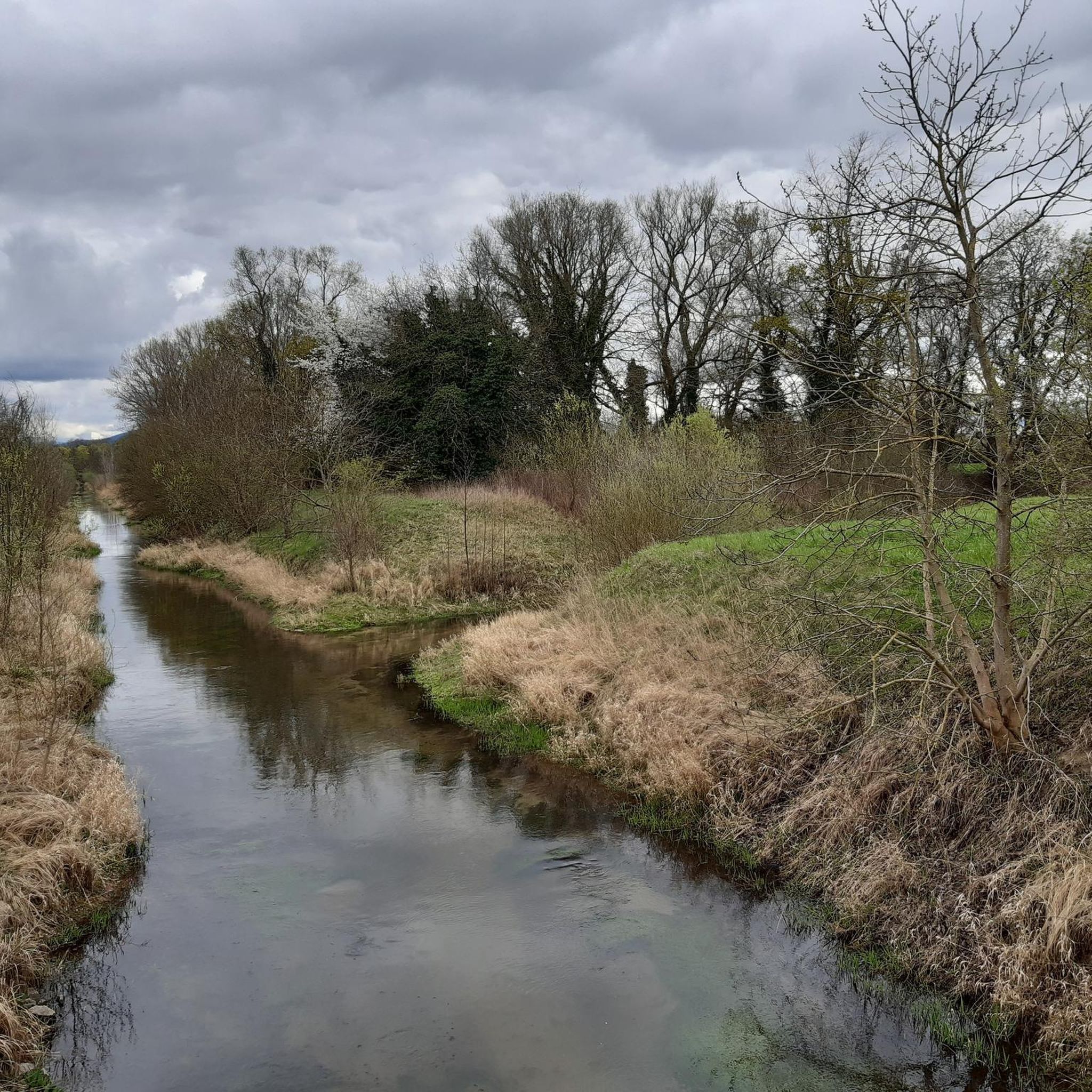
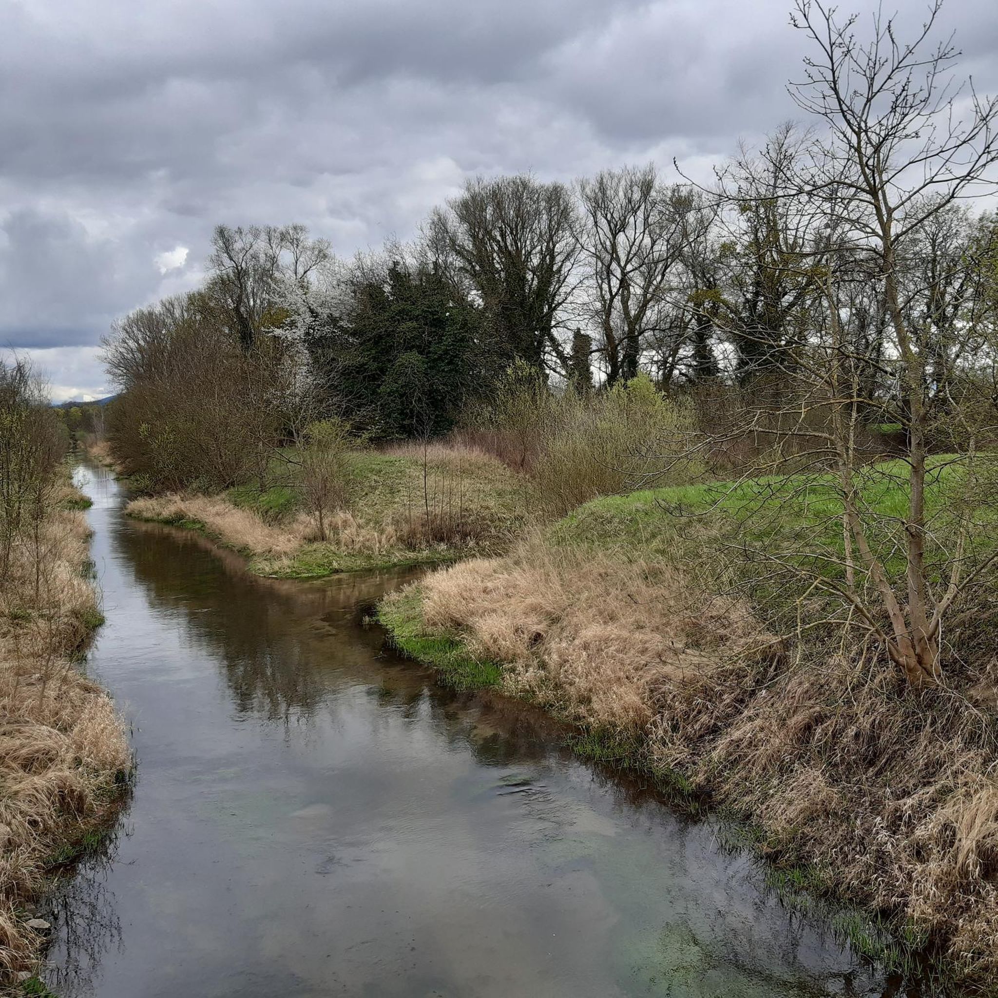
Riedkanal in the Rastatter Ried Nature Reserve
Highlight (Segment) • River
Translated by Google •
Tip by

Riedkanal
Highlight • River
Translated by Google •
Tip by

Sign up now to discover places like this
Get recommendations on the best single tracks, peaks, & plenty of other exciting outdoor places.
Sign up for free
Ried Canal in the Rastatter Ried Nature Reserve
Highlight • River
Translated by Google •
Tip by

Ottersdorf–Augustenvorstadt cycle path
Highlight (Segment) • Cycleway
Translated by Google •
Tip by

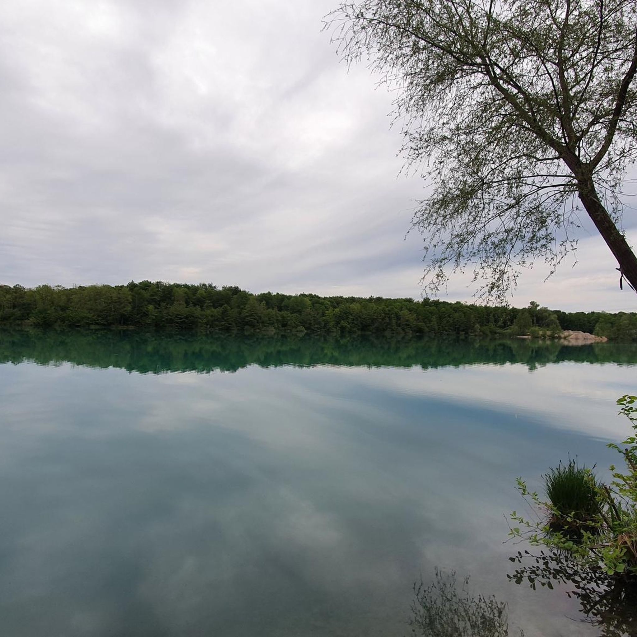
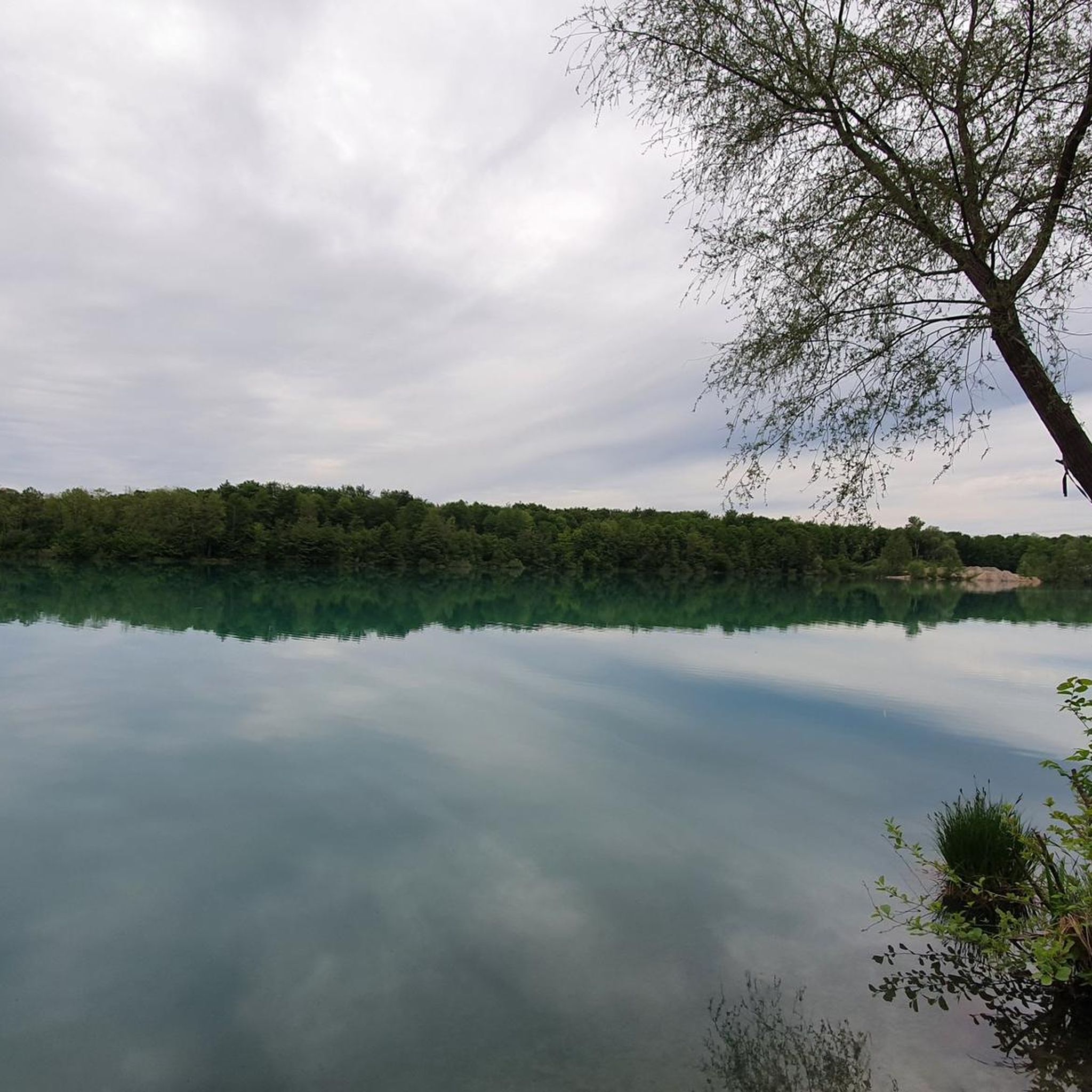
Gaggenau Lake Ottersdorf
Highlight • Lake
Caution: Actually not a swimming lake. Partly steep banks above and below water.
Translated by Google •
Tip by

Sign up for free to discover even more attractions in Rastatter Ried (Nsg).
Sign up for free
Already have an account?
Start today with a free account
Your next adventure awaits.
Login or Signup
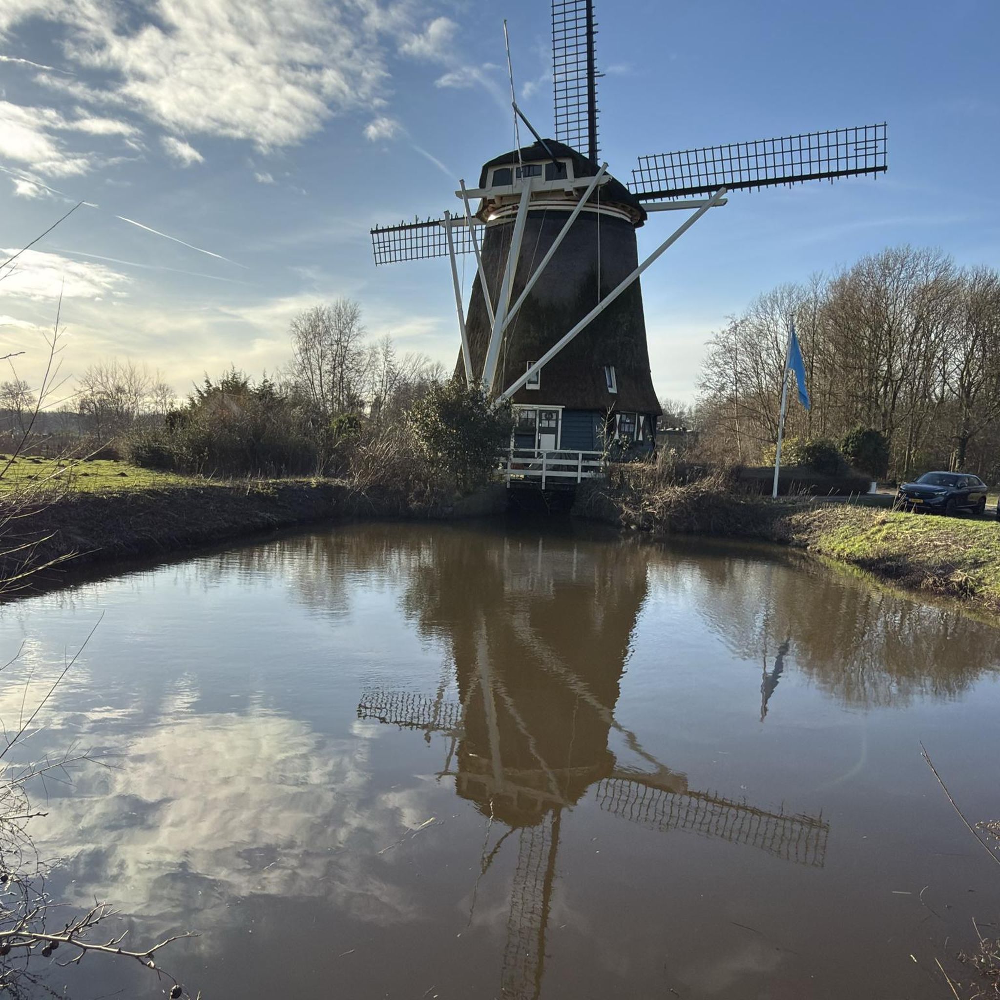
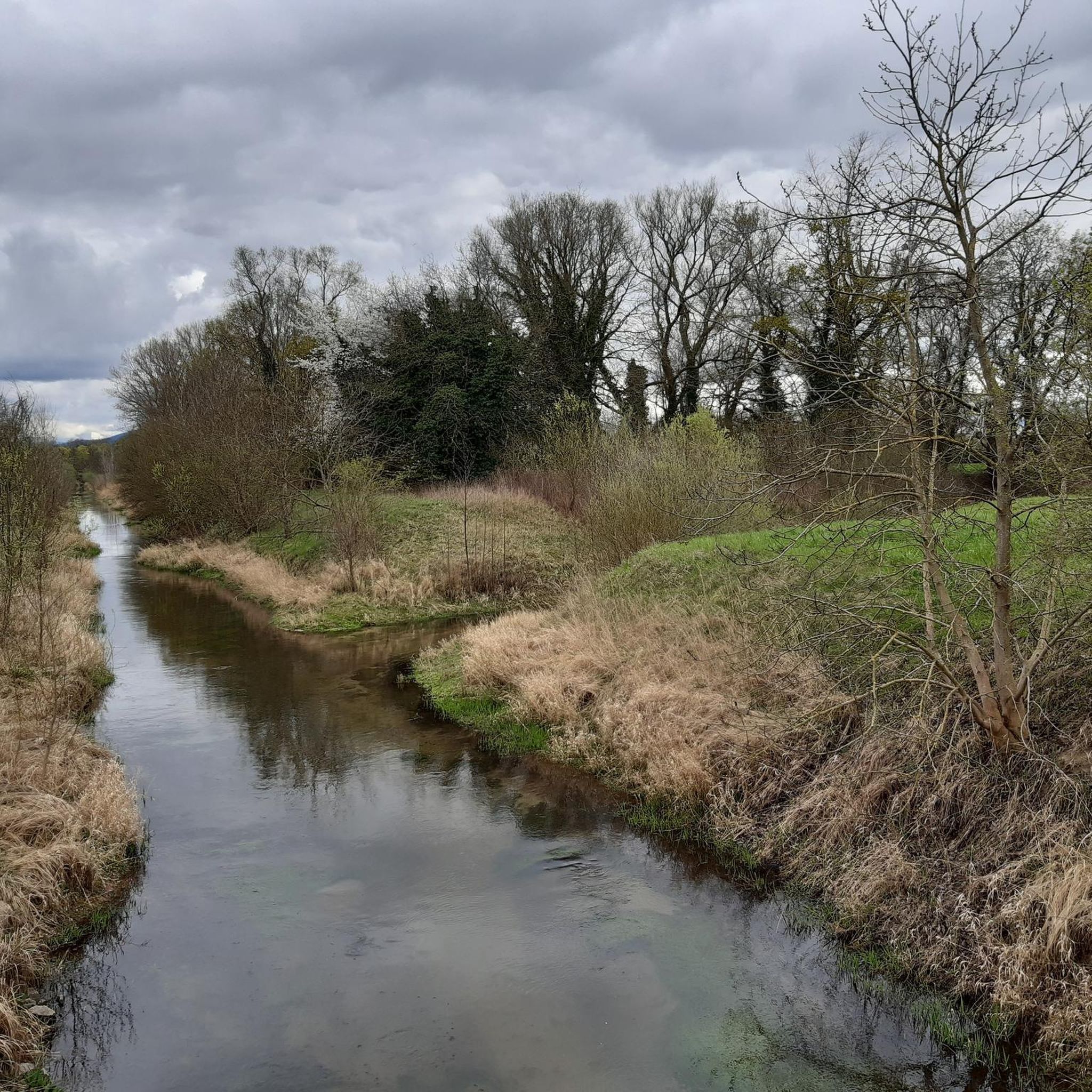
Tips from the Community

The name Riedkanal is derived from the term Ried for the area around today's Rastatt districts of Ottersdorf, Plittersdorf, and Wintersdorf. The initiative to build the Riedkanal came from the Murg District Directorate in 1812. The plan was to build a canal between Iffezheim and the mouth of the Murg, draining 32 km² of land and making it suitable for agriculture. The canal was designed to accommodate a discharge of 2 to 3 m³/s near Iffezheim and 20 m³/s at the mouth. In April 1817, the communities of Iffezheim, Sandweier, Wintersdorf, Ottersdorf, Plittersdorf, and Rastatt founded a rival association, which began building the Riedkanal in 1827. Completed several years later, the canal flowed into the Murg from the left opposite Steinmauern. The rival association was dissolved in 1906 because the distribution of the canal's maintenance costs was considered unfair. In the following years, the municipalities maintained their respective portions of the riverbank, which led to the canal being severely neglected until 1933. In 1933, the Riedkanal-Zweckverband (Ried Canal Association), which still exists today, was founded. By 1938, the current mouth of the Rhine was built, reducing the water level during floods. The culvert under the Murg was financed by the state of Baden. It is 112 meters long, consists of two pipes, each with a cross-sectional area of 4.3 m², and can drain up to 25 m³/s of water.[11] In addition, the canal was deepened and supplemented with drainage ditches, which became popularly known as "Schnakengräben" (snakes' ditches). The pumping station near Steinmauern was built in the 1960s. It is equipped with four pumps; Two pumps lift 3 m³/s of water each from the Riedkanal during Rhine floods, while the other two pumps, with 1.5 and 0.5 m³/s respectively, are responsible for the Altmurg. Source: Wikipedia - Riedkanal (Upper Rhine) w.wiki/_pZxz
1
0
The name Riedkanal derives from the term "Ried" for the area surrounding the present-day Rastatt districts of Ottersdorf, Plittersdorf, and Wintersdorf. The initiative to build the Riedkanal came from the Murg District Board in 1812. The plan was to build a canal between Iffezheim and the mouth of the Murg River, draining 32 km² of land and making it suitable for agriculture. The canal was designed to accommodate a discharge of 2 to 3 m³/s near Iffezheim and 20 m³/s at the mouth. In April 1817, the municipalities of Iffezheim, Sandweier, Wintersdorf, Ottersdorf, Plittersdorf, and Rastatt founded a rival association, which began building the Riedkanal in 1827. Completed after several years, the canal flowed into the Murg River from the left, opposite Steinmauern. In 1906, the competition was dissolved because the distribution of the canal's maintenance costs was considered unfair. In the following years, the municipalities maintained their respective portions of the riverbank, which led to severe neglect of the canal until 1933. In 1933, the Riedkanal-Zweckverband (Ried Canal Association), which still exists today, was founded. By 1938, the current mouth into the Rhine was built, reducing the water level during floods. The culvert under the Murg River was financed by the state of Baden. It is 112 meters long, consists of two pipes, each with a cross-sectional area of 4.3 m², and can discharge up to 25 m³/s of water.[11] In addition, the canal was deepened and supplemented with drainage ditches, which became popularly known as "Schnakengräben" (snake ditches). The pumping station near Steinmauern was built in the 1960s. It is equipped with four pumps; During Rhine floods, two pumps each lift 3 m³/s of water from the Ried Canal, while the other two pumps, with 1.5 and 0.5 m³/s, are responsible for the Altmurg. Source: Wikipedia - Ried Canal (Upper Rhine) https://w.wiki/_pZxz
3
2

Great new bike path for flying - but don't forget the landscape! Behind the reed bed there are floodplains with lots of amphibians and birds!
1
3

My prayers were answered. Finally, this beautiful path has been resurfaced and the potholes that appeared every year have disappeared.
4
4
There are now signs and fences everywhere. A pity.
3
0

Well-developed bike path, super asphalt and nice and shady in summer.
1
0


Mandatory cycle path between the towns of Augustenvorstadt and Ottersdorf. Tarmac is good. Cycle path Runs parallel to the road for the most part.
1
0
Frequently Asked Questions
What are the main natural features to explore in Rastatter Ried (Nsg)?
Rastatter Ried (Nsg) is renowned for its diverse floodplain ecosystems. You can explore remnants of the former Rhine and Murg river systems, which serve as valuable amphibian spawning grounds. The area also boasts the region's largest continuous wet oak-hornbeam forest, featuring trees like oaks, elms, and ashes adapted to flooding. The adjacent Rastatter Rheinaue offers an intact floodplain environment with rare plant and animal communities, including a beautiful silver willow forest and numerous lakes like the Großer Binsenfeldsee.
Are there any historical landmarks or significant man-made features in the area?
Yes, the Riedkanal in the Rastatter Ried Nature Reserve is a significant historical feature. Initiated in 1812, this canal was built to drain land for agricultural use. Recent naturalization efforts have reshaped sections of the Riedkanal, benefiting local fish species and kingfishers. It also offers beautiful walking and cycling routes.
What kind of outdoor activities can I do in Rastatter Ried (Nsg)?
Rastatter Ried (Nsg) is ideal for nature enthusiasts. You can enjoy extensive walking and cycling on numerous well-maintained paths. Popular routes include those along the Riedkanal and the Ottersdorf–Augustenvorstadt cycle path. For more specific routes, you can find various easy and moderate hikes, as well as cycling tours, in the region. For example, explore easy hikes like the "Lakes of Rastatter Rheinaue" loop or cycling tours such as the "Riedkanal – Ötigheim barbecue hut" loop. You can find detailed routes for hiking and cycling on komoot.
Are there family-friendly attractions or activities in Rastatter Ried (Nsg)?
Absolutely! The Ottersdorf–Augustenvorstadt cycle path is a well-developed, shaded route perfect for families, avoiding busy roads. In the Rastatter Rheinaue, children will love the Piratenschiff-Spielplatz, a pirate ship-themed playground with seating for picnics. Additionally, observing stork nests along the road from Plittersdorf to the Rhine ferry can be a delightful activity for all ages.
What kind of wildlife can I expect to see in Rastatter Ried (Nsg)?
Rastatter Ried (Nsg) is a crucial habitat for various flora and fauna, particularly amphibians and birds. The floodplain ecosystems and former river courses provide valuable spawning grounds for amphibians. Birdwatchers can spot species like kingfishers, especially near the Murg River and the naturalized sections of the Riedkanal. Storks are also a common sight, with nests visible in the Rastatter Rheinaue.
What is the best time to visit Rastatter Ried (Nsg)?
The area is beautiful year-round, but spring and summer are particularly vibrant for observing wildlife and enjoying outdoor activities like cycling and hiking. The wet oak-hornbeam forests are lush, and amphibian activity is high. Autumn offers beautiful foliage, while winter can provide a serene, quiet experience, though some paths might be muddy.
Are there any quiet spots for nature observation or relaxation?
Yes, the Forest Path in Rastatter Ried Nature Reserve offers a quiet environment where you can listen to birds and enjoy nature. It's unpaved but suitable for a peaceful stroll. The Großer Binsenfeldsee, a beautiful small lake in the old Rhine arm near Plittersdorf, also provides seating for visitors to simply enjoy the scenery and relax.
What makes Rastatter Ried (Nsg) internationally significant?
Rastatter Ried (Nsg) holds international recognition as a "Ramsar site" since 2008 due to its outstanding natural features, particularly its wetlands. It was also included in the Natura 2000 network in 2005, granting it European protection. These designations highlight its importance for biodiversity and ecological conservation.
Where can I learn more about the region's history and nature?
For those interested in delving deeper into the region's background, a visit to the Riedmuseum in Ottersdorf is recommended. It offers insights into the natural and cultural history of the Rastatter Ried area.
What do visitors enjoy most about the attractions in Rastatter Ried (Nsg)?
Visitors frequently praise the peaceful and natural environment. For instance, the Forest Path in Rastatter Ried Nature Reserve is appreciated for its quietness and the opportunity to observe nature. The Ottersdorf–Augustenvorstadt cycle path is popular for being well-developed, shaded, and avoiding busy roads. The naturalization efforts along the Riedkanal are also noted for enhancing the habitat for local wildlife.
Are there any specific trails or paths recommended for exploring the forests?
Yes, the Forest Path in Rastatter Ried Nature Reserve is a great option. It leads through the forest and over a natural meadow, offering a quiet and immersive experience. The region's oak-hornbeam forests are particularly impressive, and many paths wind through these areas, allowing you to experience the largest contiguous forest area in the region.
Can I find places to sit and rest while exploring Rastatter Ried (Nsg)?
Yes, several spots offer opportunities to rest and enjoy the surroundings. The Großer Binsenfeldsee near Plittersdorf has seating for visitors. Additionally, the Piratenschiff-Spielplatz in the Rastatter Rheinaue, while primarily for families, also provides seating for picnics and relaxation.
Most popular routes in Rastatter Ried (Nsg)

Get inspired with the komoot mobile app


Explore more
Still not found the Highlight you’re looking for? See guides of the top attractions in other regions:
