The best walks and hikes in Rastatter Ried (Nsg)
4.5
(3319)
15,592
hikers
723
hikes
Hiking in Rastatter Ried (Nsg) offers routes through a landscape characterized by the Rhine floodplains (Rheinaue), numerous lakes, and low-lying wetlands. The terrain is generally flat, with minimal elevation changes, making it accessible for various activity levels. This region is part of a nature reserve, providing opportunities to explore diverse aquatic and riparian ecosystems.
Best hiking trails in Rastatter Ried (Nsg)
- The most popular hiking route is Rastatter Rheinaue Lakes – Lakes of Rastatter Rheinaue loop from Rastatter Ried (NSG)…
Last updated: July 8, 2026
4.7
(15)
54
hikers
7.69km
01:57
10m
10m
Easy hike. Great for any fitness level. Easily-accessible paths. Suitable for all skill levels.
5.0
(3)
17
hikers
17.8km
04:30
30m
30m
Moderate hike. Good fitness required. Easily-accessible paths. Suitable for all skill levels.

Sign up for free
5.0
(4)
19
hikers
7.68km
01:56
10m
10m
Easy hike. Great for any fitness level. Easily-accessible paths. Suitable for all skill levels.
4.6
(171)
564
hikers
Moderate hike. Good fitness required. Easily-accessible paths. Suitable for all skill levels.
4.8
(39)
105
hikers
7.44km
01:53
20m
20m
Easy hike. Great for any fitness level. Easily-accessible paths. Suitable for all skill levels.
Get access to more routes and recommendations from other explorers.
Sign up for free
Already have an account?
Our route recommendations are based on thousands of hikes, rides, and runs completed by other people on komoot.
Start today with a free account
Your next adventure awaits.
Login or Signup
Tips from the Community

Great cycle path to the mouth of the Murg into the Rhine
0
0

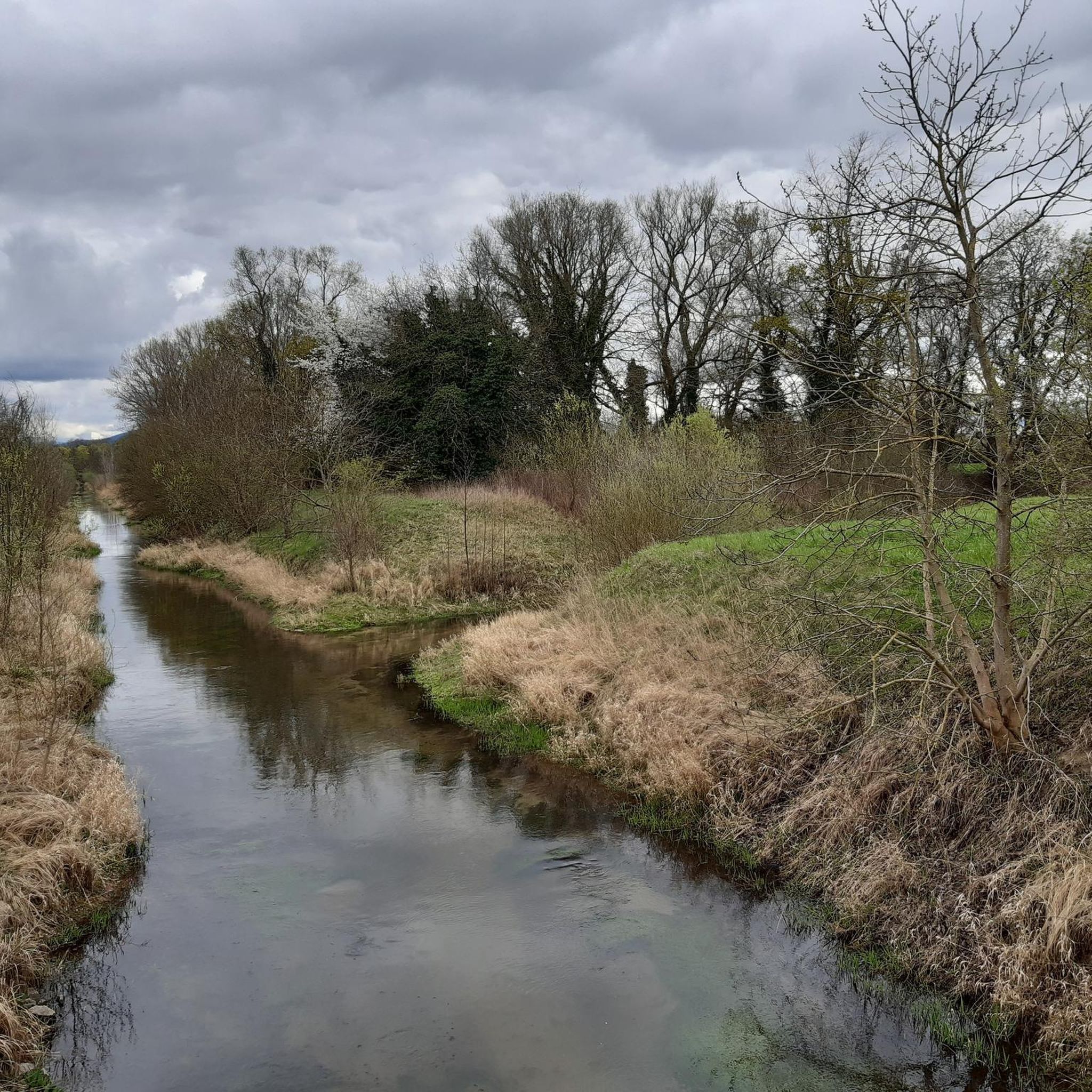
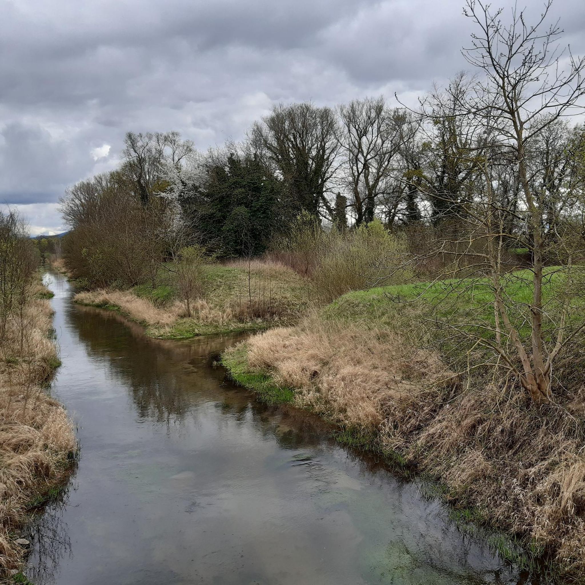
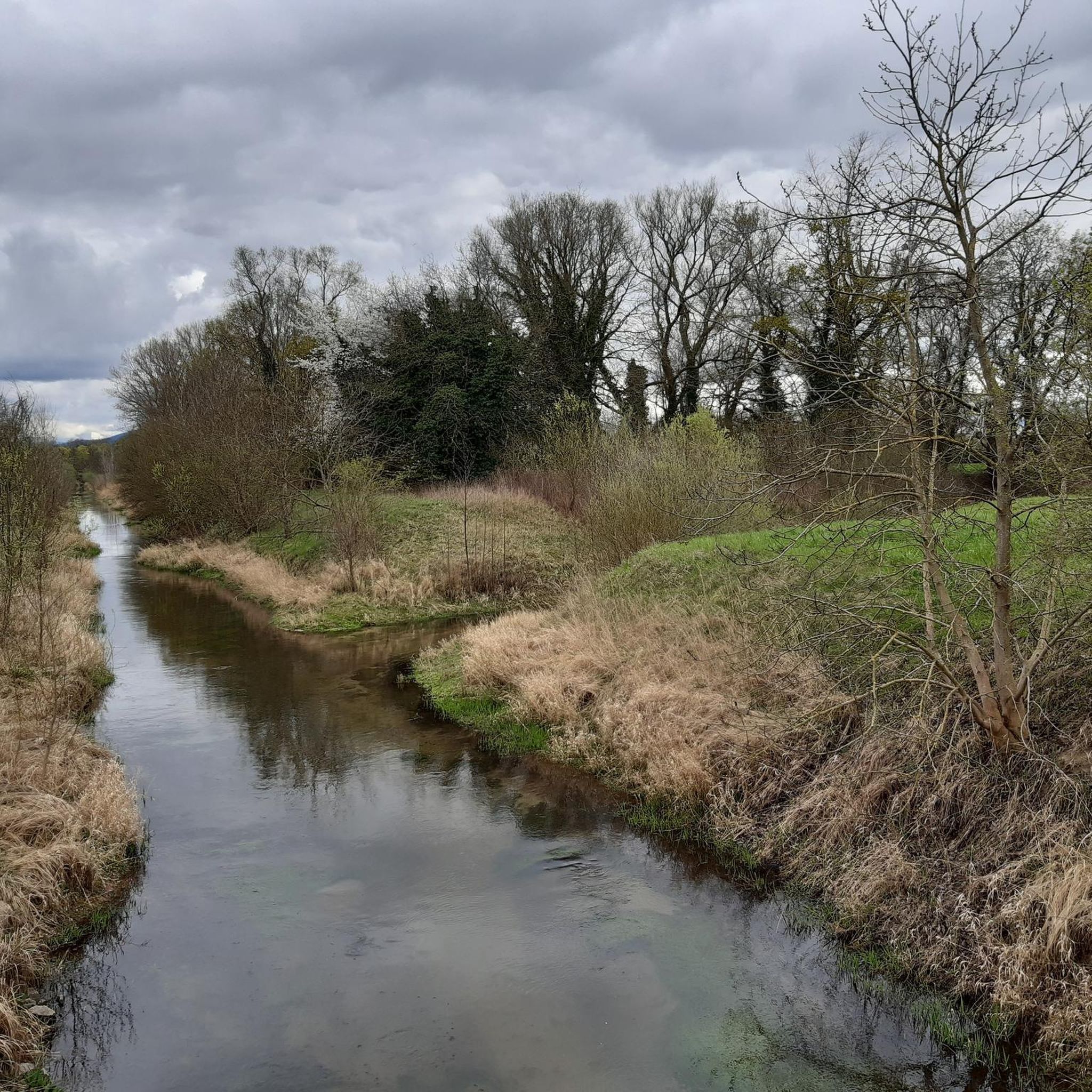
Beautiful path through the idyllic Rhine meadows.
2
0
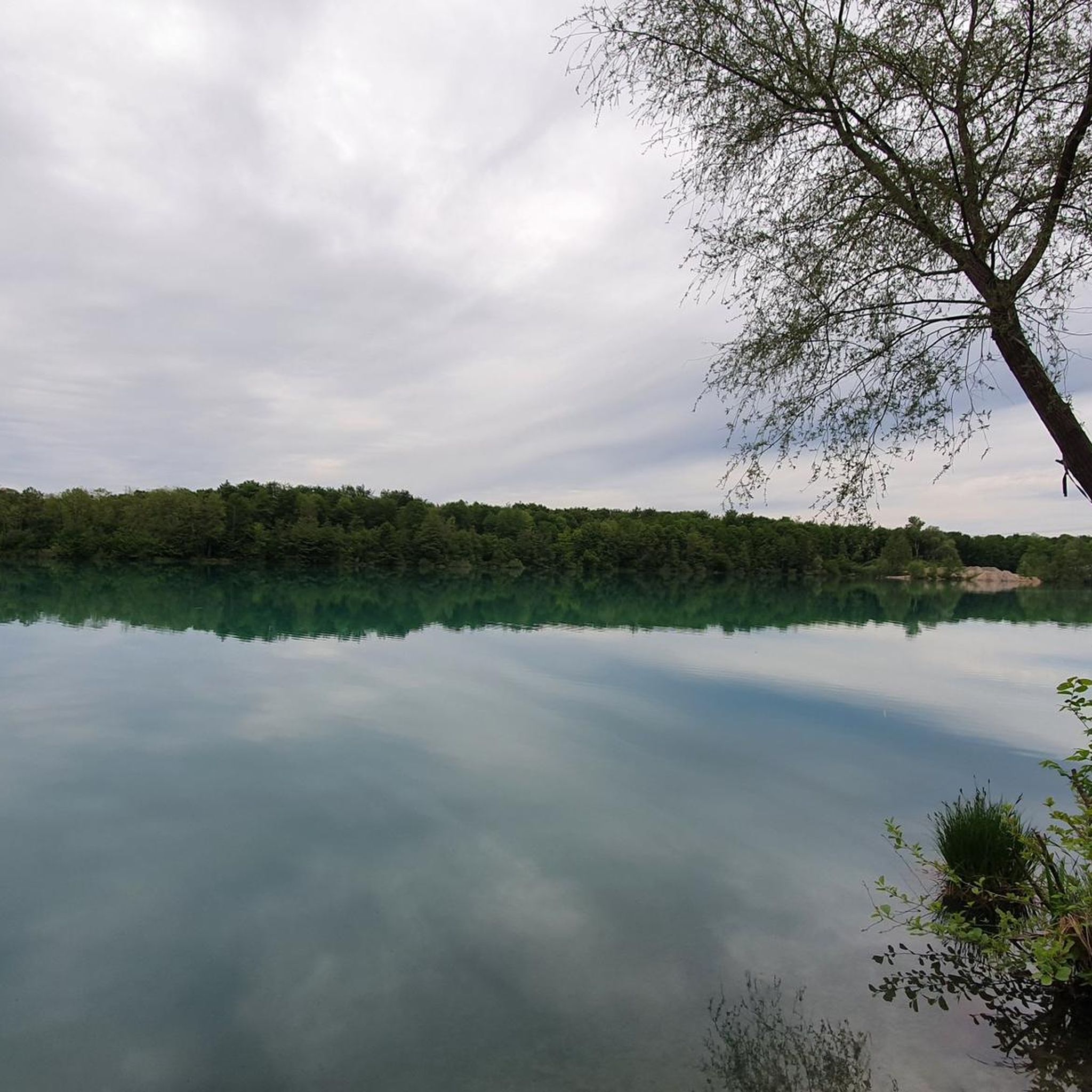
A large floodplain with numerous lakes and a beautiful white willow forest. It is home to numerous plant and animal communities. It has long been protected as a nature reserve.
5
0

A small, easily overlooked path branches off from the main path. The bunker is located about 10-15 meters from the main path. The bunker was part of the former West Wall.
3
0

Rhine floodplains at their best. It's beautiful here!
2
0

Remote, quiet and beautiful
0
0

On the official map of the State Environment Agency of Baden-Württemberg, the Rhine lowland canal from the L78b (road to the Rhine bridge in Wintersdorf) is referred to as the Altrhein Wintersdorf.
1
0

althrein above the dam
1
2
Frequently Asked Questions
How many hiking trails are available in Rastatter Ried (Nsg)?
There are over 700 hiking trails in Rastatter Ried (Nsg), offering a wide range of options for different preferences and fitness levels. More than 500 of these are classified as easy.
Are there easy hiking trails suitable for beginners in Rastatter Ried (Nsg)?
Yes, Rastatter Ried (Nsg) is ideal for beginners and casual walkers due to its generally flat terrain and minimal elevation changes. Over 500 easy routes are available. A good option is the Ottersdorf Quarry Lake loop from Rastatter Ried (NSG), which is 2.5 miles (4.1 km) long and takes about an hour.
Can I find circular hiking routes in Rastatter Ried (Nsg)?
Many of the trails in Rastatter Ried (Nsg) are circular, allowing you to start and end at the same point. For example, the Hüttenköpfel loop from Rastatter Rheinaue is an easy 4.8-mile (7.7 km) path that offers views of the Rheinaue landscape.
What kind of landscape and views can I expect while hiking in Rastatter Ried (Nsg)?
The landscape in Rastatter Ried (Nsg) is defined by the Rhine floodplains (Rheinaue), numerous lakes, and low-lying wetlands. You can expect tranquil views of diverse aquatic and riparian ecosystems, with open fields and forested sections. The flat terrain provides expansive vistas of the natural reserve.
Are the hiking trails in Rastatter Ried (Nsg) suitable for families with children?
Yes, the flat and accessible nature of the trails makes Rastatter Ried (Nsg) very suitable for families with children. Many routes are easy and relatively short, perfect for little legs. The natural environment also offers opportunities for wildlife spotting and exploring.
Are dogs allowed on the hiking trails in Rastatter Ried (Nsg)?
Dogs are generally welcome on the hiking trails in Rastatter Ried (Nsg), but it's important to keep them on a leash, especially as it is a nature reserve. This helps protect the local wildlife and ensures a pleasant experience for all visitors.
What are the best times of year to go hiking in Rastatter Ried (Nsg)?
Spring and autumn are particularly pleasant for hiking in Rastatter Ried (Nsg), with milder temperatures and beautiful seasonal colors. Summer can also be enjoyable, but it's advisable to start early to avoid the midday heat. Winter offers a unique, quiet experience, though some paths might be muddy.
What kind of wildlife might I spot in Rastatter Ried (Nsg)?
As a nature reserve with diverse aquatic and riparian ecosystems, Rastatter Ried (Nsg) is home to various bird species, amphibians, and insects. Keep an eye out for waterfowl on the lakes and canals, and listen for the sounds of local birds in the forested areas.
Where can I park when visiting Rastatter Ried (Nsg) for a hike?
Parking options are available at various entry points to the nature reserve. Specific parking areas are often indicated on local maps or at the start of popular trailheads. It's recommended to check the starting point of your chosen route for the nearest parking facilities.
How can I reach the hiking trails in Rastatter Ried (Nsg) using public transport?
Public transport connections to Rastatter Ried (Nsg) are available, primarily via bus services from nearby towns like Rastatt. Check local bus schedules and routes to find the most convenient stop for your desired trailhead. Some routes might require a short walk from the bus stop to the start of the trail.
Are there any cafes or places to eat near the hiking trails in Rastatter Ried (Nsg)?
While Rastatter Ried (Nsg) is primarily a natural area, you can find cafes and restaurants in the surrounding villages and towns, such as Ottersdorf or Rastatt. It's a good idea to pack snacks and drinks for your hike and plan to visit an eatery before or after your excursion.
What are some interesting natural features or landmarks to see along the trails?
Along the trails in Rastatter Ried (Nsg), you can explore various natural features. Notable points include the Riedkanal in the Rastatter Ried Nature Reserve, which is a prominent river feature, and the extensive lake systems that characterize the Rheinaue landscape. The area itself is a significant natural landmark.
What do other hikers say about their experience in Rastatter Ried (Nsg)?
The area is highly rated by the komoot community, with an average score of 4.5 stars from over 2,900 reviews. Hikers often praise the tranquil atmosphere, the well-maintained paths, and the beautiful natural scenery, especially the numerous lakes and the characteristic Rhine floodplains.
Most popular routes in Rastatter Ried (Nsg)
Most popular attractions in Rastatter Ried (Nsg)

Get inspired with the komoot mobile app


Explore more
Browse the best Hikes in other regions.
