The best gravel rides in Rastatter Ried (Nsg)
4.4
(74)
378
riders
82
rides
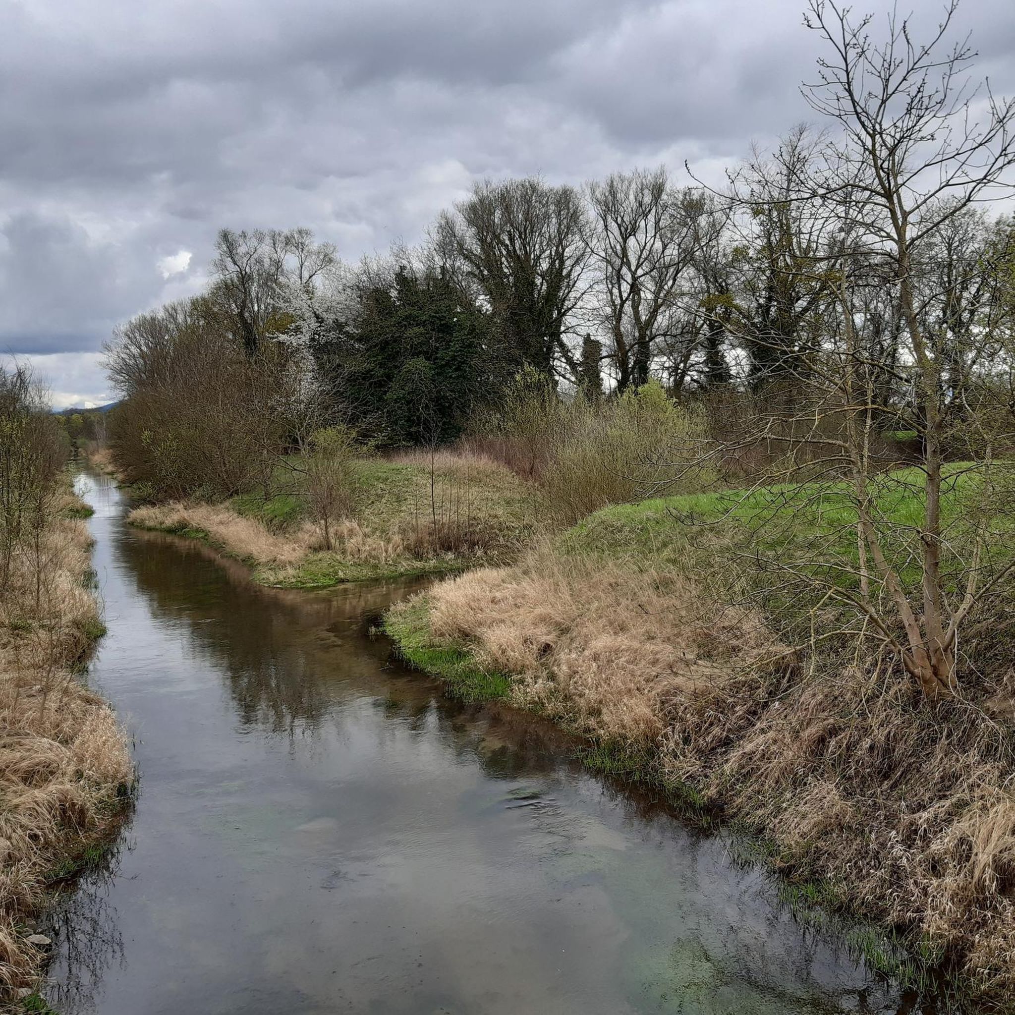
Gravel biking in Rastatter Ried (Nsg) is characterized by its flat, riverine landscape, situated within the Rhine floodplains. The region features a network of trails along rivers like the Murg and the Rhine, as well as around canals and lakes such as the Goldkanal and Fermasee. Elevation changes are minimal, making it suitable for routes that prioritize distance over climbing. The terrain primarily consists of compacted gravel paths and riverside tracks.
Best gravel bike trails in Rastatter Ried (Nsg)
- The…
Last updated: July 3, 2026
4.4
(5)
26
riders
Moderate gravel ride. Good fitness required. Mostly paved surfaces. Suitable for all skill levels.
5.0
(5)
24
riders
Moderate gravel ride. Good fitness required. Mostly paved surfaces. Suitable for all skill levels.

Sign up for free
4.8
(10)
43
riders
Moderate gravel ride. Good fitness required. Mostly paved surfaces. Suitable for all skill levels.
5.0
(2)
9
riders
Hard gravel ride. Very good fitness required. Mostly paved surfaces. Suitable for all skill levels.
4.0
(1)
9
riders
Easy gravel ride. Great for any fitness level. Mostly paved surfaces. Suitable for all skill levels.
Get access to more routes and recommendations from other explorers.
Sign up for free
Already have an account?
Our route recommendations are based on thousands of hikes, rides, and runs completed by other people on komoot.
Start today with a free account
Your next adventure awaits.
Login or Signup
Tips from the Community

Beautiful view over the Murg to the old town and the surroundings.
4
0

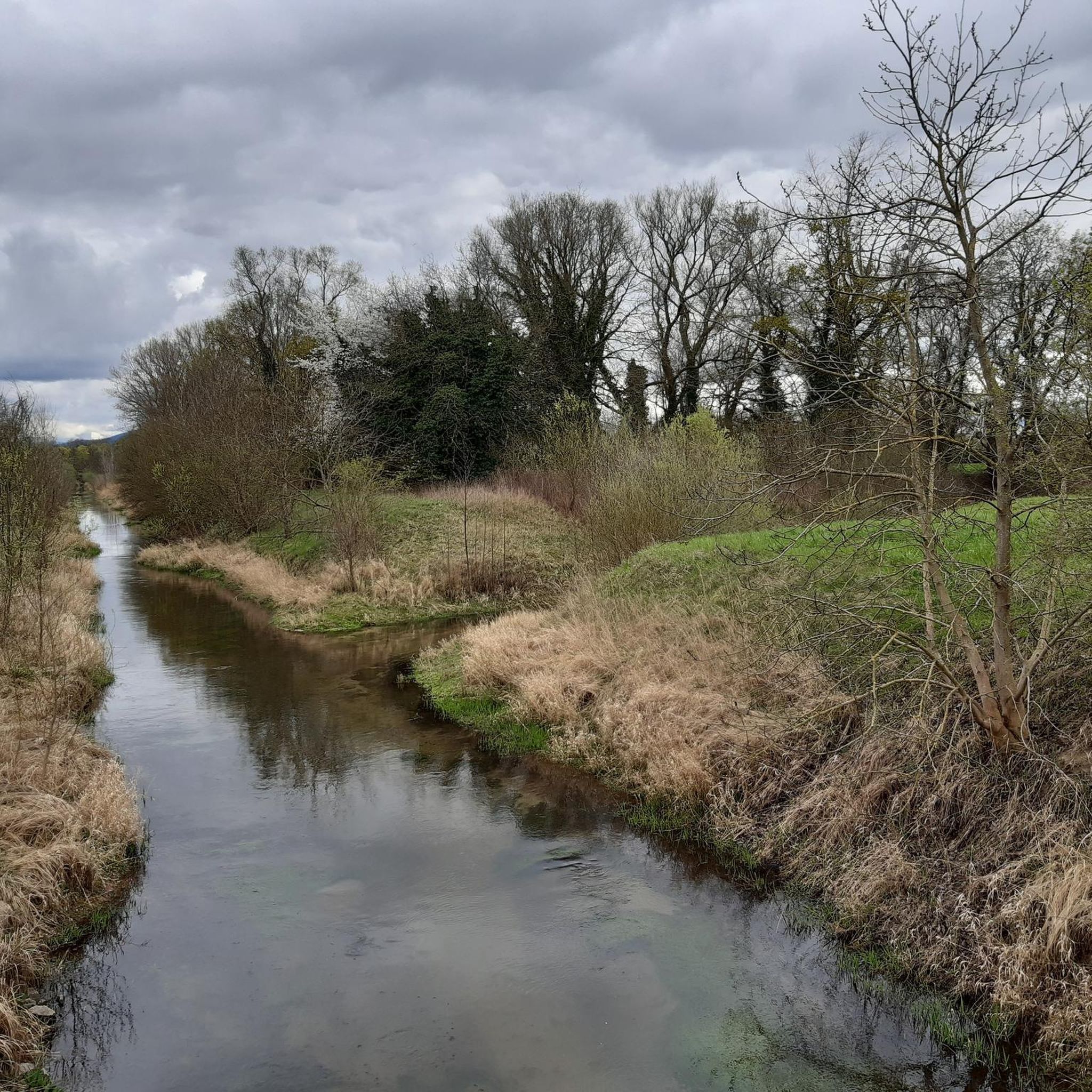
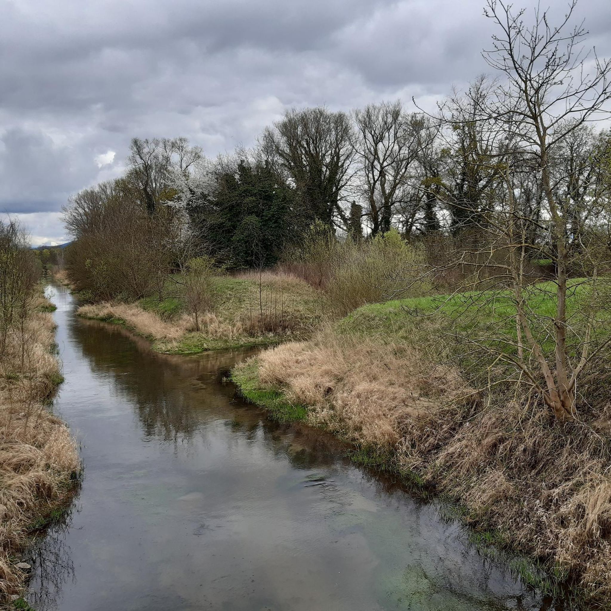
The Altrhein near Plittersdorf is a former arm of the Rhine, which was separated from the main current by the Rhine regulation in the 19th century (also called Rhine straightening). Today, the Altrhein is a calm, mostly slow-flowing or stagnant body of water in the Rhine floodplain near Plittersdorf. It is surrounded by floodplain forests, meadows, and small bodies of water. This natural landscape offers many animal and plant species an important habitat, for example birds such as herons and swans, as well as various fish species. In the past, the Rhine flowed directly past Plittersdorf and often led to floods. The course of the river was changed by the straightening, and the Altrhein was preserved as a "remnant" of the old Rhine. Today, it has above all ecological significance and also serves as a recreational area for people.
0
0
The "Saletio" cable ferry is unique in its kind. A cable system whose principle consists of using the sole force of the current to move. It connects the two banks Seltz (FR) with Plittersdorf (DE). It can transport 70 passengers, 28 bicycles, and 6 vehicles. Motorhomes and caravans are not allowed on the ferry. The ferry is free.
0
0
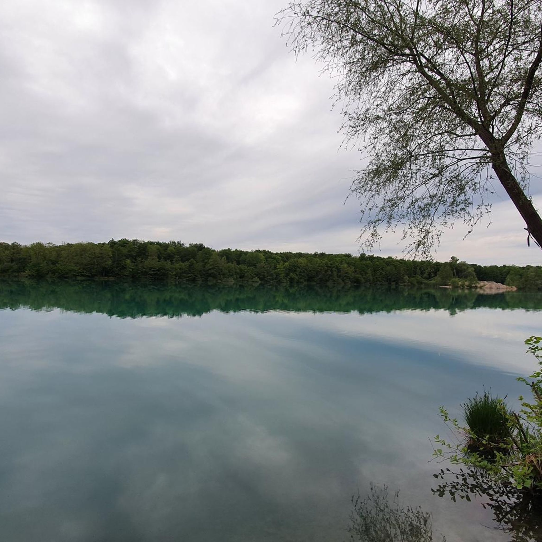
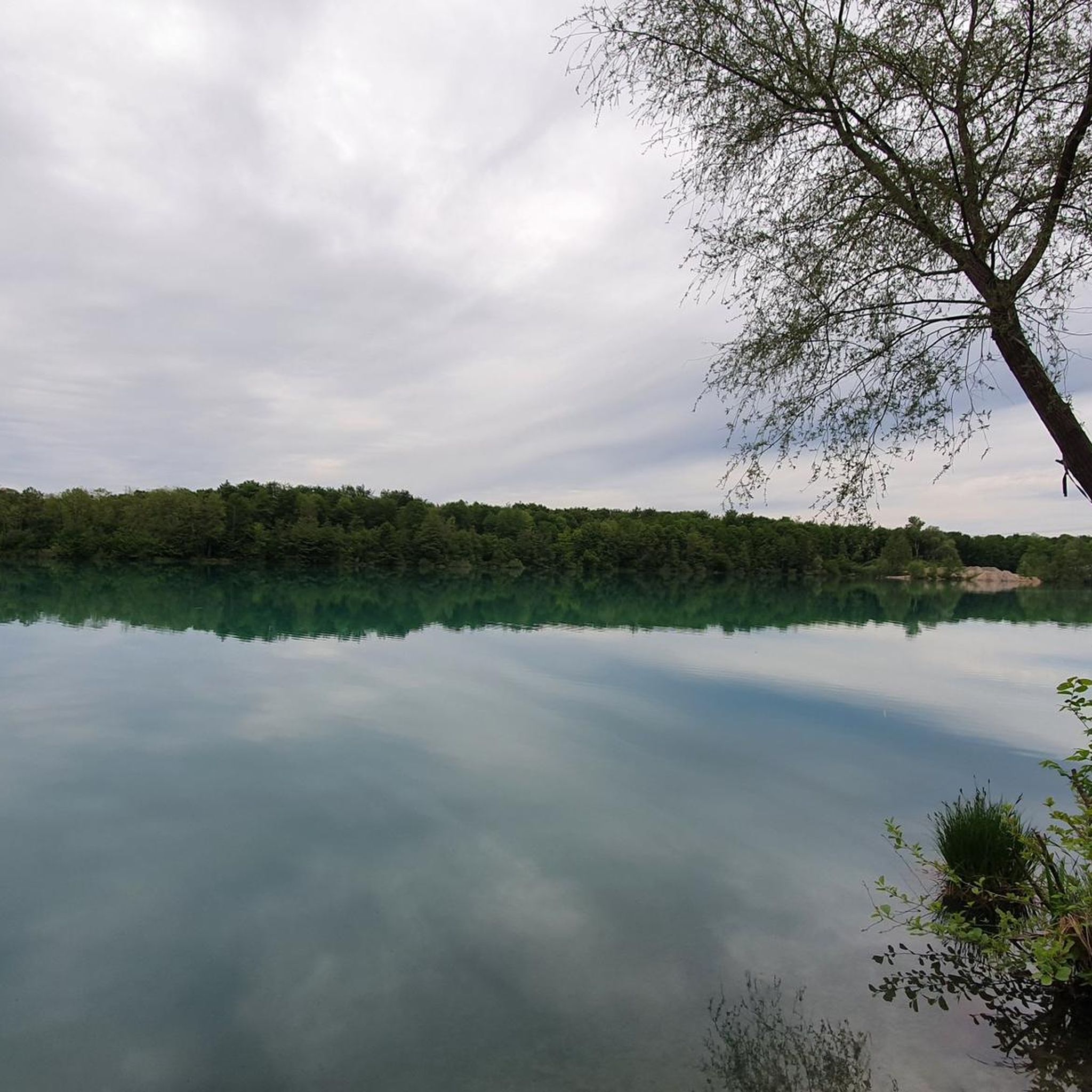
Small bathing lake with a pebble beach in the middle of the Rhine meadows. There is even a small bathing island in the water.
6
0

Beautiful park surrounding the charming Favorit Castle...
0
0
A museum ship that was still in operation until 1989. A great photo opportunity. And of course, there are information panels about the history of eel fishing on the Rhine.
6
0

Beautiful area, well-developed cycle path.
1
0

The Drusus ferry operates on the Rhine between Greffern and Drusenheim in Alsace at Rhine kilometer 321. The crossing from France to Germany was free.
6
0
Frequently Asked Questions
How many gravel bike trails are available in Rastatter Ried (Nsg)?
There are over 110 gravel bike trails in Rastatter Ried (Nsg) recorded on komoot, offering a wide range of options for different skill levels and preferences.
What are the typical trail conditions like for gravel biking in Rastatter Ried (Nsg)?
The trails in Rastatter Ried (Nsg) primarily consist of compacted gravel paths and riverside tracks. Given the flat, riverine landscape within the Rhine floodplains, elevation changes are minimal, making for generally smooth riding conditions.
Are there family-friendly gravel bike trails in Rastatter Ried (Nsg)?
Yes, many routes are suitable for families due to the flat terrain. An excellent option is the Bike path along the Murg – View of the Murg River loop from Rastatt, which is an easy 14 km path following the Murg River, providing continuous riverside scenery without significant climbs.
When is the best time of year to go gravel biking in Rastatter Ried (Nsg)?
The flat, riverine landscape of Rastatter Ried (Nsg) is generally enjoyable from spring through early autumn. These seasons offer pleasant temperatures and lower chances of flooding, which can affect trails in the Rhine floodplains during heavy rain or snowmelt.
Are there challenging gravel routes for experienced riders in Rastatter Ried (Nsg)?
While the region is predominantly flat, there are routes that offer longer distances or slightly more varied terrain. For a more demanding ride, consider the Gernsbach Old Town – Historic Center of Loffenau loop from Baden-Baden Haueneberstein, which is classified as difficult and includes significant elevation changes.
What can I see along the gravel bike trails in Rastatter Ried (Nsg)?
The trails often run along rivers like the Murg and the Rhine, as well as around canals and lakes such as the Goldkanal and Fermasee. You can also explore natural highlights like the Riedkanal in the Rastatter Ried Nature Reserve and various forest paths.
Are there any circular gravel bike routes in Rastatter Ried (Nsg)?
Yes, many of the gravel routes in Rastatter Ried (Nsg) are designed as loops. For example, the popular View of the Goldkanal – Fermasee Viewing Platform loop from Steinmauern offers extensive views and is a great circular option.
What do other gravel bikers enjoy the most about gravel biking in Rastatter Ried (Nsg)?
The area is highly rated by the komoot community, with an average score of 4.4 stars. Reviewers often praise the extensive views of the waterways, the flat and accessible terrain, and the peaceful riverside scenery.
Where can I find longer gravel bike routes in Rastatter Ried (Nsg)?
For longer rides, the region offers several options that prioritize distance over climbing. The Bridge at the Old Federbach – Old Rhine in the Rastatt Rhine Floodplain loop from Rastatt Beinle is a moderate 37 km route that takes you through the Rhine floodplains.
Can I access the gravel bike trails in Rastatter Ried (Nsg) by public transport?
Many towns and starting points for routes in the Rastatter Ried region, such as Rastatt, are accessible by public transport, including regional trains and buses. It's advisable to check local transport schedules for specific route starting points.
Are there viewpoints along the gravel routes in Rastatter Ried (Nsg)?
Yes, the routes often provide scenic viewpoints, especially along the rivers and lakes. The View of the Rhine – Along the Rhine loop from Mothern offers continuous views of the Rhine floodplains, and the Goldkanal and Fermasee areas are known for their open vistas.
Most popular routes in Rastatter Ried (Nsg)
Most popular attractions in Rastatter Ried (Nsg)

Get inspired with the komoot mobile app


Explore more
Browse the best Gravel rides in other regions.
