The best cycling routes in Ingelheimer Dünen und Sande
4.6
(7705)
43,397
riders
540
rides
Touring cycling in Ingelheimer Dünen und Sande offers routes through varied landscapes. The region is characterized by the Selz river valley, agricultural plateaus, and areas of natural sand dunes. Cyclists can expect routes that traverse open fields, follow riverbanks, and pass through cultivated areas typical of Rheinhessen. The terrain generally features gentle gradients, with some routes including moderate ascents onto higher ground.
Best touring cycling routes in Ingelheimer Dünen und Sande
- The most popular touring cycling route is Selz Riverbank…
Last updated: July 1, 2026
4.8
(27)
161
riders
17.8km
01:05
70m
70m
Easy bike ride. Great for any fitness level. Mostly paved surfaces. Suitable for all skill levels.
4.7
(150)
511
riders
46.0km
02:54
350m
350m
Moderate bike ride. Good fitness required. Mostly paved surfaces. Suitable for all skill levels.

Sign up for free
4.7
(147)
500
riders
45.7km
02:48
350m
350m
Moderate bike ride. Good fitness required. Mostly paved surfaces. Suitable for all skill levels.
4.7
(156)
626
riders
30.4km
01:53
220m
220m
Moderate bike ride. Good fitness required. Mostly paved surfaces. Suitable for all skill levels.
4.6
(65)
228
riders
55.5km
03:20
250m
170m
Moderate bike ride. Good fitness required. Mostly paved surfaces. Suitable for all skill levels.
Get access to more routes and recommendations from other explorers.
Sign up for free
Already have an account?
Our route recommendations are based on thousands of hikes, rides, and runs completed by other people on komoot.
Start today with a free account
Your next adventure awaits.
Login or Signup
Tips from the Community


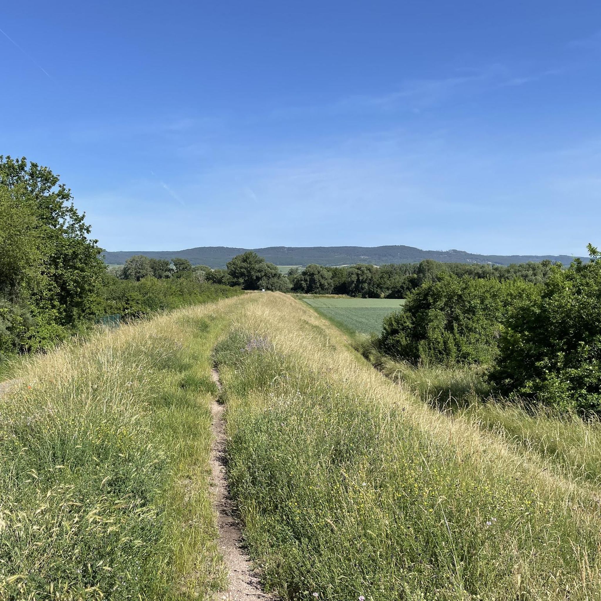
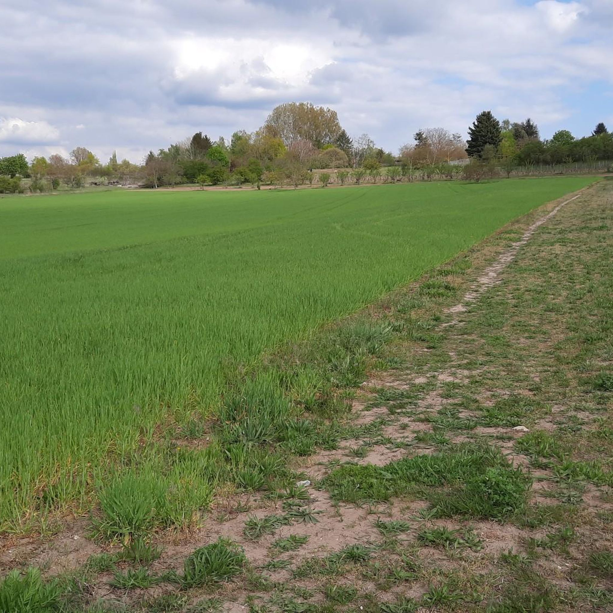
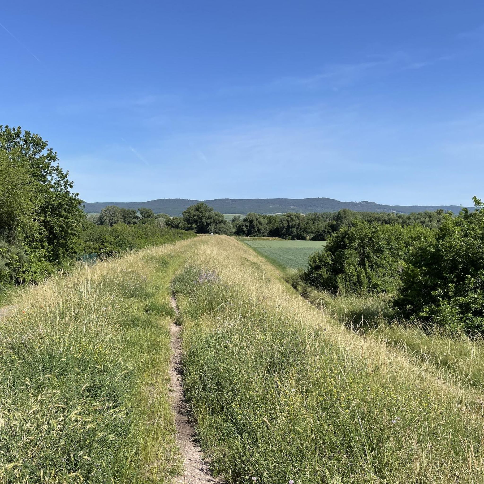
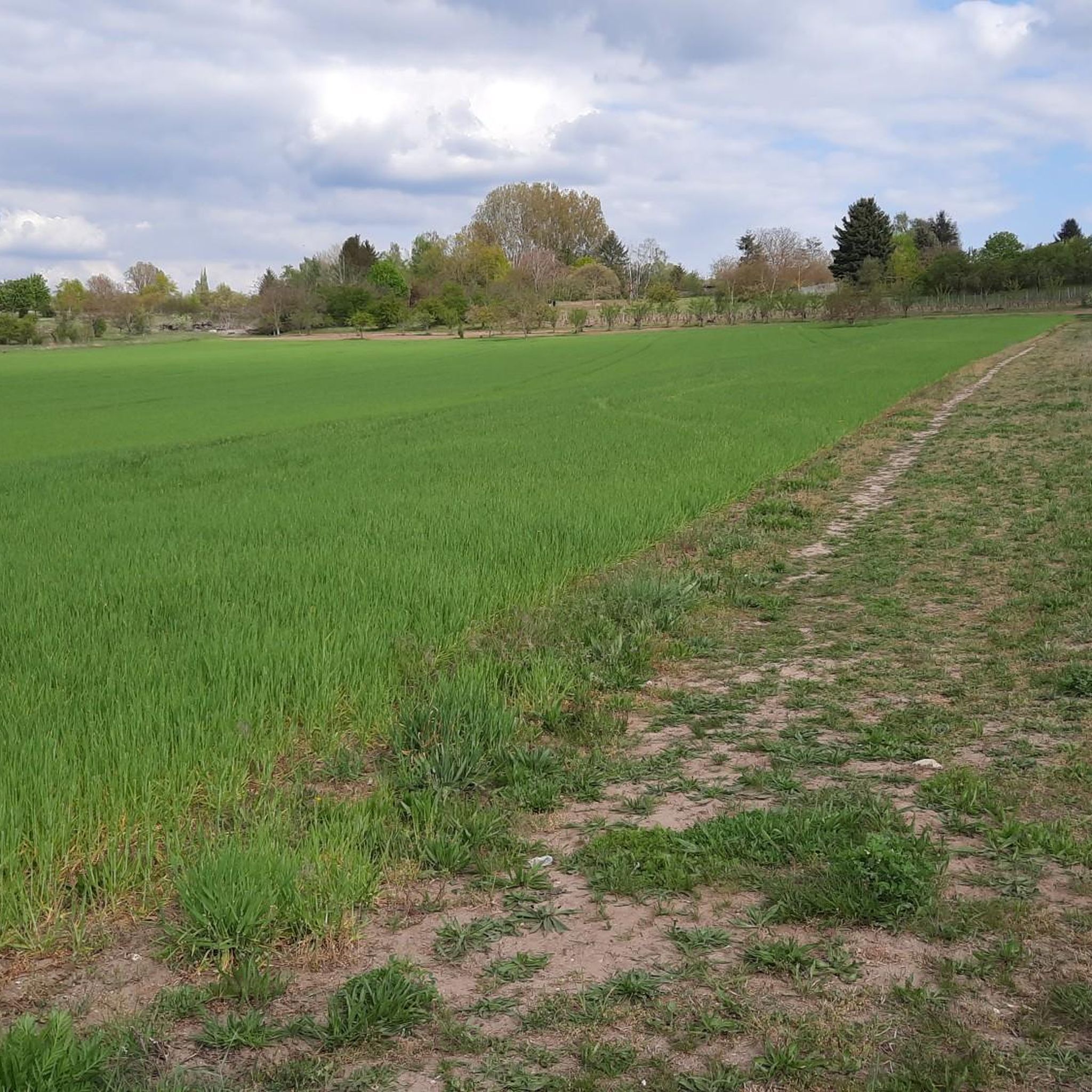
It is a 54 ha area between the municipalities of Undenheim and Hahnheim, which was designated as a nature reserve in 1990. It includes the Selz floodplain with a natural watercourse and large reed beds, sedge fens, wet meadows, and base-moist arable land. More than 40 bird species breed there again, including the little grebe, great reed warbler, marsh harrier, and snipe. As part of the bird protection area, it is subject to NATURA 2000, a network of protected areas that connects FFH habitats across Europe to enable rare animal species to migrate, spread, and exchange genetic material.
0
0

It's always good to know where to find something like that.
0
0

Culture and history.Is interesting for the region and those interested.
0
0


Frequently Asked Questions
What is the general difficulty level of touring cycling routes in Ingelheimer Dünen und Sande?
The region offers a mix of routes. Many paths feature gentle gradients, especially along riverbanks and through agricultural areas. However, some routes include moderate ascents onto higher ground, particularly on the plateaus. Overall, you'll find a good balance of easy and moderate options, with some more challenging routes available.
Are there easy touring cycling routes suitable for beginners or families?
Yes, Ingelheimer Dünen und Sande has numerous easy routes perfect for beginners and families. These often follow the Selz riverbank, providing flat and scenic rides. An example is the Selz Riverbank – Ohrenbrücker Gate loop from Frei-Weinheim, which is 11.1 miles (17.8 km) and considered easy.
Where can I find more challenging touring cycling routes in Ingelheimer Dünen und Sande?
For those seeking a greater challenge, routes that venture onto the agricultural plateaus or cover longer distances with more elevation changes are suitable. The View of Burg Stahleck – Selztal Cycle Path loop from Ingelheim am Rhein is a difficult route spanning over 76 miles (122 km) with significant climbs.
What are the typical lengths and durations of touring cycling routes in this region?
Routes vary significantly in length and duration. You can find shorter rides, such as the Selz Riverbank – Ohrenbrücker Gate loop from Frei-Weinheim at 11.1 miles (17.8 km) taking just over an hour. Longer routes like the Selztal Cycle Route – in the Selztalflow through Rheinhessen extend to over 34 miles (55 km), requiring several hours to complete.
What kind of views and landscapes can I expect on the touring cycling routes?
The routes offer diverse scenery, including the tranquil Selz river valley, expansive agricultural plateaus known for fruit orchards, and unique natural sand dune areas. You'll cycle through open fields, along riverbanks, and past cultivated lands typical of Rheinhessen.
Are there circular touring cycling routes available?
Yes, many touring cycling routes in Ingelheimer Dünen und Sande are designed as loops, allowing you to start and end at the same point. Examples include the The fruit loop – blossom and fruit on the plateau and the Obstroute (Fruit route) – western loop.
What can I see along the touring cycling routes in Ingelheimer Dünen und Sande?
Along the routes, you can discover various points of interest. Keep an eye out for the Selz Bridge, and enjoy cycling along the Fruit tree path between Heidenfahrt and Frei-Weinheim. The region also features sections of the Rhine Cycle Path Fulderaue–Ilmenaue and the Commuter Cycle Route.
What is the best time of year for touring cycling in Ingelheimer Dünen und Sande?
Spring and early autumn are generally ideal. In spring, the fruit orchards are in blossom, offering beautiful scenery. Autumn provides pleasant temperatures and vibrant colors. Summer can also be enjoyable, though it's advisable to cycle earlier in the morning or later in the afternoon to avoid the midday heat.
Are there places to stop for refreshments along the touring cycling routes?
Given the region's agricultural focus, especially on fruit growing, you'll often find opportunities for refreshments in the villages and towns along the routes. Many local establishments offer regional produce and places to rest. It's always a good idea to carry some water and snacks, especially on longer stretches.
What do other touring cyclists enjoy the most about touring cycling in Ingelheimer Dünen und Sande?
The area is highly rated by the komoot community, with an average score of 4.6 stars from over 7,500 reviews. Reviewers often praise the varied terrain, from peaceful riverbanks to scenic agricultural plateaus, and the well-maintained paths that cater to different skill levels.
How many touring cycling routes are available in Ingelheimer Dünen und Sande?
There are over 540 touring cycling routes available in Ingelheimer Dünen und Sande on komoot, offering a wide range of options for different preferences and fitness levels.
Is parking available near the touring cycling routes?
Yes, parking is generally available in the towns and villages that serve as starting points for many routes, such as Ingelheim am Rhein and Frei-Weinheim. Look for designated public parking areas, often near train stations or town centers.
Can I access touring cycling routes in Ingelheimer Dünen und Sande by public transport?
Many towns in the Ingelheimer Dünen und Sande region, including Ingelheim am Rhein, are well-connected by public transport, particularly by train. This allows for easy access to various starting points for cycling routes, and often trains have facilities for transporting bicycles.
Most popular routes in Ingelheimer Dünen und Sande
Most popular attractions in Ingelheimer Dünen und Sande

Get inspired with the komoot mobile app


Explore more
Browse the best Cycling routes in other regions.
