The best MTB trails in Altenburg Bei Trappstadt
4.7
(358)
906
riders
158
rides
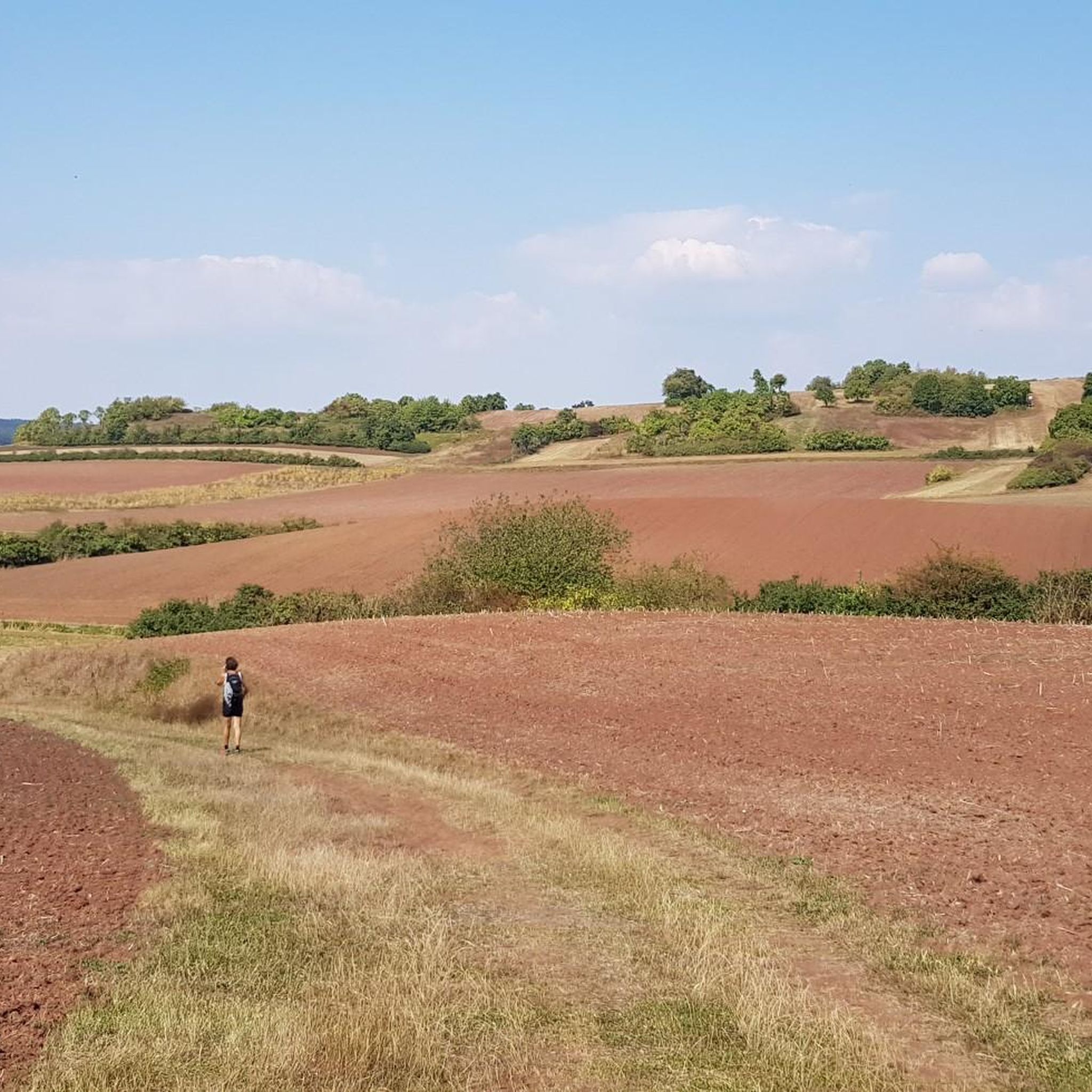
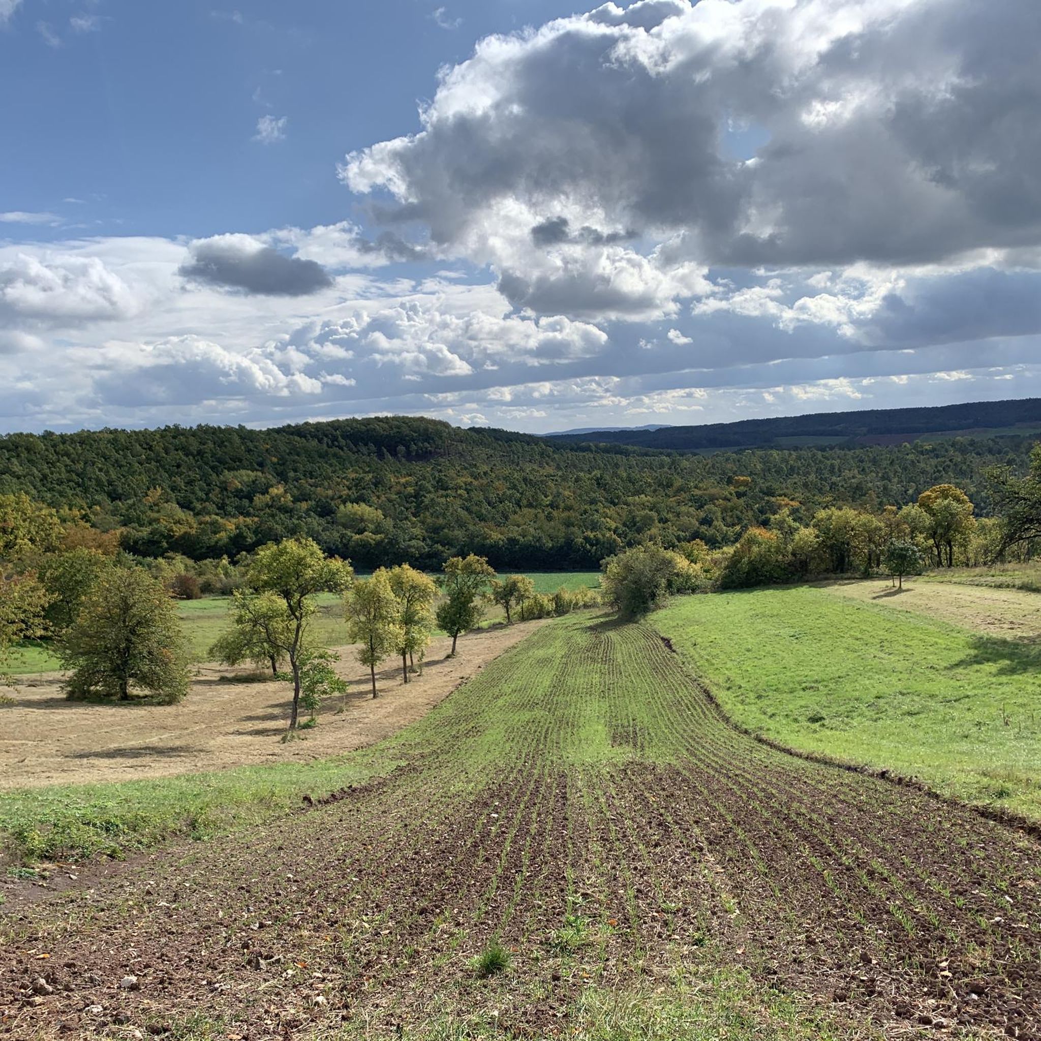
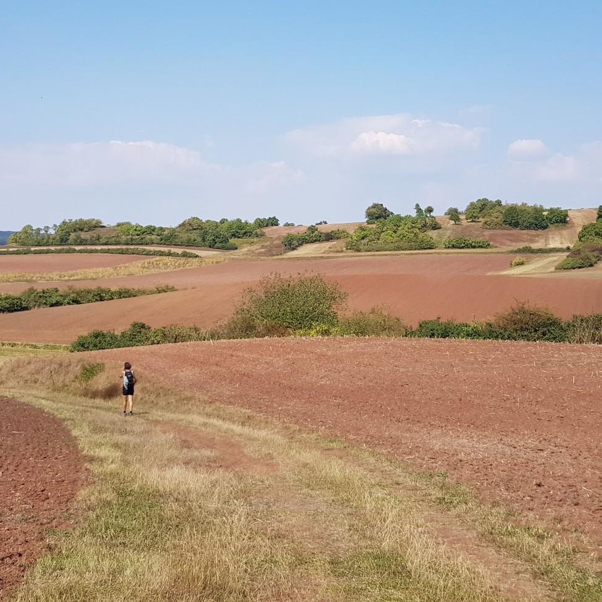
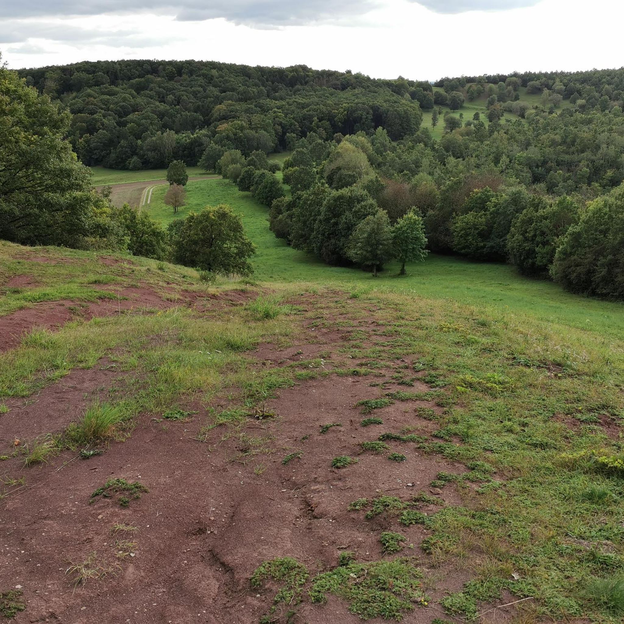
Mountain biking in Altenburg Bei Trappstadt offers routes through a landscape characterized by a nature reserve, including the remains of an early medieval fortified settlement on a mountain spur. This area features steep slopes and varying elevations, rising approximately 330 feet (100 meters) above the western plain. The region borders Thuringia and is adjacent to other nature reserves, providing a diverse natural setting for outdoor activities. The terrain includes natural features and landscapes conducive to mountain biking, with routes that…
Last updated: July 10, 2026
3.0
(1)
9
riders
84.8km
06:52
1,160m
1,160m
Hard mountain bike ride. Very good fitness required. Advanced riding skills necessary.
4.8
(8)
4
riders
Moderate mountain bike ride. Good fitness required. Advanced riding skills necessary.

Sign up for free
4
riders
Moderate mountain bike ride. Good fitness required. Advanced riding skills necessary.
5.0
(1)
2
riders
33.0km
01:54
180m
180m
Moderate mountain bike ride. Great for any fitness level. Advanced riding skills necessary.
6
riders
Moderate mountain bike ride. Good fitness required. Advanced riding skills necessary.
Get access to more routes and recommendations from other explorers.
Sign up for free
Already have an account?
Our route recommendations are based on thousands of hikes, rides, and runs completed by other people on komoot.
Start today with a free account
Your next adventure awaits.
Login or Signup

Tips from the Community

Of the 1400km of inner-German border, unfortunately only a few places like this remain! How do you want to teach children history when you destroy everything! Much more of it should have been preserved, in the common capital, investment was rather made in buildings. As a child, I remember this threatening border and I just find it sad what's left of it. This way, it's hard for me to convey history to my little pirate daughter. You have to touch, see, and understand things on site. If there's a flashy building there today, what do I want to tell my pirate daughter with that?
0
0
Of the 1400km of the inner-German border, unfortunately only a few places like this remain! How do you want to teach children history if you destroy everything! Much more of it should have been left standing, but in the united capital, investment was rather made in buildings. I remember this threatening border as a child and I find it simply sad what is left of it. This way, it's hard to convey history to my little adventurous daughter. You have to touch, see and understand on site. If a pompous building stands there today, what do I want to tell my adventurous daughter with that?
0
0

There are beautiful hiking trails here that also commemorate the former border.
0
0

The road is nice to drive on.
1
0

Coming from Haubinda, you have a direct view of Gleichberg—what more could you want? Linden is also directly in front of you.
9
0

The air in the pavilion has a salt content of about 25%, which moisturizes and positively influences the respiratory tract. I found it pleasant 😊
2
0
A beautiful historic market square, well-preserved and restored half-timbered houses, a few cafes and ice cream parlors invite you to sit outside in the summer.
2
0
Frequently Asked Questions
How many mountain bike trails are available in Altenburg Bei Trappstadt?
There are over 160 mountain bike trails in Altenburg Bei Trappstadt, offering a wide range of options for different skill levels. This includes 29 easy routes, 129 moderate routes, and 4 difficult routes.
What is the general terrain like for mountain biking in Altenburg Bei Trappstadt?
The terrain in Altenburg Bei Trappstadt is characterized by a nature reserve with varying elevations, including a mountain spur that rises approximately 100 meters above the western plain. You'll encounter steep slopes, natural features, and landscapes near the source of the Fränkische Saale river, providing a diverse and engaging riding experience.
Are there any circular mountain bike routes in Altenburg Bei Trappstadt?
Yes, many of the mountain bike routes in Altenburg Bei Trappstadt are designed as loops. For example, you can explore the Grenzgänger Trail Border Point – Gompertshausen Border Monument loop from Linden, which is a moderate 38.2 km path, or the Market Square, Bad Königshofen – Gatehouse Trappstadt loop from Alsleben, a 33.5 km trail.
What natural features or landmarks can I see while mountain biking in Altenburg Bei Trappstadt?
You can encounter several interesting natural features and landmarks. The region is home to the remains of an early medieval fortified settlement, the Abschnittsbefestigung Altenburg, on a mountain spur. You might also find viewpoints like the View from Spanshügel or the Picnic Area with View of the Gleichberge. The area also borders the Schlechtsarter Schweiz nature reserve.
Are there any historical sites accessible by mountain bike in the area?
Yes, the region has historical significance. The nature reserve itself encompasses the remains of the early medieval fortified settlement known as Abschnittsbefestigung Altenburg. You can also find the Grenzgänger Trail Border Point, which offers insights into the border region's history.
What do other mountain bikers say about the trails in Altenburg Bei Trappstadt?
The mountain bike trails in Altenburg Bei Trappstadt are highly rated by the komoot community, with an average score of 4.7 stars from over 340 reviews. More than 900 mountain bikers have used komoot to explore the varied terrain, often praising the diverse landscapes and the mix of natural and historical elements.
When is the best time of year to go mountain biking in Altenburg Bei Trappstadt?
Generally, spring through autumn offers the most favorable conditions for mountain biking in Altenburg Bei Trappstadt, with milder weather and less chance of snow or ice. The varied terrain and natural beauty are particularly enjoyable during these seasons.
Are there any easy mountain bike trails suitable for beginners in Altenburg Bei Trappstadt?
Yes, there are 29 easy mountain bike routes available in Altenburg Bei Trappstadt, perfect for beginners or those looking for a more relaxed ride. These trails allow you to enjoy the scenic landscape without overly challenging climbs or technical sections.
Can I find longer, more challenging mountain bike routes in Altenburg Bei Trappstadt?
For experienced riders seeking a challenge, there are several difficult routes. The Downhill Trail to Birnfeld – Jägerpfad Schwedenschanze loop from Trappstadt is a notable example, covering 84.8 km with significant elevation changes, taking around 6 hours 51 minutes to complete.
Are there any viewpoints along the mountain bike trails in Altenburg Bei Trappstadt?
Yes, the area offers several scenic viewpoints. You can find the View from Spanshügel, the Selfie Point Grenzgängerweg Trappstadt, and the View over the Grabfeld from Bürchla, all providing excellent panoramas of the surrounding landscape.
What is the average distance of mountain bike trails in Altenburg Bei Trappstadt?
The mountain bike trails in Altenburg Bei Trappstadt vary significantly in distance. While some routes are shorter, many popular trails are moderate to long. For instance, the Milz Gatehouse – Rest area on the Keltenradweg loop from Linden is 28.8 km, and the Market Square, Bad Königshofen – Berghäuschen Viewpoint loop from Trappstadt is 32.9 km.
Most popular routes in Altenburg Bei Trappstadt
Most popular attractions in Altenburg Bei Trappstadt

Get inspired with the komoot mobile app


Explore more
Browse the best MTB trails in other regions.
