Attractions and Places To See in Geißleraue Und Aurachwiesen Bei Ostheim - Top 5
Best attractions and places to see in Geißleraue Und Aurachwiesen Bei Ostheim are centered around the natural beauty of the Rhön region and the historic town of Ostheim vor der Rhön. This area offers a blend of historical landmarks, cultural sites, and diverse natural landscapes. The Geißleraue Und Aurachwiesen Bei Ostheim nature reserve itself contributes to the broader natural appeal, providing opportunities for outdoor activities. Visitors can explore well-preserved historical architecture and scenic routes.
Best attractions and places to see in Geißleraue Und Aurachwiesen Bei Ostheim
- The most popular attractions is Village square in Ostheim with the town hall, a religious building and historical site. The district dates back to 1231 and features an ensemble of church and half-timbered houses in the town center. St. Nicholas Church, with its distinctive Welschen Haube, was built in 1725.
- Another must-see spot is Kurt Bethmann Platz, a facility offering a rest area along a cycling path. This spot is named after a local figure recognized for his community involvement.
- Visitors also love Former Town Hall with Coat of Arms (Ostheim, Hofheim in Unterfranken), a historical site. Built in 1741, this protected monument features a half-timbered upper floor with decorative figures and a coat of arms.
- Geißleraue Und Aurachwiesen Bei Ostheim is known for historical sites, natural viewpoints, and cycling routes. The region offers a variety of attractions to see and explore, from historical architecture to scenic natural spots.
- The attractions in Geißleraue Und Aurachwiesen Bei Ostheim are appreciated by the komoot community, with 5 highlights and 16 photos shared. These spots have received 67 upvotes from visitors.
Last updated: August 29, 2026
Hofheim–Königsberg Cycle Path
Highlight (Segment) • Cycleway
Source: de.m.wikipedia.org/wiki/Bahnstrecke_Ha%C3%9Ffurt%E2%80%93Hofheim
Translated by Google •
Tip by

Village square in Ostheim with the town hall
Highlight • Religious Site
St. Nicholas Church with a so-called Welschen Haube was built in 1725, and a chapel dedicated to Our Lady of Sorrows was built in 1675 on the road to Rügheim.
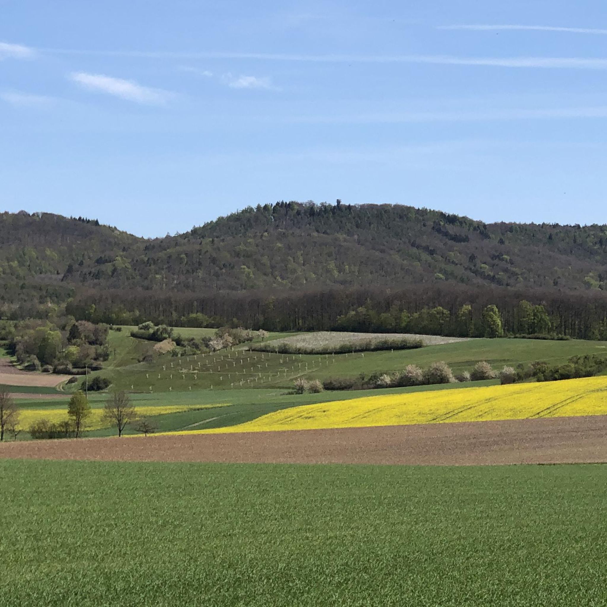
Towards Königsberg, a basalt cone protrudes from the flat foothills of the Haßberge on the left - evidence of prehistoric volcanic activity.
stadt-hofheim.de/ostheim
Translated by Google •
Tip by

Sign up now to discover places like this
Get recommendations on the best single tracks, peaks, & plenty of other exciting outdoor places.
Sign up for free
Kurt Bethmann Platz
Highlight • Rest Area
Translated by Google •
Tip by
Former Town Hall with Coat of Arms (Ostheim, Hofheim in Unterfranken)
Highlight • Historical Site
The former town hall at Marktstrasse 5, next to the local Catholic church of St. Nicholas, is a protected monument.
The two-story, gable-independent gable roof building has a half-timbered upper floor. The half-timbered gable is decorated with figures of men, St. Andrew's crosses, some designed as andirons, and other decorative half-timbered figures. On the back of the building there is a coat of arms with building inscription. Wikipedia
Translated by Google •
Tip by

Cycle route signpost
Highlight • Structure
Translated by Google •
Tip by
Sign up for free to discover even more attractions in Geißleraue Und Aurachwiesen Bei Ostheim.
Sign up for free
Already have an account?
Start today with a free account
Your next adventure awaits.
Login or Signup
Popular around Geißleraue Und Aurachwiesen Bei Ostheim
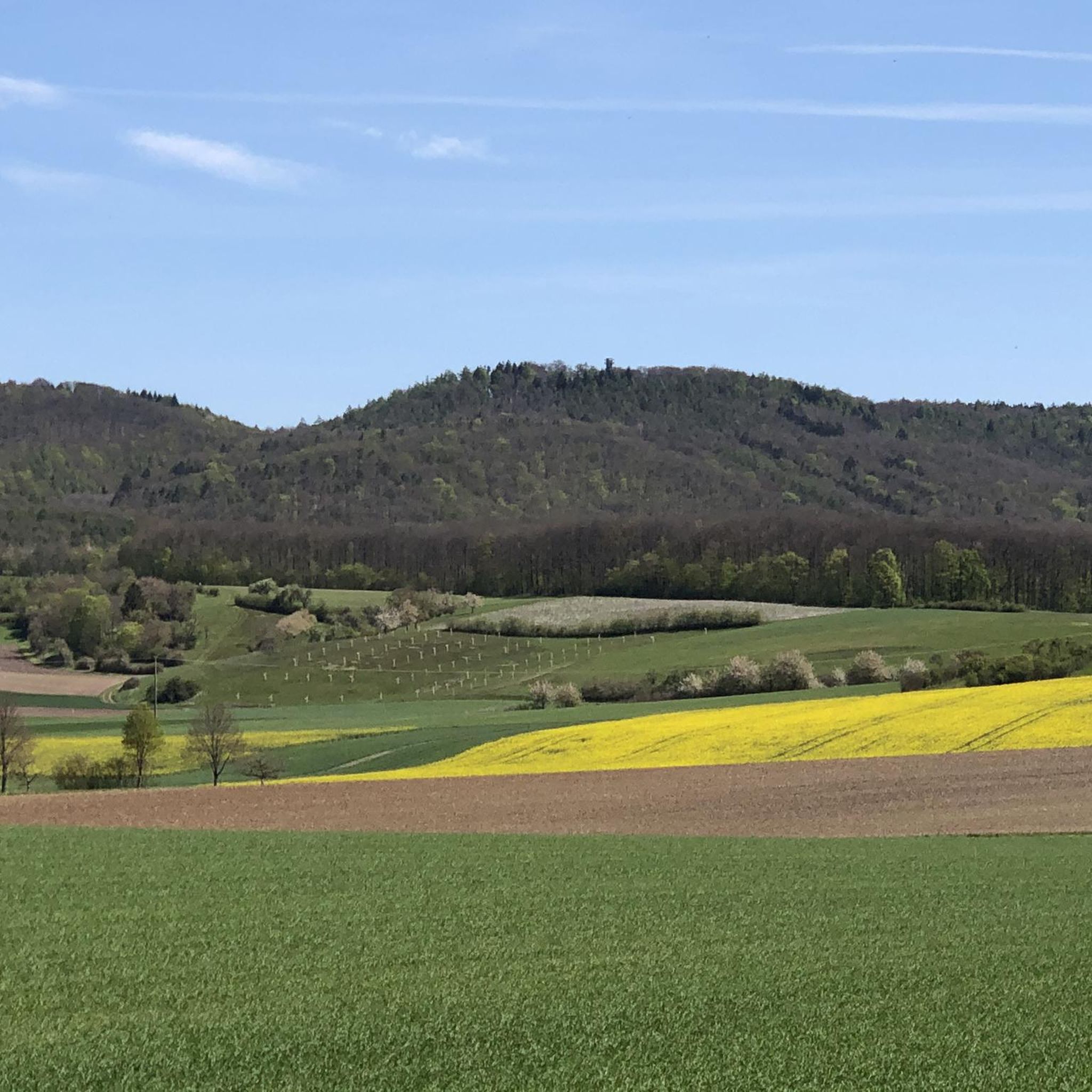
Cycling in Geißleraue Und Aurachwiesen Bei Ostheim
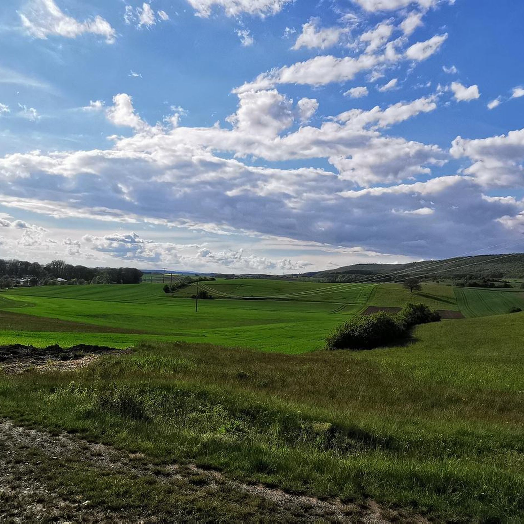
Hiking in Geißleraue Und Aurachwiesen Bei Ostheim
MTB Trails in Geißleraue Und Aurachwiesen Bei Ostheim
Road Cycling Routes in Geißleraue Und Aurachwiesen Bei Ostheim

Gravel biking in Geißleraue Und Aurachwiesen Bei Ostheim
Running Trails in Geißleraue Und Aurachwiesen Bei Ostheim
Tips from the Community

Cycle route signs are located at intersections and indicate the direction and distance to your destination. These signs are further enhanced with small pictograms of themed routes. Good to know where to go when you don't have navigation.
14
0
Freight traffic was discontinued on September 24, 1994, and passenger train service on July 31, 1995. Following approval by the Federal Railway Authority on September 19, 1995,[3] the line was closed on December 1, 1995. Dismantling was completed in January 1997.[2] The former station building in Hofheim has housed a small railway museum[4] on the history of the line and the railway in general since 1976. Source: https://de.m.wikipedia.org/wiki/Bahnstrecke_Ha%C3%9Ffurt%E2%80%93Hofheim
13
0
On August 1, 1852, the railway reached Haßfurt with the Ludwigs-West-Bahn (Ludwigs-West Railway). It wasn't until forty years later, on March 15, 1892, that the Royal Bavarian State Railways opened the secondary line to Hofheim.[2] The basis for this was a treaty between the Kingdom of Bavaria and the Duchy of Saxe-Coburg and Gotha, which ensured co-financing by the Saxon enclave of Königsberg and a corresponding route. Therefore, the line was not built directly from Haßfurt to Hofheim along the Nassach River, but a detour via Königsberg with a more complex route was chosen.[2] In 1965, the Haßfurt Gymnasium stop was built with a new school center, which ensured high passenger numbers for a long time. Source: https://de.m.wikipedia.org/wiki/Bahnstrecke_Ha%C3%9Ffurt%E2%80%93Hofheim
13
0
The Haßfurt–Hofheim railway line was a single-track, 15.49-kilometer-long branch line from Haßfurt to Hofheim in Lower Franconia. It was also known locally as the "Hofheimerle" (Hofheimerle). The line was closed in 1995 and partially converted into a railway cycle path, part of the Haßfurt–Meiningen cycle path. Source: https://de.m.wikipedia.org/wiki/Bahnstrecke_Ha%C3%9Ffurt%E2%80%93Hofheim
13
0
Further information is available here: https://www.bahntrassenradwege.de/index.php?page=Radweg+Hofheimerle
11
0
Details about the Hofheimerle Cycle Route: Name: Hofheimerle Cycle Route (BY 1.03) Length: Approx. 17.5 km, of which about 12 km are on the former railway line Route: From Haßfurt via Königsberg to Hofheim (in Lower Franconia) Characteristics: Asphalted railway line cycle path Largely traffic-free Hardly any inclines, very easy to ride Part of the Main-Haßfurt Cycle Route Sights: Historic half-timbered houses and monuments in the three towns Opportunities for refreshments The Lehmanns Railway Museum in Hofheim is at the end of the route Cycling tour tip: The cycle path is an excellent option for a relaxing tour with beautiful views of the countryside and historic sites. A detour in Königsberg is necessary before continuing on the route.
11
0
The cycle path between Königsberg and Hofheim is the Hofheimerle cycle path (BY 1.03), which runs through the valley of the same name. It is part of the wider Main-Haßfurt cycle path (MH cycle path) and runs primarily along the former route of the "Hofheimerle" railway line. The paved, traffic-free, and gently sloping path offers an easy tour for all fitness levels and connects the Lower Franconian towns of Hofheim, Hassfurt, and Königsberg.
11
0

Very nice rest area directly on the cycle path 👍
0
0
Frequently Asked Questions
What historical sites can I explore in Ostheim vor der Rhön?
Ostheim vor der Rhön is rich in history. You can visit the Village square in Ostheim with the town hall, which dates back to 1231 and features a beautiful ensemble of a church and half-timbered houses. Don't miss the Former Town Hall with Coat of Arms, a protected monument built in 1741 with decorative half-timbered figures. The town is also home to Germany's largest Fortress Church and the historic Lichtenburg Castle.
Are there any natural attractions or viewpoints near Geißleraue Und Aurachwiesen Bei Ostheim?
Yes, the surrounding Rhön region offers diverse natural beauty. You can explore the unique landscapes of the Rote Moor and Schwarze Moor, both nature reserves with boardwalks for easy access. For panoramic views, consider visiting the Wasserkuppe, the highest mountain in the Rhön. The Abt-Degen-Steig and 50th Parallel in Ziegelanger Vineyards also offers scenic views.
What outdoor activities are available in the Geißleraue Und Aurachwiesen Bei Ostheim area?
The region is excellent for outdoor enthusiasts. You can find extensive hiking and cycling paths throughout the Rhön. For hiking, explore routes like the 'Mount of Olives Group Stone Statues – Ostheimer Hügel Viewpoint loop' or 'Old Town of Königsberg in Bavaria – Königsberg Castle in Bavaria loop'. Find more options in our Hiking in Geißleraue Und Aurachwiesen Bei Ostheim guide. Cyclists can enjoy routes such as 'Rügheim Town Hall – View of Junkersdorf loop' or 'Birkenfeld Castle – Hartleb Brewery Inn loop', detailed in our Cycling in Geißleraue Und Aurachwiesen Bei Ostheim guide.
Are there family-friendly activities or attractions in the area?
Absolutely! Many attractions are suitable for families. The Village square in Ostheim with the town hall is a pleasant area to explore. The Kurt Bethmann Platz offers a convenient rest area along a cycling path, which is also wheelchair accessible. The Bohlenweg through the Rote Moor is stroller and wheelchair accessible, making it great for all ages. The Wasserkuppe also features a climbing park and summer toboggan run, popular with children.
What is the best time of year to visit Geißleraue Und Aurachwiesen Bei Ostheim?
The best time to visit largely depends on your preferred activities. Spring and summer are ideal for hiking, cycling, and enjoying the natural beauty of the Rhön, with lush landscapes and pleasant weather. Autumn offers beautiful foliage, while winter can be charming for snow-related activities, especially around the Wasserkuppe, though some paths might be less accessible.
Where can I find easy walking paths or trails suitable for beginners?
For easy walks, consider the Bohlenweg through the Rote Moor, which is flat and accessible. In our Easy hikes in Geißleraue Und Aurachwiesen Bei Ostheim guide, you'll find routes like the 'Rügheim Town Hall – Stone bench and cross at the tree loop' or 'Ostheimer Hill – Ostheimer Hügel Viewpoint loop', which are generally considered easy.
Are there any cultural points of interest besides historical buildings?
Beyond the historical architecture, Ostheim offers cultural insights such as the Organ Museum (Orgelbaumuseum) in the town center, showcasing historical organs and their construction. The region is also known for the Rhöner Wurstmarkt, a popular regional sausage market. During summer, you can experience a historical steam train ride, the 'Rhönzügle', to the Open-Air Museum in Fladungen.
Is the area around Geißleraue Und Aurachwiesen Bei Ostheim dog-friendly?
Generally, the natural areas and trails in the Rhön region are dog-friendly, but it's always advisable to keep dogs on a leash, especially in nature reserves like the Rote Moor and Schwarze Moor, to protect wildlife and plants. Always carry waste bags and ensure your dog is well-behaved around other visitors and animals.
What are some unique local experiences or products from Ostheim vor der Rhön?
Ostheim vor der Rhön is notable as the home of Bionade, a popular organic soft drink, and has been recognized as a 'Genussort' (place of culinary delight). You can also experience the local culinary traditions at the Rhöner Wurstmarkt. The Abt-Degen-Steig and 50th Parallel in Ziegelanger Vineyards highlight offers a chance to enjoy local ice cream and visit a butcher's shop nearby.
How can I navigate the cycling routes in the area?
The region is well-equipped for cyclists. You'll find clear Cycle route signposts at intersections, indicating directions and distances, often enhanced with pictograms for themed routes. These signs are very helpful for navigating without constant reliance on digital navigation.
What do visitors enjoy most about the attractions in Geißleraue Und Aurachwiesen Bei Ostheim?
Visitors particularly appreciate the blend of historical charm and natural beauty. The well-preserved half-timbered houses and the Fortress Church in Ostheim offer a glimpse into the past. Many enjoy the peaceful rest areas along cycling paths, like Kurt Bethmann Platz, and the scenic views from trails such as the Abt-Degen-Steig. The clear signage for outdoor activities is also highly valued.
Are there any facilities or amenities available along the trails?
Yes, some trails and highlights offer facilities. For instance, the Abt-Degen-Steig and 50th Parallel in Ziegelanger Vineyards is conveniently located near an ice cream parlor and a butcher's shop, providing a super cozy place to take a break. The Kurt Bethmann Platz is specifically designed as a rest area along a cycling path.
Most popular routes in Geißleraue Und Aurachwiesen Bei Ostheim

Get inspired with the komoot mobile app


Explore more
Still not found the Highlight you’re looking for? See guides of the top attractions in other regions:
