The best gravel rides in Geißleraue Und Aurachwiesen Bei Ostheim
4.6
(14)
121
riders
21
rides
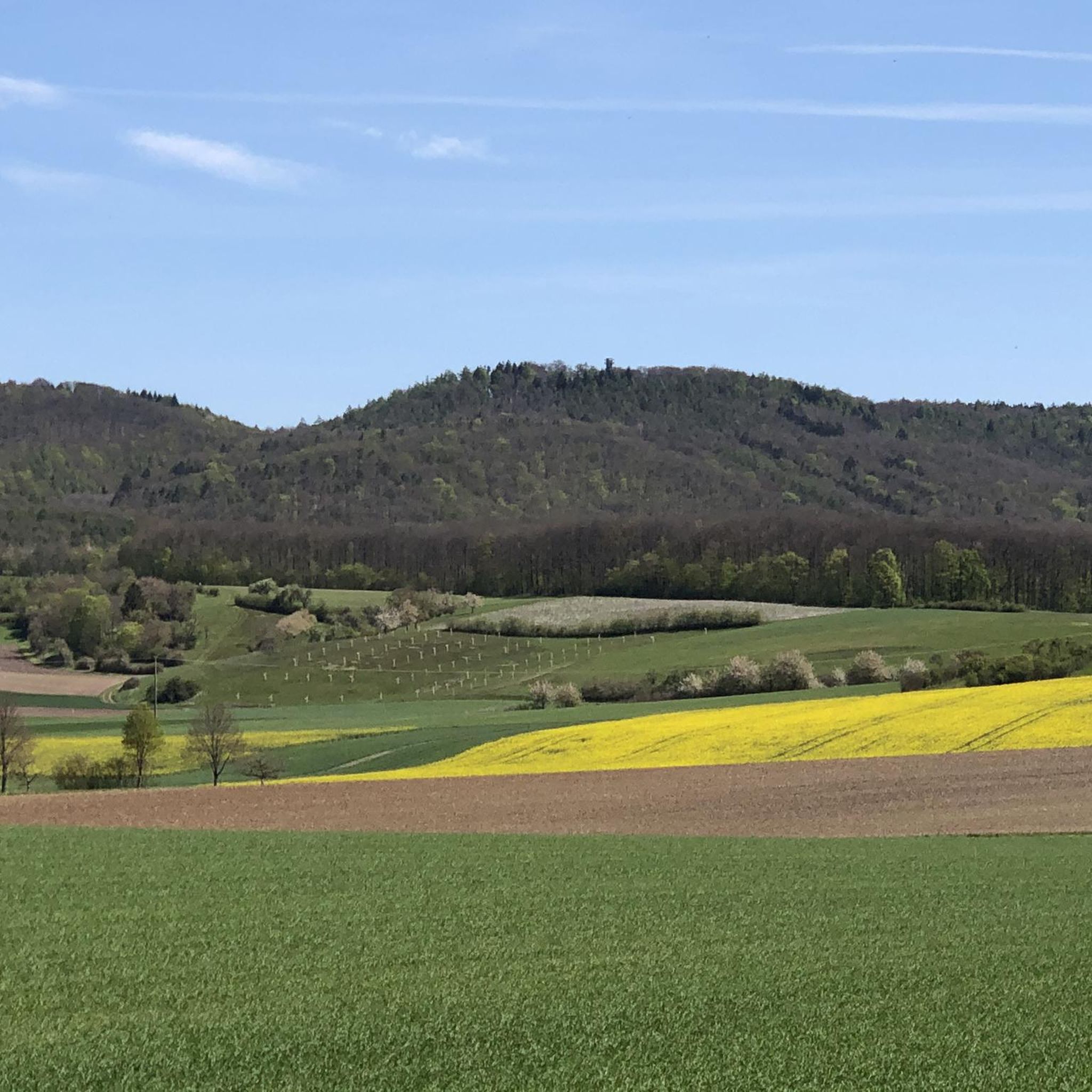
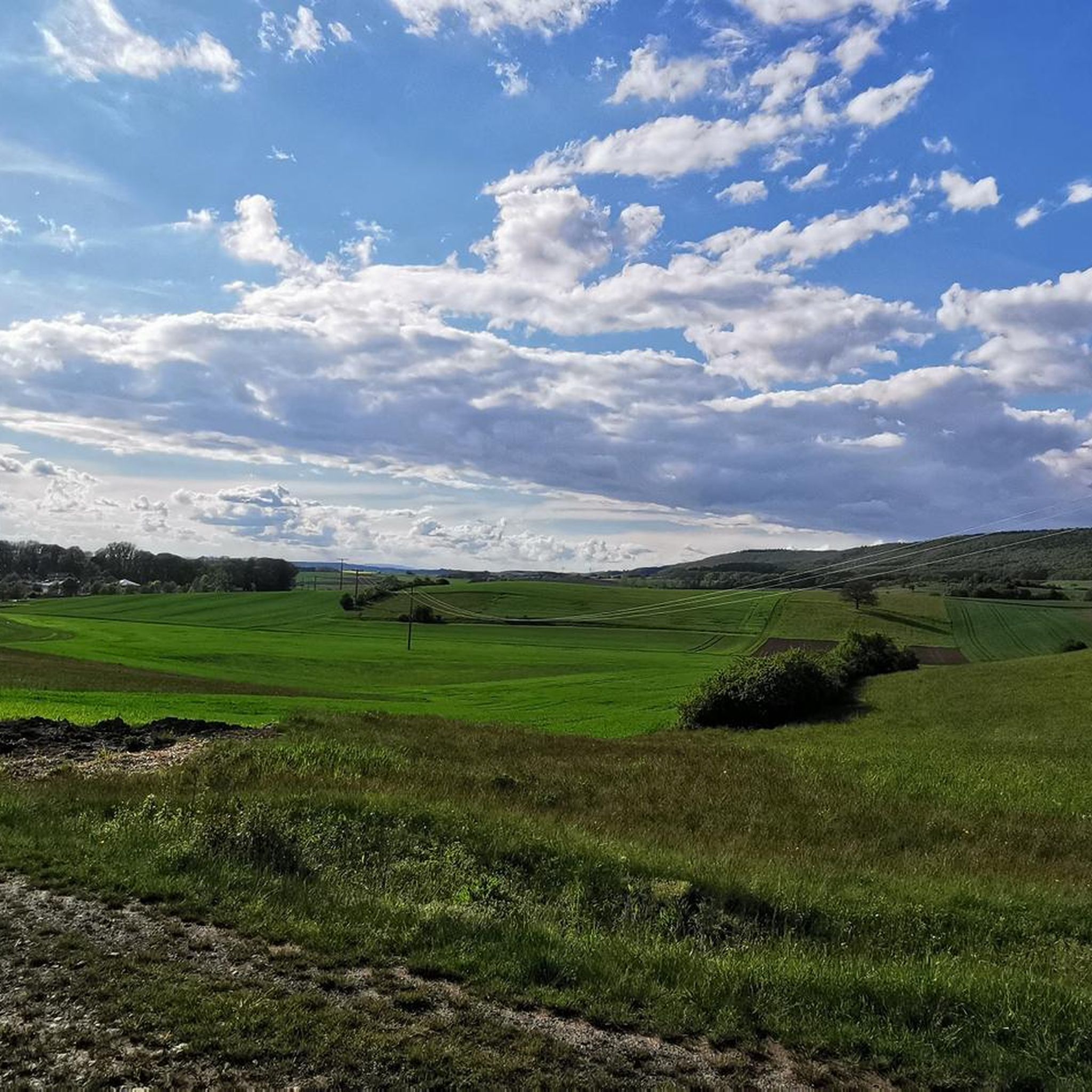
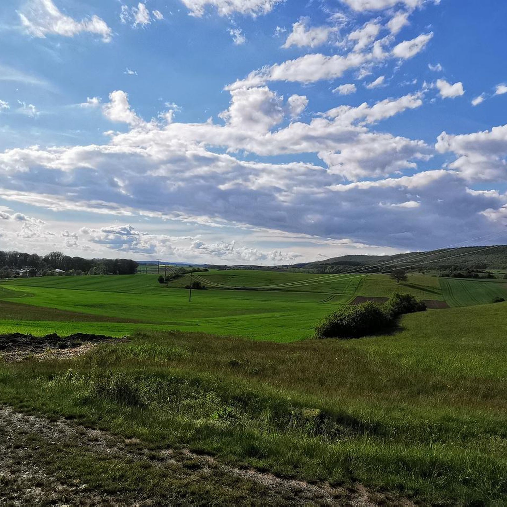
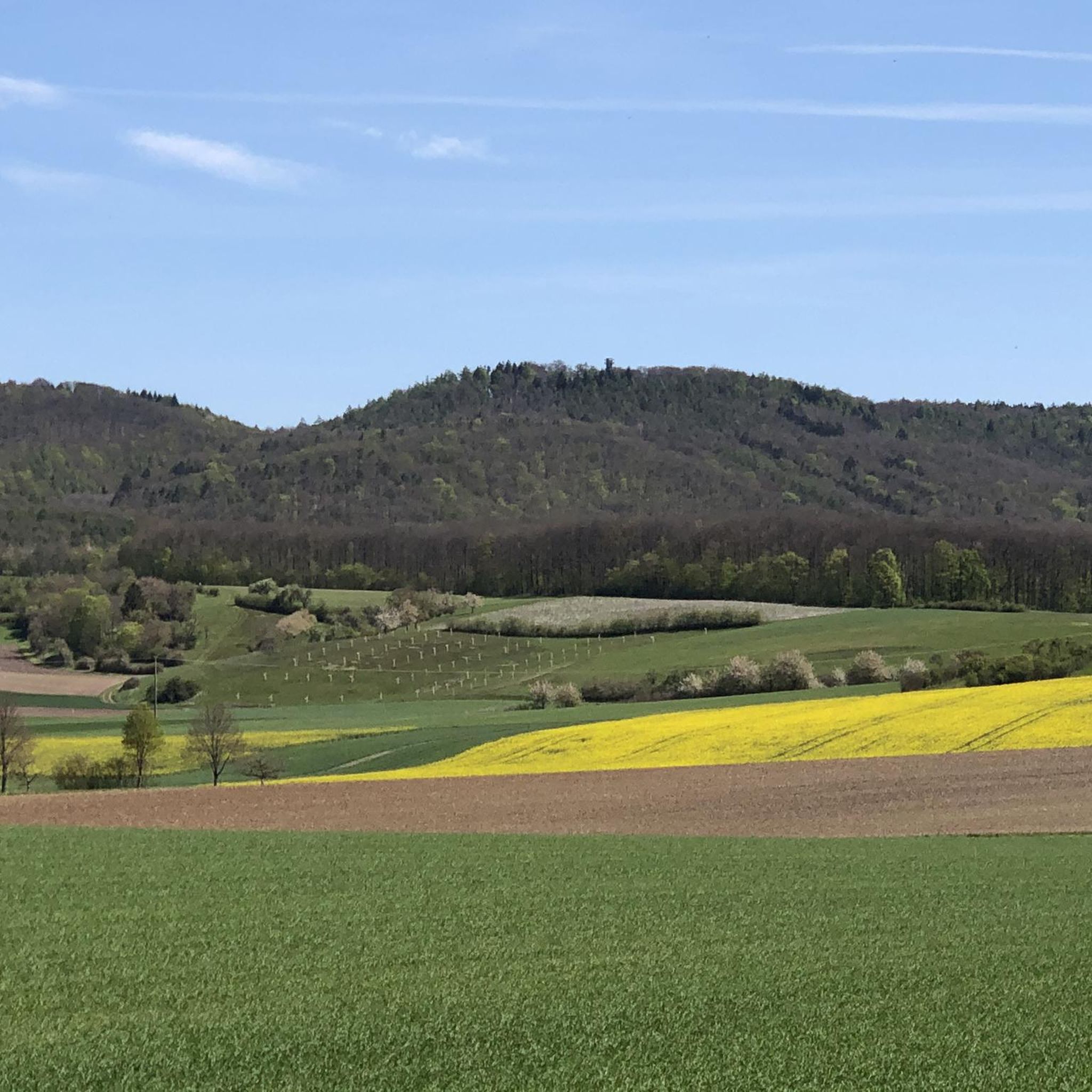
Gravel biking in Geißleraue Und Aurachwiesen Bei Ostheim offers routes through river meadows and agricultural landscapes. The region is characterized by open fields, gentle rolling terrain, and paths along waterways, providing varied surfaces for gravel cyclists. These routes often connect small villages and offer views of the surrounding countryside, making them suitable for exploring the natural environment.
Best gravel bike trails in Geißleraue Und Aurachwiesen Bei Ostheim
- The most popular gravel bike trail is Rotenhan Castle Ruins – Altenstein Castle…
Last updated: July 3, 2026
10
riders
69.1km
04:40
1,080m
1,080m
Hard gravel ride. Very good fitness required. Mostly paved surfaces. Suitable for all skill levels.
5.0
(2)
16
riders
Hard gravel ride. Very good fitness required. Mostly paved surfaces. Suitable for all skill levels.

Sign up for free
19
riders
53.7km
03:28
660m
660m
Hard gravel ride. Very good fitness required. Mostly paved surfaces. Suitable for all skill levels.
5.0
(3)
16
riders
Hard gravel ride. Very good fitness required. Mostly paved surfaces. Suitable for all skill levels.
5.0
(1)
8
riders
Hard gravel ride. Good fitness required. You may need to push your bike for some segments of this route.
Get access to more routes and recommendations from other explorers.
Sign up for free
Already have an account?
Our route recommendations are based on thousands of hikes, rides, and runs completed by other people on komoot.
Start today with a free account
Your next adventure awaits.
Login or Signup
Popular around Geißleraue Und Aurachwiesen Bei Ostheim
Tips from the Community

The Weisachtal-Radweg (often called Weisach-Radweg) is a family-friendly route in the Haßbergen region that connects Maroldsweisach with Ebern. A special highlight is the use of former railway lines, which makes the route very flat and relaxed. You cycle through the idyllic Weisachtal in the Haßberge Nature Park, characterized by meadows and gentle hills.
2
0

Parking lot with seven intersections
1
0

A bit narrow in places, but the surface is good. There are often beautiful views over the river.
9
0

The ruins have a very special character due to their construction – you can still really feel the connection between nature and medieval architecture.
5
0

A beautiful path leads all the way around Lower Franconia's largest lake. The lake is a great place for a break. You can grab a snack at the kiosk and, if the weather's nice, sit on the sandy beach.
0
0

The old town of Königsberg impresses with its wonderful half-timbered houses.
12
0
A journey into history with lots of information on the panels.
11
0
Frequently Asked Questions
How many gravel bike trails are there in Geißleraue Und Aurachwiesen Bei Ostheim?
The region offers a diverse network of over 25 gravel bike trails. These routes vary in length and difficulty, providing options for different skill levels.
What kind of terrain can I expect on gravel bike trails in Geißleraue Und Aurachwiesen Bei Ostheim?
Gravel biking in Geißleraue Und Aurachwiesen Bei Ostheim features routes through river meadows and agricultural landscapes. You'll encounter open fields, gentle rolling terrain, and paths along waterways, offering varied surfaces suitable for gravel cycling.
Are there easy or beginner-friendly gravel bike trails in the region?
While many routes are classified as moderate to difficult, the gentle rolling terrain and paths along waterways can offer sections suitable for beginners. It's recommended to check individual route profiles for specific difficulty ratings and elevation gains. Currently, there are no routes specifically classified as 'easy' in our database for this region.
Can I find circular gravel bike routes in Geißleraue Und Aurachwiesen Bei Ostheim?
Yes, many of the gravel bike routes in the region are designed as loops. For example, the challenging Rennweg Trail – Weisach Cycle Path loop from Hofheim in Unterfranken takes you through river valleys and along cycle paths.
What are some scenic highlights or attractions along the gravel bike trails?
Along the trails, you can discover various points of interest. Notable highlights include the Former Town Hall with Coat of Arms (Ostheim, Hofheim in Unterfranken) and the Village square in Ostheim with the town hall. You might also pass by the Abt-Degen-Steig and 50th Parallel in Ziegelanger Vineyards.
Is there parking available near the gravel bike trails?
Yes, parking is generally available in and around the starting points of many routes, particularly in villages like Hofheim in Unterfranken. Specific parking details are often provided in the route descriptions on komoot.
What is the best time of year for gravel biking in Geißleraue Und Aurachwiesen Bei Ostheim?
The region is enjoyable for gravel biking from spring through autumn. The open fields and river meadows are particularly beautiful in spring with blooming flora and in autumn with changing leaf colors. Summer offers longer daylight hours, but be prepared for potential heat. Winter riding is possible, but some paths might be muddy or icy.
Are there options for advanced gravel bikers looking for a challenge?
Absolutely. The region offers 17 difficult gravel bike routes. A challenging option is the Rotenhan Castle Ruins – Altenstein Castle Ruins loop from Hofheim in Unterfranken, which covers 69.2 km with over 1000 meters of elevation gain, connecting historical castle ruins.
What do other gravel bikers say about the trails in Geißleraue Und Aurachwiesen Bei Ostheim?
The gravel bike routes in Geißleraue Und Aurachwiesen Bei Ostheim are highly rated by the komoot community, with an average score of 4.7 stars from over 10 reviews. Riders often praise the varied terrain, scenic views of lakes, and the connection to historical sites.
Are there any long-distance gravel bike routes available?
Yes, several routes offer significant distances. For instance, the Bramberg Castle Ruins – Königsberg Castle in Bavaria loop from Hofheim in Unterfranken is a challenging 66.9 km route, and the Königsberg–Hofheim Cycle Path – St. Mary's Church Königsberg loop from Hofheim in Unterfranken covers 44.8 km.
Can I find cafes or places to stop for refreshments near the gravel bike trails?
The routes often connect small villages, which typically offer opportunities for refreshments. While specific cafes are not listed in the route data, you can expect to find local eateries or bakeries in towns like Hofheim in Unterfranken or Ostheim along your ride.
Most popular routes in Geißleraue Und Aurachwiesen Bei Ostheim
Most popular attractions in Geißleraue Und Aurachwiesen Bei Ostheim

Get inspired with the komoot mobile app


Explore more
Browse the best Gravel rides in other regions.
