Tal- Und Hangbereiche Der Wupper Mit Seitenbächen
Tal- Und Hangbereiche Der Wupper Mit Seitenbächen
The best running trails in Tal- Und Hangbereiche Der Wupper Mit Seitenbächen
4.7
(84)
1,020
runners
25
runs
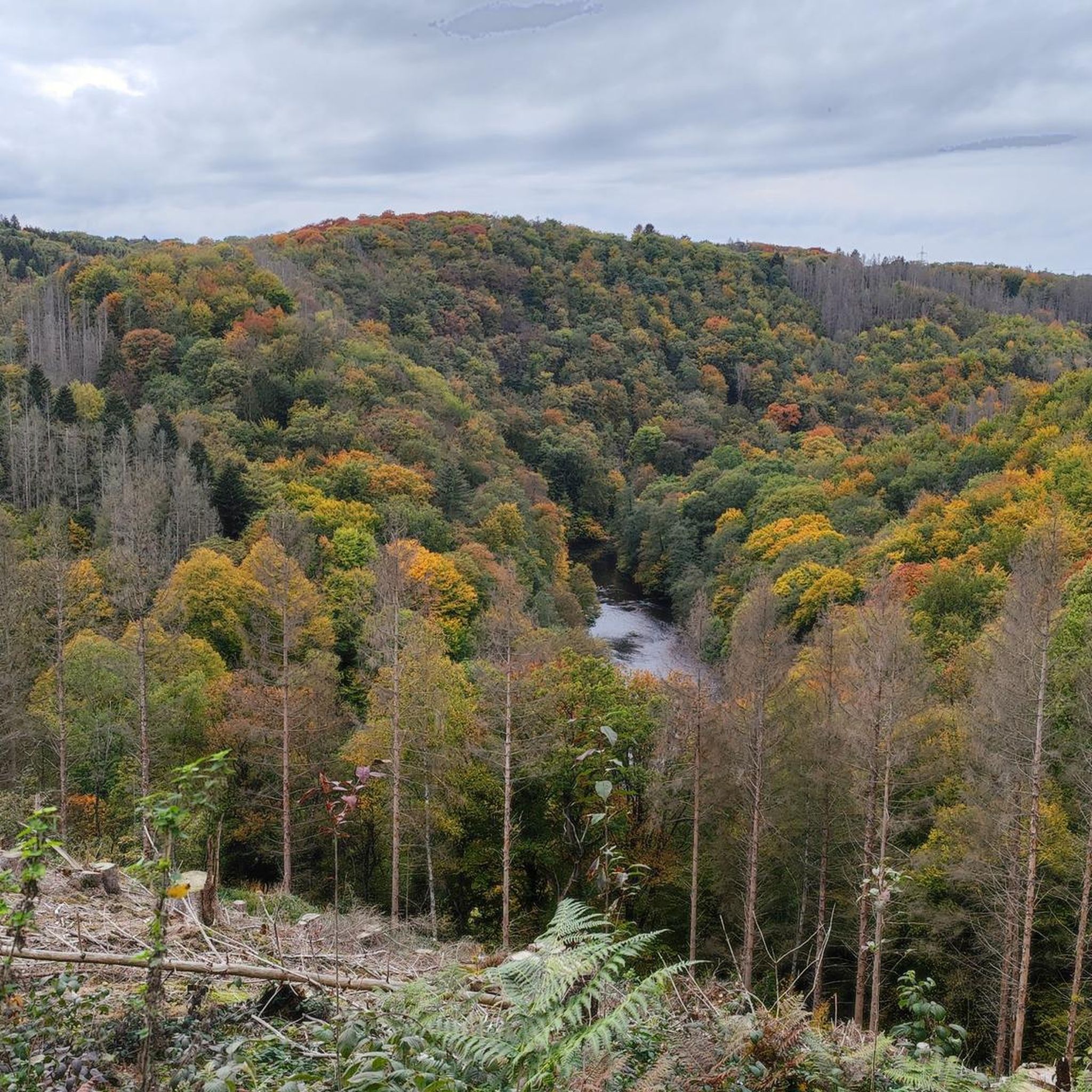
Jogging in Tal- Und Hangbereiche Der Wupper Mit Seitenbächen offers diverse landscapes for runners. The region is characterized by the winding Wupper river, flanked by steep slopes and narrow valleys, transitioning into flatter floodplains. Joggers can experience varied terrain, from challenging climbs on hillsides to gentle paths along riverbanks and through dense beech forests. This area provides an exceptional setting for outdoor activities due to its natural features and historical attractions.
Best jogging routes in Tal- Und Hangbereiche Der Wupper…
Last updated: May 14, 2026
4.6
(5)
84
runners
41.9km
05:02
1,070m
1,070m
Hard run. Very good fitness required. Sure-footedness, sturdy shoes and alpine experience required.
4.7
(15)
135
runners
Moderate run. Good fitness required. Mostly paved surfaces. Suitable for all skill levels.

Sign up for free
4.6
(13)
288
runners
Moderate run. Good fitness required. Mostly paved surfaces. Suitable for all skill levels.
5.0
(1)
34
runners
Moderate run. Good fitness required. Mostly paved surfaces. Suitable for all skill levels.
27
runners
6.89km
00:44
90m
90m
Moderate run. Good fitness required. Mostly paved surfaces. Suitable for all skill levels.
Get access to more routes and recommendations from other explorers.
Sign up for free
Already have an account?
Our route recommendations are based on thousands of hikes, rides, and runs completed by other people on komoot.
Start today with a free account
Your next adventure awaits.
Login or Signup
Popular around Tal- Und Hangbereiche Der Wupper Mit Seitenbächen
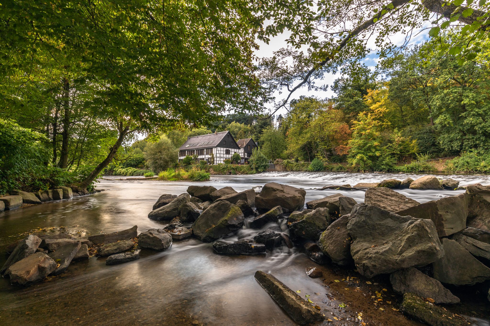
Wupper Trail – On the gentle part through Germany's Bergisches Land
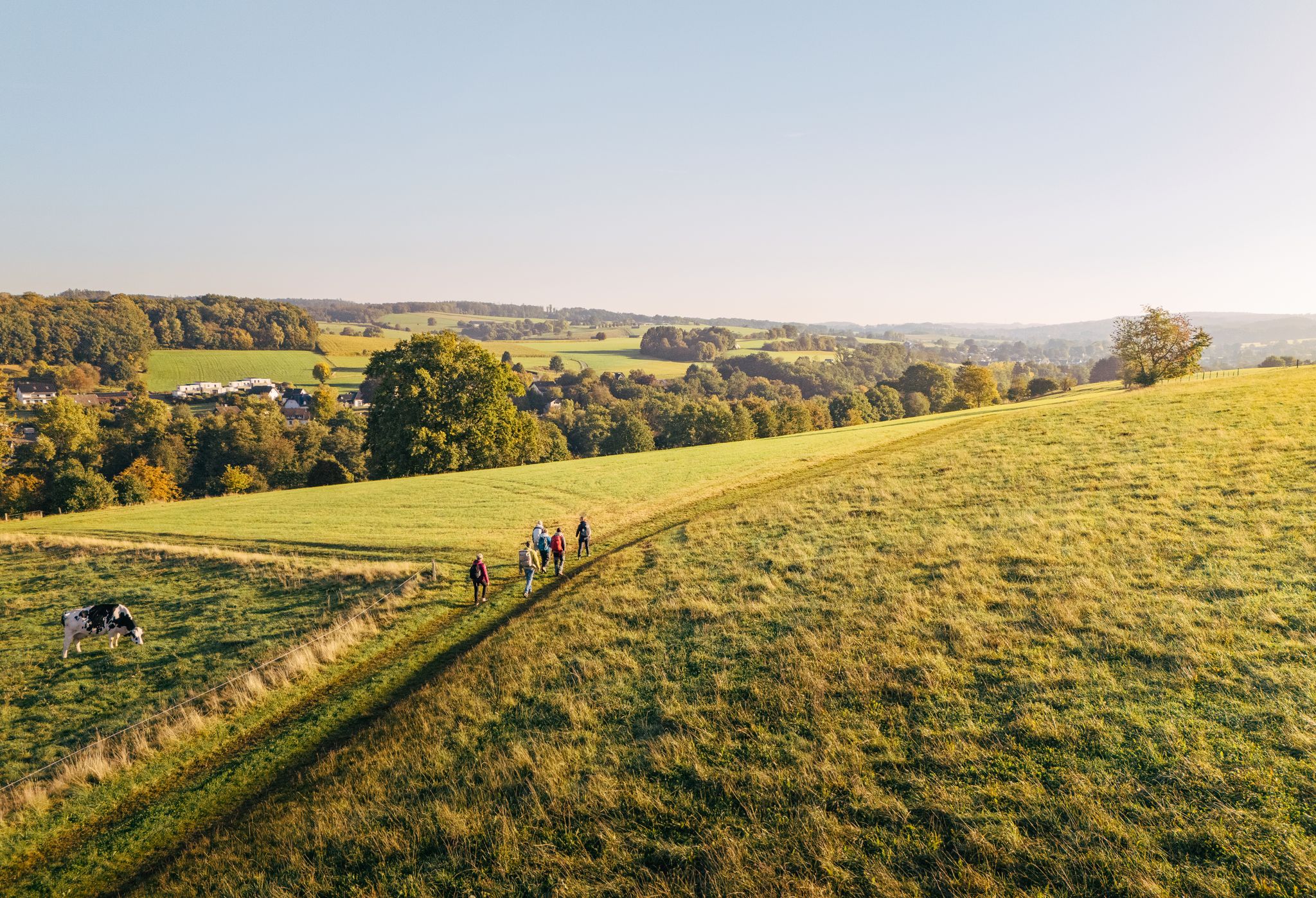
"Wunderschön" through the Bergisches Land – on the trail of the WDR show
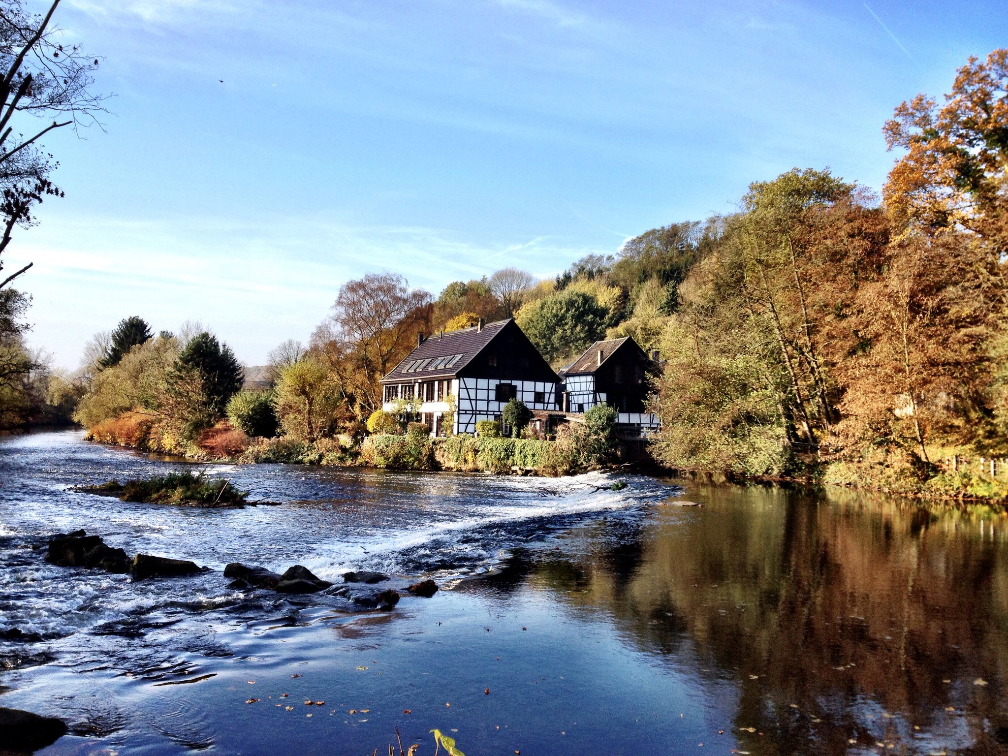
Klingenpfad (Solingen)
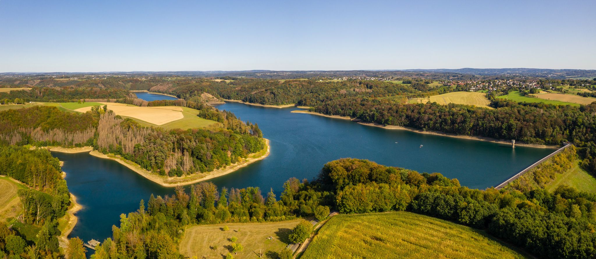
The Bergische Weg - Germany's most beautiful hiking trail 2024
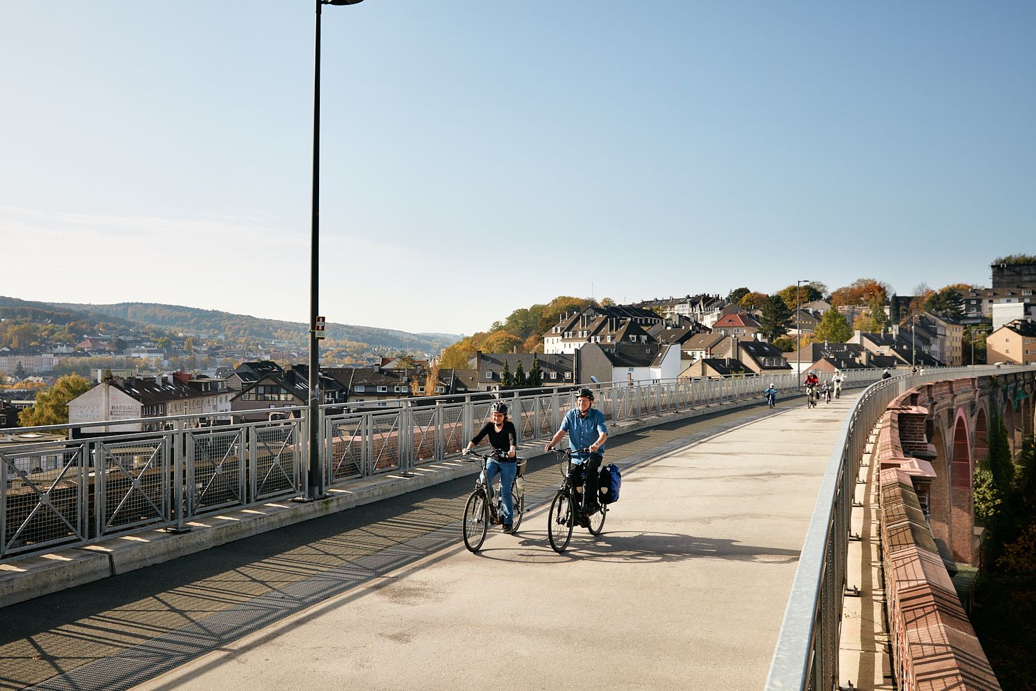
Railway lines & industrial heritage – Cycling through the Bergisches Land
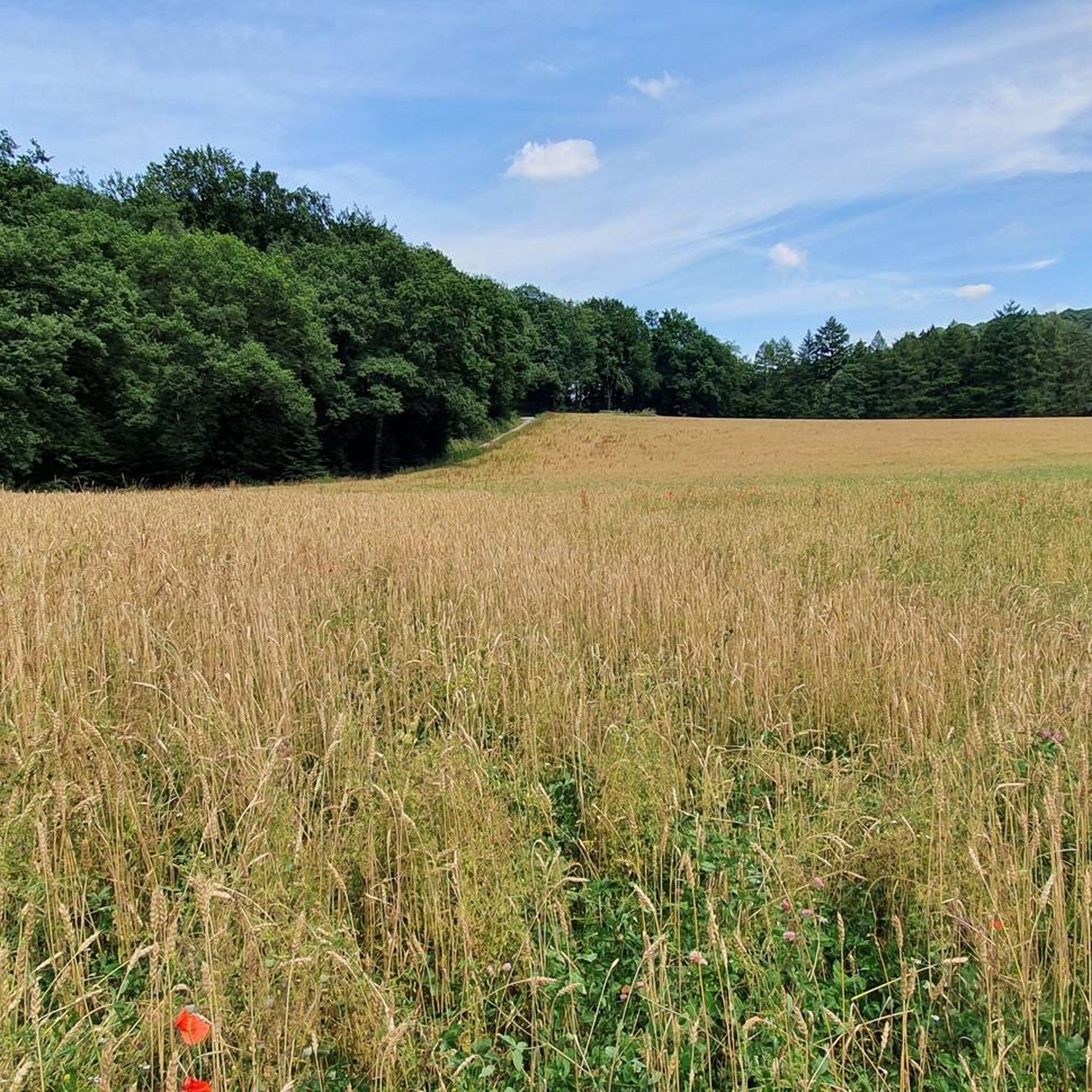
Hiking in Tal- Und Hangbereiche Der Wupper Mit Seitenbächen
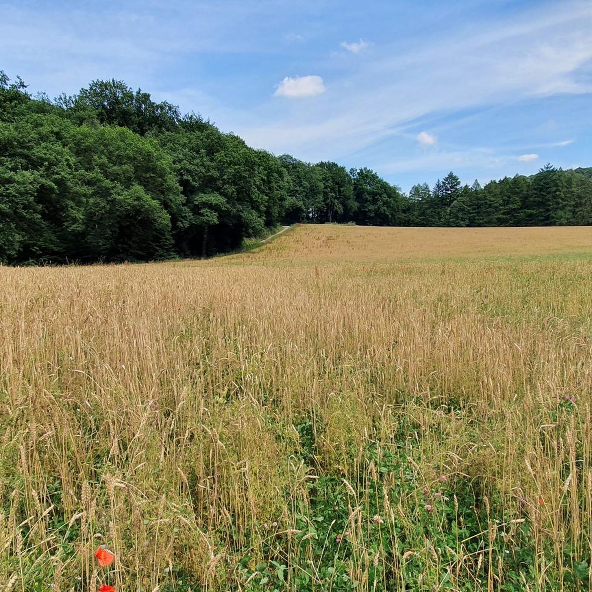
Road Cycling Routes in Tal- Und Hangbereiche Der Wupper Mit Seitenbächen
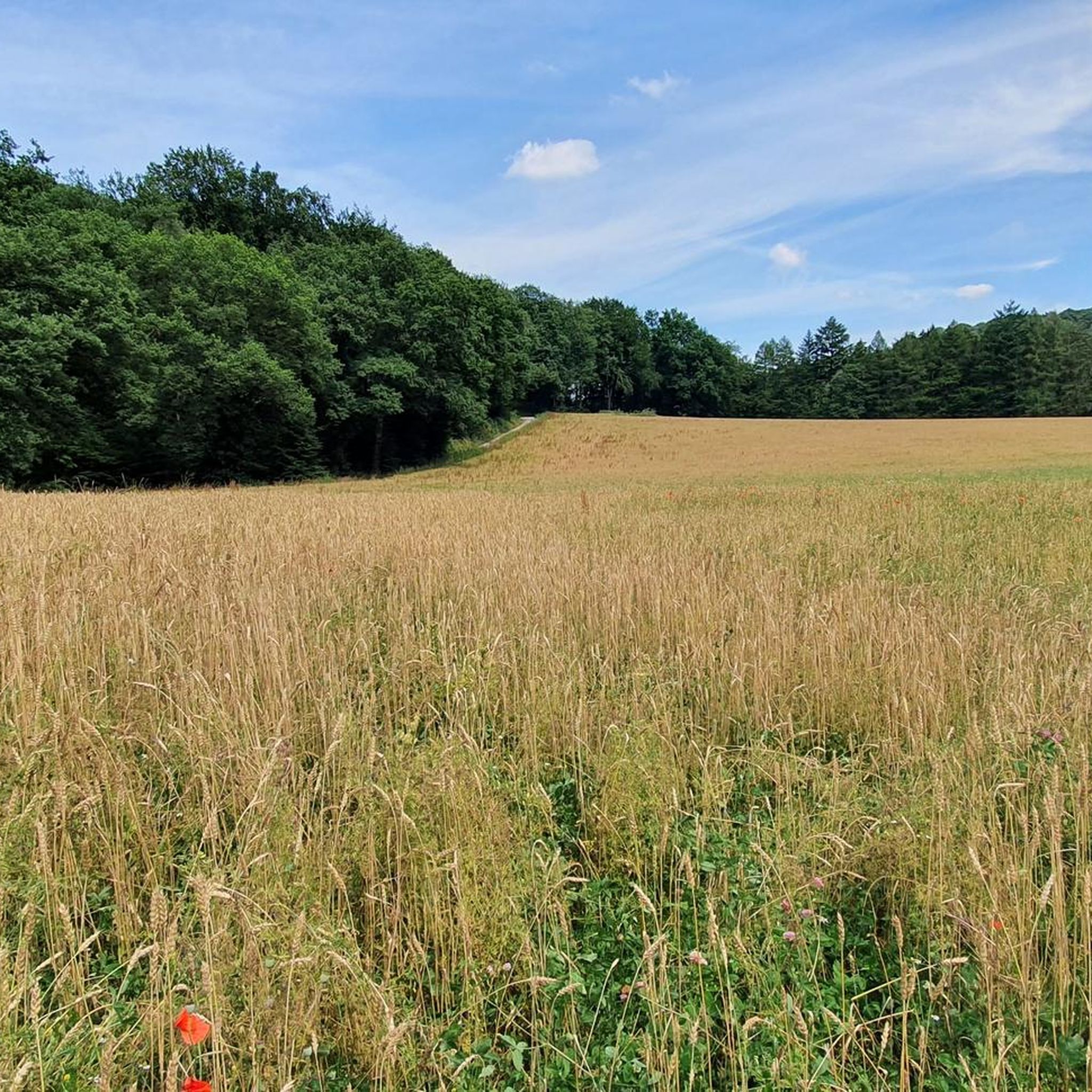
Cycling in Tal- Und Hangbereiche Der Wupper Mit Seitenbächen
MTB Trails in Tal- Und Hangbereiche Der Wupper Mit Seitenbächen

Gravel biking in Tal- Und Hangbereiche Der Wupper Mit Seitenbächen
Other adventures in Tal- Und Hangbereiche Der Wupper Mit Seitenbächen


Tips from the Community

Fresh clear cold drinking water, refilling always recommended!
1
0

A fantastic break spot with a great panoramic view 👍
1
0

great for taking a break ❗
0
0

Beautiful hiking trail, which is partly steep, so you need good footwear
0
0

The Mushroom. A great place to stop at any time of day or year. Come sun or snow, as long as you arrive after a long but not too steep climb.
1
0

From here all the highlights (castle, cable car, lower castle, parking spaces) can be reached quickly.
0
0

From its source in Bergisch Born, the Eschbach flows into the Wupper after about 12 km.
4
0

Not exactly an inviting view in autumn...
0
0
Frequently Asked Questions
How many running routes are available in Tal- Und Hangbereiche Der Wupper Mit Seitenbächen?
There are over 20 jogging routes in the Tal- Und Hangbereiche Der Wupper Mit Seitenbächen region, offering a variety of experiences. These include 11 moderate and 13 difficult routes, catering to different fitness levels.
What kind of terrain can I expect on the jogging trails in the Wupper Valley?
The Wupper Valley offers diverse terrain for runners. You'll find paths along the winding Wupper river, challenging climbs on steep hillsides, and gentle routes through dense beech forests and riverine areas. The landscape transitions from narrow valleys to flatter floodplains, providing a varied running experience.
Are there any family-friendly jogging routes in the Wupper Valley?
While many routes in the Wupper Valley feature significant elevation changes, there are options suitable for families looking for a less strenuous run. Look for paths along the flatter floodplains or around the Wupper Reservoirs, which often provide easier loops through forests and along the water's edge. Always check the route's difficulty and elevation profile before heading out.
What are some notable landmarks or points of interest I might see while running?
The region is rich in both natural beauty and historical sites. You might encounter the spectacular Müngsten Bridge, Germany's highest railroad bridge, or catch a glimpse of the historic Schloss Burg towering above the Wupper. The picturesque Wipperkotten Grinding Mill is also a popular sight along some routes, offering a peek into the region's industrial past.
Are there any circular running trails in Tal- Und Hangbereiche Der Wupper Mit Seitenbächen?
Yes, many of the running routes in the Wupper Valley are designed as loops, allowing you to start and finish at the same point. For example, the Wupper Bridge at Wupperhof – Wipperkotten Grinding Mill loop is a moderate 12.7 km trail that offers a scenic circular run. Another option is the Path Along the Wupper – Trail Above the Wupper River loop, a moderate 6.9 km route.
What do other runners say about the trails in Tal- Und Hangbereiche Der Wupper Mit Seitenbächen?
The running routes in Tal- Und Hangbereiche Der Wupper Mit Seitenbächen are highly rated by the komoot community, with an average score of 4.7 stars from over 70 reviews. Runners often praise the natural beauty, the varied terrain, and the well-maintained paths that make for an engaging outdoor experience.
Are there routes suitable for trail running with significant climbs?
Absolutely. The Wupper Valley is known for its steep slopes and challenging terrain, making it ideal for trail running enthusiasts. Areas like Gelpetal offer demanding climbs, and routes such as the Wupper Bridge Fähr – Wupper Bridge loop feature significant elevation changes, covering varied terrain along the Wupper river for an extensive workout.
Can I access the jogging routes using public transport?
The Wupper Valley region is generally well-connected, and many trailheads can be accessed via public transport. While specific bus or train stops for each route vary, the proximity of the Wuppertal region to nature, combined with its infrastructure, often allows for convenient access to various starting points. It's advisable to check local transport schedules for the specific trailhead you plan to use.
Are there any specific natural features to look out for on the running trails?
Yes, the region is a European-class nature reserve, so you'll encounter diverse natural features. Expect to run alongside the winding Wupper river, through dense beech and riverine forests, and past wild brooks rushing between crags. The area is also a habitat for rare animals and plants, adding to its ecological significance.
What is the longest running route available in the area?
One of the longest and most challenging routes is the Wupper Bridge Fähr – Wupper Bridge loop from Aue des unteren Sengbachtals. This extensive path covers 41.8 km (26.0 miles) and features significant elevation changes, making it suitable for experienced long-distance runners.
Are there any moderate difficulty running routes for those looking for a good workout without extreme challenges?
Yes, there are several moderate routes available. For instance, the Path Along the Wupper – Trail Above the Wupper River loop is a moderate 6.9 km (4.3 miles) trail, offering a good balance of distance and elevation. Another moderate option is the Wupper Bridge at Wupperhof – Wipperkotten Grinding Mill loop, which spans 12.7 km (7.9 miles).
Most popular routes in Tal- Und Hangbereiche Der Wupper Mit Seitenbächen
Most popular attractions in Tal- Und Hangbereiche Der Wupper Mit Seitenbächen

Get inspired with the komoot mobile app


Explore more
Browse the best Running Trails & Routes in other regions.
