Tal- Und Hangbereiche Der Wupper Mit Seitenbächen
Tal- Und Hangbereiche Der Wupper Mit Seitenbächen
The best road cycling routes in Tal- Und Hangbereiche Der Wupper Mit Seitenbächen
4.4
(2130)
24,641
riders
274
rides
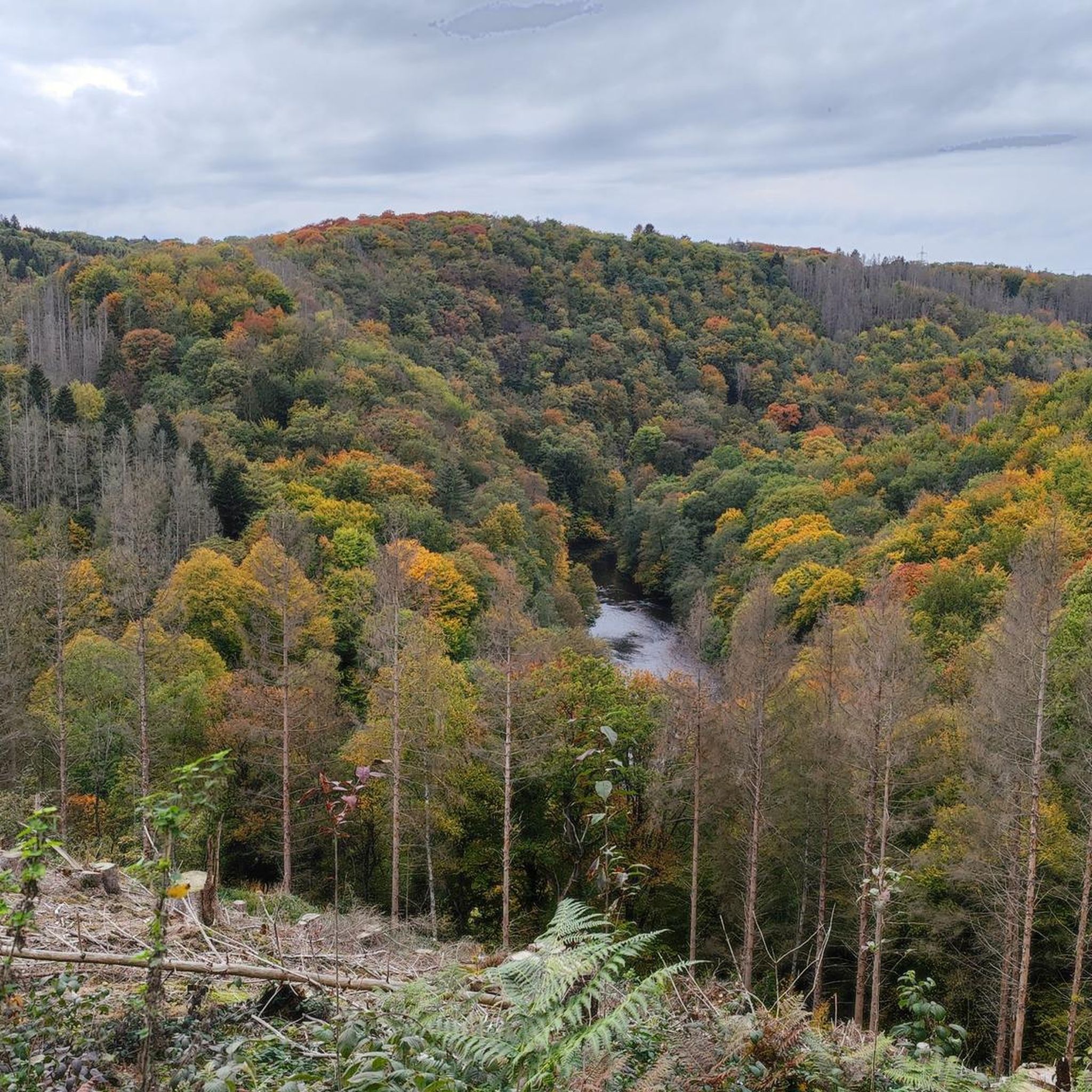
Road cycling routes in Tal- und Hangbereiche der Wupper Mit Seitenbächen traverse a landscape defined by the Wupper river valley and its numerous side streams. The region features varied terrain, including gentle slopes, forested areas, and open sections along the riverbanks. Road cyclists encounter a mix of elevation changes as routes navigate the valley's contours and surrounding hills. The area offers diverse conditions suitable for different cycling preferences.
Best road cycling routes in Tal- Und Hangbereiche Der Wupper Mit Seitenbächen
…Last updated: July 3, 2026
4.7
(73)
334
riders
26.2km
01:21
280m
280m
Easy road ride. Great for any fitness level. Mostly well-paved surfaces and easy to ride.
4.4
(20)
309
riders
83.5km
04:02
1,060m
1,060m
Hard road ride. Very good fitness required. Mostly well-paved surfaces and easy to ride.

Sign up for free
4.3
(31)
274
riders
30.6km
01:18
200m
200m
Easy road ride. Great for any fitness level. Mostly well-paved surfaces and easy to ride.
4.3
(3)
43
riders
Moderate road ride. Good fitness required. Mostly well-paved surfaces and easy to ride.
5.0
(2)
89
riders
Easy road ride. Great for any fitness level. Mostly well-paved surfaces and easy to ride.
Get access to more routes and recommendations from other explorers.
Sign up for free
Already have an account?
Our route recommendations are based on thousands of hikes, rides, and runs completed by other people on komoot.
Start today with a free account
Your next adventure awaits.
Login or Signup
Popular around Tal- Und Hangbereiche Der Wupper Mit Seitenbächen
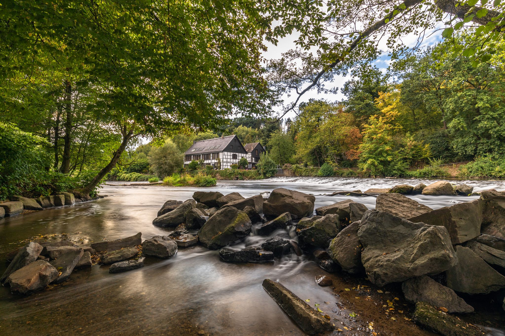
Wupper Trail – On the gentle part through Germany's Bergisches Land
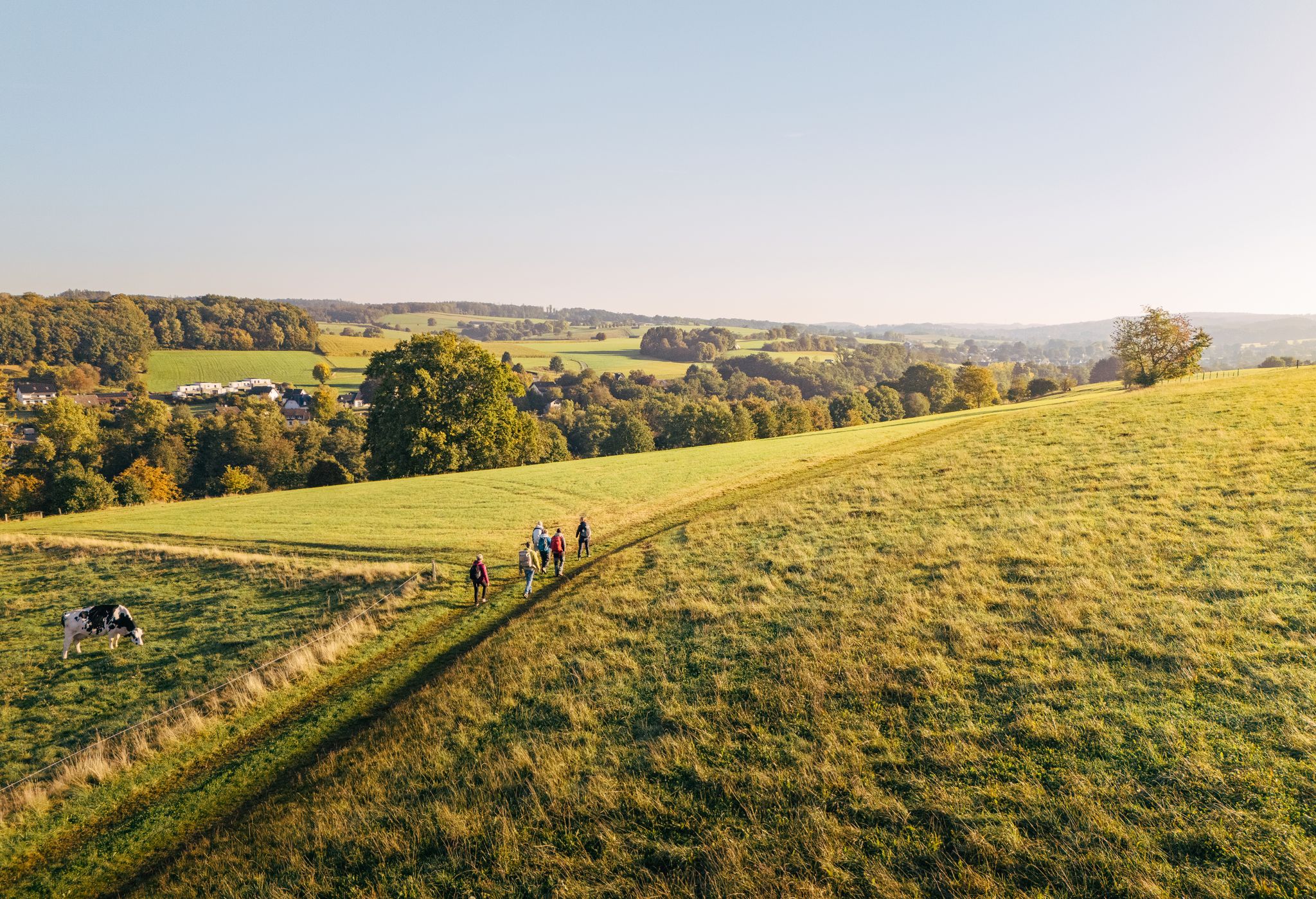
"Wunderschön" through the Bergisches Land – on the trail of the WDR show
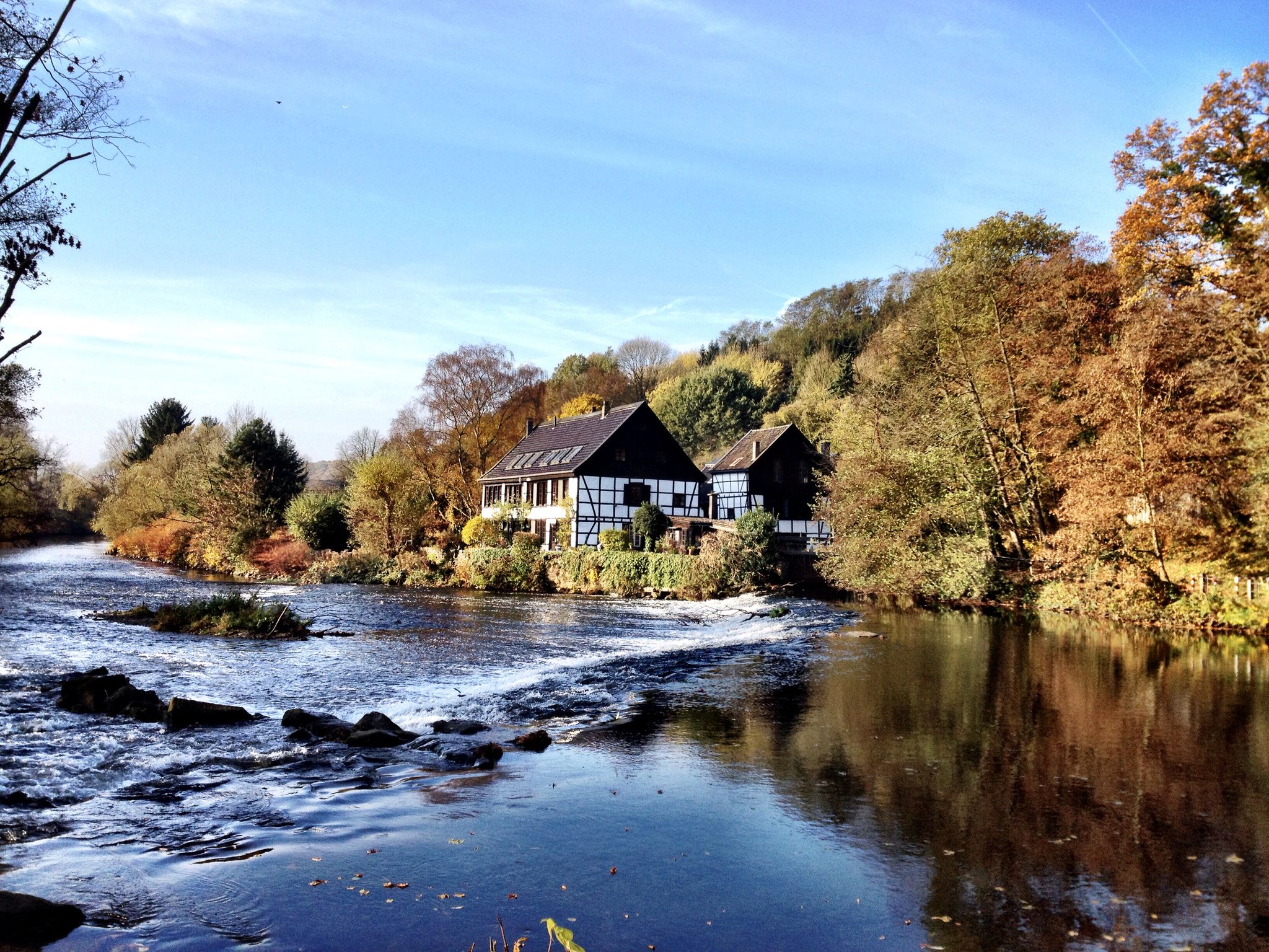
Klingenpfad (Solingen)
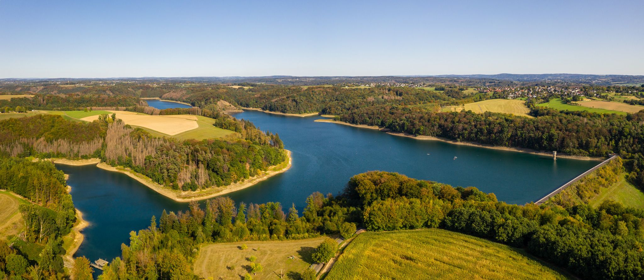
The Bergische Weg - Germany's most beautiful hiking trail 2024
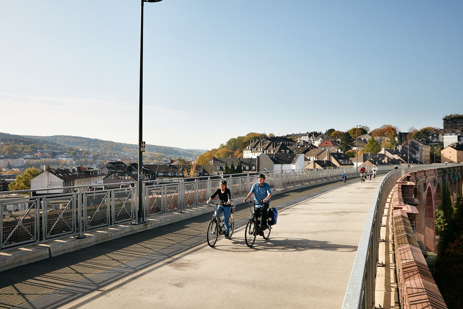
Railway lines & industrial heritage – Cycling through the Bergisches Land
Hiking in Tal- Und Hangbereiche Der Wupper Mit Seitenbächen
Cycling in Tal- Und Hangbereiche Der Wupper Mit Seitenbächen
Running Trails in Tal- Und Hangbereiche Der Wupper Mit Seitenbächen
MTB Trails in Tal- Und Hangbereiche Der Wupper Mit Seitenbächen

Gravel biking in Tal- Und Hangbereiche Der Wupper Mit Seitenbächen
Other adventures in Tal- Und Hangbereiche Der Wupper Mit Seitenbächen


Tips from the Community

For me it was an ascent - but still very cool.
0
0

A beautiful recreational area 🤙
0
0
Made it, arrived at the top! Now it's either on to Burscheid or Lennep, or down to Wipperfürth 🤙
0
0

One of many tunnels on the Balkan route. A highlight? Well, it doesn't really have to be.
0
0

John Nepomuk or John of Pomuk (Latin: Joannes de Pomuk, Czech: Jan Nepomucký or Jan z Pomuka, * around 1350 in Pomuk near Pilsen; † March 20, 1393 in Prague) was a Bohemian priest and martyr. He was canonized in 1729 by Pope Benedict XIII and is considered the "bridge saint" and patron saint of the seal of confession. Besides crosses and depictions of Mary, sculptures of Saint John Nepomuk are the most common Christian stone figures found outside of churches in the open countryside of Catholic regions in southern Germany, Bohemia, Moravia, and Austria. Statues of the saint are very often located on or near bridges. The most famous of these, created in 1683 by Johann Brokoff, is located on the Charles Bridge in Prague at the spot where the saint was thrown into the Vltava River. " https://de.wikipedia.org/wiki/Johannes_Nepomuk "... John Nepomuk lived from about 1350 to 1393. He died as punishment by being thrown from the Charles Bridge into the Vltava River and drowned. As a patron saint of bridges, his statue stands on many bridges in Europe. ..." 👉 Life and work of John Nepomuk and further information: https://www.erzbistum-koeln.de/presse_und_medien/magazin/Johannes-Nepomuk-der-Brueckenheilige
0
0

A quick stop, a photo, and enjoyment...then quickly move on.
0
0

Fast down and a little slower up again😣
1
0
Frequently Asked Questions
How many road cycling routes are available in Tal- Und Hangbereiche Der Wupper Mit Seitenbächen?
There are over 270 road cycling routes in Tal- Und Hangbereiche Der Wupper Mit Seitenbächen, offering a wide range of options for different skill levels and preferences.
Are there easy road cycling routes suitable for beginners in the Wupper region?
Yes, the region offers more than 60 easy road cycling routes. A popular choice is the View of the Itter Valley – Café Zur Trasse loop from Solingen-Schaberg, which is 16.3 miles (26.2 km) long and provides scenic views.
What are the options for challenging road cycling routes in Tal- Und Hangbereiche Der Wupper Mit Seitenbächen?
For experienced cyclists seeking a challenge, there are nearly 60 difficult routes. The Descent to Immekeppel – Climb to Hohkeppel loop from Leichlingen is a demanding 51.7 miles (83.2 km) path featuring significant climbs and descents through varied topography.
Can I find circular road cycling routes in the Wupper valleys?
Many routes in the Wupper valleys are designed as loops, allowing you to start and end at the same point. An example is the Balkan Route Opladen–Burscheid – Romberg Tunnel loop from Leichlingen, which follows a former railway line.
When is the best time of year for road cycling in Tal- Und Hangbereiche Der Wupper Mit Seitenbächen?
The spring and autumn months generally offer pleasant temperatures and beautiful scenery for road cycling. Summer is also suitable, but it's advisable to start early to avoid the midday heat. Always check local weather conditions before heading out.
Are there road cycling routes with cafes or places to stop for refreshments?
Yes, several routes pass through or near towns and villages where you can find cafes and restaurants. The View of the Itter Valley – Café Zur Trasse loop, for instance, includes a stop at Café Zur Trasse, making it convenient for a break.
What scenic viewpoints can I discover along the road cycling routes?
The region is rich in scenic spots. You can find viewpoints offering stunning vistas, such as the Viewpoint Wupper and Wipperkotten or various perspectives of the iconic Müngsten Bridge and Bridge Park.
Are there any interesting landmarks or attractions to see while road cycling in the Wupper region?
Absolutely. Cyclists can explore historical sites like the Historic center of Solingen-Unterburg, or natural features such as the Rocky Banks of the Wupper. The impressive Müngsten Bridge is a prominent landmark often visible from routes.
What do other road cyclists enjoy the most about road cycling in Tal- Und Hangbereiche Der Wupper Mit Seitenbächen?
The area is highly rated by the komoot community, with an average score of 4.3 stars from over 1,900 reviews. Cyclists often praise the diverse terrain, which includes river valleys, rolling hills, and routes along former railway lines, offering a varied and engaging experience.
Are there routes that follow former railway lines in the Wupper region?
Yes, the region is known for its 'Balkan Route,' which utilizes former railway lines. The View of the Balkantrasse – Balkantrasse loop from Wupperhänge is a great example, offering a relatively flat and smooth cycling experience through scenic landscapes.
What is the typical elevation gain on road cycling routes in this area?
The elevation gain varies significantly depending on the route. Easy routes, especially those along former railway lines, might have minimal climbs, while challenging routes like the Descent to Immekeppel – Climb to Hohkeppel loop can feature over 1,000 meters of ascent, navigating the region's hilly contours.
Most popular routes in Tal- Und Hangbereiche Der Wupper Mit Seitenbächen
Most popular attractions in Tal- Und Hangbereiche Der Wupper Mit Seitenbächen

Get inspired with the komoot mobile app


Explore more
Browse the best Road cycling routes in other regions.
