Perlenbach-Fuhrtsbachtal-Talsystem
Perlenbach-Fuhrtsbachtal-Talsystem
The best mountain hikes in Perlenbach-Fuhrtsbachtal-Talsystem
4.3
(9)
24
hikers
4
hikes
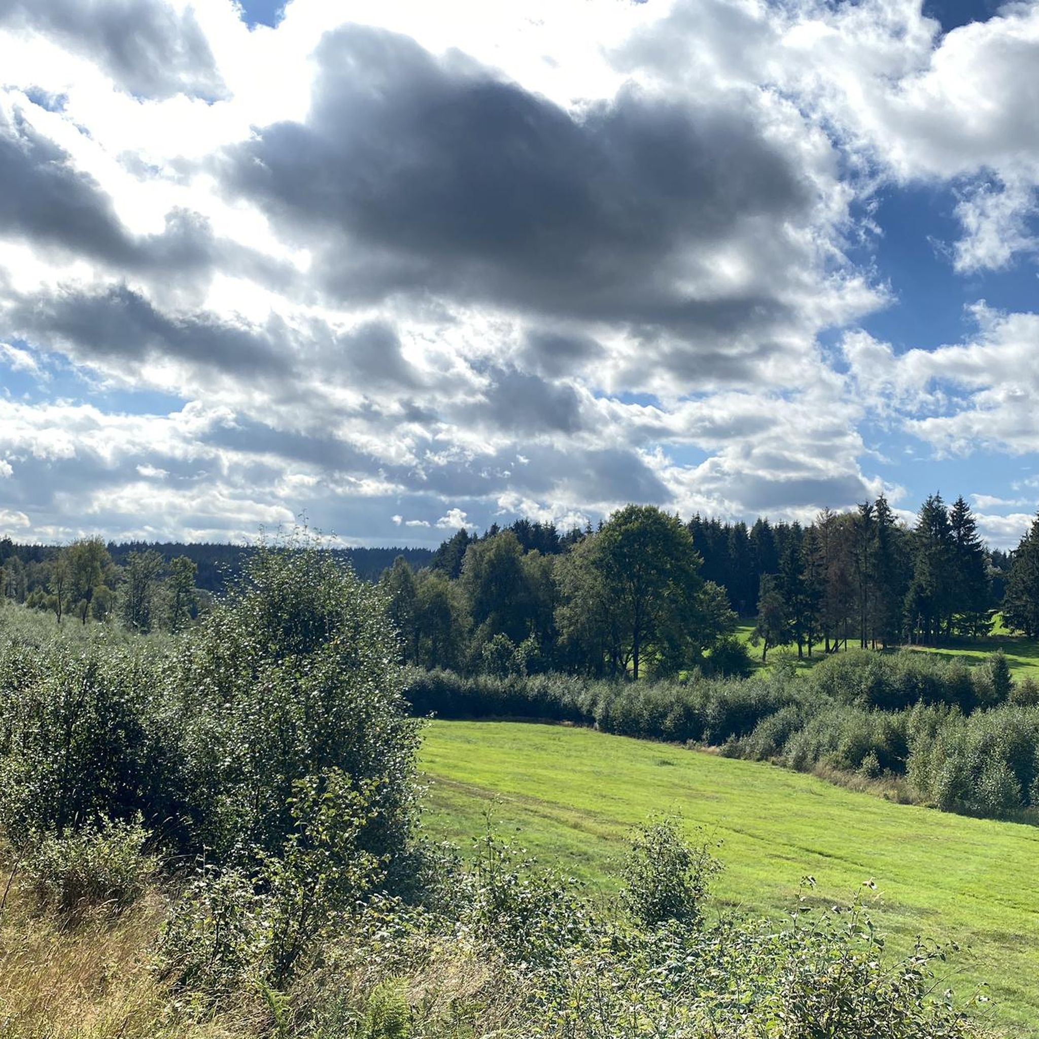
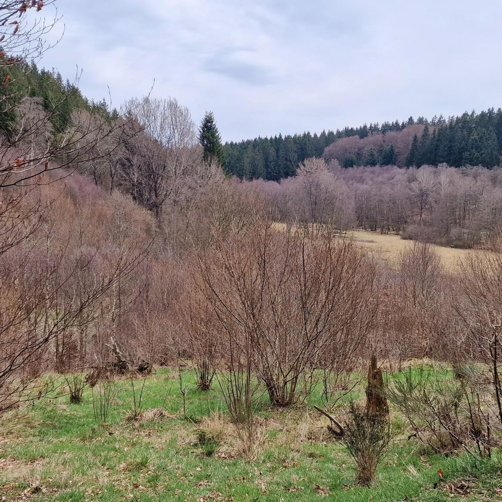
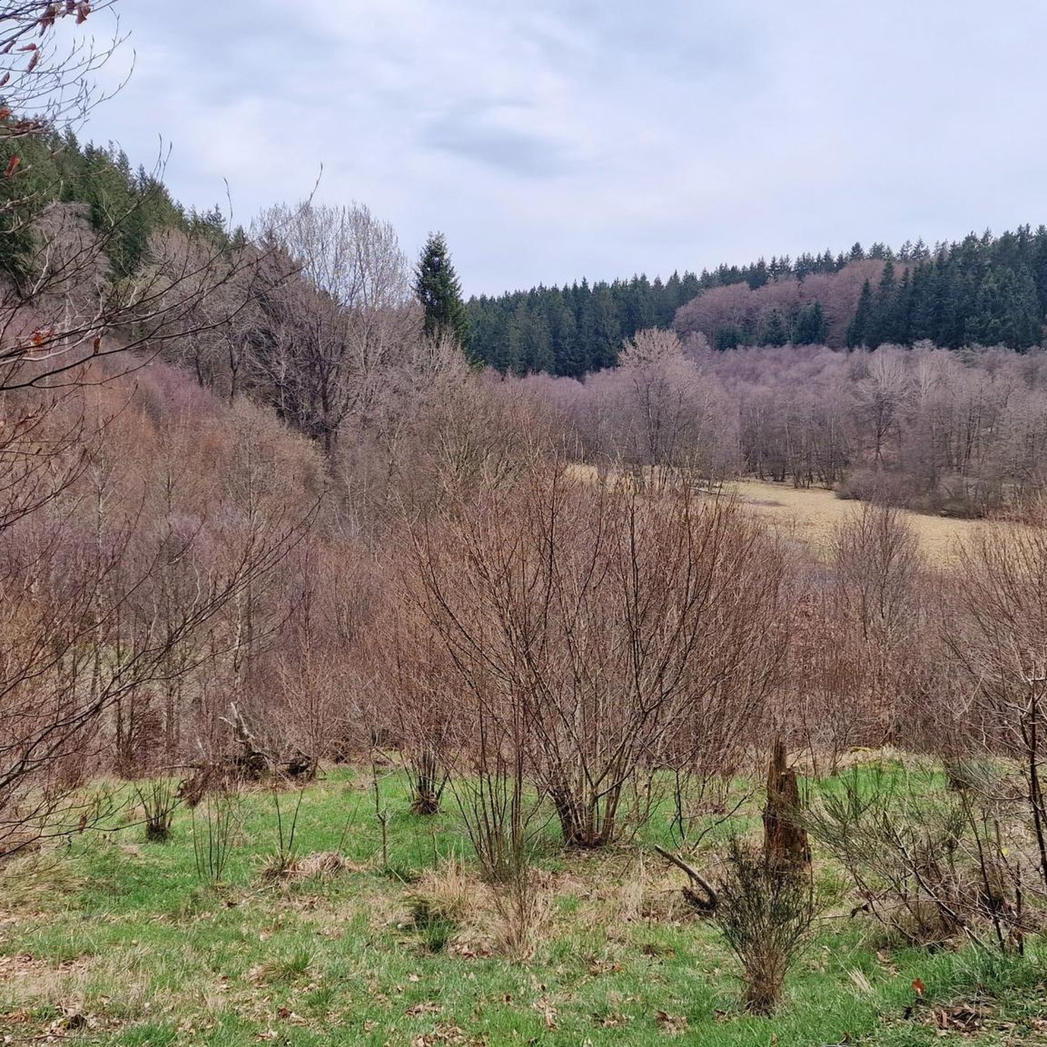
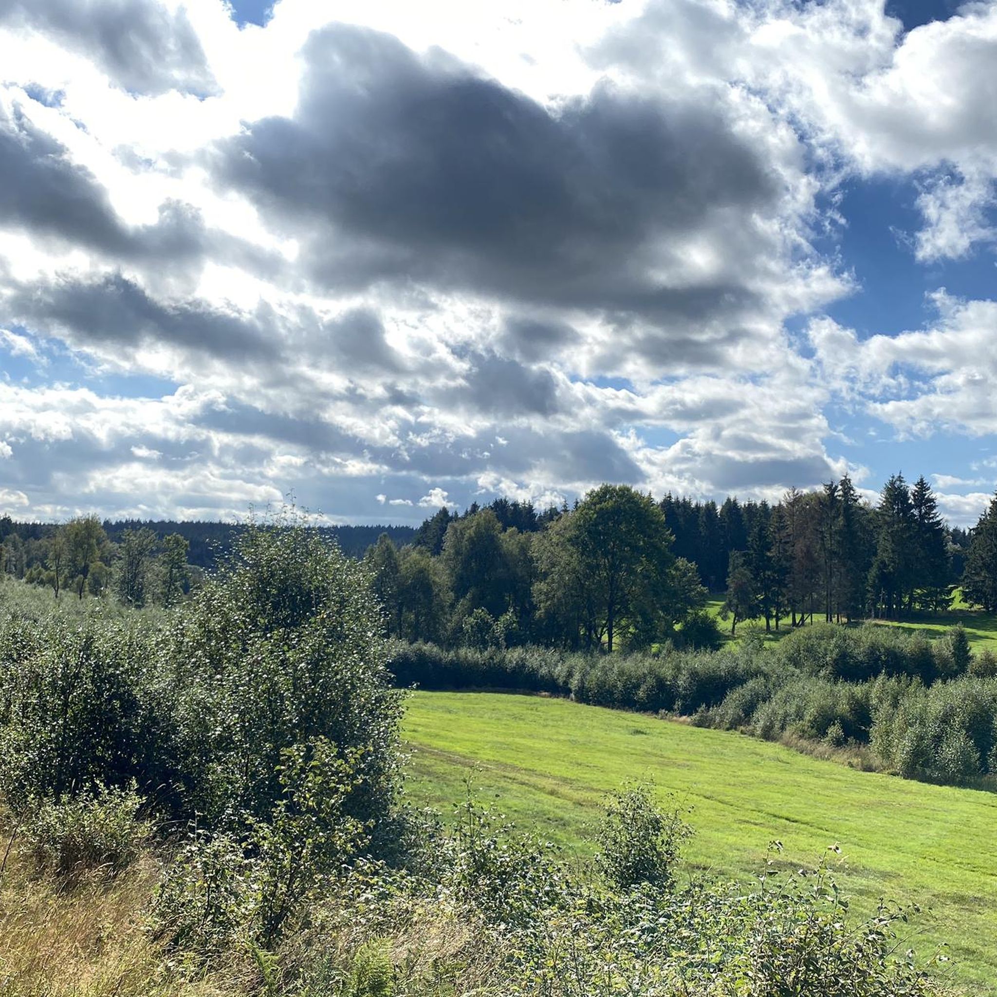
Mountaineering routes in Perlenbach-Fuhrtsbachtal-Talsystem traverse a diverse landscape within the Aachen region, characterized by river valleys, extensive forests, and elevated plateaus. The area features the serene Fuhrtsbach Valley with its lush greenery and the significant Perlenbach Dam. Elevations range from 1,526 to 2,018 feet (465 to 615 meters) above sea level, offering varied terrain for experienced hikers. The region's geological foundation includes Lower Devonian quartz-bearing clay slate and notable rock formations like Teufelsley, Engelsley, and Pferdeley.
Best mountaineering routes in…
Last updated: July 1, 2026
4.0
(1)
2
hikers
15.7km
04:31
370m
370m
Moderate mountaineering route. Good fitness required. Easily-accessible paths. Suitable for all skill levels.
5.0
(1)
8
hikers
Hard mountaineering route. Very good fitness required. Easily-accessible paths. Suitable for all skill levels.

Sign up for free
4.5
(2)
3
hikers
Moderate mountaineering route. Good fitness required. Easily-accessible paths. Suitable for all skill levels.
3.0
(1)
2
hikers
Moderate mountaineering route. Good fitness required. Easily-accessible paths. Suitable for all skill levels.
2
hikers
5.54km
01:31
90m
90m
Easy mountaineering route. Great for any fitness level. Easily-accessible paths. Suitable for all skill levels.
Our route recommendations are based on thousands of hikes, rides, and runs completed by other people on komoot.
Start today with a free account
Your next adventure awaits.
Login or Signup
Popular around Perlenbach-Fuhrtsbachtal-Talsystem
Tips from the Community

For the Geocachers: There are 23 steps :-)
0
0

According to local tradition, an old legend explains the origin of the Teufelsley (Devil's Rock). The devil was said to have been enraged because a monastery was to be built in the region. In his anger, he dislodged a massive boulder from the heights to destroy the structure. However, as he approached with the stone, an angel intervened, thwarting the devil's plan and stopping his attack. The rock brought by the devil then remained in its present location and has been called Teufelsley ever since.
45
0

The Walloon Fagnes on a winter's day along the 'Road of Remembrance' which passes through here and visits the various WWII memorials in the East Cantons and the Eifel.
3
0

Simply beautiful to linger :)
0
0

Beautiful area, worth a visit. I will definitely come back.
0
0

Parking lot, a brasserie and straight into nature.
1
1

Impressive reminder of times when Europe was at war.
3
0
Beautiful path with alternating root and boardwalk paths. 👌
3
0
Frequently Asked Questions
What is the general difficulty level of mountaineering routes in Perlenbach-Fuhrtsbachtal-Talsystem?
The mountaineering routes in Perlenbach-Fuhrtsbachtal-Talsystem offer a range of difficulties, primarily from moderate to difficult. While the region is not for technical mountaineering, its varied terrain provides challenging options for experienced hikers, with some trails demanding very good fitness and sure-footedness.
Are there any challenging mountaineering routes for experienced hikers?
Yes, experienced hikers will find several challenging routes. For instance, the Eifel Glassblowing Workshop – The Rur River in Monschau loop from Monschau is a difficult 13.2-mile (21.3 km) path with substantial ascents, offering a strenuous experience. These routes often require good fitness, sure-footedness, and sturdy shoes.
Can beginners find suitable mountaineering routes in this region?
While many routes are moderate to difficult, there are options for those new to mountaineering or looking for a less strenuous hike. The Signal de Botrange loop from Waimes is an easier 3.4-mile (5.4 km) route, providing a good starting point to experience the region's beauty without extreme demands.
What natural features can I expect to see along the mountaineering routes?
You'll encounter a diverse landscape, including the serene Fuhrtsbach Valley with its lush greenery, extensive deciduous and coniferous forests, and the significant Perlenbach Reservoir. The reserve is also known for its unique fen vegetation and wet grassland zones.
Are there any historical sites to explore while mountaineering?
Yes, the area carries historical significance. You can find remnants of old bunkers and fortifications from World War II. The Westwall Remnants at Hollerath – Oleftalsperre Inlet loop from Hollerath is an 11.0-mile (17.7 km) trail that specifically leads through these historical areas.
Where can I experience the famous daffodil bloom?
The valleys are renowned for their spectacular display of ten million native daffodils (Narcissus pseudonarcissus) that bloom in spring. You can best experience this at the Wild Daffodil Meadows in Perlenbachtal, typically from late March to mid-May.
When is the best time of year to go mountaineering in Perlenbach-Fuhrtsbachtal-Talsystem?
The region offers seasonal beauty throughout the year. Spring, particularly from late March to mid-May, is popular for the blooming daffodils. Summer provides lush greenery and ample shade, while autumn showcases vibrant foliage. The landscape also transforms into scenic snowy vistas in winter for those prepared for colder conditions.
Are the mountaineering routes in Perlenbach-Fuhrtsbachtal-Talsystem suitable for families with children?
While many mountaineering routes are more challenging, some trails are suitable for families. For an interactive experience, the Kölschkier forest adventure course in the Perlenbach Valley offers an adventure playground with nine stations designed to explore the forest habitat using natural materials, making it a great option for families.
Are dogs allowed on the mountaineering trails?
The Perlenbach-Fuhrtsbachtal-Talsystem is a nature reserve, and generally, dogs are welcome on trails, but it's always advisable to keep them on a leash to protect wildlife and respect other hikers. Specific regulations might apply in certain sensitive ecological zones, so check local signage.
Are there many circular mountaineering routes available?
Yes, many of the mountaineering routes in the Perlenbach-Fuhrtsbachtal-Talsystem are designed as loops, offering convenient circular journeys. Examples include the Teufelsley Rock Formation – Monschau's historic Old Town loop from Monschau and the Boardwalks through the Brackvenn – Brackvenn Moor Lakes loop from Kleines Laufenbachtal.
What are the parking options for mountaineering routes in the Perlenbach-Fuhrtsbachtal-Talsystem?
Parking is generally available at key access points and trailheads for the mountaineering routes. Many routes, such as those starting from Monschau or Hollerath, have designated parking areas nearby. It's recommended to check specific route details for the most convenient parking locations.
What do other mountaineers enjoy the most about mountaineering in Perlenbach-Fuhrtsbachtal-Talsystem?
The area is highly rated by the komoot community, with an average score of 4.3 stars from over 8 reviews. Mountaineers often praise the diverse landscape, the challenging yet rewarding trails, and the serene natural beauty, especially the river valleys and the Perlenbach Reservoir.
Most popular routes in Perlenbach-Fuhrtsbachtal-Talsystem
Most popular attractions in Perlenbach-Fuhrtsbachtal-Talsystem

Get inspired with the komoot mobile app


Explore more
Browse the best Mountain Hikes & Routes in other regions.
