Perlenbach-Fuhrtsbachtal-Talsystem
Perlenbach-Fuhrtsbachtal-Talsystem
The best road cycling routes in Perlenbach-Fuhrtsbachtal-Talsystem
4.5
(186)
4,306
riders
124
rides
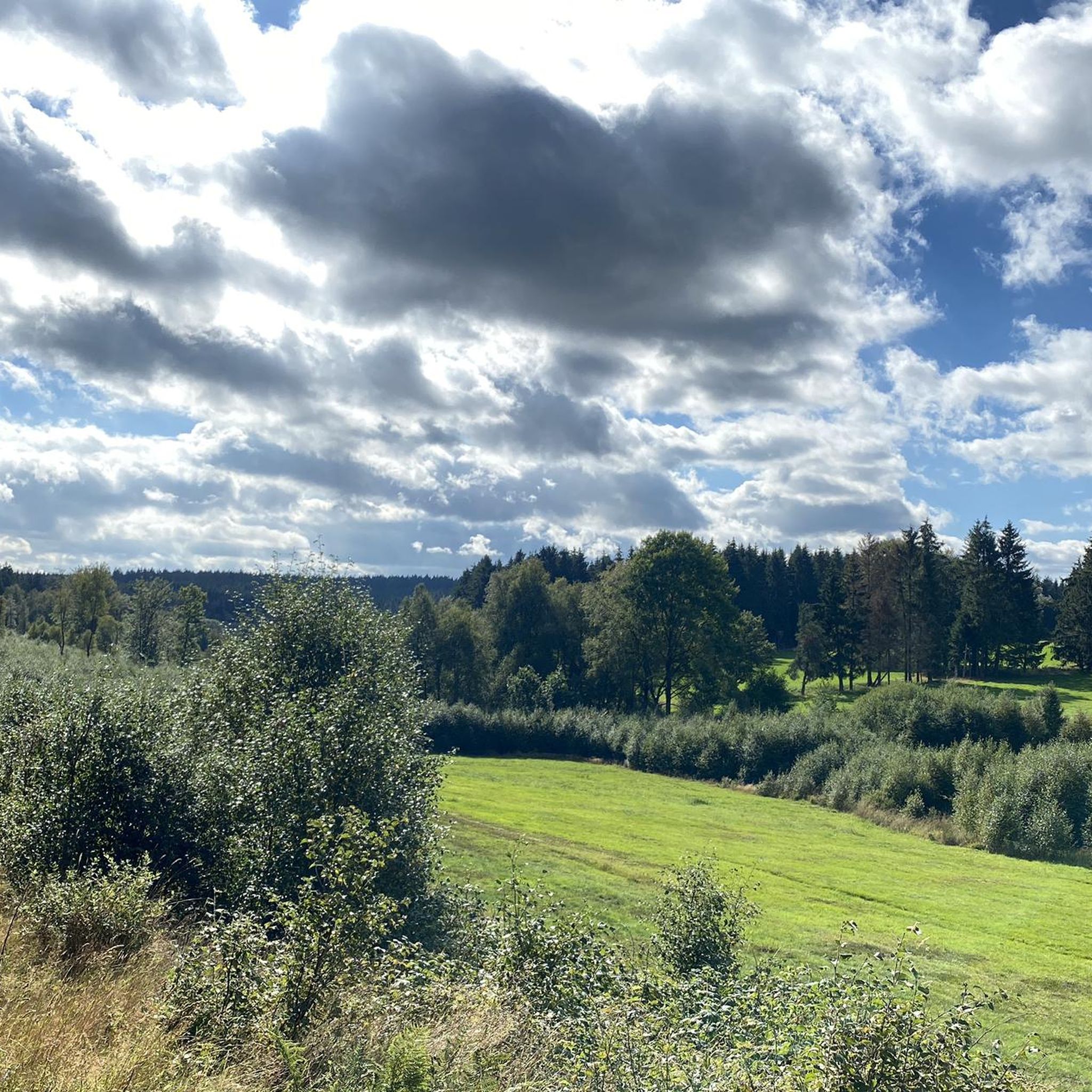
Road cycling in Perlenbach-Fuhrtsbachtal-Talsystem offers routes through a designated nature reserve characterized by varied topography and scenic landscapes. The area encompasses the valleys of the Perlenbach and Fuhrtsbach rivers, situated at elevations between 465 and 615 meters above sea level. Cyclists encounter a mix of ascents and descents, passing through lush river valleys, extensive forests, and open meadows. A significant landmark is the Perlenbach Dam and its reservoir, often integrated into road cycling routes.
Best road cycling routes in Perlenbach-Fuhrtsbachtal-Talsystem
…Last updated: July 1, 2026
5.0
(3)
139
riders
Hard road ride. Very good fitness required. Some segments of this route may be unpaved and difficult to ride.
5.0
(1)
19
riders
Moderate road ride. Good fitness required. Some segments of this route may be unpaved and difficult to ride.

Sign up for free
12
riders
Hard road ride. Very good fitness required. Mostly well-paved surfaces and easy to ride.
5.0
(1)
14
riders
Hard road ride. Very good fitness required. Some segments of this route may be unpaved and difficult to ride.
47
riders
52.6km
02:24
570m
570m
Moderate road ride. Good fitness required. Mostly well-paved surfaces and easy to ride.
Get access to more routes and recommendations from other explorers.
Sign up for free
Already have an account?
Our route recommendations are based on thousands of hikes, rides, and runs completed by other people on komoot.
Start today with a free account
Your next adventure awaits.
Login or Signup
Popular around Perlenbach-Fuhrtsbachtal-Talsystem
Tips from the Community

The Vennbahn is one of the longest cycle paths along disused railway lines in Europe. It leads through 3 countries, is completely asphalted and has only slight inclines. Nature, borderland flair and Vennbahn stories accompany this 125 km long tour.
0
0

The entire cycle path is a highlight. Easy to ride in the direction of Luxembourg
0
0

The viaduct is beautiful to see from a distance, but on the viaduct you have a wonderful view of the surroundings. The panorama board explains what you see.
10
0

A paved path runs along the Oleftal dam, which many cyclists know how to use. The circuit takes just under 14 km and offers beautiful views of the dam time and again. Numerous benches invite you to linger a while.
1
0
A paved path runs along the Olef Reservoir, popular with cyclists. The circuit is just under 14 km long, offering beautiful views of the reservoir along the way. Numerous benches invite you to take a break.
0
0
A paved path runs along the Olef Reservoir, popular with cyclists. The circuit is just under 14 km long, offering beautiful views of the reservoir along the way. Numerous benches invite you to take a break.
0
1

Beautiful routes & opportunity for a coffee break
0
0

Unique experience, nice smooth asphalt and a nice constant slope.
0
0
Frequently Asked Questions
How many road cycling routes are available in Perlenbach-Fuhrtsbachtal-Talsystem?
There are over 110 road cycling routes in the Perlenbach-Fuhrtsbachtal-Talsystem, offering a wide range of options for different skill levels. You'll find everything from moderate loops to more challenging, longer routes.
What is the typical difficulty level of road cycling routes in this region?
The Perlenbach-Fuhrtsbachtal-Talsystem offers a diverse range of routes due to its varied topography. You'll find a mix of ascents and descents, with approximately 52 moderate and 55 difficult routes, alongside a few easier options. This ensures a dynamic cycling experience for various fitness levels.
What kind of landscapes can I expect to see while road cycling here?
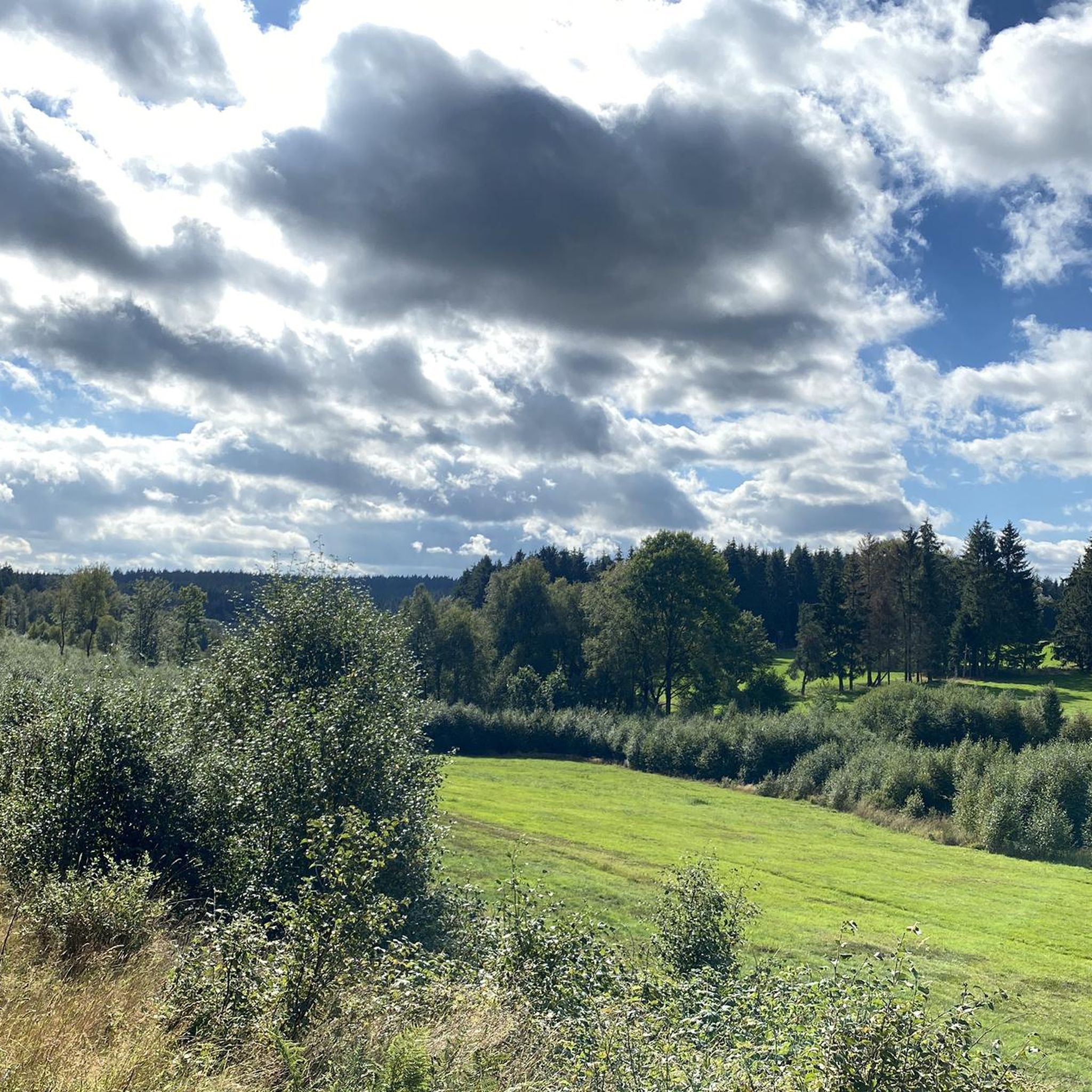
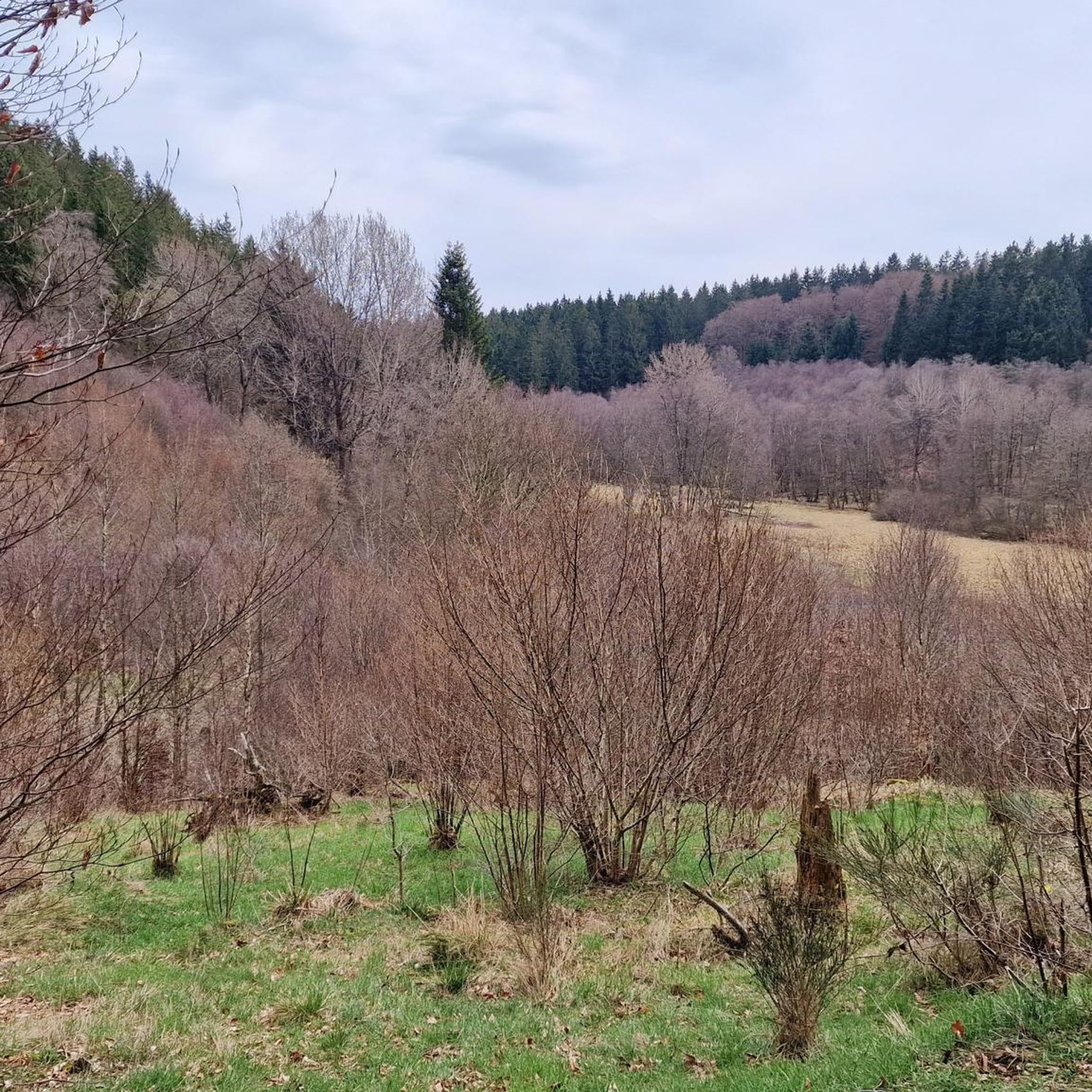
The region is characterized by picturesque river valleys, dense forests, and open meadows. You'll cycle through the lush valleys of the Perlenbach and Fuhrtsbach rivers, experience the serene atmosphere of the nature reserve, and pass by the scenic Perlenbach Dam and its reservoir.
Are there any notable landmarks or attractions along the road cycling routes?
Yes, several natural landmarks and attractions enhance the cycling experience. You can explore the beautiful Fuhrtsbach Valley, witness the unique Wild Daffodil Meadows in Perlenbachtal, and enjoy views of the Perlenbach Reservoir. The Confluence of the Fuhrtsbach and the Perlenbach is another interesting natural feature.
When is the best time of year to go road cycling in Perlenbach-Fuhrtsbachtal-Talsystem?
The spring, particularly from late March to mid-May, is a spectacular time to visit due to the bloom of millions of wild daffodils in the Perlenbach valley. Beyond this unique event, the region's blend of deciduous and coniferous trees provides shade and a refreshing atmosphere during warmer months, making summer also enjoyable.
What do other road cyclists enjoy most about the routes in Perlenbach-Fuhrtsbachtal-Talsystem?
The area is highly rated by the komoot community, with an average score of 4.6 stars from over 180 reviews. Cyclists often praise the varied terrain, the scenic river valleys, and the immersive natural experiences offered by the nature reserve.
Are there any good loop routes for road cycling in the area?
Yes, many routes are designed as loops. For example, the Robertville Lake and Dam – Robertville Dam loop is a popular option, as is the Wahlerscheid Bike Path – Oleftalsperre loop. These routes allow you to start and finish at the same point, making logistics easier.
What is the longest road cycling route available?
One of the longer and more challenging routes is the Upper Rur Valley – View of the Rursee loop, which covers approximately 105.7 kilometers (65.7 miles) and typically takes around 5 hours to complete.
Are there any shorter, moderate road cycling routes suitable for a half-day trip?
Yes, for a moderate half-day trip, consider the Wahlerscheid Bike Path – Oleftalsperre loop from Höfen. This route is about 36 kilometers (22.4 miles) long and can be completed in just over an hour and a half, offering scenic views without being overly demanding.
What is the elevation range for road cycling in Perlenbach-Fuhrtsbachtal-Talsystem?
The region is situated at an elevation between 465 and 615 meters above sea level. This elevation range contributes to the dynamic cycling experience, providing a mix of ascents and descents throughout the routes.
Can I find routes that include the Perlenbach Reservoir?
Absolutely. The Perlenbach Dam and its reservoir are significant landmarks often integrated into various cycling routes. For instance, the View of Perlenbach Reservoir – Vennbahn at Rurhof loop from Monschau offers direct views of the reservoir.
Are there any routes that pass through the Perlenbach valley's famous daffodil meadows?
Yes, many routes traverse the Perlenbach valley. While specific routes are not named for the daffodil meadows, cycling through the valley during spring will immerse you in this spectacular natural display, especially around the Wild Daffodil Meadows in Perlenbachtal.
Most popular routes in Perlenbach-Fuhrtsbachtal-Talsystem
Most popular attractions in Perlenbach-Fuhrtsbachtal-Talsystem

Get inspired with the komoot mobile app


Explore more
Browse the best Road cycling routes in other regions.
