Perlenbach-Fuhrtsbachtal-Talsystem
Perlenbach-Fuhrtsbachtal-Talsystem
The best cycling routes in Perlenbach-Fuhrtsbachtal-Talsystem
4.5
(7662)
42,036
riders
409
rides
Touring cycling routes in Perlenbach-Fuhrtsbachtal-Talsystem traverse a 331-hectare nature reserve within the Monschauer-Hellentaler forest plateau. The area features elevations ranging from 465 to 615 meters above sea level, encompassing the valleys of the Perlenbach and Fuhrtsbach streams. The landscape includes fen vegetation, wet grassland zones, and diverse forest environments. Notable rock formations like Teufelsley, Engelsley, Bromelsley, and Pferdeley add geological interest to the scenery.
Best touring cycling routes in Perlenbach-Fuhrtsbachtal-Talsystem
- The most popular touring cycling route is Southern End of the Obersee – Obersee at Einruhr loop from Unteres Perlenbachtal mit den Felsbildungen der Teufelsley, Engelsley, Bromelsley und Pferdeley, a 22.0 miles (35.4 km) trail that takes 2 hours 28 minutes to complete. This difficult route explores the scenic Obersee area.
- Another top favourite among local touring cyclists is Southern End of the Obersee – Monschau Old Town loop from Unteres Perlenbachtal mit den Felsbildungen der Teufelsley, Engelsley, Bromelsley und Pferdeley, a difficult 30.0 miles (48.2 km) path. This route connects the Obersee with the historic Monschau Old Town.
- Local touring cyclists also love the Monschau Old Town – Oleftal Reservoir loop from Perlenbach-Fuhrtsbachtal-Talsystem, a 24.0 miles (38.6 km) trail leading through the Oleftal Reservoir area towards Monschau Old Town, often completed in about 2 hours 31 minutes.
- Touring cycling in Perlenbach-Fuhrtsbachtal-Talsystem is defined by the Perlenbach and Fuhrtsbach valleys, the Perlenbach Reservoir, and the Monschauer-Hellentaler forest plateau. The network offers options for easy, moderate, and difficult ability levels.
- The routes in Perlenbach-Fuhrtsbachtal-Talsystem are highly rated by the komoot community with an average score of 4.6 stars from over 6,400 reviews. More than 41,000 touring cyclists have used komoot to explore Perlenbach-Fuhrtsbachtal-Talsystem's varied terrain.
Last updated: October 4, 2026
4.7
(139)
565
riders
Hard bike ride. Very good fitness required. Mostly paved surfaces. Suitable for all skill levels.
4.6
(34)
159
riders
Hard bike ride. Very good fitness required. Mostly paved surfaces. Suitable for all skill levels.

4.7
(28)
220
riders
Moderate bike ride. Good fitness required. Mostly paved surfaces. Suitable for all skill levels.
4.3
(15)
46
riders
Hard bike ride. Very good fitness required. Mostly paved surfaces. Suitable for all skill levels.
2.0
(2)
23
riders
Moderate bike ride. Good fitness required. Mostly paved surfaces. Suitable for all skill levels.
Get access to more routes and recommendations from other explorers.
Already have an account?
Our route recommendations are based on thousands of hikes, rides, and runs completed by other people on komoot.
Start today with a free account
Your next adventure awaits.
Popular around Perlenbach-Fuhrtsbachtal-Talsystem
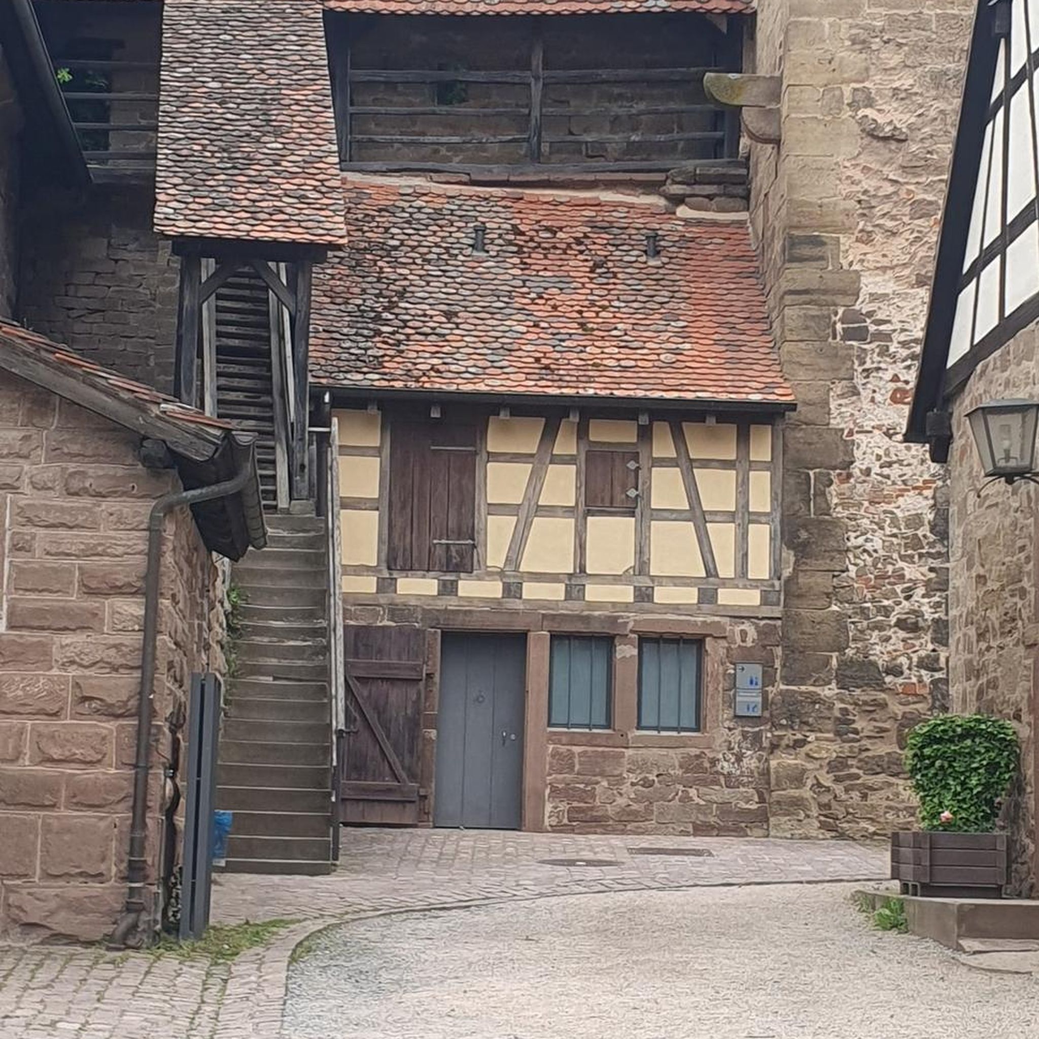
Gravel biking in Perlenbach-Fuhrtsbachtal-Talsystem
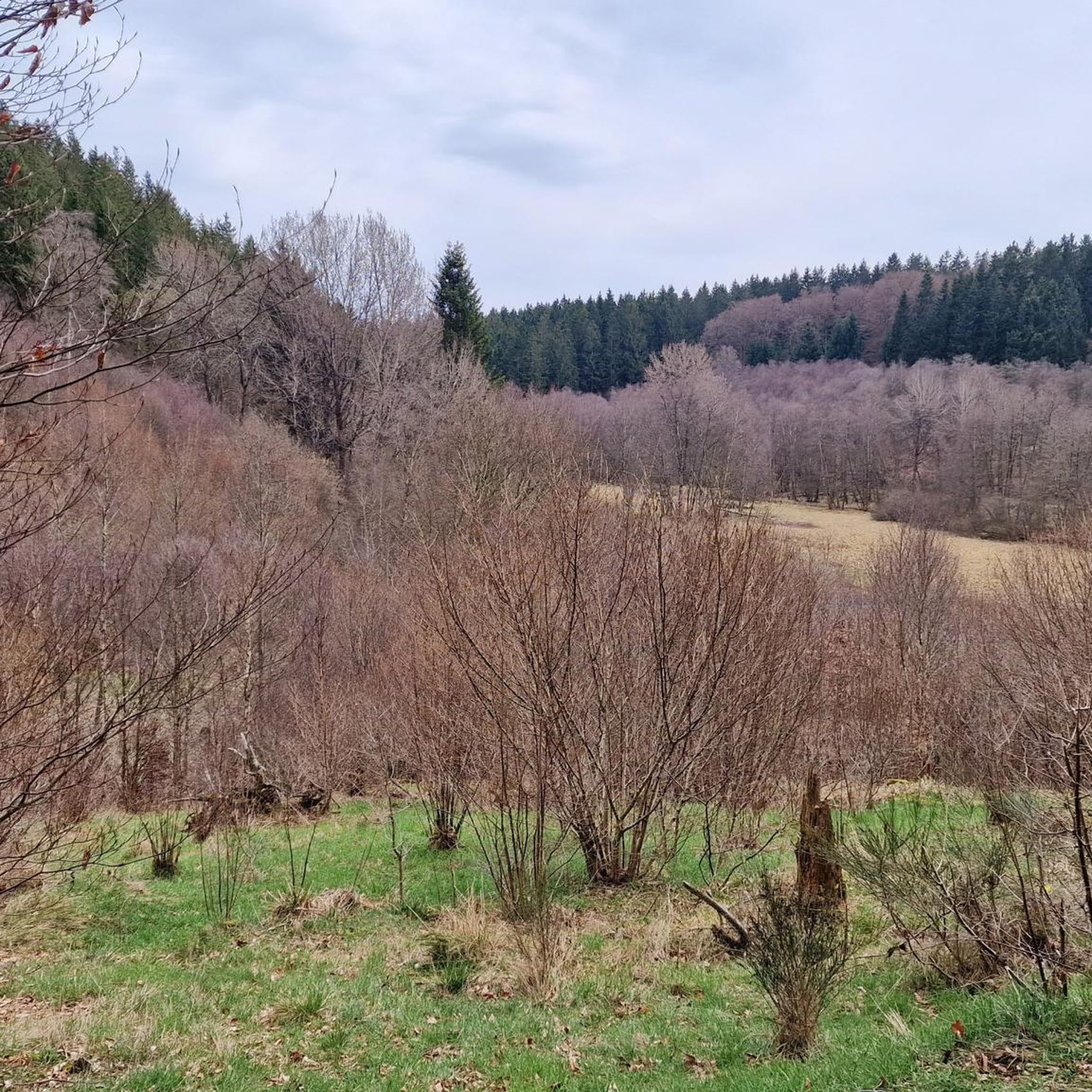
Hiking in Perlenbach-Fuhrtsbachtal-Talsystem
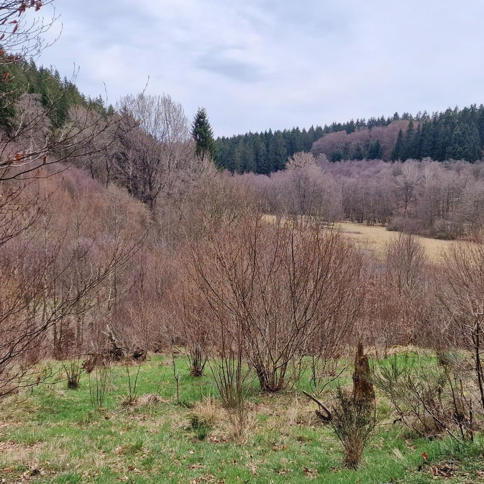
MTB Trails in Perlenbach-Fuhrtsbachtal-Talsystem
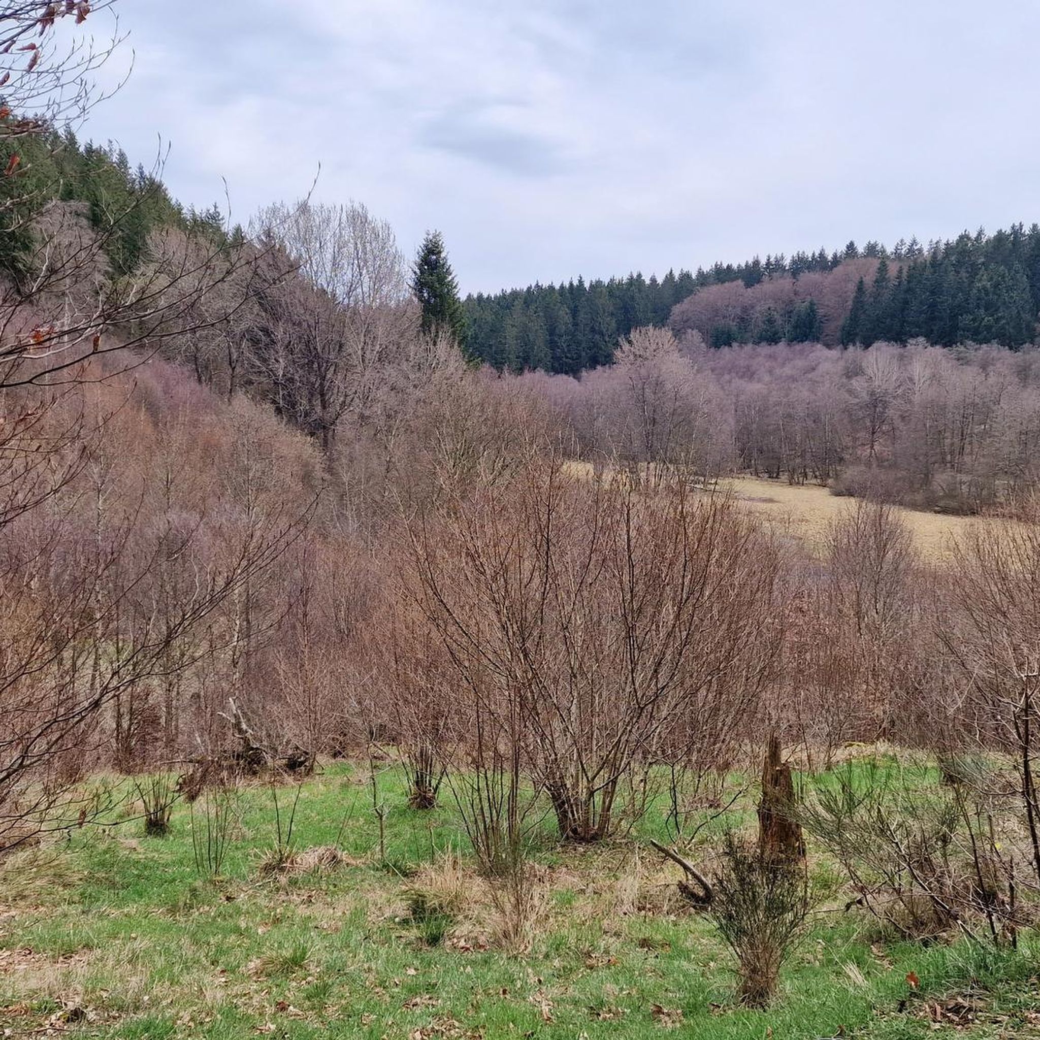
Road Cycling Routes in Perlenbach-Fuhrtsbachtal-Talsystem
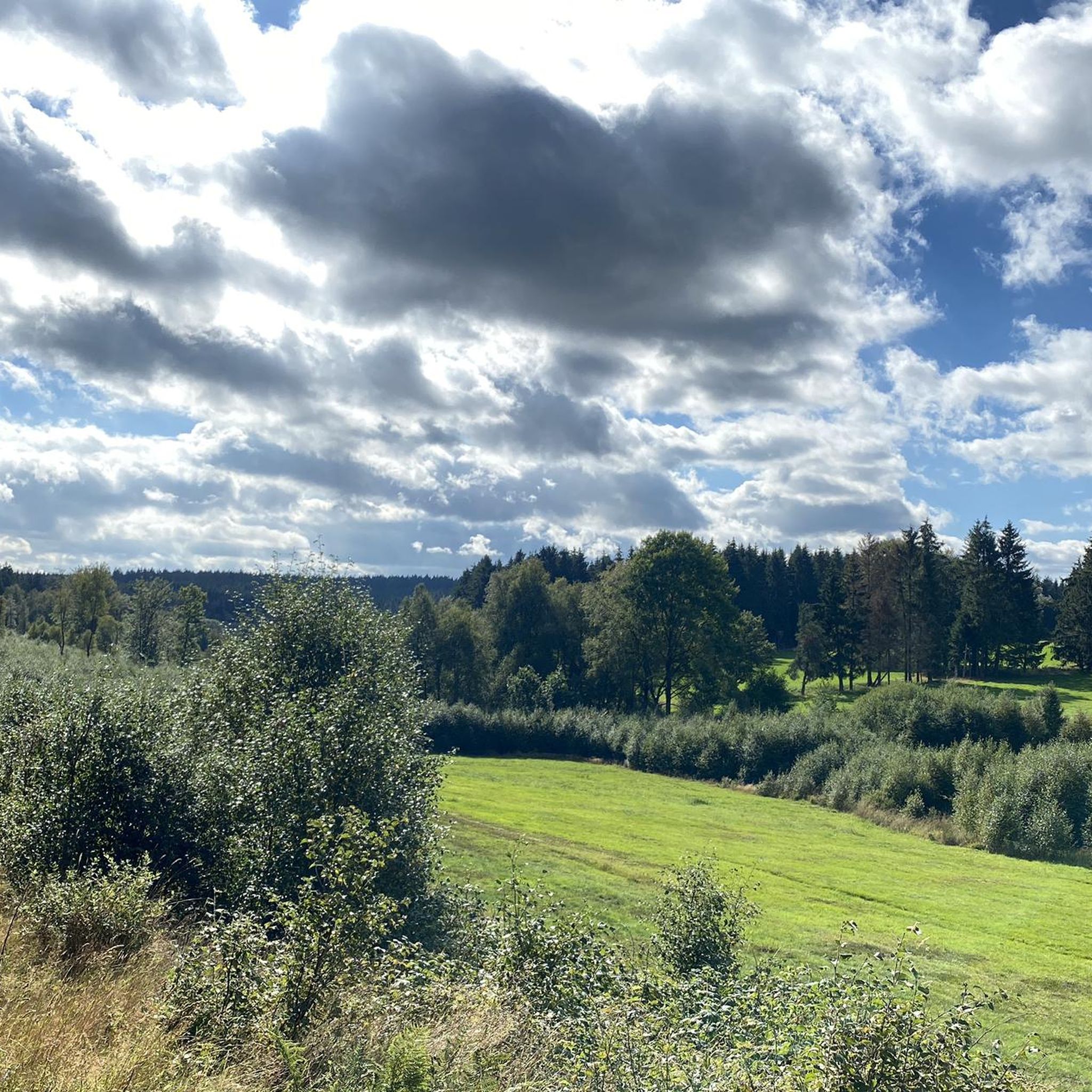
Running Trails in Perlenbach-Fuhrtsbachtal-Talsystem
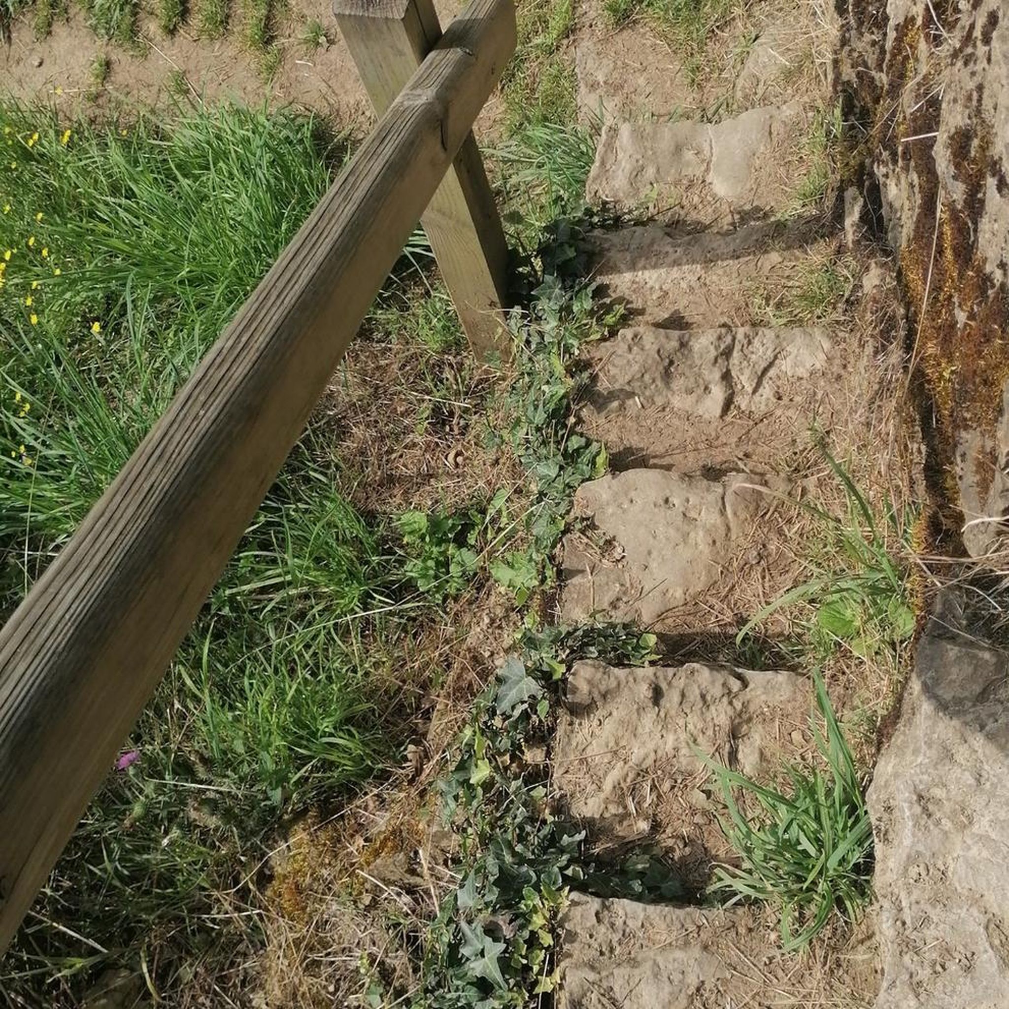
Mountain Hikes in Perlenbach-Fuhrtsbachtal-Talsystem
Tips from the Community

A really nice section on the Vennbahnradweg
1
0

Directly at Bütgenbach, the river is dammed into the large Bütgenbach reservoir, a popular center for water sports and hikers.
0
0


From here, we have a beautiful view of the Obersee of the Rurtalsperre.
2
0


Fun wind chime fitting for the path
0
0
Frequently Asked Questions
How many touring cycling routes are available in Perlenbach-Fuhrtsbachtal-Talsystem?
There are over 400 touring cycling routes in the Perlenbach-Fuhrtsbachtal-Talsystem, offering a wide range of options for different skill levels and preferences.
What is the best time of year to go touring cycling in the Perlenbach-Fuhrtsbachtal-Talsystem?
The most spectacular time to visit is from late March to mid-May, when over 10 million wild yellow daffodils transform the valleys into a vibrant 'ocean of yellow'. The lush greenery and cool atmosphere during spring and summer also make it ideal for cycling.
What kind of natural features and landmarks can I expect to see while cycling?
The region is rich in natural beauty. You can explore the scenic Fuhrtsbach Valley, witness the stunning Wild Daffodil Meadows in Perlenbachtal, and visit the serene South Shore of the Perlenbach Reservoir. The Confluence of the Fuhrtsbach and the Perlenbach is another notable spot.
Are there any family-friendly touring cycling routes in the Perlenbach-Fuhrtsbachtal-Talsystem?
Yes, the area offers routes suitable for families. While specific family-designated touring routes aren't highlighted, the region has easy to moderate paths. The Perlenbach Root Trail and the Fuhrtsbach Valley loop are generally accessible, and the Kölschkier Forest Adventure Course provides an interactive experience for children.
What are the difficulty levels of the touring cycling routes?
The routes in Perlenbach-Fuhrtsbachtal-Talsystem cater to various fitness levels, with options for easy, moderate, and difficult abilities. Approximately 80 routes are considered easy, 160 are moderate, and 160 are difficult, ensuring there's a challenge for everyone.
Are there any circular touring cycling routes in Perlenbach-Fuhrtsbachtal-Talsystem?
Yes, many routes are designed as loops. For example, the Southern End of the Obersee – Obersee at Einruhr loop offers a scenic circular tour, and the Oleftal Reservoir – Monschau Old Town loop provides another excellent option.
What do other touring cyclists enjoy most about cycling in Perlenbach-Fuhrtsbachtal-Talsystem?
The area is highly rated by the komoot community, with an average score of 4.6 stars from over 6,600 reviews. Cyclists often praise the varied terrain, the beautiful Perlenbach and Fuhrtsbach valleys, and the overall natural environment, especially during the daffodil blossom.
Can I bring my dog on the touring cycling trails?
While the Perlenbach-Fuhrtsbachtal-Talsystem is a nature reserve, dogs are generally permitted on trails, but it's crucial to keep them on a leash to protect the diverse wildlife and plant species. Always respect local signage and regulations.
Are there places to eat or stay near the cycling routes?
The region offers various options for refreshments and accommodation. While specific cafes or pubs directly on the trails are limited, nearby towns like Monschau provide a range of restaurants, cafes, and guesthouses for cyclists.
How long do the touring cycling routes typically take to complete?
Route durations vary significantly based on distance and difficulty. For instance, the Historic Center of Monschau – Monschau Old Town loop can be completed in about 1 hour 50 minutes, while longer routes like the Southern End of the Obersee – Monschau Old Town loop might take over 3 hours 20 minutes.
Is public transport available to reach the cycling routes, and can I bring my bike?
Public transport options to the Perlenbach-Fuhrtsbachtal-Talsystem exist, connecting from larger towns in the Aachen region. Availability of bike carriage on buses or trains can vary, so it's advisable to check with the local transport providers beforehand for specific routes and regulations.
What are some of the longer touring cycling routes for experienced cyclists?
Experienced cyclists can enjoy challenging routes such as the Southern End of the Obersee – Monschau Old Town loop, which covers 30.0 miles (48.2 km) with significant elevation changes. Another demanding option is the Kleiner Püngelbachweiher – Perlenbachtal loop, spanning 32.7 km.
Most popular routes in Perlenbach-Fuhrtsbachtal-Talsystem
Most popular attractions in Perlenbach-Fuhrtsbachtal-Talsystem

Get inspired with the komoot mobile app


Explore more
Browse the best Cycling routes in other regions.
