Donken In Den Niederungen Von Niers, Niersgraben Und Nette
Donken In Den Niederungen Von Niers, Niersgraben Und Nette
The best walks and hikes in Donken In Den Niederungen Von Niers, Niersgraben Und Nette
4.5
(16220)
56,584
hikers
1,173
hikes
Hiking trails in Donken In Den Niederungen Von Niers, Niersgraben Und Nette are characterized by the lowlands and floodplains of the Niers and Nette rivers. The terrain features gentle river meanderings, meadows, and small forests, creating a diverse environment. This region, part of the Naturpark Schwalm-Nette, includes the unique "Donken" or low-lying areas. The confluence of the Niers and Nette near Wachtendonk is a notable natural landmark.
Best hiking trails in Donken In Den Niederungen Von Niers, Niersgraben Und Nette
…Last updated: November 4, 2026
4.7
(105)
364
hikers
3.18km
00:48
0m
0m
Easy hike. Easily walkable paths.
4.3
(66)
248
hikers
7.77km
01:57
10m
10m
Easy hike. Easily walkable paths.

4.5
(32)
119
hikers
Moderate hike. Good fitness required. Easily walkable paths.
4.4
(318)
894
hikers
Moderate hike. Good fitness required. Easily walkable paths.
4.6
(50)
186
hikers
Easy hike. Easily walkable paths.
Get access to more routes and recommendations from other explorers.
Already have an account?
Our route recommendations are based on thousands of hikes, rides, and runs completed by other people on komoot.
Start today with a free account
Your next adventure awaits.
Popular around Donken In Den Niederungen Von Niers, Niersgraben Und Nette
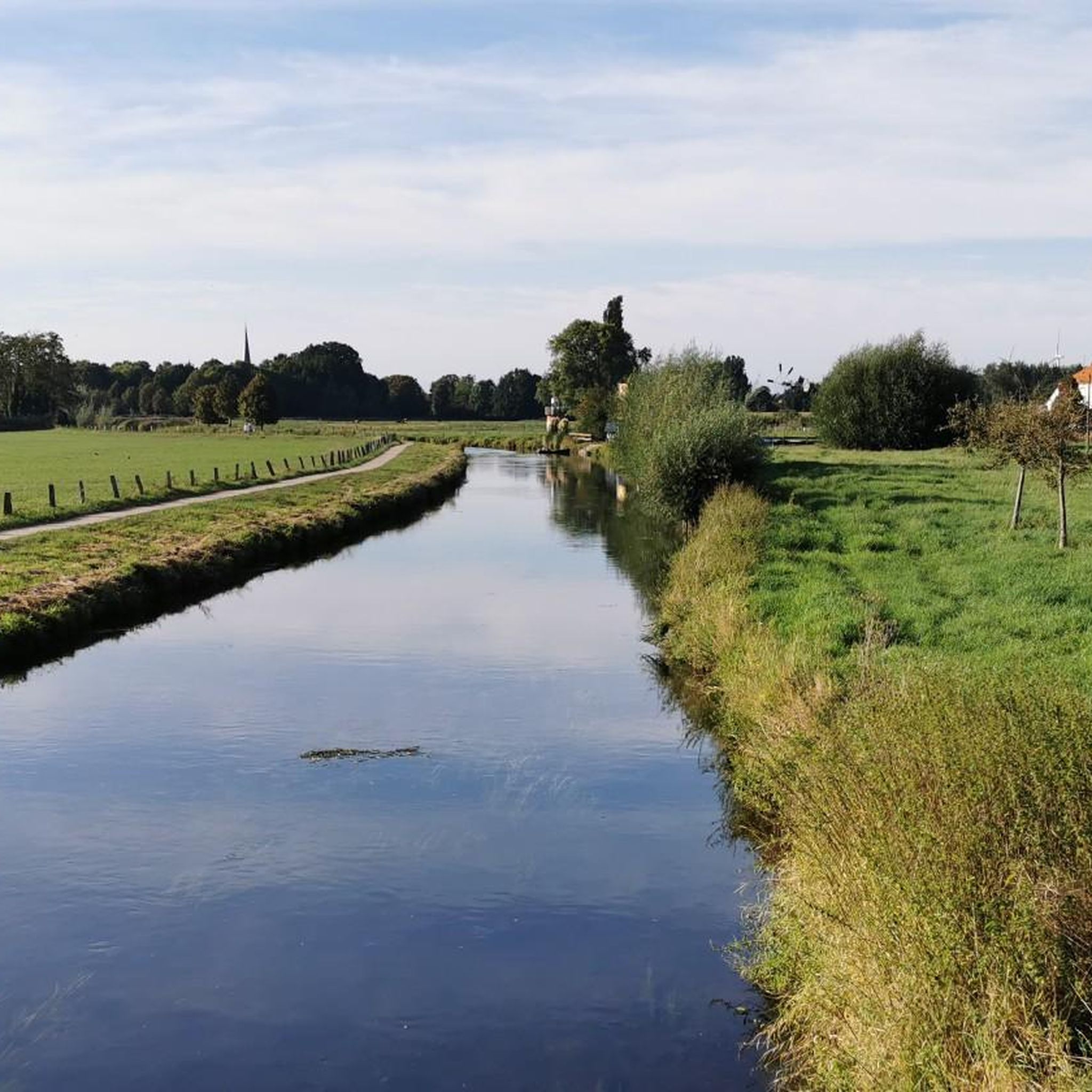
Cycling in Donken In Den Niederungen Von Niers, Niersgraben Und Nette
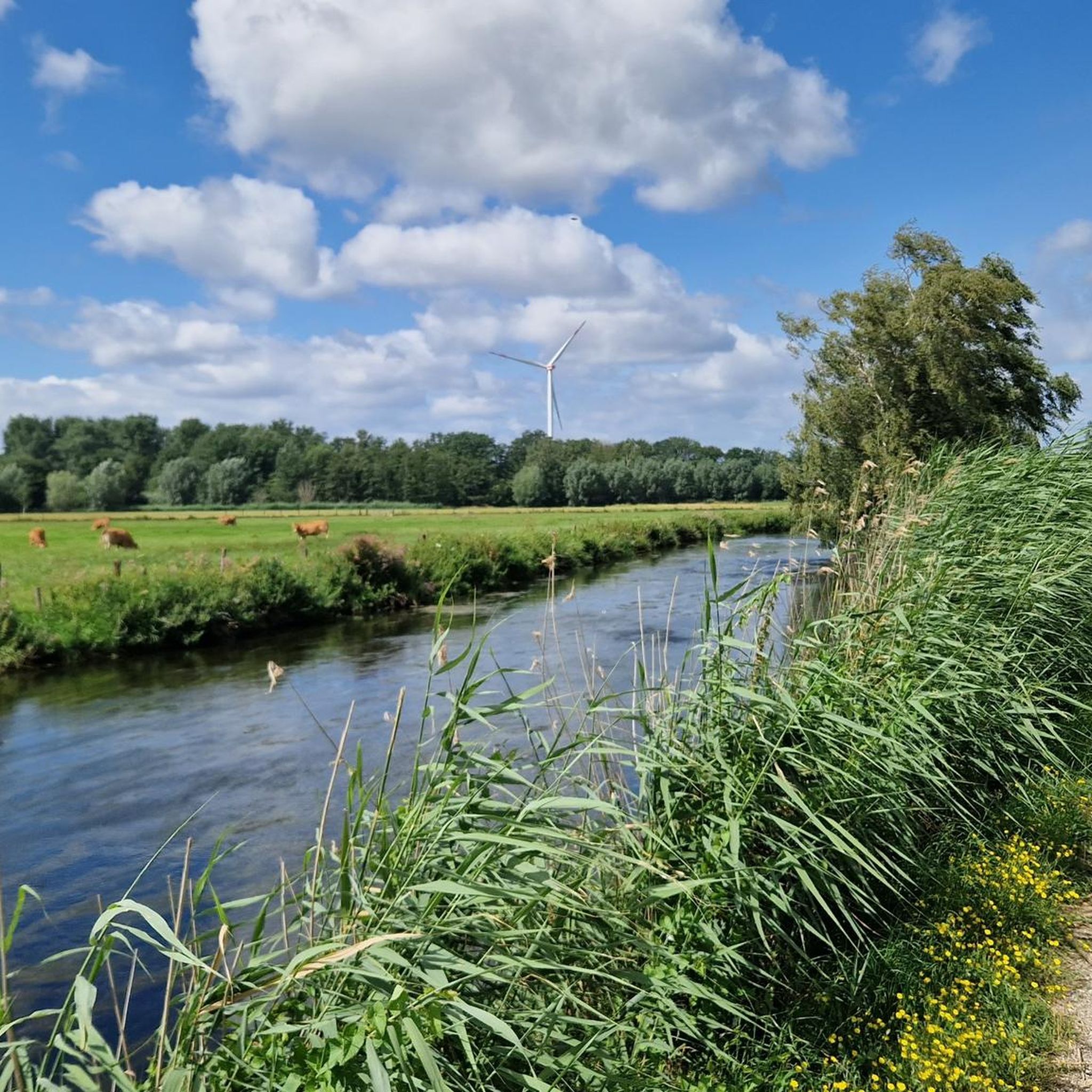
Running Trails in Donken In Den Niederungen Von Niers, Niersgraben Und Nette
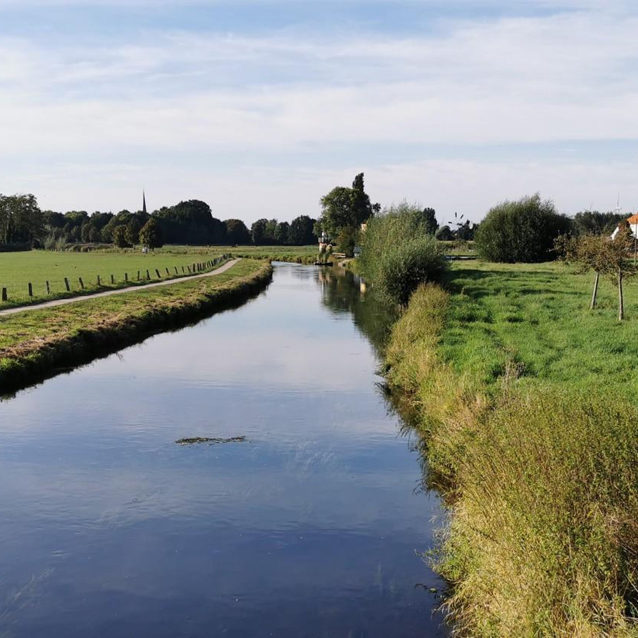
Road Cycling Routes in Donken In Den Niederungen Von Niers, Niersgraben Und Nette

Gravel biking in Donken In Den Niederungen Von Niers, Niersgraben Und Nette
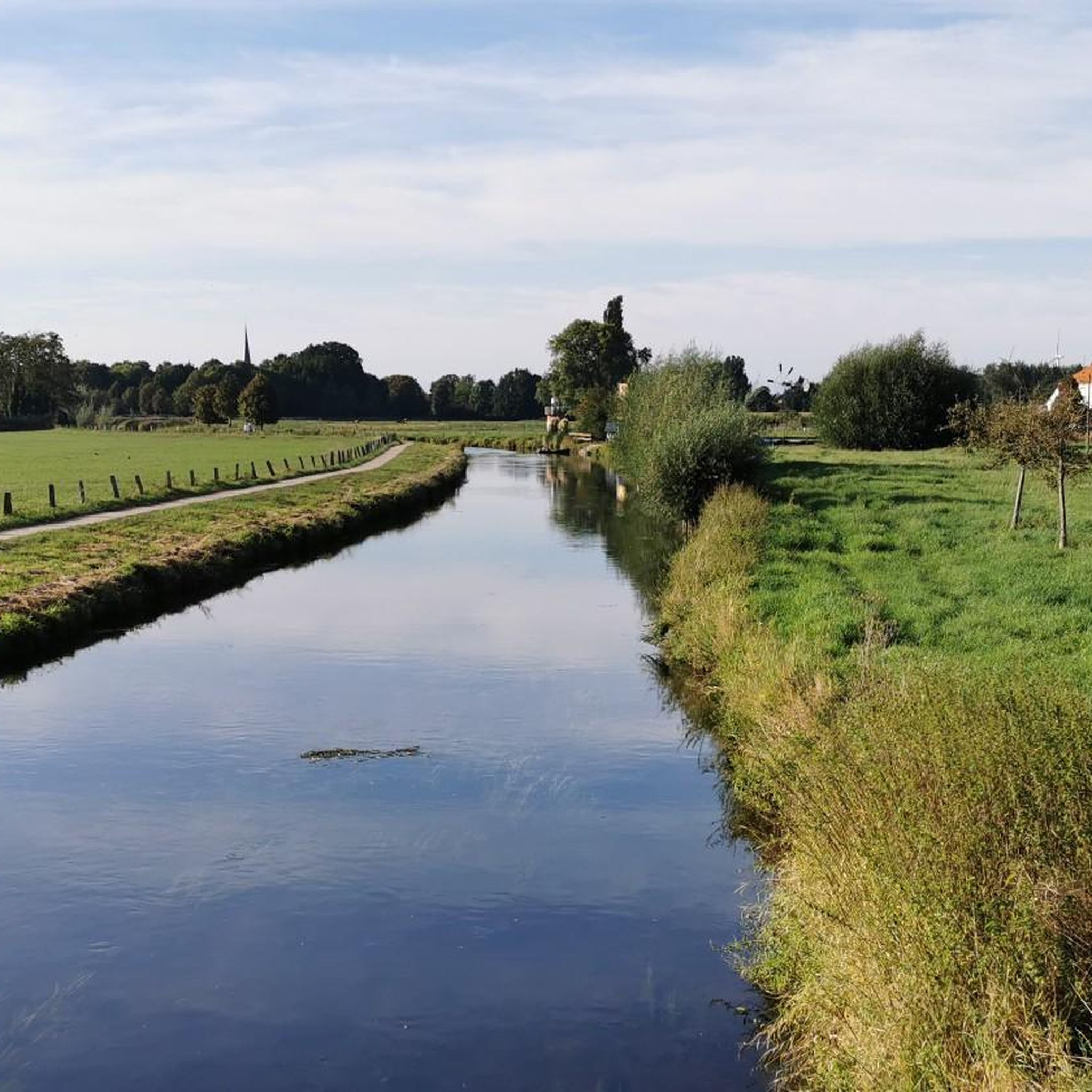
MTB Trails in Donken In Den Niederungen Von Niers, Niersgraben Und Nette
Tips from the Community

When you think of Wachtendonk, you usually only think of the Niers river, but the Nette river is also beautiful to look at here.
1
0

Almost close to nature.
0
0

Beautiful piece of nature
1
0
A town/village with really beautiful buildings.
2
0
beautiful piece of nature here.
2
0
Beautiful piece of nature.
2
0

great area we recommend 👊 will come again no question
0
0

From this place, the Niers and Nette flow together until they confluence with the Meuse.
7
0
Frequently Asked Questions
How many hiking trails are there in Donken In Den Niederungen Von Niers, Niersgraben Und Nette?
The region offers a vast network of over 1100 hiking trails. This includes more than 800 easy routes, 300 moderate options, and a few more challenging paths, ensuring there's something for every skill level.
Are there easy hiking trails suitable for beginners or families in this region?
Yes, the area is particularly well-suited for easy hikes. A great option is the Adventure Path South - Easy.Hiking.World, a 3.2 km trail in Wachtendonk that is largely free of inclines and accessible. Another excellent choice is the Wachtendonk Castle Ruins – Bench with a View of the Niers loop from Wachtendonk, an easy 5.4 km loop that offers historical sights.
What points of interest or attractions can I explore along the trails?
The region is rich in natural and historical sights. You can explore the historic Kempener Boundary Stone Trail – Historic Border 1786, enjoy the scenic Niers Riverside Trail, or visit the Holleshof Adventure Farm and Lighthouse on the Niers. The confluence of the Niers and Nette rivers near Wachtendonk also features a "Wasser.Blick" platform, offering picturesque views and historical significance.
What kind of wildlife can I expect to see while hiking in Donken In Den Niederungen Von Niers, Niersgraben Und Nette?
The region is a haven for diverse wildlife, especially birds. Along the Niers, you can observe numerous waterfowl like mute swans, mallards, and coots. In the surrounding grasslands, grey herons and geese are common, and if you're lucky, you might spot a lapwing or even a white stork, which have returned due to successful renaturation efforts. Woodland areas are home to woodpeckers, and black redstarts can be seen on fences.
Are there circular hiking routes available in the area?
Yes, many routes in the region are designed as circular paths, allowing you to start and end at the same point. For example, the Path Along the Niers – Mariendonk Abbey loop from NSG Altbuchen an Harbes Hof is a moderate 11.1 km loop that takes you through varied landscapes. The Wachtendonk Castle Ruins – Bench with a View of the Niers loop from Wachtendonk is another popular easy circular option.
What is the typical duration of hikes in Donken In Den Niederungen Von Niers, Niersgraben Und Nette?
Hikes in this region vary in duration. Shorter, easy trails like the Adventure Path South - Easy.Hiking.World can be completed in under an hour. Moderate routes, such as the Experience Path North (Alternative route with Wankum) - Easy.Hiking.World, typically take around 2 hours and 20 minutes for 9.2 km. Longer routes can extend to 3-4 hours or more, depending on the distance and your pace.
What do other hikers enjoy most about the trails in Donken In Den Niederungen Von Niers, Niersgraben Und Nette?
The trails in Donken In Den Niederungen Von Niers, Niersgraben Und Nette are highly rated by the komoot community, with an average score of 4.5 stars from over 14,000 reviews. Hikers frequently praise the gentle river valleys, the peaceful meadows, and the diverse natural environment, especially the interplay of the Niers and Nette rivers. The well-maintained paths and opportunities for wildlife spotting are also often highlighted.
Can I bring my dog on the hiking trails?
Yes, the natural landscapes of Donken In Den Niederungen Von Niers, Niersgraben Und Nette are generally very dog-friendly. Most trails are suitable for walks with your canine companion, but it's always advisable to keep dogs on a leash, especially in nature reserve areas or near wildlife, and to respect local signage.
What is the best time to hike in Donken In Den Niederungen Von Niers, Niersgraben Und Nette?
The region is beautiful year-round, but spring and autumn are particularly pleasant for hiking. In spring, the meadows are lush and wildflowers bloom, while autumn offers vibrant foliage. Summer is also great, especially along the shaded riverbanks. Even in winter, the lowlands offer serene, crisp walks, though some paths might be muddy.
Where can I find parking for hiking trails in the region?
Parking is generally available near popular trailheads and in the towns and villages throughout the region, such as Wachtendonk. Many routes, like the Experience Path North - Easy.Hiking.World, start from accessible points where parking is typically provided or easily found nearby.
Is it possible to reach hiking trails by public transport?
While many trails are best accessed by car, some areas and towns within the region, like Wachtendonk, are served by local bus routes. It's recommended to check local public transport schedules and connections to specific trailheads in advance if you plan to rely on public transport.
Most popular routes in Donken In Den Niederungen Von Niers, Niersgraben Und Nette
Most popular attractions in Donken In Den Niederungen Von Niers, Niersgraben Und Nette

Get inspired with the komoot mobile app


Explore more
Browse the best Hikes in other regions.
