Donken In Den Niederungen Von Niers, Niersgraben Und Nette
Donken In Den Niederungen Von Niers, Niersgraben Und Nette
The best running trails in Donken In Den Niederungen Von Niers, Niersgraben Und Nette
4.5
(583)
7,758
runners
657
runs
Jogging in Donken In Den Niederungen Von Niers, Niersgraben Und Nette offers routes through tranquil, pastoral scenery. The region is characterized by flat terrain and quiet roads that wind past farms and fields. Riverine landscapes along the Niers, Niersgraben, and Nette rivers provide refreshing environments for running. The broader Lower Rhine region, where Donken is located, is known for its natural beauty and well-maintained paths.
Best jogging routes in Donken In Den Niederungen Von Niers, Niersgraben Und Nette
- The most…
Last updated: November 8, 2026
4.5
(2)
50
runners
Moderate run. Good fitness required. Mostly paved surfaces.
4.5
(4)
27
runners
10.5km
01:05
10m
10m
Moderate run. Good fitness required. Mostly paved surfaces.

4.9
(16)
24
runners
12.6km
01:18
10m
10m
Moderate run. Good fitness required. Mostly paved surfaces.
18
runners
Moderate run. Good fitness required. Mostly paved surfaces.
4.2
(33)
16
runners
Moderate run. Good fitness required. Mostly paved surfaces.
Get access to more routes and recommendations from other explorers.
Already have an account?
Our route recommendations are based on thousands of hikes, rides, and runs completed by other people on komoot.
Start today with a free account
Your next adventure awaits.
Popular around Donken In Den Niederungen Von Niers, Niersgraben Und Nette
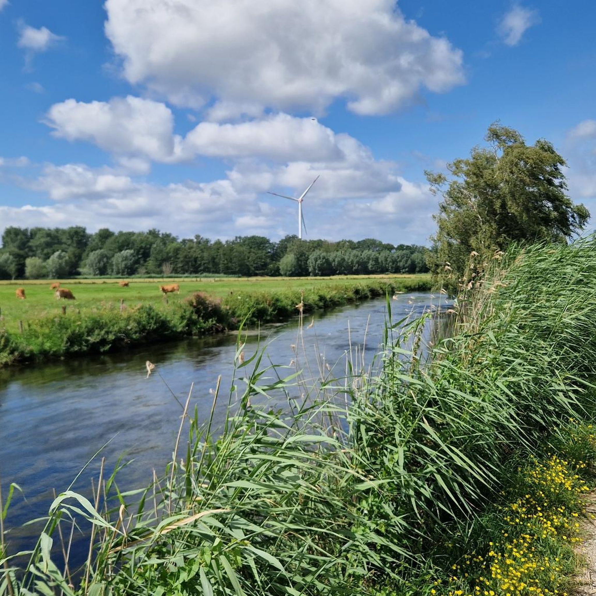
Hiking in Donken In Den Niederungen Von Niers, Niersgraben Und Nette
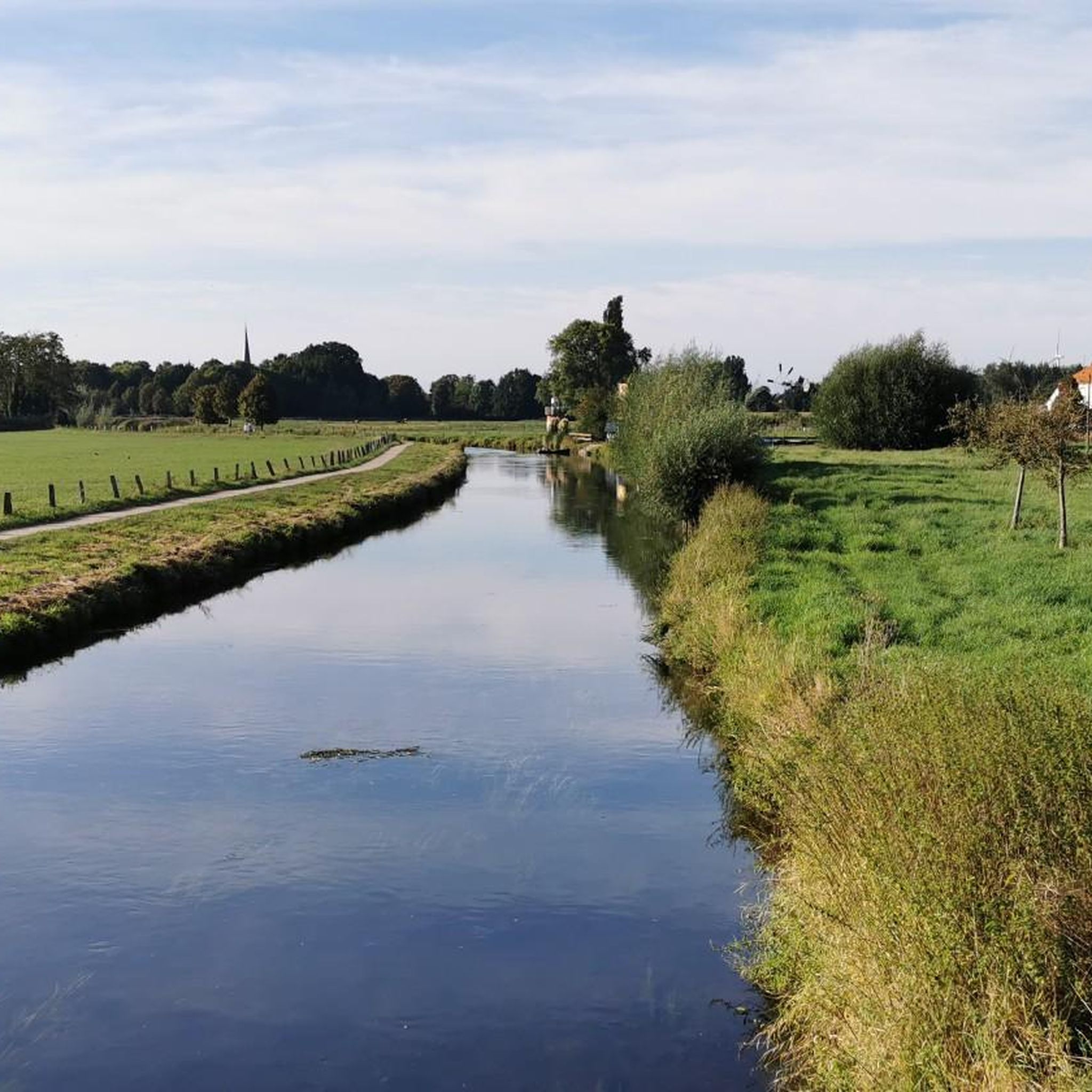
Cycling in Donken In Den Niederungen Von Niers, Niersgraben Und Nette
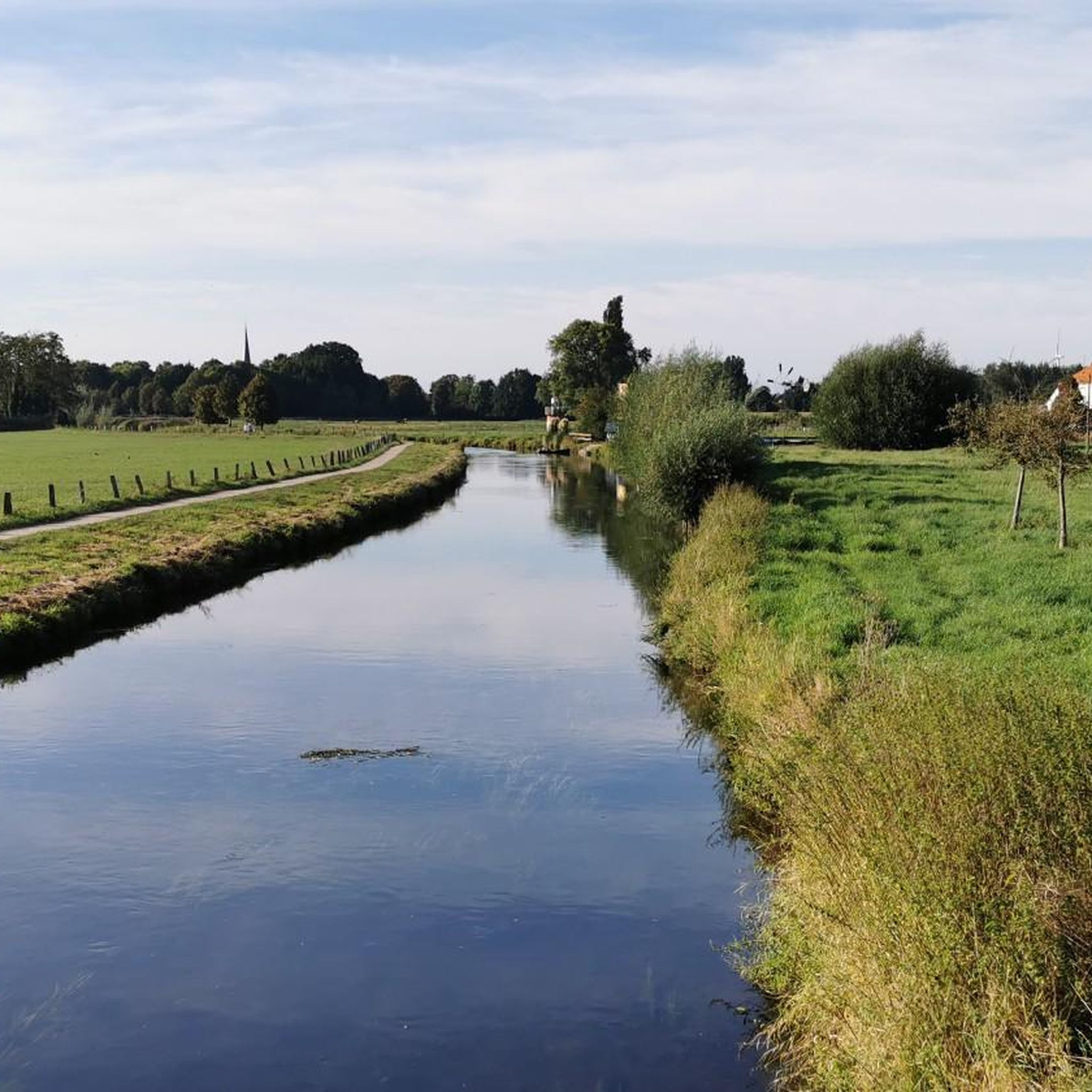
Road Cycling Routes in Donken In Den Niederungen Von Niers, Niersgraben Und Nette

Gravel biking in Donken In Den Niederungen Von Niers, Niersgraben Und Nette
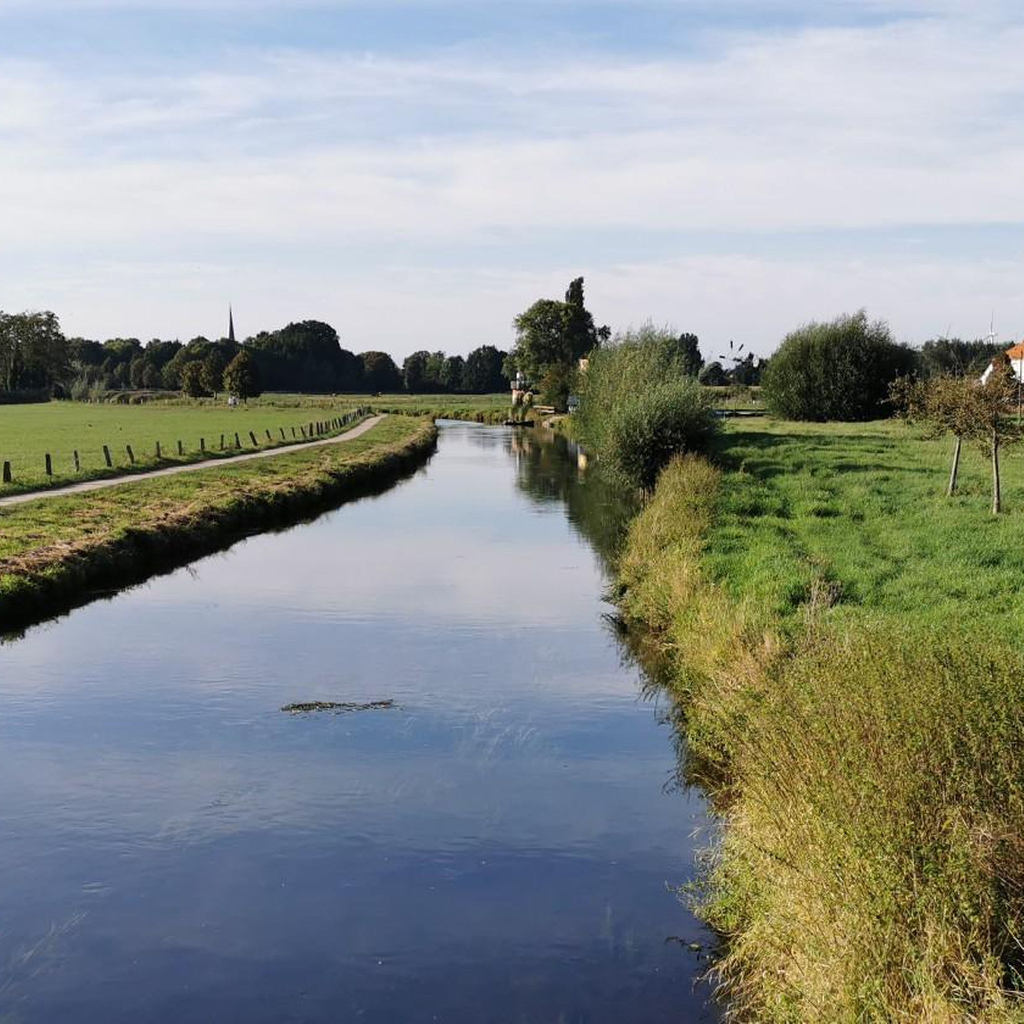
MTB Trails in Donken In Den Niederungen Von Niers, Niersgraben Und Nette
Tips from the Community

Many good and well-maintained gravel paths.
0
0
Nice little spot with seating.
0
0

The former bridge from 1901 over the Niers still dates from the Geldrische Kreisbahn. Today, the narrow bridge serves as a crossing.
1
0

A nice little bridge over the Niers in Wachtendonk
0
0
A bridge near the self-service ferry
0
0
Frequently Asked Questions
How many running routes are available in Donken In Den Niederungen Von Niers, Niersgraben Und Nette?
There are over 650 running routes in the Donken In Den Niederungen Von Niers, Niersgraben Und Nette region. These routes cater to various fitness levels, from easy paths to more challenging trails, ensuring a diverse experience for all runners.
What kind of terrain can I expect on the jogging routes in this region?
The region is characterized by its tranquil, pastoral scenery with predominantly flat terrain. You'll find quiet roads winding past farms and fields, as well as scenic paths along the Niers, Niersgraben, and Nette rivers. Many routes feature well-maintained, paved surfaces, making for a comfortable running experience.
Are there any easy running routes suitable for beginners or a relaxed jog?
Yes, the area offers 81 easy running routes. These paths are generally flat and well-maintained, perfect for beginners or those looking for a relaxed jog through the scenic riverine landscapes and fields. An example of a moderate route that is still very accessible is the Wachtendonk Castle Ruins – Nette River loop from Wachtendonk, which is 6.8 km long.
What are some notable natural features or landmarks I can see while running?
The running routes often follow the Niers, Niersgraben, and Nette rivers, offering refreshing environments. You can also explore historical sites like the Kempener Boundary Stone Trail – Historic Border 1786 (Station 3 Neersdonnermühle) or the Langenfeld House. The Niers Riverside Trail is a popular highlight for its scenic views.
Are there any circular running routes in Donken In Den Niederungen Von Niers, Niersgraben Und Nette?
Yes, many of the running routes in the region are circular, allowing you to start and finish at the same point. For instance, the Boat Rental on the Niers – Fairy Tale Trail loop from Wachtendonk is a 9.1 km circular route that takes you through diverse scenery.
What do other runners say about the routes in this area?
The running routes in Donken In Den Niederungen Von Niers, Niersgraben Und Nette are highly rated by the komoot community, with an average score of 4.5 stars from over 500 reviews. Runners often praise the tranquil pastoral scenery, the well-maintained paths, and the refreshing riverine landscapes.
Are the running trails in Donken In Den Niederungen Von Niers, Niersgraben Und Nette suitable for families?
Yes, the flat terrain and well-maintained paths make many routes suitable for families. The region's quiet roads and scenic riverbanks provide a pleasant environment for a family jog or walk. Look for the 'easy' graded routes for the most family-friendly options.
Can I bring my dog on the running routes?
While specific regulations for dogs can vary, the natural and open character of the Donken In Den Niederungen Von Niers, Niersgraben Und Nette region generally welcomes dogs. It's always recommended to keep your dog on a leash, especially near farms, wildlife, or other visitors, and to clean up after them.
Is there public transport access to the running trails?
The historic town center of Wachtendonk serves as a good starting point for many routes, and public transport options to Wachtendonk are available. From there, you can easily access various trails along the Niers and Nette rivers. It's advisable to check local bus schedules for specific access points.
Are there places to park near the running routes?
Yes, parking is generally available in and around the towns and villages that serve as access points to the trails, such as Wachtendonk. Many routes start from locations where parking facilities are provided, making it convenient for runners arriving by car.
What is the best time of year to go running in Donken In Den Niederungen Von Niers, Niersgraben Und Nette?
The region is beautiful year-round. Spring and autumn offer pleasant temperatures and vibrant natural colors, while summer provides lush green landscapes. Even in winter, the well-maintained paths can be suitable for running, though some riverine paths might be affected by seasonal flooding, so checking local conditions is always a good idea.
Are there any cafes or restaurants near the running routes?
Yes, the historic town center of Wachtendonk, which is a common starting point for many routes, offers various cafes and restaurants where you can refuel after your run. You'll find options for refreshments and meals to complete your outdoor experience.
Most popular routes in Donken In Den Niederungen Von Niers, Niersgraben Und Nette
Most popular attractions in Donken In Den Niederungen Von Niers, Niersgraben Und Nette

Get inspired with the komoot mobile app


Explore more
Browse the best Running Trails & Routes in other regions.
