The best running trails in Ontginningslandschap De Maatjes
4.3
(125)
7,168
runners
477
runs
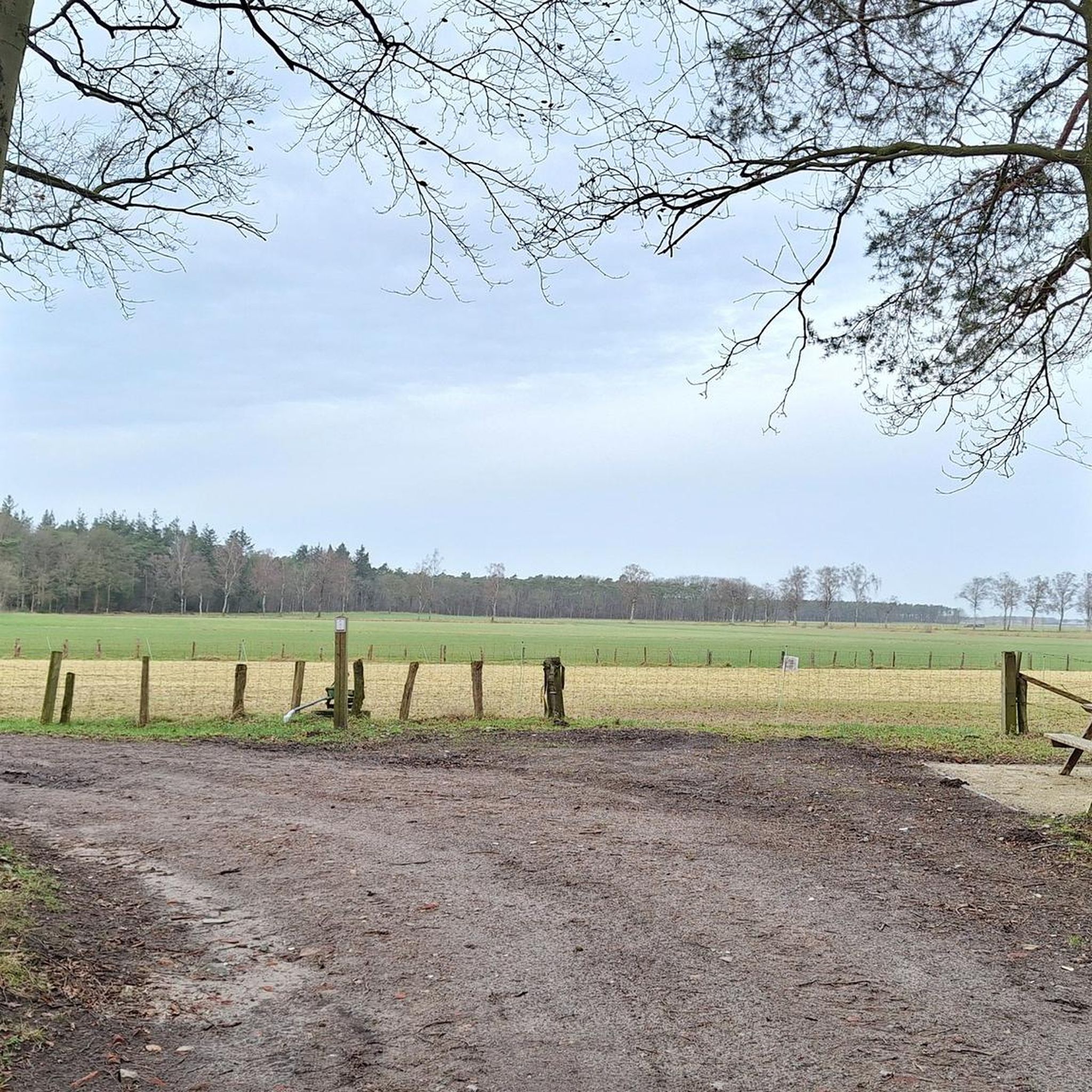
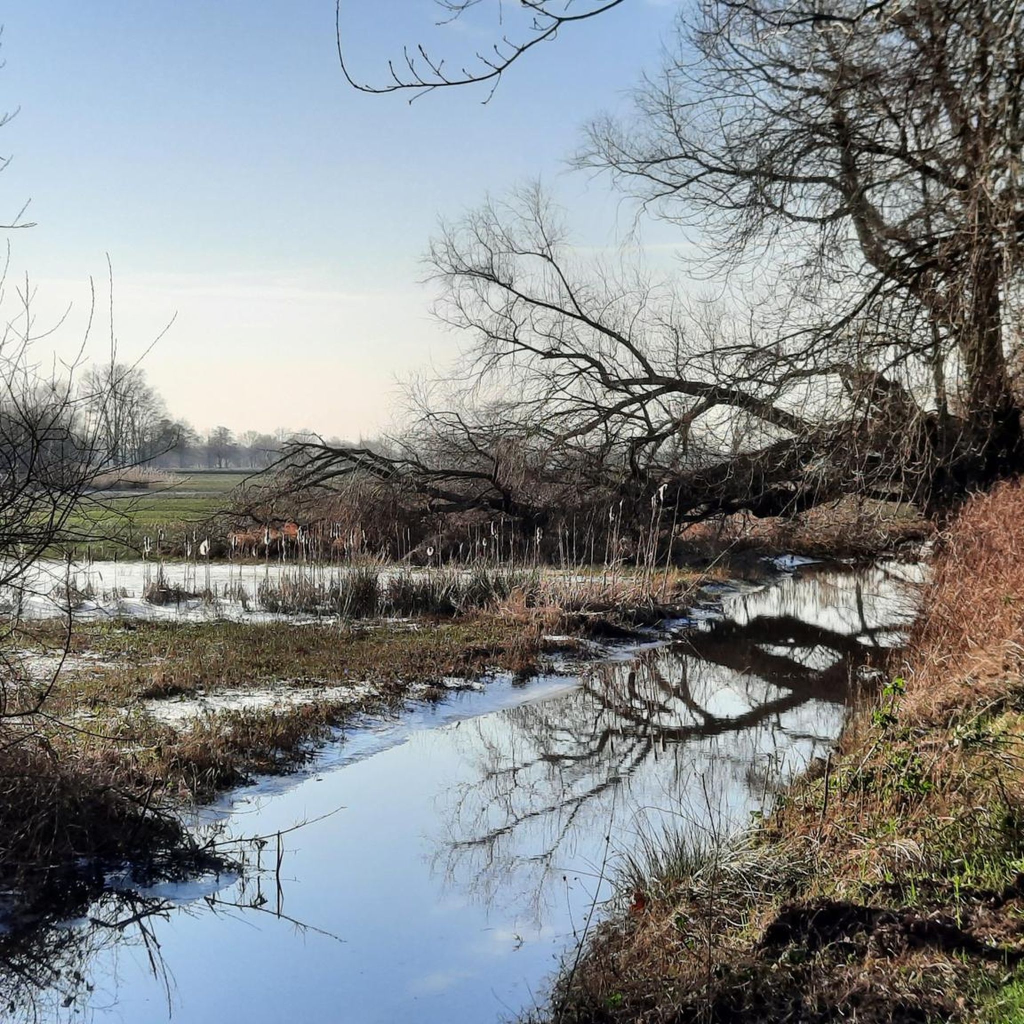
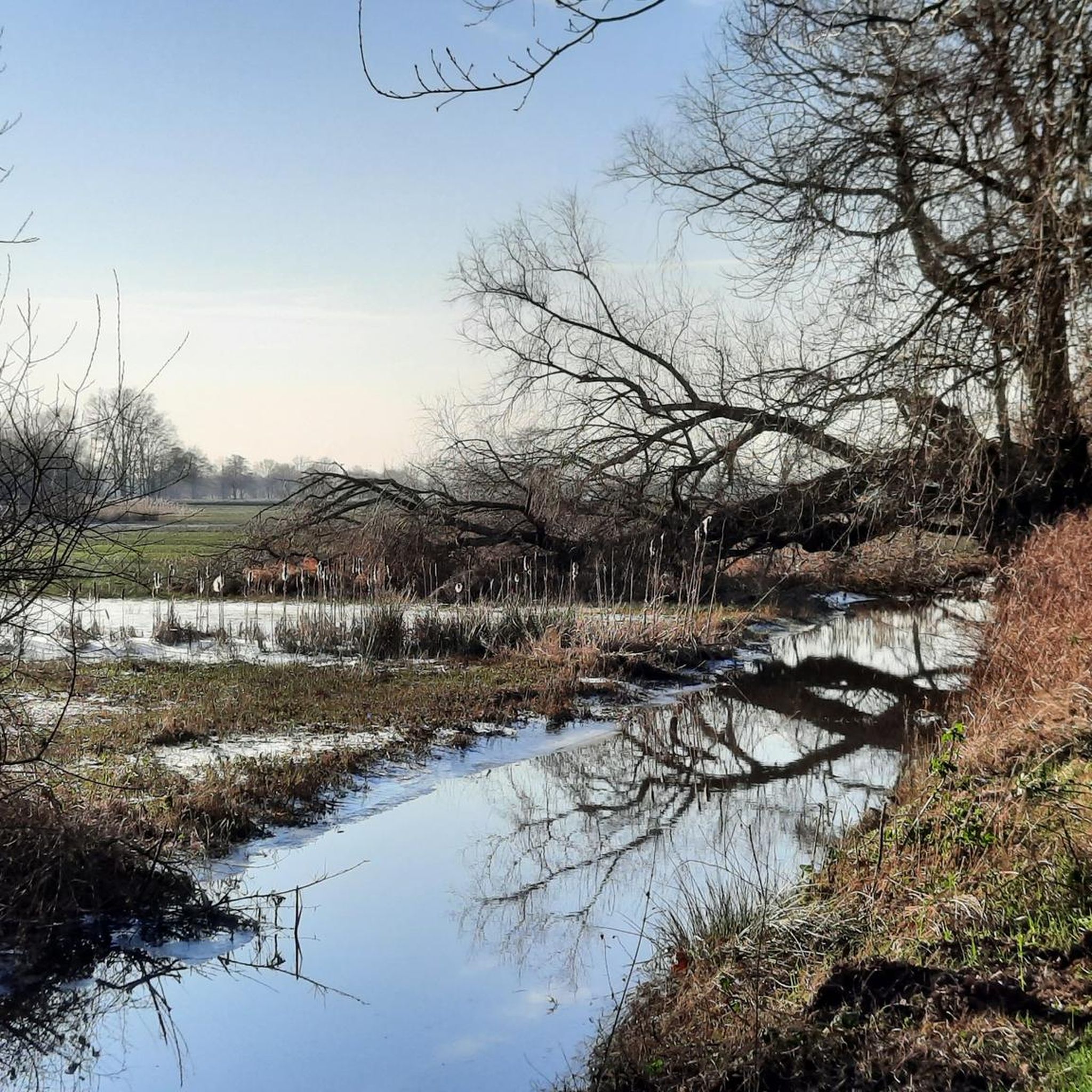
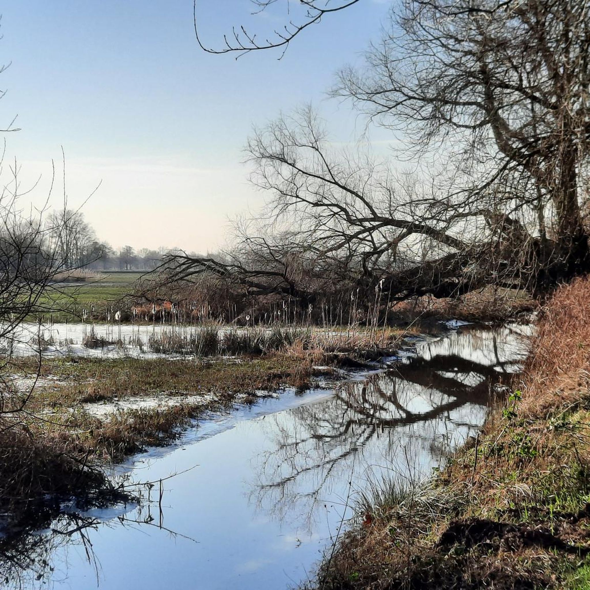
Jogging in Ontginningslandschap De Maatjes offers routes through a landscape shaped by historical turf extraction, featuring marshes, reed beds, and wet meadows. The area is characterized by a small-scale landscape structure, rich in linear elements and structured grasslands. Paths traverse diverse natural habitats, including wet areas and swamp forests, known locally as "broekbosjes." This region provides a network of running routes across varied terrain.
Best jogging routes in Ontginningslandschap De Maatjes
- The most popular jogging route is Running loop from…
Last updated: July 8, 2026
4.0
(1)
14
runners
5.54km
00:37
0m
0m
Moderate run. Good fitness required. Mostly paved surfaces. Suitable for all skill levels.
11
runners
12.0km
01:19
10m
10m
Moderate run. Good fitness required. Mostly paved surfaces. Suitable for all skill levels.

Sign up for free
12
runners
8.39km
00:54
10m
10m
Moderate run. Good fitness required. Mostly paved surfaces. Suitable for all skill levels.
5
runners
Moderate run. Good fitness required. Mostly paved surfaces. Suitable for all skill levels.
4
runners
5.60km
00:35
10m
0m
Moderate run. Good fitness required. Mostly paved surfaces. Suitable for all skill levels.
Get access to more routes and recommendations from other explorers.
Sign up for free
Already have an account?
Our route recommendations are based on thousands of hikes, rides, and runs completed by other people on komoot.
Start today with a free account
Your next adventure awaits.
Login or Signup

Tips from the Community

Please note: the lookout tower will be accessible again after reconstruction from 27 September 2024. Nature reserve De Maatjes is a cross-border marsh reed landscape. It is largely located in the municipality of Zundert and in the Belgian municipalities of Wuustwezel and Kalmthout. A 7-metre-high lookout tower has been built near the point where the three municipalities meet, from where you can look out over the wide area. The nature reserve is of great ecological value. Nature lovers and bird watchers will therefore quickly find their way to the lookout tower. Peat extraction The name 'de Klot' refers to a lump of peat or turf. Between the years 1250 and 1750, peat was extracted here on an almost industrial scale. The peat was transported to Roosendaal, Bergen-op-Zoom, Antwerp, etc. From the lookout tower you can still see peat relics in the landscape. After peat extraction, this area spontaneously evolved into a heathland. At the beginning of the 20th century, the fertilisation of this area began. The land consolidation around 1970 gave the landscape its current appearance. From the tower, we can, as it were, show 800 years of landscape evolution. Death Wire Furthermore, plans from the First World War show that the Death Wire ran at the height of the tower. In the context of the many commemorations, a reconstruction of this wire has been placed at the foot of the tower. Various cycle routes run along the Klot and you can also walk in the area using the Dutch and Belgian walking junctions. The lookout tower is located on the corner of Sneygaertstraat and Hanne Wiewauweg. Seven information boards bring the rich history of this area to life.
4
0

Nice brasserie with a large outdoor seating area and great playground for smaller children. There's a maze during the corn season. Nice drinks and a nice menu. Relaxed atmosphere.
0
0

During the First World War, the border between occupied Belgium and the neutral Netherlands was sealed shut. The German occupiers built an unprecedented barrier of high voltage cables: the death wire no less than 450 km long. You died a horrible death at the slightest touch.
7
0
And back, you can take the stairs to the first floor but not in the tower.
9
1
Getting lost in the corn, it's something different. Free bicycles and there is a pic-nic table.
10
0

Nice place if you want to observe Lapwings and other farmland birds.
4
0

History combined with nature and great views
6
0

Reconstruction of the death wire that stood there in our war past. On the lookout tower you have a beautiful view of the beautiful surroundings in all four directions.
7
0
Frequently Asked Questions
How many running routes are available in Ontginningslandschap De Maatjes?
Ontginningslandschap De Maatjes offers a wide network of over 450 running routes. Most of these, around 380, are of moderate difficulty, with about 25 easy routes and 45 more challenging options to explore.
What kind of terrain can I expect when jogging in Ontginningslandschap De Maatjes?
The terrain in Ontginningslandschap De Maatjes is shaped by its history of turf extraction, featuring a unique blend of natural habitats. You'll jog through marshes, reed beds, and wet meadows, often encountering paths that traverse wet areas and 'broekbosjes' (swamp forests). The landscape is small-scale, rich in linear elements and structured grasslands, providing a varied and scenic experience.
Are there any interesting landmarks or viewpoints along the jogging routes?
Yes, a significant attraction is the De Klot Observation Tower, which offers panoramic views over the marshes and picturesque meadows. From here, you can also learn about the region's peat extraction history and spot various bird species. Other notable features include the De Maatjes Nature Reserve and the historical Dodendraad (Wire of Death).
What do other runners enjoy most about jogging in Ontginningslandschap De Maatjes?
The running routes in Ontginningslandschap De Maatjes are highly rated by the komoot community, with an average score of 4.3 stars from over 100 reviews. Runners often praise the diverse natural habitats, the peaceful atmosphere, and the well-maintained paths that allow for exploration of the unique historical turf-winning landscapes and reed fields.
Are there circular running routes in the area?
Yes, many of the running routes in Ontginningslandschap De Maatjes are circular, offering convenient loops to start and finish at the same point. For example, the Running loop from De Maatjes is a popular 5.6 km option, and the Running loop from Nieuwmoer provides a 7.4 km circular path.
Are the jogging routes in Ontginningslandschap De Maatjes suitable for families?
While specific family-friendly routes are not explicitly designated, the area's generally moderate difficulty and scenic, undisturbed landscape make it suitable for families looking for outdoor activity. Many routes are relatively flat, traversing diverse natural habitats that can be interesting for children. Consider shorter, easier loops for younger family members.
Can I bring my dog on the running trails?
Many nature areas in Belgium and the Netherlands, including parts of cross-border reserves like De Maatjes, typically allow dogs on a leash. However, it's always best to check local signage at trailheads or consult the official website for specific regulations regarding pets in the nature reserve to ensure a pleasant experience for everyone and protect local wildlife.
Where can I find parking for the jogging trails?
Parking facilities are generally available near the main access points to Ontginningslandschap De Maatjes. For instance, routes often start from locations like Wolfsheuvel or directly from De Maatjes, where you can typically find designated parking areas. It's advisable to check the starting point of your chosen route for the most convenient parking options.
Is public transport available to reach Ontginningslandschap De Maatjes?
While Ontginningslandschap De Maatjes is a natural area, it is generally accessible by public transport to nearby towns or villages, followed by a walk or short cycle to the reserve. For detailed and up-to-date information on bus or train connections, it's recommended to consult local public transport schedules or planning tools for the Kalmthout region.
What is the best time of year for running in Ontginningslandschap De Maatjes?
Ontginningslandschap De Maatjes offers a pleasant running experience throughout much of the year. Spring and autumn provide mild temperatures and beautiful scenery with changing foliage or blooming marsh vegetation. Summer can be warm but enjoyable, especially in the mornings or evenings. Winter running is also possible, though paths might be wetter due to the area's high water levels and marshy characteristics.
Are there cafes or pubs near the jogging routes for refreshments?
While the nature reserve itself is largely undisturbed, you can find cafes, pubs, and restaurants in the nearby villages and towns surrounding Ontginningslandschap De Maatjes. These establishments offer opportunities for refreshments and meals before or after your run. It's a good idea to plan your route to pass through or near these areas if you intend to stop for a break.
Most popular routes in Ontginningslandschap De Maatjes
Most popular attractions in Ontginningslandschap De Maatjes

Get inspired with the komoot mobile app


Explore more
Browse the best Running Trails & Routes in other regions.
