The best walks and hikes in Ontginningslandschap De Maatjes
4.4
(5995)
30,513
hikers
618
hikes
Hiking in Ontginningslandschap De Maatjes offers exploration through a unique historical landscape. The region is characterized by remnants of extensive peat extraction, visible in marshes and former wet and dry heathlands. Hikers encounter a varied terrain including structurally rich grasslands, numerous linear landscape elements, and large forest complexes. This "young heath and fen exploitation landscape" presents relatively open spaces partially enclosed by wooded areas.
Best hiking trails in Ontginningslandschap De Maatjes
- The most popular hiking route is De Klot Observation…
Last updated: October 9, 2026
4.6
(29)
89
hikers
Easy hike. Great for any fitness level. Easily-accessible paths. Suitable for all skill levels.
4.3
(16)
86
hikers
Easy hike. Great for any fitness level. Easily-accessible paths. Suitable for all skill levels.

6
hikers
Moderate hike. Good fitness required. Easily-accessible paths. Suitable for all skill levels.
4.4
(8)
31
hikers
Easy hike. Great for any fitness level. Easily-accessible paths. Suitable for all skill levels.
4.0
(4)
10
hikers
Moderate hike. Good fitness required. Easily-accessible paths. Suitable for all skill levels.
Get access to more routes and recommendations from other explorers.
Already have an account?
Our route recommendations are based on thousands of hikes, rides, and runs completed by other people on komoot.
Start today with a free account
Your next adventure awaits.

Tips from the Community

A piece of the death line, important for this region.
0
0

Valuable nature reserve and so beautiful and quiet in the early morning.
0
0

Wolfsheuvel in Wuustwezel is an excellent location for birdwatchers, partly due to the presence of a birdwatching wall at the fen. Here you can observe various bird species in peace, including the black woodpecker, buzzard and reed warbler. In addition, the area offers varied habitats such as forests, fields and meadows, which attract a rich biodiversity.
0
0

On Sunday 4 November 2012, the Wolfsheuvel domain was festively opened. Thanks in part to the efforts of the municipal council of Wuustwezel and the village council of Achterbroek, everyone can go for a walk in the 60-hectare area. In 2010, the Agency for Nature and Forest became the owner of the Wolfsheuvel domain, which is still often referred to as the Boerenbond forest. The forest, which had been closed off for years, was opened up for soft recreation in 2012. An information board has been installed and walking paths have been marked out. A bridle path has also been constructed in the domain and there is a separate play forest for children and youth associations where they can romp around to their heart's content.
1
0

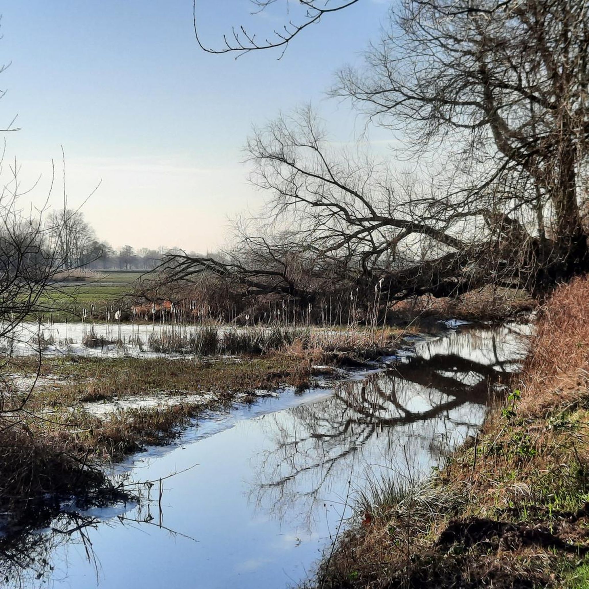
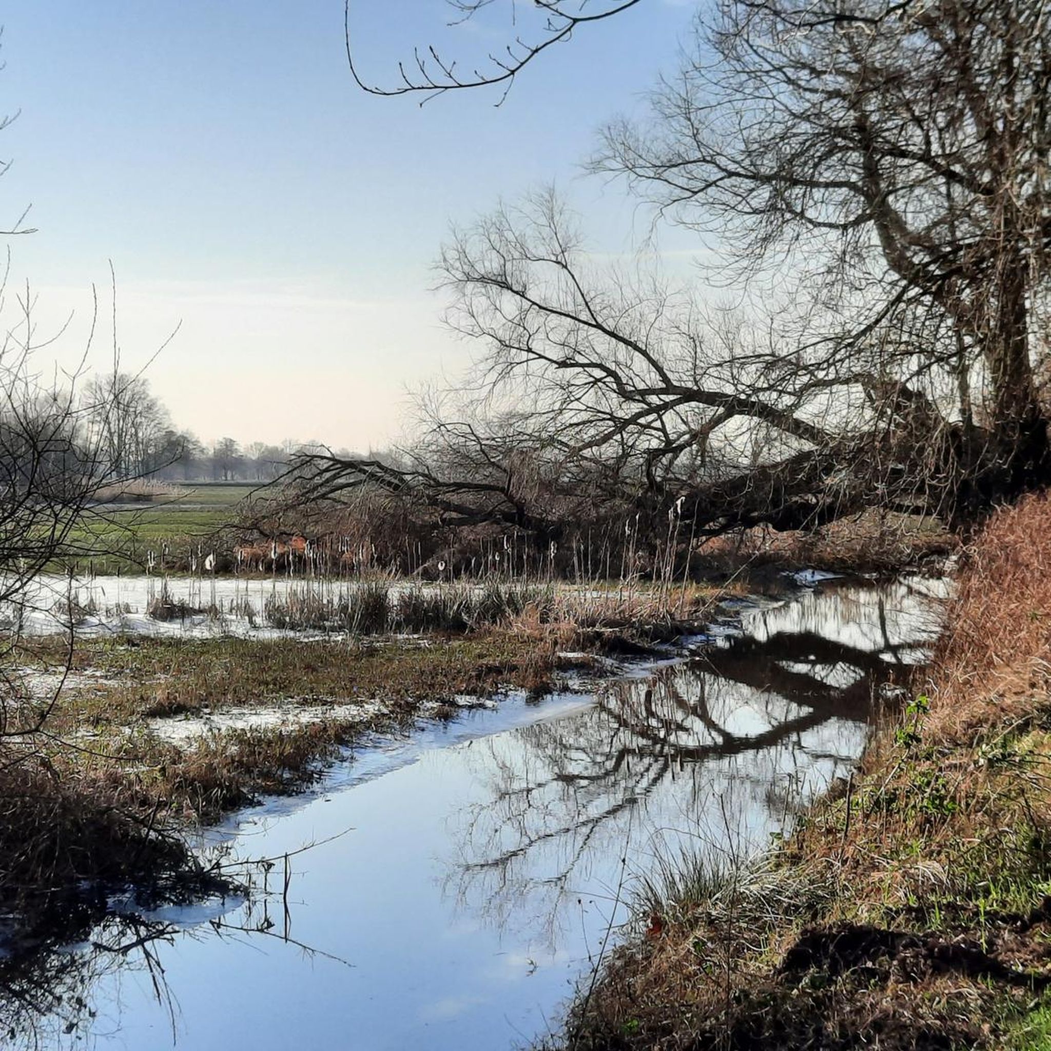
The nature reserve is located in the municipalities of Kalmthout and Wuustwezel, on the Dutch border. It is a small reed marsh with surrounding, sometimes wet grasslands and many rows of trees and wood edges. Together with its Dutch counterpart 'De Matjens', De Maatjes forms a cross-border nature reserve. It is especially important as a habitat for various species of reed and meadow birds. A beautiful area to come and walk and enjoy the open landscape.
2
0
Please note: the lookout tower will be accessible again after reconstruction from 27 September 2024. Nature reserve De Maatjes is a cross-border marsh reed landscape. It is largely located in the municipality of Zundert and in the Belgian municipalities of Wuustwezel and Kalmthout. A 7-metre-high lookout tower has been built near the point where the three municipalities meet, from where you can look out over the wide area. The nature reserve is of great ecological value. Nature lovers and bird watchers will therefore quickly find their way to the lookout tower. Peat extraction The name 'de Klot' refers to a lump of peat or turf. Between the years 1250 and 1750, peat was extracted here on an almost industrial scale. The peat was transported to Roosendaal, Bergen-op-Zoom, Antwerp, etc. From the lookout tower you can still see peat relics in the landscape. After peat extraction, this area spontaneously evolved into a heathland. At the beginning of the 20th century, the fertilisation of this area began. The land consolidation around 1970 gave the landscape its current appearance. From the tower, we can, as it were, show 800 years of landscape evolution. Death Wire Furthermore, plans from the First World War show that the Death Wire ran at the height of the tower. In the context of the many commemorations, a reconstruction of this wire has been placed at the foot of the tower. Various cycle routes run along the Klot and you can also walk in the area using the Dutch and Belgian walking junctions. The lookout tower is located on the corner of Sneygaertstraat and Hanne Wiewauweg. Seven information boards bring the rich history of this area to life.
4
0

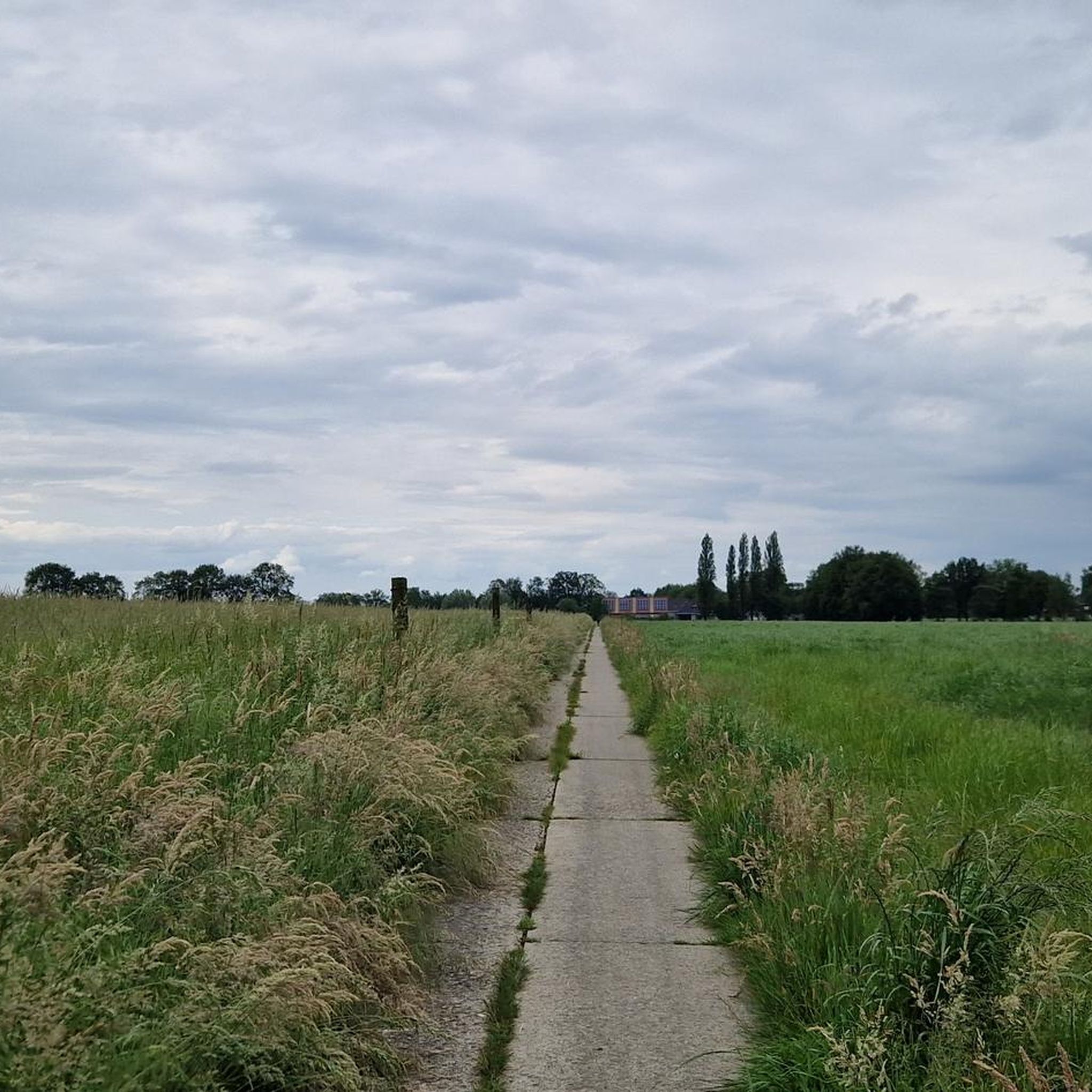
To prevent young men from moving from Belgium to the neutral Netherlands to reach the front in the Westhoek, the German occupier erected an electric wire barrier along the border with the Netherlands in 1915 (approximately 300 km long).
0
0

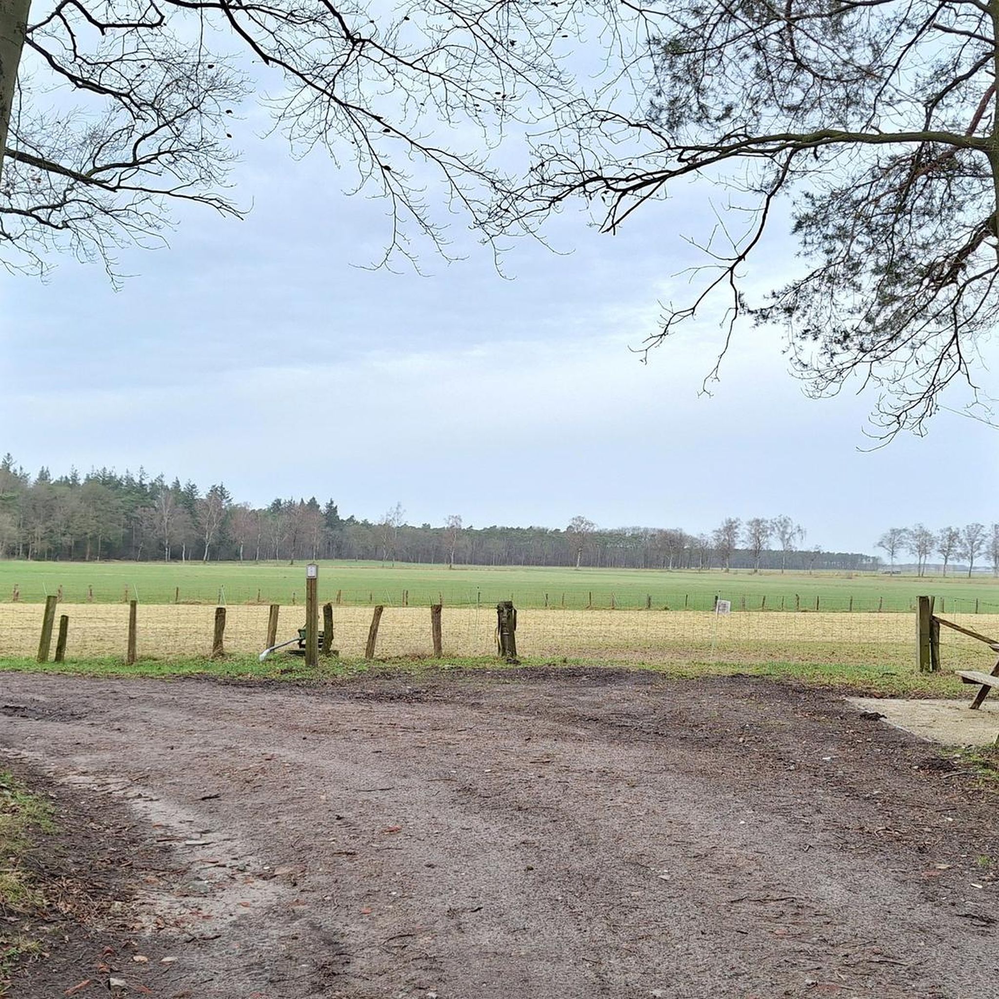
This entrance gate takes you, as it were, past the swamp part of De Maatjes. When it rains a lot, the water overflows its banks. Good shoes or boots recommended!
2
0
Frequently Asked Questions
How many hiking trails are available in Ontginningslandschap De Maatjes?
There are over 600 hiking trails in Ontginningslandschap De Maatjes, catering to a wide range of preferences and skill levels. The komoot community has explored these routes over 27,500 times.
What kind of terrain will I encounter while hiking in Ontginningslandschap De Maatjes?
Ontginningslandschap De Maatjes features a unique landscape shaped by historical peat extraction. You'll find diverse terrain including remnants of marshes and former wet and dry heathlands, structurally rich grasslands, and large forest complexes. The area often presents as relatively open spaces, partially enclosed by wooded areas, offering varied natural beauty.
Are there any easy trails suitable for beginners or casual walkers?
Yes, Ontginningslandschap De Maatjes is known for its selection of easy hikes. More than half of the available routes, specifically 346, are classified as easy. These trails are perfect for discovering the natural beauty of the area without significant challenge.
Are there any circular hiking routes in Ontginningslandschap De Maatjes?
Yes, many of the trails in Ontginningslandschap De Maatjes are circular, allowing you to start and end at the same point. For example, the Mary Statue in Tree – Wolfsheuvel Forest loop from Achterbroek is an easy 7.7 km circular route that takes you through varied landscapes.
What interesting sights or landmarks can I see along the trails?
The region offers several points of interest. You can visit the De Klot Observation Tower for panoramic views, explore the diverse habitats of the De Maatjes Nature Reserve, or discover the historical significance of the Dodendraad (Wire of Death). The Entrance to the De Maatjes Wetland Area also provides access to unique natural features.
Is Ontginningslandschap De Maatjes suitable for family hikes with children?
Absolutely. The area's generally easy terrain and numerous short, accessible routes make it ideal for families. The varied landscape with forests and open spaces provides an engaging environment for children to explore nature.
Are dogs allowed on the hiking trails in Ontginningslandschap De Maatjes?
Many trails in Ontginningslandschap De Maatjes are dog-friendly, allowing you to enjoy a hike with your canine companion. However, it's always advisable to keep dogs on a leash, especially in nature reserve areas, to protect wildlife and ensure a pleasant experience for all visitors.
What is the best time of year to go hiking in Ontginningslandschap De Maatjes?
Ontginningslandschap De Maatjes offers enjoyable hiking experiences year-round. Spring brings blooming flora, summer provides lush greenery, and autumn showcases beautiful fall colors. Even in winter, the open landscapes and wooded areas offer a serene atmosphere. The relatively flat terrain means trails are generally accessible in most conditions.
Where can I park my car when visiting Ontginningslandschap De Maatjes for a hike?
Parking facilities are available at various entry points to the hiking areas within Ontginningslandschap De Maatjes. Specific parking locations can often be found near popular trailheads or nature reserve entrances. It's recommended to check the starting point of your chosen route for the most convenient parking options.
Are there any cafes or restaurants near the hiking trails?
While Ontginningslandschap De Maatjes is primarily a natural area, you can find cafes and restaurants in the nearby towns and villages such as Kalmthout, Wuustwezel, and Zundert. These establishments offer opportunities for refreshments and meals before or after your hike.
What do other hikers enjoy most about hiking in Ontginningslandschap De Maatjes?
The area is highly rated by the komoot community, with an average score of 4.5 stars from over 4,900 reviews. Hikers often praise the peaceful atmosphere, the diverse and unique historical landscape, and the well-maintained trails that make for an enjoyable outdoor experience.
How long are the typical hiking trails in this region?
The trails in Ontginningslandschap De Maatjes vary in length. Many popular routes are between 5 to 8 kilometers, such as the De Maatjes Nature Reserve – Entrance to the De Maatjes Wetland Area loop from De Maatjes which is 5.8 km. However, you can also find longer moderate routes like the Entrance to the De Maatjes Wetland Area – De Klot Observation Tower loop from De Maatjes, which spans 14.3 km.
Most popular routes in Ontginningslandschap De Maatjes
Most popular attractions in Ontginningslandschap De Maatjes

Get inspired with the komoot mobile app


Explore more
Browse the best Hikes in other regions.
