The best walks and hikes in De Linie
4.4
(5621)
28,449
hikers
895
hikes
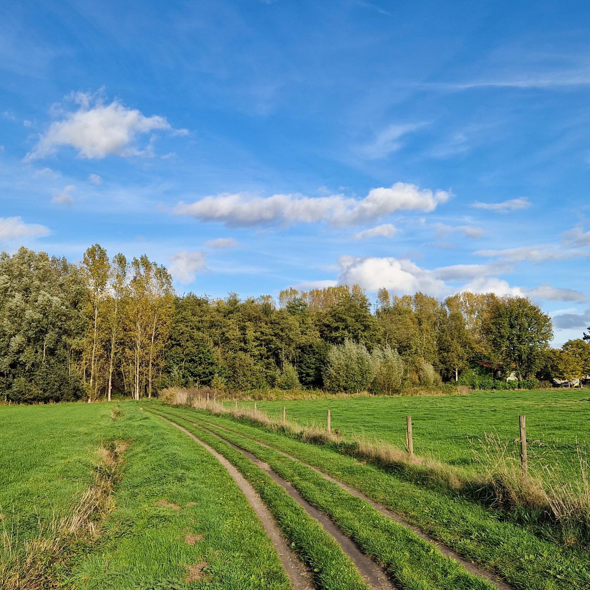
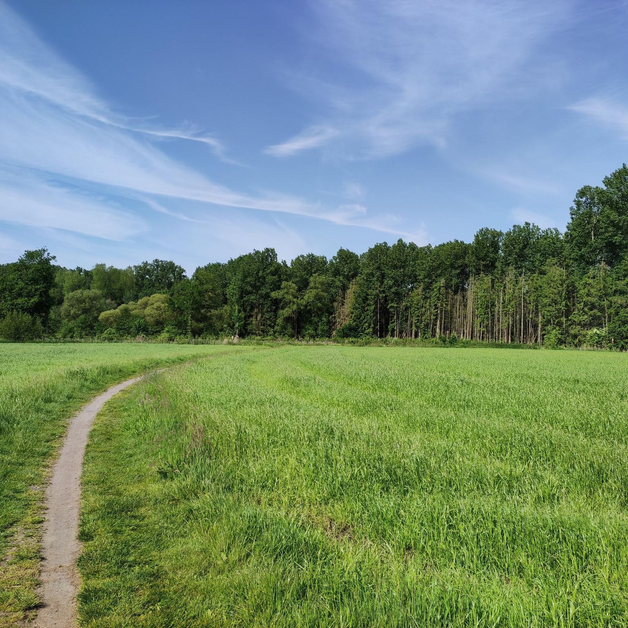
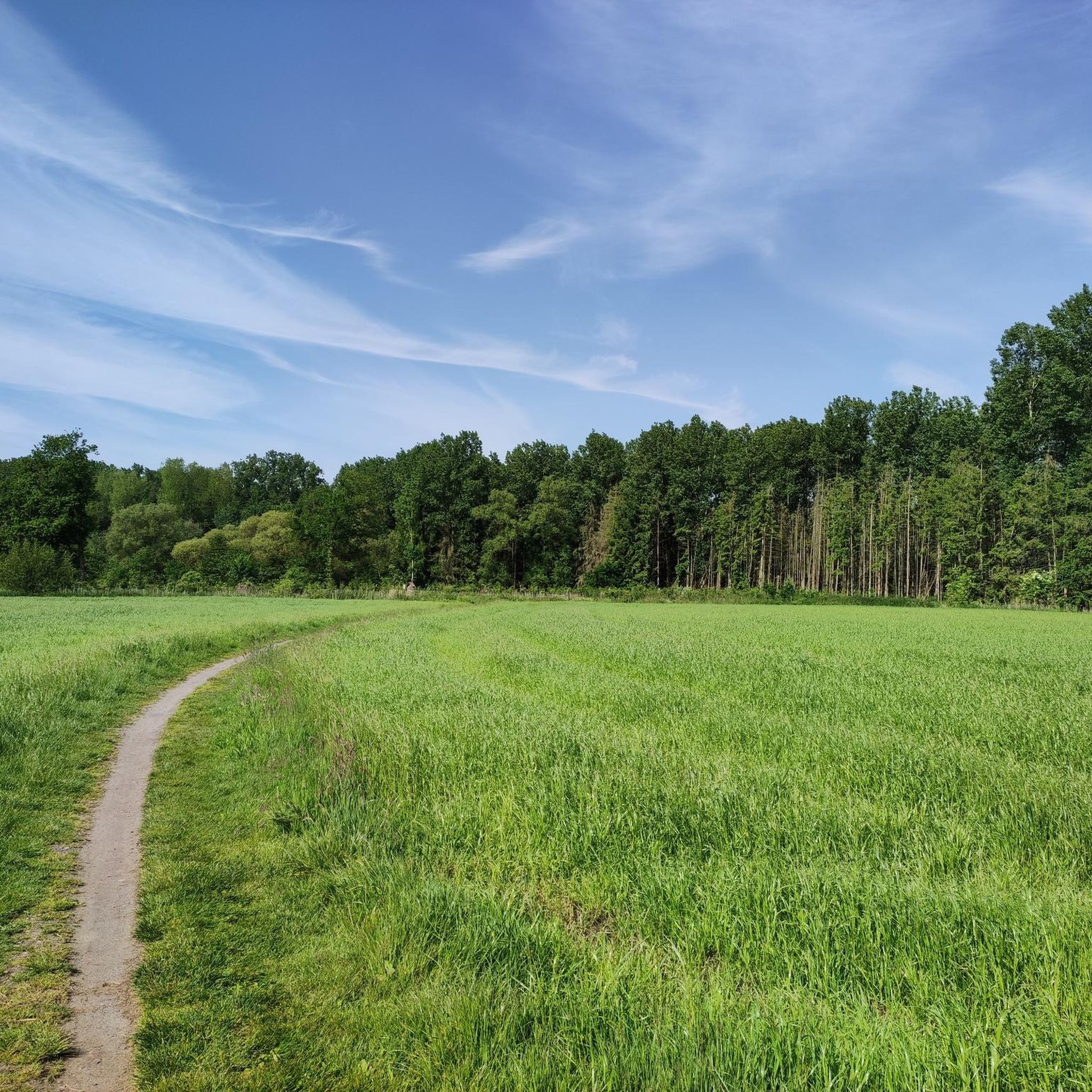
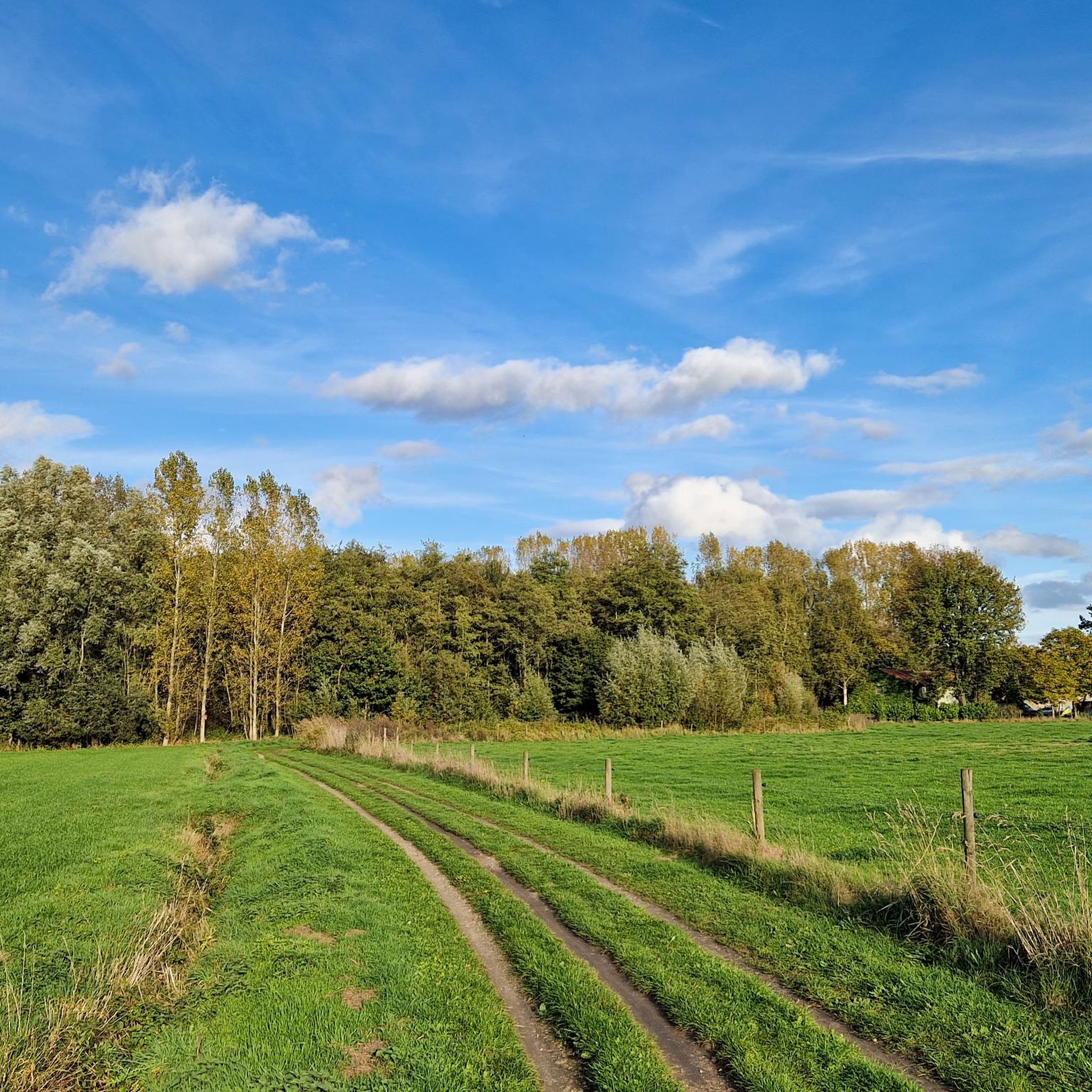
Hiking trails in De Linie traverse a natural park in Sint-Niklaas, characterized by its flat terrain, waterways, and diverse natural reserves. The landscape features a network of canals, such as the Stekense Canal, and protected areas like the Turfmeersen Nature Reserve. Hikers can expect paths winding through open fields, along river towpaths, and within provincial parks, offering varied scenery without significant elevation changes. This region provides accessible outdoor experiences, focusing on the natural and historical elements of the local environment.
…Last updated: July 3, 2026
4.5
(334)
939
hikers
11.7km
02:57
10m
10m
Moderate hike. Good fitness required. Easily-accessible paths. Suitable for all skill levels.
4.5
(119)
571
hikers
15.2km
03:49
10m
10m
Moderate hike. Good fitness required. Easily-accessible paths. Suitable for all skill levels.

Sign up for free
4.1
(13)
43
hikers
10.8km
02:43
10m
10m
Moderate hike. Good fitness required. Easily-accessible paths. Suitable for all skill levels.
4.8
(11)
48
hikers
14.4km
03:36
10m
10m
Moderate hike. Good fitness required. Easily-accessible paths. Suitable for all skill levels.
4.3
(4)
21
hikers
7.95km
02:00
10m
10m
Easy hike. Great for any fitness level. Easily-accessible paths. Suitable for all skill levels.
Get access to more routes and recommendations from other explorers.
Sign up for free
Already have an account?
Our route recommendations are based on thousands of hikes, rides, and runs completed by other people on komoot.
Start today with a free account
Your next adventure awaits.
Login or Signup

Tips from the Community

Open every day except Monday from 11:00 AM; on Mondays only from 5:00 PM.
4
0
The Caudenbormbrug dates from the interwar period and was restored and partially renewed around 1945 after war damage. It was initially a manually operated drawbridge, but the mechanism has since been replaced by a hydraulic system.
2
0
This site, known as the hof van Koudenborm, is a former possession of the vanished Cistercian abbey of Boudelo, founded in the 12th century in Klein-Sinaai (Stekene). In written sources, it appears as the hof De Fonteyne. The ruin of the hof comprises the remains of a small 17th-century north wing on the street side and, behind it, a large south wing dating at least from the 16th century. Between the two wings stands the remnant of a square stair tower. The ruin is closed off on the street side by a low brick wall with the remains of a gate. There is no certainty about the function of the building. The complex would have been very suitable as an inn, given the gatehouse, the number of rooms, the cellars, and its location on the traffic axis from Bruges to Antwerp. The building could also have served as a Rabot. However, it was too large to serve solely as a lock, so it is possible that it was also a toll house with storage space. Goods were then loaded from the ship into the cellars through the openings at the bottom. The large square building with the gate on the Heirweg was demolished before 1925. From 1930 onwards, the hof was no longer inhabited. Part of the buildings was used as stables, while sand extraction was carried out on the undeveloped parts of the site. In 1930, the eastern stepped gable of the south wing collapsed, after which it was rebuilt as a gable wall using reused bricks. On February 23, 1979, the hof van Koudenborm was protected as a monument due to its historical and artistic value. On March 8, the building collapsed. The site was purchased in 1979 by the municipality of Moerbeke, the current owner of the ruin. Source: information board on site
3
0
On Friday, April 5, 1867, the Spletterenbrug was officially opened. Between Moerbeke and Lokeren, trains stopped in Daknam and Eksaarde. In Moerbeke, travelers could transfer to railway line 77 towards Zelzate or towards Sint-Gillis-Waas. That the intention was to one day double the 9-kilometer railway line to two tracks is still visible on the Spletterenbrug. Both bridge abutments are indeed twice as wide as the bridge deck itself. It never came to that. On the contrary. The railway line suffered during both world wars, causing traffic to be suspended for months. For example, retreating German soldiers blew up the bridge at the end of World War I. Less than a year after the armistice, in September 1919, the line was already restored and trains could run on the route again. In 1940, the Belgian army, in turn, tried to slow down the German advance by destroying the bridge. The bridge was repaired again. In 1971, the last train chugged along the route. After more than a century of train traffic, the tracks were dismantled and the route was redeveloped as a cycling and walking path from Lokeren to Moerbeke. The Spletterenbrug itself was preserved and restored in 2017. The seven layers of paint were removed, and the bridge regained its original, dark gray color. Source: industriecultuur.be
4
0

Den Hert is a forest with a pond and is part of the De Linie nature reserve. The area is managed by the non-profit organization Durme. The peep wall is an observation wall where you can observe and photograph birds up close. The wall was built with support from the Agency for Nature and Forests (ANB) and sponsor Natuurkijkers.be. Together with the surrounding forests, Den Hert forms a large, contiguous nature reserve (approximately 300 hectares). Since 2006, the area has been made more nature-friendly: exotic species were removed, several plane trees with tree hollows were left standing (a roost for woodpeckers and bats), and in 2015, the banks of the pond were modified. Steep banks were replaced with a gentler slope, and more light was introduced around the pond. Species including bulrush, cattail, and water lily now grow around the pond. In summer, this is a breeding ground for various waterfowl. In late summer, the water level is often low: ideal for kingfishers, which can then fish up close. On muddy banks, you can sometimes also spot wading birds or wagtails. In autumn and winter, many songbirds come to the feeding table. On the way to the viewing wall, you walk over a "rabat": a raised earthen strip, an old system for planting forests on wet ground. The viewing wall is accessible from August 15th to March 15th to give the animals a rest during the breeding season. Approach the viewing wall as quietly as possible. Dogs are left at the entrance.
1
0

A section of the Liniewegel will be closed between March 15th and August 15th. A designated alternative route will be available.
1
0

't Veldcafe in Moerbeke is a nice cycling café where strong cycling stories are shared over a pint. The terrace at the back is recommended. Here you have a relaxing view of the Zuidlede.
5
0
With some skill and caution you will enjoy this piece of off-road. Be careful, gravel is very loose in some places.
2
0
Frequently Asked Questions
How many hiking trails are available in De Linie?
De Linie offers a wide variety of hiking experiences, with over 870 routes to explore. These range from easy strolls to more challenging, longer paths through the region's unique landscape.
What kind of terrain can I expect when hiking in De Linie?
The terrain in De Linie is generally flat, characterized by a network of canals, river towpaths, and paths through open fields and provincial parks. You'll find diverse scenery without significant elevation changes, making it accessible for various fitness levels.
Are there any easy hiking routes suitable for beginners in De Linie?
Yes, De Linie is very beginner-friendly. Over 560 of the available routes are classified as easy, offering gentle gradients and well-maintained paths perfect for those new to hiking or looking for a relaxed walk.
Are there any circular hiking routes in De Linie?
Many routes in De Linie are designed as loops, allowing you to start and end at the same point. For example, the De Linie Nature Reserve – Stekense Canal loop from Eksaarde offers a scenic circular path through natural areas and along waterways.
What can I see along the hiking trails in De Linie?
Hikers can discover various points of interest, including natural reserves and historical elements. Notable attractions include the Chapel of the Cross, the expansive De Linie Nature Reserve, and the unique Gluurmuur Den Hert. You can also explore the Liniewegel Nature Trail.
What do other hikers enjoy most about De Linie?
The komoot community highly rates De Linie, with an average score of 4.4 stars from over 5,000 reviews. Hikers often praise the region's accessible trails, diverse natural reserves, and the peaceful atmosphere along its canals and towpaths.
Are there any longer, more challenging hikes in De Linie?
While many routes are easy, De Linie also offers more challenging options for experienced hikers. For instance, the Stekense Canal – De Linie Nature Reserve loop from Moervaart is a difficult 21.6 km route that provides a longer, more demanding experience through the area's landscapes.
What are the main natural features of De Linie?
De Linie is defined by its flat terrain, extensive waterways, and diverse natural reserves. Key features include the Stekense Canal, the Turfmeersen Nature Reserve, and various provincial parks, all contributing to a rich and varied landscape for hikers.
Is De Linie suitable for family-friendly hikes?
Yes, De Linie is well-suited for families due to its generally flat and accessible terrain. Many of the 560+ easy routes are perfect for walks with children, offering pleasant paths through nature without strenuous climbs.
Can I bring my dog on the hiking trails in De Linie?
De Linie's natural park setting with numerous trails through fields, along canals, and in nature reserves generally welcomes dogs. However, always check local signage for specific rules regarding leashes or restricted areas within certain nature reserves to ensure a pleasant experience for everyone.
What is the best season for hiking in De Linie?
De Linie offers enjoyable hiking experiences throughout much of the year. Spring and autumn provide pleasant temperatures and vibrant scenery, while summer is ideal for longer days. Even winter can be suitable for hiking, though conditions may vary, so checking local weather is always recommended.
Are there any historical sites or landmarks to explore in De Linie?
De Linie, while primarily a natural park, incorporates historical elements, particularly its connection to the 'Blue Line' in Garda Trentino, Italy, which features World War II fortifications. In the local De Linie area, you can visit the Chapel of the Cross and explore the Liniewegel Nature Trail, which often highlights local heritage.
Most popular routes in De Linie
Most popular attractions in De Linie

Get inspired with the komoot mobile app


Explore more
Browse the best Hikes in other regions.
