The best MTB trails in Weißer Graben
4.5
(22)
104
riders
15
rides
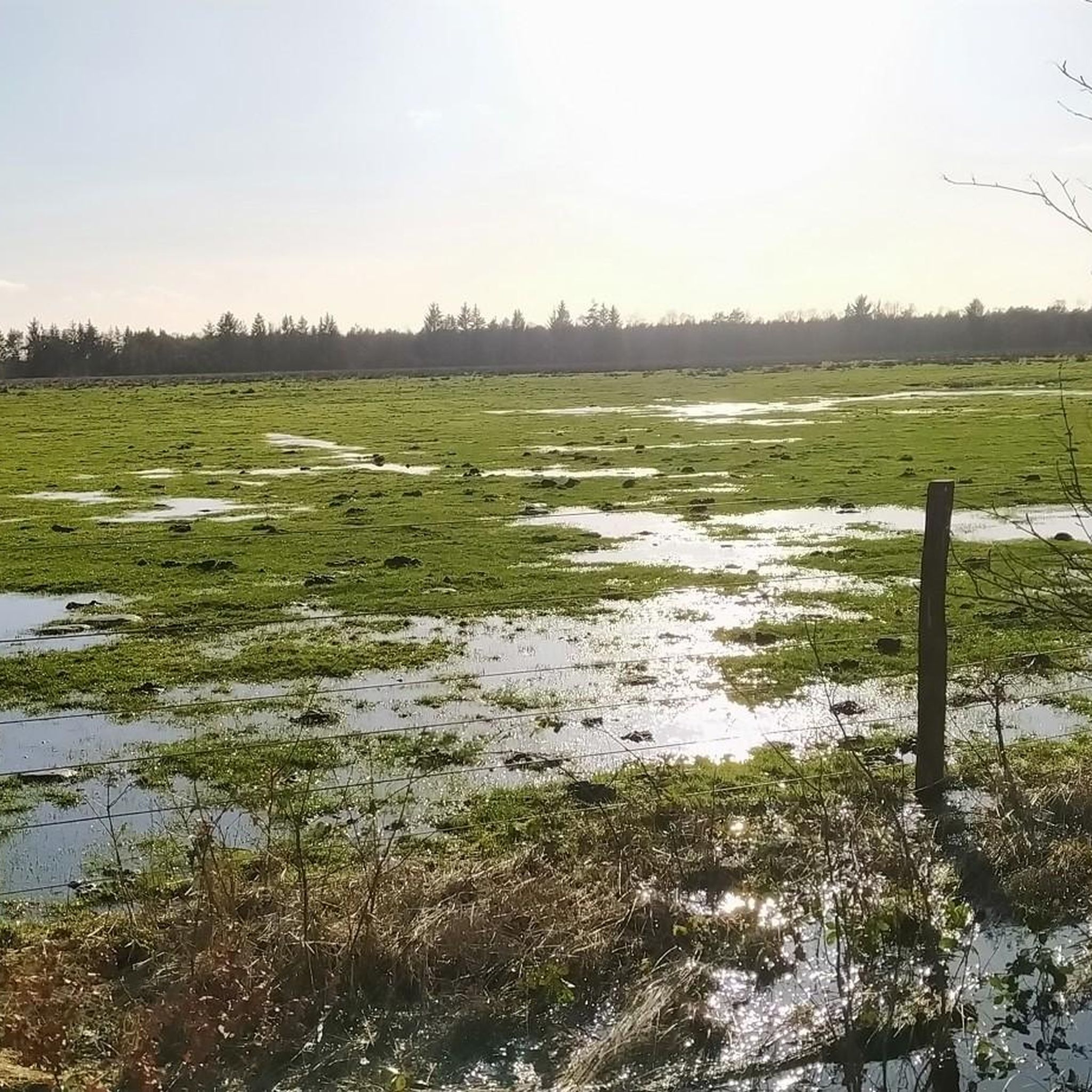
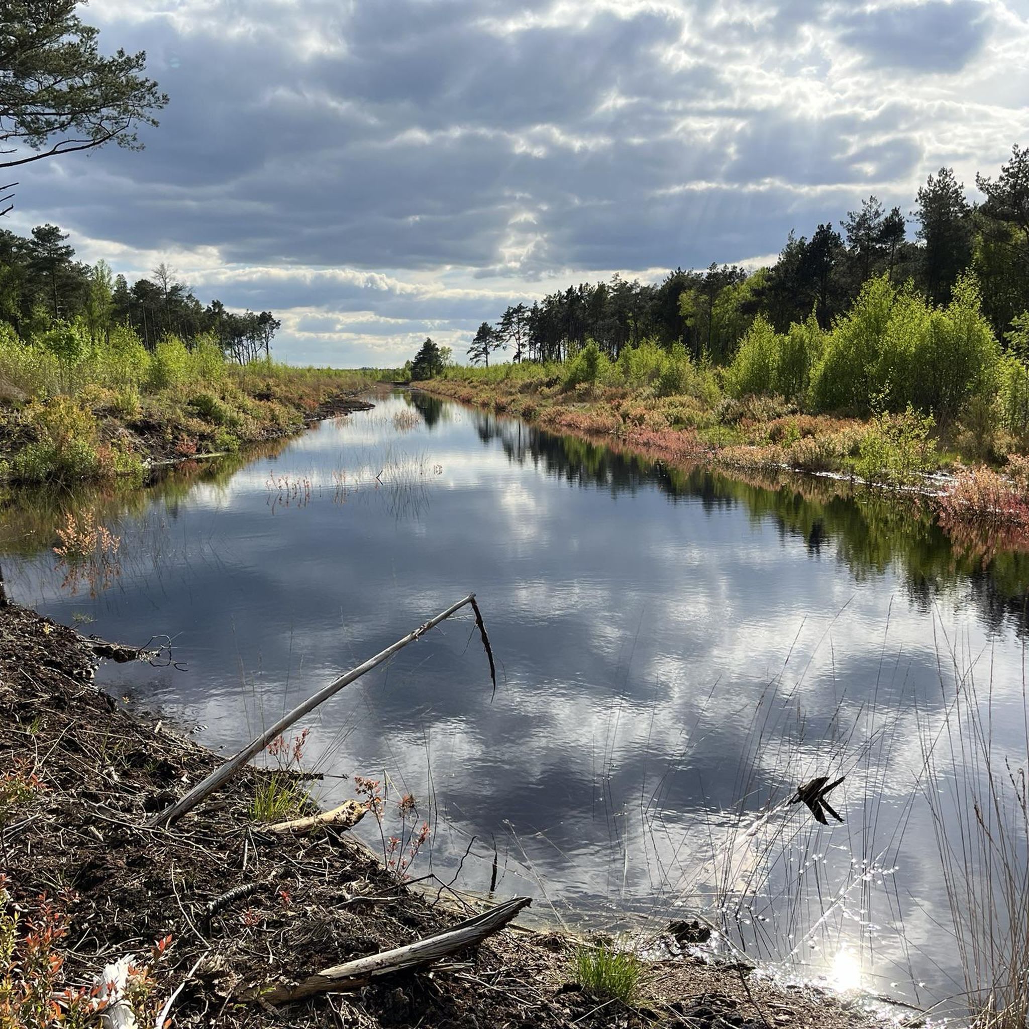
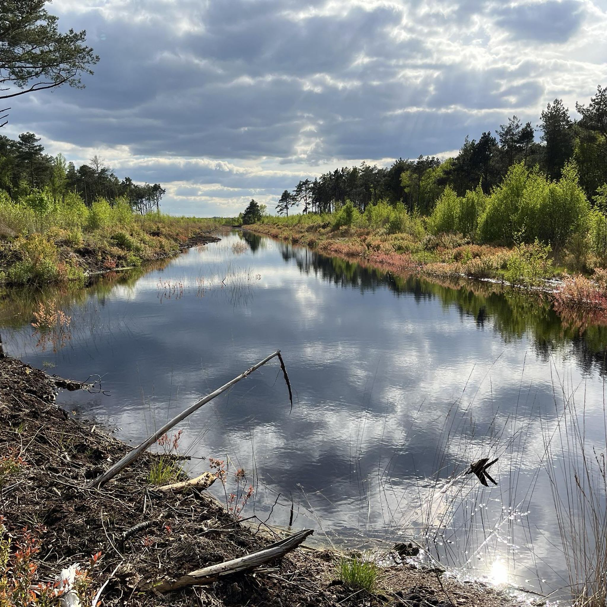
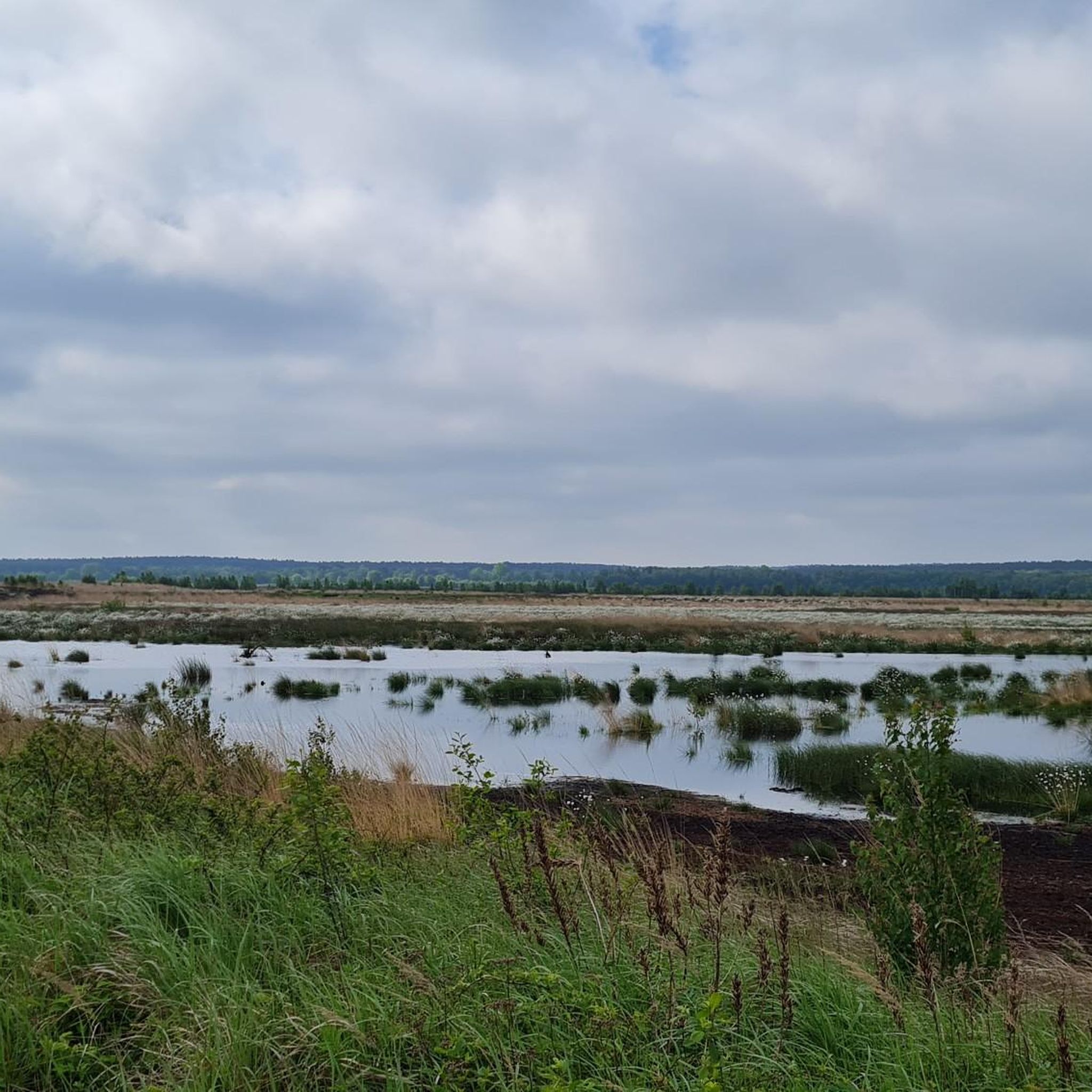
Mountain bike trails in Weißer Graben traverse a landscape characterized by high moor areas and rewetting industrial peat extraction zones. The region features unutilized birch forests, old hand-dug peat cuttings, and various grassland and forest areas. Efforts to optimize wetlands for meadow birds contribute to a diverse natural environment. This terrain offers a mix of surfaces suitable for mountain biking, from forest paths to open grasslands.
Best mountain bike trails in Weißer Graben
- The most popular mountain bike trail is…
Last updated: July 1, 2026
2
riders
32.0km
01:57
130m
130m
Moderate mountain bike ride. Great for any fitness level. Advanced riding skills necessary.
5.0
(1)
3
riders
Moderate mountain bike ride. Good fitness required. Advanced riding skills necessary.

Sign up for free
2
riders
Moderate mountain bike ride. Good fitness required. Advanced riding skills necessary.
5.0
(1)
4
riders
37.8km
02:10
60m
60m
Moderate mountain bike ride. Good fitness required. Suitable for all skill levels.
4.8
(6)
31
riders
Easy mountain bike ride. Great for any fitness level. Suitable for all skill levels.
Get access to more routes and recommendations from other explorers.
Sign up for free
Already have an account?
Our route recommendations are based on thousands of hikes, rides, and runs completed by other people on komoot.
Start today with a free account
Your next adventure awaits.
Login or Signup
Tips from the Community

The Giebichenstein in Stöckse is considered the largest erratic boulder in Lower Saxony and is definitely worth a break. Those eager to climb can also manage to ascend it. Not far from it, there is a playground on the outskirts of Stöckse, and you can also reach the Stöckser See via footpaths.
0
0

Open on Friday and Saturday. Delicious cake.
0
0

At the site of the former "Hansa" oil field near Hademstorf in the Allermarsch region, approximately 160,000 tons of crude oil were produced between 1941 and 1970. Today, two restored horsehead pumps, installed on the foundations of the "Hansa 6" and "Hansa 9" production sites, commemorate this technical history. The pumps were used to bring oil to the surface from depths of up to 1,350 meters. Together with the historic oil bridge, they represent significant evidence of the regional oil boom—well-documented by the Aller-Leine Valley Navigator and open to the public as a technical monument.
1
0

Still closed in July 2025!!! It'll probably last until at least December 2025😔. Then the next cycling season will be over. Unbelievable.
1
0

On the Weser cycle path to Nienburg, the bridge and harbor welcome us with a beautiful view.
2
0

At the beginning of May 1948, sheep, cattle, and wild animals fell victim to the previously unknown "Beast" almost every night in the vast heath and moorland areas surrounding Lichtenmoor in Lower Saxony. The population lived in constant fear and anxiety for their livestock. It was believed that a puma or a tiger, or possibly even a wolverine, was wreaking havoc there. A lioness with two cubs was also reportedly seen. The "Beast" was said to have killed over 100 sheep, 65 cattle, and numerous wild animals. Because meat was scarce in the postwar period, it is now assumed that there were many illegal slaughters. The appearance of the "Beast" made it easy to cover them up. Daily, hundreds of men, farmers, hunters, and police hunted this monster. Then, on August 27, 1948, the farmer Herrman Gaatz from Eilte killed the "Lichtenmoor Shrike" – a male wolf of considerable size. The Lower Saxony State Hunting Association erected a wolf stone at the spot where the large male wolf was killed. From the former Eilte train station, walk 2.5 km along a narrow road into the forest and find the wolf stone on the right side of the path. The skeleton in the museum archive and a single specimen of a head still serve as reminders of the predator from the moorland. The legend of the "Lichtenmoor Shrike" has become a piece of regional history.
0
0

Flowering rhododendron hedge in Nienhagen.
1
0
Across the Leine towards Gilten you have a beautiful view over the lush floodplain landscape.
1
0
Frequently Asked Questions
What kind of terrain can I expect on mountain bike trails in Weißer Graben?
The mountain bike trails in Weißer Graben traverse a unique landscape characterized by high moor areas and rewetting industrial peat extraction zones. You'll encounter unutilized birch forests, old hand-dug peat cuttings, and various grassland and forest areas, offering a mix of surfaces from forest paths to open grasslands.
How many mountain bike routes are there in Weißer Graben?
There are over 15 mountain bike routes available in Weißer Graben, offering options for various ability levels. The komoot community has explored these routes over 100 times.
Are there any easy mountain bike trails suitable for beginners or families in Weißer Graben?
Yes, Weißer Graben offers several easy mountain bike trails. For a relaxed ride, consider the Wooden Bridge in Lemker Marsch – Weser Weir Drakenburg loop from Haßbergen, which is rated as easy and covers about 30.8 km.
What is the best time of year for mountain biking in Weißer Graben?
Given the region's characteristics, including high moor areas and forests, spring and autumn generally offer pleasant conditions for mountain biking. The rewetting efforts mean some areas might be wetter after heavy rain, so checking local conditions is advisable, especially in autumn.
Are there any challenging mountain bike trails in Weißer Graben?
The trails in Weißer Graben are primarily rated as easy or moderate. There are no trails currently classified as difficult, making the area more suitable for riders looking for accessible and enjoyable routes rather than extreme challenges.
What do other mountain bikers say about the trails in Weißer Graben?
The mountain bike routes in Weißer Graben are highly rated by the komoot community, with an average score of 4.6 stars from over 20 reviews. Riders often praise the varied terrain and the natural environment, including the unique moor and forest landscapes.
Are there any specific landmarks or scenic points to look out for on the trails?
While the region is known for its natural features like high moor areas and birch forests, specific named landmarks are less common. However, routes like the Stöckser Lake – Giebichenstein Boulder loop from Samtgemeinde Steimbke offer varied terrain around a lake and interesting boulder formations.
Can I find routes that follow old railway lines in Weißer Graben?
Yes, some routes in Weißer Graben utilize former rail corridors. For example, the Avenue of Leaning Trees – Rail Trail Rethem–Ahlden loop from Samtgemeinde Rethem/Aller follows a rail trail and passes through an area known for its distinctive leaning trees.
Are there any circular mountain bike routes in Weißer Graben?
Many of the mountain bike routes in Weißer Graben are designed as loops. An example is the Hademsdorf Weir – View of the Aller River loop from Frankenfeld, which offers a moderate ride with views of the Aller River.
What kind of natural environment will I experience while mountain biking here?
You'll experience a diverse natural environment shaped by ecological protection and rewetting efforts. This includes high moor areas, unutilized birch forests, old hand-dug peat cuttings, and various grassland and forest areas. Efforts to optimize wetlands for meadow birds also contribute to the area's natural appeal.
Is it possible to reach the mountain bike trails in Weißer Graben by public transport?
While the region is primarily rural, specific public transport options to trailheads can vary. It's recommended to check local bus schedules or regional train connections to nearby towns and plan your route accordingly, as direct access to all trail starts might require a short ride or walk.
Are there any amenities like cafes or pubs near the mountain bike routes?
Weißer Graben is characterized by its natural landscapes, and amenities like cafes or pubs are typically found in the surrounding villages and towns rather than directly on the trails. Planning your route to pass through or start near these settlements would be advisable for refreshment stops.
Most popular routes in Weißer Graben

Get inspired with the komoot mobile app


Explore more
Browse the best MTB trails in other regions.
