The best walks and hikes in Weißer Graben
4.6
(314)
1,164
hikers
142
hikes
Hiking trails in Weißer Graben are characterized by a distinctive moorland landscape in Lower Saxony, Germany. The region features high moor areas, with ongoing ecological restoration efforts transforming former peat exploitation sites into moist grasslands. Hikers will encounter diverse environments, including untouched moor birch forests and old hand peat cuttings, particularly in the northeastern sections. The area is traversed by the Alpegraben and Weißer Graben streams, contributing to its wetland character.
Best hiking trails in Weißer Graben
- The most popular…
Last updated: July 1, 2026
4.8
(4)
11
hikers
6.65km
01:40
10m
10m
Easy hike. Great for any fitness level. Easily-accessible paths. Suitable for all skill levels.
5.0
(3)
6
hikers
6.38km
01:36
0m
0m
Easy hike. Great for any fitness level. Easily-accessible paths. Suitable for all skill levels.

Sign up for free
3
hikers
6.25km
01:34
10m
10m
Easy hike. Great for any fitness level. Easily-accessible paths. Suitable for all skill levels.
2
hikers
3.94km
00:59
0m
0m
Easy hike. Great for any fitness level. Easily-accessible paths. Suitable for all skill levels.
1.0
(1)
1
hikers
7.69km
01:58
30m
30m
Easy hike. Great for any fitness level. Easily-accessible paths. Suitable for all skill levels.
Get access to more routes and recommendations from other explorers.
Sign up for free
Already have an account?
Our route recommendations are based on thousands of hikes, rides, and runs completed by other people on komoot.
Start today with a free account
Your next adventure awaits.
Login or Signup
Tips from the Community

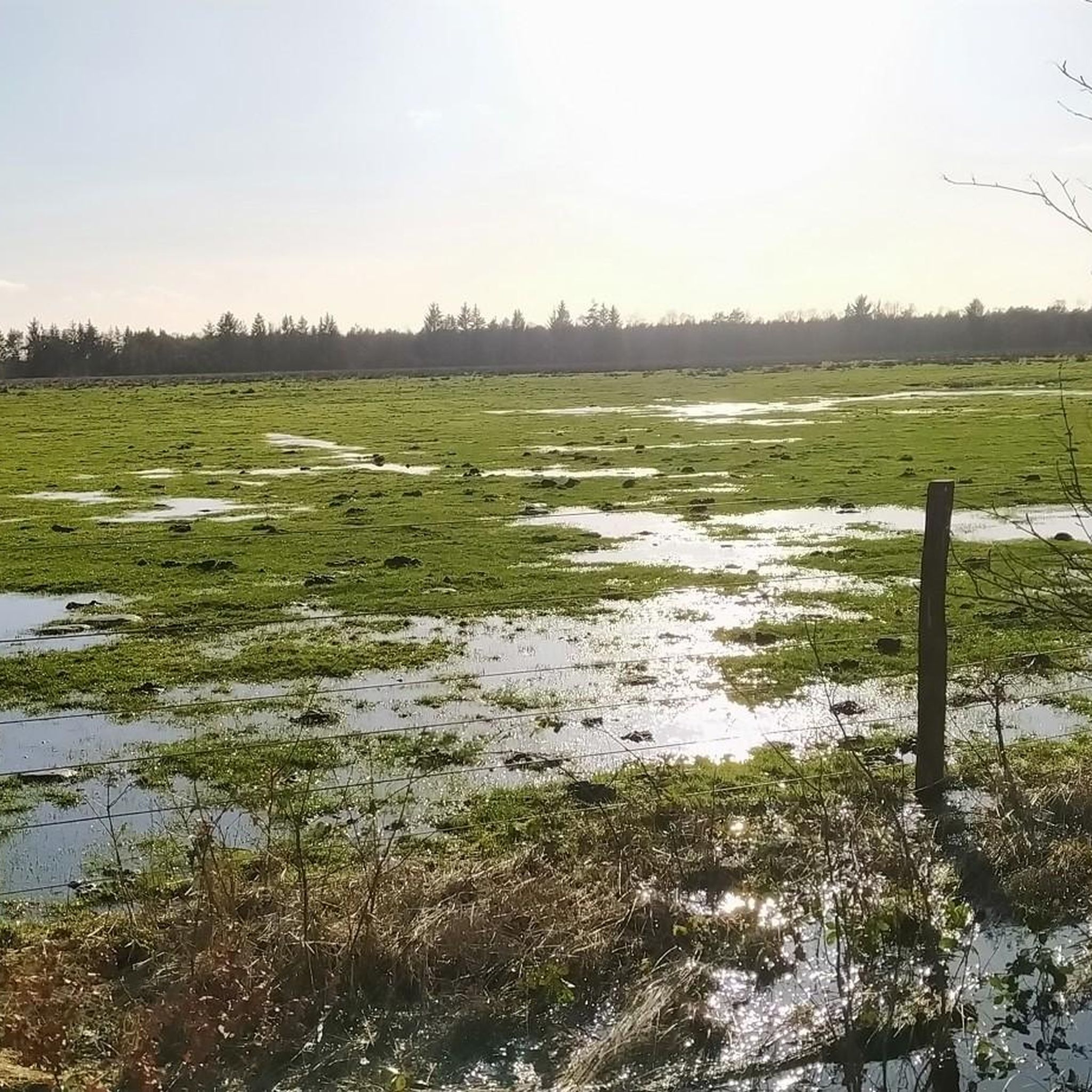
Unfortunately, when I visited in December 2022, there was no more water in the lake. Like so many other forest lakes, it has dried up.
1
0
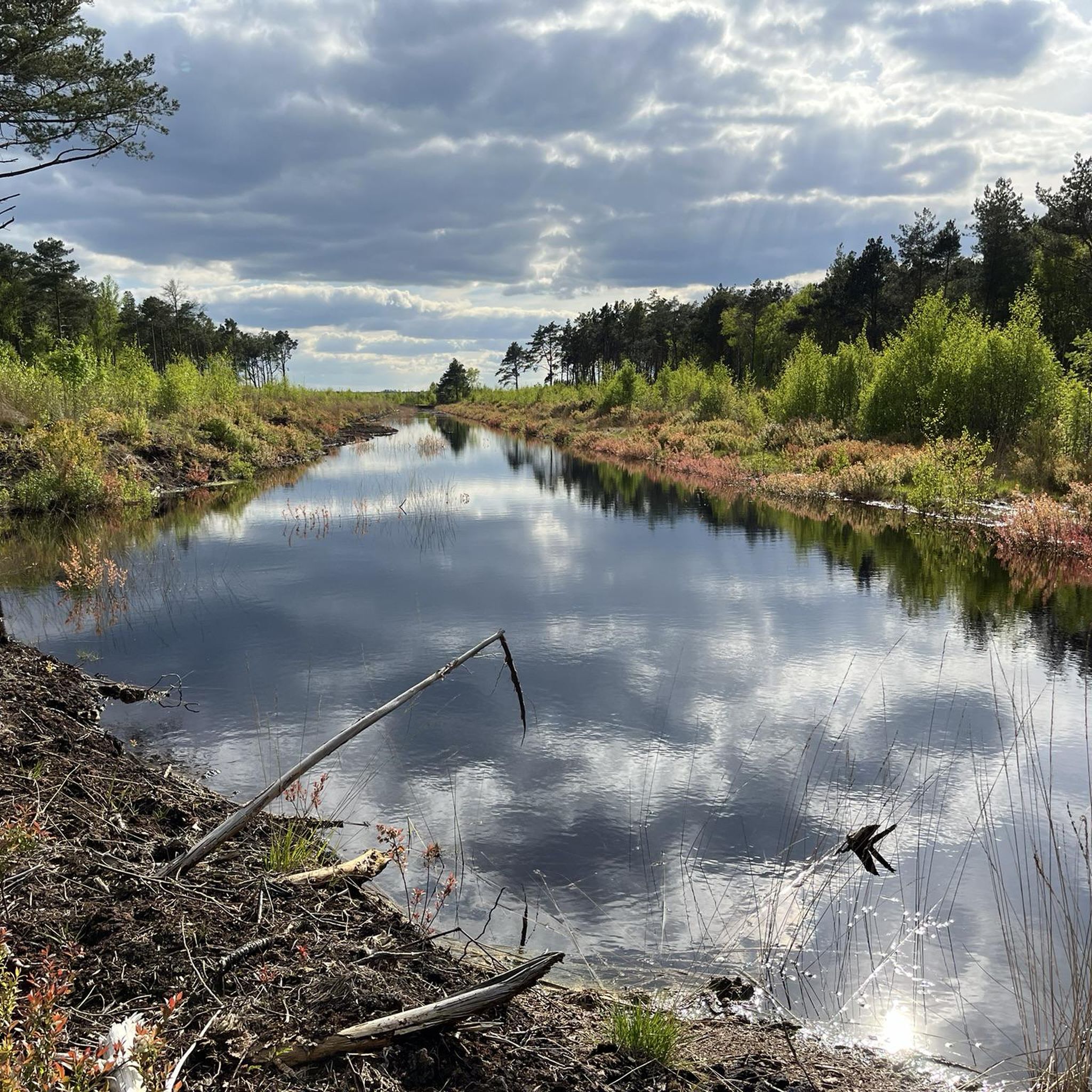
A lonely pond in the forest, next to it a high stand.
0
0

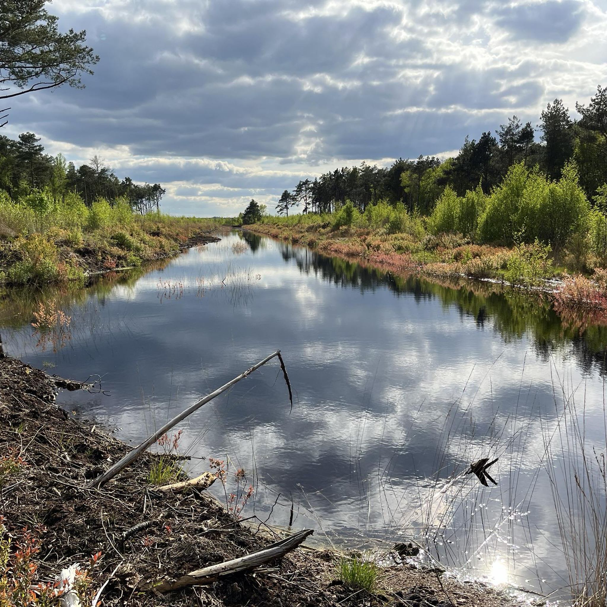
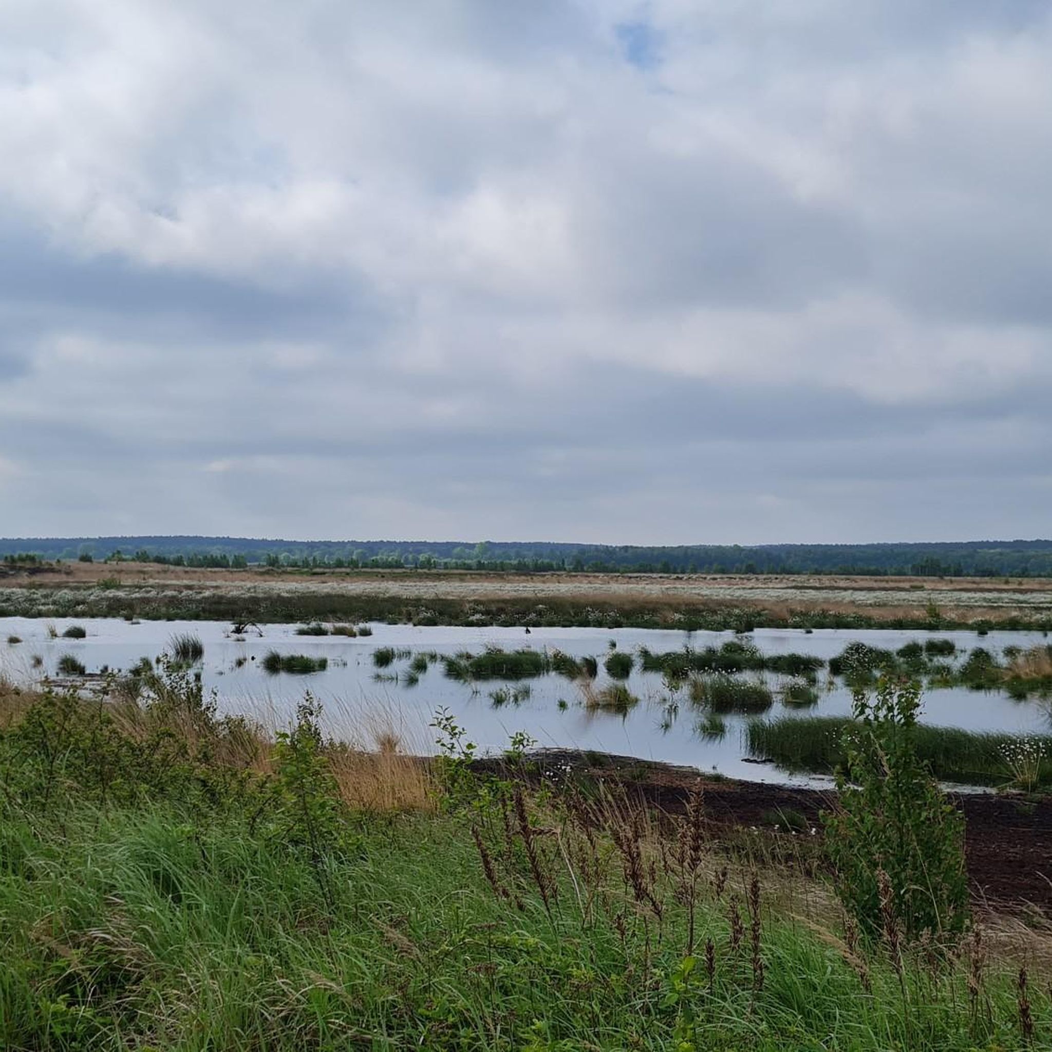
Lonely hiking trail through the NSG Lichtenmoor.
0
0
Frequently Asked Questions
How many hiking trails are available in Weißer Graben?
Weißer Graben offers a wide selection of hiking trails, with over 140 routes available. These range from easy strolls through the moorland to slightly more challenging paths.
What kind of terrain can I expect when hiking in Weißer Graben?
The terrain in Weißer Graben is primarily characterized by its unique high moor landscape. You'll encounter moist grasslands, areas undergoing ecological restoration, and untouched moor birch forests. The paths often traverse wetland areas, sometimes featuring old hand peat cuttings, and are drained by streams like the Alpegraben and Weißer Graben. Expect mostly flat or gently undulating paths typical of a moorland environment.
Are there easy hiking options suitable for beginners in Weißer Graben?
Yes, Weißer Graben is very beginner-friendly, with over 85 easy routes available. These trails typically have minimal elevation gain and are suitable for a relaxed walk. An example is the Blinder See loop from Rodewalder Lichtenheide, which is an easy 4.0 miles (6.4 km) path offering scenic views around the Blinder See.
Are there any circular hiking routes in Weißer Graben?
Many of the trails in Weißer Graben are designed as circular routes, allowing you to start and end at the same point. For instance, the Small pond in the moor loop from Ponyhof Hagedorn is a 3.9 miles (6.3 km) circular trail that guides you through the distinctive moor landscape.
What makes the Weißer Graben area unique for hiking?
Weißer Graben stands out due to its distinctive high moor landscape and ongoing ecological restoration efforts. Hikers can experience unique environments like rewetting areas, moist grasslands, and untouched moor birch forests. The presence of old hand peat cuttings and the Alpegraben and Weißer Graben streams further contribute to its unique wetland character, offering a serene environment for nature observation.
Can I hike with my dog in Weißer Graben?
Generally, dogs are welcome on trails in nature reserves like Weißer Graben, but it's crucial to keep them on a leash to protect the sensitive moorland ecosystem and its wildlife, especially ground-nesting birds in the moist grasslands. Always respect local signage regarding pets.
What is the best time of year to hike in Weißer Graben?
The best time to hike in Weißer Graben is typically from spring to autumn. During these seasons, the weather is generally milder, and the unique flora of the moorland is vibrant. Spring and early summer offer the chance to see meadow birds, while autumn brings beautiful colors to the birch forests. Winter hiking is possible, but paths can be wet or icy, and appropriate footwear is essential.
Are there any amenities like cafes or pubs near the hiking trails?
While Weißer Graben is primarily a nature reserve, some routes may pass close to small villages or rural establishments. For example, the Café at the Stork's Nest loop from Holtorfer Moor suggests there are places to stop for refreshments. It's advisable to check specific route details for nearby amenities or plan to bring your own provisions.
What do other hikers enjoy most about hiking in Weißer Graben?
The komoot community highly rates the hiking experience in Weißer Graben, with an average score of 4.6 stars from over 290 reviews. Hikers often praise the tranquility, the unique moorland scenery, and the opportunity for peaceful nature observation. The well-maintained paths and the distinct ecological features are frequently highlighted as enjoyable aspects.
Are there any moderate or challenging trails for experienced hikers?
While Weißer Graben is known for its easy trails, there are also options for those seeking a bit more challenge. The area offers over 50 moderate routes and a few more difficult ones. A moderate option is the Blinder See loop from Steimbke, which covers 9.4 miles (15.1 km) and includes slightly more varied terrain than the easier loops.
Is parking available at the trailheads in Weißer Graben?
Parking availability varies by trailhead. Many popular starting points for trails, especially those near villages or specific attractions, often have designated parking areas. It is recommended to check the details of your chosen route on komoot, as specific parking information is usually provided there.
Most popular routes in Weißer Graben

Get inspired with the komoot mobile app


Explore more
Browse the best Hikes in other regions.
